Easy hikes and walks in San Mateo County
4.7
(593)
10,567
hikers
510
hikes
Easy hiking trails in San Mateo County traverse a diverse landscape, from dramatic Pacific coastline to serene redwood forests and expansive bay-side reservoirs. The region is characterized by varied topography, including coastal bluffs, sandy beaches, and grasslands. This rich natural environment offers numerous opportunities for outdoor activities within its many San Mateo County parks.
Best easy hiking trails in San Mateo County
- The most popular easy hiking route is Gray Whale Cove and Old San Pedro Mountain Loop, a…
Last updated: October 11, 2026
5.0
(2)
50
hikers
4.91km
01:33
210m
180m
Start your hike with an easy 3.1 miles (4.9 km) loop that offers continuous ocean views as you climb out of Gray Whale Cove. The trail, which gains 682 feet…
5.0
(2)
44
hikers
4.99km
01:32
190m
190m
Step into a world of towering redwoods and lush madrone groves on the Bear Gulch, Redwood, and Madrone Trail Loop. This easy 3.1-mile (5.0 km) hike guides you through the…

5.0
(4)
40
hikers
6.06km
01:46
160m
160m
The Borel Hill and Ancient Oaks Loop offers a delightful escape into the Santa Cruz Mountains, blending open meadows with ancient oak woodlands. You'll journey through rolling hills that open…
32
hikers
4.28km
01:06
10m
20m
The Bayside Park to Robert E Woolley State Park Loop offers a refreshing blend of urban and natural scenery along the San Francisco Bay. You'll wander through open parkland before…
5.0
(3)
15
hikers
6.47km
01:52
170m
170m
Embark on the Tafoni, Fir, and Methuselah Trail Loop, an easy hike spanning 4.0 miles (6.5 km) with a gentle elevation gain of 551 feet (168 metres). You can expect…
16
hikers
4.13km
01:10
100m
50m
Embark on the Clarkia, Sunset, Serpentine and Edgewood Trail Loop for an easy hike through diverse landscapes. This route guides you through grasslands, chaparral, and oak woodlands, offering a varied…
3.0
(2)
15
hikers
5.31km
01:26
70m
70m
Embark on the Hallmark Park Loop, an easy 3.3-mile (5.3 km) hike that offers a refreshing escape. You will navigate a pleasant singletrack path, gaining 220 feet (67 metres) of…
5.0
(1)
12
hikers
5.18km
01:42
240m
240m
The Clipper Ridge and French Trail Loop offers a compact yet challenging hiking experience near Half Moon Bay, delivering incredible coastal vistas for your effort. This 3.2-mile (5.2 km) route,…
10
hikers
4.78km
01:26
160m
150m
Embark on the Pedro Point via Devil's Slide Trail for an easy hike that offers diverse coastal scenery and ocean views. This route covers 3.0 miles (4.8 km) with a…
10
hikers
3.46km
00:59
80m
70m
The Mussel Rock Trail offers a refreshing coastal hiking experience, delivering stunning panoramic views of the Pacific Ocean with relatively little effort. As you walk the 2.1 miles (3.5 km)…
Get access to more routes and recommendations from other explorers.
Already have an account?
Our route recommendations are based on thousands of hikes, rides, and runs completed by other people on komoot.
Start today with a free account
Your next adventure awaits.
Popular around San Mateo County

Easy hikes in Long Ridge Open Space Preserve (Closed Areas)
Easy hikes around La Honda
Easy hikes around Pacifica
Easy hikes in Portola Redwoods State Park
Easy hikes in Russian Ridge Open Space Preserve (Closed Area)
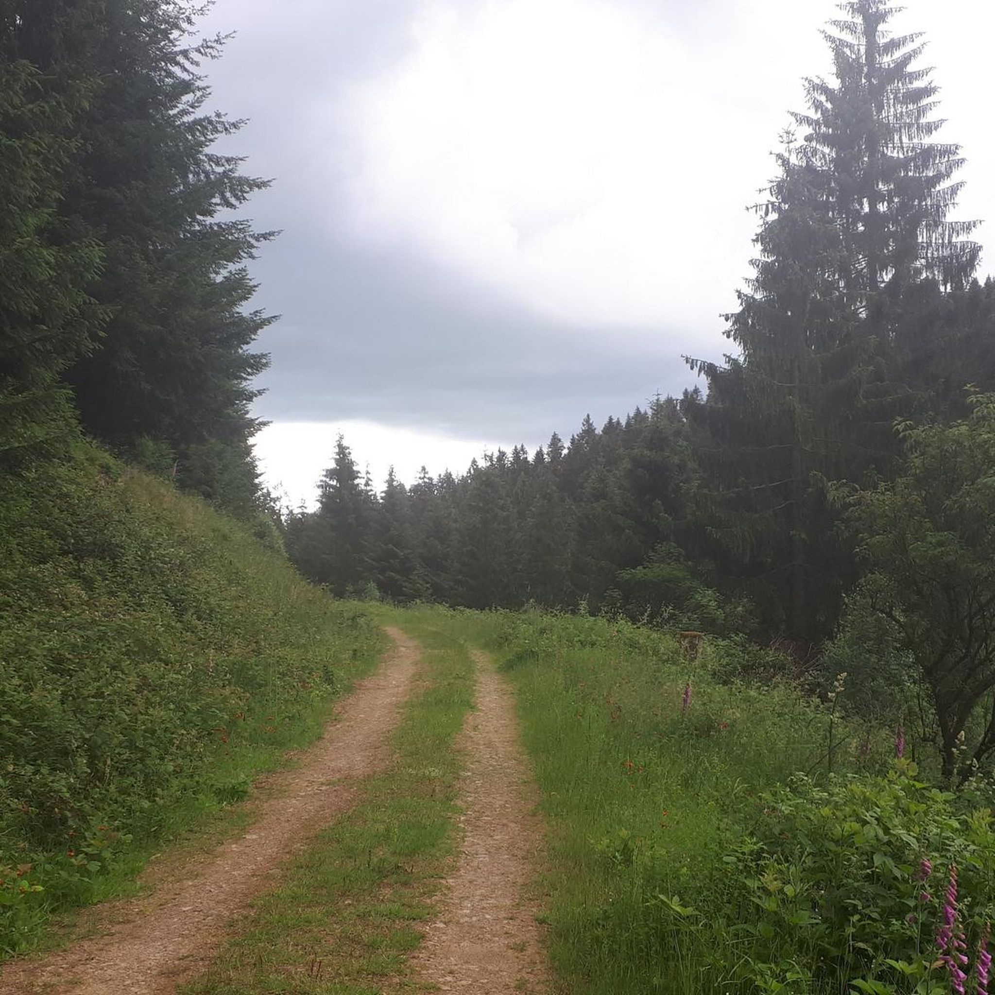
Easy hikes in San Pedro Valley County Park

Easy hikes in La Honda Creek Open Space Preserve
Easy hikes in Skyline Ridge Open Space Preserve (Closed Area)
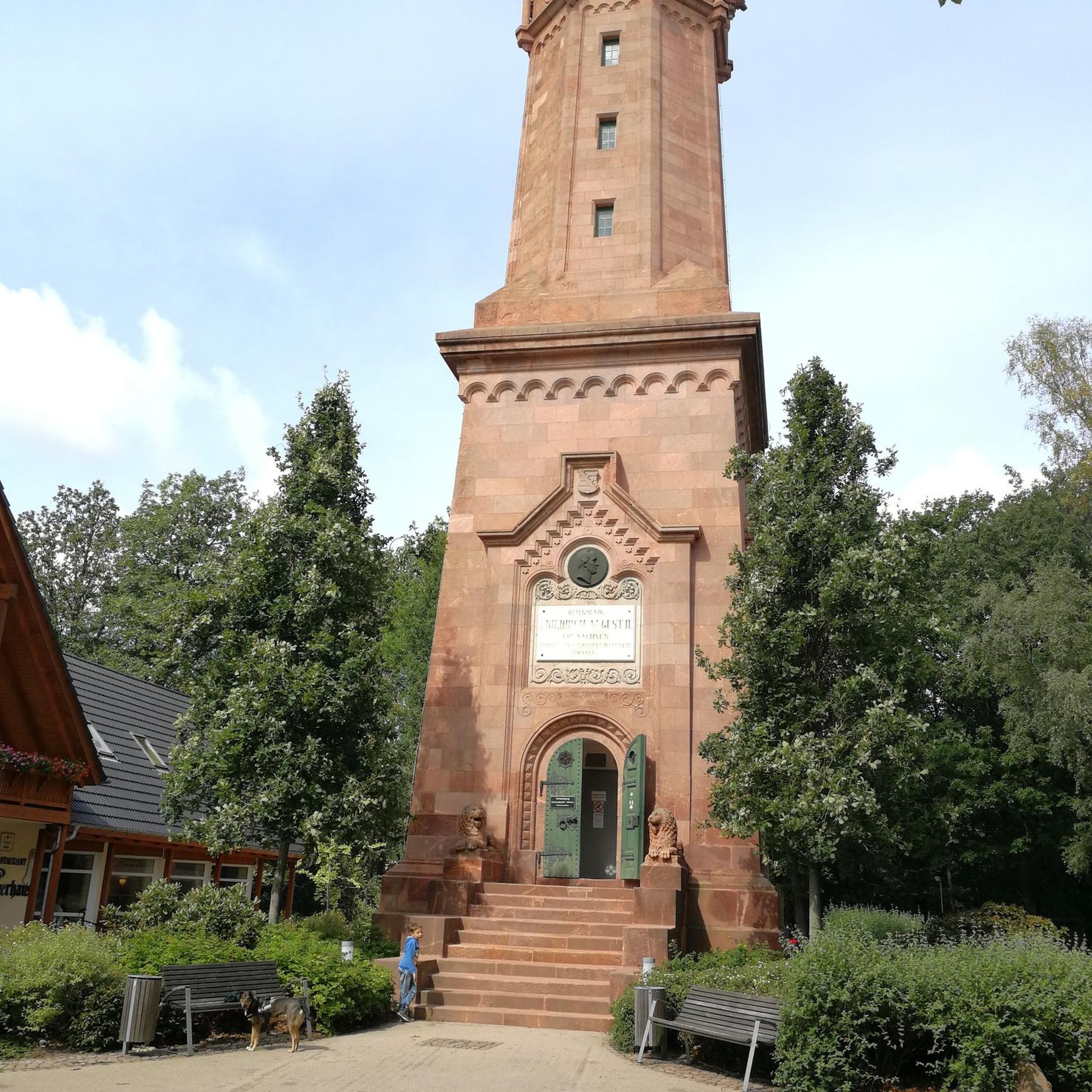
Easy hikes in Huddart County Park

Easy hikes in Purisima Creek Redwoods Open Space Preserve
Other adventures in San Mateo County


Tips from the Community

Pretty, near-panoramic views of the surrounding hills.
0
0

From up here on the ridge you get great sweeping views across the foothills. On a clear day you can see out west to the Pacific Ocean.
0
0

This small park punches well above its weight. There are great fishing, bird watching, and wildlife viewing opportunities. It's also located just south of SFO, so plane watchers can get their fill of watching the take-offs and landing.
0
0

Borel Hill is my favorite place to watch spring flowers. The western slope near ancient oaks (5-10min west of Borel Hill) are covered with orange California Poppies and purple flowers starting in April. Borel Hill itself peaks around mid May and has a wide variety of flowers. The show lasts only a few weeks until end of May. The peak time and flower intensity varies from year to year, so come several times between April and May. There is small summit NW of Borel Hill and a narrow dirt trail leads you to a rock within 2 min. The rock is big enough for 2-3 to sit on. On a sunny day, the rock is nice warm even if the air is cold. Good views on the ocean and the Bay.
1
0

Wunderlich Park, spanning 942 acres, is picturesque, with a beautiful mix of chaparral and redwood forest, expansive meadows, and striking oak and madrone trees. There is plenty of open space featuring a network of lovely hiking trails. Donated to the county by Martin Wunderlich, this area includes what was once the Folger family ranch. The stable and surrounding buildings have been meticulously restored, serving as a cherished historic landmark for the community. Dogs are not allowed in the park, so you'll need to leave your pup at home.
0
0

Gray Whale Cove State Beach is a beautiful, secluded beach located nine miles north of Highway 92 along Highway 1. This 800-foot stretch of white sand is nestled in a small valley known as "Devil's Slide" and is shielded from the highway by cliffs. The beach is named for the gray whales often spotted here during their spring migration. Facilities include free day parking, chemical toilets, but no water, so keep this in mind as you ride.
0
0

The top of Borel Hill has an elevation of 2,572 feet and offers panoramic views of the city below as well as views of the ocean in the distance.
0
0
Frequently Asked Questions
How many easy hiking trails are available in San Mateo County?
There are over 290 easy hiking trails in San Mateo County, offering a wide variety of landscapes from coastal paths to redwood forests. The komoot community has explored more than 500 routes in total across the region.
Are there dog-friendly easy hiking trails in San Mateo County?
Yes, many trails in San Mateo County welcome dogs. Pulgas Ridge Reserve is a notable spot, offering 366 acres of trails, including an off-leash area, making it a great option for hiking with your canine companion.
Which easy trails are suitable for families with children?
Many easy trails in San Mateo County are family-friendly. The Gray Whale Cove and Old San Pedro Mountain Loop is a popular choice, offering coastal views and a relatively short distance. Trails in Memorial Park also provide shaded redwood forest experiences suitable for all ages.
Are there easy loop hikes in San Mateo County?
Yes, San Mateo County features many easy loop trails. The Borel Hill and Ancient Oaks Loop is a great example, leading through open grasslands and ancient oaks. Another option is the Bear Gulch, Redwood, and Madrone Trail Loop for a tranquil forest experience.
What kind of views can I expect on easy hikes in San Mateo County?
San Mateo County's easy hikes offer diverse views. You can find stunning Pacific Ocean vistas along coastal trails like the Pedro Point via Devil's Slide Trail. Inland, trails like those in Junipero Serra County Park or along the Crystal Springs Regional Trail provide panoramic views of the San Francisco Bay and serene reservoir settings.
Are there easy trails that go through redwood forests?
Absolutely. San Mateo County is home to magnificent redwood forests. The Bear Gulch, Redwood, and Madrone Trail Loop offers a tranquil path through shaded redwoods. Memorial Park and Purisima Creek Redwoods Open Space Preserve also feature extensive redwood trails suitable for easy hiking.
What are some interesting natural attractions to see near easy hiking trails?
Many easy trails are close to natural attractions. You can see the Lower Crystal Springs Reservoir and San Andreas Lake from trails like the Crystal Springs Regional Trail. Coastal routes often provide access to tide pools and dramatic bluffs, such as those near Gray Whale Cove State Beach.
When is the best time of year for easy hikes in San Mateo County?
San Mateo County offers pleasant hiking conditions year-round due to its mild climate. Spring is particularly beautiful, especially in areas like Edgewood Park & Natural Preserve, which is famous for its magnificent spring wildflowers. Coastal trails are enjoyable in all seasons, though can be windy.
Are there easy coastal hikes in San Mateo County?
Yes, the county boasts nearly 60 miles of Pacific coastline with several easy coastal trails. The Pedro Point via Devil's Slide Trail, converted from a former highway, offers stunning ocean views. The Mussel Rock Trail is another easy option with ocean vistas.
What do other hikers enjoy most about easy trails in San Mateo County?
The easy trails in San Mateo County are highly rated by the komoot community, with an average score of 4.7 stars. Reviewers often praise the diverse scenery, from dramatic coastal bluffs to serene redwood forests, and the well-maintained paths that make for an enjoyable and accessible outdoor experience.
Are there easy trails with wildflowers in San Mateo County?
Yes, Edgewood Park & Natural Preserve is renowned for its vibrant wildflower displays, especially in spring. Its serpentine grasslands provide a unique habitat for a wide variety of native flowers, making it a prime spot for nature enthusiasts.
Are there any easy trails accessible by public transport?
While many trails require a car for direct access, some areas are more accessible. For instance, the Crystal Springs Regional Trail has multiple access points, some of which are closer to public transport routes. It's best to check local transit schedules for specific trailheads.
What are some shorter easy hikes for a quick outing?
For shorter outings, the Mussel Rock Trail is about 2.1 miles, offering quick coastal views. The Bayside Park to Robert E Woolley State Park Loop is another short option at 2.7 miles, providing bay views with minimal elevation gain.
Most popular routes in San Mateo County
Most popular attractions in San Mateo County

Get inspired with the komoot mobile app


Didn’t find what you were looking for?
Check out more Hikes throughout San Mateo County below and find the perfect route in your destination.
Explore more
Browse the best Hikes in other regions.
