Easy hikes and walks around Centro-Sur O Guadalorce
4.4
(9642)
83,298
hikers
1,596
hikes
Easy hiking trails around Centro-Sur O Guadalorce traverse a diverse landscape, characterized by the fertile Guadalhorce Valley with its olive and orange groves, and the dramatic El Chorro Gorge. The region features river ecosystems, including the Guadalhorce River Estuary, known for its wetlands and birdlife. Hikers can explore areas with distinctive limestone formations, such as those near El Torcal de Antequera, and enjoy paths through natural parks like Sierra de las Nieves, which offers pine forests and gentle mountain terrain. The varied topography provides numerous options for accessible walks and scenic paths.
Best easy hiking trails around Centro-Sur O Guadalorce
- The most popular easy hiking route is Sendero Acequia del Guadalmina – circular route, a 2.9 miles (4.6 km) trail that takes 1 hour 16 minutes to complete. This path follows an ancient irrigation channel through a scenic gorge.
- Another top favourite among local hikers is Charco de Las Nutrias from Puerta del Parque Cultural Camino del río del Castor — round trip, an easy 4.1 miles (6.6 km) path. This route explores a riverine environment, leading to natural pools.
- Local hikers also love the La Cala de Mijas Singular Trees Trail, a 4.0 miles (6.4 km) trail leading through areas featuring notable flora, often completed in about 1 hour 45 minutes.
- Hiking around Centro-Sur O Guadalorce is defined by river valleys, coastal paths, and natural park trails. The network offers options for different ability levels, with many routes suitable for easy walks.
- The routes in Centro-Sur O Guadalorce are highly rated by the komoot community with an average score of 4.4 stars from over 7,900 reviews. More than 67,000 hikers have used komoot to explore Centro-Sur O Guadalorce's varied terrain.
Last updated: October 11, 2026
4.7
(314)
1,254
hikers
4.65km
01:17
80m
80m
Easy hike. Great for any fitness level. Easily-accessible paths. Suitable for all skill levels.
3.9
(27)
154
hikers
Easy hike. Great for any fitness level. Easily-accessible paths. Suitable for all skill levels.

4.1
(14)
242
hikers
4.76km
01:13
20m
20m
Explore Estepona's Old Town and coastal promenade on this easy 3.0-mile hike, featuring charming streets and Mediterranean views.
4.5
(49)
117
hikers
6.43km
01:45
100m
100m
This easy 4.0-mile circular hike in Mijas Costa offers pleasant views and takes about 1 hour and 45 minutes to complete.
4.2
(13)
153
hikers
7.73km
01:59
30m
30m
This easy 4.8-mile circular hike from Puerto de Estepona takes you past the Faro del Punta Doncella and along Playa de Guadalobón.
4.5
(4)
108
hikers
4.78km
01:13
10m
10m
Easy hike. Great for any fitness level. Easily-accessible paths. Suitable for all skill levels.
4.0
(2)
12
hikers
2.32km
00:42
90m
90m
Easy hike. Great for any fitness level. Easily-accessible paths. Suitable for all skill levels.
45
hikers
3.88km
00:59
10m
10m
Hike the easy 2.4-mile Senda Litoral Trail along the Mediterranean coast, passing Torre de la Sal and the Manilva River mouth.
3.8
(4)
12
hikers
5.77km
01:29
30m
30m
Hike the easy 3.6-mile Fuengirola River Trail through Parque Fluvial de Fuengirola, enjoying waterfalls, wooden bridges, and views of Sohail
5.0
(1)
18
hikers
Easy 3.4-mile coastal hike along the GR 92 from Playa de Guadalobón, featuring sandy beaches and river mouth views.
Get access to more routes and recommendations from other explorers.
Already have an account?
Our route recommendations are based on thousands of hikes, rides, and runs completed by other people on komoot.
Start today with a free account
Your next adventure awaits.
Popular around Centro-Sur O Guadalorce
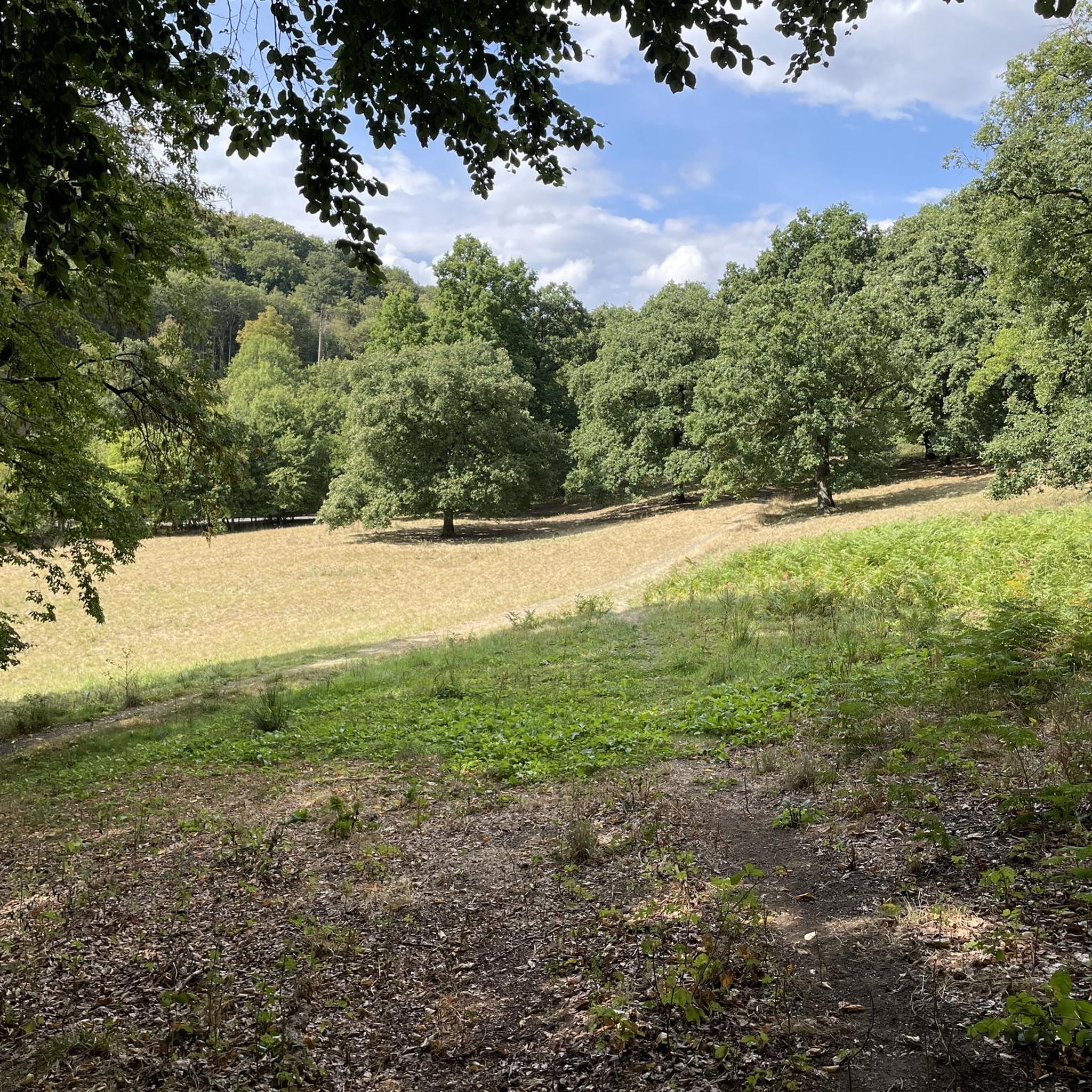
Easy hikes in Sierras Bermeja Y Real

Easy hikes in Sierra Blanca

Easy hikes in Arroyo De La Cala

Easy hikes around National Park Sierra de las Nieves

Easy hikes around Río Manilva

Easy hikes around Río Del Padrón
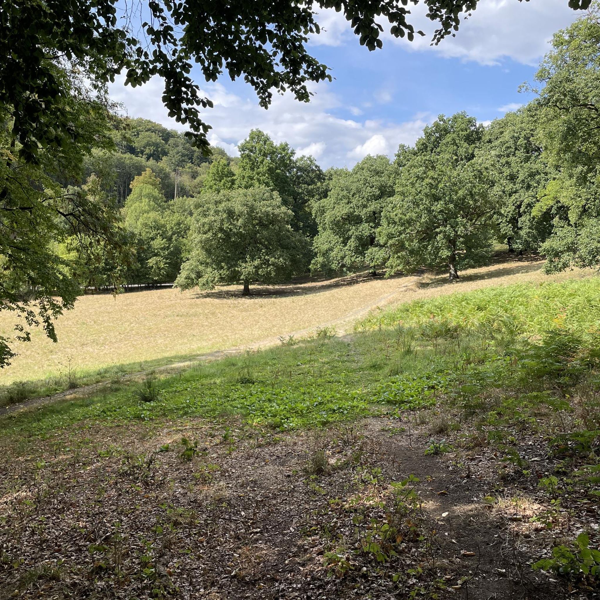
Easy hikes around Río Guadalmina

Easy hikes in Sierra De Las Nieves
Easy hikes around Río Fuengirola

Easy hikes in Sierras De Alcaparain Y Aguas
Other adventures around Centro-Sur O Guadalorce


Tips from the Community

Known as "the garden of the Costa del Sol", the old town of Estepona surprises with its whitewashed pedestrian streets, decorated with hundreds of flowerpots of all colors. In the heart of the neighborhood, the Plaza de las Flores brings together orange trees, terraces, and the most lively atmosphere of the town.
0
0
Known as "the garden of the Costa del Sol", the old town of Estepona surprises with its whitewashed pedestrian streets, decorated with hundreds of flowerpots of all colors. In the heart of the neighborhood, the Plaza de las Flores brings together orange trees, terraces, and the liveliest atmosphere of the town.
1
0
The Guadalmina gorge, also known as Las Angosturas, is one of the most refreshing spots in Benahavís and in summer it is common to see people bathing or doing the water route. If you dare to enter the water, wear closed-toe shoes with good grip and keep in mind that some sections can be deep and require swimming.
1
0
This wooden bridge over the Guadalmina river is one of the most photogenic spots on this trail.
1
0


An impressively beautiful wooden construction.
0
0
A wonderful path to enjoy!
0
0

An "Acequia" (from the Arabic "Assáqya") is an irrigation system used exclusively for irrigation. It is divided into various channels and utilizes the topography of the terrain to direct water to different areas. This ingenious engineering feat is still used today. In the past, there was an "Alcalde de Aguas" who was responsible for controlling irrigation times and cleaning the system.
0
0
Frequently Asked Questions
How many easy hiking trails are available in Centro-Sur O Guadalorce?
Centro-Sur O Guadalorce offers a wide selection of easy hiking trails, with over 680 routes suitable for all skill levels. These paths traverse diverse landscapes, from river valleys to coastal areas and natural parks.
What do other hikers say about the easy trails in Centro-Sur O Guadalorce?
The easy trails in Centro-Sur O Guadalorce are highly rated by the komoot community, with an average score of 4.4 stars from over 7,900 reviews. Hikers often praise the varied scenery, well-maintained paths, and the accessibility of these routes for a relaxed outdoor experience.
What is the best time of year for easy hiking in Centro-Sur O Guadalorce?
The best time for easy hiking in Centro-Sur O Guadalorce is typically during the spring (March to May) and autumn (September to November) months. During these periods, the weather is mild and pleasant, making it ideal for exploring the region's diverse landscapes without the intense heat of summer. Winter can also be suitable, especially for coastal paths, though some mountain areas might be cooler.
Are there any easy circular routes in Centro-Sur O Guadalorce?
Yes, there are several easy circular routes available. One popular option is the Sendero Acequia del Guadalmina – circular route, which follows an ancient irrigation channel through a scenic gorge. Another is the Circular walk through Mijas Pueblo, offering a charming exploration of the white village.
Can I find easy trails suitable for families in Centro-Sur O Guadalorce?
Absolutely. Many easy trails in Centro-Sur O Guadalorce are perfect for families. Routes like the Estepona Coastal Trail or the Fuengirola River Trail offer relatively flat terrain and engaging scenery, making them enjoyable for all ages. The Guadalhorce River Estuary also provides well-marked paths ideal for family outings and birdwatching.
Are dogs allowed on easy hiking trails in Centro-Sur O Guadalorce?
Many easy hiking trails in Centro-Sur O Guadalorce are dog-friendly, especially those in less protected areas or along coastal paths. It's always recommended to keep dogs on a leash and check specific park regulations if you plan to visit natural parks like Sierra de las Nieves or the Guadalhorce River Estuary, as rules may vary to protect wildlife.
Are there easy trails with viewpoints or scenic lookouts?
Yes, the region boasts numerous easy trails with rewarding viewpoints. The dramatic El Chorro Gorge offers breathtaking views, and while the Caminito del Rey is more adventurous, surrounding easy paths provide glimpses of its grandeur. You can also find scenic lookouts along coastal routes like the Malaga Coastal Path, or explore areas near Cerro Majano - La Esperanza for panoramic vistas.
Are there easy trails that pass by water features like rivers or lakes?
Yes, the region is rich in water features. The Charco de Las Nutrias from Puerta del Parque Cultural Camino del río del Castor — round trip leads to natural pools. The Guadalhorce River Estuary offers paths like the Río Viejo and Laguna Grande routes, perfect for birdwatching. The Casasola and Tajo de la Encantada Reservoirs also feature picturesque routes with stunning water views.
What kind of natural features can I expect to see on easy hikes in Centro-Sur O Guadalorce?
Easy hikes in Centro-Sur O Guadalorce showcase a variety of natural features. You'll encounter the fertile Guadalhorce Valley with its olive and orange groves, dramatic limestone formations near El Torcal de Antequera, and the rich biodiversity of the Guadalhorce River Estuary, a key stopover for migratory birds. Trails also wind through pine forests in areas adjacent to the Sierra de las Nieves Natural Park.
Are there any easy coastal walks in Centro-Sur O Guadalorce?
Yes, the region offers several pleasant coastal walks. The Malaga Coastal Path and the Estepona Coastal Trail are excellent examples, providing easy, flat routes with refreshing sea breezes and scenic views of the Mediterranean.
Are there any easy trails that explore the local flora?
Certainly. The La Cala de Mijas Singular Trees Trail is specifically designed to highlight notable flora. Additionally, the Guadalhorce River Estuary Natural Area is known for its diverse aquatic plants and riverside vegetation, including poplars, eucalyptus, and tamarisks, making its paths ideal for botanical exploration.
Are there any easy trails near charming villages or historical sites?
Yes, many easy trails are close to or pass through charming 'white villages' (pueblos Blancos) like Álora, Cartama, and Mijas. The Circular walk through Mijas Pueblo is a great example. You can also find historical landmarks such as Alora Castle and Cartama Castle nearby, offering cultural exploration alongside your hike.
What are some short, easy hikes suitable for a quick outing?
For a quick outing, consider routes like the Sendero Acequia del Guadalmina – circular route, which is about 4.6 km and takes just over an hour. Another option is the Senda Litoral Trail, a 3.8 km path that can be completed in under an hour, perfect for a leisurely stroll.
Most popular routes around Centro-Sur O Guadalorce
Most popular attractions around Centro-Sur O Guadalorce

Get inspired with the komoot mobile app


Didn’t find what you were looking for?
Check out more Hikes throughout Centro-Sur O Guadalorce below and find the perfect route in your destination.
Explore more
Browse the best Hikes in other regions.
