The best gravel rides around Saint-Point
3.2
(10)
116
riders
14
rides
Gravel bike trails around Saint-Point are situated within the Jura Mountains, offering a diverse landscape ideal for gravel cycling. The region features a mix of quiet roads, forest paths, and varied unpaved surfaces across valleys, plateaus, and hills. Lac de Saint-Point, one of France's largest natural lakes, is a prominent feature, with routes often traversing its scenic surroundings. This area provides a compelling blend of adventure and natural beauty for gravel bikers.
Best gravel bike trails around Saint-Point
- The most…
Last updated: July 3, 2026
3.3
(3)
75
riders
99.0km
07:59
2,010m
2,010m
Hard gravel ride. Very good fitness required. Mostly paved surfaces. Suitable for all skill levels.
12
riders
70.7km
06:07
1,500m
1,500m
Hard gravel ride. Very good fitness required. Mostly paved surfaces. Suitable for all skill levels.

Sign up for free
3
riders
15.9km
01:21
360m
360m
Moderate gravel ride. Good fitness required. Mostly paved surfaces. Suitable for all skill levels.
5.0
(1)
3
riders
48.6km
03:38
1,040m
1,040m
Hard gravel ride. Very good fitness required. Mostly paved surfaces. Suitable for all skill levels.
3
riders
43.7km
03:18
1,060m
1,050m
Hard gravel ride. Very good fitness required. Mostly paved surfaces. Suitable for all skill levels.
Get access to more routes and recommendations from other explorers.
Sign up for free
Already have an account?
Our route recommendations are based on thousands of hikes, rides, and runs completed by other people on komoot.
Start today with a free account
Your next adventure awaits.
Login or Signup
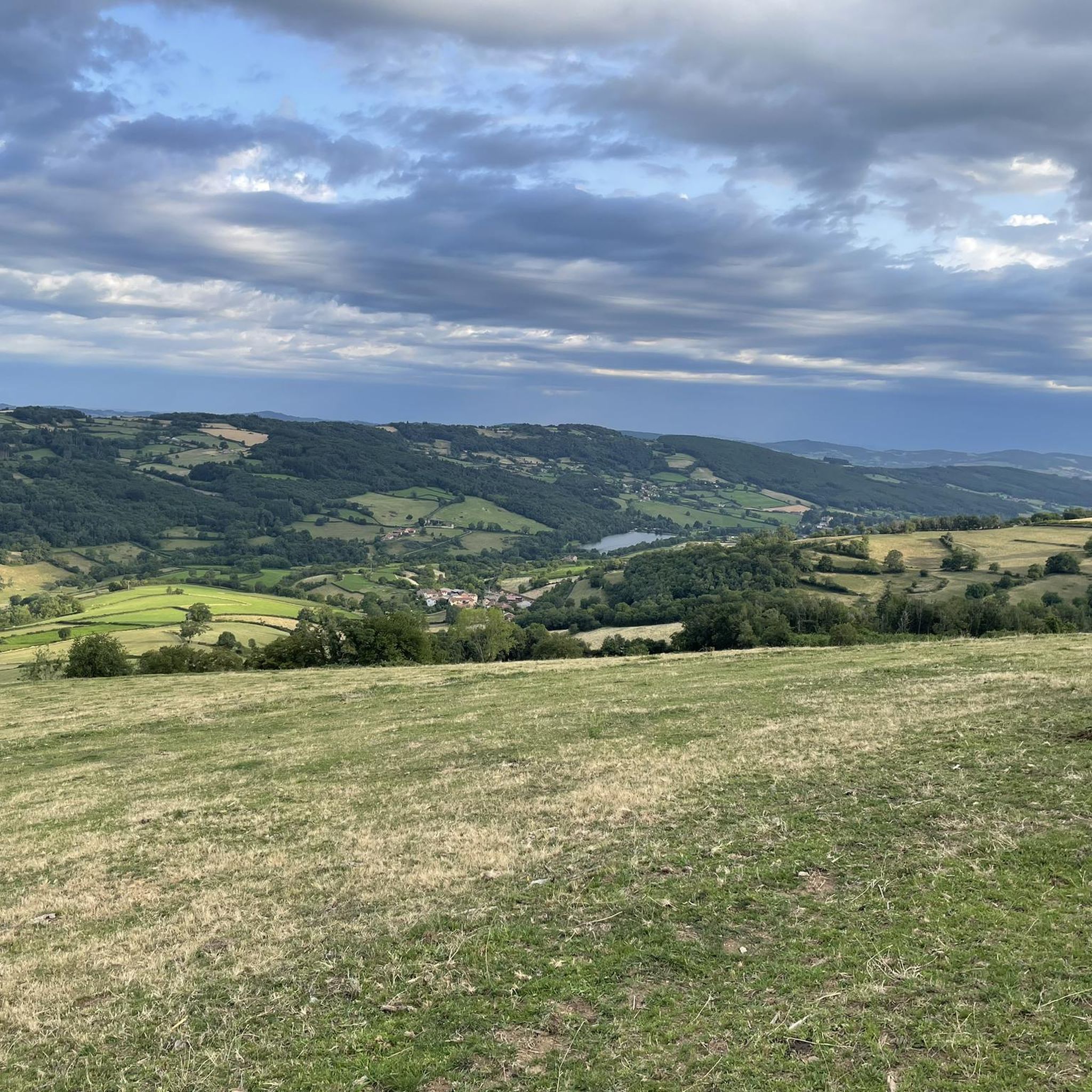
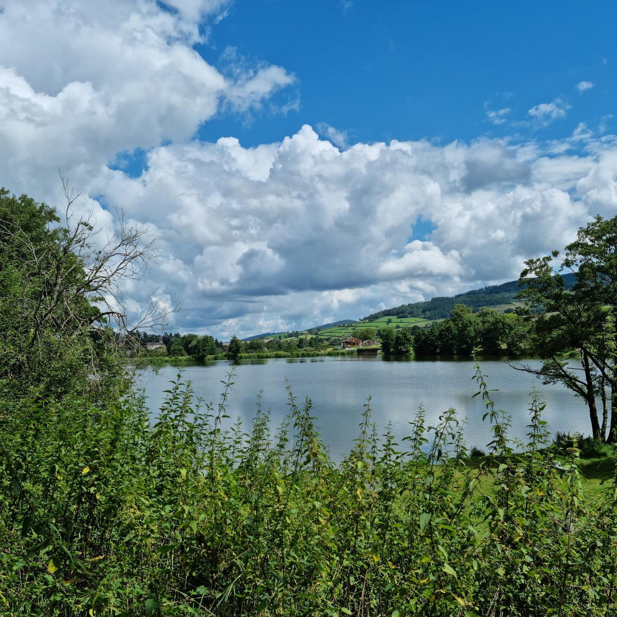
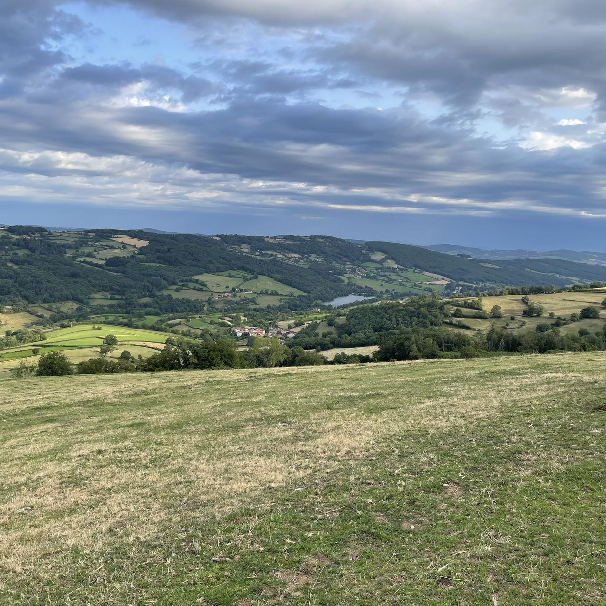
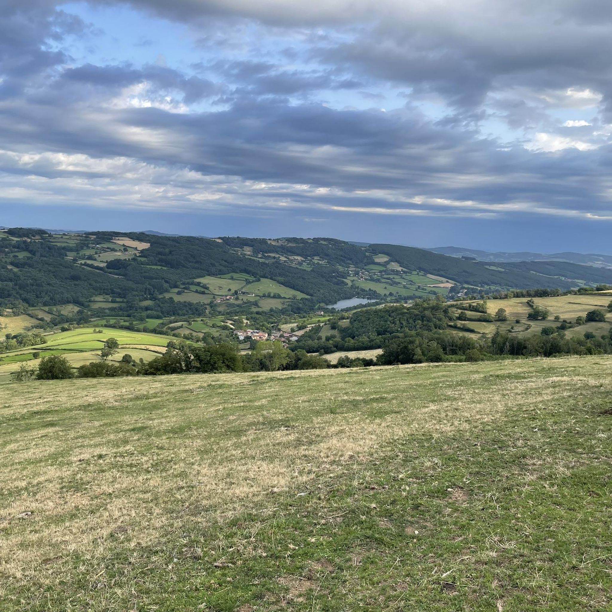
Tips from the Community

The Rock of Solutré is a world-famous, 493-meter-high limestone rock in the south of the Burgundy region. It is located amidst the picturesque vineyards of the municipality of Solutré-Pouilly. The region is officially designated as a Grand Site de France. The hike to the summit is easy to moderate and very doable for families. It takes about 1 hour for the entire loop (approx. 4 kilometers round trip). The elevation gain is around 100 to 140 meters from the official parking lot on well-maintained paths with information panels, although there are many steps.
1
0
Although the pass is located in France and is not extremely high, its name translates to "Siberia Pass". The name goes back to the often very cold, snow-rich winds and the harsh weather conditions in winter.
1
0
The lake is located in the Doubs department in the French region of Bourgogne-Franche-Comté at an altitude of around 850 meters. After Lac du Bourget and Lac d'Annecy, it is the third largest natural lake in France. It is a very popular lake for swimming in the summer and offers opportunities for kayaking, windsurfing, and stand-up paddling. There is also a popular hiking trail around the entire lake, approximately 20 kilometers long.
1
0
The Col de Gerbet (612 m) is an idyllic mountain pass in the French wine-growing region of Beaujolais. Depending on the starting point, various roads with little traffic lead up to the pass via the D137. From Juliénas (south-east approach): This route is 7.3 kilometers long. It overcomes 342 meters of altitude with a steady, moderate gradient of 4.7% on average. The road winds through shady forest sections. From La Croix Blanche (west approach): A tougher variant 4.5 kilometers long. Here you conquer 270 meters of altitude with an average gradient of 6% and ramps of up to 11%.
1
0
The former Cluny-Chalon-sur-Saône railway line has been decommissioned. The old station grounds now serve as the central bus stop ("Cluny Gare") for regional buses. Lines 701 and 709 of the Mobigo network connect the town to the TGV station in Mâcon in about 30 minutes. Directly at the old station runs the Voie Verte (an asphalted railway path cycle route). There is a large e-bike and bicycle rental service on site for tourists.
1
0
Founded in 910, the Benedictine abbey developed into the starting point of the Cluniac reform movement. In the High Middle Ages, it was one of the most influential religious and political centers in Western Europe. At its peak, the Cluny congregation comprised around 1,200 monasteries with over 20,000 monks across the continent. Cluny was independent of secular rulers and local bishops. It was directly subordinate to the Pope in Rome.
1
0
The Château de Berzé-le-Châtel (also known as Forteresse de Berzé) is the largest and best-preserved medieval castle in southern Burgundy. The site dates back to a 10th-century castrum and was strategically built on a rocky outcrop to protect the nearby powerful Abbey of Cluny. The fortress consists of three concentric walls and features 13 towers (including two keeps/donjons) as well as an imposing gatehouse. The heart inside is a remarkable Carolingian chapel.
1
0
The Château de Berzé-le-Châtel (also Forteresse de Berzé) is the largest and best-preserved medieval castle in Southern Burgundy. The complex dates back to a 10th-century castrum and was strategically built on a rocky outcrop to protect the nearby powerful Abbey of Cluny. The fortress consists of three ring walls and has 13 towers (including two keeps/donjons) as well as an imposing gatehouse. The centerpiece inside is a remarkable Carolingian chapel.
0
0
Frequently Asked Questions
How many gravel bike trails are available around Saint-Point?
There are over 9 gravel bike routes documented on komoot around Saint-Point, offering a variety of experiences for different skill levels. The broader Jura Mountains region, which encompasses Saint-Point, boasts over 2,000 kilometers of routes suitable for gravel cycling.
What are the difficulty levels of gravel bike trails in Saint-Point?
The gravel bike trails around Saint-Point range from moderate to difficult. You'll find 2 moderate routes and 7 difficult routes, providing options for both experienced riders and those looking for a significant challenge.
Are there any family-friendly or easier gravel bike routes near Saint-Point?
While many routes are moderate to difficult, the Cluny – Cluny Abbey loop from Cluny is a moderate 9.9 miles (15.9 km) path that offers a shorter ride through a historic area, which could be suitable for families or those seeking a less strenuous option. Additionally, the well-maintained 23-kilometer path around Lac de Saint-Point is perfect for cycling, though it may not be exclusively gravel.
What kind of terrain can I expect on gravel bike trails in Saint-Point?
The terrain around Saint-Point is incredibly diverse, characteristic of the Jura Mountains. You'll encounter a mix of quiet roads, dense forest paths, and varied unpaved surfaces across valleys, plateaus, and hills. This includes stony tracks, dirt tracks, and forest lanes, providing a true gravel biking experience.
What are some scenic highlights or natural features I can see along the gravel routes?
The region is rich in natural beauty. You can expect breathtaking panoramas from viewpoints like Mont d'Or, dense forests, and prehistoric rock formations. The stunning Lac de Saint-Point is a prominent feature, and you might also encounter the striking Source Bleue, a resurgence spring with bright blue water. For specific natural monuments, consider visiting Roche de Solutré or Vergisson Rock.
Are there any historical or cultural sites accessible by gravel bike around Saint-Point?
Yes, several routes allow you to combine cycling with historical exploration. The area around Cluny, a historically significant town centered around a Benedictine monastery, offers picturesque landscapes and the remarkable relics of the Cluniac Abbey. The Cluny – Cluny Abbey loop from Cluny is a great option for this. You can also explore cultural landmarks such as the impressive Château de Joux and Fort Malher, which overlook the village of La Cluse-et-Mijoux.
What is the best time of year for gravel biking in Saint-Point?
The warmer months are generally ideal for gravel biking around Saint-Point, allowing you to fully enjoy the lakes and water sports. However, the diverse terrain means that spring and autumn also offer beautiful riding conditions with vibrant foliage or blooming landscapes. In winter, while the lake may freeze for ice skating, some trails might be suitable for winter riding, though conditions can vary.
Are there any long-distance or multi-day gravel biking options in the region?
Yes, the Jura Mountains are home to the Grande Traversée du Jura (GTJ) gravel variant, an iconic itinerary spanning approximately 384 kilometers. This route offers less technical options on tracks and forest lanes, making it ideal for gravel bikes. While not directly from Saint-Point, it's a significant regional option for multi-day adventures.
What do other gravel bikers enjoy most about gravel biking in Saint-Point?
The area is highly rated by the komoot community, with an average score of 3.5 stars from over 7 reviews. Reviewers often praise the diverse landscape, the mix of quiet roads and varied unpaved surfaces, and the blend of adventure and natural beauty found across the valleys, plateaus, and hills.
Are there any circular gravel bike routes available?
Yes, many of the routes around Saint-Point are designed as loops. For example, the popular Cluny – Voie verte of Southern Burgundy loop from Mâcon and the Col de Gerbet – Col de la Grange du Bois loop from Sologny are both circular routes, allowing you to start and finish in the same location.
What are some of the longer gravel routes I can explore?
For a longer ride, consider the Cluny – Voie verte of Southern Burgundy loop from Mâcon, which is a challenging 61.6 miles (99.1 km) trail. Another substantial option is the Mont Rouge – Forest Path Around Chevagny loop from La Roche-Vineuse, covering 50.5 km (31.4 miles).
Most popular routes around Saint-Point
Most popular attractions around Saint-Point

Get inspired with the komoot mobile app


Explore more
Browse the best Gravel rides in other regions.
