The best road cycling routes around Saint-Point
4.4
(72)
1,979
riders
150
rides
Road cycling around Saint-Point features varied terrain within the Jura Mountains, centered around Lac de Saint-Point, the third largest natural lake in France. The landscape transitions from tranquil lakeside views at an altitude of almost 850 meters to more challenging mountainous areas. Cyclists encounter a mix of pastures, pine forests, and rolling hills, with some routes incorporating former railway tunnels. This region offers diverse road cycling experiences across its natural features.
Best road cycling routes around Saint-Point
- The most popular…
Last updated: July 4, 2026
4.5
(2)
59
riders
51.7km
02:55
1,080m
1,080m
Hard road ride. Very good fitness required. Mostly well-paved surfaces and easy to ride.
5.0
(2)
18
riders
51.6km
02:30
760m
760m
Moderate road ride. Good fitness required. Mostly well-paved surfaces and easy to ride.

Sign up for free
5.0
(1)
12
riders
41.4km
01:56
540m
540m
Moderate road ride. Good fitness required. Mostly well-paved surfaces and easy to ride.
5.0
(1)
8
riders
40.1km
02:11
840m
840m
Moderate road ride. Good fitness required. Mostly well-paved surfaces and easy to ride.
8
riders
54.3km
02:55
1,090m
1,090m
Hard road ride. Very good fitness required. Mostly well-paved surfaces and easy to ride.
Get access to more routes and recommendations from other explorers.
Sign up for free
Already have an account?
Our route recommendations are based on thousands of hikes, rides, and runs completed by other people on komoot.
Start today with a free account
Your next adventure awaits.
Login or Signup
Tips from the Community

The Rock of Solutré is a world-famous, 493-meter-high limestone rock in the south of the Burgundy region. It is located amidst the picturesque vineyards of the municipality of Solutré-Pouilly. The region is officially designated as a Grand Site de France. The hike to the summit is easy to moderate and very doable for families. It takes about 1 hour for the entire loop (approx. 4 kilometers round trip). The elevation gain is around 100 to 140 meters from the official parking lot on well-maintained paths with information panels, although there are many steps.
1
0
Although the pass is located in France and is not extremely high, its name translates to "Siberia Pass". The name goes back to the often very cold, snow-rich winds and the harsh weather conditions in winter.
1
0
The Col de Gerbet (612 m) is an idyllic mountain pass in the French wine-growing region of Beaujolais. Depending on the starting point, various roads with little traffic lead up to the pass via the D137. From Juliénas (south-east approach): This route is 7.3 kilometers long. It overcomes 342 meters of altitude with a steady, moderate gradient of 4.7% on average. The road winds through shady forest sections. From La Croix Blanche (west approach): A tougher variant 4.5 kilometers long. Here you conquer 270 meters of altitude with an average gradient of 6% and ramps of up to 11%.
1
0
The pass is a popular climb for road cyclists in the region. The route from Villié-Morgon via the Col du Truges up to the higher Col du Fût d'Avenas is considered a scenically beautiful, steady tour past gentle vineyards.
0
0

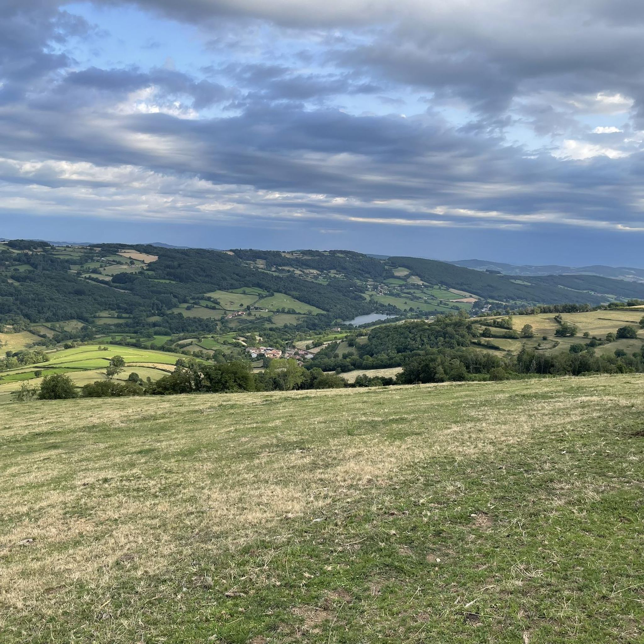
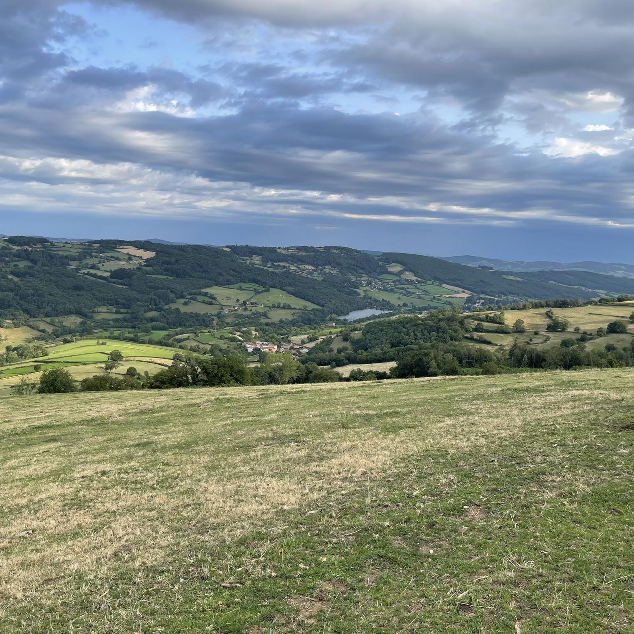
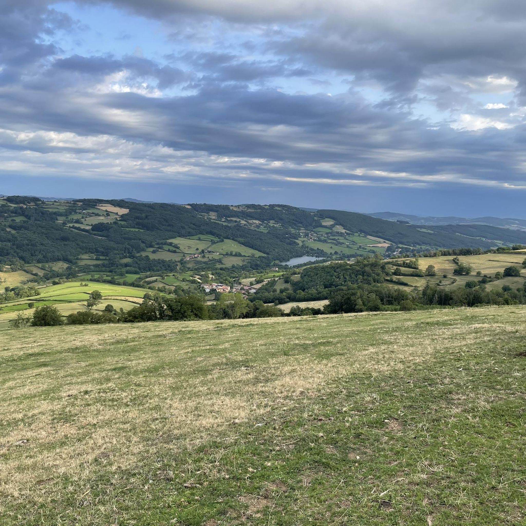
From here, you face a typical panorama of the Haut-Beaujolais with large, rolling meadows, dotted with wooded groves and highlighted by the region's highest peaks.
0
0

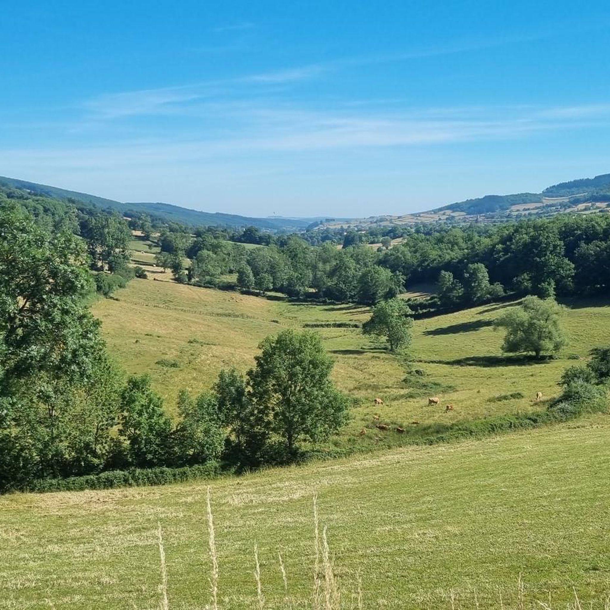
Gentle slope in a stunningly beautiful setting...
0
0


Frequently Asked Questions
How many road cycling routes are available in Saint-Point?
There are over 150 road cycling routes around Saint-Point, offering a wide range of experiences. These include routes for easy, moderate, and difficult ability levels, with the majority being moderate.
What is the best time of year for road cycling in Saint-Point?
The warmer months, typically from spring through autumn, are ideal for road cycling in Saint-Point. During this period, the weather is generally favorable for exploring the lake and mountain passes, and water sports activities are also available at Lac de Saint-Point.
What are the typical terrain and elevation challenges for road cycling in the Jura Mountains around Saint-Point?
Road cycling in Saint-Point offers varied terrain. You'll find tranquil lakeside views at an altitude of almost 850 meters, transitioning to more challenging mountainous areas. Routes often feature a mix of pastures, pine forests, and rolling hills, with some incorporating significant elevation gains through mountain passes. For example, the Col de Gerbet – Col de la Grange du Bois loop from Saint-Point involves over 1000 meters of elevation gain.
Are there road cycling routes suitable for beginners or families in Saint-Point?
Yes, Saint-Point offers routes suitable for various skill levels, including easy options. While specific family-friendly routes are not detailed, the approximately 20 km loop around Lac de Saint-Point itself includes dedicated cycle paths and sections shared with the Grande Traversée du Jura, making it a good choice for less experienced riders or families looking for a scenic, less challenging ride.
What kind of views can I expect while cycling around Lac de Saint-Point?
Cycling around Lac de Saint-Point offers continuous scenic views of the lake, surrounding pastures, and rolling hills. The region's diverse topography, characteristic of the Jura Mountains, provides ever-changing vistas, from lush green pastures to pine forests. You'll also encounter charming villages and picturesque spots like Port-Titi.
Are there any historical landmarks or natural sights to see along the road cycling routes?
Yes, the region is rich in natural and historical sights. You can discover impressive waterfalls, rivers, gorges, and unique geological formations. Notable attractions include the striking Source Bleue, a blue spring resurgence near the lake, and the imposing Medieval fortress of Berzé-le-Châtel. Many routes also pass through or near various mountain passes like Col de la Grange du Bois or Col de Gerbet, offering expansive views.
Where can I find parking near the road cycling routes in Saint-Point?
Parking is generally available in and around the villages surrounding Lac de Saint-Point, such as Malbuisson and Saint-Point. These areas serve as common starting points for many cycling routes, including the popular lake loop and longer mountain excursions.
Is public transport available to access road cycling routes in Saint-Point?
While specific public transport options directly to trailheads for road cycling are limited, regional bus services connect major towns in the Jura Mountains. It's advisable to check local transport schedules for connections to villages like Saint-Point or Malbuisson, which are common starting points for routes.
Are there any circular road cycling routes around Saint-Point?
Yes, many road cycling routes in Saint-Point are designed as loops, allowing you to start and end in the same location. A popular example is the Col de Crie, 622 m – Champ Juin Pass - 742 m loop from Tramayes, which offers a moderate 53 km ride with scenic views.
Are there challenging road cycling routes for experienced riders?
Absolutely. The Jura Mountains present numerous challenging ascents, or 'Cols,' many exceeding 1000 meters in elevation. While perhaps less famous than the Alps, these climbs are significant in length and gradient, demanding good preparation. The region offers 47 difficult routes, such as the Col de Gerbet – Col de la Grange du Bois loop from Saint-Point, which is classified as difficult.
What do other road cyclists enjoy most about the routes in Saint-Point?
The road cycling routes in Saint-Point are highly rated by the komoot community, with an average score of 4.4 stars from over 70 reviews. Cyclists often praise the varied terrain, from tranquil lakeside paths to challenging mountain passes, and the stunning natural beauty of the Jura Mountains and Lac de Saint-Point.
Are there places to eat or stay near the cycling routes in Saint-Point?
Yes, the villages around Lac de Saint-Point, particularly Malbuisson, offer various amenities for cyclists. You'll find cafes, restaurants serving authentic gastronomy and local products, and accommodation options. The Bakery with a large selection – Marché loop from Tramayes even highlights a local bakery, indicating the presence of such amenities.
Are road cycling routes in Saint-Point dog-friendly?
While road cycling itself is generally dog-friendly if your dog is accustomed to riding in a trailer or basket, specific regulations for dogs on cycle paths or shared roads can vary. It's always best to keep dogs on a leash and ensure they are comfortable with the environment. For off-bike activities, many natural areas around Lac de Saint-Point are welcoming to dogs.
Most popular routes around Saint-Point
Most popular attractions around Saint-Point

Get inspired with the komoot mobile app


Explore more
Browse the best Road cycling routes in other regions.
