The best gravel rides around La Burbanche
4.6
(12)
190
riders
5
rides
Gravel biking around La Burbanche offers diverse landscapes within the Ain department of eastern France, situated in the Auvergne Rhône-Alpes region. The area features varied terrain, including forest tracks, unpaved rural roads, and tranquil village roads, with elevations ranging from 334 to 860 meters. Riders encounter significant climbs, limestone formations, and views of the Rhône river and local vineyards. The region's natural features, such as waterfalls and gorges, contribute to a landscape suitable for gravel exploration.
Best gravel bike trails…
Last updated: October 18, 2026
4.3
(4)
84
riders
136km
08:21
1,460m
1,460m
Hard gravel ride. Very good fitness required. Mostly paved surfaces. Suitable for all skill levels.
4.2
(6)
89
riders
Hard gravel ride. Very good fitness required. Mostly paved surfaces. Suitable for all skill levels.

5
riders
59.4km
04:13
1,010m
1,010m
Hard gravel ride. Very good fitness required. Mostly paved surfaces. Suitable for all skill levels.
5.0
(1)
7
riders
202km
11:59
1,820m
1,820m
Hard gravel ride. Very good fitness required. Mostly paved surfaces. Suitable for all skill levels.
4
riders
103km
06:30
1,290m
1,290m
Hard gravel ride. Very good fitness required. Mostly paved surfaces. Suitable for all skill levels.
Our route recommendations are based on thousands of hikes, rides, and runs completed by other people on komoot.
Start today with a free account
Your next adventure awaits.

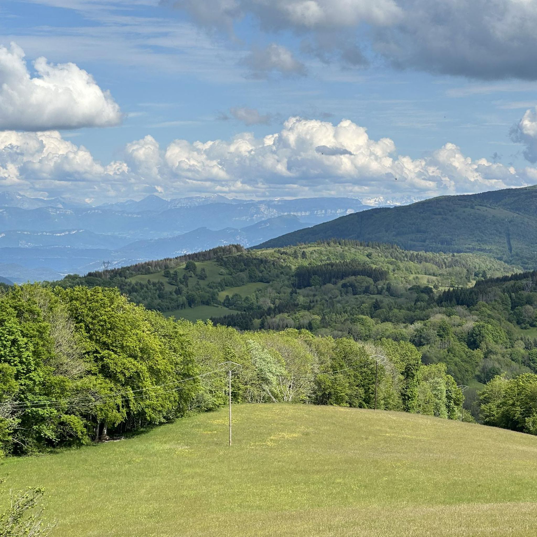
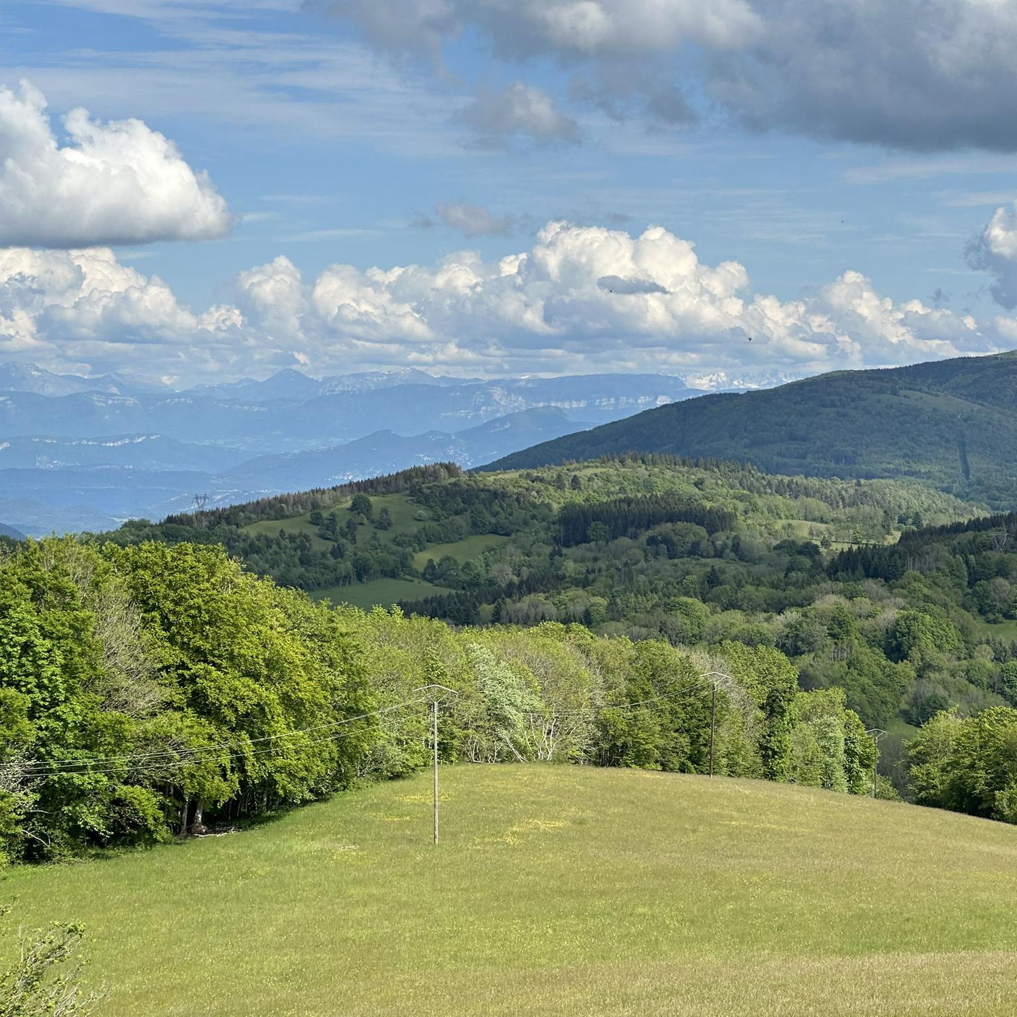
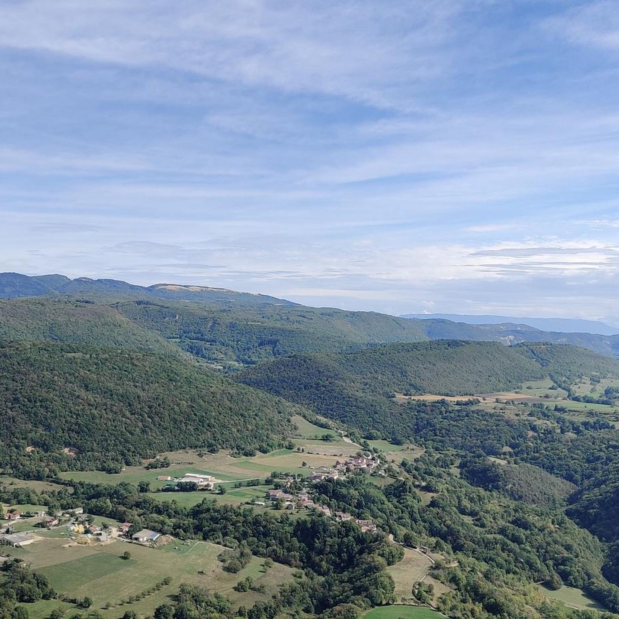
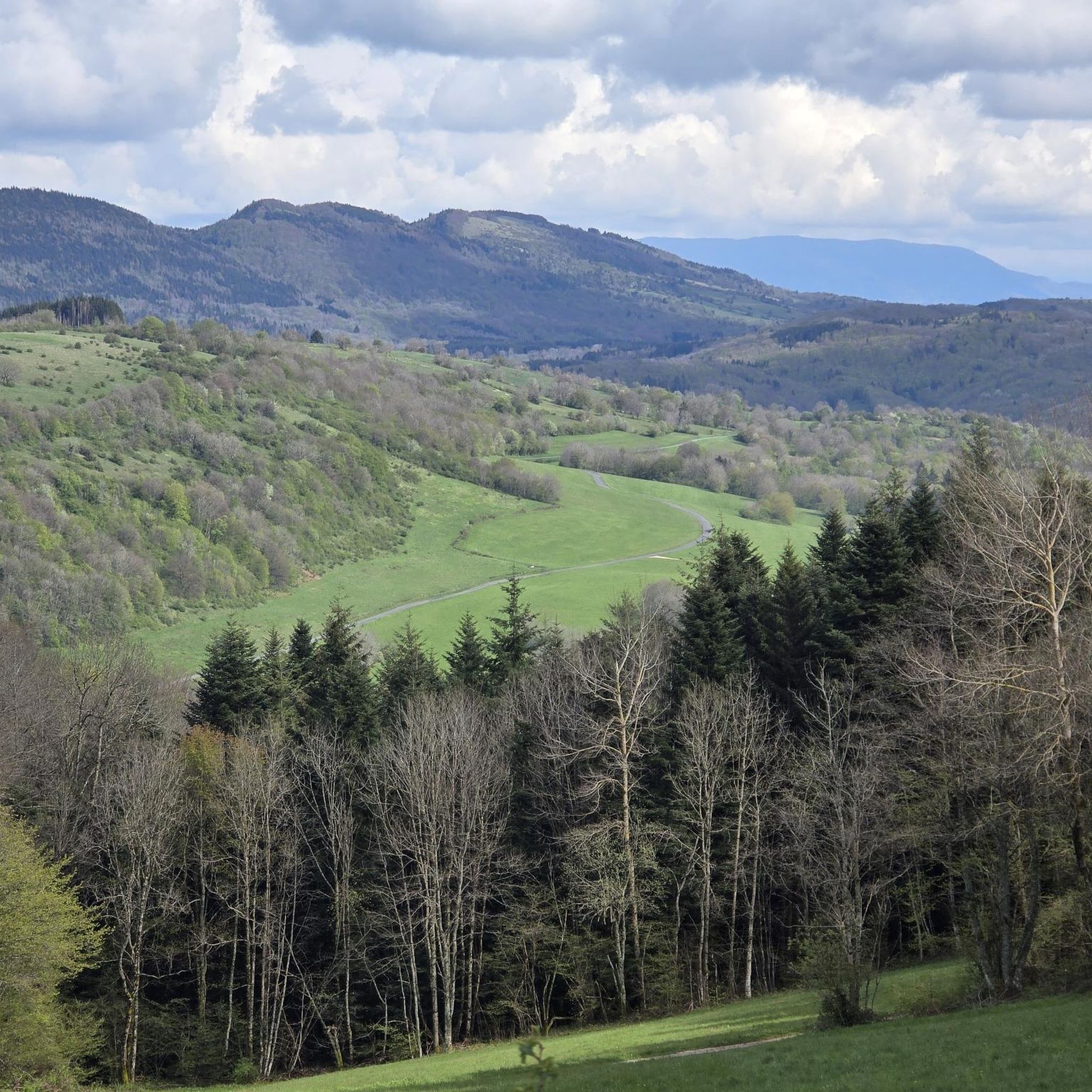
Tips from the Community

The area is located on the border between the departments of Isère and Ain, right next to the Pont d’Évieu. A specific ViaRhôna link allows you to reach the center of the commune of Les Avenières directly from this point via small country roads.
0
0

Very beautiful campsite, quiet, well-maintained, clean sanitary facilities, swimming pool. Open from mid-April to the end of September.
0
0

The Via Rhona in the direction of Belley. Magnificent cycle path
1
0

a very nice section for us cyclists
0
0

Very straight cycle path with a very beautiful view in the middle of nature
0
0

A beautiful section along the Rhone.
0
0
Beautiful historic bridge, also called the bridge of the "black virgin".
0
0
Frequently Asked Questions
How many gravel bike trails are featured in this guide for La Burbanche?
This guide highlights 5 challenging gravel bike routes around La Burbanche. The broader Ain department, which includes La Burbanche, offers an extensive network of over 3,000 kilometers of marked trails suitable for various cycling types, including gravel biking, providing many more options for exploration.
What kind of terrain can I expect on gravel bike trails around La Burbanche?
The gravel biking terrain around La Burbanche is quite varied. You'll encounter a mix of forest tracks, unpaved rural 'white roads,' and tranquil village roads. The Bugey region, where La Burbanche is situated, is known for its diverse ground, offering both less technical, flowing routes and more challenging segments with significant climbs and descents.
Are there any routes with notable elevation gain for experienced gravel bikers?
Yes, many routes in the area feature substantial elevation gain. For instance, the Saint-Martin-de-Bavel – Culoz loop from Valromey-sur-Séran is a difficult 33.6-mile (54.1 km) path with over 5,600 feet (1,700 meters) of elevation gain, offering a demanding experience through varied Bugey scenery.
What natural features or landmarks can I see along the gravel bike trails?
The region is rich in natural beauty. You can encounter impressive waterfalls like the Brive Waterfall, Cerveyrieu Waterfall, and Claire Fontaine Waterfall. Routes also offer views of unique limestone formations, sparkling lakes such as Lac d'Ambléon, and the wild Rhône river, sometimes passing through coniferous forests and plateaus.
Are there any circular gravel bike routes available?
Yes, several routes are designed as loops. For example, the Evosges Pass – Lesines Pond loop from Évosges is a 36.9-mile (59.4 km) trail that takes you through the scenic Evosges Pass area, providing a complete circular journey.
What is the best time of year for gravel biking in La Burbanche?
The diverse landscapes of La Burbanche, including mountainous terrain and plateaus, suggest that spring and autumn are generally ideal. These seasons offer pleasant temperatures and vibrant scenery. While some routes might be accessible in winter, higher elevations could be challenging due to snow or colder conditions. Summer can be warm, so early morning or late afternoon rides are often preferred.
What do other gravel bikers enjoy most about gravel biking in La Burbanche?
The gravel bike routes around La Burbanche are highly rated by the komoot community, with an average score of 4.7 stars. Riders often praise the varied terrain that allows for exploration off the beaten track, the stunning natural beauty including waterfalls and panoramic views, and the engaging experience offered by the mix of flowing paths and challenging climbs.
Are there any routes that offer views of vineyards or rivers?
Absolutely. The Montagnieu – View of the Bugey Vineyards loop from Serrières-de-Briord specifically offers picturesque views of the local vineyards. Additionally, the Rhône river is a prominent natural feature in the region, and some routes, like sections of the ViaRhôna, provide pleasant cycling along its banks.
Is there public transport access to La Burbanche for cyclists?
While specific public transport options directly to La Burbanche with bike access may vary, the Ain department is well-connected. For detailed information on public transport services that accommodate bicycles, it's best to consult local transport authorities or the Ain Tourism website: Ain Tourisme.
Where can I find parking for gravel biking trails in La Burbanche?
Parking availability can vary by trailhead. For routes starting from specific villages or points, such as the Groslée Bridge – Virignin footbridge loop from La Rivolière, you can often find designated parking areas within or near the starting point. It's advisable to check the specific route details on komoot for recommended parking locations.
Are there any family-friendly gravel bike routes in the area?
While many routes in this guide are rated as 'difficult' due to significant elevation, the broader Ain department offers a wide range of trails. For family-friendly options, look for routes described as less technical or with gentler elevation profiles, often found along tranquil village roads or dedicated cycling paths like sections of the ViaRhôna. Always check the route's difficulty and length before setting out with family.
Can I bring my dog on the gravel bike trails around La Burbanche?
Generally, dogs are welcome on many outdoor trails in France, especially if kept on a leash. However, specific regulations can vary depending on the area, particularly within protected natural sites or private lands. It's always best to check local signage or contact the regional tourism office for any specific restrictions on dog access for the particular trail you plan to ride.
Most popular routes around La Burbanche
Most popular attractions around La Burbanche

Get inspired with the komoot mobile app


Explore more
Browse the best Gravel rides in other regions.
