The best road cycling routes around La Burbanche
4.7
(82)
1,770
riders
57
rides
Road cycling routes around La Burbanche traverse a landscape characterized by a mix of plateaus, hills, and mountain passes. The region features varied terrain, including ascents to cols and routes through natural areas like peat bogs. Road cyclists can expect a diverse environment with both challenging climbs and more rolling sections.
Best road cycling routes around La Burbanche
- The most popular road cycling route is Plateau de Thézillieu – Delicious stage loop from Belley, a 16.5 miles (26.5 km)…
Last updated: July 4, 2026
4.5
(2)
77
riders
174km
07:46
1,420m
1,420m
Hard road ride. Very good fitness required. Some segments of this route may be unpaved and difficult to ride.
5.0
(1)
29
riders
28.2km
01:22
380m
380m
Moderate road ride. Good fitness required. Mostly well-paved surfaces and easy to ride.

Sign up for free
5.0
(1)
24
riders
79.4km
04:24
1,710m
1,710m
Hard road ride. Very good fitness required. Mostly well-paved surfaces and easy to ride.
19
riders
38.1km
02:05
800m
800m
Moderate road ride. Good fitness required. Mostly well-paved surfaces and easy to ride.
5.0
(5)
24
riders
65.7km
03:16
990m
980m
Hard road ride. Very good fitness required. Mostly well-paved surfaces and easy to ride.
Get access to more routes and recommendations from other explorers.
Sign up for free
Already have an account?
Our route recommendations are based on thousands of hikes, rides, and runs completed by other people on komoot.
Start today with a free account
Your next adventure awaits.
Login or Signup

Tips from the Community

Be careful when going through the tunnel, you don't necessarily see the other bikes, otherwise the scenery is very pleasant.
0
0

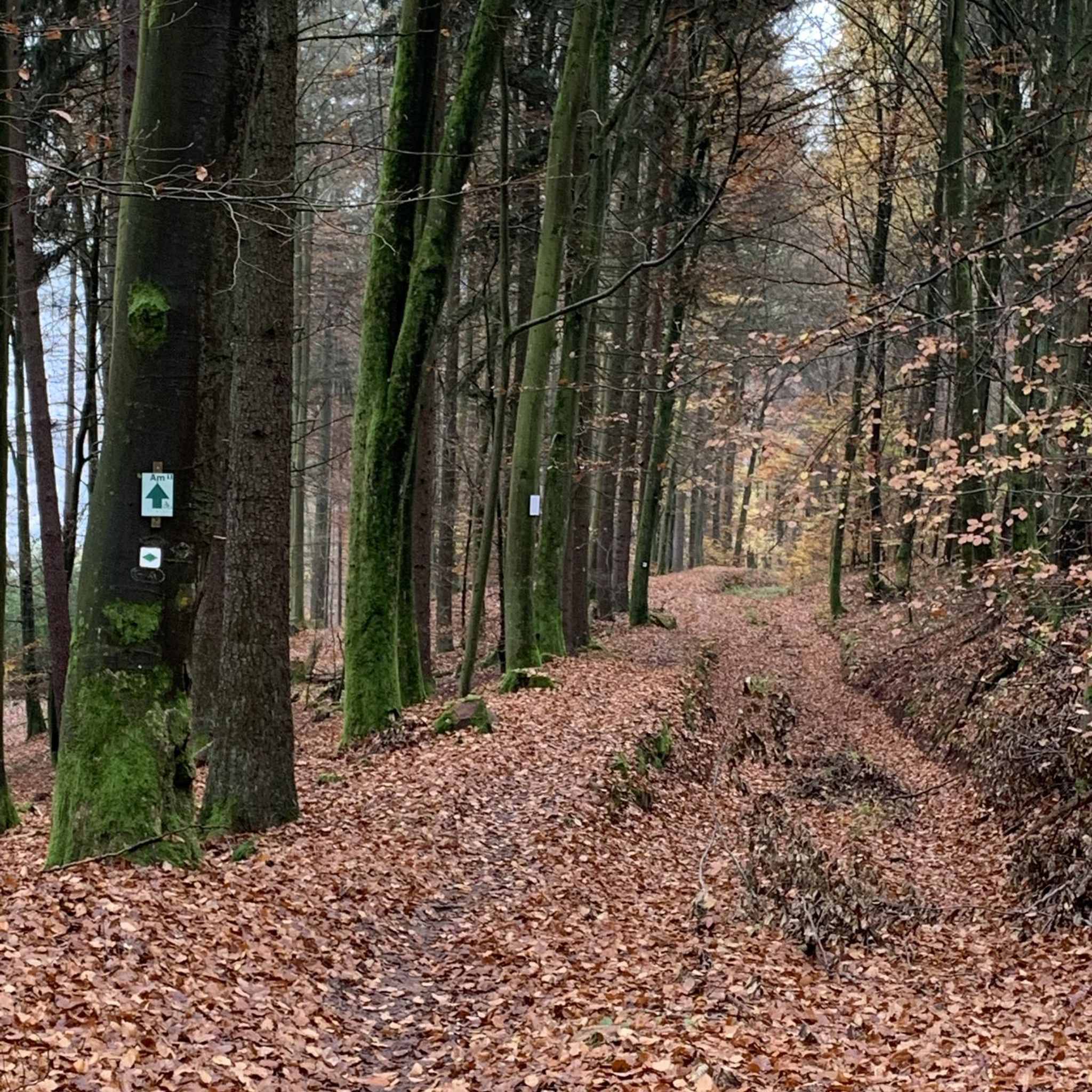
Beautiful and very wild without cars
0
0

Very cozy, quiet and romantic lodge, on the water and under the stars...
0
0

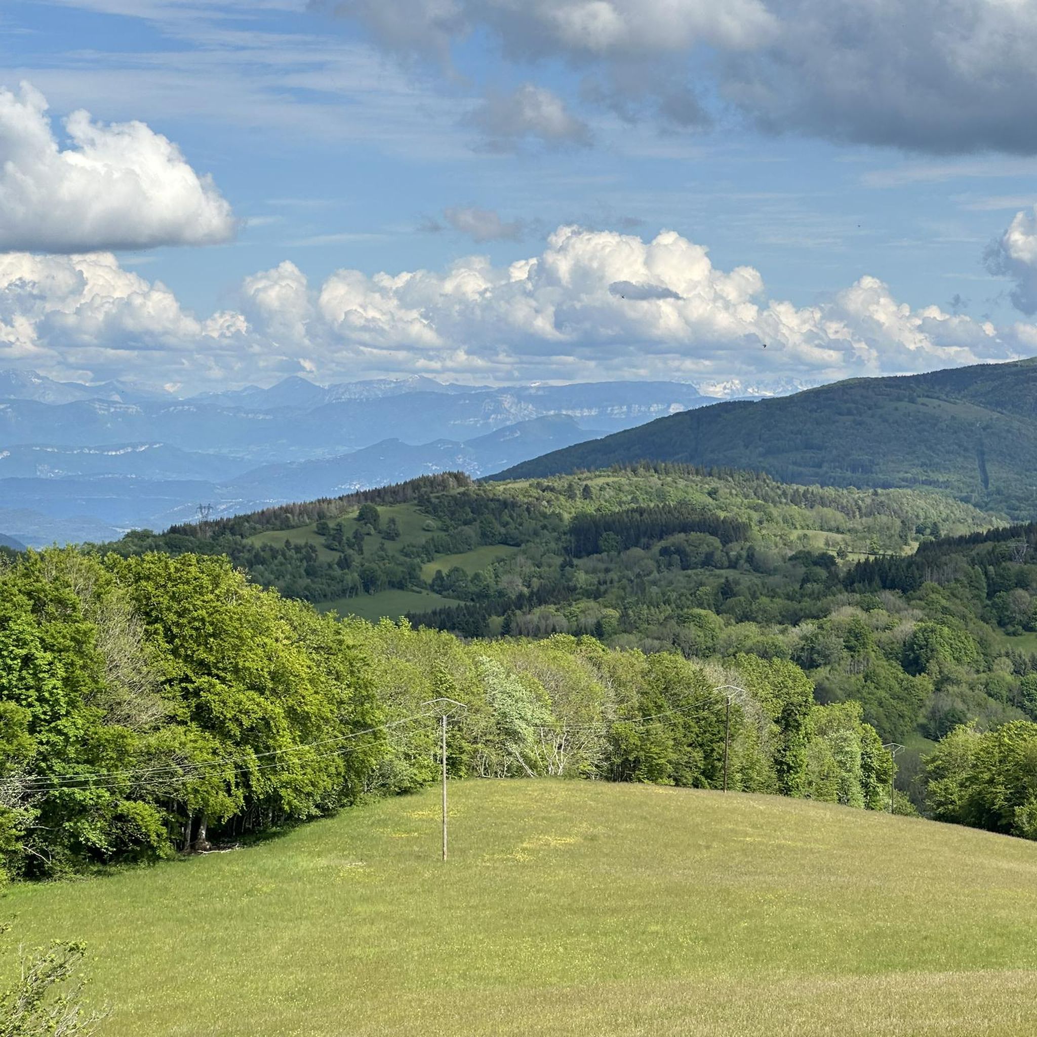
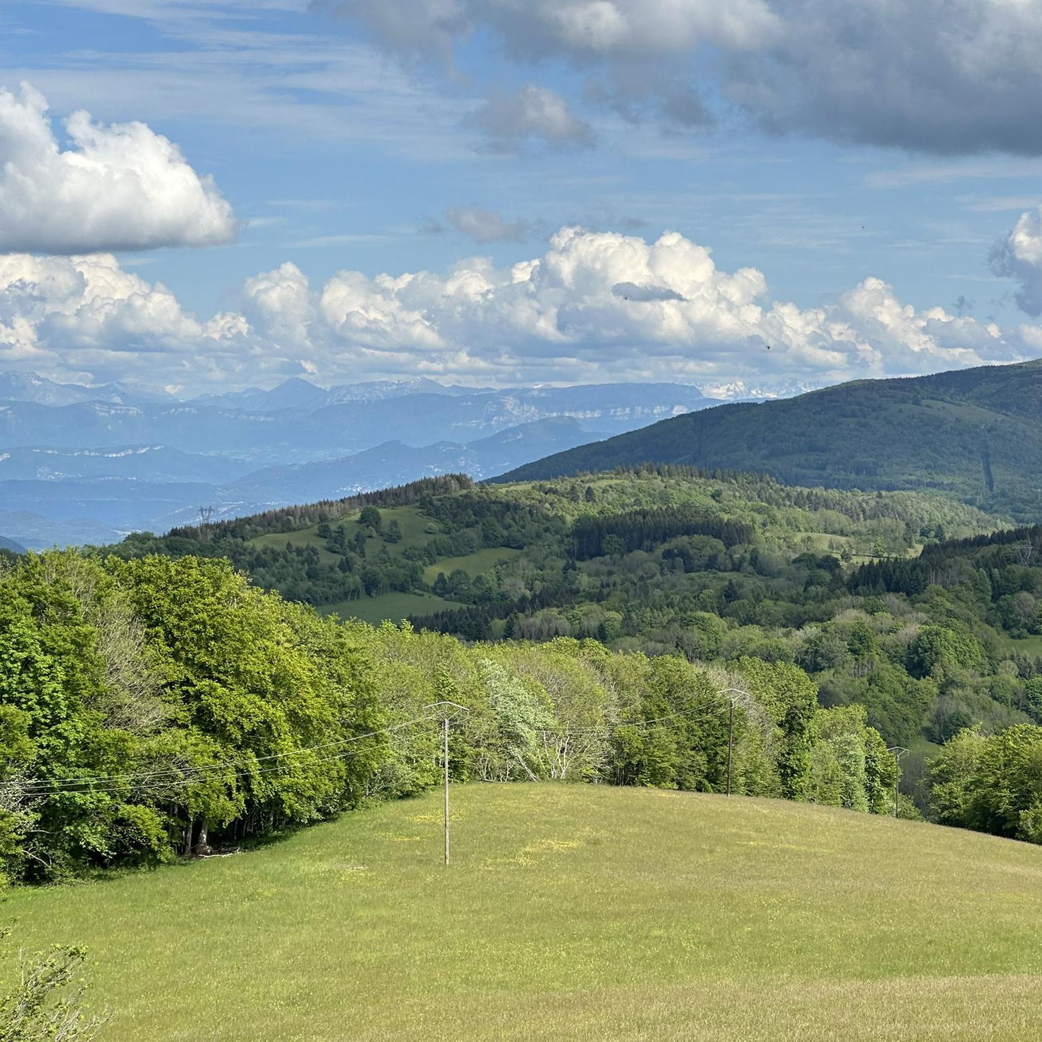
Superb road which opens onto an open plateau at an altitude of 800 m, an extremely peaceful passage!
0
0
A pretty peat bog that you can't miss when going up to Innimond and the Col du Petit Perthuis
1
0
All the information you need about the upcoming climb: length, average gradient, etc. A great initiative from the Ain Department.
1
0
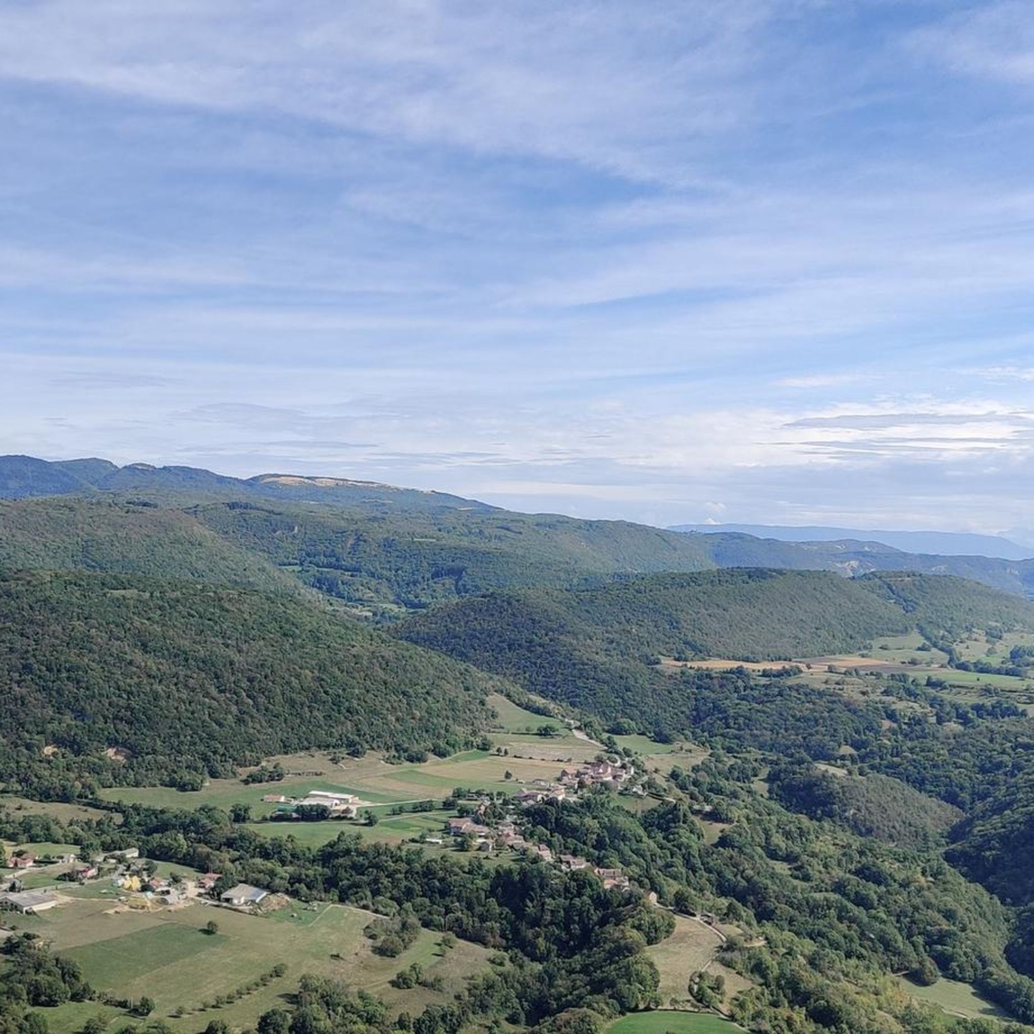
Belvedere with an impressive panorama that is worth the stop during the climb.
1
0

Great atmosphere in this charming little village.
1
0
Frequently Asked Questions
What kind of terrain can I expect on road cycling routes around La Burbanche?
The region offers a diverse landscape for road cyclists, characterized by a mix of plateaus, hills, and mountain passes. You'll encounter both challenging ascents to cols and more rolling sections, often leading through natural areas like peat bogs.
Are there road cycling routes suitable for beginners in La Burbanche?
Yes, La Burbanche offers a selection of routes suitable for beginners. There are 5 easy routes available, providing a gentler introduction to road cycling in the area. These routes typically feature less elevation gain and shorter distances.
What are some challenging road cycling routes for experienced riders?
For experienced road cyclists seeking a challenge, La Burbanche has 29 difficult routes. A notable option is the Col de Fay – Cerin Peat Bog loop from Innimond, which is 49.4 miles (79.4 km) long and includes significant elevation gain through mountain passes and unique peat bog landscapes.
Are there any circular road cycling routes in the La Burbanche area?
Yes, many of the road cycling routes around La Burbanche are designed as circular loops, allowing you to start and finish at the same point. For example, the Plateau de Thézillieu – Delicious stage loop from Belley is a moderate 16.5-mile loop.
What are the best times of year for road cycling in La Burbanche?
Given the presence of mountain passes and varied terrain, the best time for road cycling in La Burbanche is typically from late spring through early autumn (May to October). During these months, the weather is generally more stable, and the higher passes are clear of snow, offering optimal conditions for exploring the region's diverse routes.
What kind of views or natural attractions can I expect along the routes?
Road cycling routes in La Burbanche often feature scenic plateaus and offer panoramic views, especially from mountain passes like Col de Ballon. You might also encounter unique natural areas such as peat bogs. Nearby attractions include the stunning Brive Waterfall and the serene Lac d'Ambléon.
Are there any routes that pass by waterfalls?
Yes, the region around La Burbanche is known for its waterfalls. While specific routes aren't guaranteed to pass directly by them, you can find several beautiful waterfalls nearby, such as the Brive Waterfall and the Cerveyrieu Waterfall, which could be visited as detours or part of a longer exploration.
What do other road cyclists say about the routes in La Burbanche?
The road cycling routes in La Burbanche are highly regarded by the komoot community, with an average rating of 4.8 stars from over 60 reviews. Cyclists often praise the diverse terrain, from challenging cols to scenic plateaus, and the unique experience of riding through areas like the Cerin Peat Bog.
How many road cycling routes are available in La Burbanche?
There are over 50 road cycling routes available around La Burbanche, catering to various skill levels from easy to difficult. This extensive network provides ample options for exploring the region's unique landscape.
Are there any routes that include significant mountain passes?
Absolutely. La Burbanche is known for its challenging cols. The Col de Ballon (929 m) – Col du Ballon loop from Belley is a popular moderate route that includes significant climbs to a mountain pass, offering rewarding panoramic views. Another option is the Col de Portes (1010 m) – Portes Pass loop from Bénonces.
Can I find routes that are less crowded or considered 'hidden gems'?
While specific 'hidden gem' routes aren't explicitly listed, exploring some of the less-trafficked difficult routes, such as those venturing deeper into the peat bog areas or lesser-known cols, might offer a more secluded experience. The region's 29 difficult routes provide ample opportunity to discover quieter paths away from the most popular trails.
Are there any routes that pass through unique natural environments like peat bogs?
Yes, the region is characterized by distinctive peat bog areas. The Col de Fay – Cerin Peat Bog loop from Innimond and the Marchamp – Cerin Peat Bog loop from Lompnas are excellent examples of routes that lead through these unique landscapes, offering a different kind of scenic experience.
Most popular routes around La Burbanche
Most popular attractions around La Burbanche

Get inspired with the komoot mobile app


Explore more
Browse the best Road cycling routes in other regions.
