The best mountain hikes around Meyrieux-Trouet
4.8
(7)
39
hikers
4
hikes
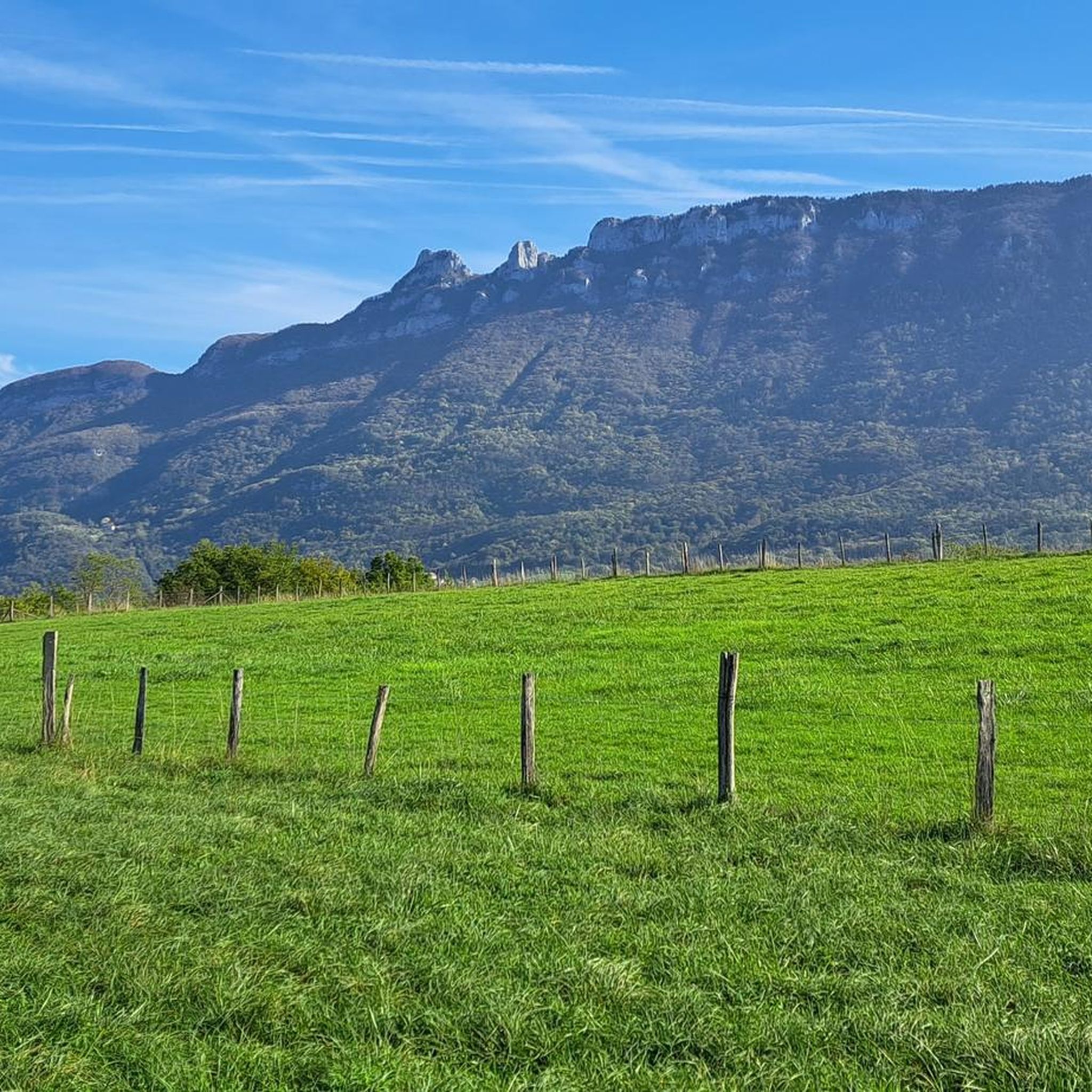
Mountaineering routes Meyrieux-Trouet are set within the Savoie department of the Auvergne-Rhône-Alpes region, offering a diverse and dramatic natural environment. The area is characterized by imposing limestone mountains like Mont Granier, known for its 900-meter-high north cliff, and the extensive Massif des Bauges Regional Natural Park. These ranges provide a variety of challenging ascents, technical sections with equipped cables, and ridge hikes with panoramic views.
Best mountaineering routes around Meyrieux-Trouet
- The most popular mountaineering route is Col du Chat (Chat…
Last updated: October 17, 2026
4.5
(4)
23
hikers
7.43km
04:00
660m
660m
Hard mountaineering route. Good fitness required. Sure-footedness, sturdy shoes and alpine experience required.
5.0
(1)
9
hikers
4.51km
01:31
180m
180m
Moderate mountaineering route. Great for any fitness level. Mostly accessible paths. Sure-footedness required.

5.0
(2)
5
hikers
8.30km
03:10
550m
550m
Hard mountaineering route. Good fitness required. Sure-footedness, sturdy shoes and alpine experience required.
Our route recommendations are based on thousands of hikes, rides, and runs completed by other people on komoot.
Start today with a free account
Your next adventure awaits.

Tips from the Community

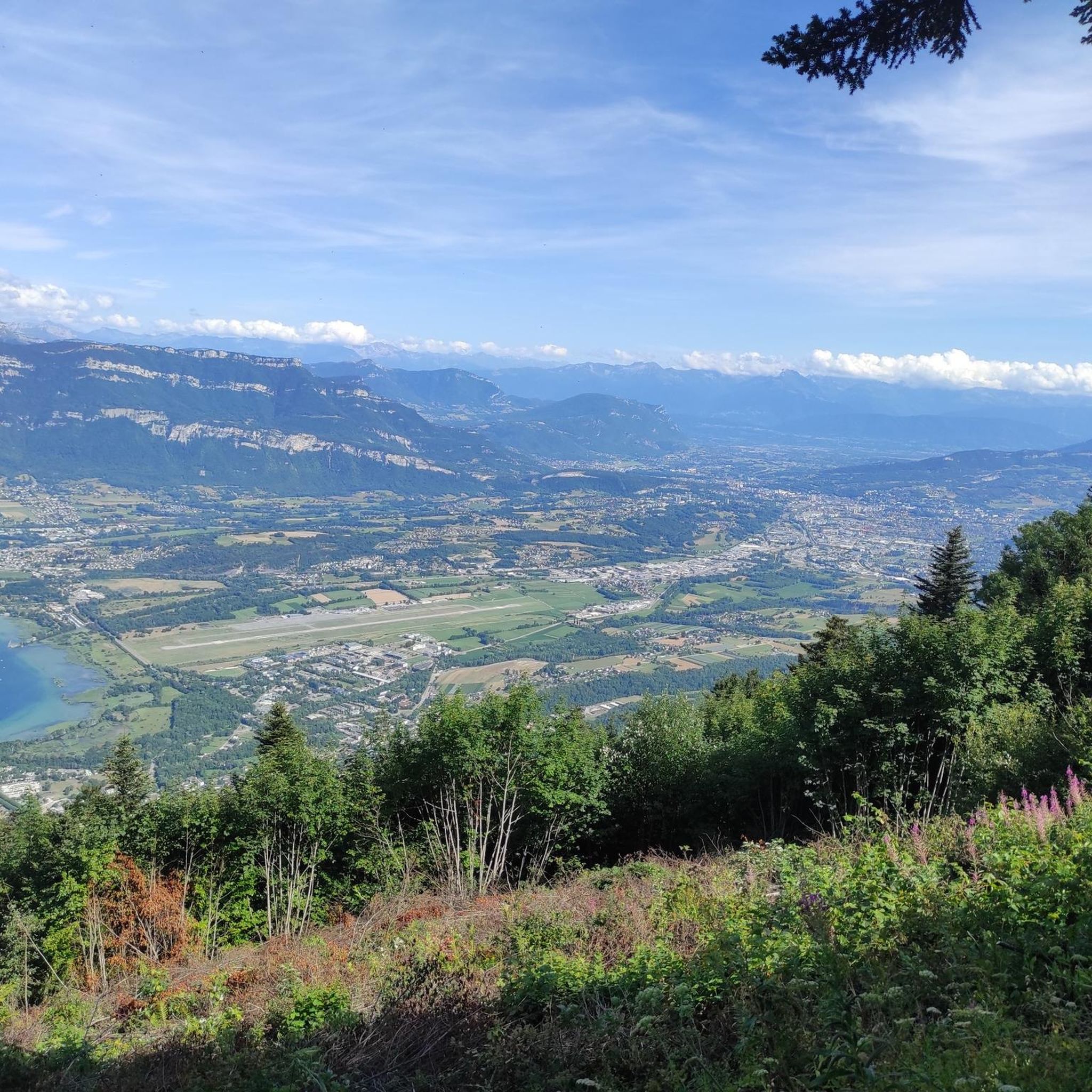
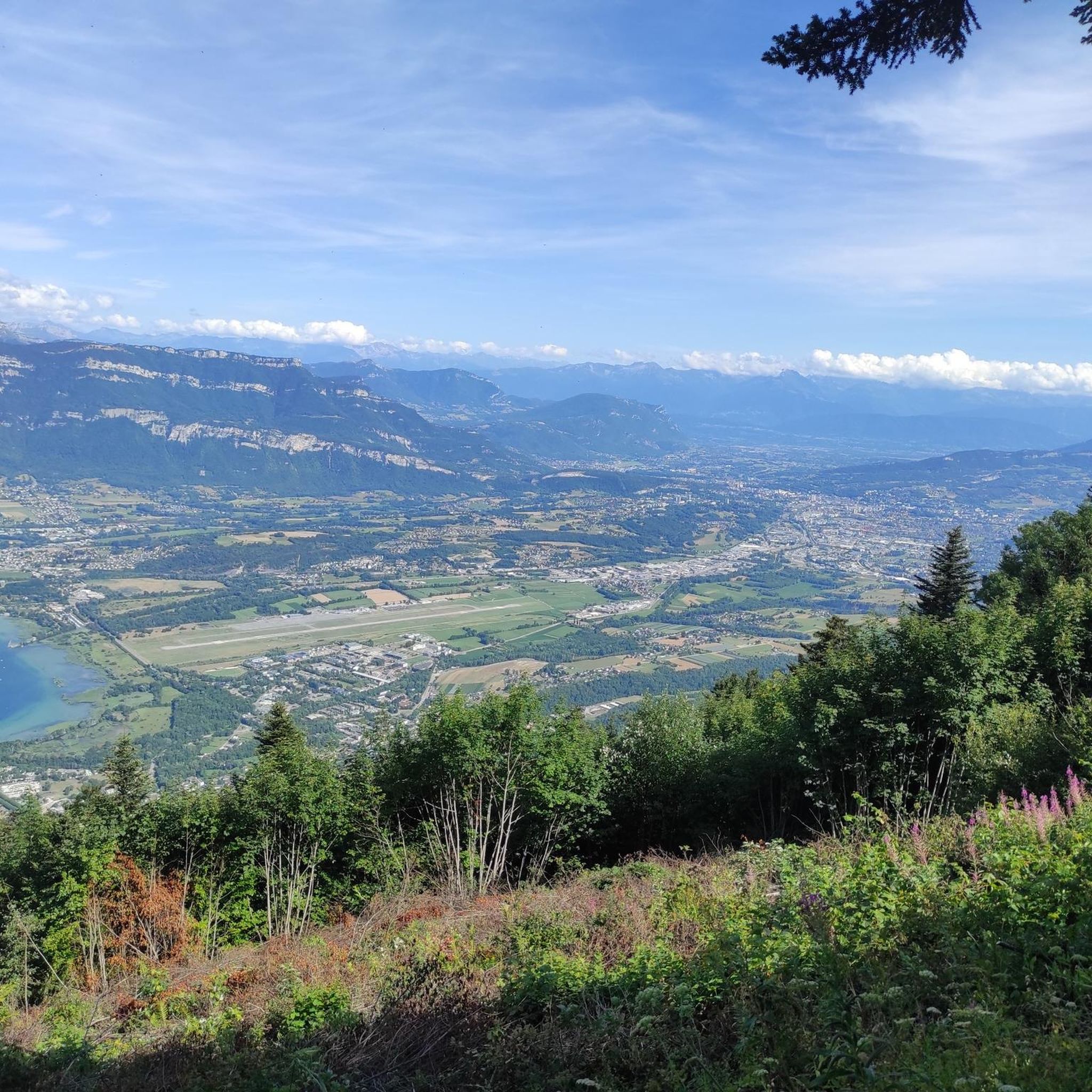
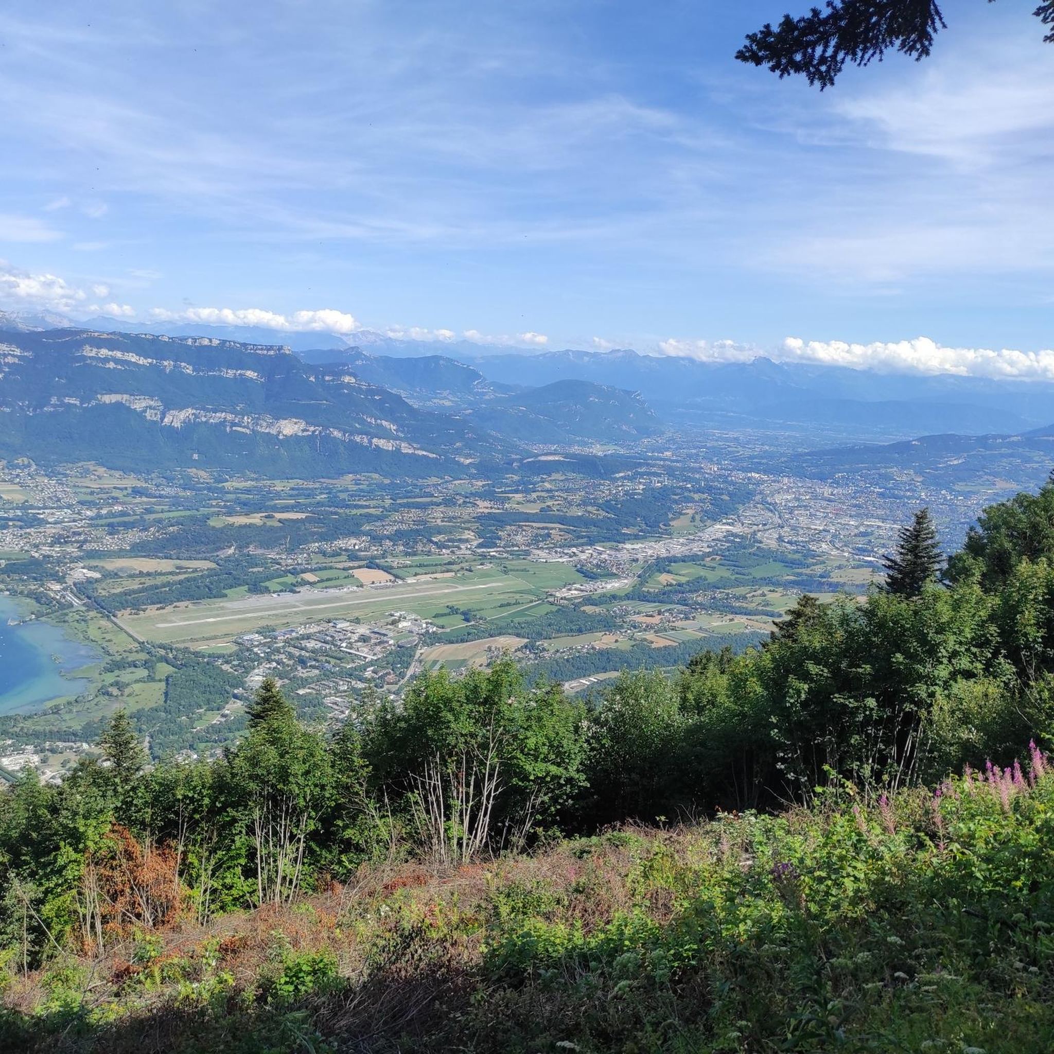
Panoramic view, over the Savoyard pre-Alps, the lake, the Dent du Chat, le Revard, Croix du Nivollet and in clear weather even as far as Mont Blanc! The route does not require any particular physical condition but requires vigilance to place your feet well in order to avoid rocks and roots on the path.
0
0


Beautiful view of the lake.
0
0
Beautiful view of the lake.
0
0

It's a must-see place with a magnificent view of Lake Bourget.
1
0

Aerial passage via ladders with gas, not recommended for beginners. Avoid summer weekends, as crowded conditions can cause traffic jams.
0
0

Very difficult summit, 10% average for 12km from Le Bourget du lac, no respite. The view at the top is worth it and in high season there is a restaurant bar for refueling.
3
0
Frequently Asked Questions
What kind of mountaineering routes can I expect around Meyrieux-Trouet?
The region around Meyrieux-Trouet offers a diverse range of mountaineering experiences, from moderate paths to difficult technical routes. You'll find challenging ascents, sections with equipped cables and bars, and ridge hikes that provide panoramic views. The landscape is characterized by imposing limestone mountains like Mont Granier and the extensive Massif des Bauges Regional Natural Park.
Are there any circular mountaineering routes available?
Yes, several routes are designed as loops. For a challenging experience, consider the Col du Chat (Chat Pass) – Cat's Tooth loop from Bourdeau, which is 7.4 km long and features significant elevation gain. Another option is the Le Molard Noir – Molard Noir Viewpoint loop from Mont du Chat, a moderate 4.5 km path offering varied terrain.
What are the typical durations for mountaineering routes in this area?
The duration of routes varies depending on their difficulty and length. For instance, the moderate Lamartine Cave – View of Lake Bourget loop from Bourdeau typically takes around 3 hours 22 minutes. More difficult routes, like the Col du Chat (638 m) – Roc du Cornillon viewpoint loop from Bourdeau, can take over 6 hours to complete due to their longer distance and greater elevation gain.
What are some notable natural features or viewpoints I can discover along the routes?
The area is rich in stunning natural features. Many routes offer views of Lake Bourget, France's largest lake. You can also find prominent peaks and viewpoints such as the Cat's Tooth, Signal du Mont du Chat, and the Mont du Chat lookout. The imposing Mont Granier, with its 900-meter-high north cliff, is a major landmark in the region.
What is the best time of year for mountaineering around Meyrieux-Trouet?
While specific conditions vary, the warmer months generally offer the most favorable conditions for mountaineering in the region. However, the diverse terrain, including areas within the Massif des Bauges and Chartreuse Mountains, means that routes can be enjoyed across different seasons, with appropriate gear and experience. Always check local weather and trail conditions before heading out.
Are there any beginner-friendly mountaineering routes in the area?
Yes, there are moderate options suitable for those with some experience looking to develop their mountaineering skills. The Le Molard Noir – Molard Noir Viewpoint loop from Mont du Chat is a moderate 4.5 km path that provides varied terrain without extreme difficulty. Another moderate option is the Lamartine Cave – View of Lake Bourget loop from Bourdeau.
What do other mountaineers say about the routes in Meyrieux-Trouet?
The mountaineering routes around Meyrieux-Trouet are highly regarded by the komoot community, with an average rating of 4.8 stars from 6 reviews. Over 30 mountaineers have explored this varied terrain, often praising the challenging ascents and the stunning panoramic views, especially from peaks like the Cat's Tooth and the Mont du Chat lookout.
Is it possible to see wildlife in the mountains around Meyrieux-Trouet?
Yes, the region is part of the Hauts de Chartreuse Nature Reserve, which promotes biodiversity. Keep an eye out for local wildlife such as ibexes and chamois, especially in the higher elevations. You might also spot diverse flora like rhododendrons and crocuses during the appropriate seasons.
Are there any specific permits required for mountaineering in the Meyrieux-Trouet area?
The provided information does not indicate specific permits are required for general mountaineering on the listed routes. However, it's always advisable to check with local authorities or park information centers, especially if you plan to venture into protected areas or undertake more technical climbs within the Massif des Bauges Regional Natural Park or the Chartreuse Mountains.
What are the geological characteristics of the mountains here?
The mountains around Meyrieux-Trouet are predominantly characterized by imposing limestone formations. Mont Granier, for example, is famous for its dramatic limestone cliffs, and the Massif des Bauges is recognized as a UNESCO Global Geopark due to its rich geological heritage and unique formations.
Are there any longer, more challenging mountaineering routes for experienced climbers?
For experienced mountaineers seeking a significant challenge, routes like the Col du Chat (638 m) – Roc du Cornillon viewpoint loop from Bourdeau offer a difficult 14.8 km journey with over 1000 meters of elevation gain. The Molard Noir Viewpoint – Le Molard Noir loop from Mont du Chat is another difficult option, covering 8.3 km with substantial ascent.
Can I find information about parking for the mountaineering trailheads?
While specific parking details for each trailhead are not provided here, routes often start from villages like Bourdeau or areas near Mont du Chat, where public parking is typically available. It's recommended to check the individual route descriptions on komoot or local tourist information for precise parking locations before your trip.
Most popular routes around Meyrieux-Trouet
Most popular attractions around Meyrieux-Trouet

Get inspired with the komoot mobile app


Explore more
Browse the best Mountain Hikes & Routes in other regions.
