The best walks and hikes around Meyrieux-Trouet
4.4
(1142)
14,176
hikers
322
hikes
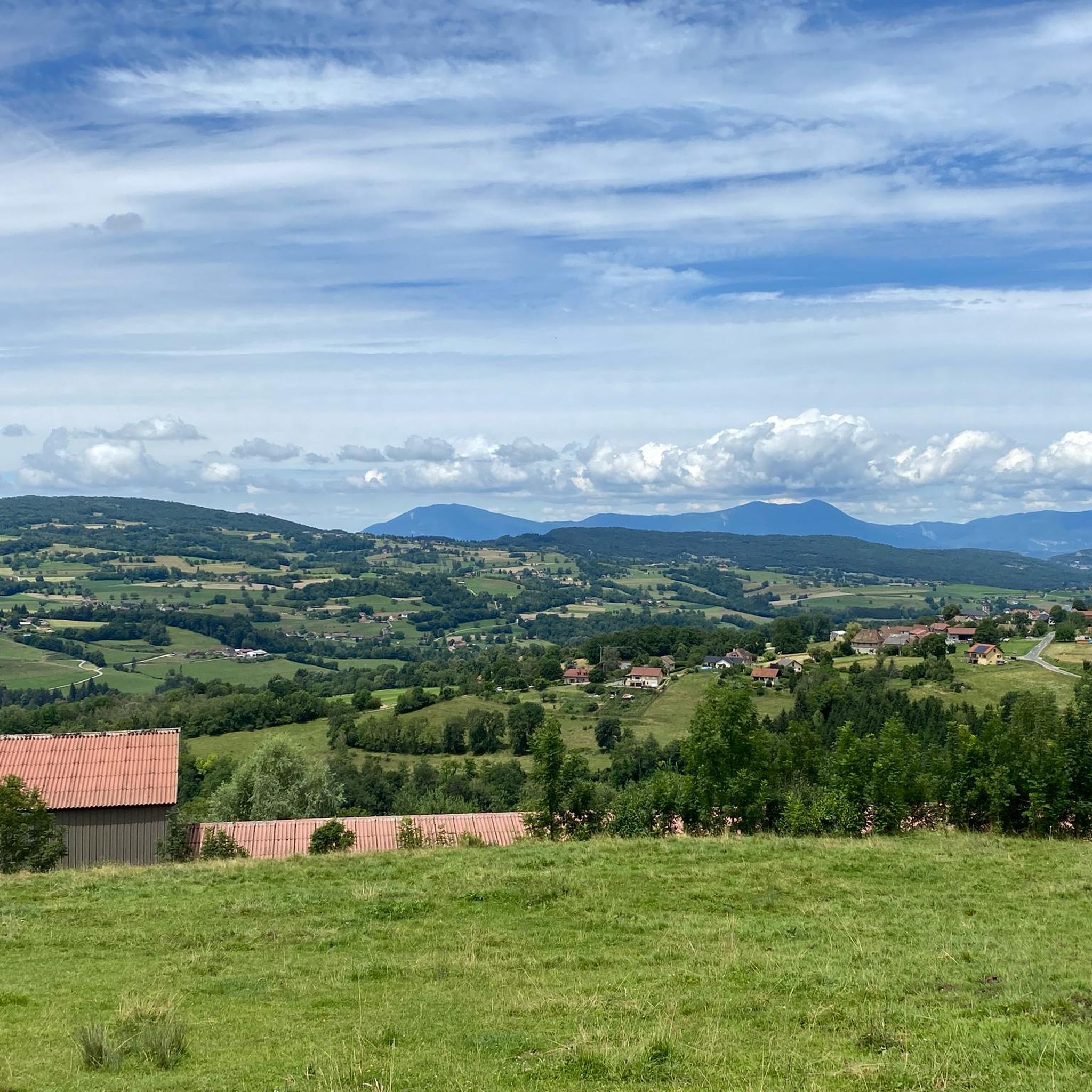
Hiking around Meyrieux-Trouet offers diverse terrain within the Savoie department, characterized by its varied topography ranging from 359m to 1480m. The region features significant natural landmarks such as the Col du Chat, providing views of Lake Bourget, and is situated near the Massif des Bauges and Chartreuse Regional Natural Parks. Hikers can explore mountainous areas, serene lakes, and the nearby Rhône River, which offers additional scenic routes.
Best hiking trails around Meyrieux-Trouet
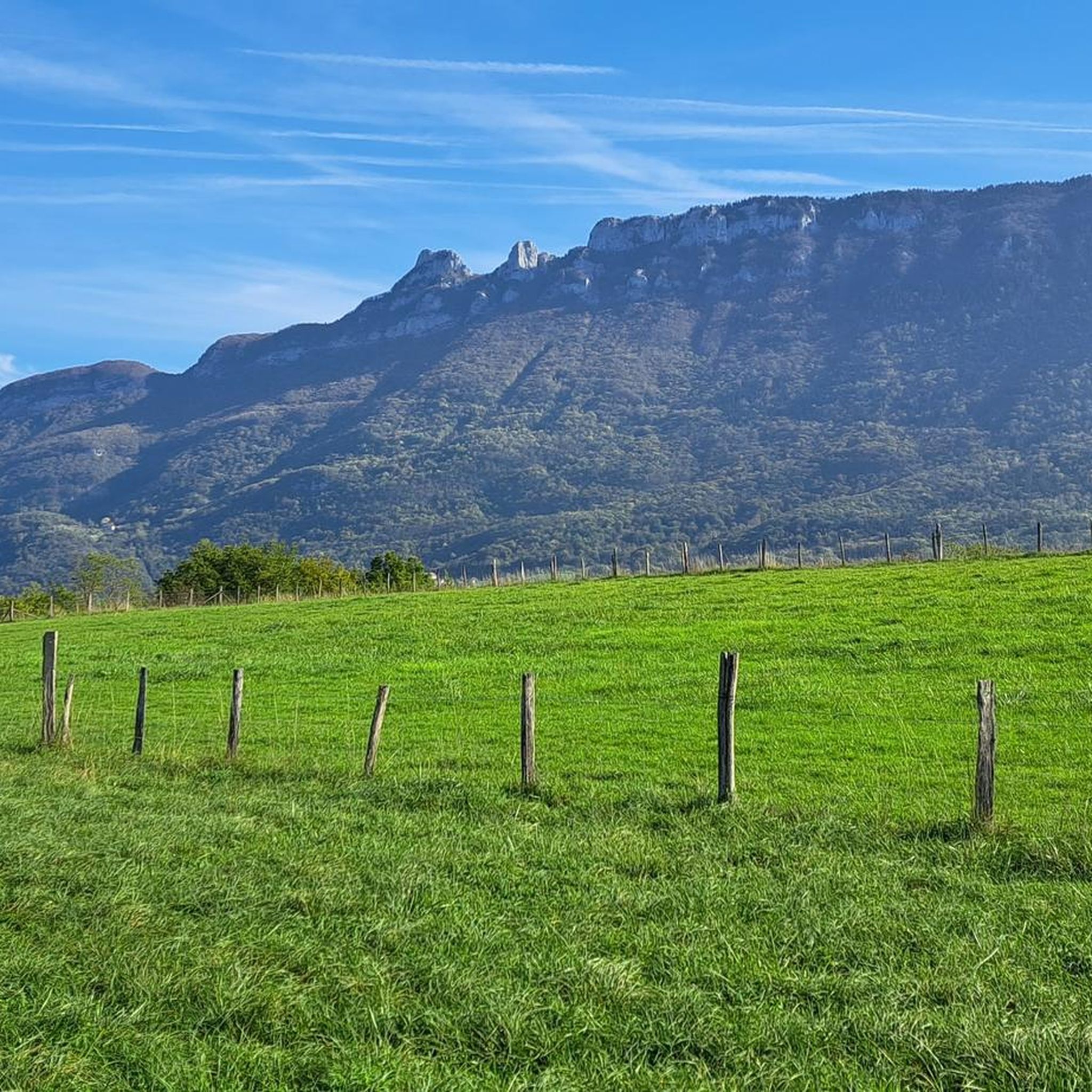
- The most popular hiking route is Cat's Tooth…
Last updated: June 28, 2026
4.8
(28)
532
hikers
12.2km
04:38
830m
830m
Hard hike. Good fitness required. Sure-footedness, sturdy shoes and alpine experience required.
4.6
(40)
656
hikers
4.61km
01:34
180m
180m
Hard hike. Great for any fitness level. Sure-footedness, sturdy shoes and alpine experience required.

Sign up for free
4.9
(7)
103
hikers
5.95km
02:10
370m
370m
Hard hike. Good fitness required. Sure-footedness, sturdy shoes and alpine experience required.
46
hikers
Moderate hike. Good fitness required. Mostly accessible paths. Sure-footedness required.
5.0
(2)
18
hikers
5.36km
01:49
280m
280m
Easy hike. Great for any fitness level. Easily-accessible paths. Suitable for all skill levels.
Get access to more routes and recommendations from other explorers.
Sign up for free
Already have an account?
Our route recommendations are based on thousands of hikes, rides, and runs completed by other people on komoot.
Start today with a free account
Your next adventure awaits.
Login or Signup


Tips from the Community

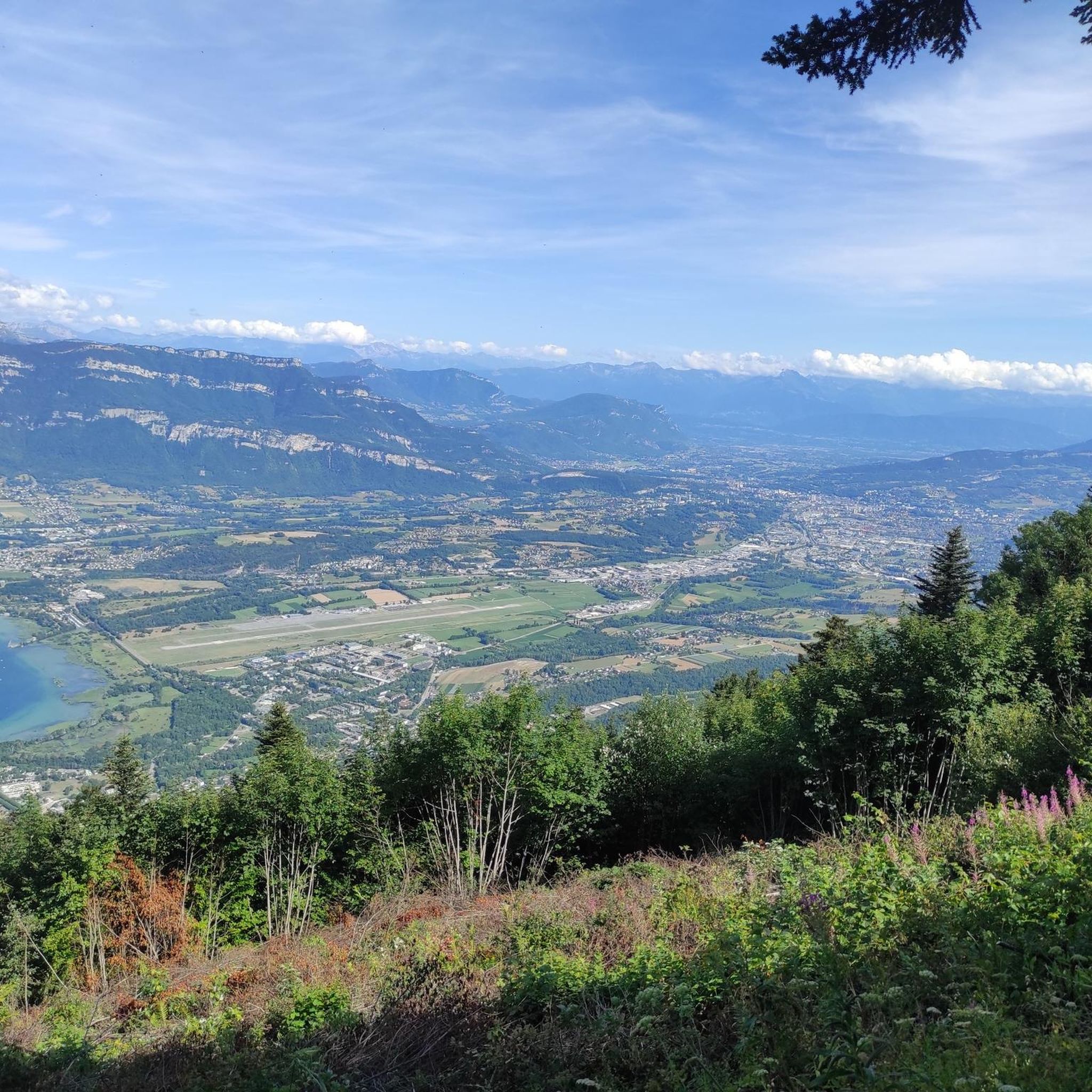
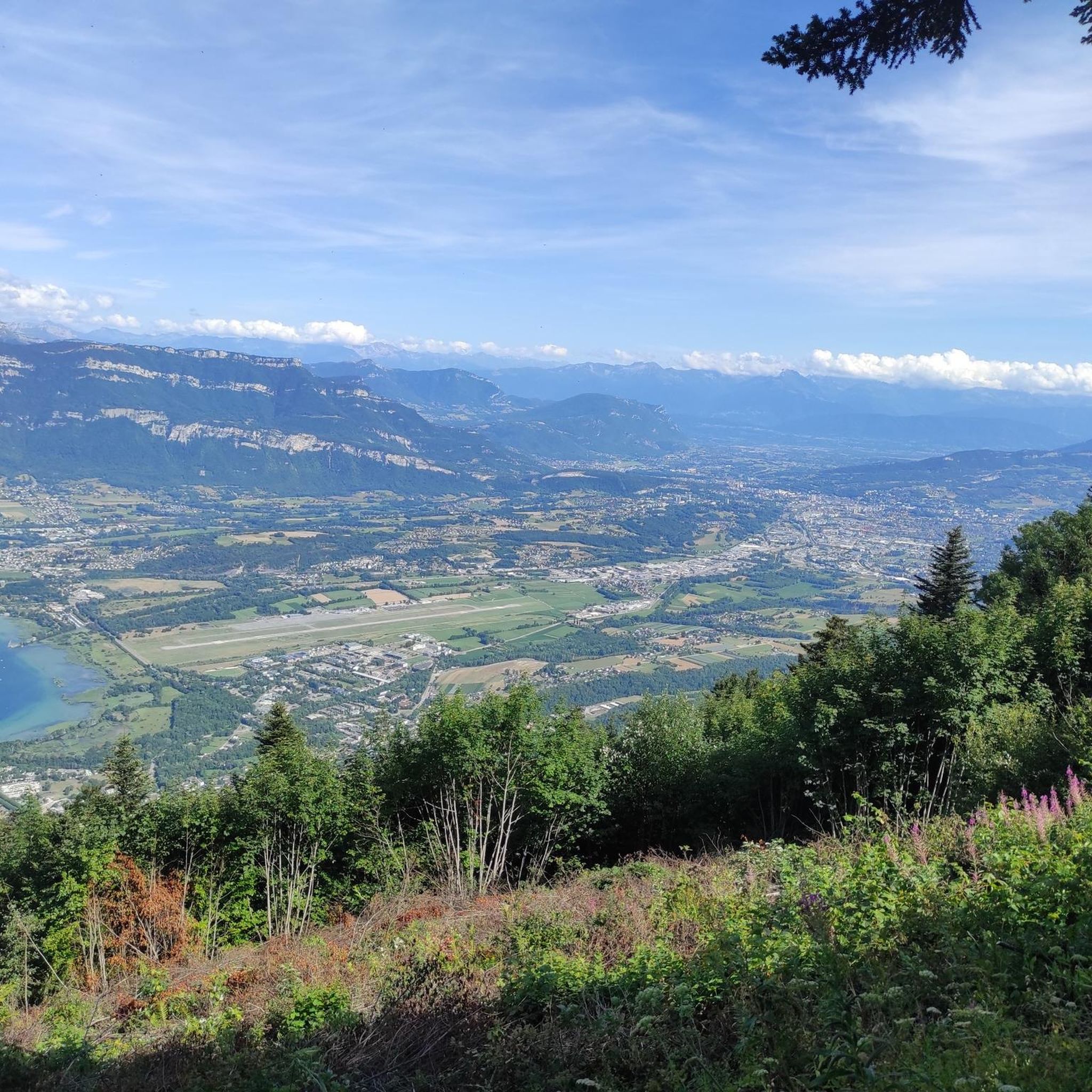
Panoramic view, over the Savoyard pre-Alps, the lake, the Dent du Chat, le Revard, Croix du Nivollet and in clear weather even as far as Mont Blanc! The route does not require any particular physical condition but requires vigilance to place your feet well in order to avoid rocks and roots on the path.
0
0


Beautiful view of the lake.
0
0

Aerial passage via ladders with gas, not recommended for beginners. Avoid summer weekends, as crowded conditions can cause traffic jams.
0
0

Great view of the towering Mont Blanc
0
0

To reach this place you have to climb steeply via ladders and hold on to ropes, but it is really worth it.
0
0
Frequently Asked Questions
How many hiking trails are available around Meyrieux-Trouet?
There are over 320 hiking routes in the Meyrieux-Trouet area, catering to various skill levels. You'll find approximately 130 easy trails, 140 moderate routes, and over 50 challenging hikes.
What kind of landscapes can I expect to see while hiking in Meyrieux-Trouet?
The region offers a diverse range of landscapes, from mountainous terrain with elevations up to 1480m to serene lakes and dramatic gorges. You can expect panoramic views of Lake Bourget, the largest natural lake in France, and explore areas near the Col du Chat and the Signal du Mont du Chat.
Are there any family-friendly hiking options in Meyrieux-Trouet?
Yes, with over 130 easy trails, there are many options suitable for families. These routes often feature gentler ascents and shorter distances, allowing for an enjoyable experience for all ages. Look for trails with less elevation gain, such as those along the Rhône River or around the lower parts of Lake Bourget.
Are there any circular walks available in the area?
Many of the trails around Meyrieux-Trouet are designed as circular routes, allowing you to start and end at the same point. An example is the moderate Mont du Chat lookout – Signal du Mont du Chat loop from Mont du Chat, which covers about 10 km.
What are some notable natural attractions or landmarks to explore on a hike?
Hikers can discover several impressive natural features. The Cat's Tooth (Dent du Chat) is a prominent peak offering expansive views, accessible via routes like the Cat's Tooth – Dent du Chat summit loop from Le Bourget-du-Lac. You can also visit the Mont du Chat lookout for stunning vistas. The nearby Lake Bourget and Lac d'Aiguebelette also offer beautiful lakeside walks and viewpoints.
What do other hikers say about the trails in Meyrieux-Trouet?
The hiking routes in Meyrieux-Trouet are highly regarded by the komoot community, with an average rating of 4.4 stars from over 1000 reviews. Hikers frequently praise the diverse terrain, the stunning panoramic viewpoints, and the well-maintained paths that lead through both mountainous areas and serene lakeside environments.
Are there any trails that offer views of Lake Bourget?
Absolutely. Many trails in the region provide spectacular views of Lake Bourget. The ascent to the Col du Chat, for instance, offers fantastic vistas of the lake below. You can also find specific viewpoints like the Lovely view of Lake Bourget highlight.
Can I find challenging hikes with significant elevation gain?
Yes, for experienced hikers seeking a challenge, there are over 50 difficult routes. Trails like the Le Molard Noir – Sentier des cimes Mont du Chat loop from Le Bourget-du-Lac involve nearly 1000 meters of ascent over 15 km, offering a strenuous workout and rewarding views.
Are there any trails that feature unique elements like ladders?
Some of the more adventurous trails in the mountainous areas around Meyrieux-Trouet do feature unique elements such as ladders. While these can add an exciting dimension to your hike, alternative access points are often available for those who prefer to avoid them.
What is the typical duration for a moderate hike in this region?
The duration of a moderate hike can vary depending on the specific route and your pace. For example, the Mont du Chat lookout – Signal du Mont du Chat loop from Mont du Chat, which is a moderate 10 km trail, typically takes around 3 hours and 10 minutes to complete.
Are there any opportunities for wild swimming near the hiking trails?
The proximity to Lake Bourget and Lac d'Aiguebelette provides opportunities for swimming. You can find designated spots like Cap des Séselets Beach or Aix-les-Bains Beach, which are accessible after your hike.
What is the best time of year to go hiking in Meyrieux-Trouet?
The region is suitable for hiking across multiple seasons. Spring and autumn offer pleasant temperatures and vibrant scenery, while summer is ideal for combining hikes with lake activities. Even winter can be an option for some trails, though higher altitude routes may require snowshoes or specific winter gear.
Most popular routes around Meyrieux-Trouet
Most popular attractions around Meyrieux-Trouet

Get inspired with the komoot mobile app


Explore more
Browse the best Hikes in other regions.
