The best gravel rides in Monte Il Cerchio
5.0
(6)
99
riders
5
rides
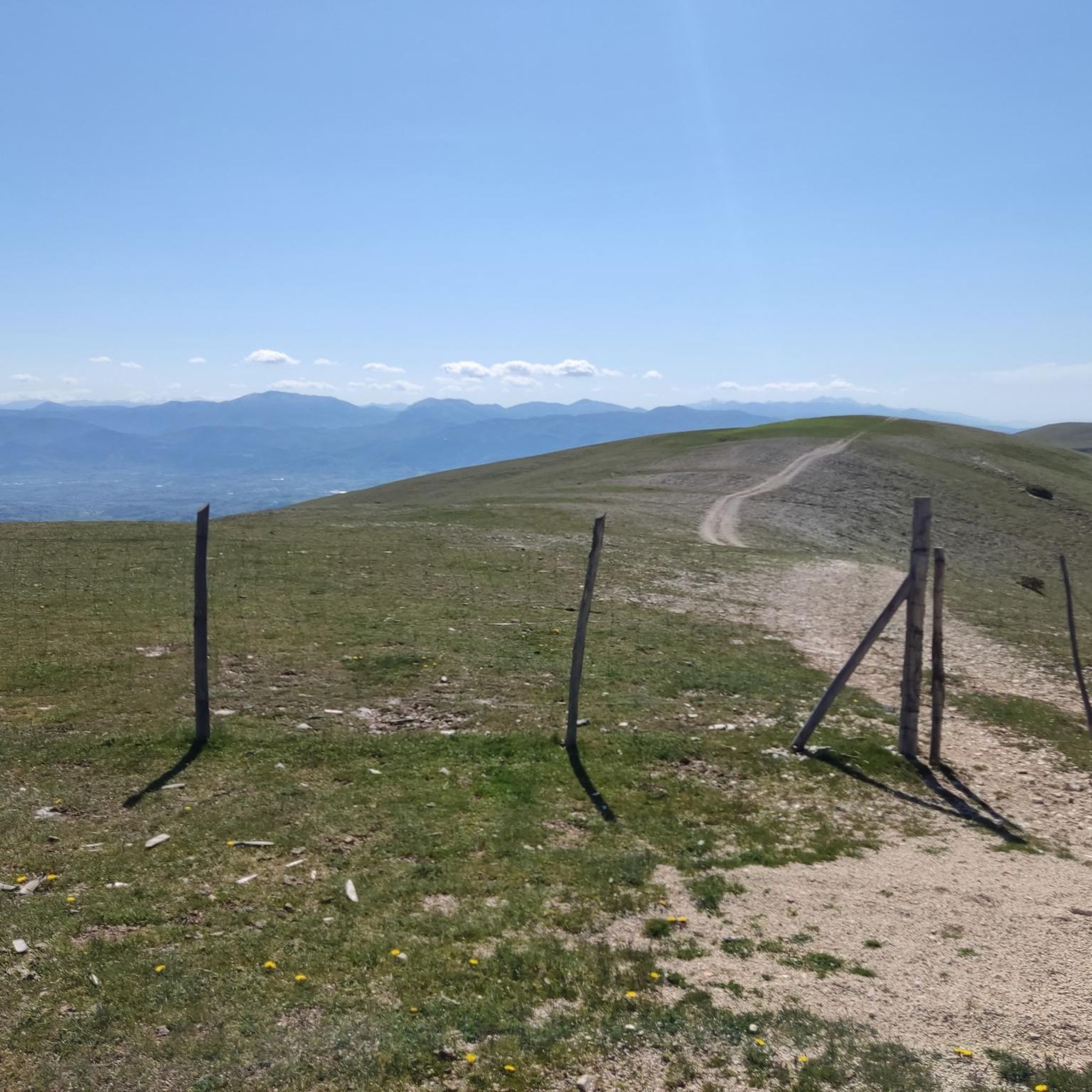
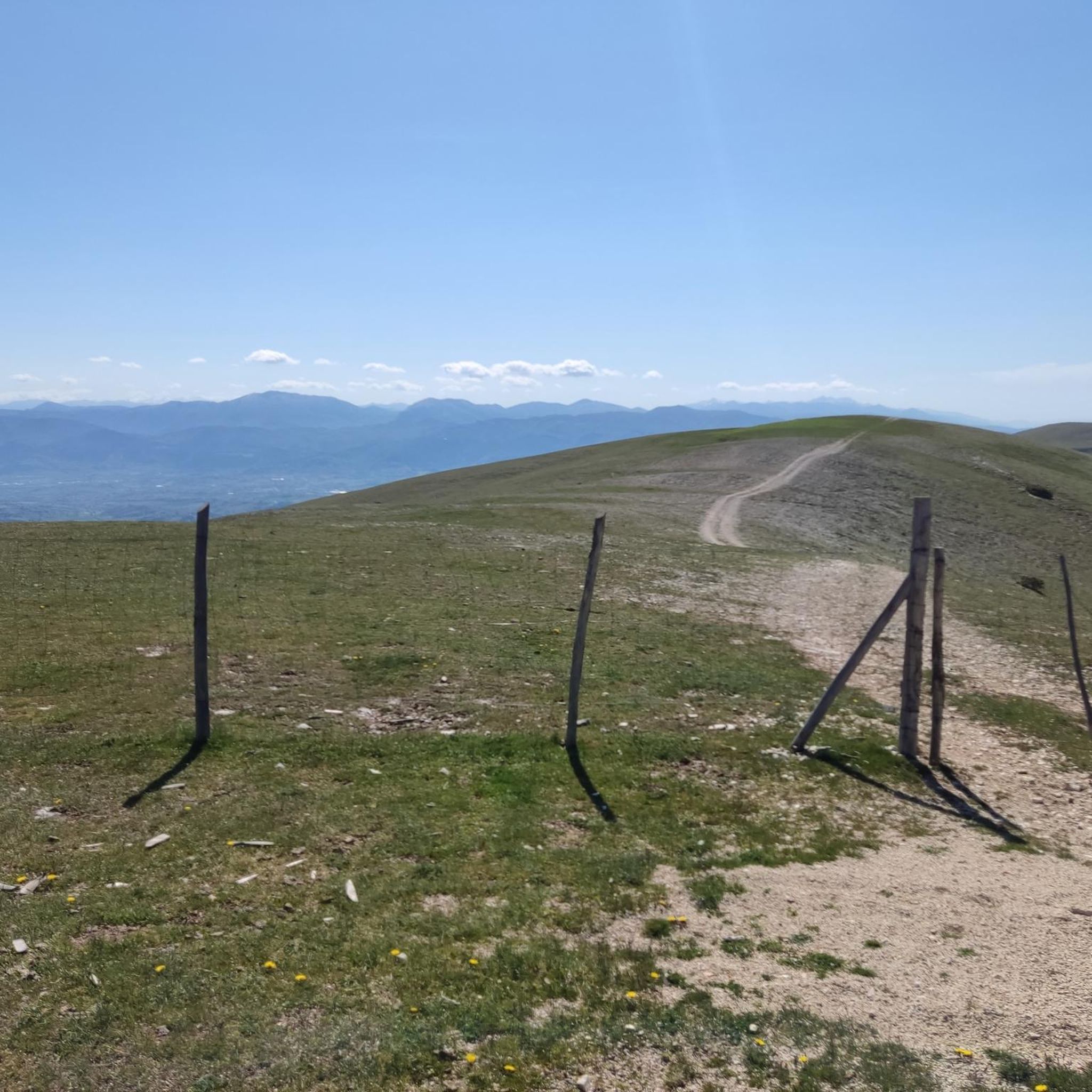
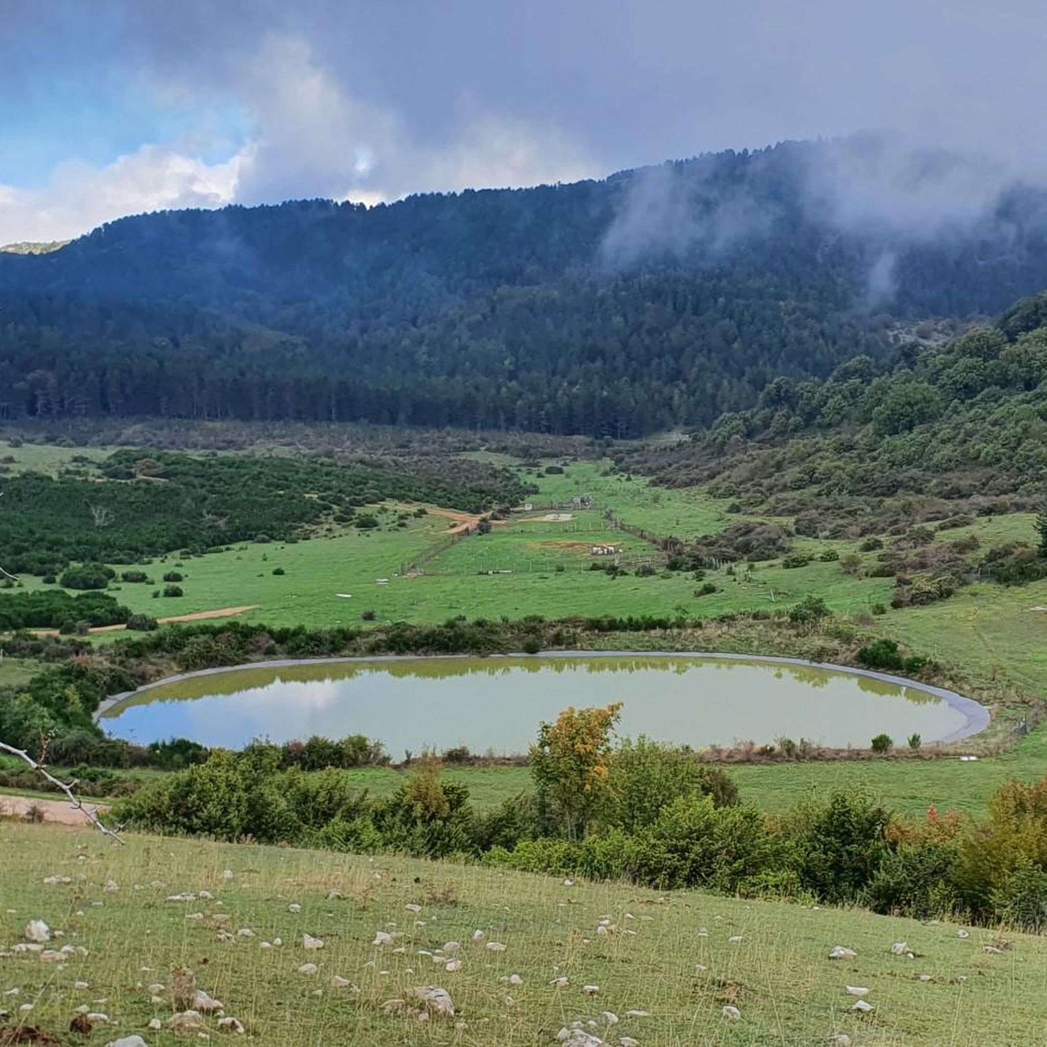
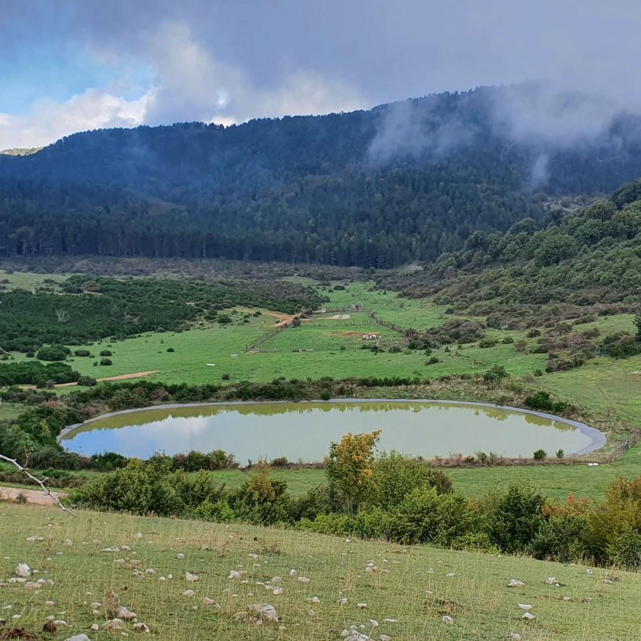
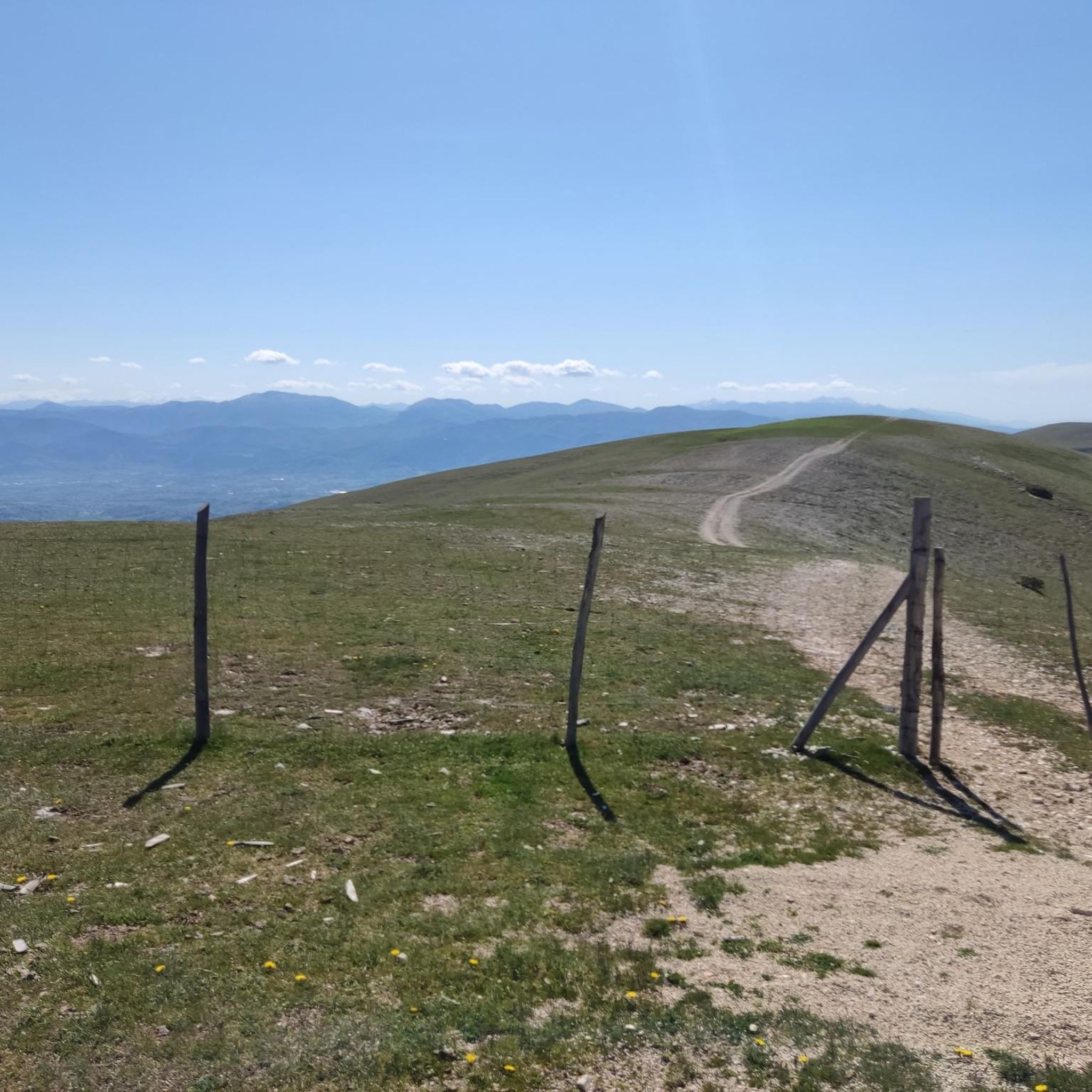
Gravel biking in Monte Il Cerchio, located in the Monti Martani region of Umbria, Italy, features diverse terrain suitable for cycling. The landscape is characterized by extensive juniper thickets, Mediterranean scrub, and secondary summit prairies. Riders will encounter gravel stretches, hilly farmland, and forests with ancient oak trees, providing varied natural features throughout the routes.
Best gravel bike trails in Monte Il Cerchio
- The most popular gravel bike trail is Casteltodino Historic Village – Acquasparta loop from Acquasparta, a…
Last updated: July 10, 2026
5.0
(2)
17
riders
55.8km
03:53
1,340m
1,340m
Hard gravel ride. Very good fitness required. Mostly paved surfaces. Suitable for all skill levels.
3
riders
28.5km
01:53
560m
560m
Hard gravel ride. Very good fitness required. Mostly paved surfaces. Suitable for all skill levels.

Sign up for free
4
riders
Hard gravel ride. Very good fitness required. Mostly paved surfaces. Suitable for all skill levels.
5.0
(2)
28
riders
Hard gravel ride. Very good fitness required. Mostly paved surfaces. Suitable for all skill levels.
5.0
(1)
20
riders
62.4km
04:34
1,400m
1,400m
Hard gravel ride. Very good fitness required. Mostly paved surfaces. Suitable for all skill levels.
Our route recommendations are based on thousands of hikes, rides, and runs completed by other people on komoot.
Start today with a free account
Your next adventure awaits.
Login or Signup
Tips from the Community

The Bailey Bridge, a structure originally built as a military bridge, has now become a tangible symbol of connection and rebirth. Crossing it means moving from recent history to the area's most ancient history, rediscovering the value of connections—not only physical, but also cultural and social.
0
0

A hamlet of the Municipality of Todi, famous above all for the Sanctuary of Merciful Love, it also has the particularity of having visible medieval walls
1
0
Casteltodino is a small hamlet between Sangemini and Todi. The fountain is beautiful, from which you can take fresh water even during the hot season
1
0
Acquasparta is a charming town on the road that connects Terni and Sangemini to Todi. Famous in the Middle Ages for its cultural vivacity, it has some important monuments among which Palazzo Cesi stands out
1
0


Bridge built after the Second World War to connect the two banks of the Tiber... renovated in 2025 now part of the Todi landscape circuit
0
0

Beautiful ride, between viaducts with breathtaking views and truly suggestive tunnels... to do at least once... also suitable for small bikers
0
0

Frequently Asked Questions
How many gravel bike trails are available in Monte Il Cerchio?
Monte Il Cerchio, specifically in the Monti Martani region of Umbria, offers a network of at least 4 distinct gravel bike trails. These routes are highly rated by the komoot community for their varied terrain and scenic beauty.
What kind of terrain can I expect on gravel bike trails in Monte Il Cerchio?
The terrain in Monte Il Cerchio is diverse, featuring extensive juniper thickets, Mediterranean scrub, and secondary summit prairies. You'll encounter dedicated gravel stretches, hilly farmland, and forested sections with ancient oak trees. The routes offer a blend of natural beauty and challenging surfaces.
Are the gravel bike trails in Monte Il Cerchio suitable for beginners?
While the region offers options for different ability levels, many routes in Monte Il Cerchio present a significant challenge. All currently listed komoot gravel tours in this area are rated as 'difficult', indicating they are better suited for experienced gravel bikers. For example, the Casteltodino Historic Village – Acquasparta loop from Acquasparta is a difficult 28.5 km trail.
What are some notable landmarks or natural features to see along the gravel routes?
In the Monti Martani region, you can explore areas of significant landscape, naturalistic, and historical value. Keep an eye out for the ancient fortified settlement, known as a 'Castelliere', with its distinct circular stone structure at the summit of Monte Il Cerchio. The routes also pass through areas with extensive juniper thickets, Mediterranean scrub, and ancient oak trees. For more on the Castelliere, you can visit visitmassamartana.it.
Are there any loop trails for gravel biking in Monte Il Cerchio?
Yes, several gravel bike routes in Monte Il Cerchio are designed as loops. Examples include the View of Macerino – Portaria Village loop from Firenzuola, which is a challenging 55.8 km path, and the Montecastrilli Historic Center – Montecastrilli loop from San Faustino-Casigliano, a 45.4 km trail.
What is the best time of year for gravel biking in Monte Il Cerchio?
The Monti Martani region, where Monte Il Cerchio is located, experiences beautiful blooms in its secondary summit prairies during the spring. This suggests spring and early summer could be ideal for enjoying the natural flora. Autumn also typically offers pleasant temperatures and vibrant foliage. Summers can be hot, while winters might bring colder, potentially wet conditions.
What do other gravel bikers enjoy most about Monte Il Cerchio?
The area is highly rated by the komoot community, with an average score of 5.0 stars from over 6 reviews. Reviewers often praise the diverse natural environments, the expansive views across the Umbrian landscape, and the blend of historical villages with challenging gravel sections.
Are there family-friendly gravel biking options in Monte Il Cerchio?
Given that most routes in Monte Il Cerchio are rated as 'difficult' and involve significant elevation changes, they may not be ideal for young children or families seeking very easy, flat rides. These trails are generally better suited for experienced riders. However, the broader Monti Martani area might offer easier sections, so it's best to check individual route details carefully.
Can I bring my dog on the gravel bike trails?
While specific regulations for dogs on these particular gravel trails are not detailed, generally in Italy, dogs are often permitted on trails if kept on a leash. It's always advisable to check local signage or park regulations upon arrival to ensure compliance and respect for wildlife and other trail users.
Are there any cafes or places to stop for refreshments along the routes?
The provided route descriptions do not explicitly mention cafes directly on the trails in the Umbrian Monte Il Cerchio. However, the routes often pass through or near historic villages like Casteltodino, Acquasparta, Firenzuola, and Montecastrilli, where you would typically find local amenities, including cafes and restaurants. Planning your stops in these villages is recommended.
How long are the gravel bike trails in Monte Il Cerchio?
The gravel bike trails in Monte Il Cerchio vary in length. For example, the Casteltodino Historic Village – Acquasparta loop from Acquasparta is 28.5 km (17.7 miles), while the View of Macerino – Portaria Village loop from Firenzuola is 55.8 km (34.6 miles). Another option, the Caprareccia Railway Bridge – Caprareccia Station loop from Baiano di Spoleto, covers 44.4 km.
What are the elevation gains like on these gravel routes?
The gravel routes in Monte Il Cerchio involve significant elevation gains, contributing to their 'difficult' rating. For instance, the View of Macerino – Portaria Village loop from Firenzuola has an elevation gain of over 1300 meters, and the Montecastrilli Historic Center – Montecastrilli loop from San Faustino-Casigliano features nearly 900 meters of ascent.
Most popular routes in Monte Il Cerchio

Get inspired with the komoot mobile app


Explore more
Browse the best Gravel rides in other regions.
