The best running trails in Monte Il Cerchio
53
runners
10
runs
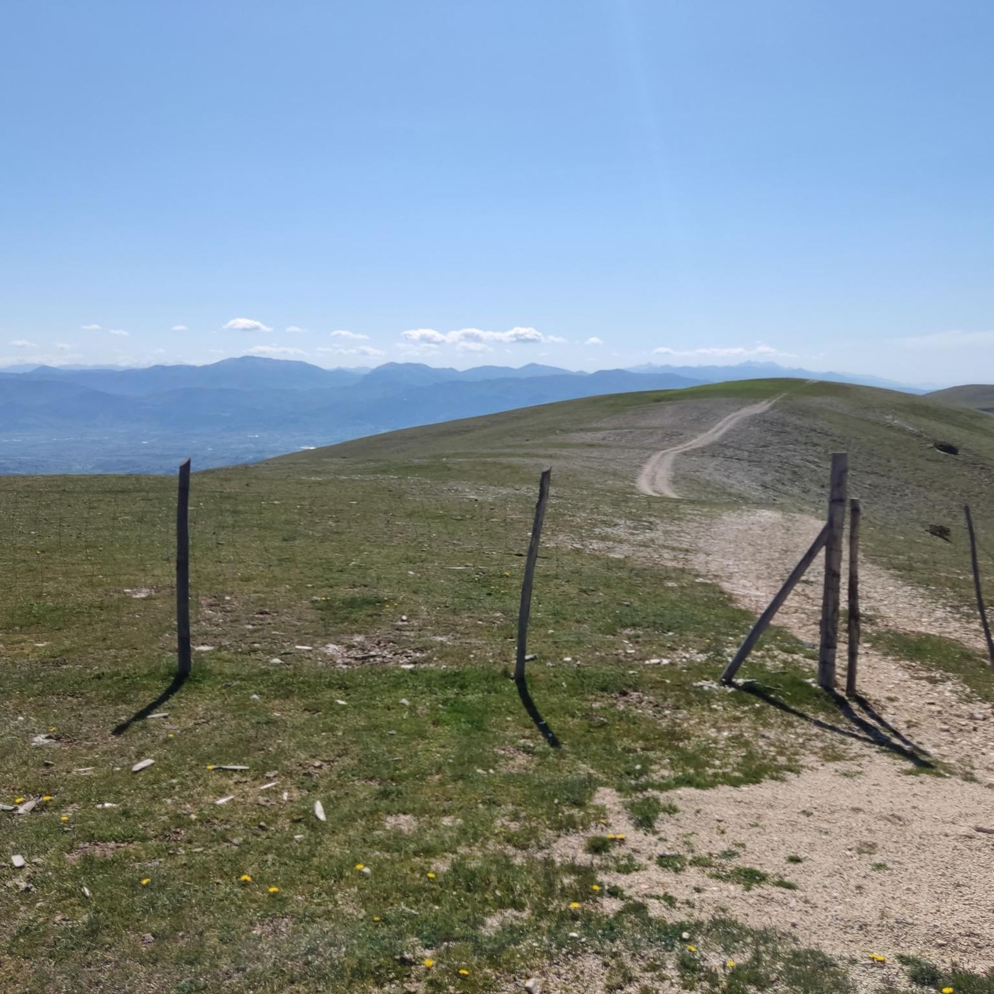
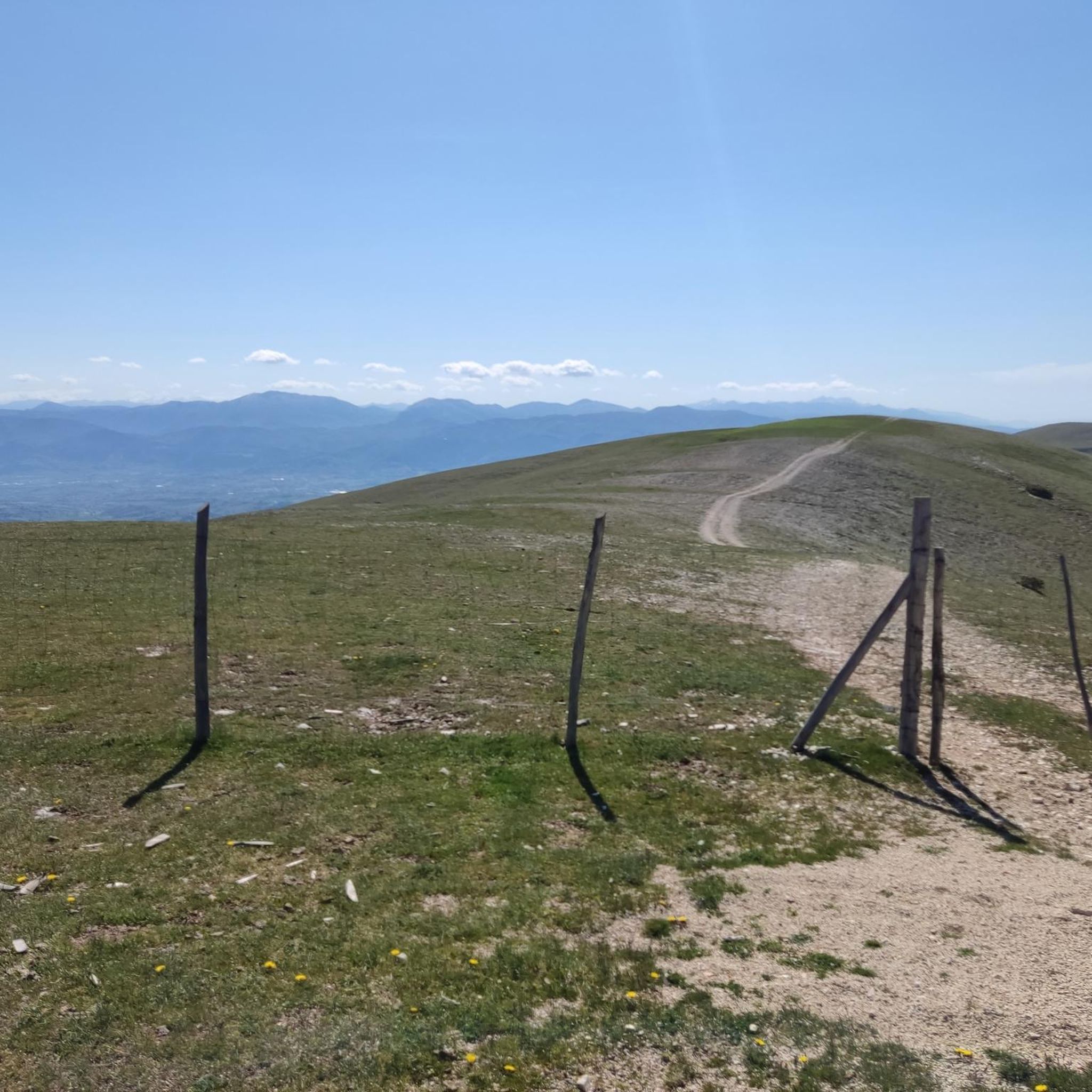
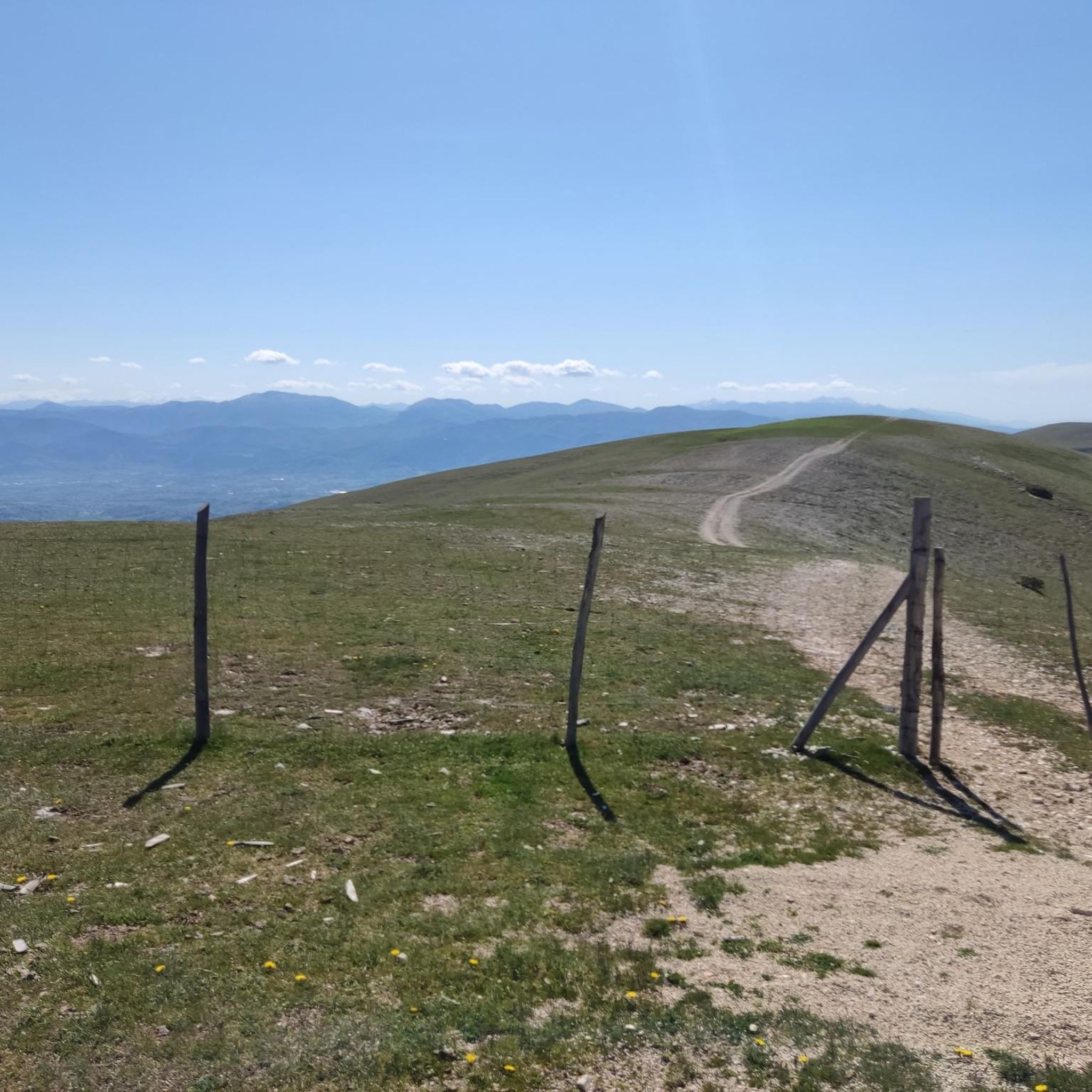
Jogging routes in Monte Il Cerchio traverse a landscape characterized by Mediterranean scrub, juniper thickets, and open spaces with oak trees. The region features an elevation reaching approximately 930 meters, offering varied terrain for runners. At its summit, secondary grasslands bloom in spring, and the ancient circular stone structure known as the "Castelliere" provides a historical landmark. This area in Umbria offers a blend of natural features and historical intrigue for outdoor activities.
Best jogging routes in Monte Il Cerchio
…Last updated: June 24, 2026
1
runners
Hard run. Very good fitness required. Sure-footedness, sturdy shoes and alpine experience required.
2
runners
16.1km
01:56
420m
420m
Hard run. Very good fitness required. Mostly paved surfaces. Suitable for all skill levels.

Sign up for free
3
runners
Moderate run. Good fitness required. Mostly paved surfaces. Suitable for all skill levels.
1
runners
8.35km
01:03
240m
240m
Moderate run. Good fitness required. Mostly paved surfaces. Suitable for all skill levels.
2
runners
8.28km
00:55
200m
200m
Moderate run. Good fitness required. Mostly paved surfaces. Suitable for all skill levels.
Get access to more routes and recommendations from other explorers.
Sign up for free
Already have an account?
Our route recommendations are based on thousands of hikes, rides, and runs completed by other people on komoot.
Start today with a free account
Your next adventure awaits.
Login or Signup

Tips from the Community

Starting point for a nice ride on horseback in the Martani 🚵
0
0

Santa Maria in Pantano is a Romanesque church located near Massa Martana, along the Via Flaminia. It is one of the oldest and most interesting churches in Umbria, built between the 7th and 8th centuries on top of a pre-existing Roman building.
1
0

Near this point is the Pozzicola cave, not too far from the highest point of Monte Forzano and the pozzale chasm and within the site of community importance of Monte Il Cerchio.
1
0

Place of worship where there is a church
0
0
Panoramic walk (in this case running) with a view of the olive trees up to the basilica of San Felice
0
0
Frequently Asked Questions
How many jogging routes are available in Monte Il Cerchio?
Monte Il Cerchio offers a selection of 9 dedicated jogging routes. These routes vary in difficulty, providing options for different fitness levels, though most are moderate to difficult.
What kind of terrain can I expect on the running trails in Monte Il Cerchio?
The running trails in Monte Il Cerchio traverse diverse landscapes. You'll encounter Mediterranean scrub, dense juniper thickets, and open spaces dotted with oak trees. The terrain can be varied, with some routes featuring mostly paved surfaces and others requiring good fitness and sure-footedness due to significant elevation changes.
Are there any challenging running trails for experienced runners in Monte Il Cerchio?
Yes, Monte Il Cerchio features several challenging routes. For instance, the Montemartano - ring tour - Site of Community Importance - Monte Il Cerchio is a difficult 8.3-mile (13.4 km) trail with substantial elevation gain, perfect for those seeking a demanding run.
What are some notable landmarks or points of interest I might see while running in Monte Il Cerchio?
One of the most significant landmarks is the 'Castelliere' at the mountain's peak, an ancient circular stone structure from the Bronze and Iron Age, often called the 'Stonehenge of Umbria'. You can learn more about it at visitmassamartana.it. Some routes also pass by historical sites like the Statue of Saint Gaspare and the Basilica of San Felice, or the Castello di Montalbano.
What is the best time of year for jogging in Monte Il Cerchio?
Spring is an excellent time for jogging in Monte Il Cerchio, as the summit's secondary grasslands burst into bloom with vibrant wildflowers, accompanied by the intense scent of wild thyme. The Mediterranean climate generally offers pleasant conditions for outdoor activities during spring and autumn.
Are there any circular running routes in Monte Il Cerchio?
Yes, many of the routes in Monte Il Cerchio are designed as loops. For example, the Montemartano - ring tour is a prominent circular option. Another is the Castello di Montalbano – Vecchia Fontana de Confinio loop, which offers a scenic circular run.
What do other runners enjoy most about the trails in Monte Il Cerchio?
The running routes in Monte Il Cerchio are highly rated by the komoot community, with an average score of 5.0 stars. Runners often praise the varied natural environments, the historical intrigue of sites like the Castelliere, and the panoramic views from higher elevations.
Are there any running routes that are suitable for families with children?
While the guide primarily lists moderate to difficult routes, some sections of the trails might be suitable for families depending on their fitness level. Routes with less elevation gain, such as the Running loop from Baiano di Spoleto, could be considered, but always check the route details for distance and elevation to ensure it matches your family's capabilities.
Is there parking available near the trailheads in Monte Il Cerchio?
While specific parking information for each trailhead is not detailed here, Monte Il Cerchio is part of a region in Umbria known for outdoor tourism, suggesting that parking facilities are generally available near popular access points for trails. It's advisable to check individual route descriptions or local resources for precise parking locations.
Can I reach Monte Il Cerchio's running trails using public transport?
Information on specific public transport links directly to the trailheads of Monte Il Cerchio is not readily available. However, the region of Umbria is generally accessible, and you may find public transport options to nearby towns like Giano dell'Umbria or Acquasparta, from which you could potentially access some routes. Planning ahead with local transport schedules is recommended.
What is the elevation gain like on the running routes in Monte Il Cerchio?
The elevation gain on Monte Il Cerchio's running routes varies significantly. For example, the difficult Montemartano - ring tour involves over 645 meters of ascent. Other moderate routes, like the Catacomba di S. Faustino loop, have around 198 meters of elevation gain, offering a range of challenges.
Are there any specific regulations for dog-friendly trails in Monte Il Cerchio?
While Monte Il Cerchio is a natural area, specific regulations regarding dogs on trails are not detailed in the provided information. Generally, in Italian natural areas, dogs are often permitted on trails but should be kept on a leash, especially in areas with wildlife or livestock. It's always best to check local signage or official park websites for the most current rules.
Most popular routes in Monte Il Cerchio

Get inspired with the komoot mobile app


Explore more
Browse the best Running Trails & Routes in other regions.
