Forêt Domaniale Des Sauvas
Forêt Domaniale Des Sauvas
The best mountain hikes in Forêt Domaniale Des Sauvas
5.0
(1)
15
hikers
3
hikes
Mountaineering routes in Forêt Domaniale Des Sauvas offer diverse landscapes and challenging terrain in the Hautes-Alpes region of France. The area is characterized by dense woodlands, expansive plateaus, and significant peaks like the Pic de Bure, which reaches 2,907 meters. Mountaineers can experience the unique "lunar atmosphere" of the Combe d'Aurouze, a vast scree slope leading to the Bure plateau, providing spectacular mountain panoramas. The cirque des Sauvas is renowned for its striking natural features, making it a compelling destination…
Last updated: October 21, 2026
6
hikers
8.40km
03:03
460m
460m
Moderate mountaineering route. Good fitness required. Mostly accessible paths. Sure-footedness required.
5
hikers
7.58km
03:55
590m
590m
Hard mountaineering route. Good fitness required. Sure-footedness, sturdy shoes and alpine experience required.

5.0
(1)
2
hikers
11.5km
04:12
690m
690m
Moderate mountaineering route. Good fitness required. Easily-accessible paths. Suitable for all skill levels.
2
hikers
9.20km
03:24
570m
570m
Hard mountaineering route. Good fitness required. Sure-footedness, sturdy shoes and alpine experience required.
Our route recommendations are based on thousands of hikes, rides, and runs completed by other people on komoot.
Start today with a free account
Your next adventure awaits.
Popular around Forêt Domaniale Des Sauvas
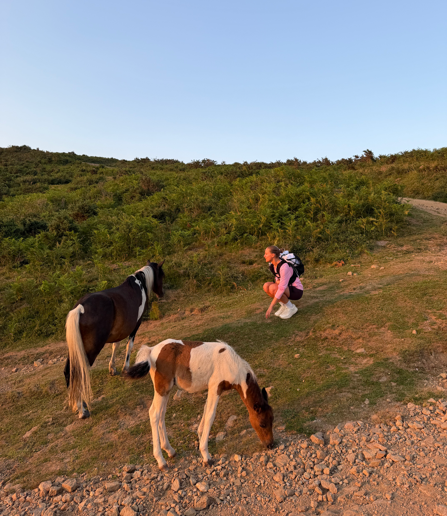
France’s Best Sunrise & Sunset Hikes

8 hikes in the Hautes-Alpes — mountain passes and high-altitude lakes

The most beautiful MTB and hiking tours in the French Maritime Alps
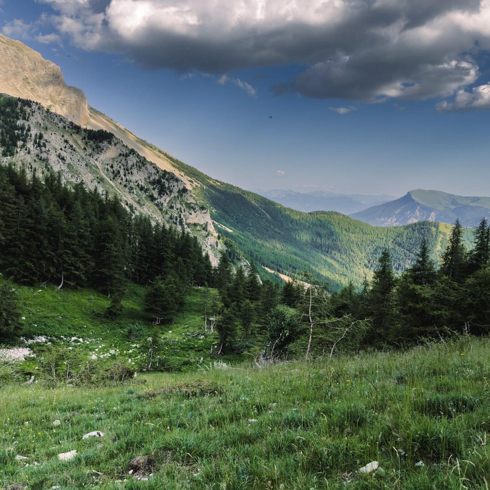
Road Cycling Routes in Forêt Domaniale Des Sauvas
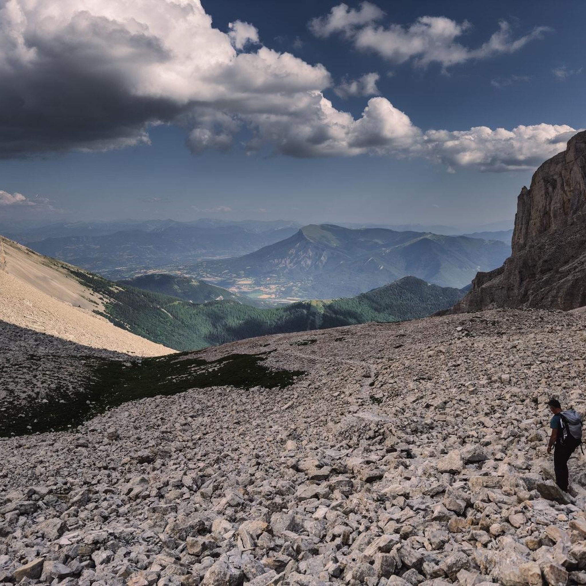
Hiking in Forêt Domaniale Des Sauvas
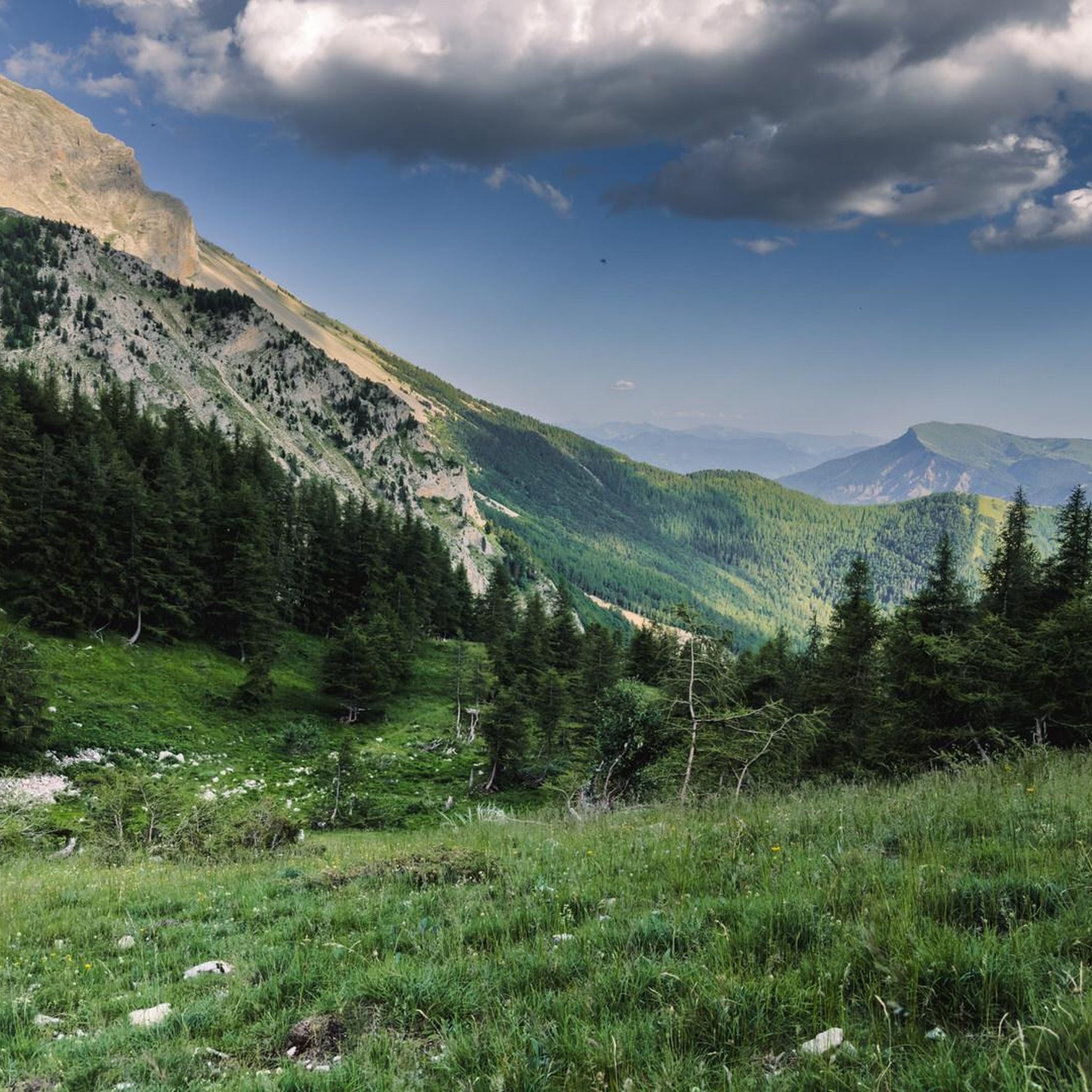
Cycling in Forêt Domaniale Des Sauvas
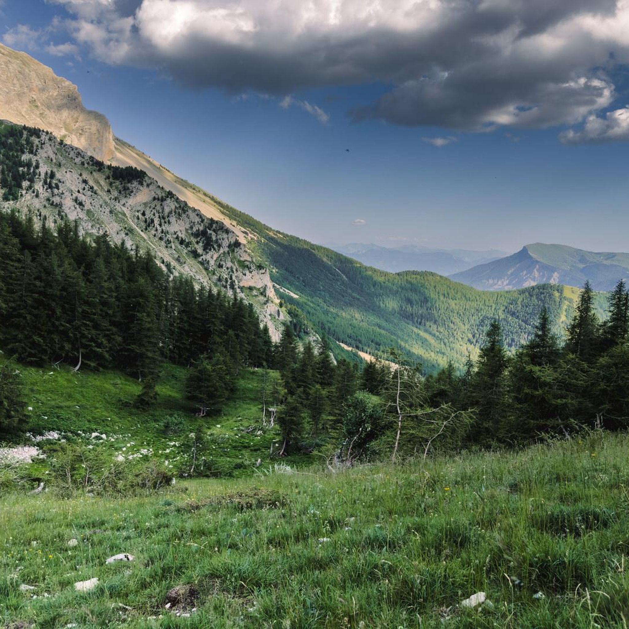
MTB Trails in Forêt Domaniale Des Sauvas
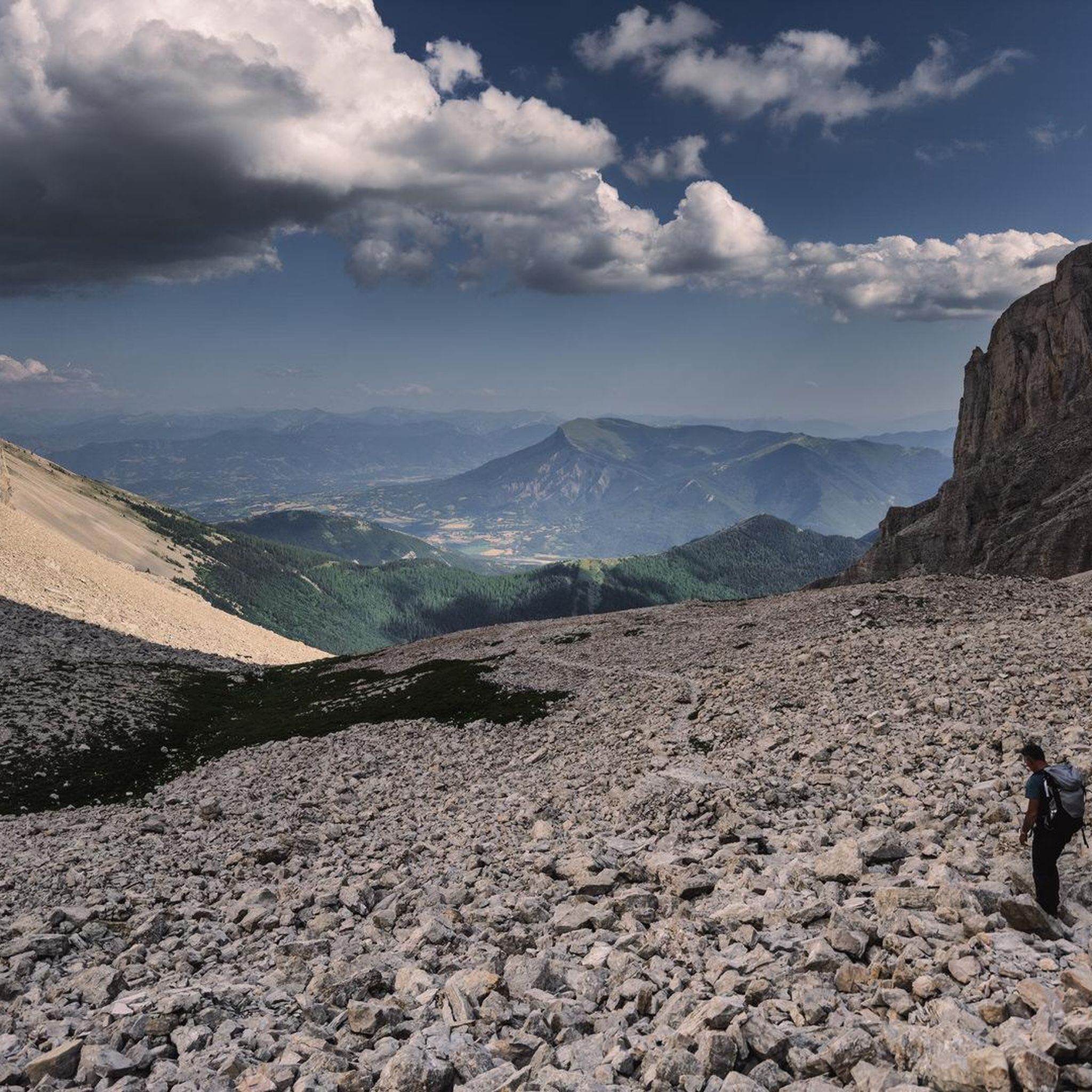
Running Trails in Forêt Domaniale Des Sauvas
Gravel biking in Forêt Domaniale Des Sauvas
Other adventures in Forêt Domaniale Des Sauvas


Tips from the Community

Wonderful spot overlooking col bayard
0
0

El Col de Gleize from Col Bayard is a mountain pass located in the Hautes-Alpes region. It has a length of 4.8 km and a total positive elevation gain of 448 m. The average gradient of Col de Gleize from Col Bayard is 10%.
0
0


It is one of the highest bocages in Europe. These landscapes are typical in France, but this one is one of the best preserved. It has a superb network of beech hedges, crops, meadows and woods which attracts beautiful biodiversity and many birds.
0
0
The Col de Gleize car park is located next to a designated picnic area. It is the starting point for many hiking trails that intersect here.
0
0

For a great picnic with a 360° view of breathtaking landscapes: meet at Pic Chaudun 🌟
0
0

It is accessible by car via a pretty narrow road and has parking as it is the starting point for many trails.
1
0

From here we have a superb view of the Bure plateau, a plateau at an altitude of 2,552 m in the Dévoluy massif - site of the NOEMA Interferometer observatory.
0
0
Frequently Asked Questions
How many mountaineering routes are available in Forêt Domaniale Des Sauvas?
There are 5 mountaineering routes documented in Forêt Domaniale Des Sauvas, offering diverse experiences for outdoor enthusiasts. These routes are highly rated by the komoot community, with an average score of 5.0 stars.
What is the best time of year for mountaineering in Forêt Domaniale Des Sauvas?
The Hautes-Alpes region, where Forêt Domaniale Des Sauvas is located, generally offers excellent conditions for mountaineering from late spring through early autumn. During these months, trails are typically clear of snow at lower elevations, and the weather is more stable. Winter mountaineering is possible but requires specific alpine experience and equipment due to snow and ice conditions.
Are there any easy mountaineering routes for beginners in Forêt Domaniale Des Sauvas?
While mountaineering routes in this region often require good physical condition, there are options suitable for those with moderate experience. For example, the Peaks loop from SuperDévoluy is rated as moderate and offers varied terrain through the region's natural features.
Are dogs allowed on the mountaineering trails in Forêt Domaniale Des Sauvas?
Forêt Domaniale Des Sauvas is a protected forest area. While specific regulations for dogs can vary, generally, dogs are permitted on trails but should be kept under control, preferably on a leash, to protect local wildlife and ensure the safety of other hikers. Always check local signage for any specific restrictions.
What kind of terrain can I expect on mountaineering routes in Forêt Domaniale Des Sauvas?
Mountaineering routes in Forêt Domaniale Des Sauvas feature diverse terrain, ranging from dense woodlands to expansive plateaus and challenging rocky ascents. You'll encounter the unique "lunar atmosphere" of the Combe d'Aurouze, a vast scree slope, and impressive peaks like the Pic de Bure. Expect varied surfaces, including forest paths, rocky sections, and potentially exposed areas.
Are there any challenging routes for experienced mountaineers?
Yes, experienced mountaineers will find challenging options. The Grotte des Beaumettes loop from SuperDévoluy is rated as difficult, providing a demanding ascent with rewarding views of the surrounding mountains. Routes leading to peaks like the Pic de Bure often require sure-footedness and alpine experience.
Are there circular mountaineering routes available?
Yes, several routes in Forêt Domaniale Des Sauvas are circular, allowing you to start and end at the same point. Examples include the Peaks loop from SuperDévoluy and the Pic de Céüse loop from La Montagne, which offers varied landscapes.
What are the typical durations for mountaineering routes in this area?
The duration of mountaineering routes in Forêt Domaniale Des Sauvas varies depending on difficulty and distance. For instance, the moderate Peaks loop from SuperDévoluy typically takes around 3 hours 31 minutes, while the more challenging Grotte des Beaumettes loop from SuperDévoluy can take approximately 3 hours 54 minutes. Longer routes like the Pic de Céüse loop from La Montagne are often completed in about 4 hours 15 minutes.
Is public transport available to reach Forêt Domaniale Des Sauvas for mountaineering?
While the Hautes-Alpes region has some public transport options, direct access to specific trailheads within Forêt Domaniale Des Sauvas can be limited. It's advisable to check local bus schedules for services to nearby towns like SuperDévoluy or La Montagne, which serve as starting points for several routes. A personal vehicle often offers the most flexibility for reaching trailheads.
Are there accommodation options near the mountaineering routes?
Yes, Forêt Domaniale Des Sauvas offers accommodation options within the forest itself, such as L'Annexe des Sauvas and the Maison forestière Retrouvance® des Sauvas. These gîtes provide convenient bases for groups of hikers and other visitors, particularly for those embarking on longer treks. Additionally, nearby towns like SuperDévoluy offer various lodging choices.
Do I need a permit for mountaineering in Forêt Domaniale Des Sauvas?
Generally, permits are not required for day mountaineering on established trails within Forêt Domaniale Des Sauvas. However, if you plan to engage in specific activities like bivouacking or accessing certain protected zones, it's always best to check with local authorities or the park management for any specific regulations or requirements that might apply.
What are some notable landmarks or natural features to look out for?
The region is dominated by the impressive Pic de Bure, reaching 2,907 meters, which offers spectacular alpine scenery. You can also experience the unique "lunar atmosphere" of the Combe d'Aurouze, a vast scree slope. The cirque des Sauvas itself is renowned for its striking natural features and diverse landscapes, providing an immersive experience in nature.
Where can I find parking for mountaineering routes?
Parking is typically available at common starting points for mountaineering routes, such as SuperDévoluy or La Montagne. These locations often have designated parking areas for hikers. Always ensure you park legally and considerately, especially in smaller villages or residential areas.
Most popular routes in Forêt Domaniale Des Sauvas

Get inspired with the komoot mobile app


Explore more
Browse the best Mountain Hikes & Routes in other regions.
