Forêt Domaniale Des Sauvas
Forêt Domaniale Des Sauvas
The best walks and hikes in Forêt Domaniale Des Sauvas
4.5
(664)
6,132
hikers
138
hikes
Hiking in Forêt Domaniale Des Sauvas offers a diverse landscape characterized by dense woodlands and elevated plateaus. The region features significant peaks like Pic de Bure, providing scenic viewpoints over the surrounding area. Trails often traverse varied terrain, from forest paths to more open, higher-altitude sections, making it a prime location for exploring the natural beauty of the Sauvas.
Best hiking trails in Forêt Domaniale Des Sauvas
- The most popular hiking route is Ascent to Pic de Bure, an…
Last updated: July 9, 2026
4.5
(6)
63
hikers
13.2km
05:53
1,290m
1,290m
Hard hike. Very good fitness required. Easily-accessible paths. Suitable for all skill levels.
4.4
(18)
185
hikers
14.4km
06:23
1,330m
1,330m
Hard hike. Very good fitness required. Easily-accessible paths. Suitable for all skill levels.

Sign up for free
4.0
(2)
32
hikers
5.85km
02:19
440m
440m
Moderate hike. Good fitness required. Easily-accessible paths. Suitable for all skill levels.
5.0
(3)
20
hikers
9.95km
03:37
610m
600m
Moderate hike. Good fitness required. Easily-accessible paths. Suitable for all skill levels.
2
hikers
4.19km
01:21
180m
180m
Easy hike. Great for any fitness level. Easily-accessible paths. Suitable for all skill levels.
Get access to more routes and recommendations from other explorers.
Sign up for free
Already have an account?
Our route recommendations are based on thousands of hikes, rides, and runs completed by other people on komoot.
Start today with a free account
Your next adventure awaits.
Login or Signup
Popular around Forêt Domaniale Des Sauvas

8 hikes in the Hautes-Alpes — mountain passes and high-altitude lakes

The most beautiful MTB and hiking tours in the French Maritime Alps
Road Cycling Routes in Forêt Domaniale Des Sauvas
Cycling in Forêt Domaniale Des Sauvas
MTB Trails in Forêt Domaniale Des Sauvas
Running Trails in Forêt Domaniale Des Sauvas
Gravel biking in Forêt Domaniale Des Sauvas

Mountain Hikes in Forêt Domaniale Des Sauvas

Tips from the Community

The Fontaine du Vallon is a water source. It also offers a spot of shade before facing the climb towards the Pic de Bure, very exposed to the sun. This is a good spot to rest before continuing.
0
0
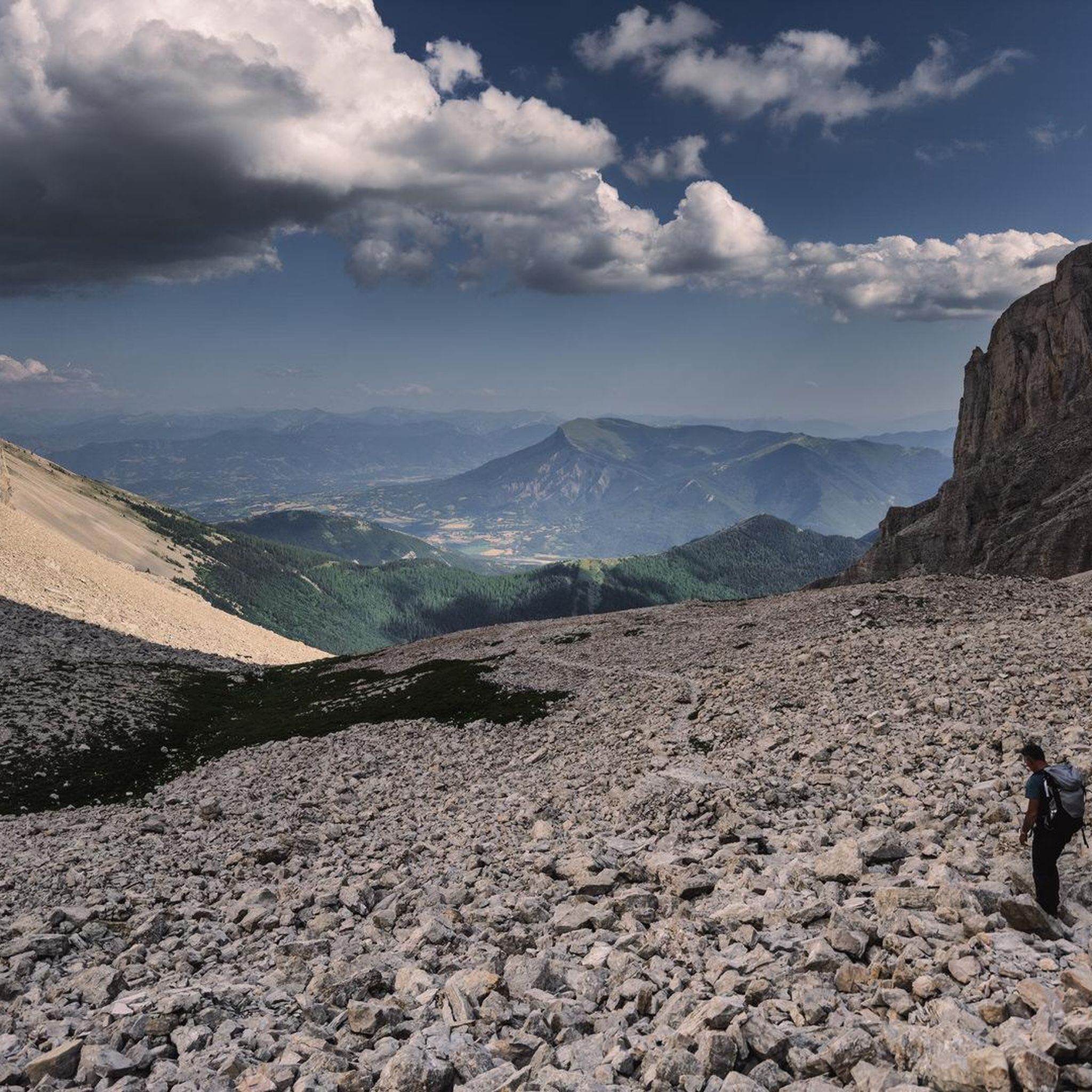
La Combe d'Aurouze is an immense and steep scree which provides access to the Bure plateau. A lunar atmosphere with mountain panoramas. The landscape is striking.
0
0
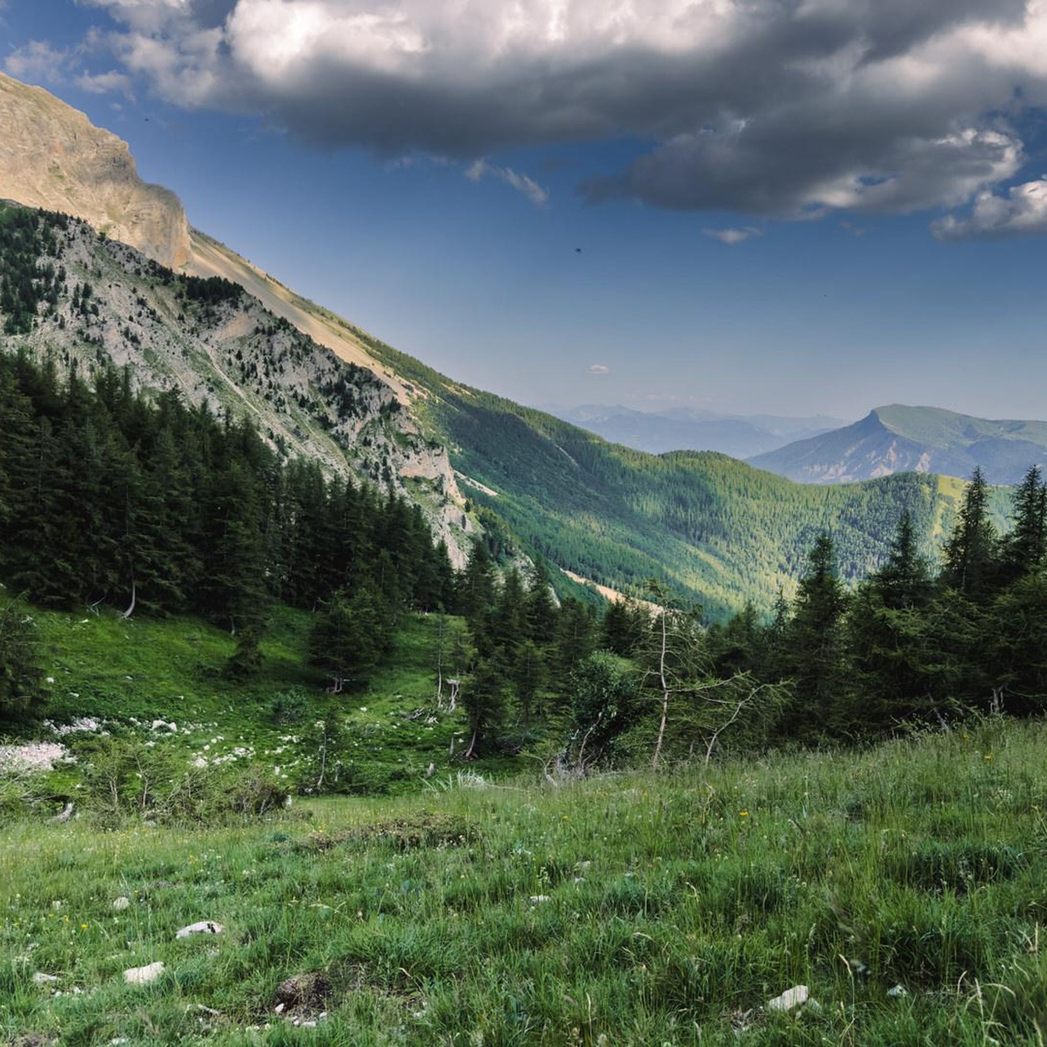
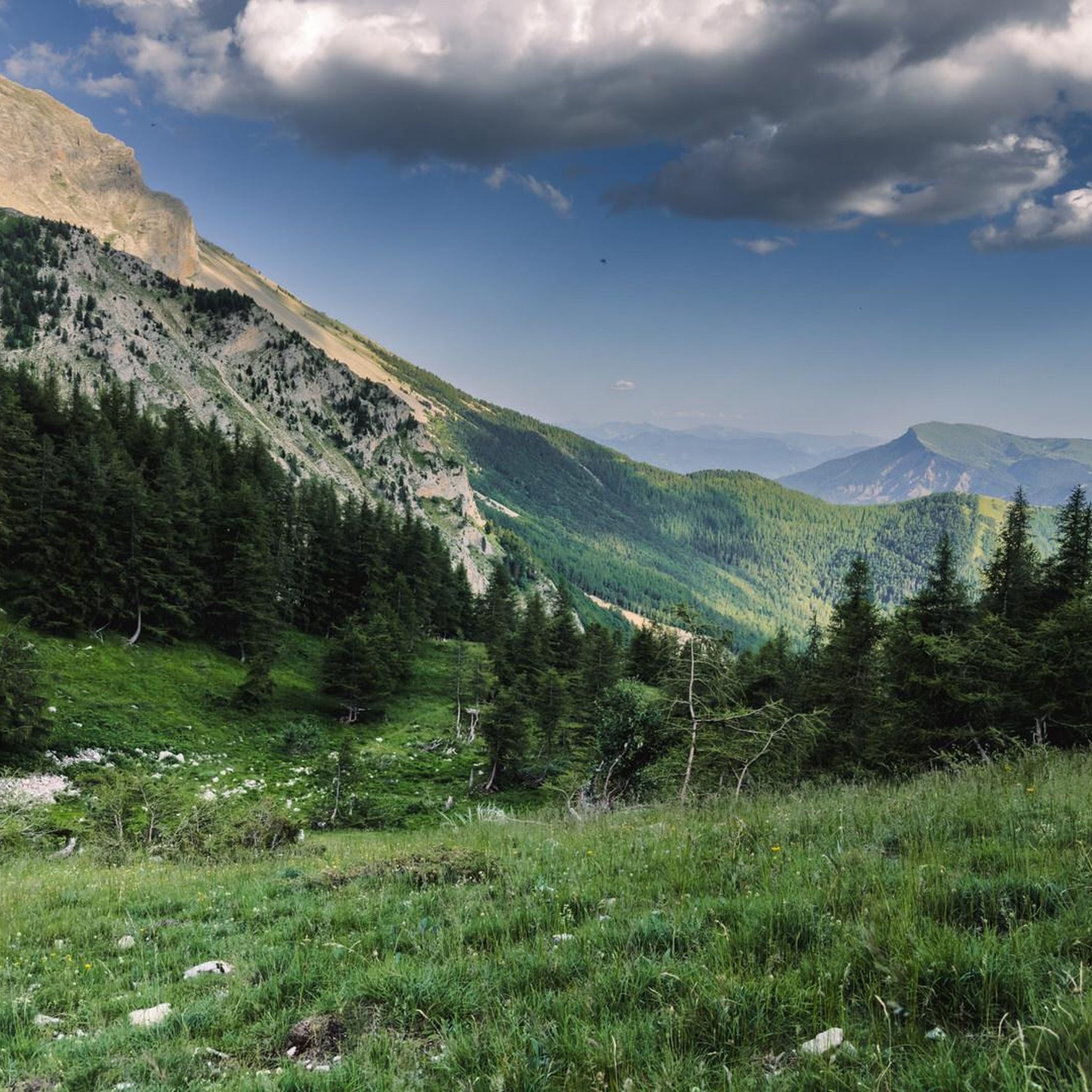
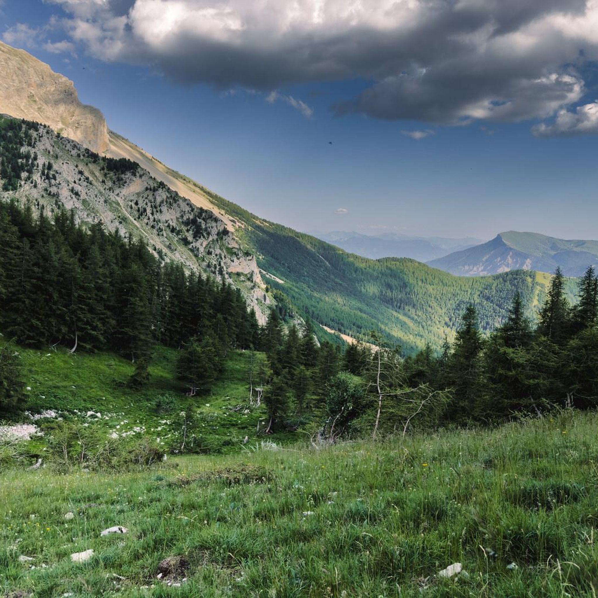
The path winds through the middle of these flowery alpine meadows while offering magnificent panoramas towards Veynois and the Pays du Buëch.
0
0
The car park is accessible at the end of the Sauvas forest road. From there, you are at the start of the path which leads to the very mineral summits of Dévoluy.
0
0

The Pic de Bure is a 2,709-meter-high peak in the Dèvoluy massif. You will need sturdy hiking boots for the path, which is sometimes quite rocky, and a weatherproof jacket, as it can be extremely windy at the heights. You will be rewarded with a wonderful panoramic view.
2
1
A little above the hiking trail you can see the huge antennas of a radio interferometer. The contrast between this high-tech, science-fiction-like facility and the breathtaking natural landscape could hardly be greater.
1
0
Wonderful, green path with a wonderful panorama towards Veynois and Pays du Buëch.
0
0
Frequently Asked Questions
How many hiking trails are available in Forêt Domaniale Des Sauvas?
Forêt Domaniale Des Sauvas offers a wide variety of hiking experiences, with over 120 trails mapped on komoot. These range from easy forest walks to challenging ascents, catering to different skill levels.
Are there easy hiking trails suitable for beginners in Forêt Domaniale Des Sauvas?
Yes, the region has 35 easy trails. An example is the Pic de Bure – Bure area parking lot loop from Pré Fontaine, which is 2.3 miles (3.7 km) long and offers a gentle introduction to the area's natural beauty.
What are the options for challenging hikes in Forêt Domaniale Des Sauvas?
For those seeking a challenge, there are 19 difficult trails. The region is known for its prominent peaks and elevated plateaus. A demanding option is the Ascent to Pic de Bure, an 8.2-mile (13.2 km) route with significant elevation gain, offering expansive views from the summit.
Are there any circular hiking routes in Forêt Domaniale Des Sauvas?
Yes, many trails in Forêt Domaniale Des Sauvas are designed as loops. For instance, the Plateau de Bure – Pic de Bure loop from Pré Fontaine is a challenging 8.9-mile (14.4 km) path that provides panoramic vistas across high-altitude plateaus.
What do other hikers say about the trails in Forêt Domaniale Des Sauvas?
The trails in Forêt Domaniale Des Sauvas are highly regarded by the komoot community, holding an average rating of 4.5 stars from nearly 600 reviews. Hikers often praise the diverse terrain, from dense woodlands to open plateaus, and the rewarding views from the peaks.
Are the hiking trails in Forêt Domaniale Des Sauvas suitable for families?
Many of the easier and moderate trails are suitable for families. The varied terrain, including forest paths, offers engaging walks for different age groups. Consider shorter, less strenuous loops for younger children.
Is Forêt Domaniale Des Sauvas a dog-friendly hiking destination?
Generally, dogs are welcome on trails in Forêt Domaniale Des Sauvas, but it's always advisable to keep them on a leash, especially in areas with wildlife or near livestock. Always check local signage for specific restrictions.
Where can I find parking for hiking routes in Forêt Domaniale Des Sauvas?
Many trailheads, especially those leading to popular routes, have designated parking areas. For example, the La Fontaine du Vallon – Bure area parking lot loop from Pré Fontaine suggests a starting point with parking facilities.
What is the best time of year to go hiking in Forêt Domaniale Des Sauvas?
The best time to hike in Forêt Domaniale Des Sauvas is typically from late spring to early autumn (May to October), when the weather is milder and trails are generally clear. Summer offers lush greenery, while autumn brings vibrant foliage. Winter hiking is possible but requires appropriate gear for snow and ice, especially at higher elevations.
What kind of scenery can I expect while hiking in Forêt Domaniale Des Sauvas?
Hikers can expect a diverse landscape featuring dense woodlands, elevated plateaus, and prominent peaks like Pic de Bure. The trails offer a mix of shaded forest paths and open sections with panoramic views over the surrounding area.
Are there any specific landmarks or viewpoints to look out for?
Pic de Bure is a significant landmark and a key viewpoint in the region, offering expansive vistas after a challenging ascent. The elevated plateaus also provide numerous opportunities for scenic overlooks.
How long do hikes typically take in Forêt Domaniale Des Sauvas?
Hike durations vary significantly depending on the trail's length and difficulty. Shorter, easy routes like the La Fontaine du Vallon – Bure area parking lot loop from Pré Fontaine can be completed in about 2 hours 19 minutes, while more challenging ascents can take upwards of 5-6 hours.
Most popular routes in Forêt Domaniale Des Sauvas

Get inspired with the komoot mobile app


Explore more
Browse the best Hikes in other regions.
