Forêt Domaniale Des Sauvas
Forêt Domaniale Des Sauvas
The best gravel rides in Forêt Domaniale Des Sauvas
4.2
(11)
82
riders
18
rides
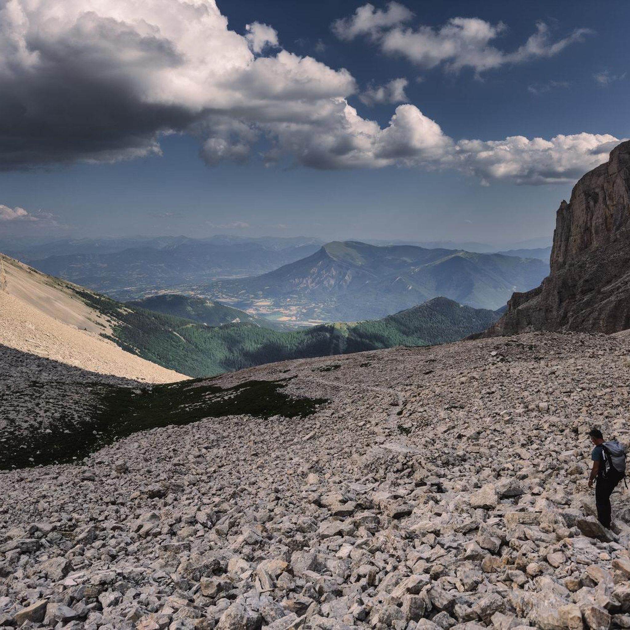
Gravel biking in Forêt Domaniale Des Sauvas is characterized by its extensive woodlands and varied topography, offering challenging gravel bike trails. The landscape features significant elevation changes, including cols and plateaus, providing a diverse environment for gravel biking. Riders can expect routes that traverse forested areas and open sections with views of the surrounding massifs.
Best gravel bike trails in Forêt Domaniale Des Sauvas
- The most popular gravel bike trail is Pelleautier Lake – View from the foot of the…
Last updated: July 16, 2026
4.0
(1)
6
riders
Hard gravel ride. Very good fitness required. Mostly paved surfaces. Suitable for all skill levels.
4
riders
Hard gravel ride. Very good fitness required. Mostly paved surfaces. Suitable for all skill levels.

Sign up for free
5.0
(1)
10
riders
51.1km
03:43
1,220m
1,220m
Hard gravel ride. Very good fitness required. Mostly paved surfaces. Suitable for all skill levels.
4
riders
28.4km
02:33
740m
740m
Hard gravel ride. Very good fitness required. Mostly paved surfaces. Suitable for all skill levels.
5.0
(1)
14
riders
48.4km
03:54
1,170m
1,170m
Hard gravel ride. Very good fitness required. Mostly paved surfaces. Suitable for all skill levels.
Get access to more routes and recommendations from other explorers.
Sign up for free
Already have an account?
Our route recommendations are based on thousands of hikes, rides, and runs completed by other people on komoot.
Start today with a free account
Your next adventure awaits.
Login or Signup
Popular around Forêt Domaniale Des Sauvas

8 hikes in the Hautes-Alpes — mountain passes and high-altitude lakes

The most beautiful MTB and hiking tours in the French Maritime Alps
Road Cycling Routes in Forêt Domaniale Des Sauvas
Hiking in Forêt Domaniale Des Sauvas
Cycling in Forêt Domaniale Des Sauvas
MTB Trails in Forêt Domaniale Des Sauvas
Running Trails in Forêt Domaniale Des Sauvas

Mountain Hikes in Forêt Domaniale Des Sauvas

Tips from the Community

The Col du Festre is an Alpine pass located in the Dévoluy massif, in the Hautes-Alpes department, at an altitude of 1,441 meters. It connects the Buëch valley with that of the Souloise and is one of the main accesses to the Dévoluy territory.
7
0

short, it's almost not worth turning on the light.
1
0

Beautiful pass with a great panorama and little traffic!
1
0


Interesting crossing point.
24
0


Frequently Asked Questions
What is the typical difficulty level for gravel bike trails in Forêt Domaniale Des Sauvas?
Gravel biking in Forêt Domaniale Des Sauvas is primarily suited for experienced riders. All 20 available routes are rated as difficult, featuring significant elevation changes, challenging climbs to cols, and varied terrain through extensive woodlands.
Are there any beginner or family-friendly gravel bike routes in Forêt Domaniale Des Sauvas?
Given the challenging nature of the terrain, with all routes rated as difficult and featuring considerable elevation gain, Forêt Domaniale Des Sauvas is not recommended for beginners or families seeking easy rides. The routes are designed for advanced gravel bikers.
What kind of terrain can I expect on gravel bike trails in Forêt Domaniale Des Sauvas?
You can expect a diverse landscape characterized by extensive woodlands, varied topography, and significant elevation changes. Routes often traverse forested areas, open sections, and include challenging climbs to cols and plateaus, offering panoramic views of the surrounding massifs.
How long do gravel bike rides typically take in Forêt Domaniale Des Sauvas?
The duration of gravel bike rides varies depending on the specific route and your pace. For example, the Pelleautier Lake – View from the foot of the Massif de Céüse loop from La Roche-des-Arnauds, which is 21.7 miles (34.9 km), typically takes around 2 hours 25 minutes. Longer routes like the Col du Festre – Col du Festre (1441 m) loop from SuperDévoluy, at 31.7 miles (51.1 km), can take about 4 hours 30 minutes.
Are there any loop gravel bike trails available in Forêt Domaniale Des Sauvas?
Yes, all the gravel bike routes in Forêt Domaniale Des Sauvas are designed as loops. This allows riders to start and finish at the same point, making logistics easier. Examples include the Tour of the Céüse Plateau – View from the foot of the Massif de Céüse loop from Manteyer and the Lower Ceüse Balcony Trail – Guérins Pass loop from Manteyer.
What is the best season for gravel biking in Forêt Domaniale Des Sauvas?
The best season for gravel biking in Forêt Domaniale Des Sauvas is generally from late spring to early autumn (May to October). During these months, the weather is typically more stable, and trails are clear of snow. Winter riding can be challenging due to snow and ice, especially at higher elevations and on cols like Col du Festre.
Are there good viewpoints or scenic spots along the gravel routes?
Yes, the routes in Forêt Domaniale Des Sauvas offer numerous scenic spots. Many trails provide panoramic views from plateaus and vistas towards the surrounding massifs, such as the Massif de Céüse. The varied topography ensures a constantly changing and engaging landscape.
What do other gravel bikers enjoy most about the trails in Forêt Domaniale Des Sauvas?
The komoot community highly rates the gravel biking experience in Forêt Domaniale Des Sauvas, with an average score of 4.7 stars from 8 reviews. Riders often praise the challenging nature of the routes, the extensive forested paths, and the rewarding panoramic views from the plateaus and cols.
Is public transport accessible for reaching gravel bike trails in Forêt Domaniale Des Sauvas?
Access to the gravel bike trails in Forêt Domaniale Des Sauvas primarily relies on personal transport. While some villages near trailheads might have limited bus services, it's advisable to plan your journey with a car for flexibility, especially given the mountainous and forested nature of the region.
Where can I find parking for gravel biking in Forêt Domaniale Des Sauvas?
Parking is generally available in the villages and towns that serve as starting points for the routes. For example, you can find parking near the start of the Collet du Tat – Col du Festre loop from Agnières-en-Dévoluy in Agnières-en-Dévoluy, or in Manteyer for routes exploring the Céüse Plateau.
Are there any facilities like cafes or restaurants near the gravel bike trails?
While the trails themselves are often in natural, forested areas, you can find cafes and restaurants in the nearby villages and towns such as La Roche-des-Arnauds, Manteyer, SuperDévoluy, or Agnières-en-Dévoluy. It's recommended to plan your stops in these locations before or after your ride, as amenities directly on the trails are limited.
Most popular routes in Forêt Domaniale Des Sauvas

Get inspired with the komoot mobile app


Explore more
Browse the best Gravel rides in other regions.
