The best mountain hikes around Lac De Montcineyre
4.5
(2)
12
hikers
3
hikes
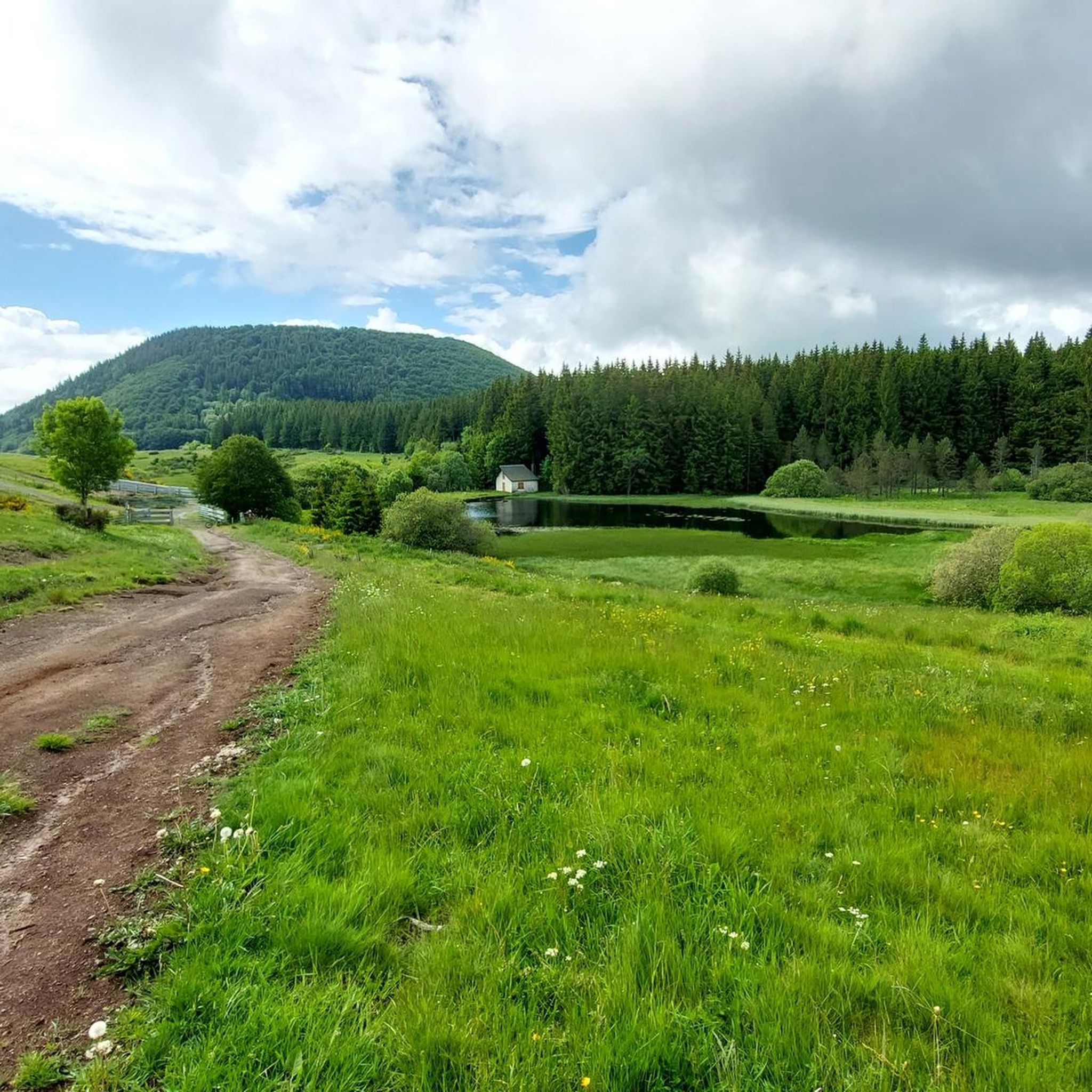
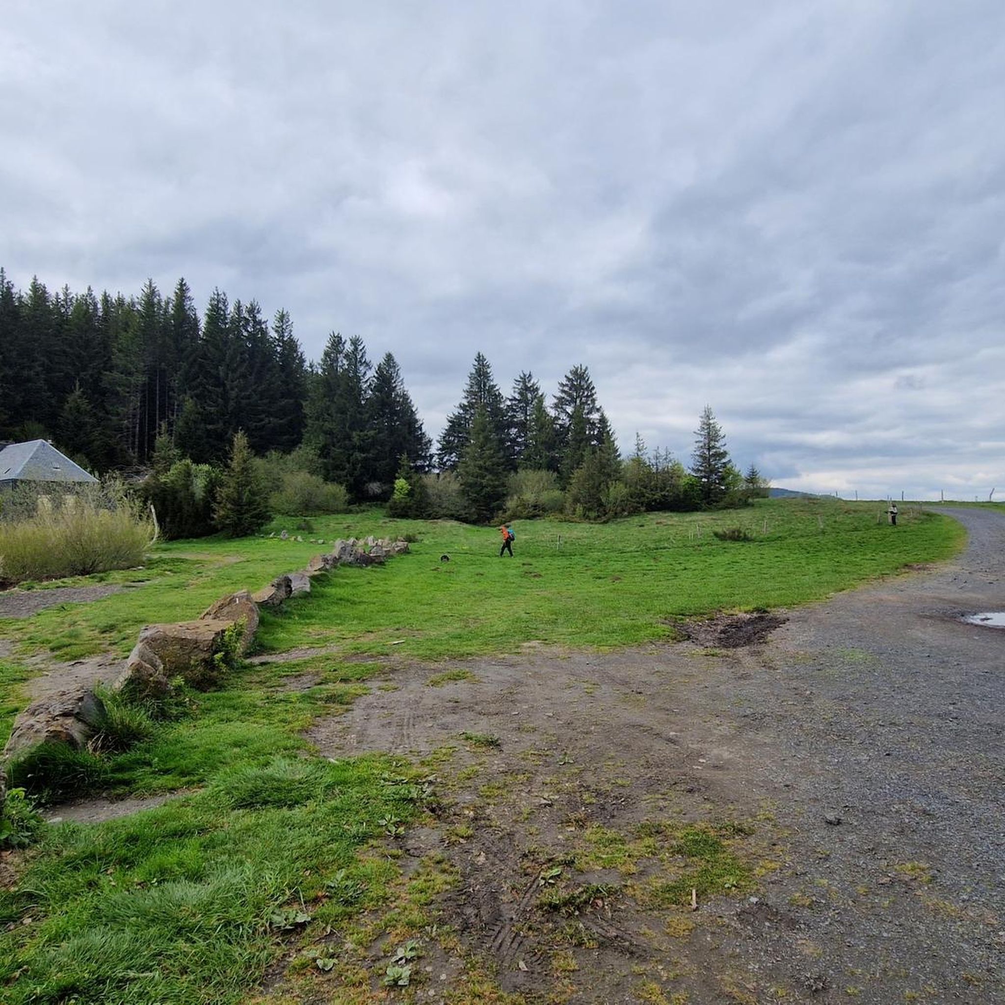
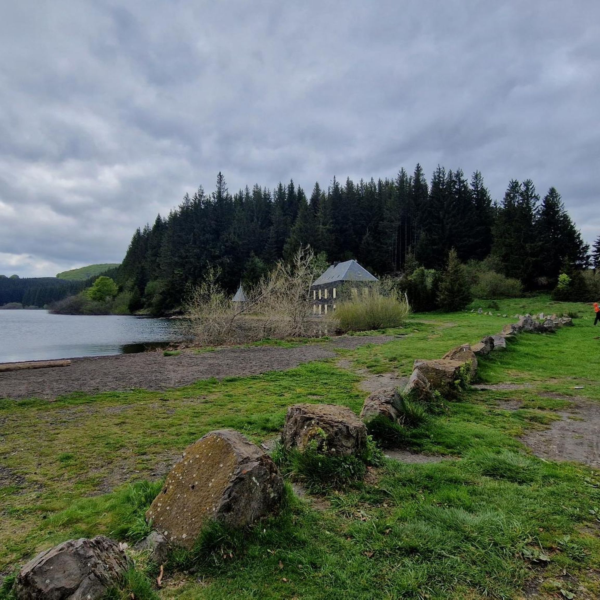
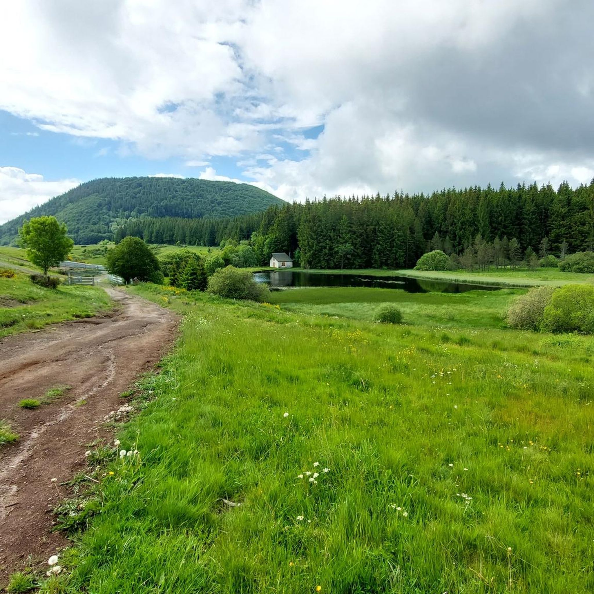
Mountaineering routes around Lac De Montcineyre traverse a landscape shaped by its volcanic origins, featuring a crescent-shaped lake situated at 1182 meters altitude. The area is characterized by ancient lava flows, such as those from Puy de Montcineyre, and is nestled amidst pastures and beech forests. This protected natural site within the Auvergne Volcanoes Regional Natural Park offers varied terrain for mountain exploration.
Best mountaineering routes around Lac De Montcineyre
- The most popular mountaineering route is Puy Montchal – Lake Pavin loop from Besse, a 3.5 miles (5.6 km) trail that takes 1 hour 44 minutes to complete. This easy route offers views of the volcanic landscape.
- Another top favourite among local mountaineers is Puy de Sancy – Crêtes du Sancy loop from Super Besse, a moderate 7.0 miles (11.2 km) path. This route ascends towards the Sancy massif, providing panoramic vistas.
- Local mountaineers also love the Courre Pass – Puy de Sancy loop from Col de la Geneste, a 11.4 miles (18.3 km) trail leading through challenging volcanic terrain, often completed in about 6 hours 9 minutes.
- Mountaineering around Lac De Montcineyre is defined by volcanic peaks, expansive pastures, and dense beech forests, with routes available for various ability levels.
- The routes in Lac De Montcineyre are highly rated by the komoot community with an average score of 4.5 stars from over 2 reviews. More than 12 mountaineers have used komoot to explore Lac De Montcineyre's varied terrain.
Last updated: July 8, 2026
2
hikers
5.60km
01:44
210m
210m
Easy mountaineering route. Great for any fitness level. Easily-accessible paths. Suitable for all skill levels.
4.5
(2)
7
hikers
11.2km
04:25
580m
580m
Moderate mountaineering route. Good fitness required. Mostly accessible paths. Sure-footedness required.

Sign up for free
3
hikers
18.3km
06:09
860m
860m
Hard mountaineering route. Very good fitness required. Mostly accessible paths. Sure-footedness required.
Our route recommendations are based on thousands of hikes, rides, and runs completed by other people on komoot.
Start today with a free account
Your next adventure awaits.
Login or Signup
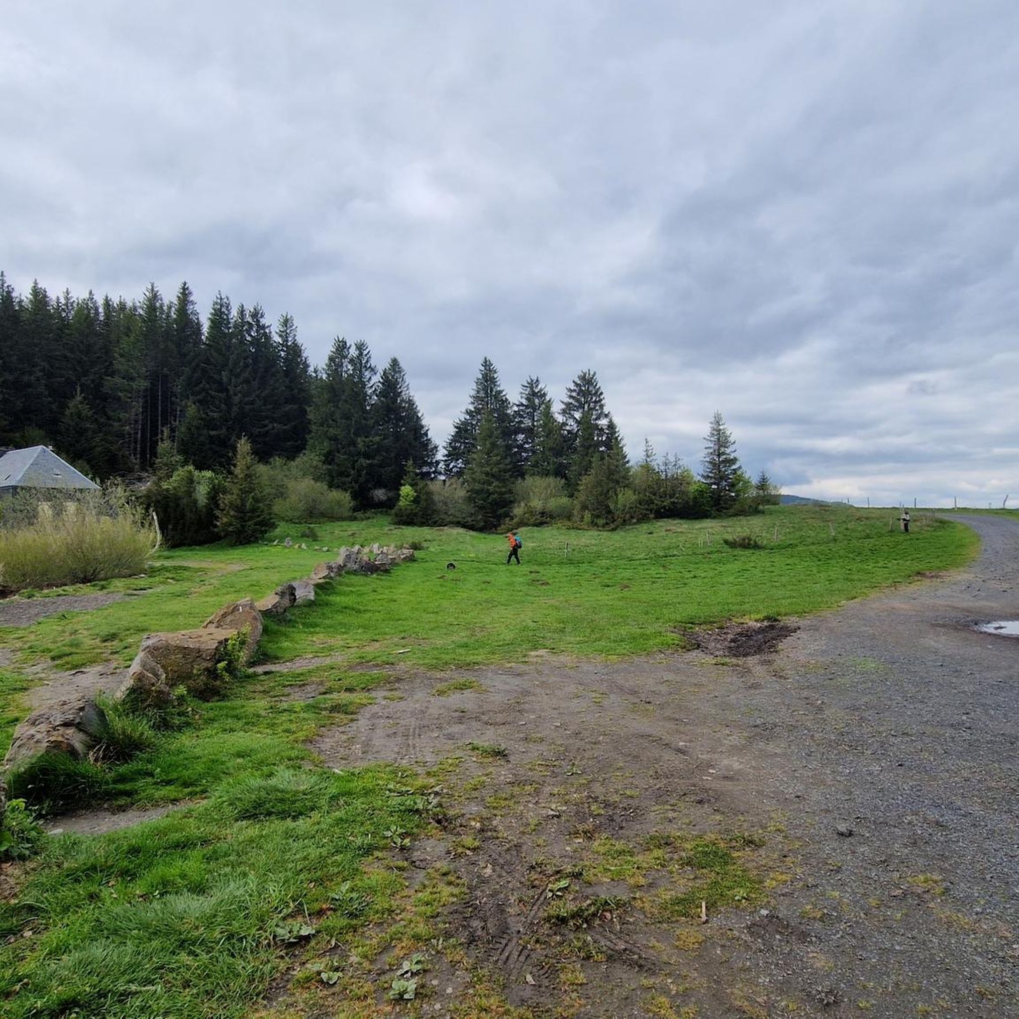
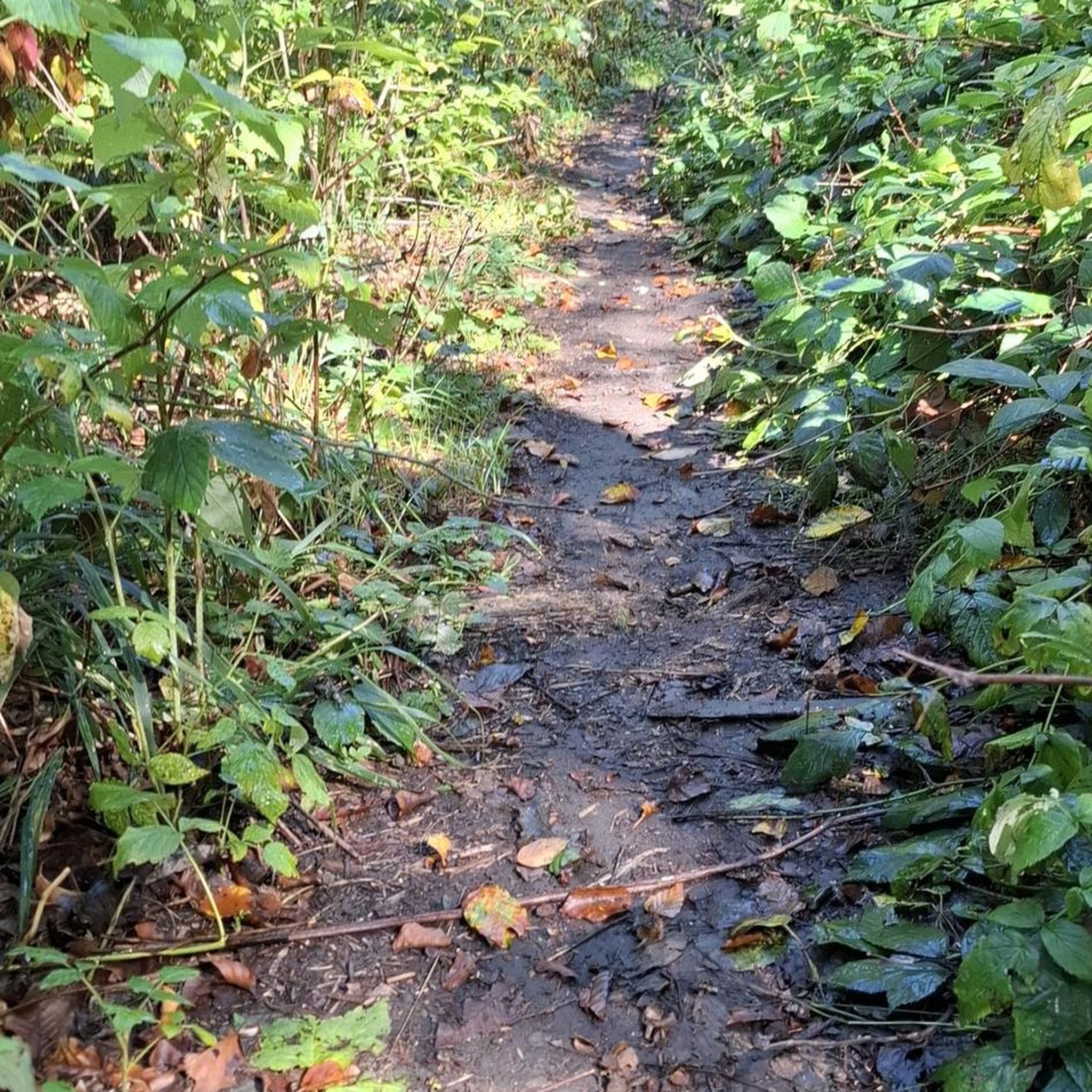
Tips from the Community

you have to have ridden it to understand
0
0


A little difficult given the snow still present but a magnificent view!
0
0

Surrounded by dense forests and steep cliffs, Lake Pavin is distinguished by its deep blue waters that reflect the surrounding vegetation. This enchanting setting, accessible by a trail, combines perfectly with breathtaking views of the lake and the surrounding mountains.
1
0

At the Col de Courre you can descend towards the valley station
1
1

Easy to overcome with cloudy skies and rain.
0
0
Frequently Asked Questions
What kind of terrain can I expect on mountaineering routes around Lac de Montcineyre?
The terrain around Lac de Montcineyre is distinctly volcanic, shaped by ancient lava flows from peaks like Puy de Montcineyre. You'll traverse a varied landscape featuring expansive pastures, dense beech forests, and unique rock formations. The area is part of the Auvergne Volcanoes Regional Natural Park, offering a dynamic environment for mountain exploration.
Are there any easy mountaineering routes suitable for beginners or families?
Yes, there is an easy mountaineering route available. Consider the Puy Montchal – Lake Pavin loop from Besse. This 5.6 km (3.5 miles) trail is generally completed in under two hours and offers gentle ascents with views of the volcanic landscape, making it a good option for those new to mountaineering or looking for a less strenuous outing.
Can I find circular mountaineering routes in the Lac de Montcineyre area?
Yes, all the mountaineering routes highlighted in this guide are circular. For example, the Puy Montchal – Lake Pavin loop from Besse offers an easy circular experience, while the more challenging Puy de Sancy – Crêtes du Sancy loop from Super Besse also forms a complete loop.
What are the most challenging mountaineering routes near Lac de Montcineyre?
For experienced mountaineers seeking a challenge, the Courre Pass – Puy de Sancy loop from Col de la Geneste is a demanding option. This difficult 18.3 km (11.4 miles) trail involves significant elevation gain, leading through rugged volcanic terrain and typically taking over six hours to complete.
What kind of views can I expect on these mountaineering routes?
The routes offer remarkable panoramic views, particularly of the Sancy massif. From certain vantage points, you might even catch the reflection of the Puy de Sancy in the lake's waters on clear days. The volcanic landscape itself provides dramatic scenery, with craters and unique rock formations.
How many mountaineering routes are available in the Lac de Montcineyre region?
There are several mountaineering routes available in the Lac de Montcineyre region, catering to various skill levels. This guide highlights three distinct routes, ranging from easy to difficult, allowing you to choose an adventure that suits your experience.
Is Lac de Montcineyre part of a larger hiking network?
Yes, Lac de Montcineyre is a significant stop on the GR30, also known as the 'Tour des Lacs d'Auvergne.' This long-distance hiking trail connects many of the volcanic lakes in the region, making the area a popular hub for trekkers exploring the wider Auvergne Volcanoes Regional Natural Park.
What do other mountaineers say about the routes around Lac de Montcineyre?
The mountaineering routes around Lac de Montcineyre are highly rated by the komoot community, with an average score of 4.5 stars. Users often praise the varied terrain and the unique volcanic landscapes encountered on these trails.
Are there any specific natural features or landmarks to look out for?
Absolutely. The region is defined by its volcanic origins. You'll encounter the crescent-shaped Lac de Montcineyre itself, perched at 1182 meters, and the Puy de Montcineyre, a volcanic peak with two visible craters. The entire area is a protected natural site, nestled amidst pastures and beech forests, offering a rich natural environment.
What is the typical duration for a moderate mountaineering route in this area?
A moderate route, such as the Puy de Sancy – Crêtes du Sancy loop from Super Besse, typically takes around 4 hours and 25 minutes to complete. This 11.2 km (7.0 miles) trail involves a moderate ascent and offers panoramic vistas towards the Sancy massif.
Is it possible to walk all the way around Lac de Montcineyre?
While there are many paths in the surrounding area, a full circular tour directly around the banks of Lac de Montcineyre itself is not possible. However, you can find trails that lead around the base of the Puy de Montcineyre and to its summit, offering views of the lake and the wider landscape.
Most popular routes around Lac De Montcineyre

Get inspired with the komoot mobile app


Explore more
Browse the best Mountain Hikes & Routes in other regions.
