The best road cycling routes around Lac De Montcineyre
4.7
(90)
2,769
riders
89
rides
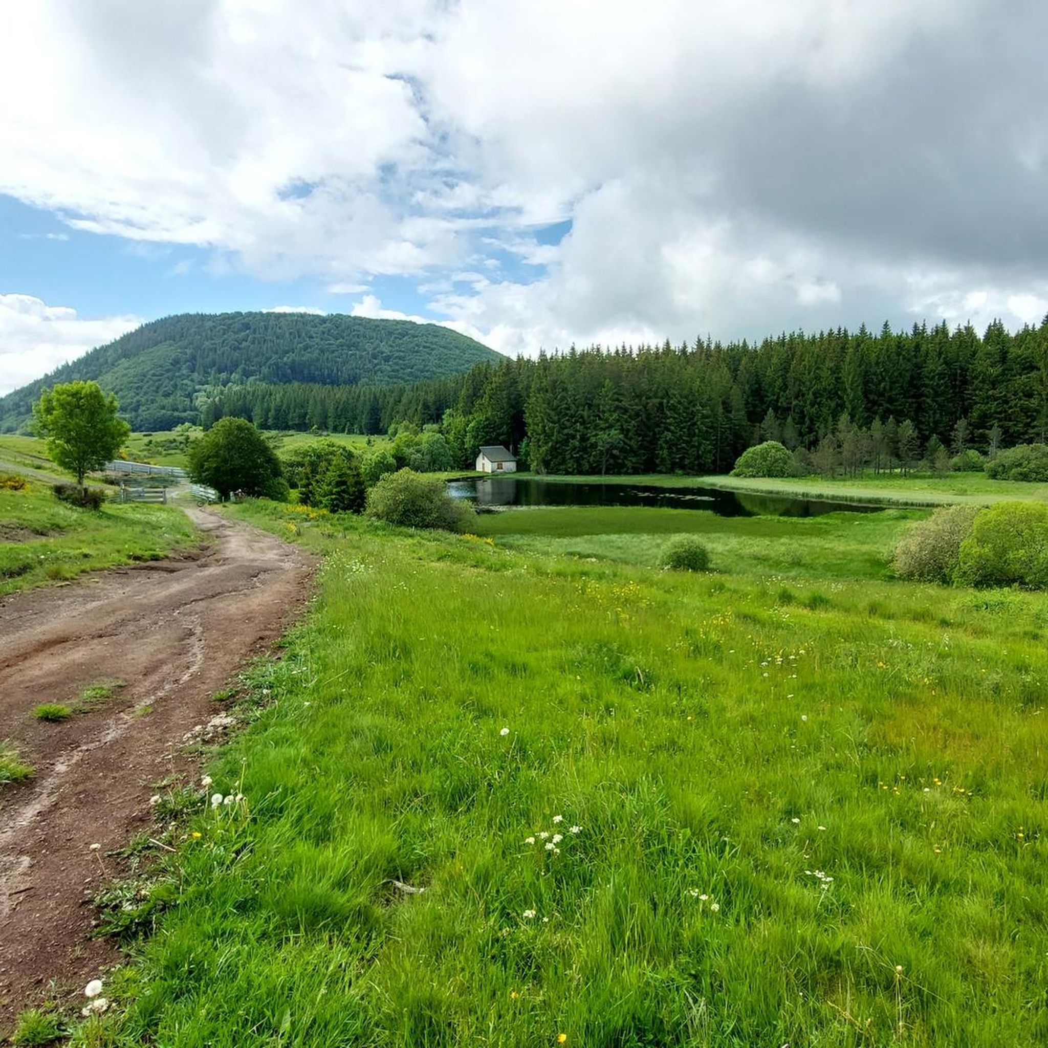
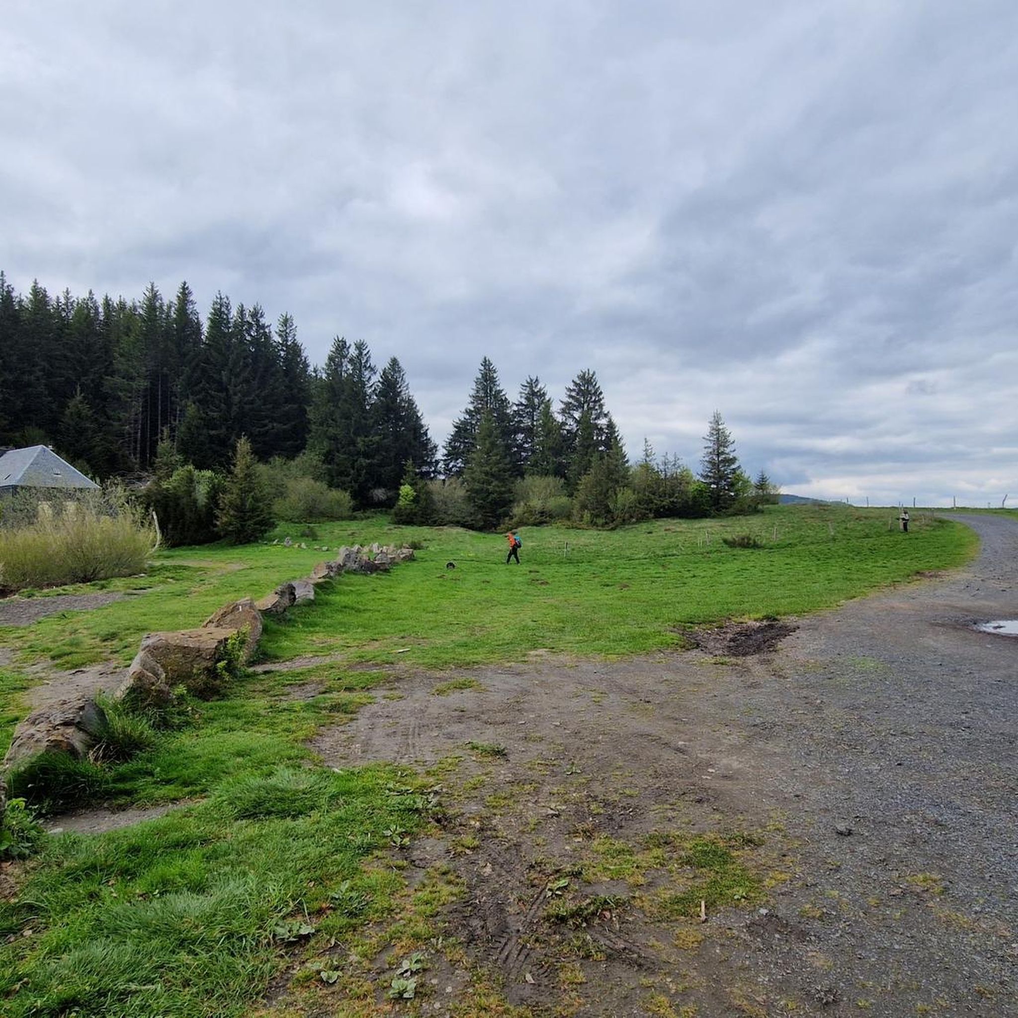
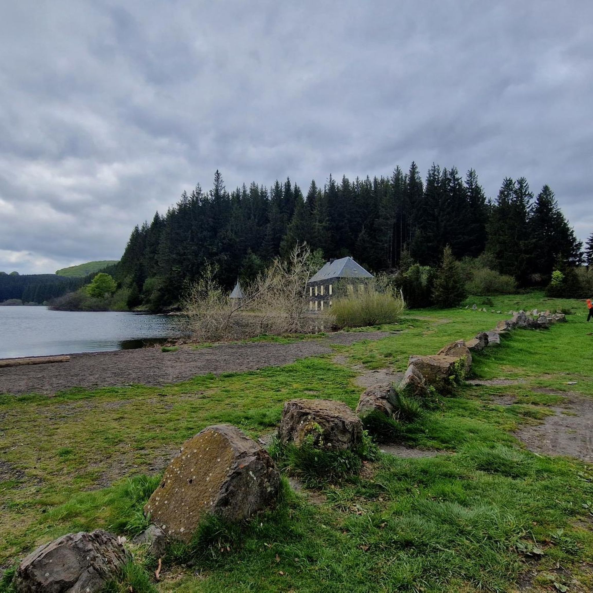
Road cycling routes around Lac De Montcineyre are situated in a region characterized by its volcanic origin and varied terrain, nestled at an altitude of 1,182 meters in the Puy-de-Dôme department. The area offers access to the challenging and scenic roads of the Dore mountains and the Cézallier massif. While direct cycling around the protected lake is not permitted, its surroundings provide an extensive network of roads for cyclists, featuring numerous cols and panoramic views of the Sancy and Cantal…
Last updated: July 15, 2026
10
riders
144km
07:20
2,480m
2,480m
Hard road ride. Very good fitness required. Mostly well-paved surfaces and easy to ride.
4
riders
155km
08:30
2,970m
2,970m
Hard road ride. Very good fitness required. Some segments of this route may be unpaved and difficult to ride.

Sign up for free
2
riders
127km
06:31
2,190m
2,190m
Hard road ride. Very good fitness required. Mostly well-paved surfaces and easy to ride.
6
riders
28.3km
01:32
530m
530m
Moderate road ride. Good fitness required. Mostly well-paved surfaces and easy to ride.
4.8
(4)
92
riders
60.1km
02:58
930m
930m
Hard road ride. Very good fitness required. Mostly well-paved surfaces and easy to ride.
Get access to more routes and recommendations from other explorers.
Sign up for free
Already have an account?
Our route recommendations are based on thousands of hikes, rides, and runs completed by other people on komoot.
Start today with a free account
Your next adventure awaits.
Login or Signup
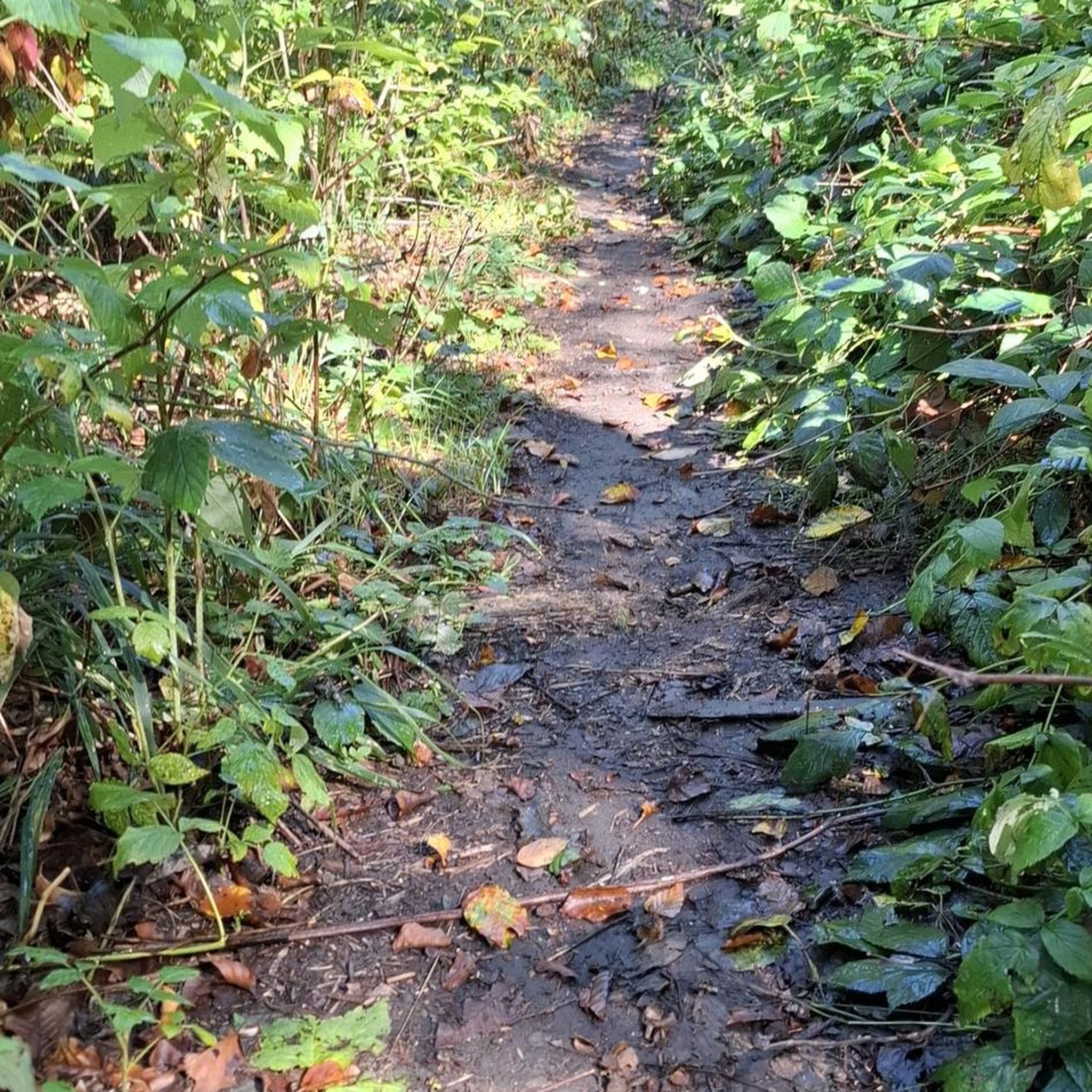
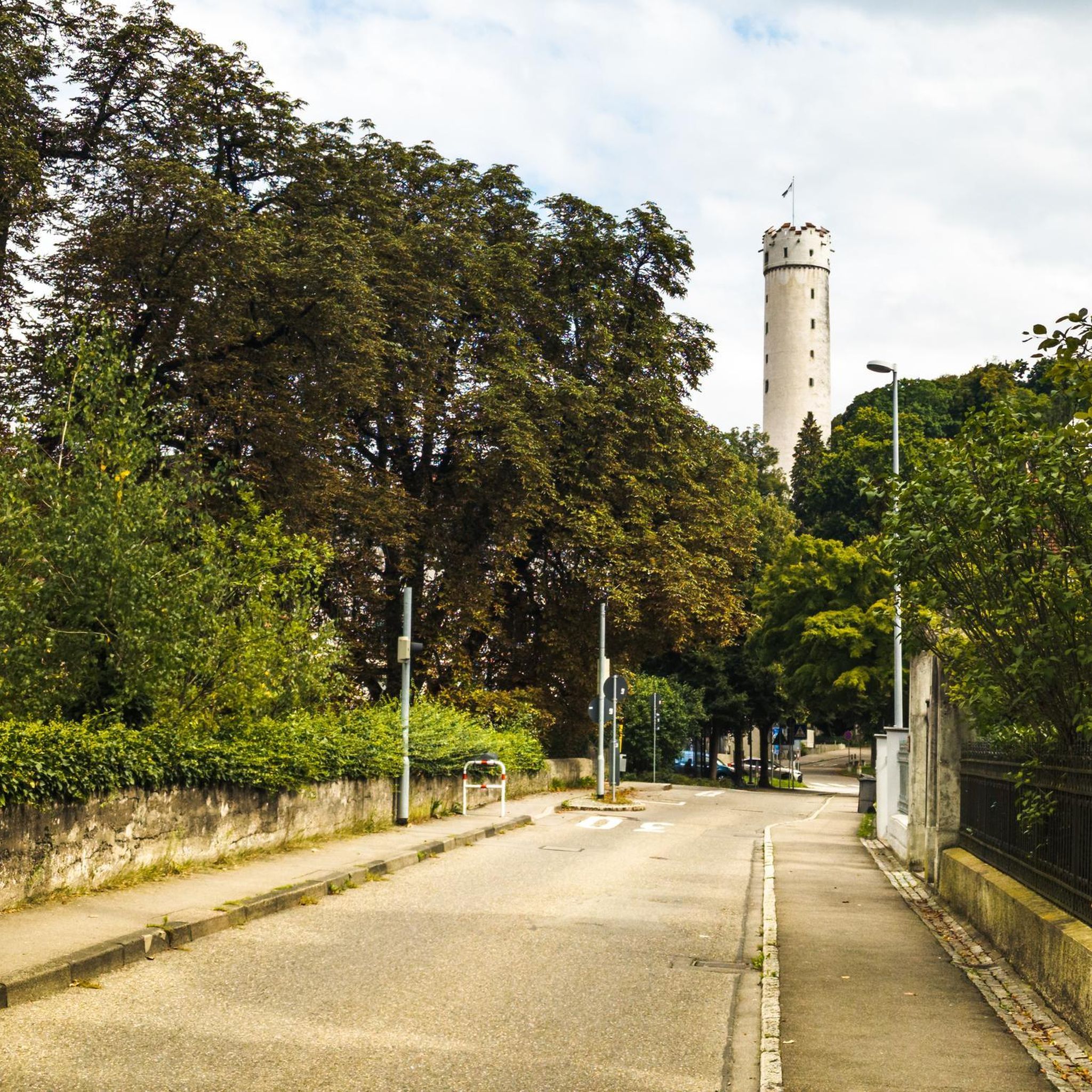
Tips from the Community


very pretty pass typical of Cezallier
1
0
Pleasant and fairly easy. Beautiful route.
0
0

Why didn't you make the Luguet signal? You have to go through Parrot... a place called. After the GR path... to the Luguet woods.
0
0
Not too difficult, I did it on a mountain bike.
0
0

Beautiful little pass from Besse, beautiful descent to Valbeleix
0
0
Very pretty town center. A must-see.
0
0
Frequently Asked Questions
What kind of terrain can I expect when road cycling around Lac De Montcineyre?
The region around Lac De Montcineyre is characterized by its unique volcanic origin, offering a diverse landscape for road cyclists. You'll encounter challenging climbs through the Dore mountains and the Cézallier massif, with numerous cols (mountain passes) ranging from 1,100 to 1,300 meters in altitude. Gradients typically vary between 3% and 6%, providing rewarding challenges. The routes often feature panoramic views of the Sancy and Cantal massifs, volcanic cones, beech forests, and green valleys.
Are there challenging road cycling routes for experienced riders?
Yes, the area is well-suited for experienced road cyclists seeking a challenge. Many routes are classified as difficult due to significant elevation gains and mountainous terrain. For example, the Pas de Peyrol Pass (1,589 m) – Ascent to Puy Mary loop from Le Bourdouze is a 95.3-mile route with substantial climbing. Another demanding option is the Lake Bourdouze – Chastreix loop from Le Bourdouze, covering 115.1 miles with extensive climbs.
What is the best time of year for road cycling in the Lac De Montcineyre region?
The best time for road cycling in the Auvergne region, including Lac De Montcineyre, is generally from late spring to early autumn. During these months, the weather is more stable, and mountain passes are clear of snow. The region's altitude means that conditions can change, so it's always advisable to check local weather forecasts before heading out, especially for routes at higher elevations.
Are there any family-friendly road cycling options near Lac De Montcineyre?
While many routes in the immediate vicinity of Lac De Montcineyre are challenging, the broader Auvergne Volcanoes Regional Natural Park offers a variety of routes. For family-friendly options, look for routes classified as 'moderate' or 'easy' on komoot. These typically feature less elevation gain and may include quieter country roads or designated cycle paths. Always check the route details for distance and elevation to ensure it matches your family's fitness level.
Can I find circular road cycling routes around Lac De Montcineyre?
Yes, many road cycling routes in the area are designed as loops, allowing you to start and end at the same point. An example is the Lake Bourdouze – Volpilière Pass loop from Le Bourdouze, which is a 78.8-mile trail through volcanic terrain. You can also find shorter loops like the Besse – Lake Bourdouze loop from Compains, a moderate 27.5-mile ride.
What do other road cyclists enjoy most about road cycling in Lac De Montcineyre?
The road cycling routes around Lac De Montcineyre are highly rated by the komoot community, with an average score of 4.8 stars from over 60 reviews. Cyclists often praise the stunning panoramic views of the Sancy and Cantal massifs, the challenging yet rewarding climbs over volcanic cols, and the relatively quiet country roads that offer an immersive experience in the unique Auvergne landscape.
Where can I park my car when going road cycling near Lac De Montcineyre?
Parking options for cyclists are available in nearby villages such as Compains or Le Bourdouze, which often serve as starting points for many routes. While direct cycling around Lac De Montcineyre is restricted, you can find parking in designated areas within these communities, allowing you to access the extensive network of roads in the surrounding Dore mountains and Cézallier massif.
Are there any specific regulations or permits required for road cycling in the Auvergne region?
Generally, no specific permits are required for road cycling on public roads in the Auvergne region. However, it's important to respect local regulations, especially within the Auvergne Volcanoes Regional Natural Park. Note that direct cycling around Lac De Montcineyre itself is not permitted due to its protected status as a drinking water reserve. Always stay on marked roads and trails and be mindful of local wildlife and private property.
Are there any scenic viewpoints along the road cycling routes?
Absolutely. The region is renowned for its breathtaking panoramas. The Cézallier Plateau, in particular, offers exceptional roads with expansive views of the Sancy and Cantal massifs. Ascents to various passes frequently reward cyclists with stunning vistas of green valleys, volcanic cones, and forests. Many routes are designed to maximize these scenic opportunities.
Can I find cafes or restaurants along the road cycling routes near Lac De Montcineyre?
While the immediate vicinity of Lac De Montcineyre is quite natural and protected, you can find cafes, restaurants, and accommodation in the nearby villages that serve as hubs for cyclists. Compains, for instance, is a good starting point and offers amenities where you can refuel and rest during or after your ride.
How many road cycling routes are available in the Lac De Montcineyre area?
There are over 90 road cycling routes available in the Lac De Montcineyre area on komoot. These routes cater to various fitness levels, ranging from moderate to difficult, and explore the diverse volcanic landscapes and challenging mountain passes of the region.
What is the difficulty level of road cycling routes in this region?
The road cycling routes around Lac De Montcineyre are predominantly classified as moderate to difficult. Out of the 93 routes available, 52 are considered difficult, and 35 are moderate, with only a few easy options. This indicates that the region is best suited for cyclists with good fitness levels who are prepared for significant elevation gains and mountainous terrain.
Most popular routes around Lac De Montcineyre

Get inspired with the komoot mobile app


Explore more
Browse the best Road cycling routes in other regions.
