The best mountain hikes around Carcanières
5.0
(3)
17
hikers
2
hikes
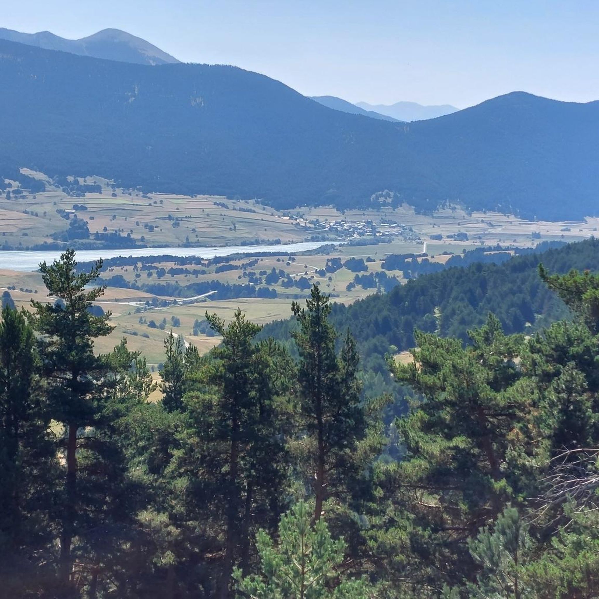
Mountaineering around Carcanières features a landscape characterized by high peaks, alpine lakes, and varied terrain suitable for challenging ascents. The region offers significant elevation gains, with routes traversing through mountainous environments. These trails often provide expansive views and demand a good level of fitness and experience.
Best mountaineering routes around Carcanières
- The most popular mountaineering route is Serra da Mauri (2,412 m) – Lakes of Camporells loop from Formiguères, a 17.4 miles (28.0 km) trail that takes 9 hours…
Last updated: June 24, 2026
11
hikers
26.7km
08:55
1,270m
1,270m
Hard mountaineering route. Very good fitness required. Easily-accessible paths. Suitable for all skill levels.
5.0
(3)
4
hikers
10.0km
03:35
590m
590m
Moderate mountaineering route. Good fitness required. Easily-accessible paths. Suitable for all skill levels.

Sign up for free
2
hikers
13.5km
05:42
800m
810m
Hard mountaineering route. Very good fitness required. Sure-footedness, sturdy shoes and alpine experience required.
Our route recommendations are based on thousands of hikes, rides, and runs completed by other people on komoot.
Start today with a free account
Your next adventure awaits.
Login or Signup

Tips from the Community

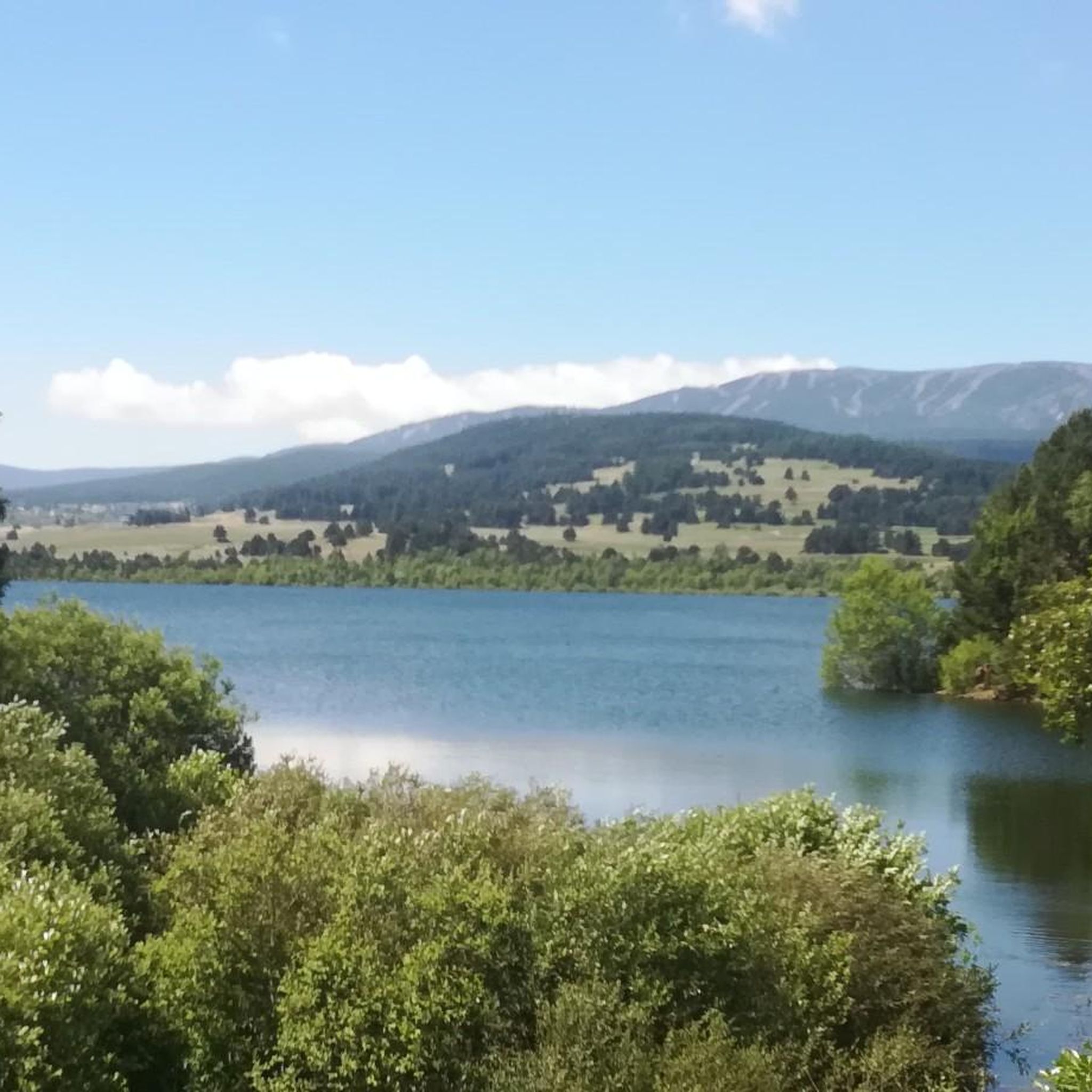
This super panoramic trail overlooks the El Galba watercourse, and offers all along a superb panorama of the Galbe valley. You are thus accompanied by fir trees, large green meadows and the mineral, snow-capped peaks in the background.
0
0

Like the reflection of the sun on water, your eyes will sparkle with a thousand lights. A magnificent place, let's protect and share it
0
0

Dominated by the peaks of the Pérics, this beautiful lake lies in the middle of a vast hanging cirque, the former bed of a glacier.
0
0

Perfect for picnicking in the shade of the trees. Swimming prohibited due to pollution (sunscreen)
0
0
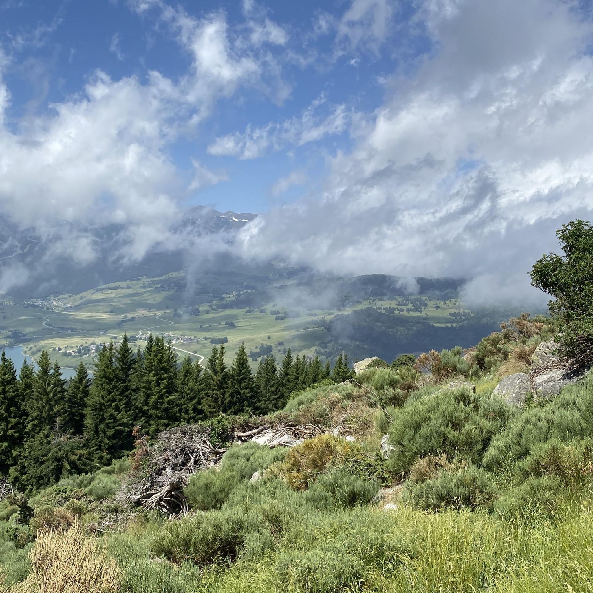
Beautiful spot with a view of the valley and the possibility of taking a framed photo. A second spot a few meters higher is also possible.
0
0
Dry toilets available but water point (source) 300 m from the refuge.
0
0
Magnificent view of the 2 lakes, perfect for picnicking. Swimming prohibited due to pollution (sunscreen).
0
0
Nestled at the foot of the Pérics at 2,240 meters, the Camporells refuge is in a remarkable setting. Located on the banks of the Estany del Mig (middle pond), it has 19 places and 12 additional tents.
1
0
Frequently Asked Questions
Are there mountaineering routes suitable for beginners in Carcanières?
Yes, while many routes in Carcanières are challenging, you can find moderate options. For instance, the La Collada loop from Capcir is a moderate 10 km path that offers an accessible mountaineering experience through varied mountain scenery.
What are some challenging mountaineering routes for experienced climbers in Carcanières?
Experienced mountaineers seeking a challenge can explore routes such as the Serra da Mauri (2,412 m) – Lakes of Camporells loop from Formiguères, a difficult 28 km trail with substantial elevation gain and high-altitude lake views. Another demanding option is the Pic de Canras – Pic de Baxouillade loop from Étang de Laurenti, which leads through high mountain passes and past alpine tarns.
Are there any circular mountaineering routes in Carcanières?
Yes, several routes in Carcanières are designed as loops, allowing you to start and finish at the same point. Examples include the Serra da Mauri (2,412 m) – Lakes of Camporells loop from Formiguères, the La Collada loop from Capcir, and the Pic de Canras – Pic de Baxouillade loop from Étang de Laurenti.
What is the typical duration for mountaineering routes in Carcanières?
The duration varies significantly based on the route's length and difficulty. For example, the moderate La Collada loop from Capcir typically takes around 3 hours 35 minutes, while the more challenging Serra da Mauri (2,412 m) – Lakes of Camporells loop from Formiguères can take approximately 9 hours 20 minutes to complete.
What kind of views can I expect on mountaineering routes around Carcanières?
Mountaineering around Carcanières is characterized by expansive views of high peaks, alpine lakes, and varied mountain terrain. Routes often feature panoramic vistas, high mountain passes, and serene alpine tarns, providing a true high-mountain experience.
Are there any interesting landmarks or attractions near the mountaineering routes?
Yes, the region offers several notable points of interest. You can find various mountain passes such as Pailhères Pass and Col du Garavel (1256 m). Other attractions include the Mijanès Pastoral Refuge and the area around Mijanès.
What do other mountaineers say about the routes in Carcanières?
The mountaineering routes in Carcanières are highly rated by the komoot community, with an average score of 5.0 stars from over 3 reviews. Mountaineers often praise the challenging ascents, the beauty of the high-altitude lakes, and the panoramic mountain vistas.
What is the best time of year for mountaineering in Carcanières?
The best time for mountaineering in Carcanières is typically during the warmer months, from late spring to early autumn (June to September), when trails are generally free of snow and weather conditions are more stable. Always check local weather forecasts and trail conditions before heading out.
Is winter mountaineering possible in Carcanières?
Winter mountaineering in Carcanières is possible but requires specialized equipment, experience, and knowledge of avalanche safety. The region experiences significant snowfall, and conditions can be challenging. It is advisable to consult local guides or expert resources for winter ascents.
Are there any cafes or places to eat near the mountaineering routes?
While the high mountain routes themselves are remote, you can often find cafes and restaurants in the villages and towns surrounding the trailheads, such as Formiguères or Capcir, which serve as starting points for many mountaineering adventures. It's always a good idea to pack sufficient food and water for your hike.
What should I know about parking for mountaineering routes in Carcanières?
Parking availability varies by trailhead. For routes starting from villages like Formiguères or near popular spots like Étang de Laurenti, you can usually find designated parking areas. It's recommended to check specific route descriptions or local information for detailed parking instructions before your trip.
Are permits required for mountaineering in the Carcanières area?
Generally, permits are not required for standard mountaineering routes in the Carcanières area. However, if you plan to access certain protected areas, engage in specific climbing activities, or stay overnight in refuges, it's always best to check with local authorities or park management for any specific regulations or permit requirements.
Most popular routes around Carcanières
Most popular attractions around Carcanières

Get inspired with the komoot mobile app


Explore more
Browse the best Mountain Hikes & Routes in other regions.
