The best running trails around Carcanières
4.8
(5)
806
runners
29
runs
Jogging routes around Carcanières are situated in the Ariège Pyrenees, offering a diverse natural environment for runners. The region features mountainous terrain with varied altitudes, providing opportunities for elevation gains and challenging runs. Lush forests, summer meadows, and rivers characterize the landscape, creating scenic backdrops for outdoor activity. These natural settings are part of the well-preserved spaces within the Ariège Pyrenees Regional Natural Park.
Best jogging routes around Carcanières
- The most popular jogging route is Étang de Laurenti – Le…
Last updated: July 4, 2026
15
runners
6.11km
01:06
320m
320m
Hard run. Very good fitness required. Sure-footedness, sturdy shoes and alpine experience required.
9
runners
16.0km
01:58
530m
530m
Hard run. Very good fitness required. Mostly paved surfaces. Suitable for all skill levels.

Sign up for free
6
runners
14.4km
01:47
440m
440m
Hard run. Very good fitness required. Mostly paved surfaces. Suitable for all skill levels.
8
runners
4.24km
00:38
210m
210m
Moderate run. Good fitness required. Mostly paved surfaces. Suitable for all skill levels.
5.0
(1)
6
runners
7.16km
00:52
290m
290m
Moderate run. Good fitness required. Mostly paved surfaces. Suitable for all skill levels.
Get access to more routes and recommendations from other explorers.
Sign up for free
Already have an account?
Our route recommendations are based on thousands of hikes, rides, and runs completed by other people on komoot.
Start today with a free account
Your next adventure awaits.
Login or Signup


Tips from the Community

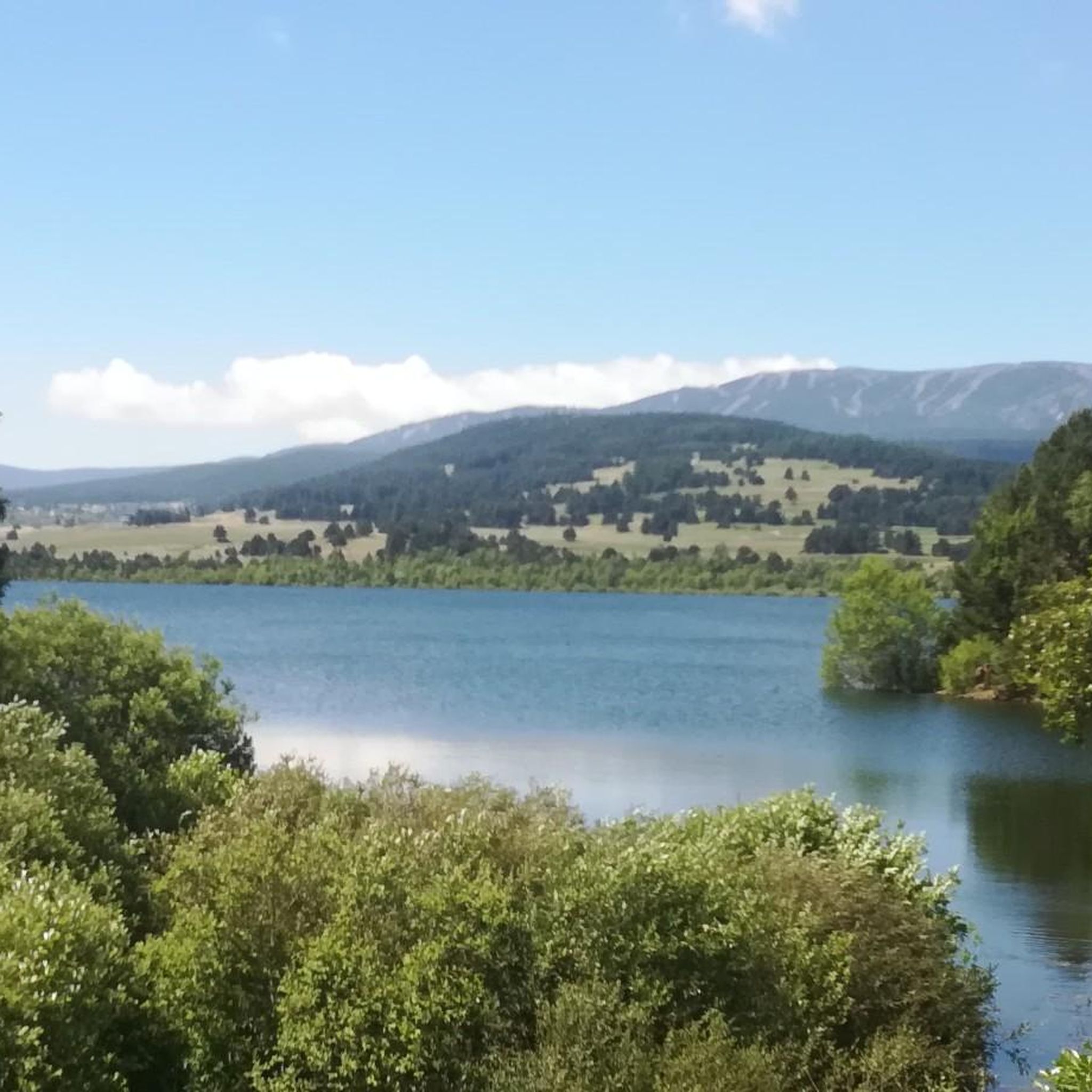
The Puyvalador dam is 160 meters long and 39 meters high. This concrete structure is used to regulate the waters of the Aude river to produce electricity. From the dam, the view is exceptional.
0
0

Like the reflection of the sun on water, your eyes will sparkle with a thousand lights. A magnificent place, let's protect and share it
0
0

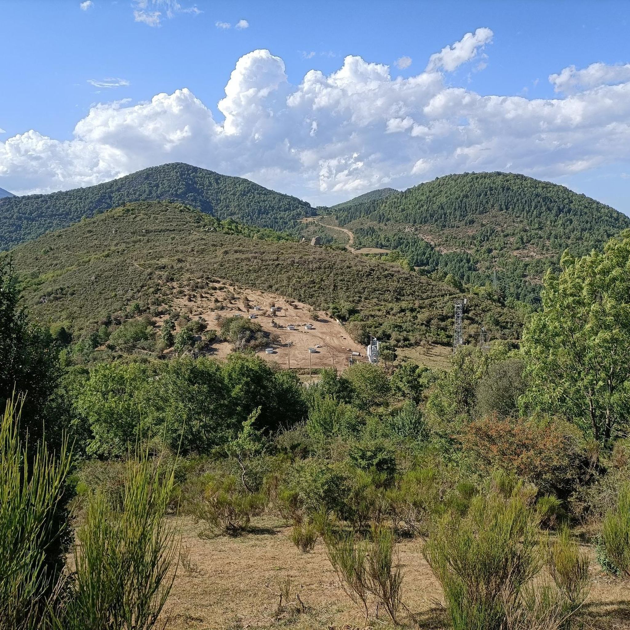
The Oller refuge (not guarded) is located halfway up the Pic de Madrès from Odeillo. From this point, you will have privileged views over places such as Puyvalador and its lake, the old station and the Pic de Ginèvre area, the Llissa Cremada, etc. As for the shelter, it is not very big but it is very pleasant and well equipped. It has bunk beds for four people, a stove and firewood, some books, maps...
0
0
The Oller refuge (not guarded) is located halfway up the Pic de Madrès from Odeillo. From this point, you will have privileged views over places such as Puyvalador and its lake, the old station and the Pic de Ginèvre area, the Llissa Cremada, etc. As for the shelter, it is not very big but it is very pleasant and well equipped. It has bunk beds for four people, a stove and firewood, some books, maps...
1
0
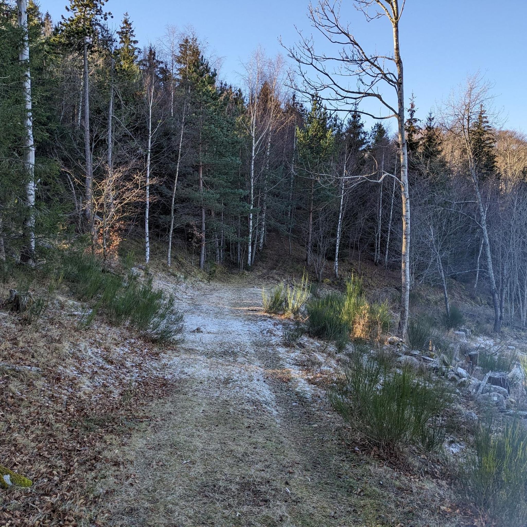
It is said that water from this small artificial lake was used for the ski slope when it was still in operation. In winter, it usually freezes, creating a beautiful scene with the surrounding snow-covered trees. Swimming is not allowed.
1
0

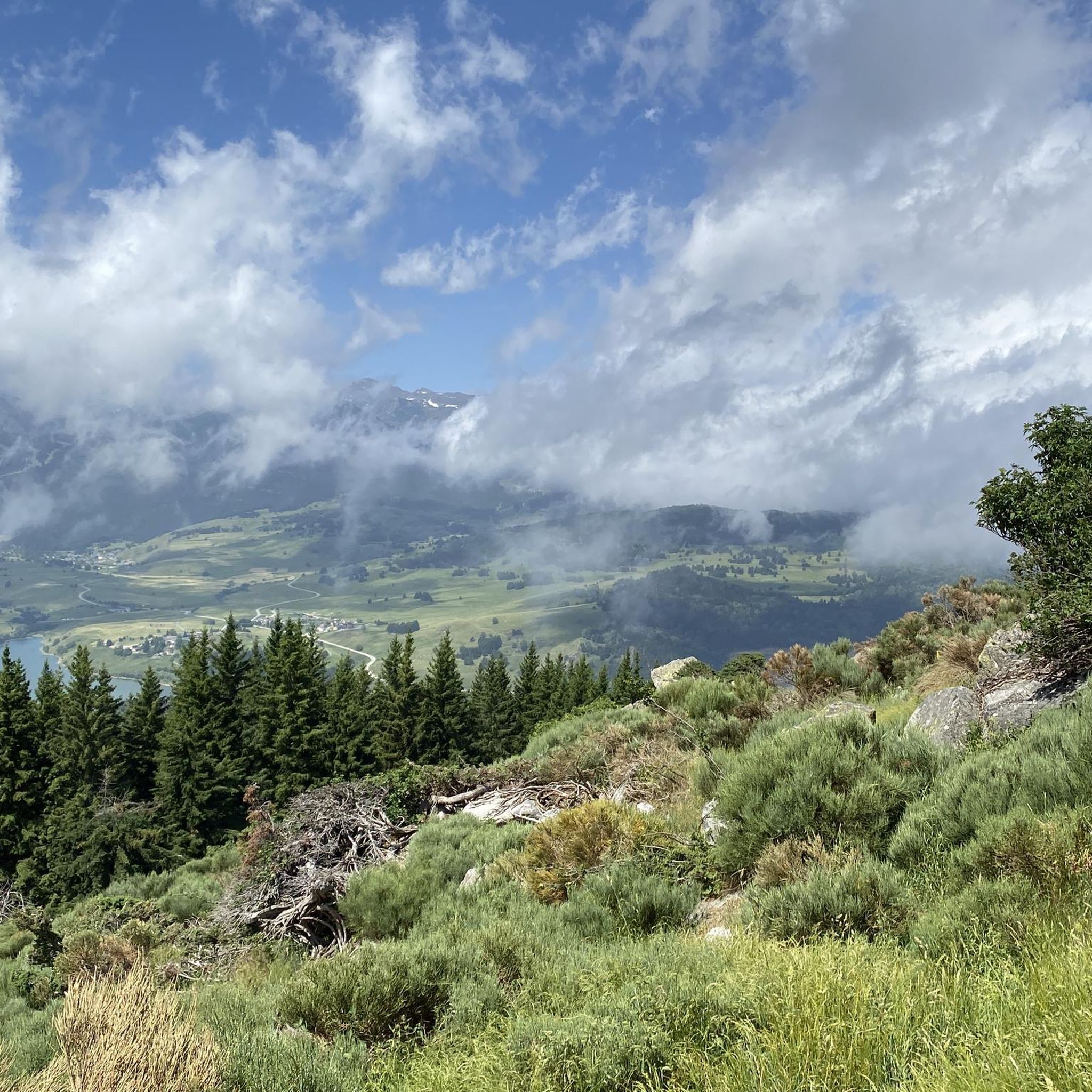
Located at an altitude of 1,936 m, at the foot of the Roc Blanc, the Laurenti pond is in itself an objective for a family hike.
0
0

great hiking destination also suitable for camping
0
0
Frequently Asked Questions
How many running routes are available around Carcanières?
There are 29 dedicated running routes around Carcanières, offering a wide range of options for different fitness levels. These include 1 easy, 14 moderate, and 14 difficult trails, ensuring there's something for everyone.
Are there any easy or beginner-friendly jogging routes in Carcanières?
Yes, while many routes in Carcanières offer challenging mountainous terrain, there is at least 1 easy route available. Additionally, the broader region, such as trails around Foix, provides paths that are mostly paved and suitable for beginners. For a moderate option, consider the Running loop from Station de Puyvalador, which is 4.2 km long.
What kind of landscapes can I expect on the running trails in Carcanières?
Jogging routes in Carcanières traverse a diverse natural environment within the Ariège Pyrenees. You can expect mountainous terrain with varied altitudes, lush forests, beautiful summer meadows, and refreshing rivers. The region is part of the well-preserved Ariège Pyrenees Regional Natural Park, offering rich biodiversity and scenic backdrops.
Are there any circular running routes in the Carcanières area?
Yes, many of the running routes around Carcanières are designed as loops. For example, you can explore the challenging Laurenti Pond loop from Étang de Laurenti, a 6.1 km path, or the longer Pastoral Zone loop from Puyvalador, which is 16.0 km.
What are some notable landmarks or attractions I might see while running near Carcanières?
The region around Carcanières is rich in natural beauty and points of interest. You might encounter stunning mountain passes like Pailhères Pass or Col du Garavel (1256 m). Other attractions include the Mijanès Pastoral Refuge and the village of Mijanès, offering glimpses into the local culture and landscape.
What do other runners say about the trails in Carcanières?
The running routes in Carcanières are highly regarded by the komoot community, holding an impressive average rating of 5.0 stars from 4 reviews. Over 740 runners have used komoot to explore the varied terrain, often praising the challenging yet rewarding experiences and the stunning natural beauty of the Ariège Pyrenees.
Are there any long-distance running options for experienced trail runners?
Absolutely. Carcanières offers several challenging routes for experienced trail runners. The Étang de Laurenti – Le Roc Blanc loop from Étang de Laurenti is a difficult 10.9 km trail with significant elevation changes, taking over two hours to complete. Another option is the Puyvalador Dam – Pastoral Zone loop from Puyvalador, a 14.4 km difficult route.
What is the best time of year for jogging in Carcanières?
The Ariège Pyrenees, where Carcanières is located, offers beautiful summer meadows, suggesting that spring, summer, and early autumn are ideal for jogging. During these seasons, you can enjoy the lush forests and varied landscapes. Winter might offer opportunities for snow-covered trail running, but some routes may be more challenging due to conditions.
Is Carcanières suitable for trail running, given its mountainous terrain?
Yes, Carcanières is an excellent destination for trail running. Its location within the Ariège Pyrenees means you'll find mountainous terrain with varied altitudes and significant elevation gains, perfect for challenging trail runs. The nearby Couserans region even boasts a 'trail stadium,' indicating a strong infrastructure for the sport.
Are there opportunities to combine jogging with exploring natural parks?
Definitely. Carcanières is nestled within or near the Regional Natural Park of the Catalan Pyrenees and the Ariège Pyrenees Regional Natural Park. These parks ensure well-preserved natural spaces with rich biodiversity, offering extensive networks of trails suitable for jogging while immersing yourself in nature. You can learn more about the Ariège Pyrenees Regional Natural Park here.
What are the typical durations for running routes in Carcanières?
The running routes around Carcanières vary in length and difficulty, leading to different completion times. Shorter, moderate routes like the Running loop from Station de Puyvalador can be completed in about 37 minutes. Longer, more difficult trails, such as the Étang de Laurenti – Le Roc Blanc loop from Étang de Laurenti, typically take around 2 hours and 23 minutes.
Most popular routes around Carcanières
Most popular attractions around Carcanières

Get inspired with the komoot mobile app


Explore more
Browse the best Running Trails & Routes in other regions.
