The best running trails around Saint-Éloy-La-Glacière
96
runners
33
runs
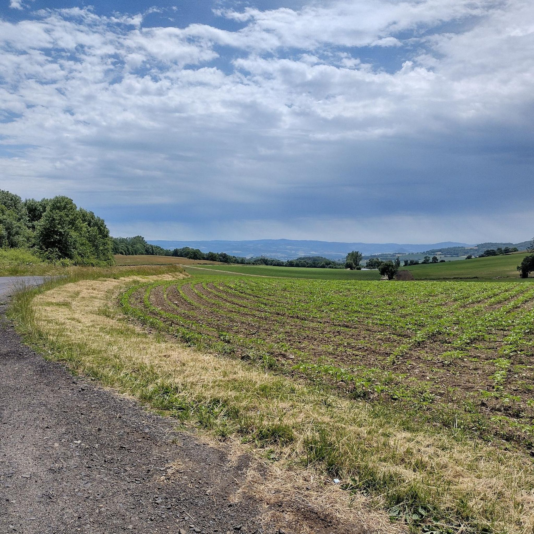
Jogging routes around Saint-Éloy-La-Glacière are set within France's Puy-de-Dôme department, part of the Auvergne-Rhône-Alpes region and the Parc naturel régional Livradois-Forez. The area features varied terrain with elevations ranging from 854 to 1,118 meters, offering a mix of uphill sections and gentler slopes. Over 77% of the commune is covered by forests, complemented by prairies and shrubby vegetation, providing diverse natural environments for running. These landscapes offer shaded paths and open views across the countryside.
Best jogging routes around Saint-Éloy-La-Glacière
…Last updated: July 7, 2026
5
runners
5.62km
00:41
100m
100m
Moderate run. Good fitness required. Mostly paved surfaces. Suitable for all skill levels.
4
runners
11.7km
01:23
270m
270m
Moderate run. Good fitness required. Mostly paved surfaces. Suitable for all skill levels.

Sign up for free
3
runners
13.0km
01:35
430m
440m
Hard run. Very good fitness required. Mostly paved surfaces. Suitable for all skill levels.
5
runners
11.5km
01:25
300m
300m
Hard run. Very good fitness required. Mostly paved surfaces. Suitable for all skill levels.
4
runners
6.69km
00:49
130m
130m
Moderate run. Good fitness required. Mostly paved surfaces. Suitable for all skill levels.
Get access to more routes and recommendations from other explorers.
Sign up for free
Already have an account?
Our route recommendations are based on thousands of hikes, rides, and runs completed by other people on komoot.
Start today with a free account
Your next adventure awaits.
Login or Signup


Tips from the Community

Beautiful church in the village square
0
0
Frequently Asked Questions
How many running routes are available in Saint-Éloy-La-Glacière?
There are over 25 recorded running routes around Saint-Éloy-La-Glacière on komoot, offering a diverse range of options for joggers. These routes explore the varied terrain of the Parc naturel régional Livradois-Forez.
What kind of terrain can I expect on the running trails around Saint-Éloy-La-Glacière?
Jogging routes in Saint-Éloy-La-Glacière feature a stimulating mix of terrains. You'll find paths through dense forests, open prairies, and areas with shrubby vegetation. The region's elevation, ranging from 854 to 1,118 meters, means you can expect both uphill challenges and gentler slopes, providing diverse running experiences.
Are there running options for different fitness levels?
Yes, the area caters to various fitness levels. While there are no routes specifically graded as 'easy', you'll find 20 moderate running trails that are suitable for most joggers, and 8 difficult routes for those seeking a greater challenge. For example, the Running loop from Fournols is a moderate option, while the Chemin de Ronde Trail offers a more demanding experience.
Can I find circular jogging paths in Saint-Éloy-La-Glacière?
Many of the running routes in the region are designed as loops, allowing you to start and finish at the same point. Examples include the Running loop from Cunlhat and the Running loop from Échandelys, which are popular choices for their convenience and scenic views.
What are some challenging running trails in the area?
For experienced runners looking for a challenge, Saint-Éloy-La-Glacière offers several difficult routes. The Chemin de Ronde Trail is a notable example, spanning 18.2 miles (29.4 km) with significant elevation gain through forested areas. Another challenging option is the Running loop from Saint-Amant-Roche-Savine, featuring substantial ascents and descents.
Are there any scenic viewpoints along the running routes?
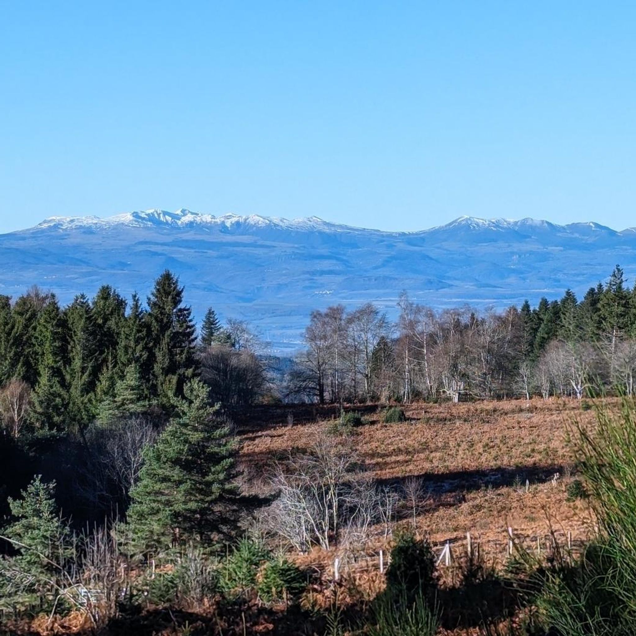
Yes, the varied topography of Saint-Éloy-La-Glacière, with elevations up to 1,118 meters, provides numerous opportunities for scenic views. While jogging, you might encounter natural viewpoints such as Fourches Pass - 970 m or the Deux Frères Viewpoint, offering panoramic vistas of the surrounding countryside and the Parc naturel régional Livradois-Forez.
What do other runners enjoy most about jogging in Saint-Éloy-La-Glacière?
The komoot community frequently praises the serene environment and diverse natural beauty of Saint-Éloy-La-Glacière. Runners particularly appreciate the extensive forest coverage, which provides shaded paths and fresh air, as well as the varied elevations that offer both challenging climbs and rewarding views across the Auvergne-Rhône-Alpes region.
Is Saint-Éloy-La-Glacière suitable for family-friendly jogging?
While there are no routes specifically designated as 'easy' in the data, many of the moderate loops, such as the Running loop from Fournols, are shorter and feature less extreme elevation changes, making them potentially suitable for families looking for a gentle run or walk together. Always check the route details for distance and elevation to ensure it matches your family's capabilities.
Are there any specific landmarks or points of interest to see while running?
Beyond the natural beauty, you can discover several points of interest. Notable spots include the Fourches Pass - 970 m and the Deux Frères Viewpoint, both offering stunning vistas. You might also encounter the The Virgin of Monestier, adding a cultural touch to your outdoor adventure.
What is the best time of year to go running in Saint-Éloy-La-Glacière?
The region's extensive forest coverage (77.1%) makes it appealing for running throughout much of the year. Spring and autumn offer pleasant temperatures and vibrant scenery. Summer provides shaded paths, which are ideal for warmer days. While winter running is possible, conditions may vary, so checking local weather and trail conditions is always recommended.
Are there any long-distance running trails near Saint-Éloy-La-Glacière?
Yes, for those seeking longer runs, the area provides options like the Chemin de Ronde Trail, which is 18.2 miles (29.4 km) long. These longer routes allow you to immerse yourself more deeply in the diverse landscapes of the Parc naturel régional Livradois-Forez.
Most popular routes around Saint-Éloy-La-Glacière
Most popular attractions around Saint-Éloy-La-Glacière

Get inspired with the komoot mobile app


Explore more
Browse the best Running Trails & Routes in other regions.
