The best walks and hikes around Saint-Éloy-La-Glacière
4.7
(122)
444
hikers
60
hikes
Hiking around Saint-Éloy-La-Glacière offers access to varied terrain within the Parc naturel régional Livradois-Forez. The region is characterized by rolling hills, dense forests, and valleys, with elevations ranging from 854 to 1,118 meters. This topography provides diverse hiking opportunities across the Livradois plateau.
Best hiking trails around Saint-Éloy-La-Glacière
- The most popular hiking route is Les Pierres Folles – La Pierre du Lit loop from Fournols, an easy 3.7 miles (5.9 km) trail that takes 1 hour 37 minutes to…
Last updated: July 13, 2026
4.2
(5)
38
hikers
5.87km
01:37
100m
100m
Easy hike. Great for any fitness level. Easily-accessible paths. Suitable for all skill levels.
5.0
(2)
20
hikers
10.9km
03:04
230m
230m
Moderate hike. Good fitness required. Easily-accessible paths. Suitable for all skill levels.

Sign up for free
4.7
(3)
10
hikers
4.20km
01:19
170m
160m
Easy hike. Great for any fitness level. Easily-accessible paths. Suitable for all skill levels.
4.9
(16)
59
hikers
17.9km
04:59
340m
340m
Moderate hike. Good fitness required. Easily-accessible paths. Suitable for all skill levels.
4.9
(8)
10
hikers
7.43km
02:03
120m
120m
Moderate hike. Good fitness required. Easily-accessible paths. Suitable for all skill levels.
Get access to more routes and recommendations from other explorers.
Sign up for free
Already have an account?
Our route recommendations are based on thousands of hikes, rides, and runs completed by other people on komoot.
Start today with a free account
Your next adventure awaits.
Login or Signup


Tips from the Community


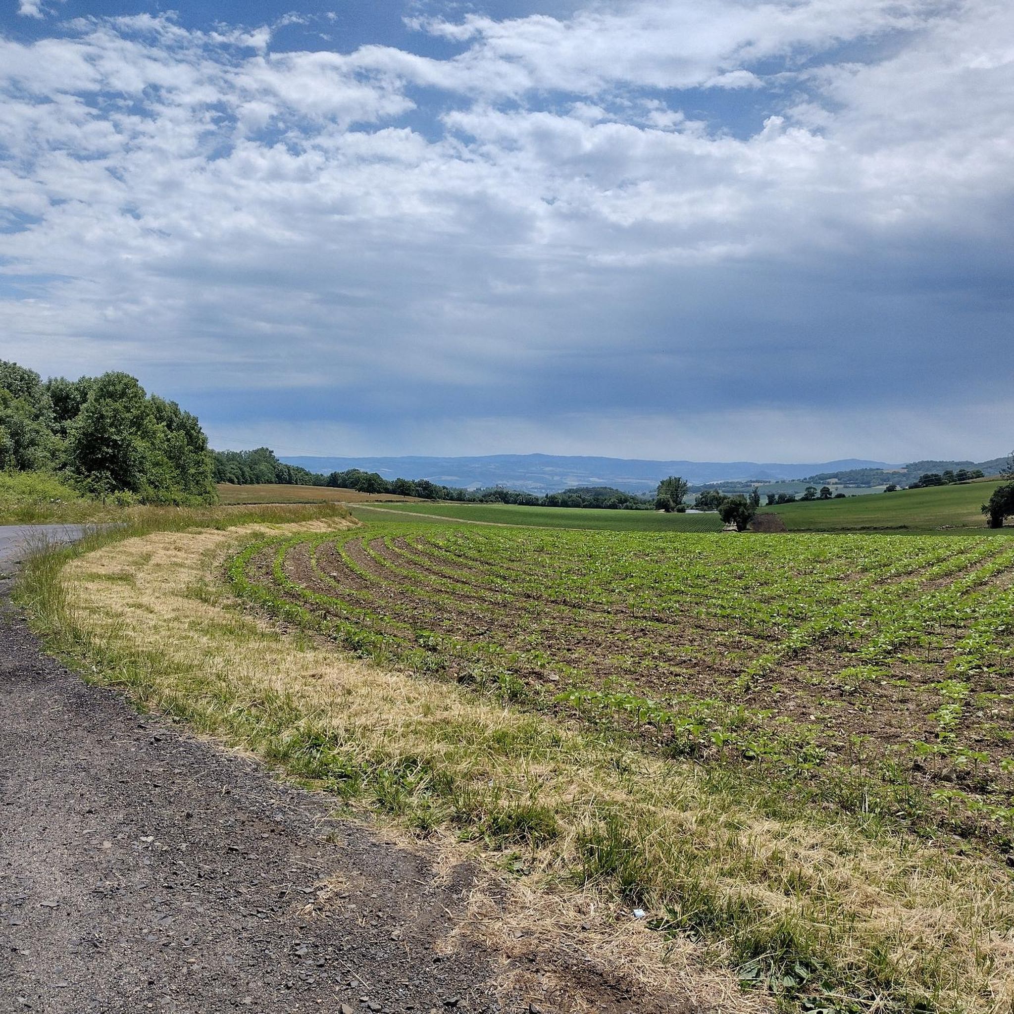
If you sit here, enjoy the view and the peace and quiet.
0
0
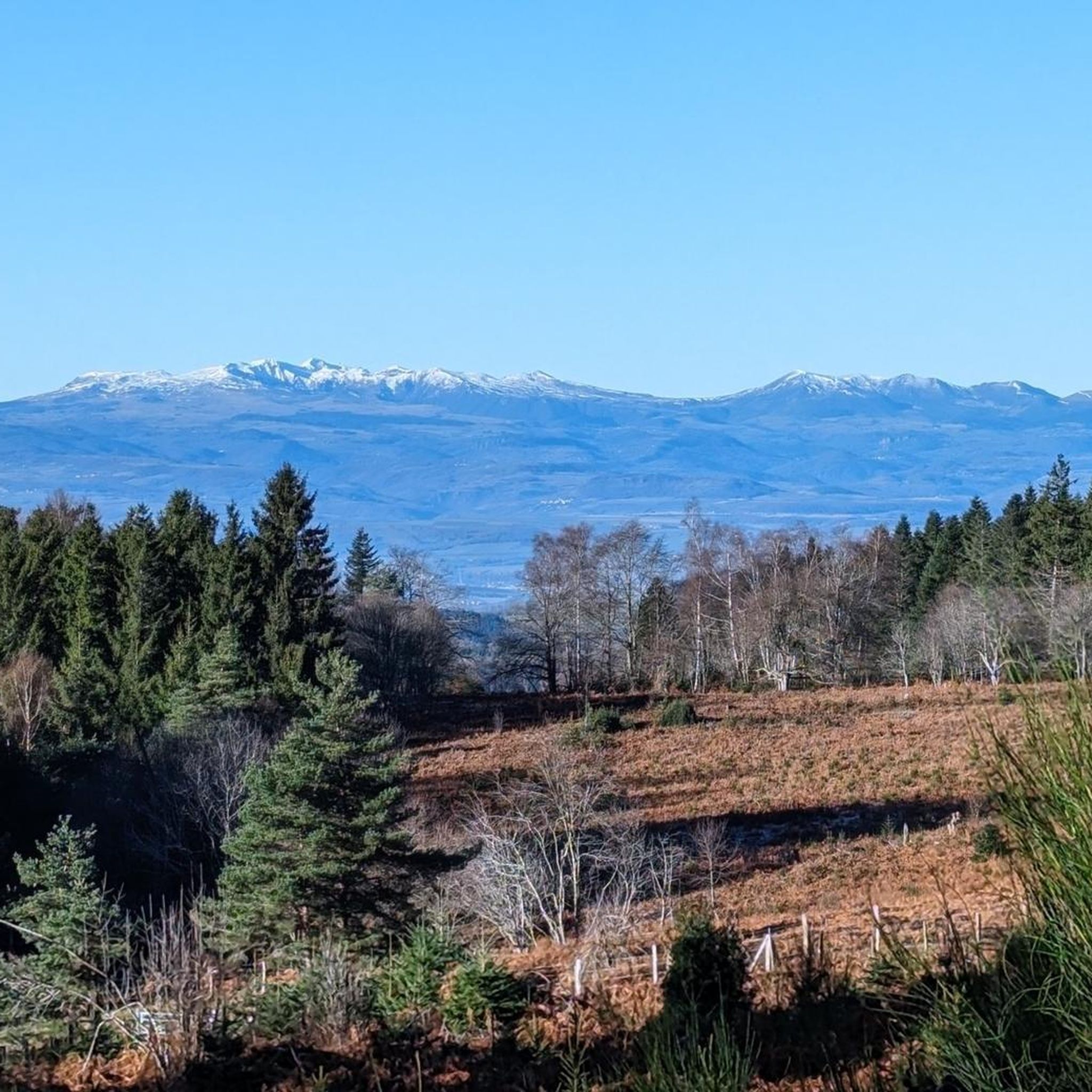
Walking around Echandelys is walking in peace. The air is clean, in the forests you can find beard mosses, and every now and then, in clear weather, you can see the Massif Central from a viewpoint.
0
0
Frequently Asked Questions
How many hiking trails are available in Saint-Éloy-La-Glacière?
There are over 60 hiking trails around Saint-Éloy-La-Glacière, offering a wide range of options for different skill levels and preferences.
What kind of terrain can I expect on hikes around Saint-Éloy-La-Glacière?
The region, part of the Parc naturel régional Livradois-Forez, features diverse terrain including rolling hills, dense forests, and valleys. Elevations range from 854 to 1,118 meters, providing varied topography across the Livradois plateau.
Are there any easy hiking routes suitable for beginners or families?
Yes, Saint-Éloy-La-Glacière offers 22 easy hiking routes. A great option is the Les Pierres Folles – La Pierre du Lit loop from Fournols, which is 5.9 km long and takes about 1 hour 37 minutes to complete, navigating through local countryside.
What are some notable natural features or viewpoints to discover?
You can explore several natural landmarks and viewpoints. The Deux Frères Viewpoint offers expansive vistas, and the Fourches Pass - 970 m is another significant point of interest. The wider Auvergne region also features volcanic landscapes and crater lakes like Lake Pavin and Lake Montcineyre.
Are there any circular hiking routes in the area?
Yes, many routes in Saint-Éloy-La-Glacière are circular. For example, the Fournols loop from Fournols is a moderate 10.9 km path featuring varied topography and forest sections. Another option is the longer Les deux Fréres – Chateau La Cibeaudie loop from Saint-Éloy-la-Glacière, which is 17.9 km.
What do other hikers enjoy most about hiking in Saint-Éloy-La-Glacière?
The hiking routes in Saint-Éloy-La-Glacière are highly rated by the komoot community, with an average score of 4.8 stars from over 100 reviews. Hikers often praise the varied terrain, the preserved natural environments of the Livradois-Forez Regional Natural Park, and the comprehensive experience of the area's natural features.
Are there any historical or cultural landmarks along the trails?
The village of Saint-Éloy-La-Glacière itself boasts a small Romanesque church, fountains, and crosses that are part of its cultural heritage. Some routes also utilize ancient communication paths, such as "le chemin vieux," a medieval route connecting Meymont to Cunlhat.
Is there public transport available to reach the trailheads?
While Saint-Éloy-La-Glacière is nestled in a natural park, public transport options directly to all trailheads may be limited. It is advisable to check local transport schedules or consider personal vehicle access for greater flexibility in reaching various starting points.
Where can I find parking for hiking trails?
Specific parking information varies by trailhead. Many routes, especially those starting from villages like Fournols or Saint-Éloy-La-Glacière, typically have designated parking areas nearby. It's recommended to check the individual route details on komoot for precise parking suggestions.
What is the best time of year to go hiking in Saint-Éloy-La-Glacière?
The region's preserved environments and diverse ecosystems make it enjoyable for hiking throughout much of the year. Spring and autumn offer pleasant temperatures and vibrant scenery, while summer provides longer daylight hours. Winter hiking is possible, but conditions may vary, especially at higher elevations.
Are there any longer, more challenging routes for experienced hikers?
Yes, for experienced hikers, there are 5 difficult routes available. Additionally, moderate routes like the Les deux Fréres – Chateau La Cibeaudie loop from Saint-Éloy-la-Glacière, at 17.9 km with 340 meters of elevation gain, offer a substantial challenge and lead through elevated terrain and past local landmarks.
Most popular routes around Saint-Éloy-La-Glacière
Most popular attractions around Saint-Éloy-La-Glacière

Get inspired with the komoot mobile app


Explore more
Browse the best Hikes in other regions.
