The best cycling routes around Saint-Éloy-La-Glacière
4.8
(12)
129
riders
32
rides
Touring cycling routes around Saint-Éloy-La-Glacière are set within the Livradois-Forez Regional Natural Park, offering diverse landscapes for cyclists. The commune's altitude ranges from 854 to 1118 meters, indicating a hilly to mountainous terrain with varied ascents and descents. The region features forests, hills, and valleys, providing a natural backdrop for cycling. This area is characterized by its preserved natural environment and country roads.
Best touring cycling routes around Saint-Éloy-La-Glacière
- The most popular touring cycling route is Church square Cunlhat –…
Last updated: July 1, 2026
5.0
(1)
14
riders
77.9km
05:42
1,690m
1,690m
Hard bike ride. Very good fitness required. Mostly paved surfaces. Suitable for all skill levels.
5
riders
18.0km
01:10
260m
260m
Moderate bike ride. Good fitness required. Mostly paved surfaces. Suitable for all skill levels.

Sign up for free
3
riders
15.7km
01:05
280m
280m
Moderate bike ride. Good fitness required. Mostly paved surfaces. Suitable for all skill levels.
3
riders
15.8km
01:05
280m
280m
Moderate bike ride. Good fitness required. Mostly paved surfaces. Suitable for all skill levels.
5
riders
57.1km
04:03
1,130m
1,130m
Hard bike ride. Very good fitness required. Mostly paved surfaces. Suitable for all skill levels.
Get access to more routes and recommendations from other explorers.
Sign up for free
Already have an account?
Our route recommendations are based on thousands of hikes, rides, and runs completed by other people on komoot.
Start today with a free account
Your next adventure awaits.
Login or Signup


Tips from the Community

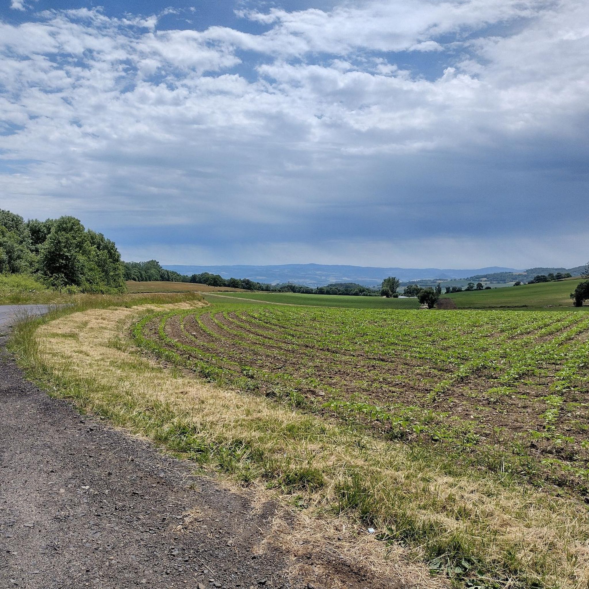
A steady, shaded climb through the Brugeron forest leads to the open, wild landscape of Hauts de Chaume, often swept by a strong breeze. More accessible than the St Pierre slope from a cycling perspective.
1
0
A mountain village nestled at the foot of Pierre-Sur-Hâute. It's a crossroads that provides access to the Béal and Chansert mountain passes. Built on the Forezian mountainside, this village is sure to charm visitors with its typical architecture. But above all, it's the natural splendors of the landscape surrounding this village that make it worth the detour.
1
0
One of the natural icons of Livradois-Forez, not to be missed! A wild spectacle of great beauty 😍. On the other hand, by bike, it's worth it.😜
1
0
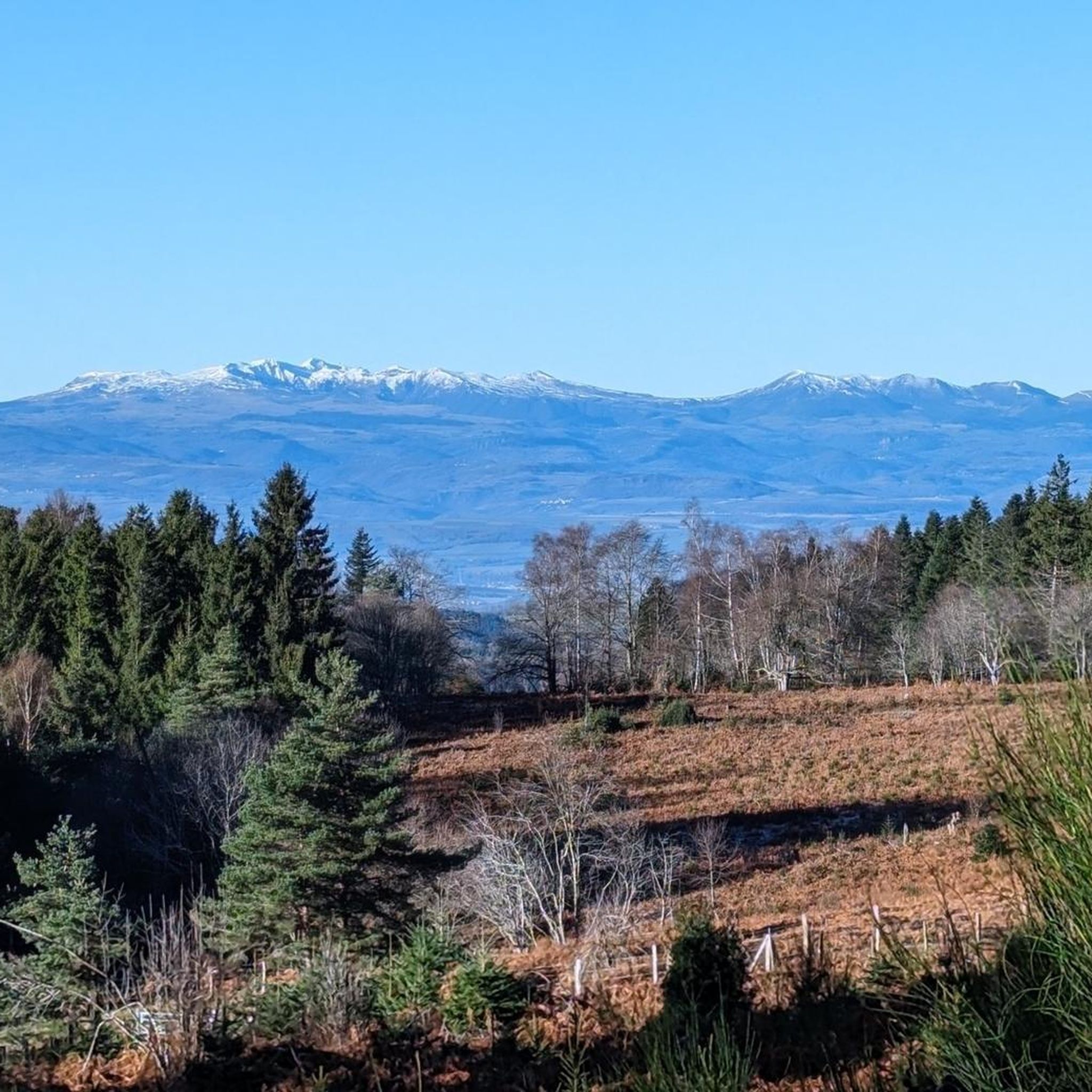
A breathtaking view that is worth the effort and wild landscapes! What a natural spectacle, wow! Undeniably one of the places not to be missed in Auvergne.
1
0
Charming mountain village with a lovely view of the surrounding hills.
0
0

Small pass in the heart of Livradois, at an altitude of 1061 m, between St-Amand-Roche-Savine and Fournols
0
0
Picturesque medieval village with splendid landscapes!
1
0

A must see for all the view over the valley, beautiful
0
0
Frequently Asked Questions
How many touring cycling routes are available around Saint-Éloy-La-Glacière?
There are over 30 touring cycling routes around Saint-Éloy-La-Glacière. These routes are set within the diverse landscapes of the Livradois-Forez Regional Natural Park, offering a range of experiences for cyclists.
What is the typical terrain for touring cycling in the Saint-Éloy-La-Glacière region?
The terrain around Saint-Éloy-La-Glacière is generally hilly to mountainous, with altitudes ranging from 854 to 1118 meters. You can expect varied ascents and descents through dense forests, rolling hills, and scenic valleys, characteristic of the Puy-de-Dôme area and the Livradois-Forez Regional Natural Park.
Are there touring cycling routes suitable for different skill levels?
Yes, the region offers routes for various abilities. While there are no easy routes listed, you'll find 15 moderate routes and 17 difficult routes, ensuring options for both intermediate and experienced touring cyclists looking for a challenge.
What are some longer, more challenging touring cycling routes in the area?
For those seeking a significant challenge, consider the Fournols Church – View of Fournols loop from Auzelles. This difficult route spans over 74 km (46 miles) with substantial elevation gain, offering an immersive experience through the region's demanding terrain.
Are there any circular touring cycling routes around Saint-Éloy-La-Glacière?
Many of the touring cycling routes in the area are designed as loops. For example, the popular Church square Cunlhat – Cunlhat loop from Cunlhat is a moderate 22 km (13.7 miles) circular route that navigates through the region's hilly landscape.
What natural features and scenery can I expect to see while cycling?
Cycling here offers unspoilt, breathtaking scenery within the Livradois-Forez Regional Natural Park. You'll traverse through dense forests, picturesque hills, and serene valleys. The broader Puy-de-Dôme area is also known for its stunning landscapes, including extinct volcanoes like the iconic Puy de Dôme and the Sancy Massif, which contribute to a dramatic natural backdrop.
Are there any specific viewpoints or attractions along the touring cycling routes?
Yes, the region features several points of interest. You might encounter scenic spots like the Fourches Pass - 970 m or the Deux Frères Viewpoint, offering panoramic views of the surrounding landscapes. The Toutée Pass (996 m) is another notable point.
When is the best time of year to go touring cycling in Saint-Éloy-La-Glacière?
The Puy-de-Dôme department is an enjoyable destination for cycling throughout much of the year. However, for touring cycling, spring through early autumn generally offers the most pleasant weather conditions, allowing you to fully appreciate the region's natural beauty without extreme temperatures or heavy snowfall, which can occur at higher altitudes.
What do other touring cyclists enjoy most about cycling in Saint-Éloy-La-Glacière?
The area is highly rated by the komoot community, with an average score of 4.6 stars. Reviewers often praise the diverse landscapes, the preserved natural environment of the Livradois-Forez Regional Natural Park, and the challenging yet rewarding hilly terrain that provides both scenic descents and climbs.
Are there family-friendly touring cycling options in the area?
While many routes feature hilly terrain and are rated moderate to difficult, families with older children or those accustomed to cycling on varied terrain may find suitable options. The region's quiet country roads and natural park setting offer a peaceful environment for cycling, though specific 'easy' family routes are not highlighted in the data.
Can I bring my dog on these cycling routes?
The Livradois-Forez Regional Natural Park is a protected natural environment. While many outdoor activities are dog-friendly, it's always recommended to keep dogs on a leash to protect local wildlife and ensure their safety, especially on shared paths. Check specific route details for any restrictions.
What is the average length and duration of touring cycling routes here?
The routes vary significantly in length and duration. For instance, a moderate route like the Fournols Church – Beautiful view loop from Fournols is about 15.7 km (9.7 miles) and takes approximately 1 hour 4 minutes. Longer, more difficult routes can extend over 70 km (43 miles) and take several hours to complete.
Are there opportunities to spot wildlife while cycling?
Cycling through the Livradois-Forez Regional Natural Park offers a chance to discover rich flora and fauna. The preserved natural environment means you may spot local wildlife such as hares, deer, or foxes, especially during quieter times of day or in less frequented areas.
Most popular routes around Saint-Éloy-La-Glacière
Most popular attractions around Saint-Éloy-La-Glacière

Get inspired with the komoot mobile app


Explore more
Browse the best Cycling routes in other regions.
