Bachsystem Der Streu Mit Nebengewässern
Bachsystem Der Streu Mit Nebengewässern
The best gravel rides in Bachsystem Der Streu Mit Nebengewässern
4.5
(23)
115
riders
51
rides
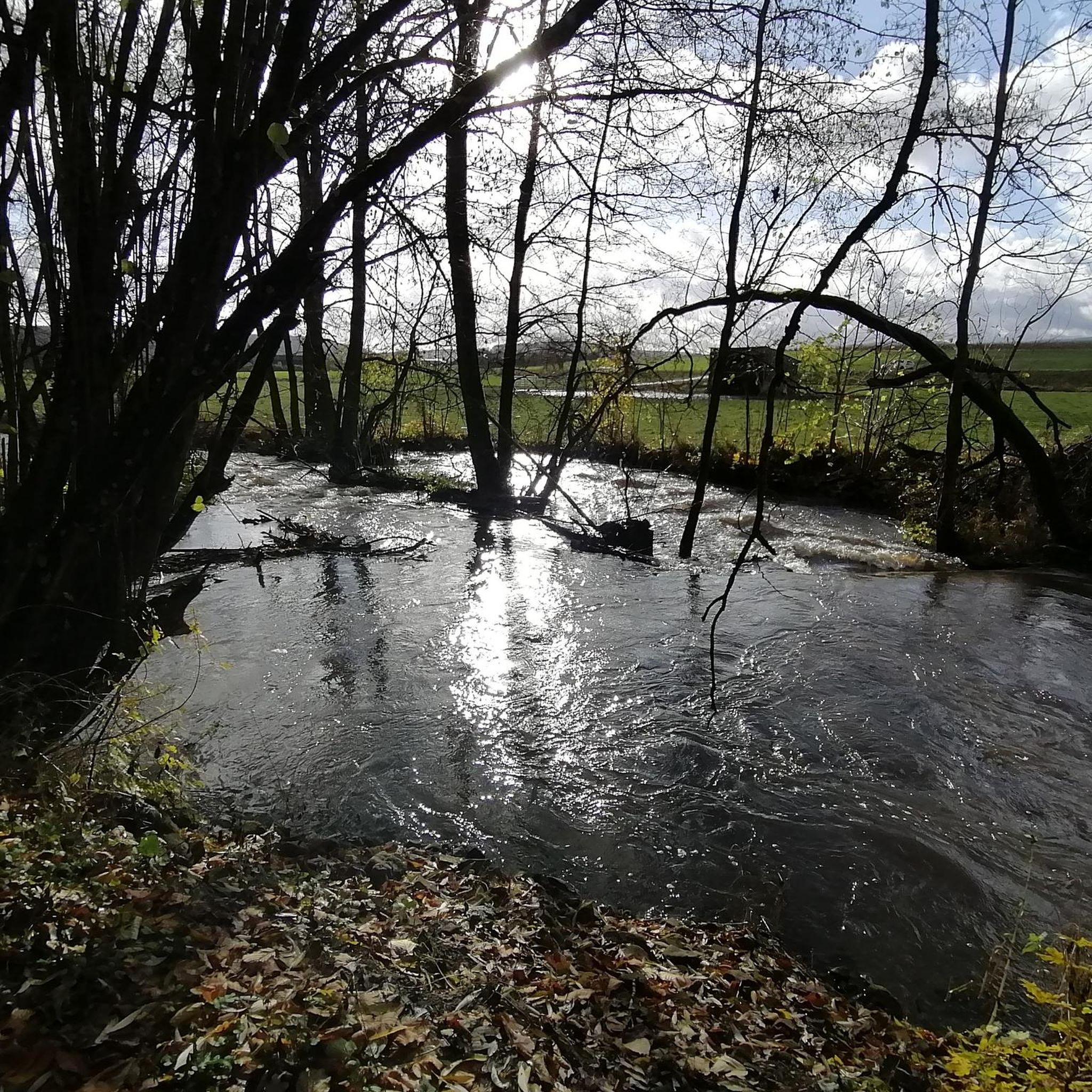
Gravel biking in Bachsystem Der Streu Mit Nebengewässern offers diverse terrain within an FFH-Gebiet, characterized by natural stream systems and varied landscapes. The region is centered around the Streu River and its tributaries, providing scenic corridors for routes. Riders can expect a mix of unpaved roads, forest paths, and country lanes, with undulating terrain typical of the Rhön region. Elevations range from approximately 750 feet (230 meters) to 2,230 feet (680 meters), offering both ascents and descents.
Best gravel bike…
Last updated: July 3, 2026
4.7
(3)
15
riders
37.2km
02:54
610m
610m
Hard gravel ride. Very good fitness required. Mostly paved surfaces. Suitable for all skill levels.
5.0
(4)
13
riders
30.8km
01:47
320m
320m
Moderate gravel ride. Good fitness required. Mostly paved surfaces. Suitable for all skill levels.

Sign up for free
10
riders
Moderate gravel ride. Good fitness required. Mostly paved surfaces. Suitable for all skill levels.
5.0
(1)
5
riders
Moderate gravel ride. Good fitness required. Mostly paved surfaces. Suitable for all skill levels.
4.5
(2)
5
riders
58.4km
03:26
500m
500m
Hard gravel ride. Very good fitness required. Mostly paved surfaces. Suitable for all skill levels.
Get access to more routes and recommendations from other explorers.
Sign up for free
Already have an account?
Our route recommendations are based on thousands of hikes, rides, and runs completed by other people on komoot.
Start today with a free account
Your next adventure awaits.
Login or Signup
Popular around Bachsystem Der Streu Mit Nebengewässern

Extra tours South - Excellent premium hiking trails of the Rhön

Wonderful Green Band

Discover the Green Belt in the Rhön with BUND

Rundwanderwege um Oberelsbach
Hiking in Bachsystem Der Streu Mit Nebengewässern
Cycling in Bachsystem Der Streu Mit Nebengewässern
Road Cycling Routes in Bachsystem Der Streu Mit Nebengewässern
MTB Trails in Bachsystem Der Streu Mit Nebengewässern
Running Trails in Bachsystem Der Streu Mit Nebengewässern

Mountain Hikes in Bachsystem Der Streu Mit Nebengewässern
Other adventures in Bachsystem Der Streu Mit Nebengewässern


Tips from the Community

A nice little bridge here.
0
0

Absolutely the best bratwurst in the area. Price stable at 3.50, so it tastes even better.
0
0

The best Thuringian food "outside" of Thuringia :-)
0
0
It's beautiful at the Streu. Great for a short relaxing walk
0
0
Always beautiful and full of memories...
0
0

A very beautiful, old and idyllic bridge over the Saale River. I love these types of bridges, so it's a lovely highlight.
2
0
Very idyllic bridge, a few ducklings on the left and right, it's worth stopping by here.
2
0

very well laid out, interesting behind the gardens
0
0
Frequently Asked Questions
How many gravel bike trails are available in Bachsystem Der Streu Mit Nebengewässern?
The Bachsystem Der Streu Mit Nebengewässern region offers a wide selection of gravel biking routes, with over 130 trails to explore. These range from easy riverside paths to more challenging ascents through the Rhön region.
What kind of terrain can I expect on gravel bike trails in Bachsystem Der Streu Mit Nebengewässern?
You can expect a diverse mix of surfaces, ideal for gravel biking. The trails combine unpaved roads, forest paths, and country lanes. The region, part of the Rhön-Grabfeld district, also features undulating and sometimes hilly terrain, especially away from the river valleys.
Are there gravel bike trails suitable for beginners or families in this region?
Yes, there are options for all skill levels. While many routes are moderate or difficult, there are a few easier trails perfect for beginners or family outings. These often follow the flatter sections along the Streu River, offering a gentle introduction to gravel biking in the area.
What natural features or landmarks can I see along the gravel bike trails?
The region is rich in natural beauty and historical sites. You can encounter various natural monuments like the Linden Trees at the Old Chapel or the Winter Lime Tree of Geckenau. The Streu River itself is a central feature, and you might pass by the historic Gate Bridge in Ostheim vor der Rhön or the impressive Unsleben Moated Castle.
Are there any loop trails for gravel biking in the area?
Yes, many of the gravel routes in Bachsystem Der Streu Mit Nebengewässern are designed as loops, allowing you to start and end at the same point. An example is the Streutalbahn Railway Path – Rhön-Zügle Heritage Railway loop from Oberfladungen, which offers a moderate 30.6 km ride.
What are some options for longer or more challenging gravel rides?
For those seeking a greater challenge, the region offers numerous difficult routes. A notable option is the Streu River Trail – Saale Bridge, Hollstadt loop from Mellrichstadt Bf, a 63.9 km trail with significant elevation gain, typically taking over 4.5 hours to complete.
What is the best time of year for gravel biking in Bachsystem Der Streu Mit Nebengewässern?
The spring, summer, and autumn months generally offer the best conditions for gravel biking. Spring brings blooming landscapes, summer provides warm weather, and autumn showcases vibrant foliage. While winter riding is possible, be prepared for colder temperatures and potentially muddy or icy conditions on unpaved paths.
Are there places to eat or get refreshments near the gravel trails?
Yes, the towns and villages along the Streu River and its tributaries, such as Mellrichstadt and Ostheim vor der Rhön, offer various cafes, restaurants, and pubs where you can refuel and relax after your ride. Many routes pass through or near these settlements.
What do other gravel bikers say about the trails in Bachsystem Der Streu Mit Nebengewässern?
The gravel biking routes in this region are highly regarded by the komoot community, boasting an average rating of 4.7 stars from over 100 reviews. Riders frequently praise the varied terrain, the scenic beauty of the Streu River system, and the well-maintained paths that make for an enjoyable experience.
Is public transport available to reach the starting points of gravel bike trails?
Yes, some starting points, like Mellrichstadt Bf (Bahnhof), are accessible by public transport, particularly train services. This allows for convenient access to several routes, including those that follow the Streu River. It's advisable to check local train and bus schedules for specific connections to your chosen starting point.
Are there any specific cycling paths or infrastructure in the area?
Beyond the gravel paths, the region benefits from existing cycling infrastructure. The Elstal Cycle Path, for instance, is a well-developed route that, while mostly asphalted, indicates a strong cycling culture and connectivity within the broader area, complementing the gravel network.
Can I find routes that combine different types of scenery, like forests and open fields?
Absolutely. The diverse landscape of Bachsystem Der Streu Mit Nebengewässern, encompassing the FFH area and the Rhön region's characteristics, means many routes offer a mix of environments. You'll find trails winding through dense forests, opening up to expansive fields, and following the picturesque Streu River, providing constantly changing views.
Most popular routes in Bachsystem Der Streu Mit Nebengewässern
Most popular attractions in Bachsystem Der Streu Mit Nebengewässern

Get inspired with the komoot mobile app


Explore more
Browse the best Gravel rides in other regions.
