Bachsystem Der Streu Mit Nebengewässern
Bachsystem Der Streu Mit Nebengewässern
The best running trails in Bachsystem Der Streu Mit Nebengewässern
4.6
(75)
787
runners
98
runs
Jogging in Bachsystem Der Streu Mit Nebengewässern offers diverse running routes through a protected natural landscape. The region is characterized by the Streu river and its picturesque valleys, flowing through parts of the Rhön Mountains. Runners will find a varied terrain of gentle hills, dense forests, and open riverine landscapes. This area, designated as a Fauna-Flora-Habitat (FFH) area, provides a tranquil environment for outdoor exercise.
Best jogging routes in Bachsystem Der Streu Mit Nebengewässern
- The most popular jogging route is…
Last updated: July 2, 2026
4.0
(3)
40
runners
7.72km
00:53
150m
150m
Moderate run. Good fitness required. Mostly paved surfaces. Suitable for all skill levels.
5.0
(1)
48
runners
12.6km
01:20
110m
110m
Moderate run. Good fitness required. Mostly paved surfaces. Suitable for all skill levels.

Sign up for free
5.0
(1)
35
runners
Moderate run. Good fitness required. Mostly accessible paths. Some sure footedness required.
4.8
(4)
26
runners
Moderate run. Good fitness required. Mostly paved surfaces. Suitable for all skill levels.
4.8
(5)
21
runners
7.46km
00:48
70m
80m
Moderate run. Good fitness required. Mostly paved surfaces. Suitable for all skill levels.
Get access to more routes and recommendations from other explorers.
Sign up for free
Already have an account?
Our route recommendations are based on thousands of hikes, rides, and runs completed by other people on komoot.
Start today with a free account
Your next adventure awaits.
Login or Signup
Popular around Bachsystem Der Streu Mit Nebengewässern

Extra tours South - Excellent premium hiking trails of the Rhön

Wonderful Green Band

Discover the Green Belt in the Rhön with BUND

Rundwanderwege um Oberelsbach
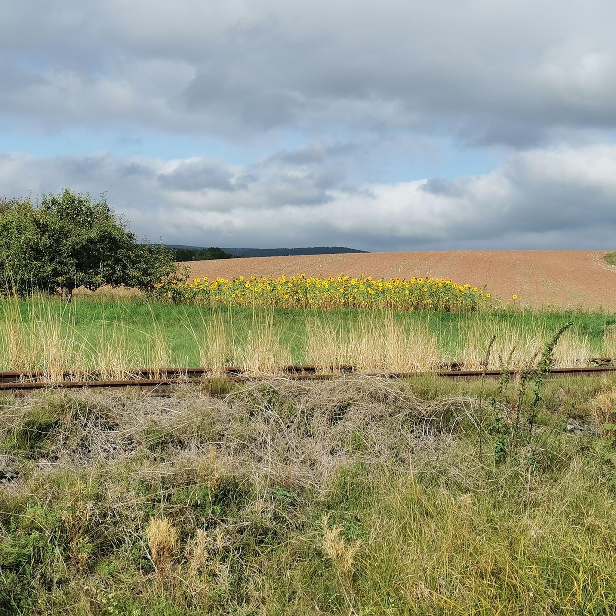
Hiking in Bachsystem Der Streu Mit Nebengewässern
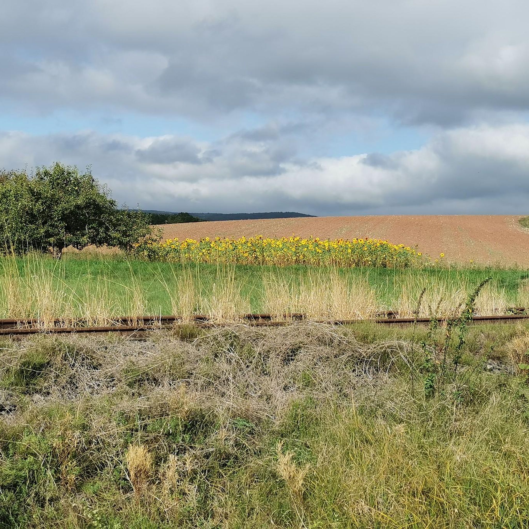
Cycling in Bachsystem Der Streu Mit Nebengewässern
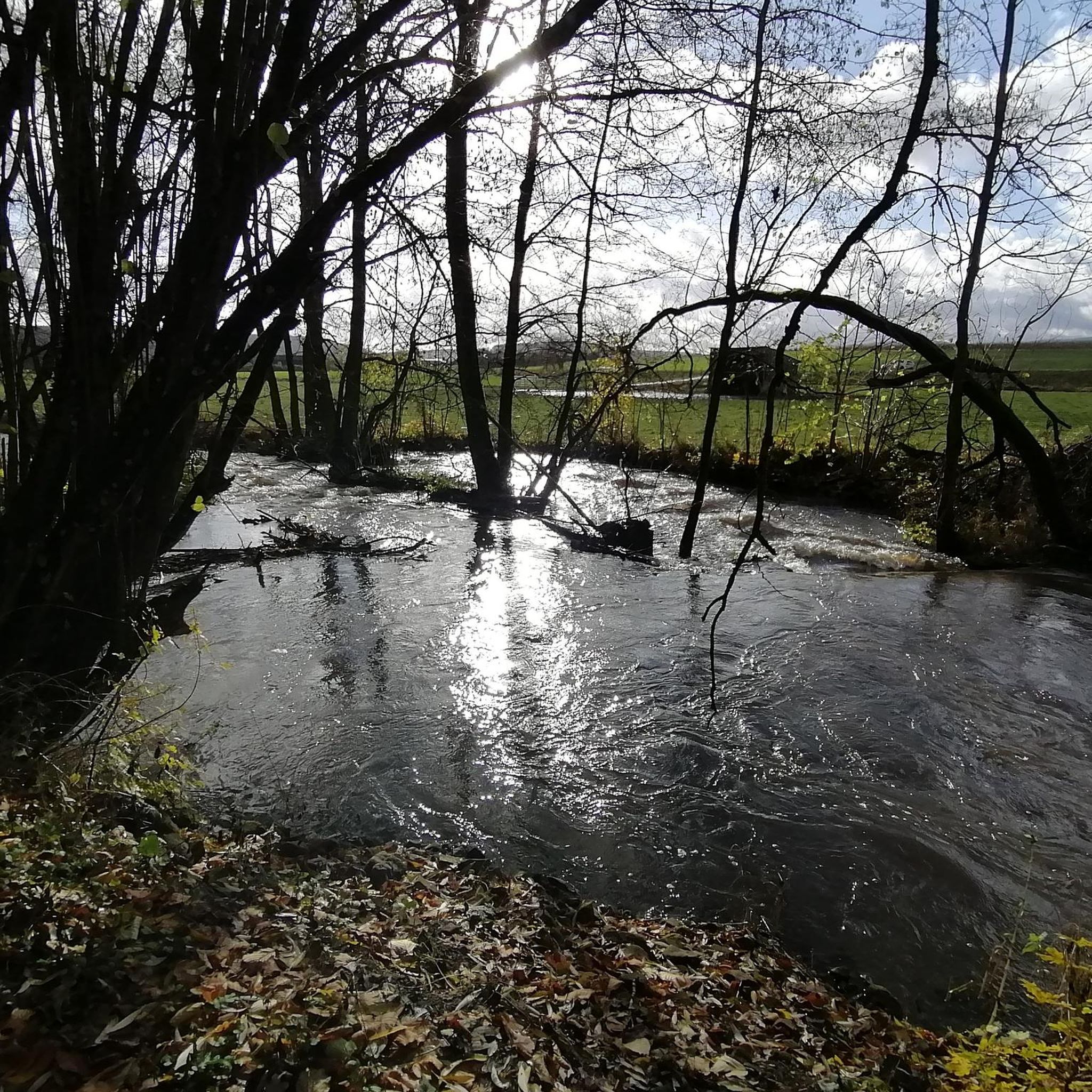
Road Cycling Routes in Bachsystem Der Streu Mit Nebengewässern
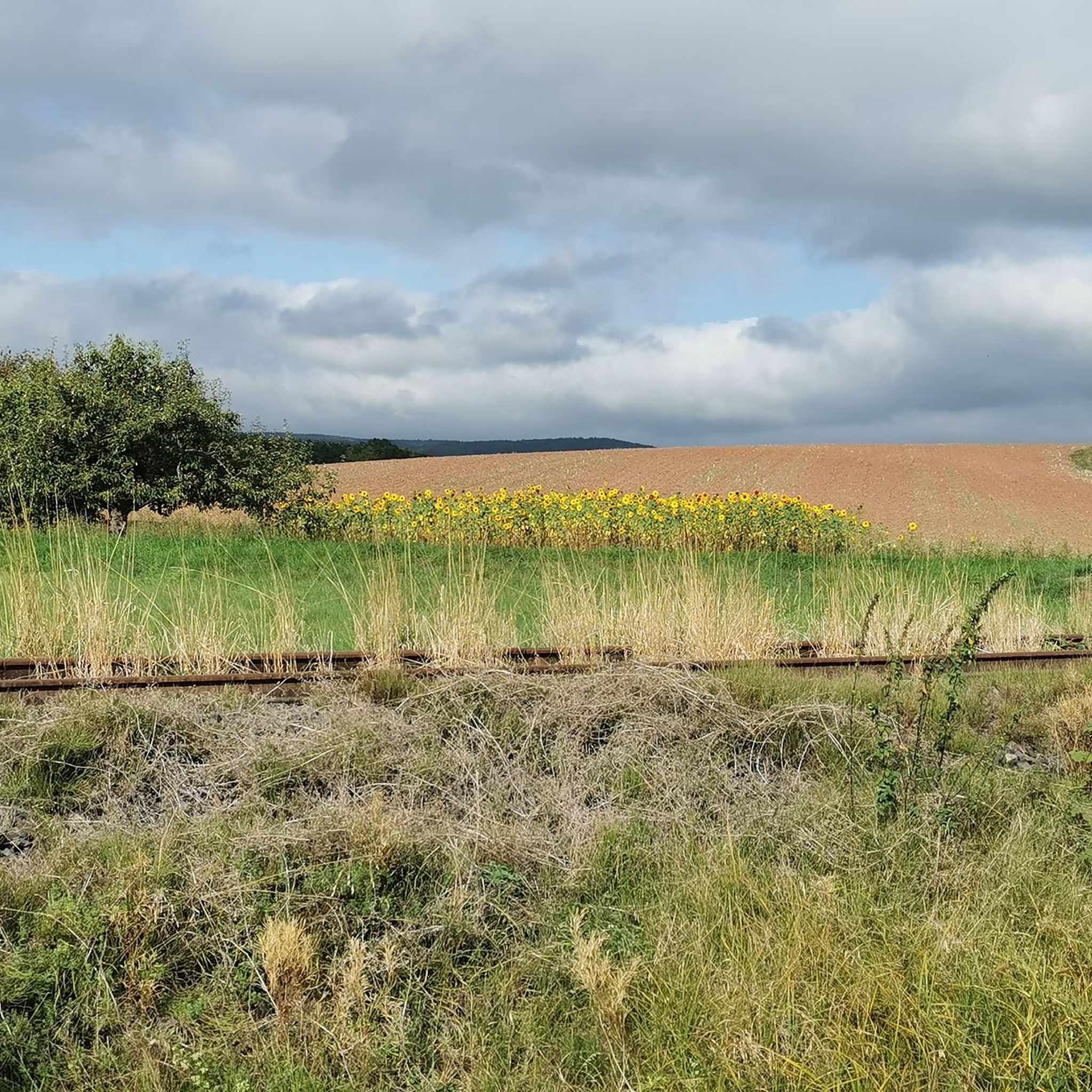
MTB Trails in Bachsystem Der Streu Mit Nebengewässern
Gravel biking in Bachsystem Der Streu Mit Nebengewässern

Mountain Hikes in Bachsystem Der Streu Mit Nebengewässern
Other adventures in Bachsystem Der Streu Mit Nebengewässern


Tips from the Community

Nicely made facility. Really worth seeing.
0
0

Since 2026 with bicycle service station
0
0

Very idyllic bridge, a few ducklings on the left and right, it's worth stopping by here.
2
0

A small bridge worth seeing and a beautiful spot.
2
0

Dedicated to Dr. Wendelinus Dietz, a Heufurt native who was honored in Bad Kissingen around 1900; beautifully situated on the Fladungen-Heufurt cycle path
0
0
Elaborately framed image of the Virgin Mary; also called the Lourdes Grotto
0
0
decorated, worth seeing
0
0

with benches and snack options. We snack on blackberries and raspberries.
1
0
Frequently Asked Questions
How many running routes are available in Bachsystem Der Streu Mit Nebengewässern?
There are over 100 running routes in Bachsystem Der Streu Mit Nebengewässern, catering to various fitness levels. You'll find a diverse network of paths through river valleys, gentle hills, and dense forests.
What kind of terrain can I expect on the running trails in this region?
The region offers a varied landscape for runners. You can expect a mix of gentle hills, dense forests, and picturesque river valleys along the Streu. Paths range from easily accessible, flatter sections to more challenging routes with elevation changes, especially in the Rhön Mountains.
Are there any easy or beginner-friendly running routes?
Yes, Bachsystem Der Streu Mit Nebengewässern has 13 easy running routes. A good option for beginners or those seeking a shorter, less strenuous run is the Start of the Saueiche Run – Unterelsbach Village loop from Unterelsbach, which is 3.5 miles (5.7 km) long with gentle elevation changes.
What are some notable natural attractions or points of interest along the running routes?
While running, you can discover several natural attractions. Keep an eye out for the Linden Trees at the Old Chapel (Natural Monument) or the Salzbrunnen Water Pump. The region is also known for its pristine natural environment as a Fauna-Flora-Habitat (FFH) area, offering tranquil views of the Streu river and its valleys.
Are there any circular running routes in the area?
Many of the running routes in Bachsystem Der Streu Mit Nebengewässern are loops, offering convenient circular options. For example, the Old Town Hall (Altes Rathaus) – Old Saale Bridge loop from Heustreu is a moderate 7.8 miles (12.6 km) path that follows the river.
What do other runners say about the trails in Bachsystem Der Streu Mit Nebengewässern?
The running routes in this area are highly rated by the komoot community, with an average score of 4.6 stars from over 60 reviews. Runners often praise the diverse terrain, the scenic river valleys, and the tranquil, protected natural environment.
Are the running trails suitable for families?
Yes, many paths are easily accessible and suitable for families. The varied terrain includes flatter sections along the river, which are ideal for a more relaxed family run. Look for routes marked as 'easy' or 'moderate' for the best family-friendly experience.
Can I bring my dog on the running trails?
The natural environment of Bachsystem Der Streu Mit Nebengewässern is generally dog-friendly. However, as parts of the region are designated as a Fauna-Flora-Habitat (FFH) area and nature reserves, it's always advisable to keep dogs on a leash to protect local wildlife and ensure a pleasant experience for everyone.
Where can I find parking near the running routes?
Parking facilities are generally available in and around the towns and villages that serve as starting points for many routes, such as Oberstreu and Heustreu. Specific parking information is often detailed on individual route pages on komoot.
What is the best time of year to go running in Bachsystem Der Streu Mit Nebengewässern?
The Rhön region, where the Streu river system is located, offers beautiful running conditions throughout much of the year. Spring and autumn provide pleasant temperatures and vibrant scenery. Summer is also great, especially for shaded forest paths, while winter can offer unique snowy landscapes, though some paths might be less accessible.
Are there any long-distance running options for experienced runners?
Absolutely. For experienced runners seeking a challenge, there are longer and more difficult routes. The Lake Frickenhäuser – Marienkapelle loop from Oberstreu is a demanding 24.8 miles (39.9 km) trail with significant elevation changes, offering a strenuous yet rewarding experience.
How does the Streu river system contribute to the running experience?
The Streu river and its valleys are central to the running experience, providing picturesque scenery and often forming the backbone of many routes. The river's course through the Rhön Mountains ensures a tranquil environment with good water quality and preserved natural morphology, making for a refreshing and scenic run.
Most popular routes in Bachsystem Der Streu Mit Nebengewässern
Most popular attractions in Bachsystem Der Streu Mit Nebengewässern

Get inspired with the komoot mobile app


Explore more
Browse the best Running Trails & Routes in other regions.
