The best gravel rides around Clarkson Valley
4.9
(9)
238
riders
12
rides
Gravel biking around Clarkson Valley, Missouri, offers access to diverse trail networks characterized by river valleys and forested areas. The region features varied terrain, including mild-graded hills and areas with more significant elevation changes, providing options for different skill levels. Riders can expect a mix of paved, unpaved, and gravel roads, with extensive trail systems like the Katy Trail accessible nearby. This landscape provides a diverse backdrop for outdoor activities, from moderate rides to more challenging routes.
Best gravel bike…
Last updated: July 12, 2026
46
riders
Easy gravel ride. Great for any fitness level. Mostly paved surfaces. Suitable for all skill levels.
5.0
(1)
27
riders
Moderate gravel ride. Good fitness required. Mostly paved surfaces. Suitable for all skill levels.

Sign up for free
5.0
(2)
18
riders
97.9km
05:20
250m
250m
Hard gravel ride. Very good fitness required. Mostly paved surfaces. Suitable for all skill levels.
40
riders
65.6km
03:15
110m
110m
Moderate gravel ride. Good fitness required. Mostly paved surfaces. Suitable for all skill levels.
15
riders
61.5km
03:22
270m
270m
Moderate gravel ride. Good fitness required. Mostly paved surfaces. Suitable for all skill levels.
Get access to more routes and recommendations from other explorers.
Sign up for free
Already have an account?
Our route recommendations are based on thousands of hikes, rides, and runs completed by other people on komoot.
Start today with a free account
Your next adventure awaits.
Login or Signup
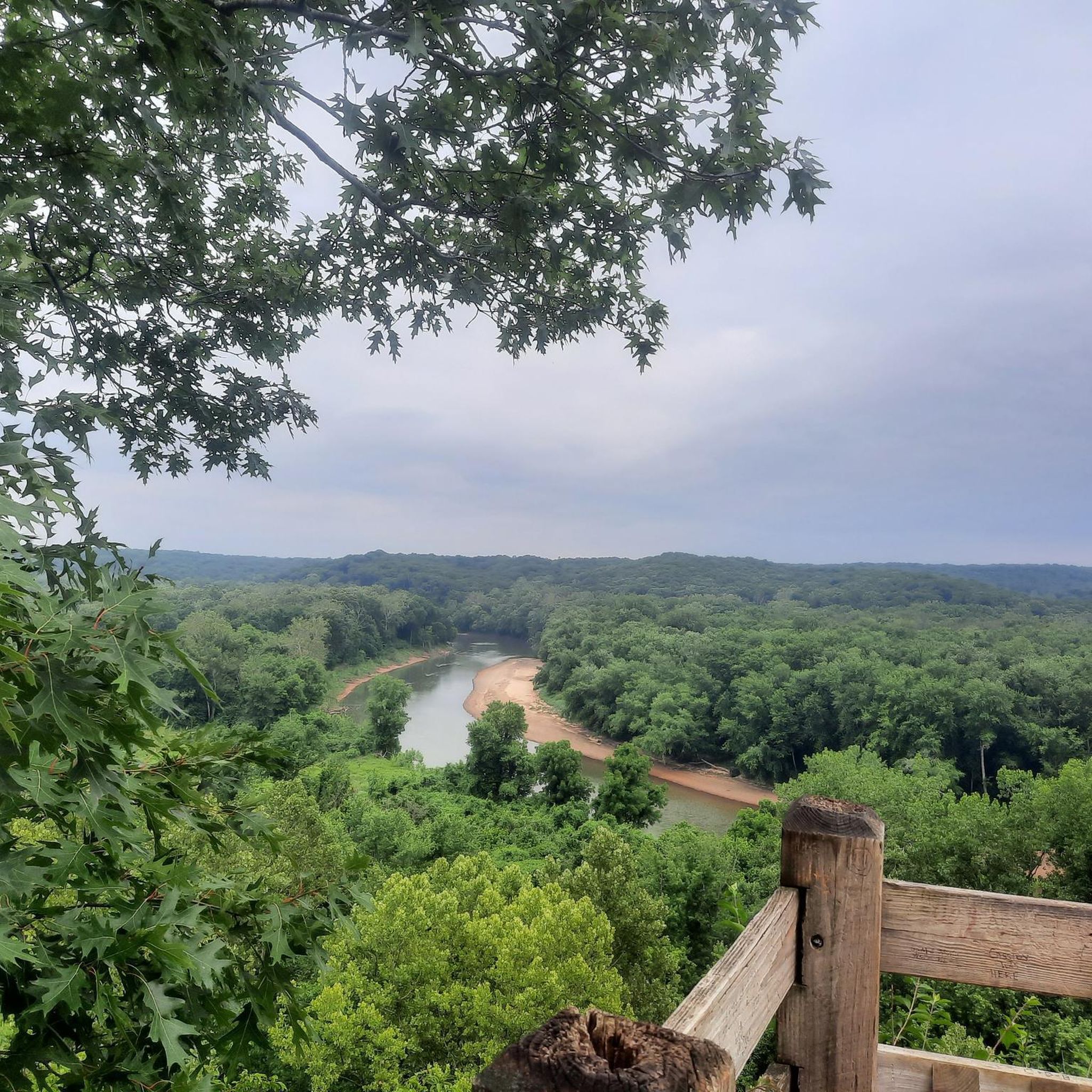


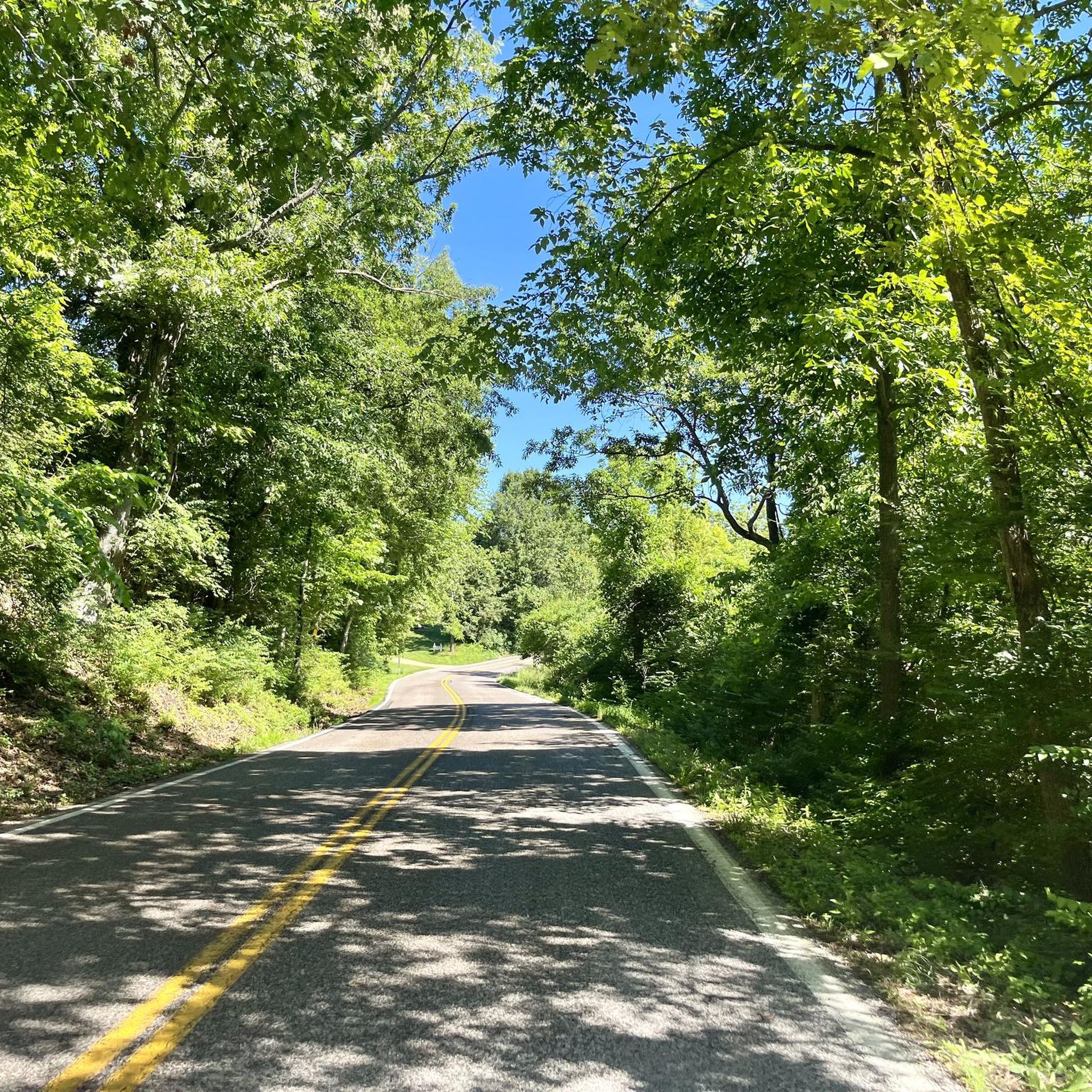
Tips from the Community

Known locally as “Devil’s Boot Cave,” this natural overhang carved in sandstone resembles the shape of a boot and stretches roughly 25 feet deep and wide, near Marthasville. Once used as a pioneer shelter and noted by local schools for nature trips, the site offers a little geological curiosity beside the trail—a hands-on reminder of Missouri’s limestone landscape and early frontier life. Great for a quick stop and photo op!
0
0

take the time to stop and enjoy the view while crossing the bridge
1
0

One of 3 major highway bridges over the Missouri between Weldon and St Charles, MO. The KATY trail through here is as smooth as concrete and the scenery is beautiful!
1
0

Fantastic bike path over the Daniel Boone Bridge. Great views of the Missouri.
1
0
Beautiful section with views of the Missouri
0
0

This trail runs alongside the Missouri River, providing a relaxing ride with the soothing sounds of the water. The trail is well-maintained dirt with ample tree coverage, offering pleasant shade along the way.
1
0

Here you will reach a historic iron bridge that spans over Femme Osage Creek just before entering Defiance. This is a particularly significant part of the Katy Trail, adding to its historical charm.
0
0
This section of the Katy Trail extends from Greens Bottom Road to Missouri Research Trail. Here, you'll discover a shady, compact gravel road with views of the Missouri River.
1
0
Frequently Asked Questions
How many gravel bike trails are available around Clarkson Valley?
There are over a dozen gravel bike trails around Clarkson Valley, offering a variety of experiences for different skill levels. These routes often feature a mix of paved, unpaved, and gravel roads, traversing scenic river valleys and forested areas.
What kind of terrain can I expect on gravel bike trails near Clarkson Valley?
The terrain around Clarkson Valley is quite diverse, ranging from mild-graded hills to areas with more significant elevation changes. You'll encounter a mix of paved, unpaved, and coarse gravel roads, often winding through river valleys and woodlands. Some routes, particularly in areas like the Mark Twain National Forest, feature scenic stretches with ridges, valleys, and even creek crossings.
Are there gravel biking options for beginners or families near Clarkson Valley?
Yes, there are several easy and moderate routes suitable for beginners and families. For instance, the Daniel Boone Bridge Bike Path – Katy Trail loop from Spirit of Saint Louis Airport is an easy 32.9 km (20.5 mi) route that connects to the extensive Katy Trail system, offering a relatively flat and accessible experience.
What are some popular longer or more challenging gravel routes?
For those seeking longer or more challenging rides, the Katy Trail – Katy Trail loop from Daniel Boone Bridge covers nearly 98 km (60.8 mi) and is rated as difficult due to its length. Another popular moderate option is the Katy Trail – Historic Bridge loop from Spirit of Saint Louis Airport, which is 60.5 km (37.6 mi) and includes sections of the Katy Trail and a historic bridge.
Are there any notable landmarks or viewpoints along the gravel trails?
Yes, many routes offer scenic views and pass by interesting landmarks. Along the Katy Trail, you can find highlights such as the Missouri River Overlook and various views of the Missouri River. The Katy Trail itself is a significant landmark, and some routes pass historic bridges. In the broader region, areas like the Mark Twain National Forest feature scenic gravel roads with natural features like flowing waterfalls and creek crossings.
Can I bring my dog on the gravel bike trails near Clarkson Valley?
Many outdoor areas in Missouri, including sections of the Katy Trail and some forest service roads, are generally dog-friendly, provided your dog is on a leash. However, it's always best to check specific regulations for each trail or park you plan to visit, as rules can vary. Ensure your dog is comfortable with the distance and terrain.
What do other gravel bikers enjoy most about gravel biking in Clarkson Valley?
The gravel biking routes around Clarkson Valley are highly rated by the komoot community, with an average score of 4.3 stars. Riders often praise the diverse terrain, the accessibility of the extensive Katy Trail network, and the scenic beauty of the river valleys and forested areas. The variety of routes ensures there's something for every skill level.
Are there any circular gravel biking routes available?
Yes, many of the popular gravel biking routes around Clarkson Valley are designed as loops. For example, the Katy Trail – Sunflower Silo loop from Chesterfield Airport at RHL is a moderate 52.4 km (32.6 mi) circular route. Other loops include those connecting to the Katy Trail, offering varied experiences without needing to retrace your steps.
Where can I find parking for gravel bike trails near Clarkson Valley?
Parking is generally available at various trailheads, especially for popular routes like those connecting to the Katy Trail. Many routes start from locations such as the Spirit of Saint Louis Airport or near the Daniel Boone Bridge, which typically offer parking facilities. For routes in areas like the Mark Twain National Forest, designated parking areas or roadside pull-offs are common.
What is the best time of year for gravel biking in Clarkson Valley?
Spring and fall generally offer the most pleasant conditions for gravel biking in Clarkson Valley, with milder temperatures and beautiful foliage. Summer can be hot and humid, while winter may bring colder temperatures and potential for snow or ice, affecting trail conditions. Always check the weather forecast and trail conditions before heading out.
Are there cafes or amenities near the gravel bike trailheads?
Given Clarkson Valley's proximity to St. Louis County, many trailheads, especially those along the Katy Trail, are often located near towns or communities where you can find cafes, restaurants, and other amenities. It's advisable to check the specific starting point of your chosen route to plan for food and water stops.
Can I find gravel roads in the Mark Twain National Forest from Clarkson Valley?
Yes, the Mark Twain National Forest, accessible from the broader region, features extensive gravel roads. These include routes like Meridian FS 2421, Lost Creek Road (known for waterfalls and creek crossings), and Stringtown Branch (Forest Service Road 2550), which offer scenic rides through ridges and valleys with varying grades. These areas provide a more rugged gravel biking experience.
Most popular attractions around Clarkson Valley

Get inspired with the komoot mobile app


Explore more
Browse the best Gravel rides in other regions.
