The best gravel rides around Mendota Heights
4.4
(5)
54
riders
10
rides
Gravel biking around Mendota Heights offers access to a diverse landscape featuring regional trails, scenic bluffs, and natural preserves. The area provides a mix of surfaces, including paved paths, unpaved sections, dirt roads, and crushed limestone paths. The landscape is characterized by its proximity to the Minnesota and Mississippi Rivers, offering routes with river views and access to extensive parkland. Mendota Heights serves as a strategic starting point for exploring varied terrain, with connections to broader regional gravel opportunities.
Best…
Last updated: October 17, 2026
4.0
(1)
11
riders
65.7km
04:42
290m
290m
Moderate gravel ride. Good fitness required. Mostly paved surfaces. Suitable for all skill levels.
4.3
(3)
8
riders
Easy gravel ride. Great for any fitness level. Mostly paved surfaces. Suitable for all skill levels.

7
riders
Easy gravel ride. Great for any fitness level. Mostly paved surfaces. Suitable for all skill levels.
6
riders
30.0km
02:03
180m
180m
Moderate gravel ride. Good fitness required. Mostly paved surfaces. Suitable for all skill levels.
5.0
(1)
6
riders
Moderate gravel ride. Good fitness required. Mostly paved surfaces. Suitable for all skill levels.
Get access to more routes and recommendations from other explorers.
Already have an account?
Our route recommendations are based on thousands of hikes, rides, and runs completed by other people on komoot.
Start today with a free account
Your next adventure awaits.
Tips from the Community

I hadn't been here in maybe 40 years since I was in 6th grade. There is quite a bit to see here in this rebuilt fort. Neat to see how many different trades people they had at the fort and what life would have been like on the frontier.
2
0
This is a different name for the Old Cedar Avenue Bridge.
2
0
Finally made it across this bridge, it's in really good shape. 2 big bike lanes in the center with walking paths on the outside.
1
0
Big bridge with a neat bike section mounted lower than the car section. Nice way to cross the river on a bike.
2
0
The "Ferry" looks upgraded, as does the new bridge across fallen trees. Both options were not what I needed at my turn around point today, but I finally made it here from the West today! Woohoo!
1
0
They have also added a "bridge" made out of a fallen tree with planks nailed to it and a rope "hand-rail". Looks challenging, but I think the water is too low to get the ferry across right now.
2
0
Paved path, single track mountain bike trails, lots of ways to explore!
1
0

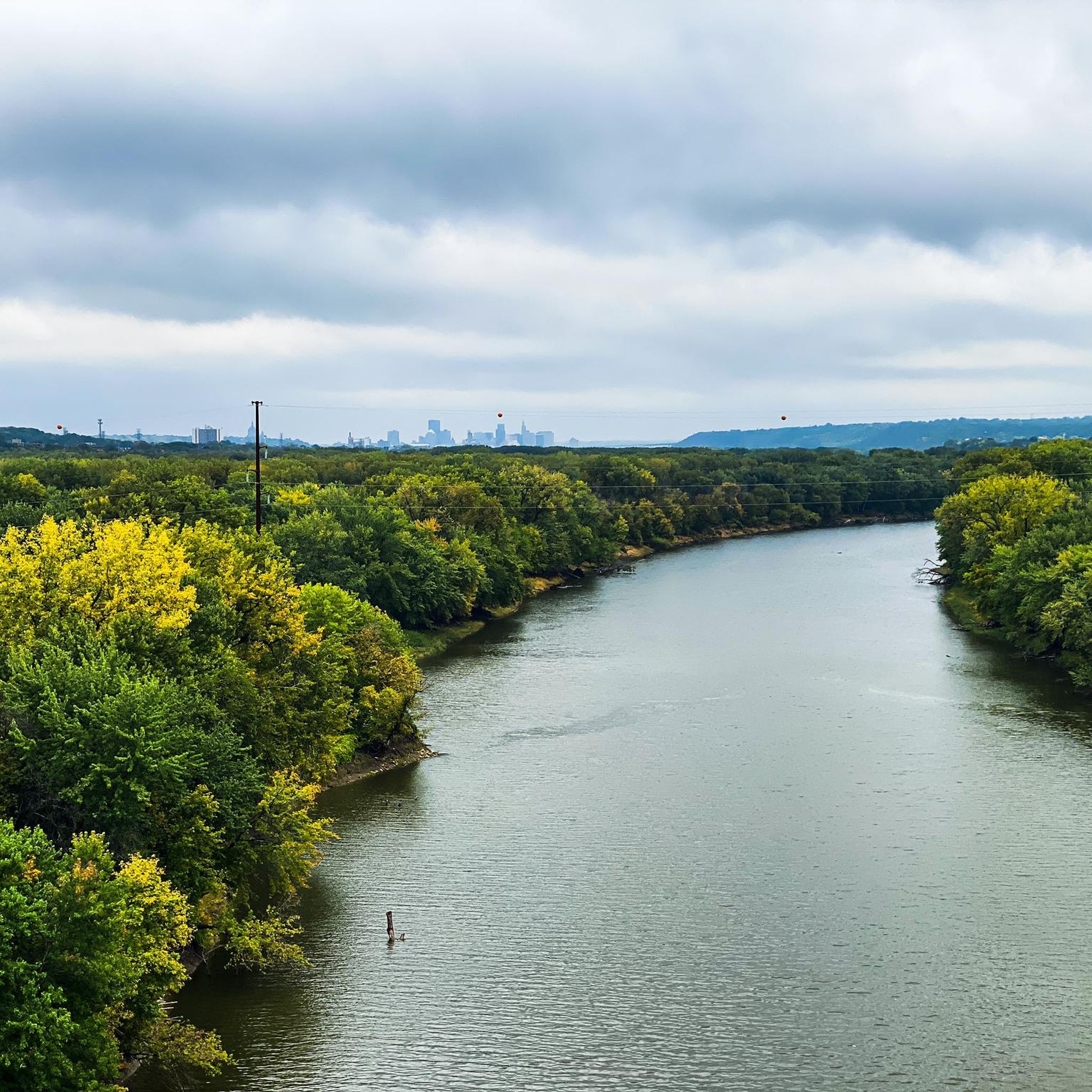
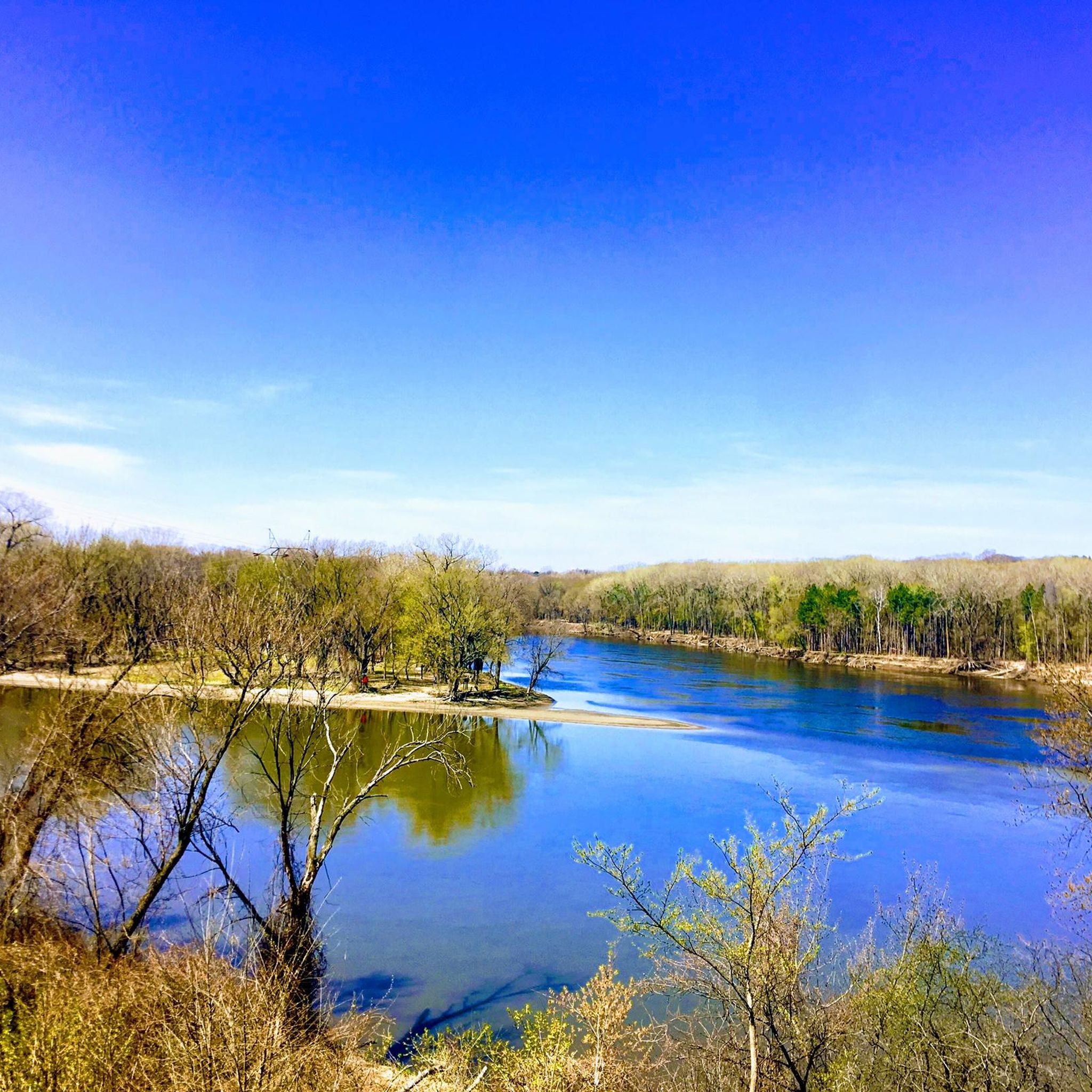
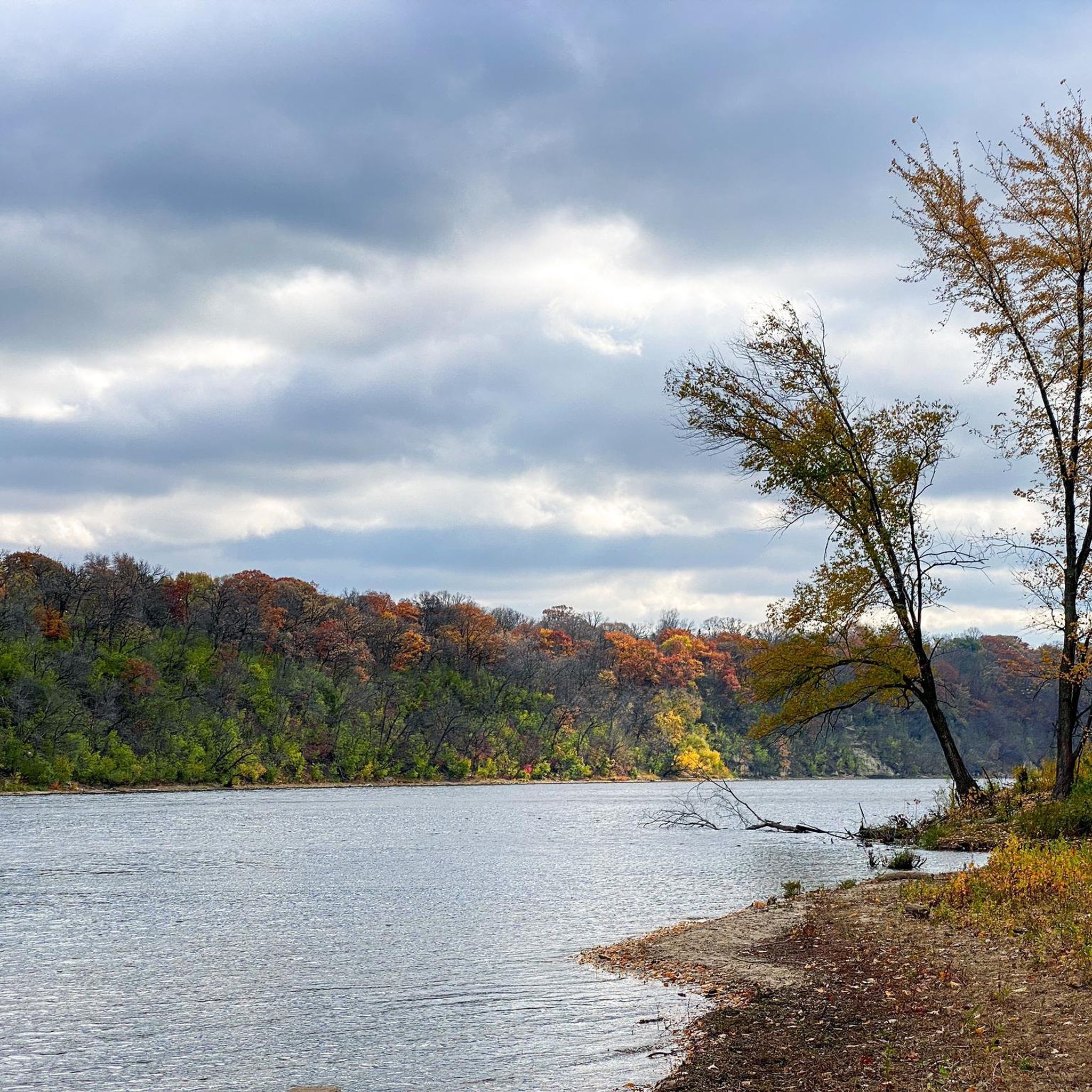
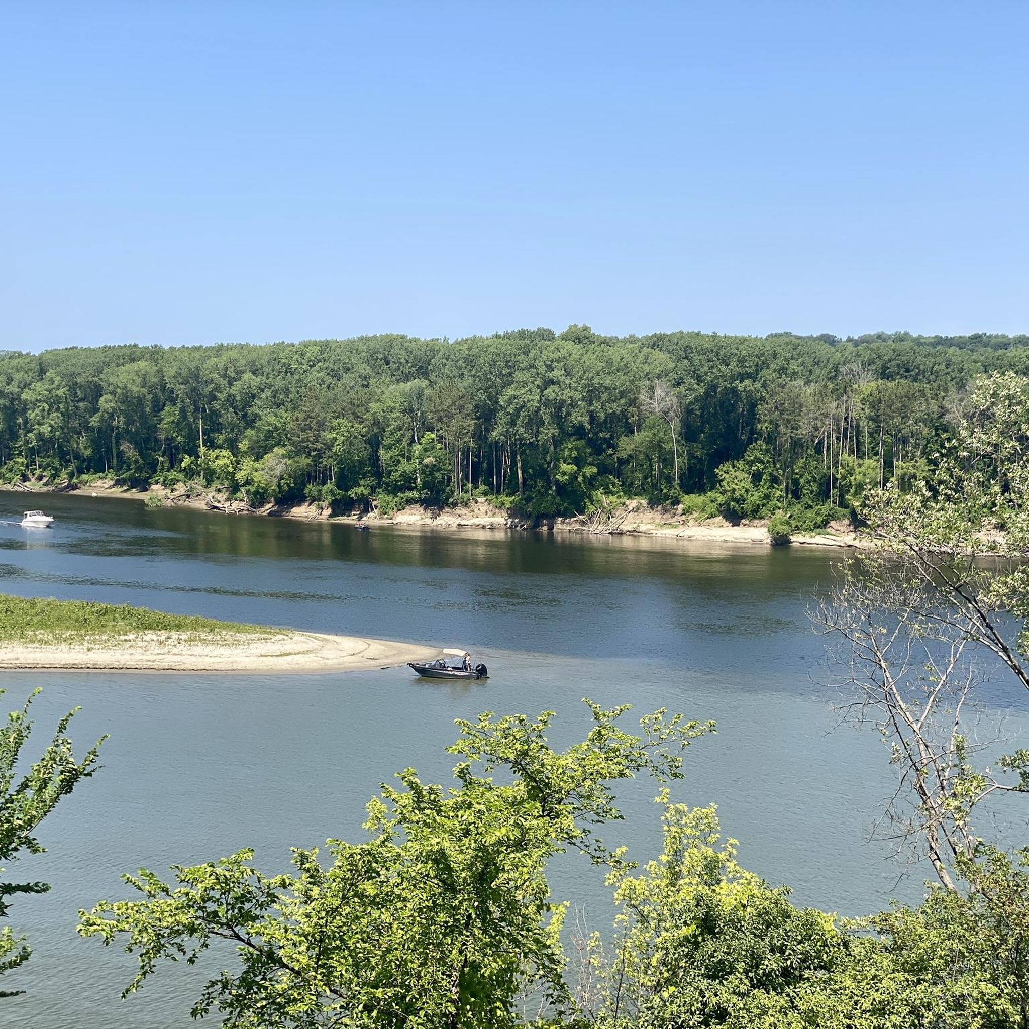
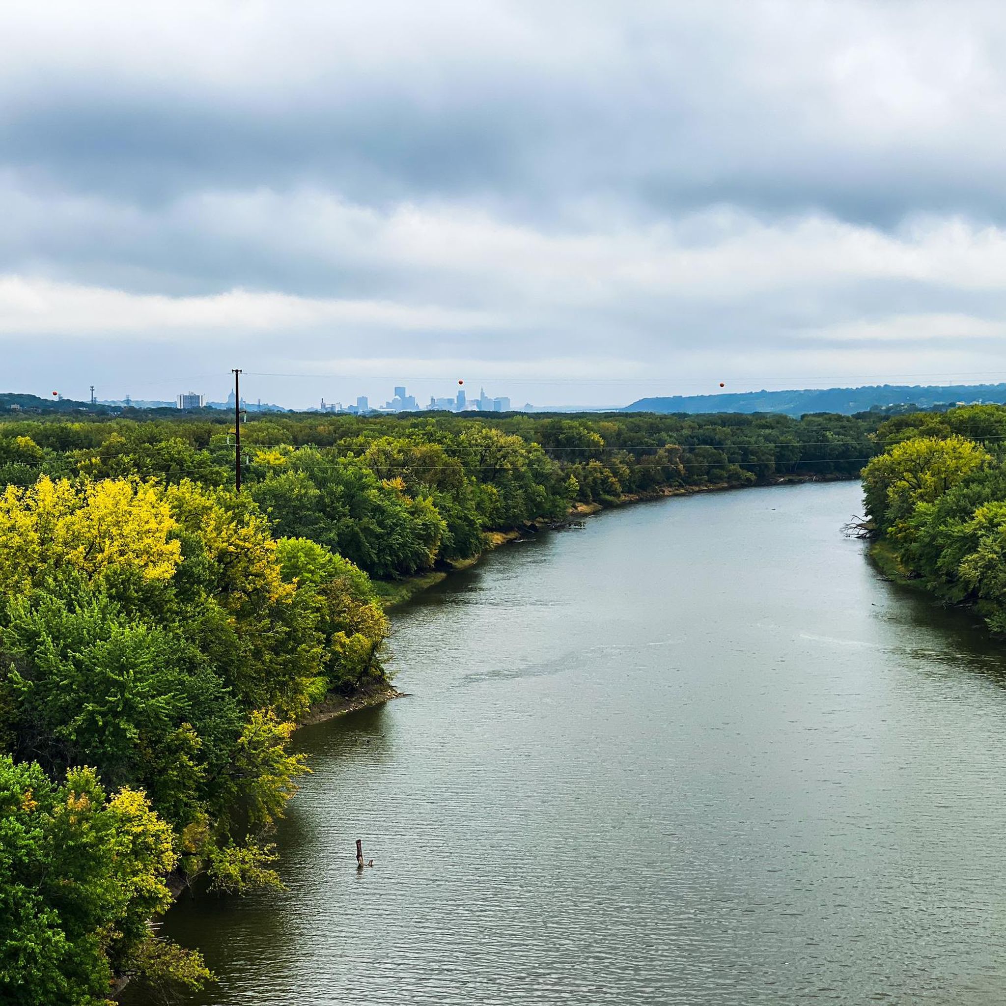
The Old Cedar Avenue Bridge has wide views of the Minnesota River. It's a popular spot for birdwatching—herons, egrets, and other wildlife are often seen here. The bridge connects to trails in the Minnesota Valley National Wildlife Refuge, making it a good detour or rest point during a longer ride.
1
0
Frequently Asked Questions
What kind of terrain can I expect on gravel bike trails around Mendota Heights?
Gravel biking around Mendota Heights offers a diverse landscape with mixed surfaces. You'll encounter paved paths, unpaved sections, dirt roads, and crushed limestone paths. Some routes, like those in Fort Snelling State Park or the Long Meadow Lake Trail, feature more rugged dirt, gravel, and ruts, providing a true off-road experience. The area also serves as a gateway to the broader Driftless Area, known for its scenic, hilly backcountry gravel roads.
Are there any easy or beginner-friendly gravel bike routes in Mendota Heights?
Yes, there are several easy options suitable for beginners. For example, the View of the Minnesota River – Old Cedar Avenue Bridge loop from 16 Av S is an easy 10.1-mile (16.3 km) path offering pleasant views of the Minnesota River. Another accessible route is the Hidden Falls Creek – Fort Snelling Scenic Overlook loop from 46th Street, which is 12.4 miles (19.9 km) and also rated easy.
What natural features or landmarks can I see along the gravel bike trails?
The trails often feature stunning natural beauty and significant landmarks. You can ride past the Minnehaha Falls, enjoy views of the Confluence of the Mississippi and Minnesota Rivers, or cross the historic Old Cedar Avenue Bridge. Many routes offer scenic overlooks, river bluffs, and access to natural preserves, including areas near Hidden Falls Creek.
Are there any longer or more challenging gravel routes for experienced riders?
For a more moderate and longer ride, consider the Minnehaha Falls – Fort Snelling loop from Fairview Avenue. This route spans 40.8 miles (65.7 km) and connects significant natural and historical landmarks, providing a more extensive gravel biking experience. The region's connection to the Driftless Area also implies access to more challenging, hilly backcountry roads for those seeking advanced rides.
What do other gravel bikers enjoy most about the trails in Mendota Heights?
The gravel biking routes in Mendota Heights are highly rated by the komoot community, with an average score of 4.6 stars. Riders frequently praise the diverse terrain, which combines paved and unpaved sections, and the scenic beauty, particularly the river views and natural preserves. The ability to connect to broader regional gravel opportunities is also a highlight for many.
Are there any circular gravel bike routes available?
Yes, many of the gravel bike routes around Mendota Heights are designed as loops. Examples include the Minnehaha Falls – Fort Snelling loop from Fairview Avenue, the View of the Minnesota River – Old Cedar Avenue Bridge loop from 16 Av S, and the Hidden Falls Creek – Fort Snelling Scenic Overlook loop from 46th Street. These circular routes make for convenient starting and ending points.
What is the best time of year to go gravel biking in Mendota Heights?
Mendota Heights offers enjoyable gravel biking across multiple seasons. Spring and fall provide pleasant temperatures and vibrant scenery, making them ideal. Summer is also great, though you might prefer earlier mornings or late afternoons to avoid peak heat. While specific winter trail conditions vary, some trails may be suitable for fat biking or cross-country skiing, offering a different kind of outdoor experience.
Are there options for parking near the gravel bike trailheads?
Mendota Heights has a strong commitment to cycling accessibility, including a Bike and Pedestrian Plan. While specific parking details vary by trailhead, the extensive park system and regional trail network generally provide accessible parking options. Many routes start from areas with designated parking, such as those near parks or public access points.
Can I reach the gravel bike trails using public transport?
Mendota Heights is part of the greater Twin Cities area, which has a public transportation network. While direct access to every trailhead via public transport might vary, the city's focus on enhancing cycling infrastructure, including shared-use trails, aims to improve overall accessibility. It's advisable to check local transit routes and schedules for connections to specific trail starting points.
Are there any less crowded gravel biking options in the area?
While popular routes can see more traffic, exploring some of the less-traveled sections or venturing into the connections towards the Driftless Area can offer a more secluded experience. Routes that combine paved paths with unpaved sections often allow for a mix of popular and quieter stretches. Early mornings or weekdays are generally good times to find trails less crowded.
Are there any family-friendly gravel biking trails in Mendota Heights?
Absolutely. The area offers several easy-grade routes that are suitable for families. The View of the Minnesota River – Old Cedar Avenue Bridge loop from 16 Av S is a great example, being relatively short and easy with scenic views. The city's commitment to creating safer paths and shared-use trails also contributes to a family-friendly cycling environment.
Where can I find more information about parks and facilities in Mendota Heights?
For more details on the 17 public parks and over 295 acres of parkland in Mendota Heights, including facilities and amenities, you can visit the official city website. They provide comprehensive information on their parks and recreational offerings. Mendota Heights Parks & Facilities
Most popular attractions around Mendota Heights

Get inspired with the komoot mobile app


Explore more
Browse the best Gravel rides in other regions.
