The best gravel rides around Montmaur
4.2
(15)
106
riders
29
rides
Gravel biking around Montmaur offers routes through the foothills of the French Alps, characterized by significant elevation changes, mountain passes, and deep gorges. The region features a mix of open plateaus, forested sections, and views of surrounding peaks. Gravel bike trails here often involve sustained climbs and descents across varied terrain.
Best gravel bike trails around Montmaur
- The most popular gravel bike trail is Collet du Tat – Col du Festre loop from Agnières-en-Dévoluy, a 30.0 miles (48.2 km)…
Last updated: July 3, 2026
5.0
(1)
14
riders
48.4km
03:54
1,170m
1,170m
Hard gravel ride. Very good fitness required. Mostly paved surfaces. Suitable for all skill levels.
5.0
(1)
6
riders
Hard gravel ride. Very good fitness required. Mostly paved surfaces. Suitable for all skill levels.

Sign up for free
1
riders
55.0km
03:58
1,060m
1,060m
Hard gravel ride. Very good fitness required. Mostly paved surfaces. Suitable for all skill levels.
3.5
(2)
12
riders
41.6km
03:16
880m
880m
Hard gravel ride. Very good fitness required. Mostly paved surfaces. Suitable for all skill levels.
4
riders
Hard gravel ride. Very good fitness required. Mostly paved surfaces. Suitable for all skill levels.
Get access to more routes and recommendations from other explorers.
Sign up for free
Already have an account?
Our route recommendations are based on thousands of hikes, rides, and runs completed by other people on komoot.
Start today with a free account
Your next adventure awaits.
Login or Signup
Popular around Montmaur

8 hikes in the Hautes-Alpes — mountain passes and high-altitude lakes

The most beautiful MTB and hiking tours in the French Maritime Alps
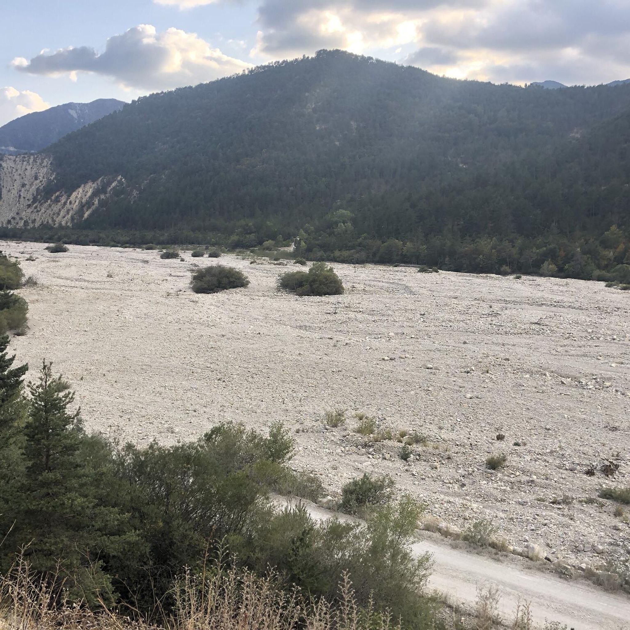
Hiking around Montmaur
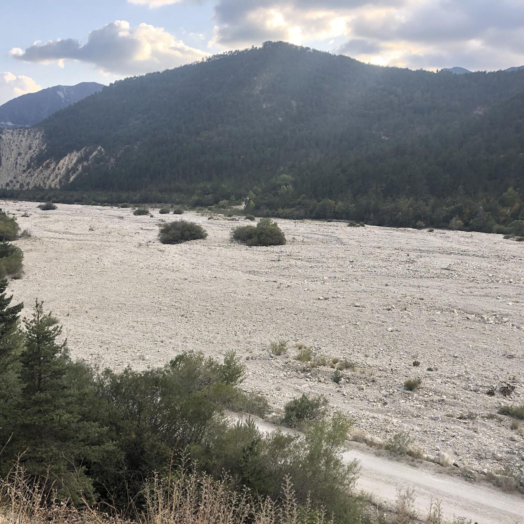
Road Cycling Routes around Montmaur
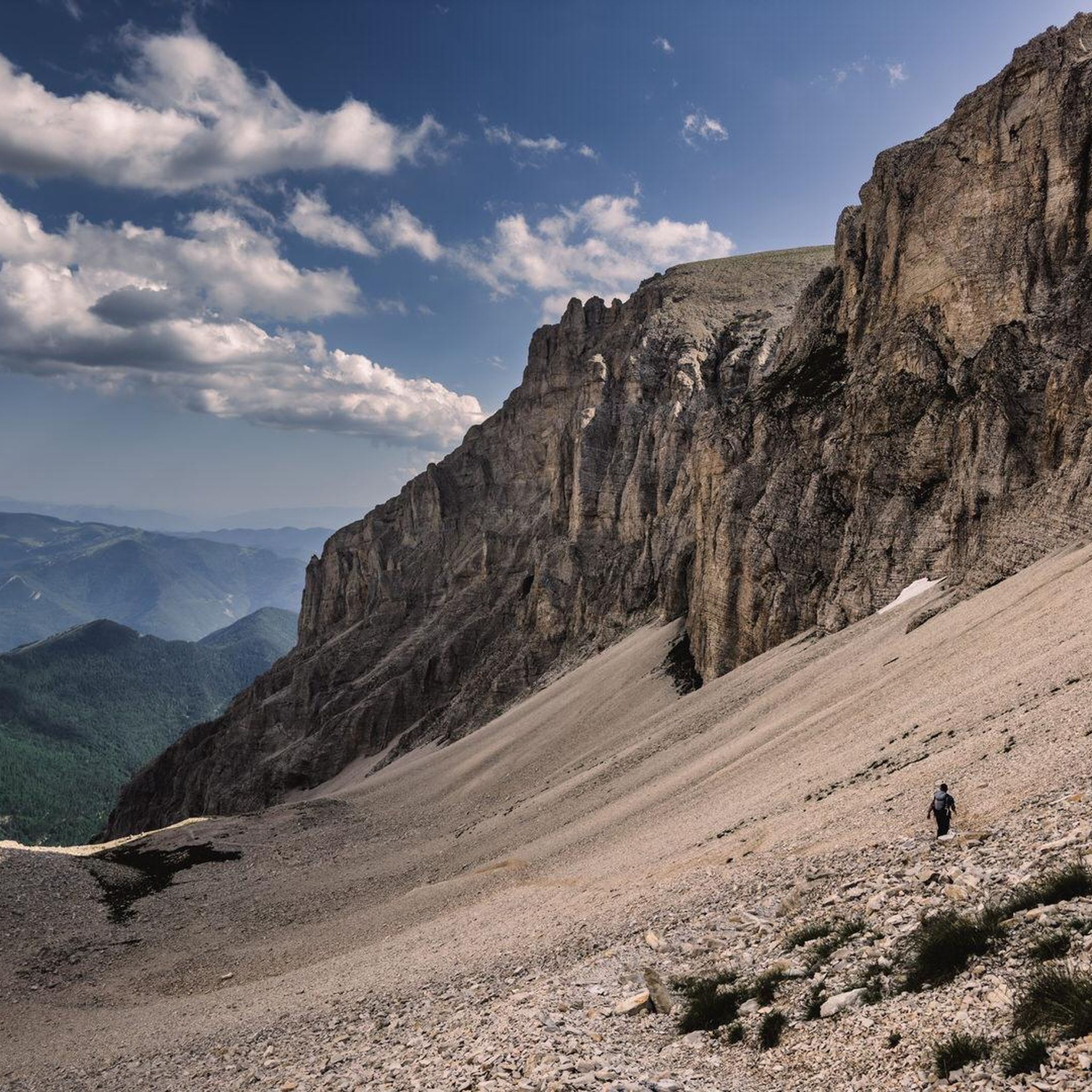
Running Trails around Montmaur
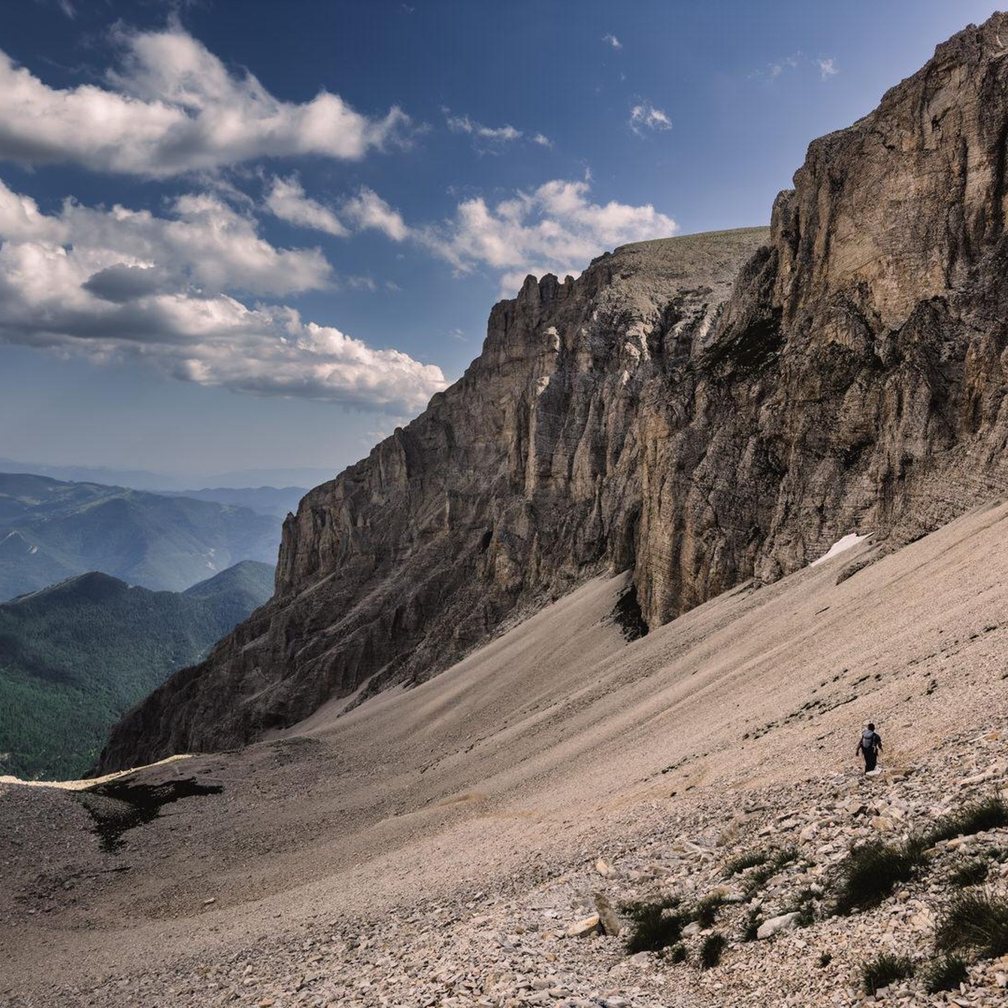
Cycling around Montmaur
MTB Trails around Montmaur

Mountain Hikes around Montmaur

Tips from the Community

The Col de Verniers via Châteauneuf d'Oze is a climb located in the Hautes-Alpes region. This climb is 2.4 km long, with a total elevation gain of 124 m. The Col de Verniers via Châteauneuf d'Oze has an average gradient of 5.1%.
9
0
Ancient building maintained in excellent condition.
4
0
Ascent on a secondary road, very easy slopes. Be careful of the slightly slippery asphalt.
3
0
Road without traffic with stunning views
8
0
The Col du Festre is an Alpine pass located in the Dévoluy massif, in the Hautes-Alpes department, at an altitude of 1,441 meters. It connects the Buëch valley with that of the Souloise and is one of the main accesses to the Dévoluy territory.
7
0
"Saint-Marcellin" is a common name for several small villages in France, but in the regions of Alpes-de-Haute-Provence and Hautes-Alpes (near you) it mainly indicates a typical mountain hamlet, present in municipalities such as Vars or Châteauroux-les-Alpes.
10
0
The view of Aujour (Montagne de l’Aujour) is one of the most spectacular panoramas in the area between the Alpes-de-Haute-Provence and the Sisteron area: a long limestone ridge that dominates valleys, hills and, on clear days, opens up to the Prealps and the Durance basin.
14
0
The Col de la Bachassette is a small mountain pass located in the Southern Alps, in the Provence-Alpes-Côte d'Azur region, near the village of Oze.
20
0
Frequently Asked Questions
How many gravel bike trails are available around Montmaur?
Montmaur offers a diverse network of over 30 gravel bike trails. These routes primarily cater to experienced riders, featuring significant elevation changes and varied terrain through the foothills of the French Alps.
What do other gravel bikers say about the trails in Montmaur?
The gravel biking routes in Montmaur are highly rated by the komoot community, with an average score of 4.4 stars from over 10 reviews. Riders frequently praise the challenging climbs, the stunning mountain views, and the unique experience of exploring deep gorges and high plateaus.
Are there gravel bike trails suitable for beginners in Montmaur?
The gravel bike trails around Montmaur are predominantly challenging, with 28 out of 32 routes rated as difficult. There are 4 routes classified as moderate, but no easy routes. Riders should be prepared for sustained climbs and descents across varied terrain, making the region more suitable for those with some gravel biking experience.
What are some challenging gravel bike routes for experienced riders?
Experienced gravel bikers will find plenty of challenging options. Consider the Chemin des Gorges d’Agnielles – Hameau de Saint-Marcellin loop from Veynes-Dévoluy, a difficult 20.9 miles (33.6 km) path exploring scenic gorges. Another demanding option is the Bachassette Pass – Verniers Pass loop from Veynes-Dévoluy, which covers 33.9 miles (54.7 km) with over 1100 meters of elevation gain.
Are there any circular gravel bike routes in Montmaur?
Yes, many of the gravel bike routes in Montmaur are designed as loops, allowing you to start and finish in the same location. Examples include the popular Collet du Tat – Col du Festre loop from Agnières-en-Dévoluy, a 30.0 miles (48.2 km) trail, and the View of L'Aujour – Bachassette Pass loop from Veynes-Dévoluy, which offers stunning mountain vistas.
What kind of distances and durations can I expect on gravel bike trails in Montmaur?
The gravel bike trails in Montmaur typically range from 20 to 35 miles (32 to 56 km) in length. Due to the significant elevation changes and challenging terrain, durations can vary. For instance, a 30-mile route like the Collet du Tat – Col du Festre loop can take around 4 hours 42 minutes to complete.
What interesting sights or landmarks can I see along the gravel bike trails in Montmaur?
The routes often pass by or offer views of impressive natural landmarks. You might encounter mountain passes like Espréaux Pass or Col du Festre. The region is also home to several prominent peaks such as Gleize Peak and Ceuze pike, offering spectacular backdrops to your ride.
Is Montmaur suitable for gravel biking in winter?
Montmaur is located in the foothills of the French Alps, meaning winter conditions can be challenging. While some lower elevation routes might be accessible, higher passes and exposed sections are likely to be covered in snow or ice, especially from late autumn to early spring. It's best to check local weather and trail conditions before planning a winter ride.
Are the gravel bike trails in Montmaur dog-friendly?
While many outdoor areas in France are generally dog-friendly, specific regulations can vary, especially in protected natural areas or on private land. It's always recommended to keep dogs on a leash, especially near livestock or wildlife. Check individual trail descriptions on komoot for any specific restrictions or recommendations regarding dogs.
Are there routes with good viewpoints in Montmaur?
Absolutely. The Montmaur region is known for its stunning mountain scenery. Routes like the View of L'Aujour – Bachassette Pass loop are specifically highlighted for their panoramic mountain views. Many trails traverse high plateaus and passes, offering expansive vistas of the surrounding peaks and valleys.
Where can I find parking for gravel biking in Montmaur?
Many of the gravel bike routes around Montmaur start from villages like Agnières-en-Dévoluy or Veynes-Dévoluy. These villages typically offer public parking areas. It's advisable to check the starting point of your chosen route on komoot for specific parking recommendations or to look for designated parking spots in the nearest town.
Most popular routes around Montmaur
Most popular attractions around Montmaur

Get inspired with the komoot mobile app


Explore more
Browse the best Gravel rides in other regions.
