The best mountain hikes around Montmaur
5.0
(1)
17
hikers
3
hikes
Mountaineering routes Montmaur are set within the mountainous Hautes-Alpes department, characterized by diverse landscapes. The region features prominent peaks, including Gleize Peak at 2,161 meters, and unique geological formations like the marls of Espréaux Pass. These easily crumbled rocks create distinctive geometric shapes across the mountains. Montmaur's terrain offers a mix of challenging ascents and scenic paths, with the Dévoluy massif forming a significant part of its backdrop.
Best mountaineering routes around Montmaur
- The most popular mountaineering route is Summit…
Last updated: June 26, 2026
6
hikers
8.40km
03:03
460m
460m
Moderate mountaineering route. Good fitness required. Mostly accessible paths. Sure-footedness required.
4
hikers
7.58km
03:55
590m
590m
Hard mountaineering route. Good fitness required. Sure-footedness, sturdy shoes and alpine experience required.

Sign up for free
2
hikers
9.20km
03:24
570m
570m
Hard mountaineering route. Good fitness required. Sure-footedness, sturdy shoes and alpine experience required.
2
hikers
9.10km
03:04
460m
470m
Moderate mountaineering route. Good fitness required. Easily-accessible paths. Suitable for all skill levels.
5.0
(1)
2
hikers
11.5km
04:12
690m
690m
Moderate mountaineering route. Good fitness required. Easily-accessible paths. Suitable for all skill levels.
Our route recommendations are based on thousands of hikes, rides, and runs completed by other people on komoot.
Start today with a free account
Your next adventure awaits.
Login or Signup
Popular around Montmaur

8 hikes in the Hautes-Alpes — mountain passes and high-altitude lakes

The most beautiful MTB and hiking tours in the French Maritime Alps
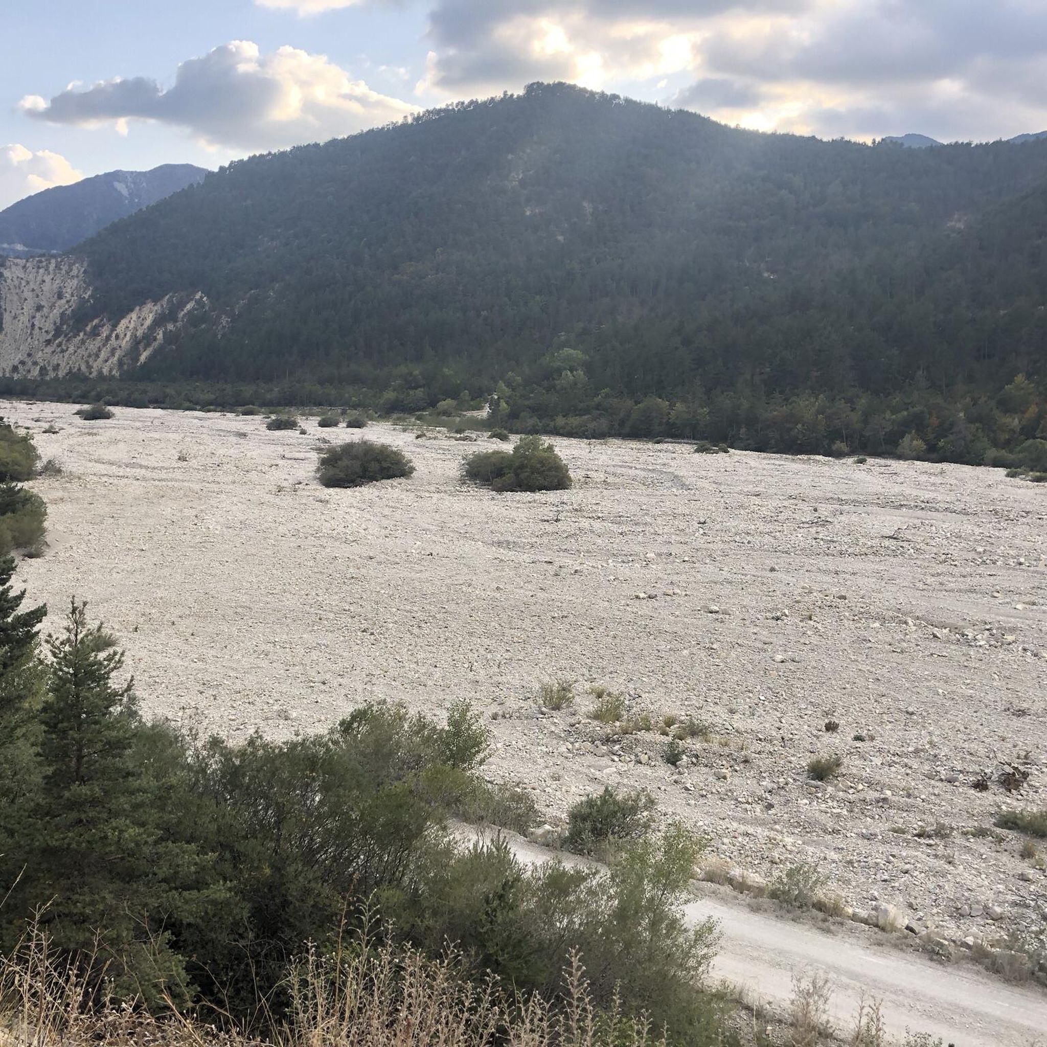
Hiking around Montmaur
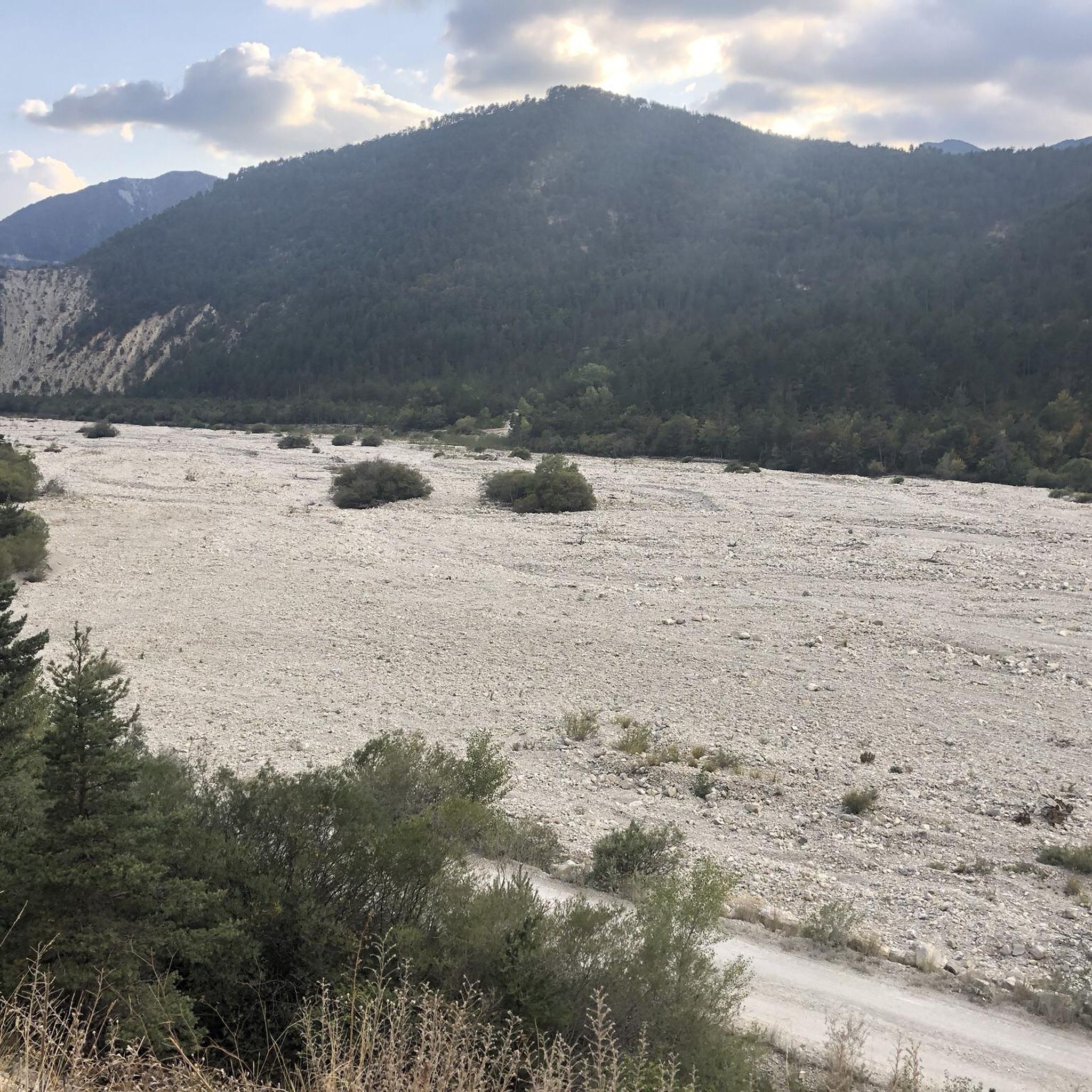
Road Cycling Routes around Montmaur
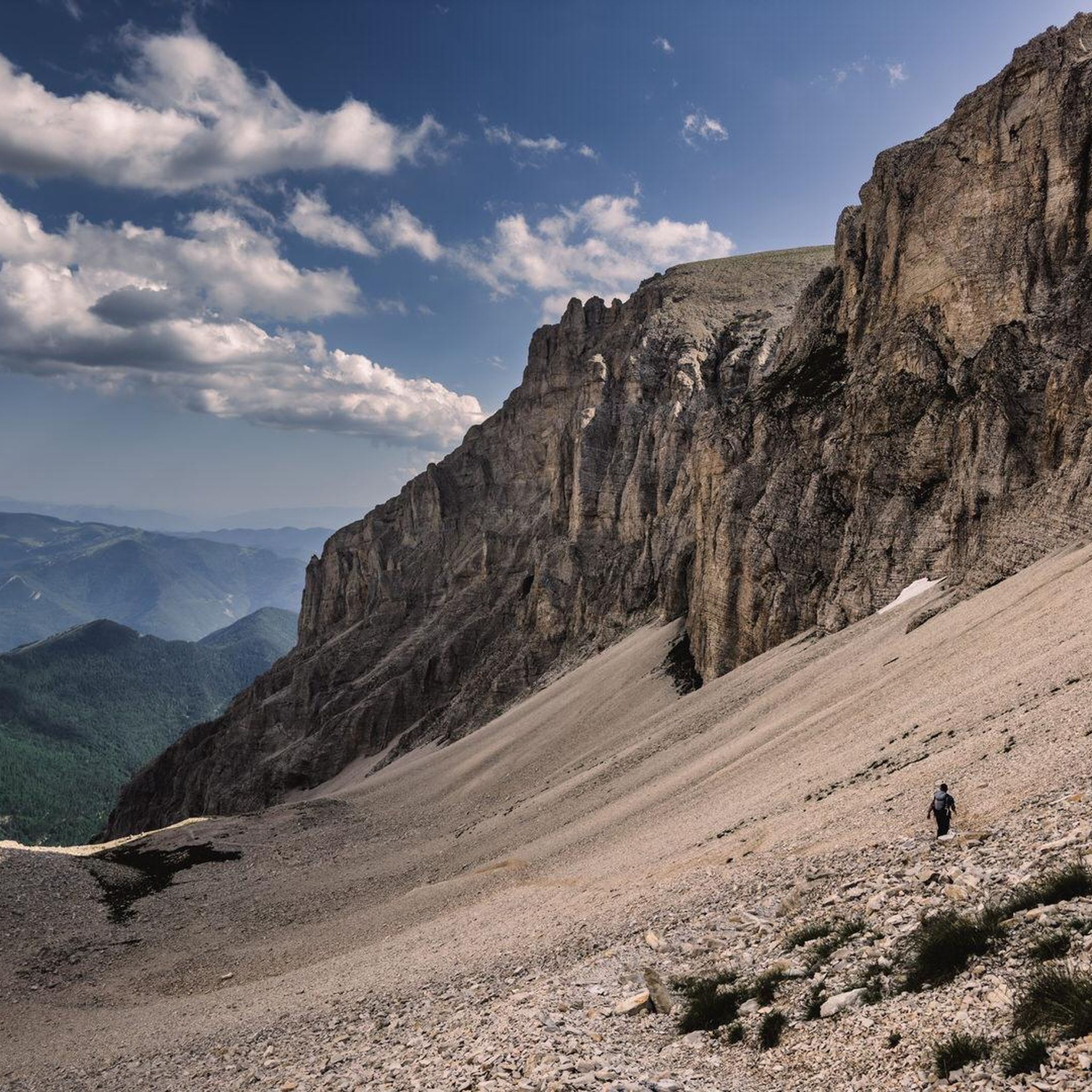
Running Trails around Montmaur
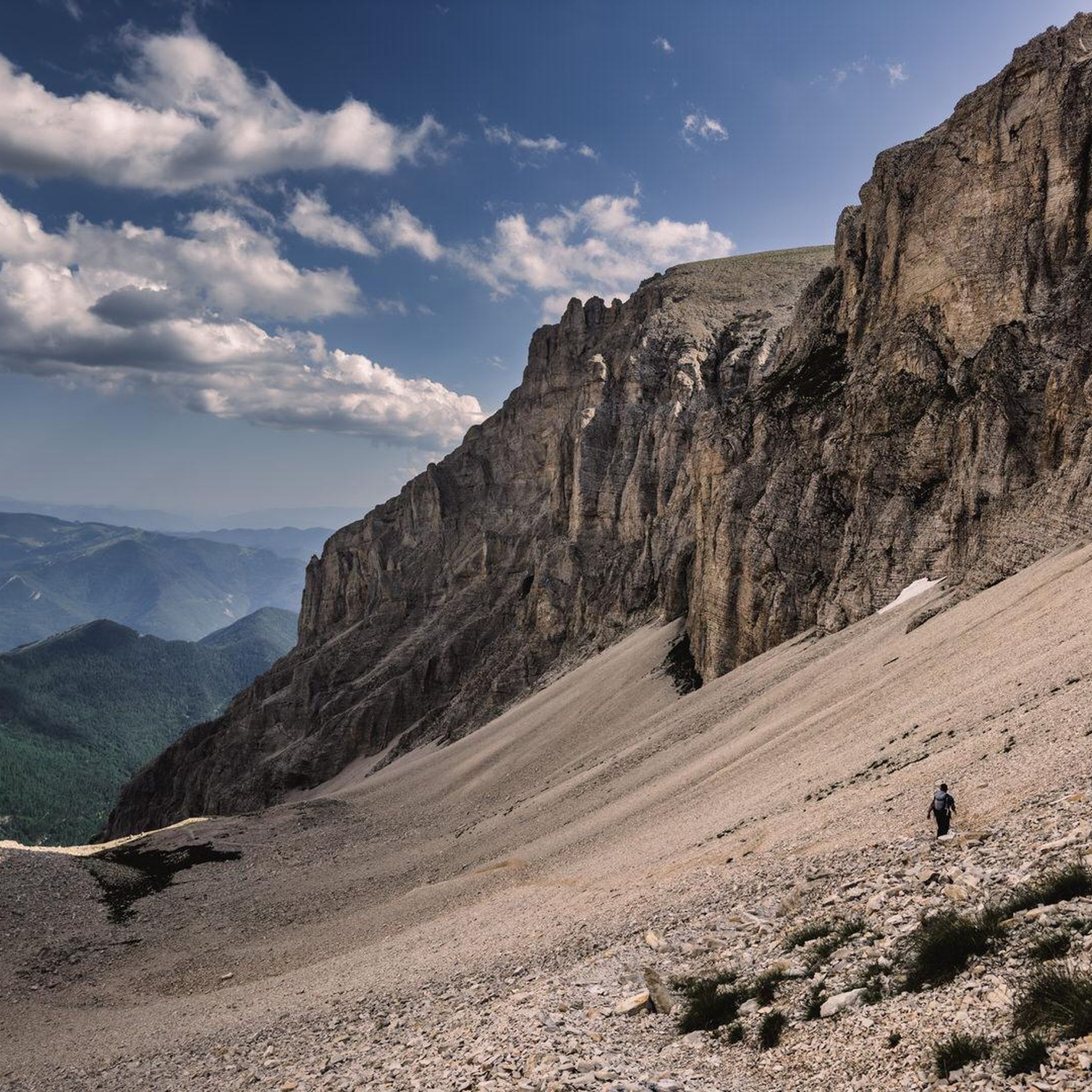
Cycling around Montmaur
MTB Trails around Montmaur

Gravel biking around Montmaur

Tips from the Community


It is one of the highest bocages in Europe. These landscapes are typical in France, but this one is one of the best preserved. It has a superb network of beech hedges, crops, meadows and woods which attracts beautiful biodiversity and many birds.
0
0
The Col de Gleize car park is located next to a designated picnic area. It is the starting point for many hiking trails that intersect here.
0
0

For a great picnic with a 360° view of breathtaking landscapes: meet at Pic Chaudun 🌟
0
0

It is accessible by car via a pretty narrow road and has parking as it is the starting point for many trails.
1
0

From here we have a superb view of the Bure plateau, a plateau at an altitude of 2,552 m in the Dévoluy massif - site of the NOEMA Interferometer observatory.
0
0
The Montagne de Céüse culminates at an altitude of 2,016m. It is included in the Natura 2000 protected area. Some of the most extreme climbing routes in the world are found on the cliffs of the mountain. From the top there is an exceptional view.
0
1
At 2,161 meters above sea level, the Gleize peak is located in the Dévoluy massif on a ridge which extends from the Charance mountain to the Faraut mountain. From here we have magnificent views of the Bois du Chapter biological reserve and the high peaks of Dévoluy.
0
1
Frequently Asked Questions
How many mountaineering routes are available around Montmaur?
Based on komoot data, there are 4 mountaineering routes detailed in this guide. The broader Hautes-Alpes region, including areas near Montmaur, offers extensive trail networks for various skill levels, with the nearby Écrins National Park alone boasting over 5000 km of small hiking trails.
What kind of natural features can I expect to see on mountaineering routes near Montmaur?
The Montmaur area is characterized by diverse mountainous terrain, including prominent peaks like Gleize Peak (2,161 meters). You'll also encounter unique geological formations, such as the marls of Espréaux Pass, which create distinctive geometric shapes in the mountains. The region is part of the magnificent Dévoluy massif, offering dramatic scenery.
Are there any circular mountaineering routes in the Montmaur area?
Yes, several circular routes are available. For instance, you can explore the Summit without a cross loop from Col de Gleize, which offers views from a prominent summit. Another option is the Peaks loop from SuperDévoluy, which explores the high-altitude terrain of the Dévoluy massif.
What is the best time of year for mountaineering in Montmaur?
The best time for mountaineering in Montmaur generally aligns with late spring, summer, and early autumn when trails are clear of snow and weather conditions are more stable. The Hautes-Alpes region offers a long season for outdoor activities, but it's always wise to check local weather forecasts and trail conditions before heading out, especially for higher altitudes.
Are there any family-friendly mountaineering options around Montmaur?
While many mountaineering routes require good fitness, the broader Hautes-Alpes region offers accessible viewpoints and trails suitable for families. For instance, the Chemin de rondes and its cliffs is a magnificent balcony path that provides stunning views, and some sections might be suitable for families seeking less strenuous walks. Always check the difficulty and elevation gain for specific routes.
What do other mountaineers enjoy most about the routes in Montmaur?
The mountaineering routes in Montmaur are highly rated by the komoot community, with an average score of 5.0 stars from over 7 reviews. Reviewers often praise the dramatic peaks, unique marl formations, and the extensive trail networks that cater to various ability levels, from moderate ascents to more difficult climbs.
Are there any challenging mountaineering routes for experienced climbers?
Yes, Montmaur offers routes that are considered difficult. For example, the Summit without a cross loop from Col de Gleize is rated as difficult, involving significant elevation gain. The region's proximity to the Écrins National Park also means access to majestic peaks reaching nearly 3500 meters, offering immense possibilities for high-altitude trekking and advanced climbing.
Are there any notable landmarks or points of interest near the mountaineering trails?
Absolutely. Beyond the stunning natural landscapes, you can find several points of interest. The Espréaux Pass is known for its unique geological marl formations. You might also encounter other mountain passes like Col du Noyer (1664 m) or Col du Festre, which serve as gateways to various trails and offer panoramic views.
Can I find routes that include alpine lakes or mountain passes?
Yes, the region features routes that lead through beautiful alpine scenery. The Lac du Lauzon – Col des Aurias loop from Saboyer is a prime example, guiding you through alpine lakes and over mountain passes, offering a classic high-mountain experience.
What is the general difficulty level of mountaineering in Montmaur?
The mountaineering routes around Montmaur cater to a range of abilities. While some routes are rated as moderate, such as the Pic de Céüse loop from Céüze, others are considered difficult, like the Grotte des Beaumettes loop from SuperDévoluy. It's important to check the specific difficulty grade, distance, and elevation gain for each tour to match your fitness level and experience.
Are there opportunities for rock climbing in the Montmaur area?
While this guide focuses on mountaineering, the broader Hautes-Alpes region, where Montmaur is located, is renowned for rock climbing. World-class sites like Céüse are within reach, providing opportunities for climbers of all levels. For specific climbing routes, you would need to consult dedicated climbing guides for the area.
Most popular routes around Montmaur
Most popular attractions around Montmaur

Get inspired with the komoot mobile app


Explore more
Browse the best Mountain Hikes & Routes in other regions.
