The best running trails around Montmaur
4.4
(74)
2,730
runners
227
runs
Jogging routes around Montmaur offer diverse terrain within the Southern French Alps, providing varied challenges and scenic backdrops. The region features expansive views over the Drôme Valley with its vineyards and orchards, alongside accessible plains and wild natural areas. For those seeking more elevation, the surrounding massifs and mountain passes, such as Col du Noyer and Espréaux Pass, present routes with significant climbs and unique geological formations. The Forêt des Sauvas also provides opportunities for trail running through woodlands.
Best…
Last updated: October 4, 2026
67
runners
16.2km
03:07
1,410m
1,410m
Hard run. Very good fitness required. Mostly paved surfaces. Suitable for all skill levels.
4.0
(1)
38
runners
16.3km
02:29
810m
810m
Hard run. Very good fitness required. Mostly paved surfaces. Suitable for all skill levels.

3.0
(2)
14
runners
7.69km
00:51
70m
70m
Moderate run. Good fitness required. Mostly paved surfaces. Suitable for all skill levels.
13
runners
29.0km
04:40
1,880m
1,880m
Hard run. Very good fitness required. Mostly paved surfaces. Suitable for all skill levels.
3.0
(1)
13
runners
9.89km
01:06
90m
90m
Moderate run. Good fitness required. Mostly paved surfaces. Suitable for all skill levels.
Get access to more routes and recommendations from other explorers.
Already have an account?
Our route recommendations are based on thousands of hikes, rides, and runs completed by other people on komoot.
Start today with a free account
Your next adventure awaits.
Popular around Montmaur
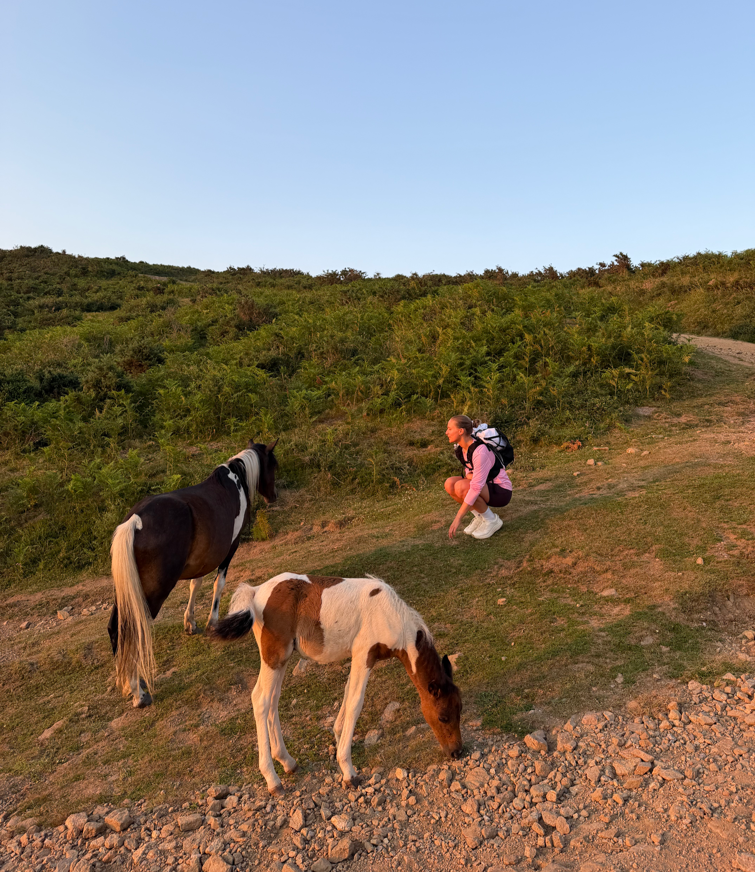
France’s Best Sunrise & Sunset Hikes

8 hikes in the Hautes-Alpes — mountain passes and high-altitude lakes

The most beautiful MTB and hiking tours in the French Maritime Alps
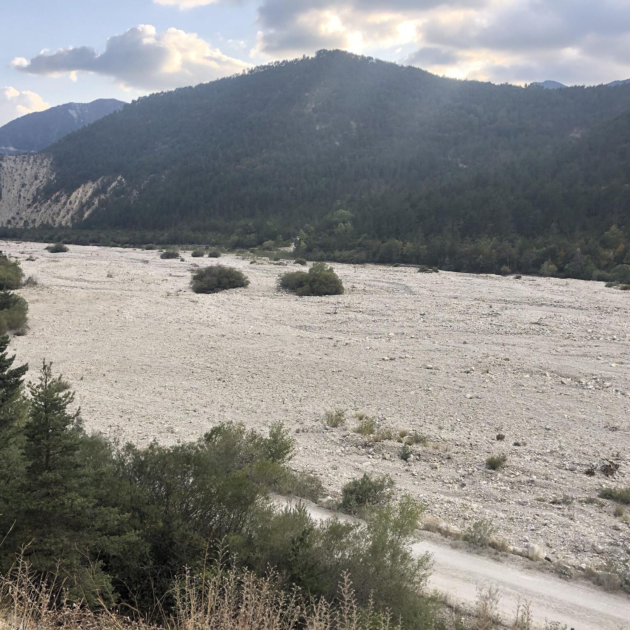
Road Cycling Routes around Montmaur
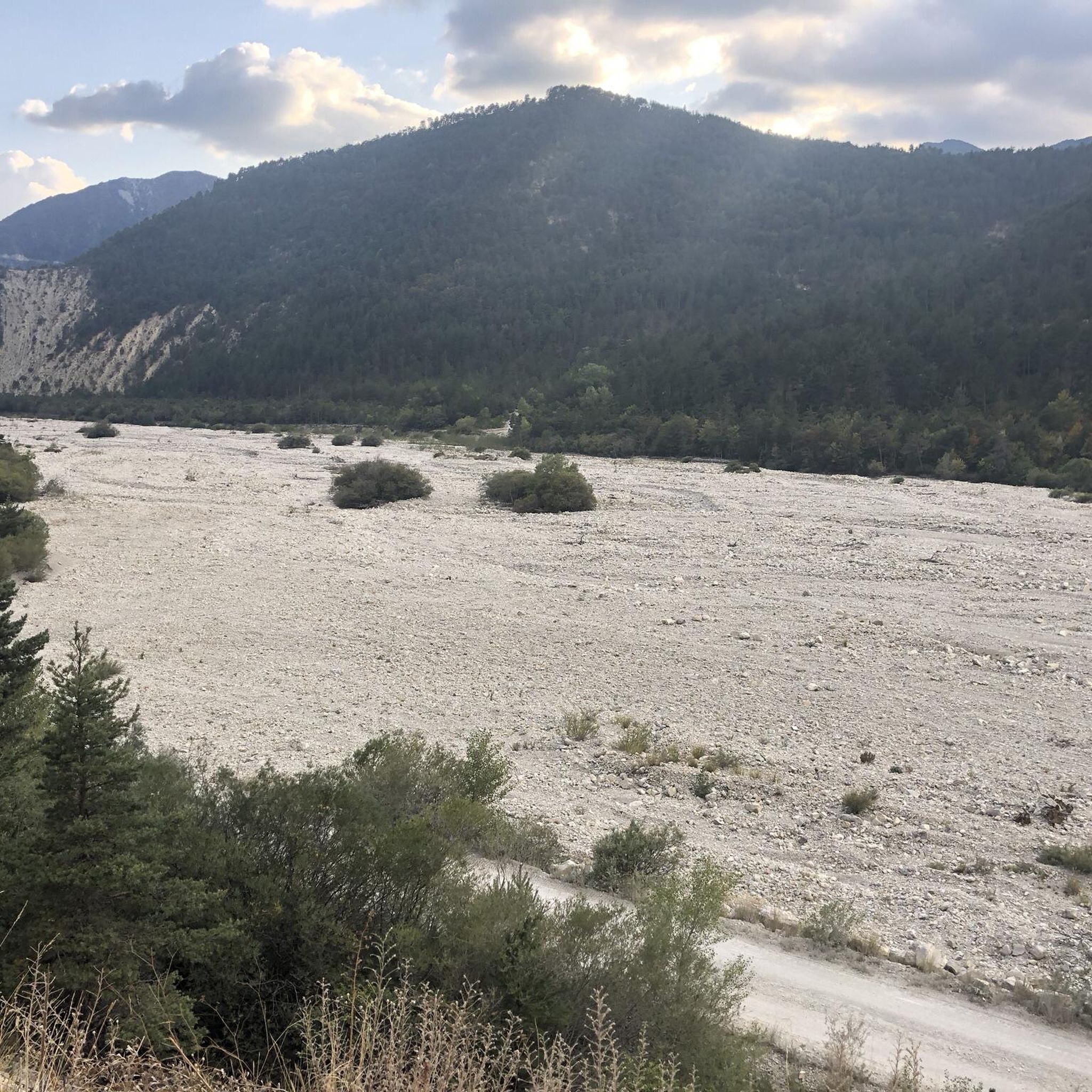
Hiking around Montmaur
Cycling around Montmaur
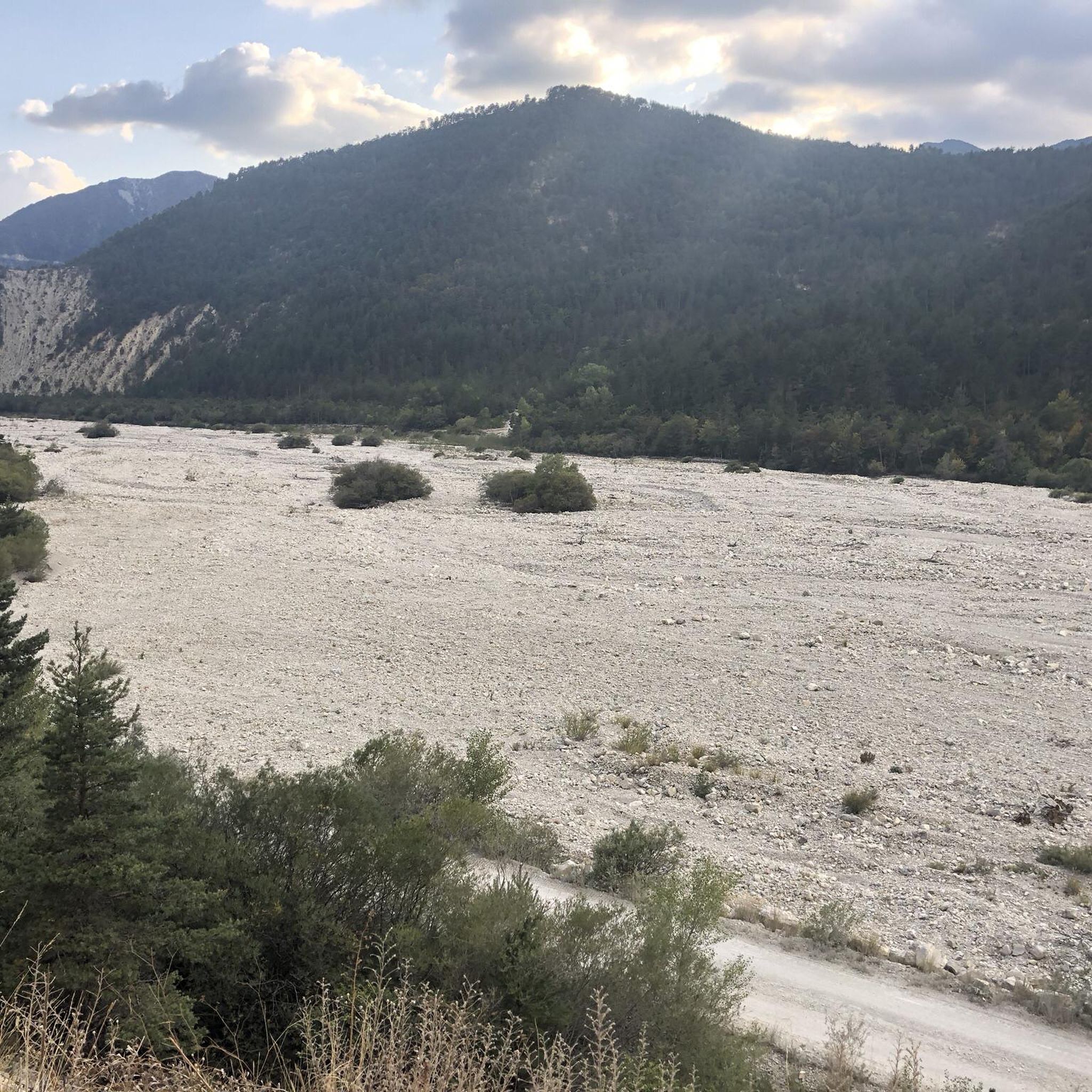
MTB Trails around Montmaur
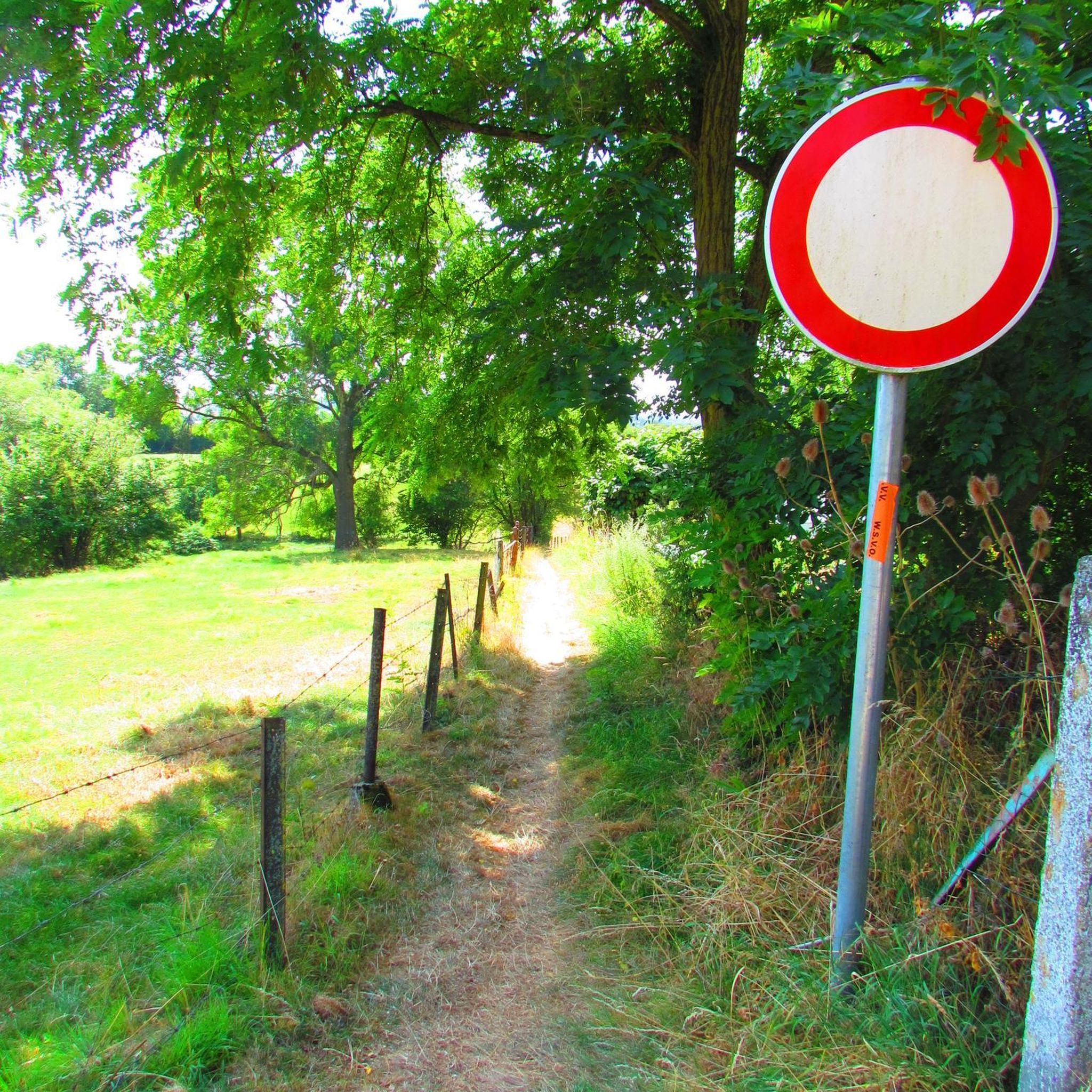
Gravel biking around Montmaur

Mountain Hikes around Montmaur
Other adventures around Montmaur


Tips from the Community

The Fontaine du Vallon is a water source. It also offers a spot of shade before facing the climb towards the Pic de Bure, very exposed to the sun. This is a good spot to rest before continuing.
0
0
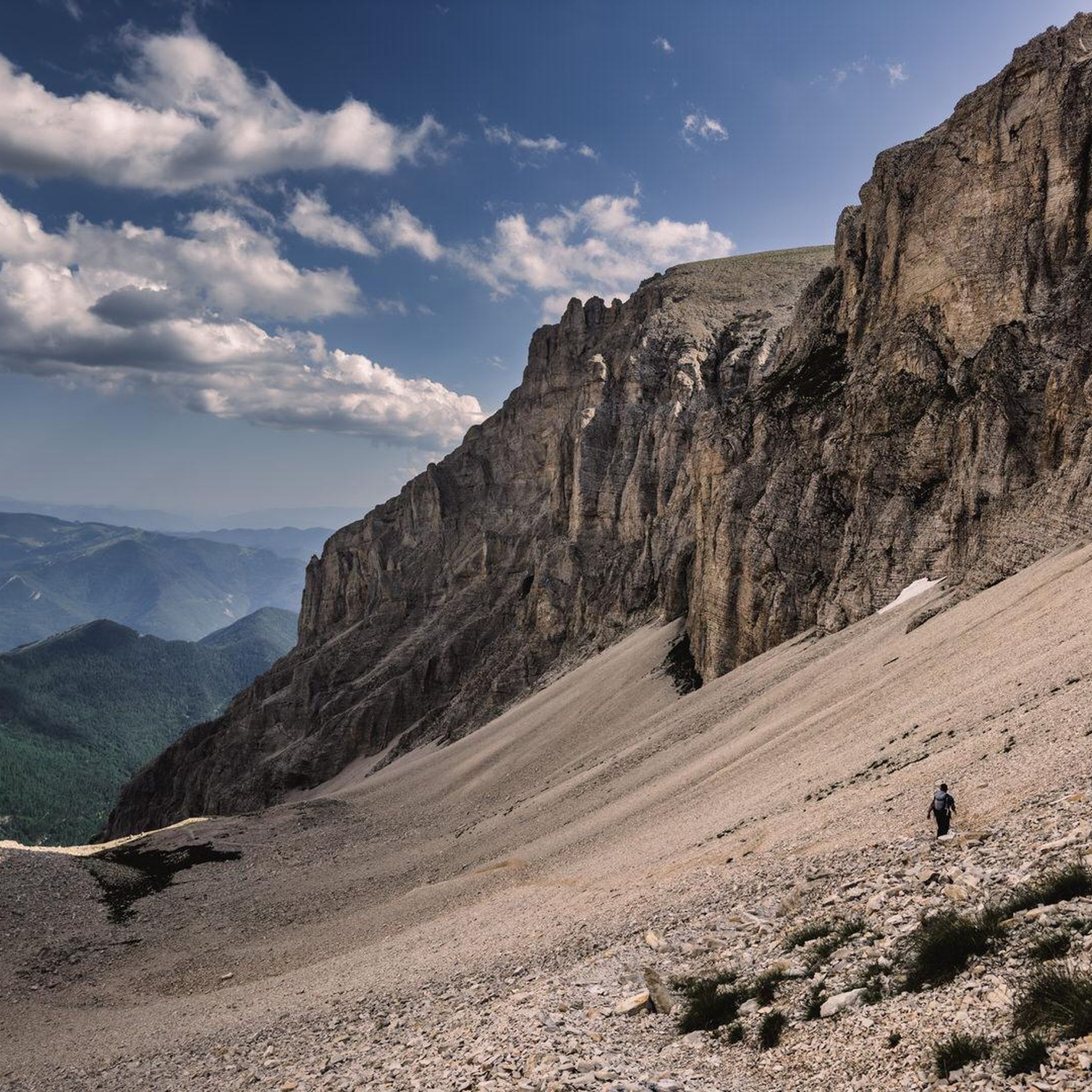
The combe d'Aurouze is an immense and steep scree slope that allows access to the Bure plateau. A lunar atmosphere with mountain panoramas. The landscape is striking.
0
0
The path winds through the middle of these flowery alpine meadows while offering magnificent panoramas towards Veynois and the Pays du Buëch.
0
0
The car park is accessible at the end of the Sauvas forest road. From there, you are at the start of the path which leads to the very mineral summits of Dévoluy.
0
0

The Montagne de Céüse culminates at an altitude of 2,016m. It is included in the Natura 2000 protected area. Some of the most extreme climbing routes in the world are found on the cliffs of the mountain. From the top there is an exceptional view.
0
1


Frequently Asked Questions
How many running routes are available around Montmaur?
Montmaur offers a wide selection of running routes, with over 200 trails available for exploration. These routes cater to various preferences, from gentle jogs across plains to challenging climbs in the Southern French Alps.
What kind of terrain can I expect on jogging routes in Montmaur?
The terrain around Montmaur is incredibly diverse. You'll find accessible, relatively flat paths across vast plains, scenic routes through the Drôme Valley with views of vineyards and orchards, and more challenging trails in the surrounding massifs and forests like the Forêt des Sauvas. Expect a mix of cultivated land and wild nature.
Are there any easy or beginner-friendly running trails in Montmaur?
Yes, Montmaur has options for all skill levels. While many routes offer significant elevation, there are 11 easy routes and 86 moderate routes. For a relatively flat and scenic experience, consider routes that explore the plains or the Drôme Valley. An example of a moderate route is the Hameau de Saint-Marcellin – Iscles Pond loop from Furmeyer, which leads through valley and pond scenery.
Where can I find challenging trail running routes with significant elevation gain?
For experienced runners seeking a challenge, Montmaur's location in the Southern French Alps provides numerous difficult routes. There are 113 difficult routes available. Trails leading to massifs like Pic de Bure or around Céüse offer substantial climbs and panoramic rewards. A particularly demanding option is the Plateau de Bure – Pic de Bure loop from Montmaur, which features nearly 1900 meters of elevation gain.
Are there any circular running routes in the Montmaur area?
Yes, many of the running routes around Montmaur are designed as loops, allowing you to start and finish at the same point. For instance, the Running loop from Sérigons is a moderate circular route. The Plateau de Bure – Pic de Bure loop from Pré Fontaine is another popular, albeit difficult, circular option.
What kind of scenic viewpoints or landmarks can I see along the running routes?
Montmaur's routes offer breathtaking scenery. You can enjoy expansive views over the Drôme Valley, the Southern French Alps, and unique geological formations like the crumbling marl rocks near Espréaux Pass. The historic Col du Noyer (1664 m) also provides indescribable beauty. You might even incorporate the 14th-century Montmaur Château into your run for a cultural element.
Are there any dog-friendly running trails in Montmaur?
While specific regulations can vary, many natural trails in the Montmaur region are generally suitable for running with dogs, especially those away from protected wildlife areas or private land. It's always recommended to keep your dog on a leash and ensure they are well-behaved, particularly when encountering other trail users or livestock. Always check local signage for any restrictions.
Can I find family-friendly jogging routes suitable for all ages?
Yes, Montmaur offers family-friendly options, particularly on the flatter plains and along the Drôme Valley. These routes provide accessible paths with less elevation, making them suitable for families with children or those looking for a more relaxed pace. Look for routes marked as 'easy' or 'moderate' for the best family experience.
What do other runners say about the trails in Montmaur?
The running routes in Montmaur are highly regarded by the komoot community, boasting an average rating of 4.4 stars from over 50 reviews. Runners frequently praise the diverse terrain, from mountain views to valley paths and forest trails, and appreciate the variety of options available for different ability levels.
Is public transport available to access running trailheads in Montmaur?
Montmaur is a village in a rural alpine setting. While local bus services might connect Montmaur to larger towns like Gap or Veynes, direct public transport to specific trailheads can be limited. It's often advisable to use a car to reach the starting points of many routes, especially those higher in the mountains. Check local transport schedules for the most up-to-date information.
Are there any permits required for trail running in the Montmaur area, especially in the mountains?
Generally, permits are not required for recreational trail running on established paths in the Montmaur area. However, if you plan to venture into specific protected natural reserves or private land, it's always wise to check for any local regulations or access restrictions. For areas like the Plateau de Bure or Pic de Bure, standard mountain etiquette and respect for the environment are expected.
Most popular routes around Montmaur
Most popular attractions around Montmaur

Get inspired with the komoot mobile app


Explore more
Browse the best Running Trails & Routes in other regions.
