The best gravel rides around Châteauroux-Les-Alpes
4.5
(54)
361
riders
42
rides
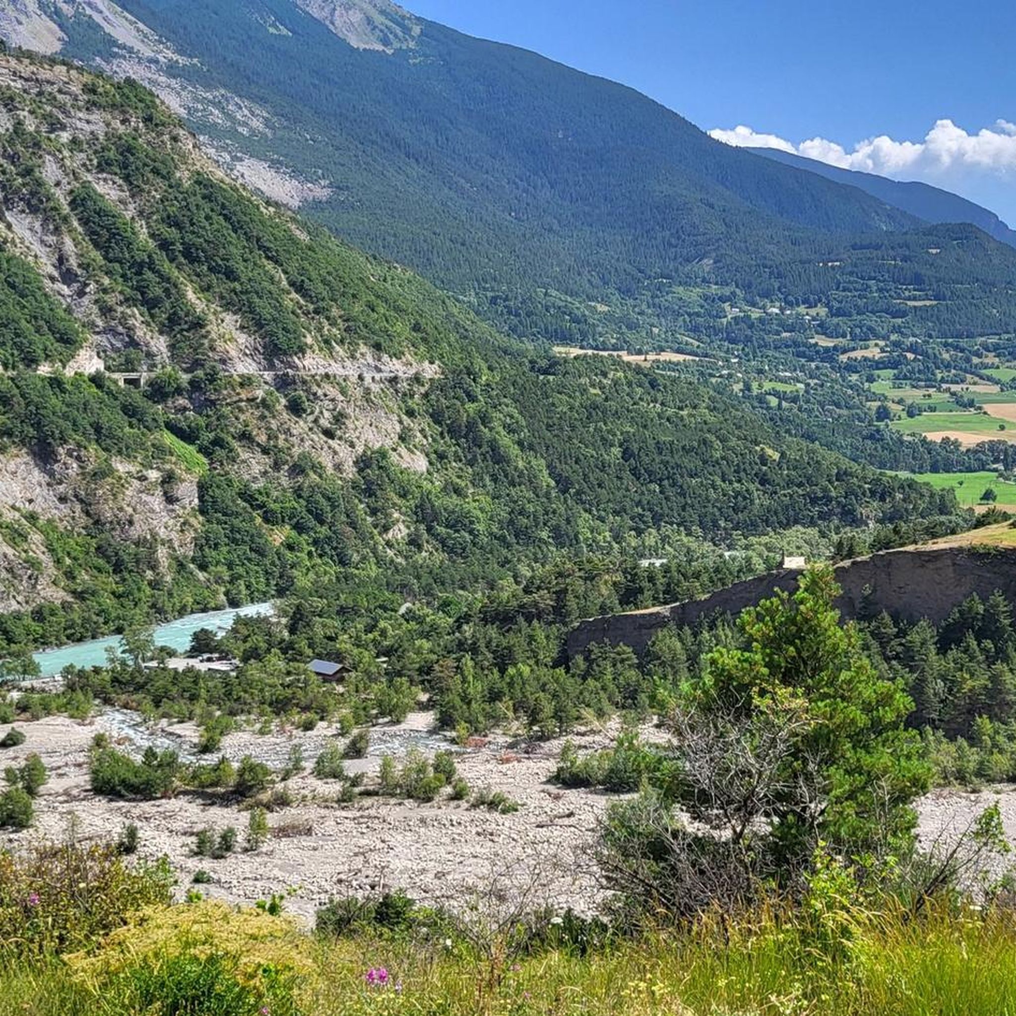
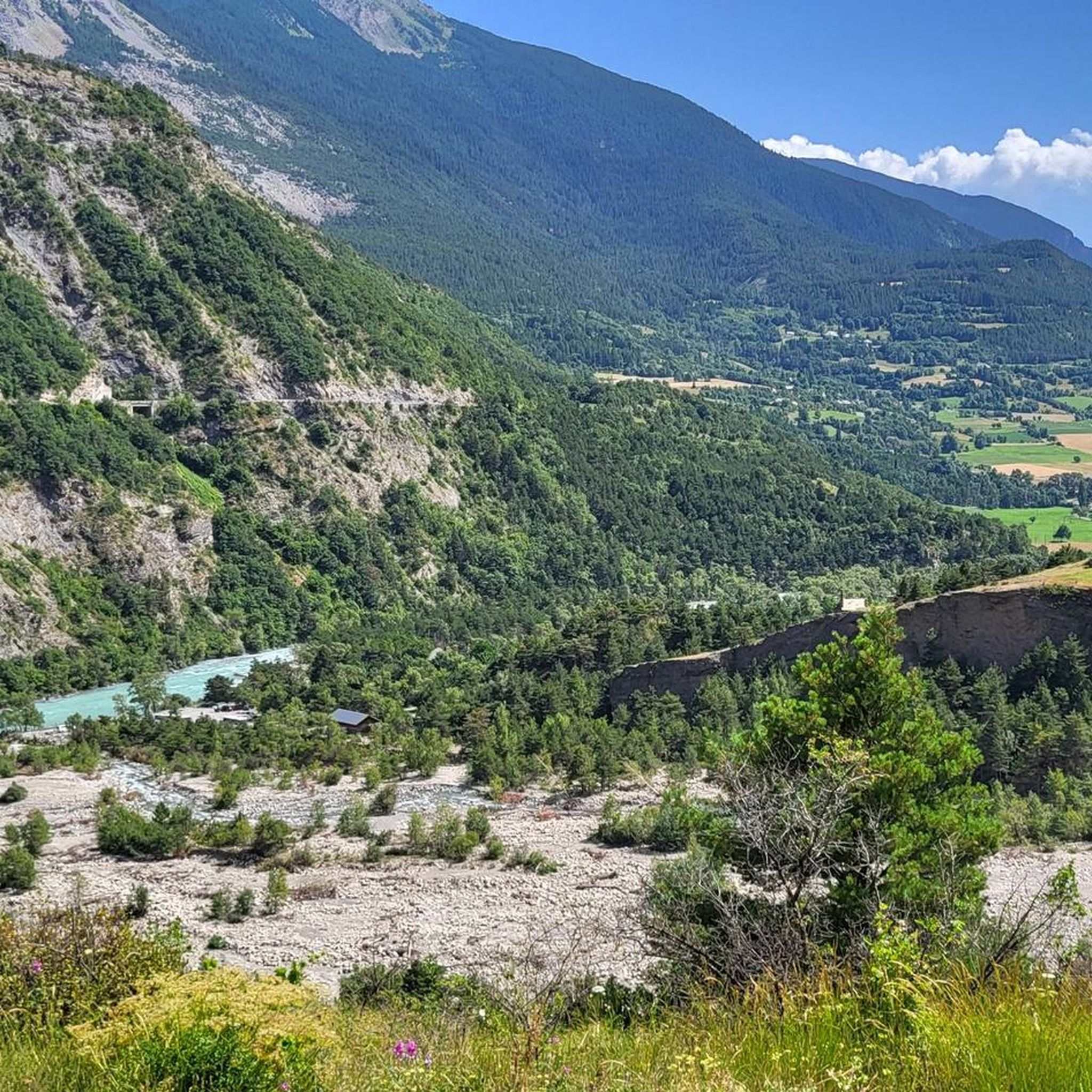
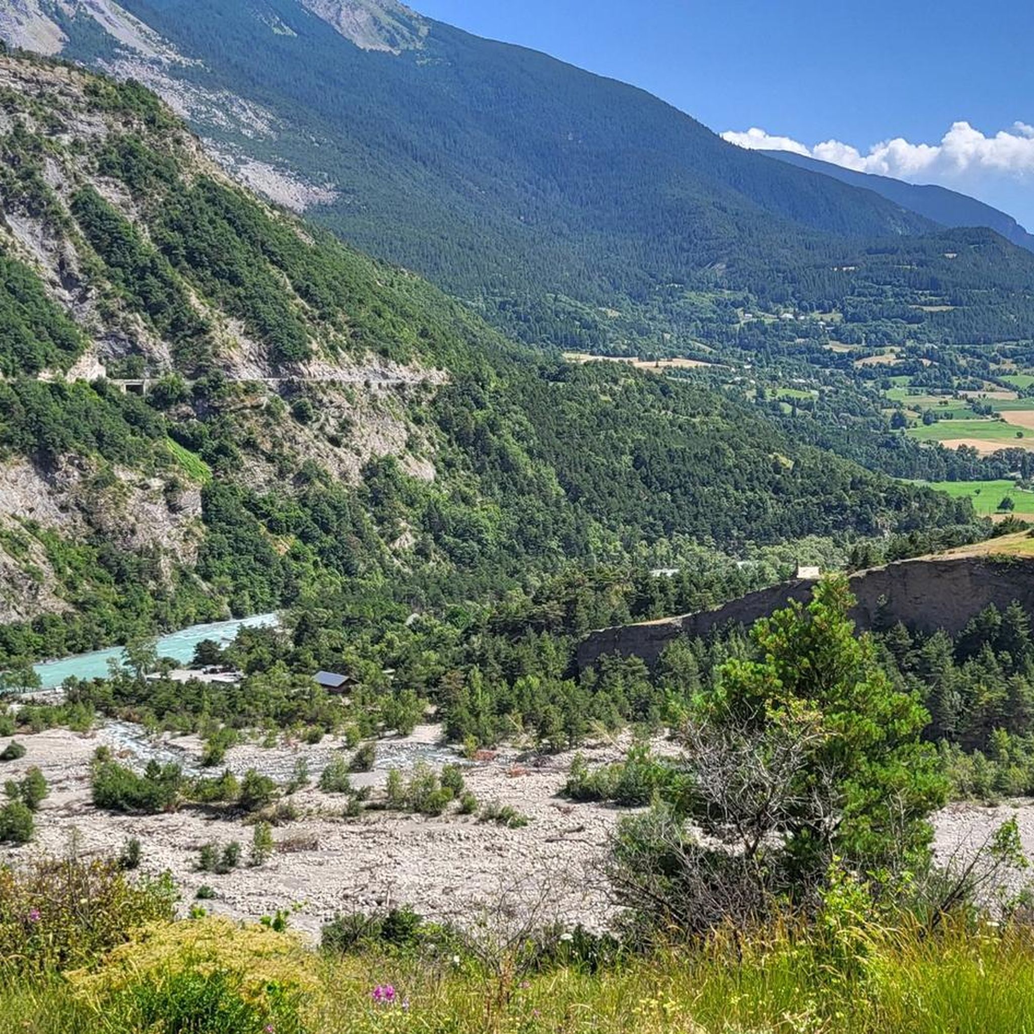
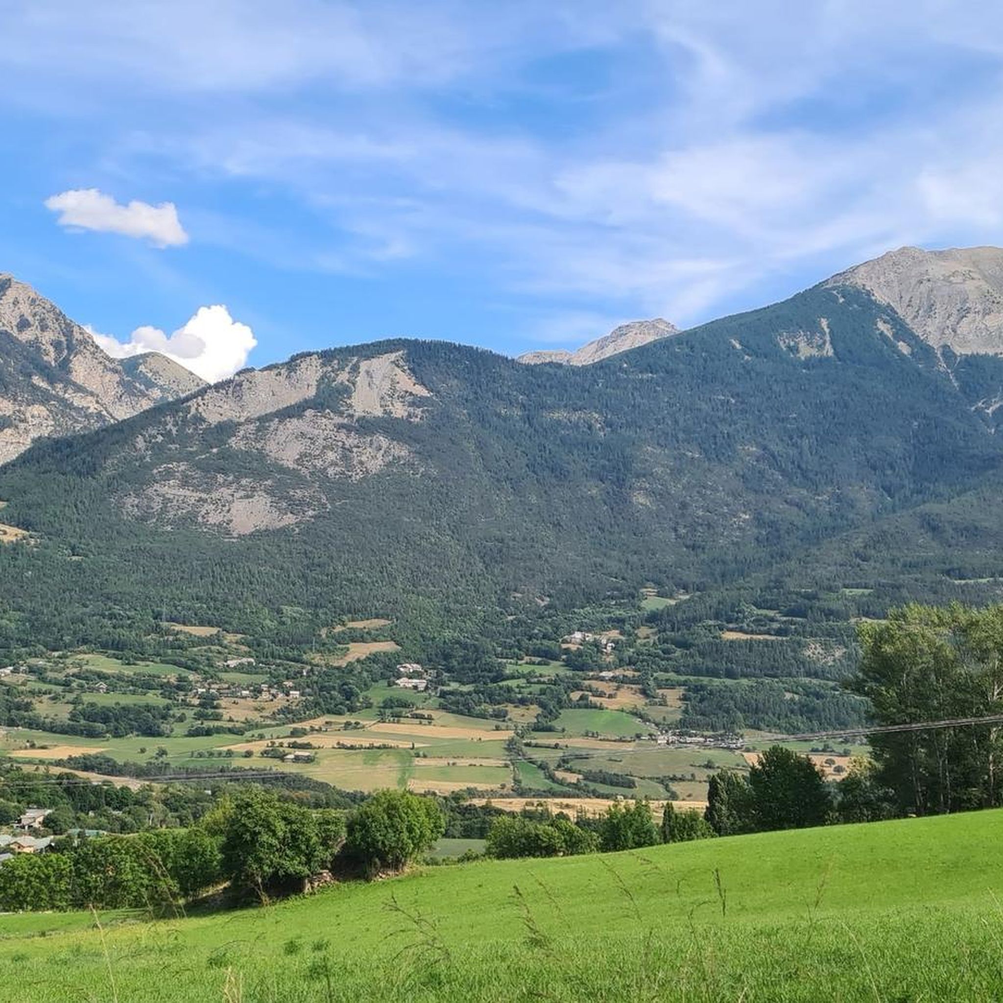
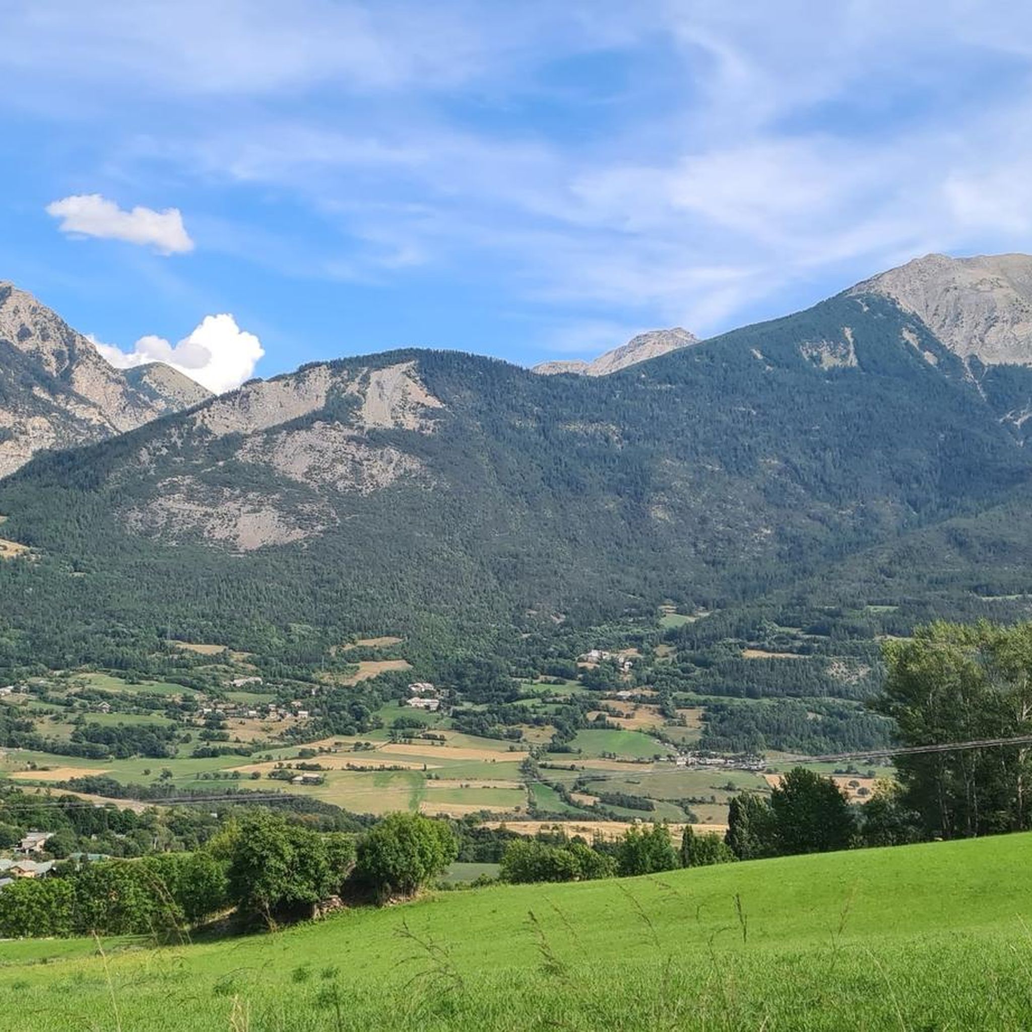
Gravel biking around Châteauroux-Les-Alpes offers diverse landscapes, from the banks of the Durance River to high alpine peaks. The region serves as a gateway to the Écrins National Park, providing varied terrains suitable for different skill levels. Riders can explore routes near the vast Lake Serre-Ponçon and through valleys leading to impressive natural features. This area is characterized by its dramatic topography, including limestone needles and significant elevation changes.
Best gravel bike trails around Châteauroux-Les-Alpes
- The most popular gravel bike trail is The mythical tunnel du Parpaillon, a 68.7 miles (110.5 km) trail that takes about 10 hours 52 minutes to complete. This difficult route features significant elevation gain through mountainous terrain.
- Another top favourite among local gravel bikers is Azure blue water and gravel at 'Le Petit Nice' Embrun, a difficult 31.8 miles (51.1 km) path. This route offers scenic views of azure waters and gravel paths near Embrun.
- Local gravel bikers also love the Pont Neuf over the Durance – Eglise St Sauveur loop from Embrun, a 27.1 miles (43.6 km) trail leading through the Durance River valley, often completed in about 4 hours 21 minutes.
- Gravel biking around Châteauroux-Les-Alpes is defined by the Durance River, the Écrins National Park, and views of Lake Serre-Ponçon. The network offers options for various ability levels, from challenging mountain ascents to more moderate valley rides.
- The routes in Châteauroux-Les-Alpes are highly rated by the komoot community with an average score of 4.6 stars from more than 60 reviews. More than 500 gravel bikers have used komoot to explore Châteauroux-Les-Alpes's varied terrain.
Last updated: July 3, 2026
3.0
(1)
11
riders
111km
10:52
2,960m
2,970m
Hard gravel ride. Very good fitness required. Mostly paved surfaces. Suitable for all skill levels.
4.0
(2)
16
riders
51.1km
04:48
1,280m
1,280m
Hard gravel ride. Very good fitness required. Mostly paved surfaces. Suitable for all skill levels.

Sign up for free
4.8
(8)
25
riders
44.1km
03:42
1,300m
1,300m
Hard gravel ride. Very good fitness required. Mostly paved surfaces. Suitable for all skill levels.
5.0
(1)
22
riders
72.2km
05:16
1,910m
1,910m
Hard gravel ride. Very good fitness required. Mostly paved surfaces. Suitable for all skill levels.
2
riders
30.5km
02:53
1,060m
1,060m
Hard gravel ride. Very good fitness required. Mostly paved surfaces. Suitable for all skill levels.
Get access to more routes and recommendations from other explorers.
Sign up for free
Already have an account?
Our route recommendations are based on thousands of hikes, rides, and runs completed by other people on komoot.
Start today with a free account
Your next adventure awaits.
Login or Signup

Tips from the Community

There are four tunnels, the smaller ones a few hundred meters long, the longest about 2.8 km! It was pitch black (yes, I had my bike lights on), wet, and dripping from the ceiling. I found it totally creepy and wouldn't go through it alone again.
0
0

The tunnel is closed. Carrying your bike over the scree is the only option, but it's very challenging.
0
0

Here the asphalt road ends and you can no longer continue on the BDC.
18
0
Once you reach the top of this long climb you can enjoy the beauty of Risoul and its landscapes.
4
0
From here you can admire Lake Sarre-Ponçon.
10
0

Nice trail, very fun but you have to be careful who is walking on it
0
0

Cycled it today. It feels like it is not maintained and starts to be overgrown. Also, when turning from the road after the roundabout, you will have to cross a closed barrier.
1
0

Artificial lake but with beautiful colors
0
0
Frequently Asked Questions
How many gravel bike trails are available around Châteauroux-Les-Alpes?
There are over 50 gravel bike trails in the Châteauroux-Les-Alpes region. These routes offer a diverse range of experiences, from challenging mountain ascents to more moderate valley rides, catering to various skill levels.
What is the best time of year for gravel biking in Châteauroux-Les-Alpes?
The region is ideal for gravel biking from late spring through early autumn. During these months, the weather is generally favorable, and the high mountain passes are more accessible. Summer offers warm conditions perfect for exploring the diverse landscapes, though some higher routes might still have snow early in the season.
What kind of terrain can I expect on gravel bike trails in this region?
Gravel biking around Châteauroux-Les-Alpes offers incredibly diverse terrain. You'll find everything from smooth gravel paths along the Durance River to more rugged, technical sections in the foothills of the Écrins National Park. Expect significant elevation changes on many routes, with stunning views of alpine peaks, valleys, and Lake Serre-Ponçon.
Are there gravel bike routes suitable for beginners in Châteauroux-Les-Alpes?
Yes, there are a few easier gravel bike routes available, with 4 classified as easy. These typically follow gentler gradients along valleys or around the Durance River, offering a good introduction to gravel biking in the area without overly technical sections or extreme elevation gain.
Where can I find challenging gravel bike routes near Châteauroux-Les-Alpes?
For experienced gravel bikers seeking a challenge, the region offers numerous difficult routes, with 43 classified as such. A prime example is The mythical tunnel du Parpaillon, which is a demanding 68.7-mile (110.5 km) trail with significant elevation gain through mountainous terrain.
Can I find circular gravel bike routes in Châteauroux-Les-Alpes?
Yes, many gravel bike routes in the region are designed as loops, allowing you to start and finish in the same location. An excellent example is the Pont Neuf over the Durance – Eglise St Sauveur loop from Embrun, a 27.1-mile (43.6 km) trail that takes you through the Durance River valley.
What scenic viewpoints or natural attractions can I see along the gravel bike trails?
The trails often lead to breathtaking natural attractions. You can encounter the magnificent Chabrières Needles, which offer panoramic views, or ride past the tranquil Lac de Saint-Apollinaire. Many routes also provide stunning vistas of the vast Lake Serre-Ponçon, especially from points like Mount Guillaume.
Are there any routes that pass by waterfalls?
While not directly on a featured gravel route, the impressive Cascade de la Pisse, a 40-meter waterfall in the Rabioux valley, is a notable natural landmark in the region. Some gravel routes might offer views or access points to this area, providing an opportunity to combine your ride with a short hike to the falls.
Are there gravel bike routes that offer views of Lake Serre-Ponçon?
Absolutely. Many routes in the Châteauroux-Les-Alpes area feature stunning views of Lake Serre-Ponçon, one of Europe's largest artificial lakes. For instance, the route Azure blue water and gravel at 'Le Petit Nice' Embrun offers scenic views of its azure waters. You can also find viewpoints from locations like Mount Guillaume and Chabrières Needles.
What do other gravel bikers say about the trails in Châteauroux-Les-Alpes?
The gravel biking routes in Châteauroux-Les-Alpes are highly rated by the komoot community, with an average score of 4.6 stars from over 60 reviews. Riders frequently praise the diverse landscapes, the stunning views of Lake Serre-Ponçon, and the challenging yet rewarding ascents through the Durance River valley and towards the Écrins National Park.
Are there any gravel routes that follow the Durance River?
Yes, the Durance River is a prominent feature of the region, and several gravel routes follow its course or offer views of its valley. The Pont Neuf over the Durance – View of the Durance Valley loop from Embrun is a great option, covering 73.2 miles (117.9 km) and showcasing the river's beauty.
Are there any gravel routes that are particularly scenic?
Many routes in the region are incredibly scenic, offering a blend of mountain vistas, river views, and glimpses of Lake Serre-Ponçon. The route Azure blue water and gravel at 'Le Petit Nice' Embrun is particularly noted for its beautiful water views and gravel paths. Additionally, routes venturing into the Écrins National Park provide breathtaking high-mountain scenery.
Most popular routes around Châteauroux-Les-Alpes
Most popular attractions around Châteauroux-Les-Alpes

Get inspired with the komoot mobile app


Explore more
Browse the best Gravel rides in other regions.
