Châteauroux-Les-Alpes
Châteauroux-Les-Alpes
The best walks and hikes around Châteauroux-Les-Alpes
4.5
(2111)
15,609
hikers
26
hikes
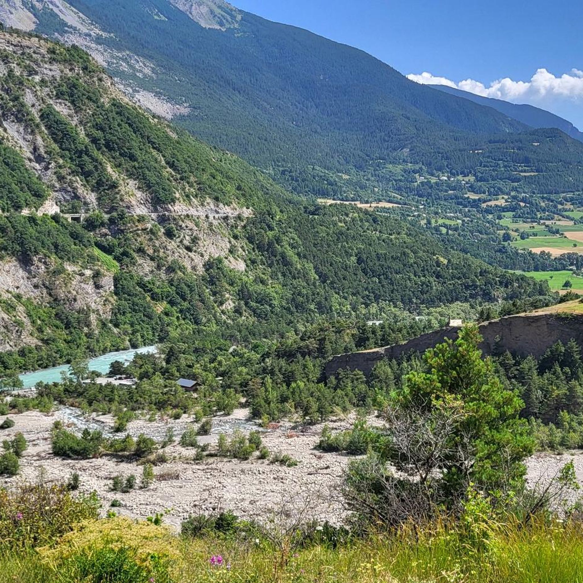
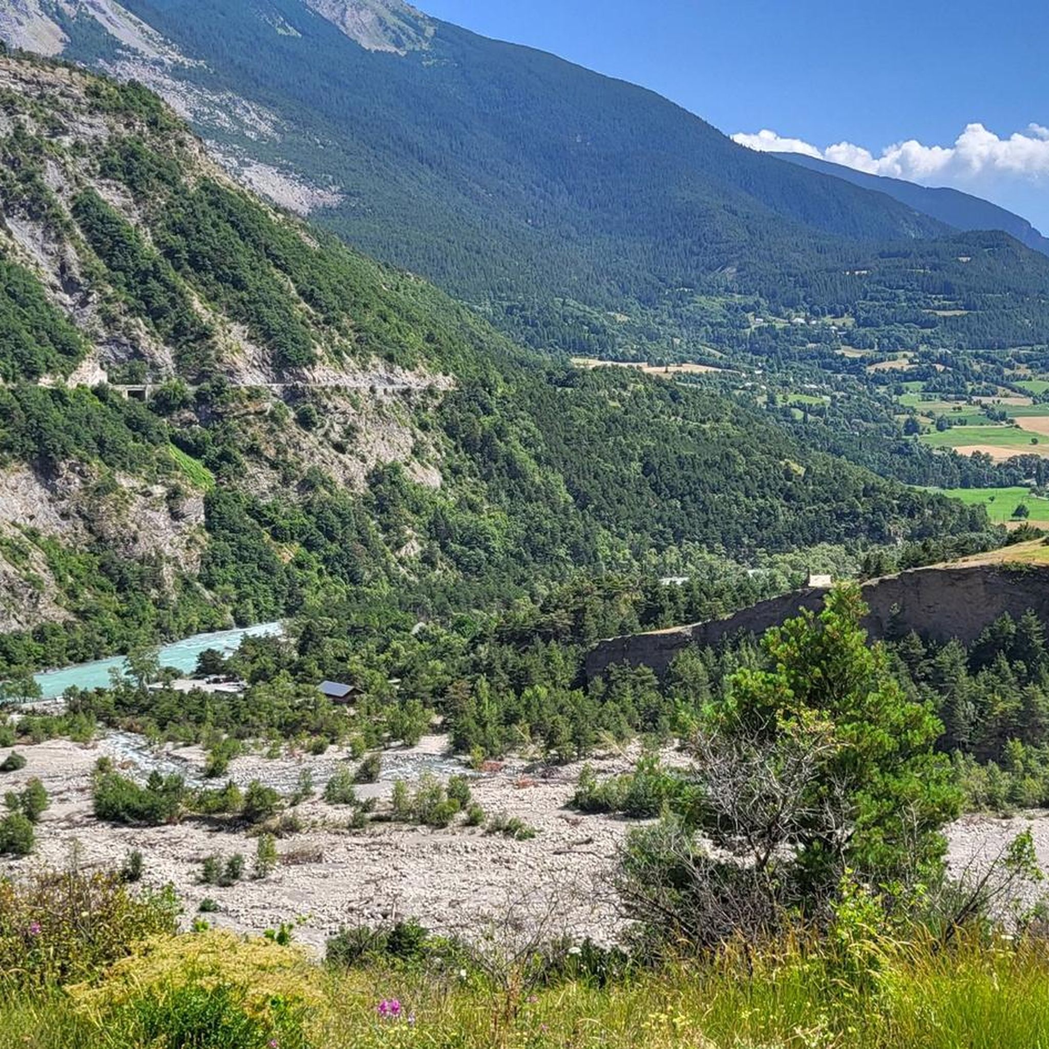
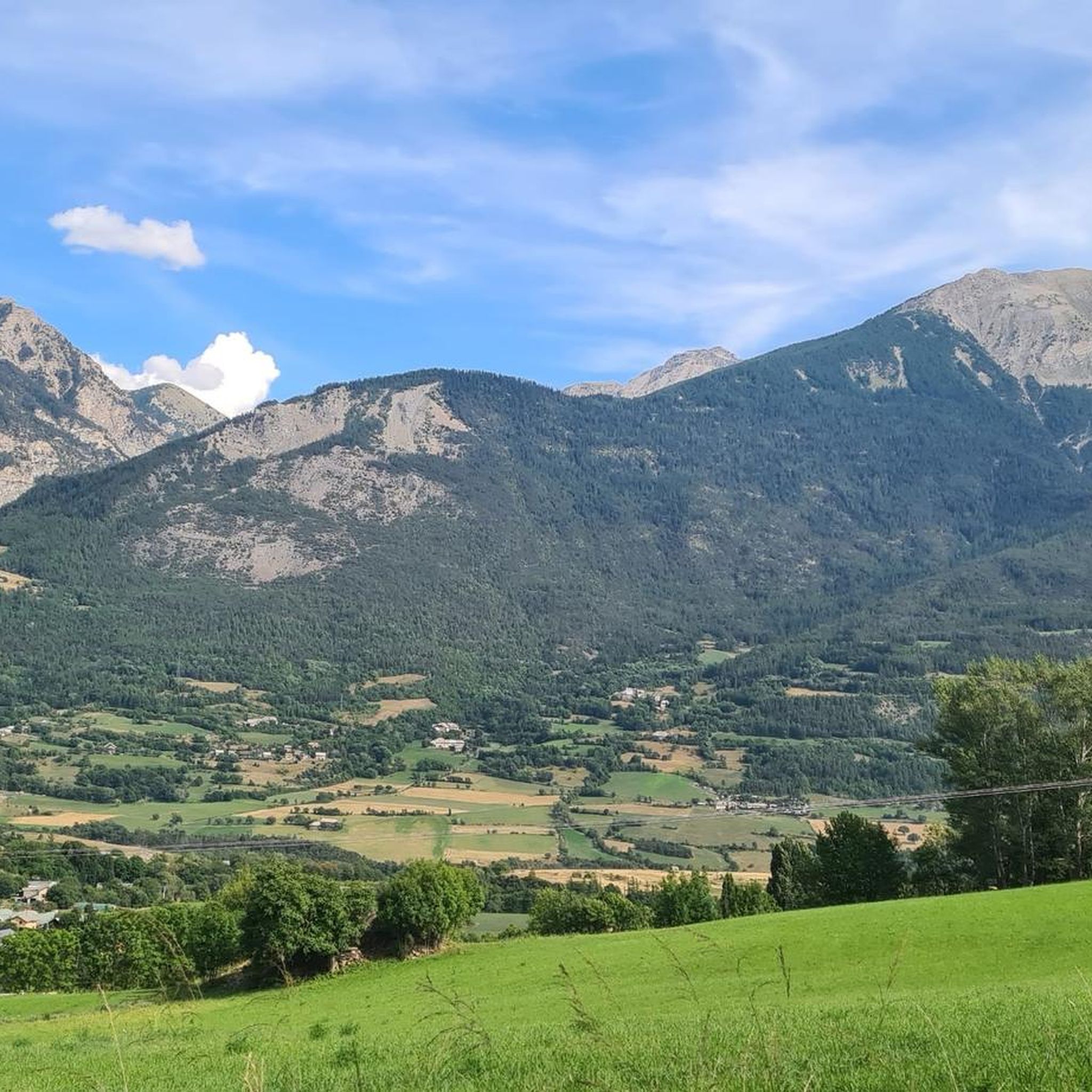
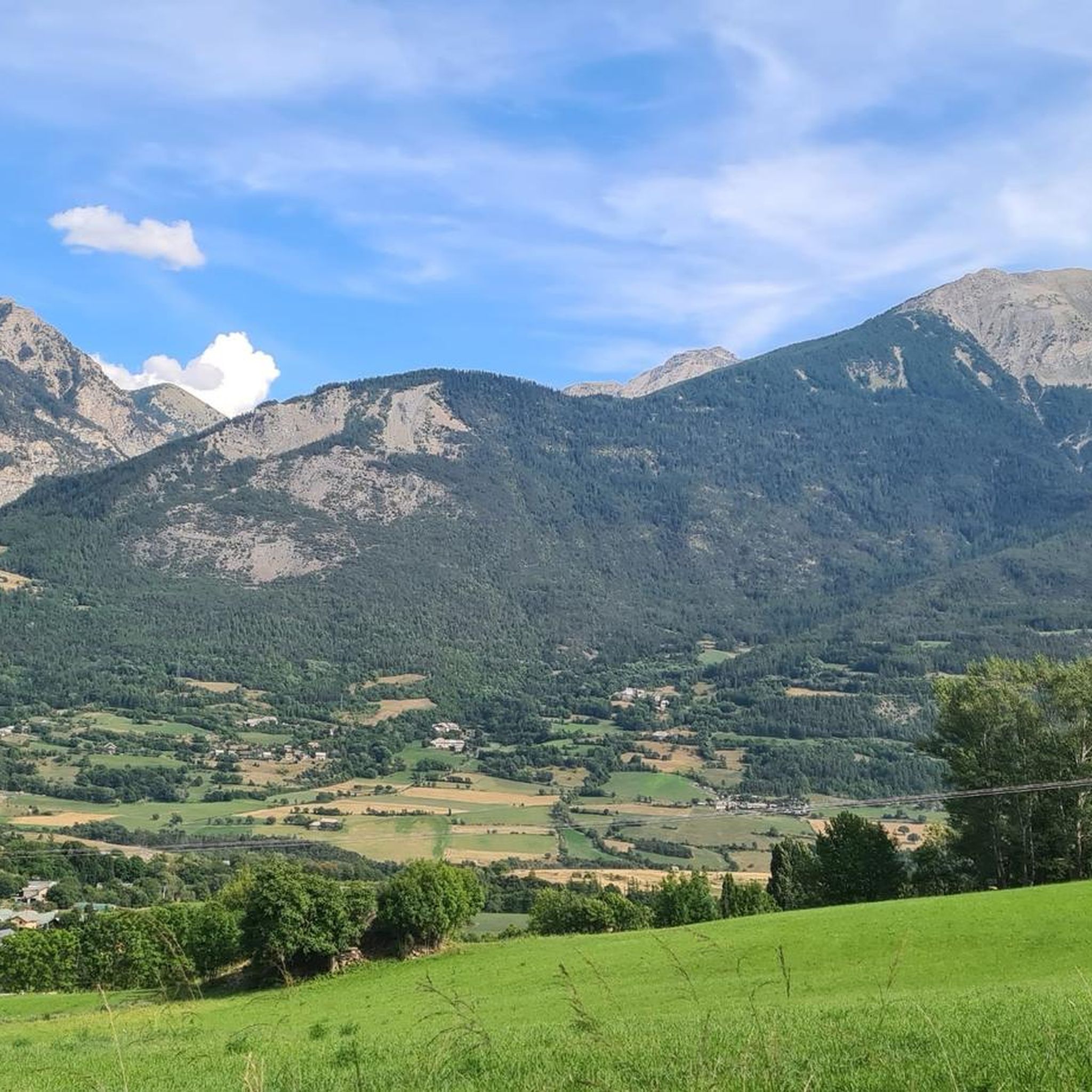
Hiking around Châteauroux-Les-Alpes offers access to diverse natural landscapes, situated at the gateway to the Écrins National Park. The region features prominent mountains, wild valleys, and clear torrents, alongside ancient irrigation canals. Hikers can explore areas with waterfalls, high passes, and panoramic views of Lac de Serre-Ponçon. The terrain varies from gentle paths along canals to challenging ascents in mountainous areas.
Best hiking trails around Châteauroux-Les-Alpes
- The most popular hiking route is Le Rabioux – View of Cascade de la…
Last updated: October 12, 2026
4.5
(66)
569
hikers
9.98km
02:59
300m
300m
Moderate hike. Good fitness required. Easily-accessible paths. Suitable for all skill levels.
4.8
(6)
81
hikers
19.9km
07:26
1,290m
1,290m
Hard hike. Very good fitness required. Easily-accessible paths. Suitable for all skill levels.

4.7
(6)
58
hikers
4.70km
01:32
180m
180m
Moderate hike. Great for any fitness level. Mostly accessible paths. Sure-footedness required.
4.0
(4)
37
hikers
13.5km
05:33
1,080m
1,080m
Hard hike. Very good fitness required. Easily-accessible paths. Suitable for all skill levels.
4.7
(3)
46
hikers
8.92km
02:37
240m
240m
Moderate hike. Good fitness required. Mostly accessible paths. Sure-footedness required.
Get access to more routes and recommendations from other explorers.
Already have an account?
Our route recommendations are based on thousands of hikes, rides, and runs completed by other people on komoot.
Start today with a free account
Your next adventure awaits.


Tips from the Community

Welcome rock shelter for a break in very hot weather (good shade at midday) or in rainy weather.
0
0

beautiful historic canal and beautiful view of the Pisse waterfall
0
0

great trail and beautiful scenery!!
0
0

Superb walk. However, be careful, the second bridge no longer exists. It is therefore necessary to take off your shoes and cross the river (water up to your knees). I recommend doing the route in reverse!
0
0

impressive geological formations created by river erosion. These cavities carved into the rock offer a unique natural spectacle, testifying to the power of water throughout the ages. Visitors are drawn to these natural sights, offering fascinating insight into local geology.
0
0

The Friendship Bridge is a pretty wooden bridge which allows you to cross the Couleau. Enjoy the crystal clear water and this natural setting for a stopover.
0
0

Beautiful milk thistle field in the middle of the climb to Lac du Distroit.
0
0

The beginning of this walk...at the foot of the village
0
0
Frequently Asked Questions
How many hiking trails are available around Châteauroux-Les-Alpes?
There are nearly 30 hiking trails around Châteauroux-Les-Alpes, catering to various skill levels. You'll find 9 easy routes, 13 moderate paths, and 5 challenging trails for experienced hikers.
Are there any family-friendly hiking options in Châteauroux-Les-Alpes?
Yes, Châteauroux-Les-Alpes offers several family-friendly hikes. Easy walks often follow ancient irrigation canals like the Gramorel Canal or the Reyssas Canal, providing gentle paths through forests. The Pisse waterfall loop is also a popular choice for families.
What kind of natural features can I expect to see on hikes in this region?
The region is rich in natural beauty. You can discover impressive waterfalls like the 40-meter Cascade de la Pisse, serene lakes such as Lac du Distroit and Lac de L'Hivernet, and panoramic viewpoints offering stunning vistas of Lac de Serre-Ponçon. The wild Rabioux and Couleau valleys also feature unique geological formations known as 'Demoiselles Coiffées'.
Are there any hikes that offer views of Lac de Serre-Ponçon?
Many trails in the area provide magnificent panoramic views of Lac de Serre-Ponçon. For instance, hikes around Mont Orel are particularly known for their stunning vistas over this large artificial lake and the surrounding mountains.
Can I hike with my dog in Châteauroux-Les-Alpes?
While many areas are dog-friendly, Châteauroux-Les-Alpes is at the gateway to the Écrins National Park. Within the core zone of the National Park, dogs are generally not permitted, even on a leash, to protect wildlife. However, there are numerous trails outside the core zone, including those along the canals and to the Pisse waterfall, where dogs are welcome. Always check specific trail regulations.
What is the best time of year to go hiking in Châteauroux-Les-Alpes?
The best time for hiking in Châteauroux-Les-Alpes is typically from late spring to early autumn (May to October). During these months, the weather is generally mild, and most trails are free of snow. Summer offers lush landscapes, while autumn brings vibrant colors to the larch groves. Higher altitude trails may still have snow into early summer.
Are there any circular walks available?
Yes, many routes in Châteauroux-Les-Alpes are designed as circular walks. A popular example is the Le Rabioux – View of Cascade de la Pisse loop from Châteauroux-les-Alpes, which offers views of the Pisse waterfall and explores the Rabioux valley.
What do other hikers enjoy most about hiking in Châteauroux-Les-Alpes?
The area is highly rated by the komoot community, with an average score of 4.6 stars from over 1,800 reviews. Hikers often praise the diverse landscapes, from wild valleys and clear torrents to the stunning views of Lac de Serre-Ponçon and the proximity to the preserved nature of Écrins National Park.
Are there any challenging hikes for experienced trekkers?
Yes, for experienced trekkers, there are challenging routes that lead into high mountain terrain. An example is the difficult Giant's Kettle – Idyllische Kapelle loop from Col de la Règue, which offers expansive views within the Écrins National Park.
Where can I find information about the Écrins National Park?
Châteauroux-Les-Alpes is located at the entrance to the Écrins National Park. The Maison du Parc national des Écrins is situated in Châteauroux-Les-Alpes itself, providing resources and information for visitors about the park's trails, regulations, and natural heritage.
Are there any hikes that feature waterfalls?
Absolutely. The impressive Pisse waterfall is a significant attraction and a highlight on several trails. You can explore routes like the View of Cascade de la Pisse – Pisse Waterfall loop from Saint-Marcelin to experience this 40-meter cascade.
Most popular routes around Châteauroux-Les-Alpes
Most popular attractions around Châteauroux-Les-Alpes

Get inspired with the komoot mobile app


Explore more
Browse the best Hikes in other regions.
