The best mountain hikes around Châteauroux-Les-Alpes
4.7
(13)
65
hikers
9
hikes
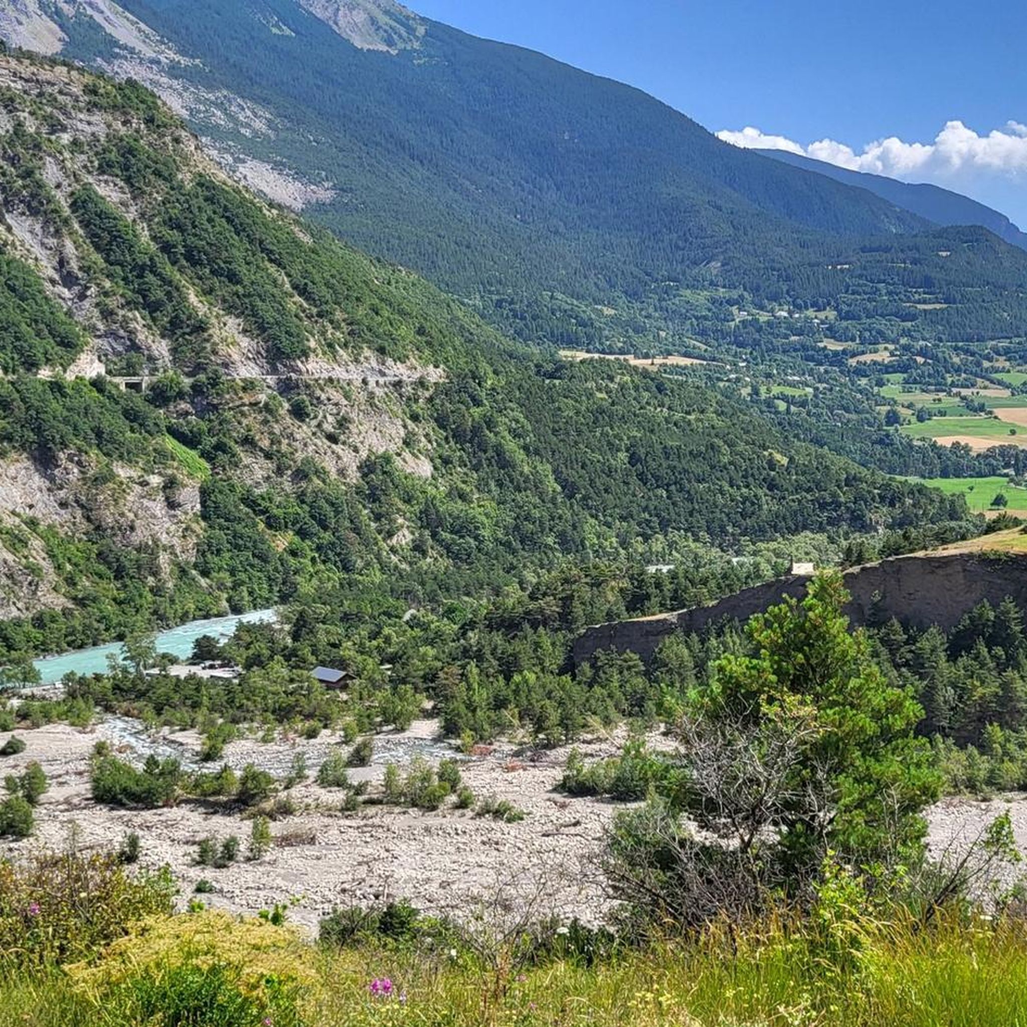
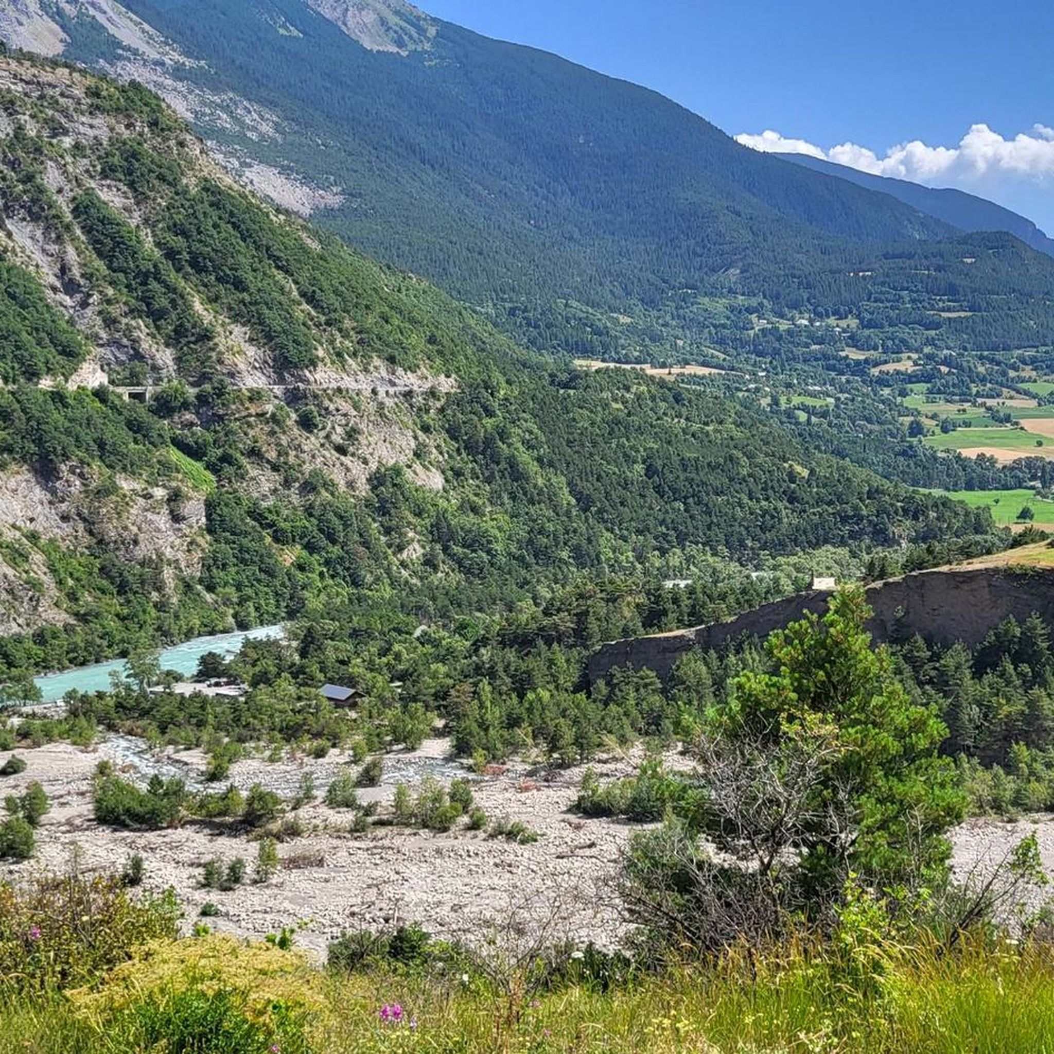
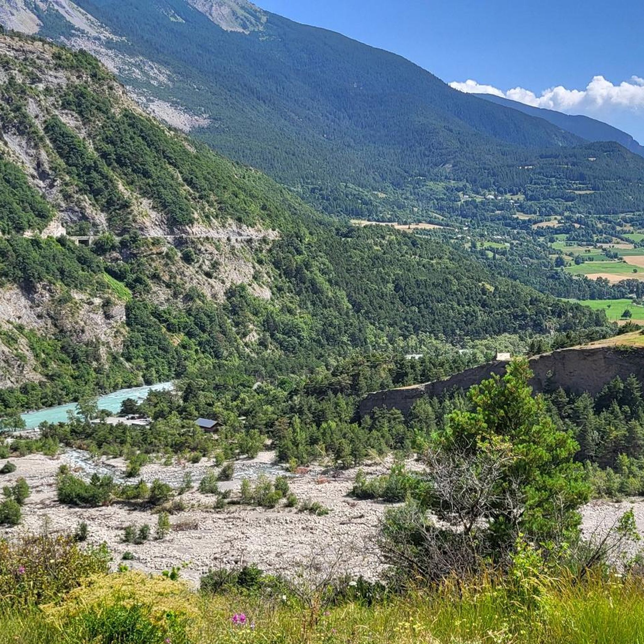
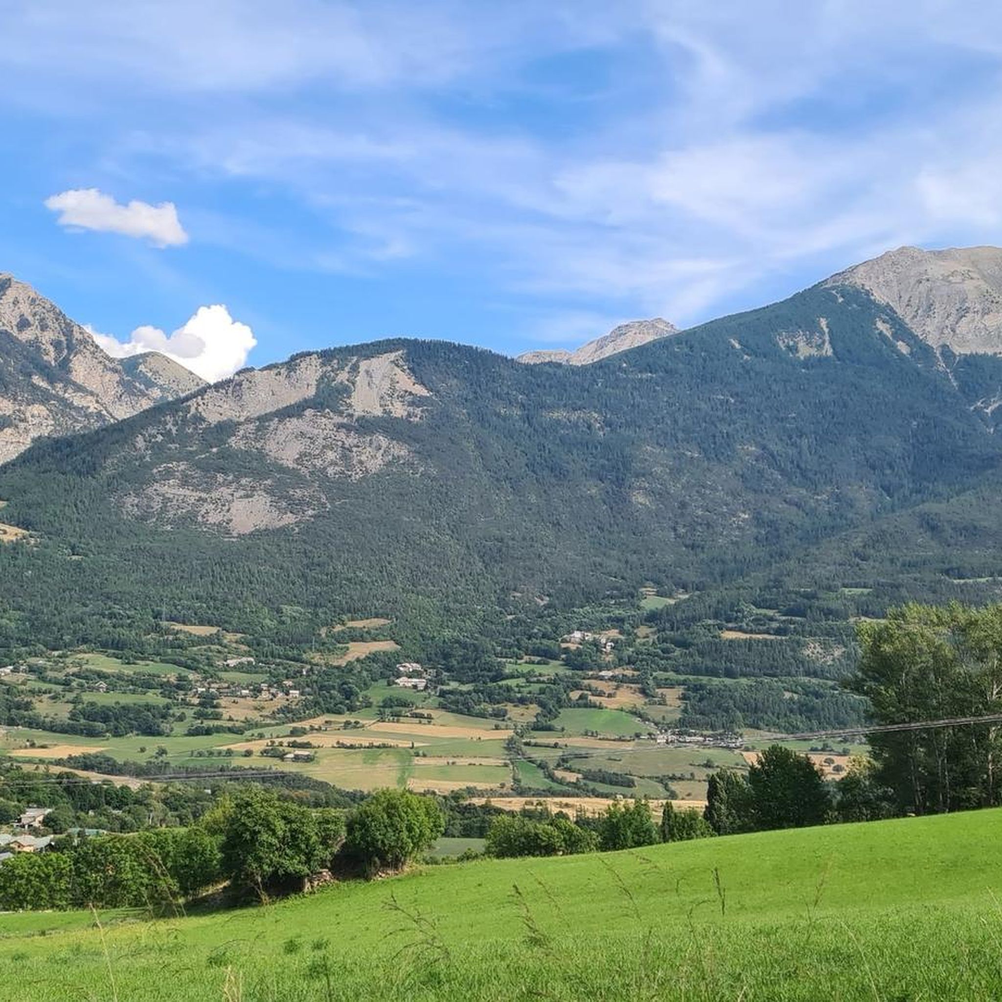
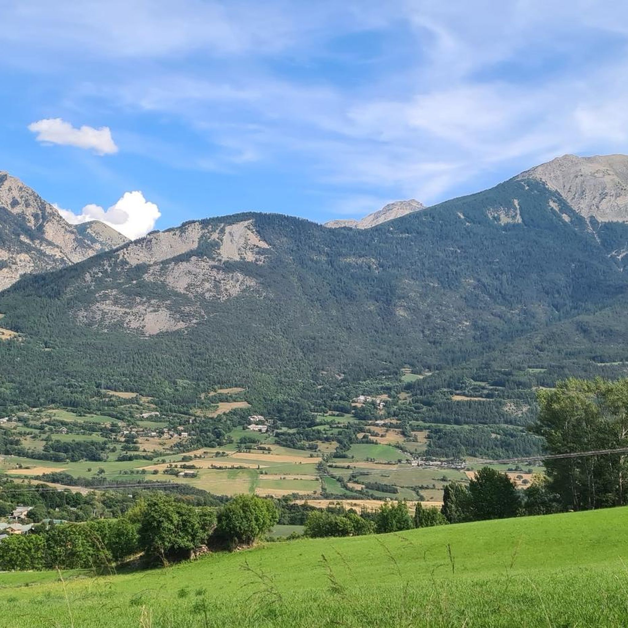
Mountaineering routes around Châteauroux-Les-Alpes offer access to diverse alpine landscapes, situated at the gateway to the Écrins National Park. The region features rugged mountain terrain with peaks like Mont Guillaume and Mont Orel, alongside high-mountain lakes and the Durance River. These environments provide challenging climbs and panoramic vistas for experienced mountaineers.
Best mountaineering routes around Châteauroux-Les-Alpes
- The most popular mountaineering route is Palluel Lake loop from Parking riverains, an 8.5 miles (13.6 km) trail that takes 6 hours 20 minutes to complete. This difficult route ascends to a scenic high-mountain lake.
- Another top favourite among local mountaineers is Mountaineering loop from Parking de la Forêt, a difficult 7.3 miles (11.8 km) path. This route offers sustained climbing through forested and open alpine terrain.
- Local mountaineers also love the Panoramic loop from Station de Ski de Réallon, a 6.9 miles (11.2 km) trail leading through varied alpine landscapes, often completed in about 4 hours 45 minutes.
- Mountaineering around Châteauroux-Les-Alpes is defined by majestic Alpine landscapes, high-mountain lakes, and the Durance River gorges. The network offers options for different ability levels, including 8 moderate and 7 difficult mountaineering routes.
- The routes in Châteauroux-Les-Alpes are highly rated by the komoot community with an average score of 4.8 stars from over 20 reviews. More than 100 mountaineers have used komoot to explore Châteauroux-Les-Alpes's varied terrain.
Last updated: October 18, 2026
11
hikers
3.84km
02:19
350m
350m
Hard mountaineering route. Good fitness required. Sure-footedness, sturdy shoes and alpine experience required.
4.5
(2)
10
hikers
9.31km
04:16
760m
770m
Moderate mountaineering route. Good fitness required. Mostly accessible paths. Sure-footedness required.

4.7
(3)
7
hikers
Moderate mountaineering route. Good fitness required. Mostly accessible paths. Sure-footedness required.
8
hikers
9.29km
03:55
770m
770m
Moderate mountaineering route. Good fitness required. Easily-accessible paths. Suitable for all skill levels.
5.0
(3)
6
hikers
10.5km
05:19
860m
860m
Hard mountaineering route. Very good fitness required. Sure-footedness, sturdy shoes and alpine experience required.
Get access to more routes and recommendations from other explorers.
Already have an account?
Our route recommendations are based on thousands of hikes, rides, and runs completed by other people on komoot.
Start today with a free account
Your next adventure awaits.

Tips from the Community

Does anyone know if dogs are allowed?
0
0

For my small size, it was climbing at this spot 😂
0
0

Take enough water because there is no water point
1
0


A via ferrata course rated blue, traversing a cliff above a spectacular valley of forested peaks.
1
0
If you go there following "Waze", from Embrun, once you have taken the road which goes up (route de Caléyère), stay on the road and do not follow the Waze directions which send you onto unpaved private roads (which do not do not shorten the journey)
1
0
Frequently Asked Questions
How many mountaineering routes are available around Châteauroux-Les-Alpes?
There are 15 distinct mountaineering routes around Châteauroux-Les-Alpes, offering a variety of experiences for different skill levels. These include 8 moderate and 7 difficult routes, all highly rated by the komoot community.
What kind of natural features can I expect to see on these mountaineering routes?
The routes around Châteauroux-Les-Alpes traverse diverse alpine landscapes, including rugged mountain terrain, high-mountain lakes, and the Durance River gorges. You'll find panoramic vistas of the Lac de Serre-Ponçon and surrounding valleys, with opportunities to explore areas within the Écrins National Park.
Are there any particularly challenging mountaineering routes for experienced climbers?
Yes, for experienced mountaineers seeking a challenge, the region offers several difficult routes. One notable option is the Mountaineering loop from Embrun, which covers 23.6 km with over 1390 meters of ascent. Another demanding choice is the Palluel Lake loop from Parking riverains, an 8.5-mile (13.6 km) trail ascending to a scenic high-mountain lake.
Are there any circular mountaineering routes in the area?
Yes, many routes are designed as loops, allowing you to start and finish at the same point. For example, the Mountaineering loop from Parking de la Forêt is a difficult 11.8 km path offering sustained climbing through varied terrain. Another popular circular option is the Panoramic loop from Station de Ski de Réallon, which is 11.2 km long and leads through diverse alpine landscapes.
What is the best time of year for mountaineering in Châteauroux-Les-Alpes?
The best time for mountaineering in Châteauroux-Les-Alpes is generally from late spring to early autumn (May to October), when the weather is more stable, and the higher-altitude trails are free of snow. The clean, cool air and varied landscape make outdoor activities enjoyable during these months.
Are there any family-friendly mountaineering options or less strenuous trails?
While many routes are rated moderate to difficult, the region does offer trails that can be enjoyed by families or those looking for a less strenuous experience, especially along ancient irrigation canals like the Gramorel Canal. For specific mountaineering routes, you can explore the 8 moderate options available, which provide a good balance of challenge and accessibility.
What are some notable landmarks or viewpoints near the mountaineering routes?
The region is rich in natural landmarks and viewpoints. You can find stunning views from the Homme de Pierre Viewpoint. Other notable features include the majestic Mont Guillaume and the serene Lac des Sirènes. The area also boasts unique geological formations like the 'Demoiselles Coiffées'.
Can I bring my dog on the mountaineering trails?
Many trails in the Châteauroux-Les-Alpes region are dog-friendly, but it's important to check specific regulations, especially within the Écrins National Park where rules for dogs can vary. Always keep your dog on a leash and ensure they are well-behaved and capable of handling the terrain.
Are there any places to stay or amenities near the mountaineering trailheads?
Yes, there are various accommodation options and amenities in and around Châteauroux-Les-Alpes. You can find places like the Le Moulin Ollivier Bed & Breakfast. For those seeking a more rustic experience, there are also huts and cabins such as the Dormillouse - School guesthouse and Cabane de Clot St-Jean.
What do other mountaineers enjoy most about the routes in Châteauroux-Les-Alpes?
The mountaineering routes in Châteauroux-Les-Alpes are highly rated by the komoot community, with an average score of 4.8 stars from over 20 reviews. Mountaineers often praise the diverse alpine landscapes, the challenging climbs, and the panoramic vistas, particularly those overlooking the Lac de Serre-Ponçon.
Are there any opportunities for wild swimming after a mountaineering trip?
Yes, the region is home to beautiful high-mountain lakes such as Lac du Distroit and Lac de L'Hivernet, which can be refreshing spots for a dip after a long climb. The Durance River also offers opportunities for water activities, though some sections are more suited for whitewater sports.
What are the parking options like for accessing the mountaineering routes?
Many mountaineering routes, such as the Palluel Lake loop, start from designated parking areas like 'Parking riverains'. Other routes, like the Mountaineering loop from Parking de la Forêt, also have convenient parking at their trailheads, making access straightforward for most visitors.
Most popular routes around Châteauroux-Les-Alpes
Most popular attractions around Châteauroux-Les-Alpes

Get inspired with the komoot mobile app


Explore more
Browse the best Mountain Hikes & Routes in other regions.
