The best gravel rides around Frontignan
4.2
(39)
445
riders
61
rides
Gravel biking around Frontignan offers a diverse landscape characterized by its proximity to the Mediterranean coast and the Étang de Thau lagoon. The terrain includes coastal paths, greenways, and routes that traverse the low-lying hills of La Gardiole, providing varied elevation profiles. Riders can expect a mix of flat, scenic sections near the water and more challenging climbs into the higher ground, often passing through vineyards and scrubland. The region also features historic salt pans and extensive cycling infrastructure, including…
Last updated: October 6, 2026
4.5
(2)
25
riders
50.8km
03:12
530m
530m
Hard gravel ride. Very good fitness required. Mostly paved surfaces. Suitable for all skill levels.
4.0
(2)
23
riders
51.7km
03:11
380m
380m
Moderate gravel ride. Good fitness required. Mostly paved surfaces. Suitable for all skill levels.

5
riders
119km
08:37
1,300m
1,300m
Hard gravel ride. Very good fitness required. Mostly paved surfaces. Suitable for all skill levels.
5.0
(2)
14
riders
86.6km
05:37
930m
930m
Hard gravel ride. Very good fitness required. Mostly paved surfaces. Suitable for all skill levels.
14
riders
39.8km
02:36
340m
340m
Moderate gravel ride. Good fitness required. Mostly paved surfaces. Suitable for all skill levels.
Get access to more routes and recommendations from other explorers.
Already have an account?
Our route recommendations are based on thousands of hikes, rides, and runs completed by other people on komoot.
Start today with a free account
Your next adventure awaits.
Popular around Frontignan
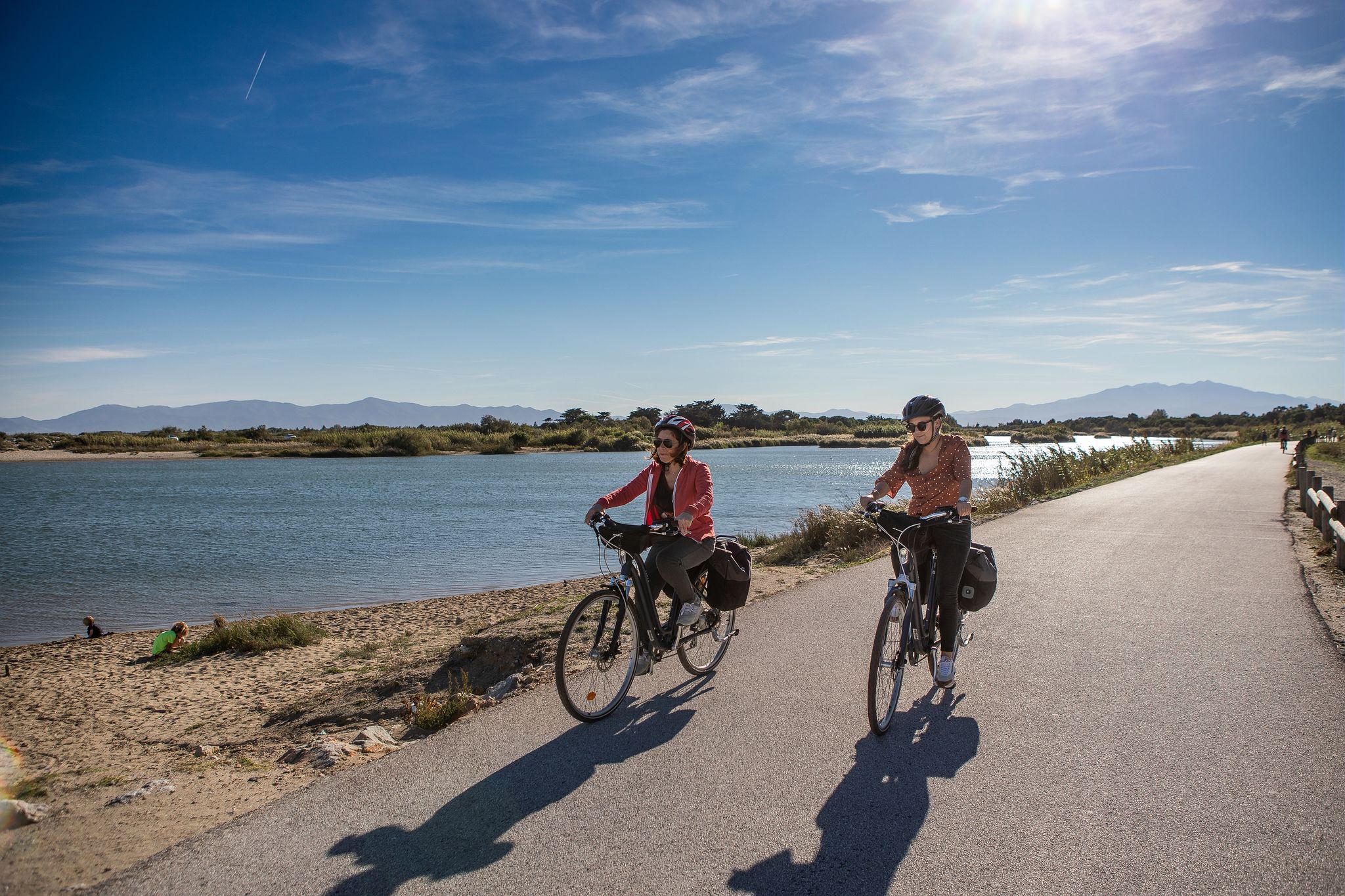
Méditerranée in Occitanie - Ten bike rides in the South of France
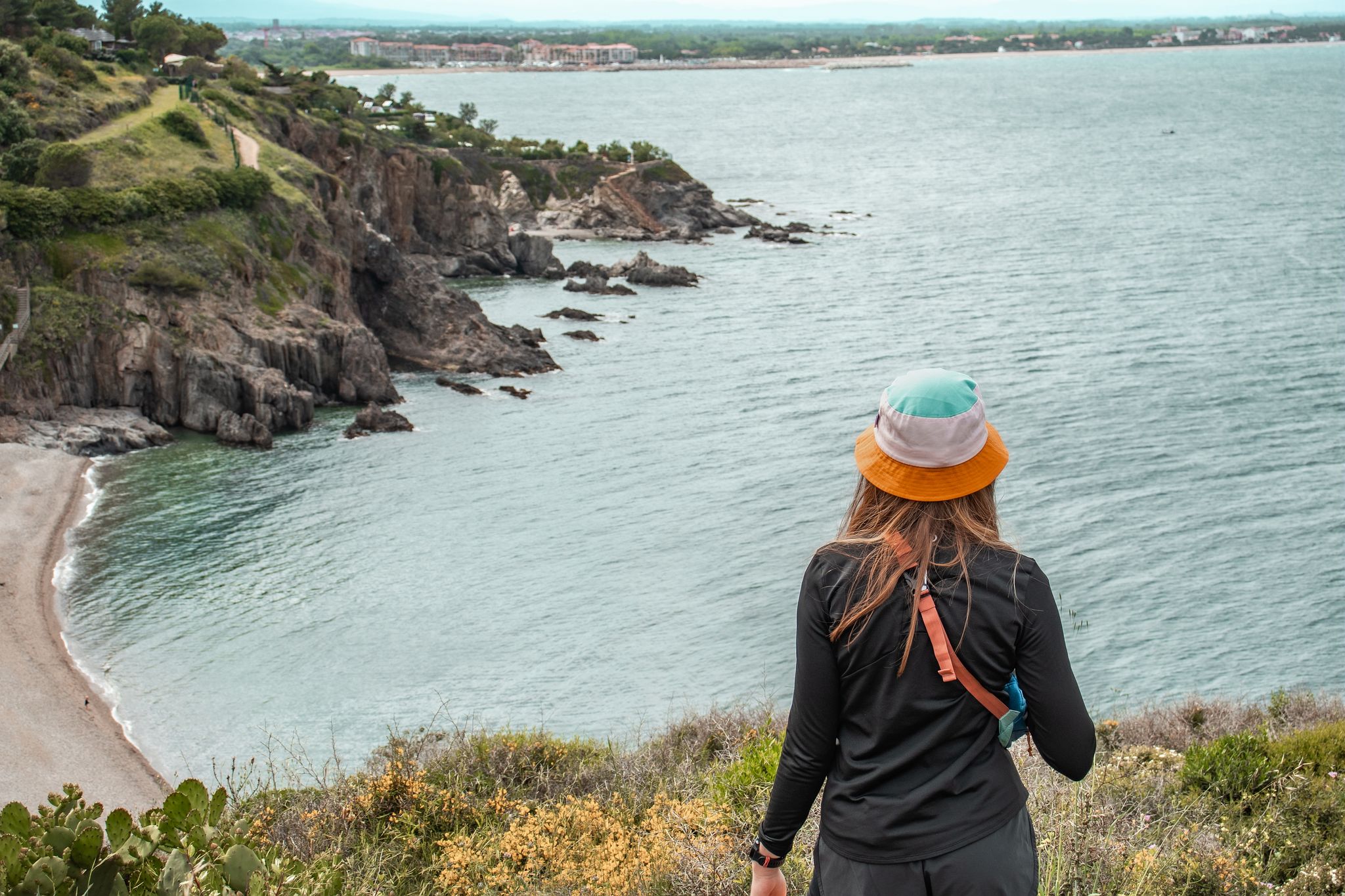
Côte Méditerranée – hiking in Occitania
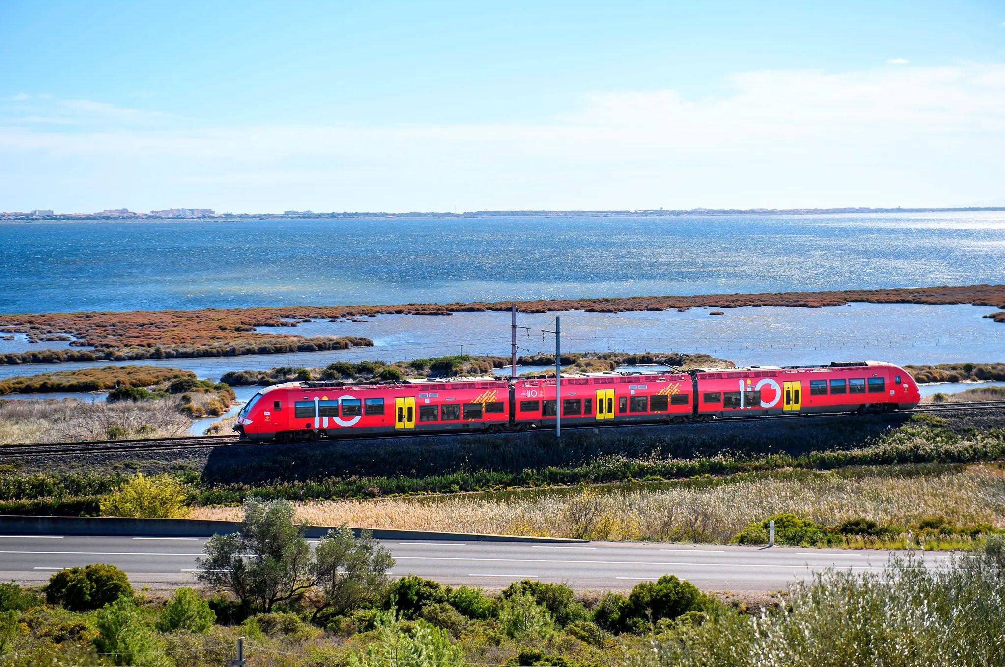
Occitanie Rail Tour – cycle and train along the Occitan Coast
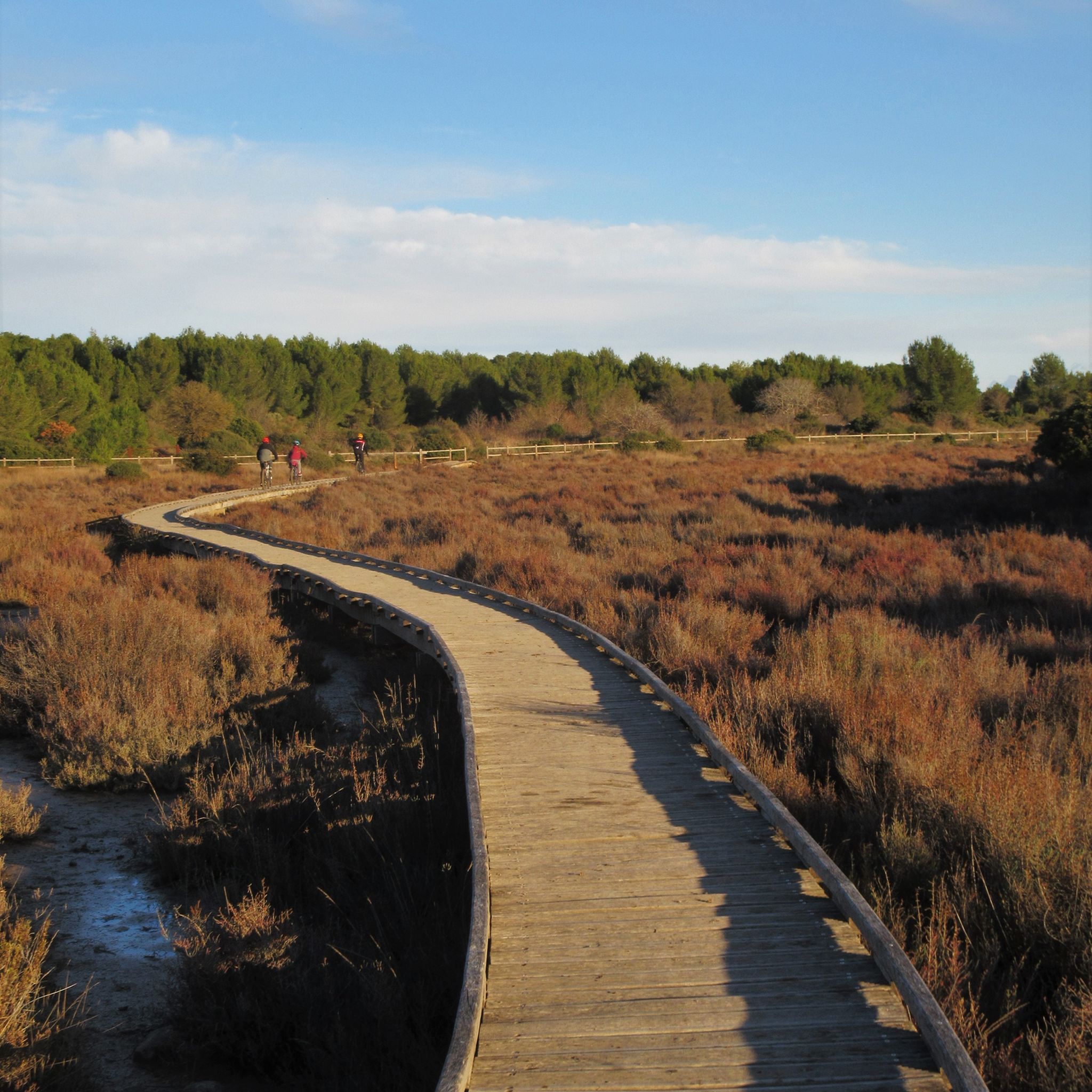
Cycling around Frontignan
Hiking around Frontignan
Road Cycling Routes around Frontignan
Running Trails around Frontignan
MTB Trails around Frontignan
Other adventures around Frontignan


Tips from the Community

The view plunges over the Thau lagoon and its immense checkerboard of shellfish farms. These regular alignments are the breeding facilities where the oysters and mussels of the lagoon are produced. Bouzigues holds a special place in this history: in 1925, Antoine Louis Tudesq and other Bouzigues oyster farmers developed the "Pyramid" technique, which contributed to the development of shellfish farming in the lagoon. Thus, the panorama allows us to read the landscape differently: behind this vast expanse of water lies a real production area, shaped for over a century by the work of the "sea farmers".
0
0
From La Catonnière, the view plunges over the étang de Thau and its immense checkerboard of shellfish tables. These regular alignments are the breeding facilities where the lagoon's oysters and mussels are produced. Bouzigues holds a special place in this history: in 1925, Antoine Louis Tudesq and other Bouzigues oyster farmers developed the "Pyramid" technique, which contributed to the development of shellfish farming in the étang. The panorama thus allows us to read the landscape differently: behind this vast expanse of water lies a true production space, shaped for over a century by the work of the "sea peasants".
0
0
From this path, the view descends towards Vic-la-Gardiole and its pond.
0
0
The greenway runs here on a narrow strip of land between the Étang de la Moulière and the Crique de l’Angle. To the south, the view opens up beyond the Crique de l’Angle over the Étang de Thau, then over Sète, dominated by the silhouette of Mont Saint-Clair (183 m).
0
0
This sector offers a climb on a limestone ground characteristic of the massif. The view opens up magnificently over the Thau lagoon and its shellfish farming tables. On a clear day, you can also enjoy a panorama of the Combe de Saint-Félix and the ruins of the ancient Benedictine abbey of Saint-Félix-de-Montceau.
0
0
From Frontignan to Palavas-les-Flots, the route follows the Canal du Rhône à Sète through one of the large lagoon complexes on the Languedoc coast. After the Étang d'Ingril and the Aresquiers, the canal successively crosses or runs alongside the Étangs de Vic and de Pierre-Blanche, then passes between those of l'Arnel and du Prévost before reaching Palavas. The canal itself is a major historical element of this landscape. Its construction began in 1701 under the name Canal des Étangs, in order to ensure continuity between the Royal Canal of Languedoc – today the Canal du Midi – and the Rhône. The route, completed in 1829, passes through Frontignan, Maguelone and Palavas before joining Aigues-Mortes and then Beaucaire. In Frontignan, its opening in the 18th century profoundly modified the landscape: the canal notably separated the former Étang de Frontignan into two complexes, giving rise to the Étang d'Ingril and that of La Peyrade.
2
0
This wooden footbridge or "Passerelle d'Ingril" allows you to cross part of the wetlands bordering the Étang d’Ingril. The trail rises slightly above the marshy ground, offering direct contact with the different coastal environments of Les Aresquiers: lagoon, marsh, sansouïre, and pine forest. This landscape is closely linked to the history of the old salt pans of Frontignan, exploited for three centuries until 1968.
2
0
This wooden footbridge or "Passerelle d'Ingril" allows you to cross a part of the wetlands bordering the Étang d'Ingril. The path rises slightly above the marshy ground, offering direct contact with the different coastal environments of Aresquiers: lagoon, marsh, sansouïre, and pine forest. This landscape is closely linked to the history of the old salt pans of Frontignan, exploited for three centuries until 1968.
2
0
Frequently Asked Questions
What types of terrain can I expect on gravel bike trails around Frontignan?
Gravel biking around Frontignan offers a diverse landscape. You'll find coastal paths along the Mediterranean, routes traversing the Étang de Thau lagoon, and trails through the low-lying hills of La Gardiole. This mix provides varied elevation profiles, from flat, scenic sections near the water to more challenging climbs through vineyards and scrubland.
Are there any easy or beginner-friendly gravel bike routes in Frontignan?
Yes, while many routes offer a challenge, there are options suitable for beginners. The region features numerous coastal paths and greenways that are generally flatter and less technical. For example, sections along the Étang de Thau provide a gentler introduction to gravel biking.
Where can I find challenging gravel bike routes in Frontignan?
For a more challenging experience, focus on routes that venture into the La Gardiole massif. These trails often feature significant elevation gains and more rugged terrain. An example of a demanding ride is the The Fairy Stretcher – La Font du Loup loop from Sète, which covers over 117 km with substantial climbing.
Are there any circular gravel bike routes available?
Many of the gravel bike routes around Frontignan are designed as loops, allowing you to start and finish at the same point. For instance, the View of Sète – The land of oyster beds loop from Sète is a long circular route offering extensive views.
What are some notable viewpoints or natural attractions along the gravel bike trails?
The region is rich in scenic spots. You can enjoy panoramic views of the Étang de Thau and the coastline from La Gardiole, such as the View of the Étangs and Coastline from La Gardiole. Other natural highlights include the Salines de Villeneuve Nature Reserve and the Salins de Frontignan, offering unique landscapes.
What is the best season for gravel biking in Frontignan?
The Mediterranean climate makes spring (April-May) and autumn (September-October) ideal for gravel biking in Frontignan. Temperatures are pleasant, and the landscapes are vibrant. Summer can be very hot, especially midday, so early morning or late afternoon rides are recommended if visiting then. Winters are generally mild but can be wet.
Are there family-friendly gravel bike routes in Frontignan?
Yes, several routes are suitable for families, particularly those along the coast or dedicated greenways. These paths are often flatter and provide a safer environment away from heavy traffic. Look for routes with minimal elevation gain and smooth surfaces for a more enjoyable family outing.
Can I access gravel bike trails in Frontignan using public transport?
Frontignan is well-connected by regional trains (TER) and buses, making it possible to reach starting points for many trails. The train station in Frontignan provides good access. It's advisable to check local public transport schedules and bike carriage policies before planning your trip.
What do other gravel bikers enjoy most about the trails in Frontignan?
The gravel biking routes in Frontignan are highly rated by the komoot community, with an average score of 4.27 stars. Reviewers often praise the stunning views of the Étang de Thau and the Mediterranean, the varied terrain that keeps rides interesting, and the combination of coastal paths with more challenging climbs into the hills of La Gardiole.
Are there any routes that pass by cafes or places to stop for refreshments?
Many routes pass through or near charming towns and villages along the coast or around the Étang de Thau, such as Sète or Mèze. These locations offer numerous opportunities to stop at cafes, bakeries, or restaurants. Planning your route to include these towns will ensure you have refreshment options.
Are dogs allowed on the gravel bike trails in Frontignan?
Generally, dogs are permitted on most public trails in the Frontignan area, especially if kept on a leash. However, specific nature reserves or protected areas might have restrictions. It's always best to check local signage or park regulations for the specific trail you plan to ride with your dog.
What should I pack for a gravel biking trip in Frontignan?
Given the varied terrain and potential for sun exposure, it's recommended to pack plenty of water, sun protection (sunscreen, hat), and appropriate layers of clothing. A repair kit, spare tube, and pump are essential. For longer rides, snacks and a first-aid kit are also advisable. Don't forget your camera for the scenic views!
Most popular routes around Frontignan
Most popular attractions around Frontignan

Get inspired with the komoot mobile app


Explore more
Browse the best Gravel rides in other regions.
