The best gravel rides around Montellà I Martinet
4.8
(6)
329
riders
21
rides
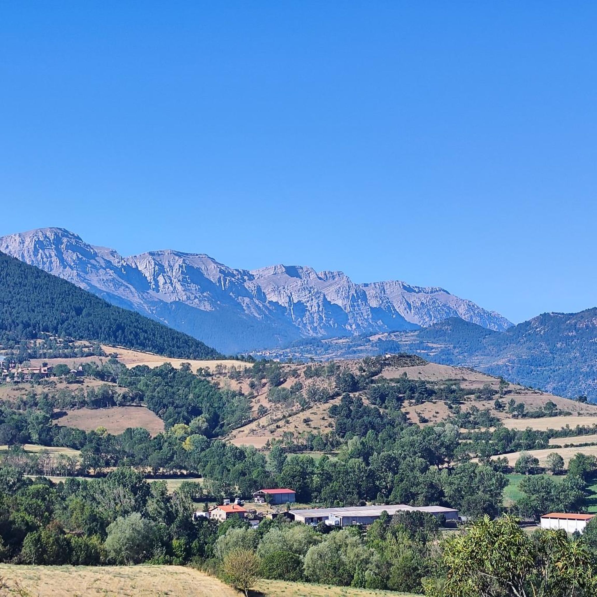
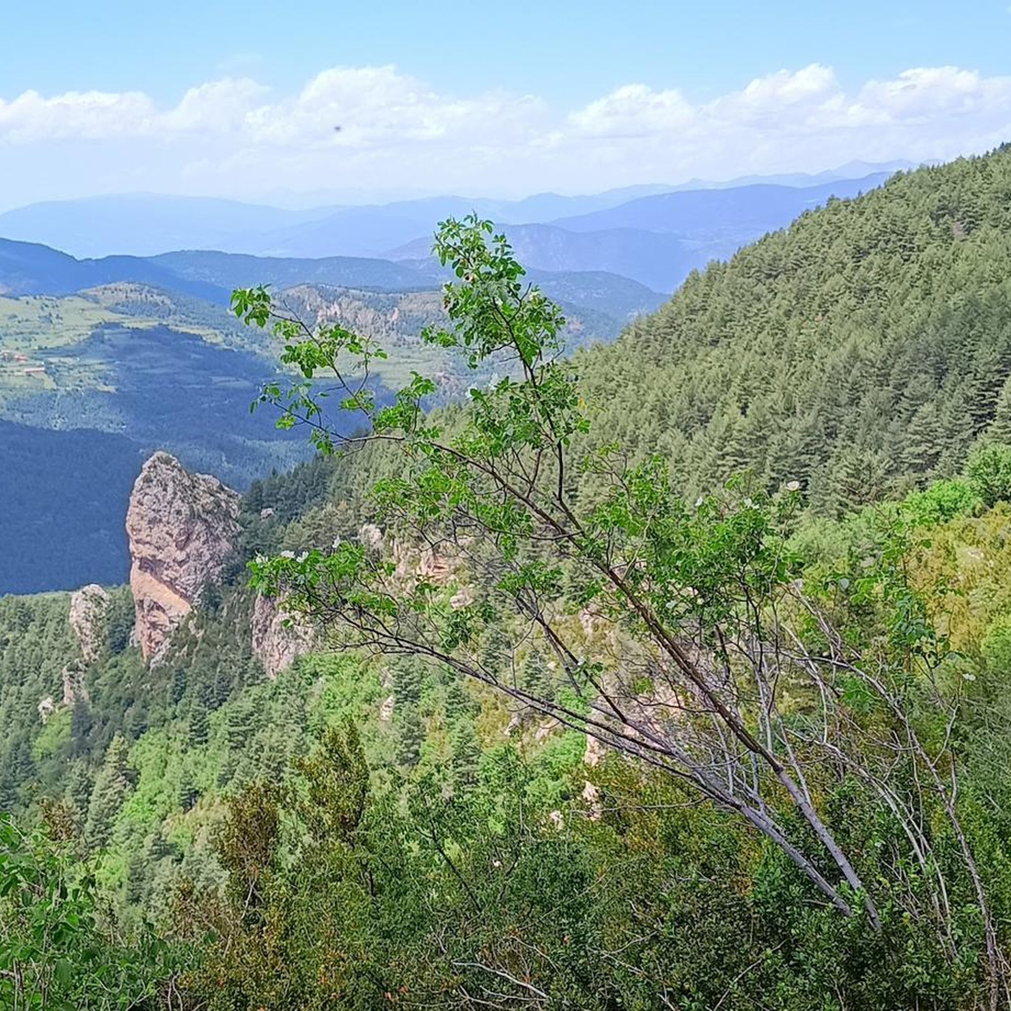
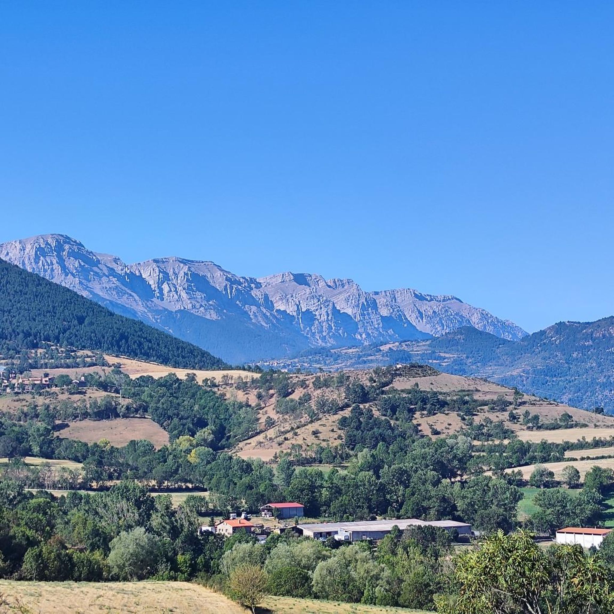
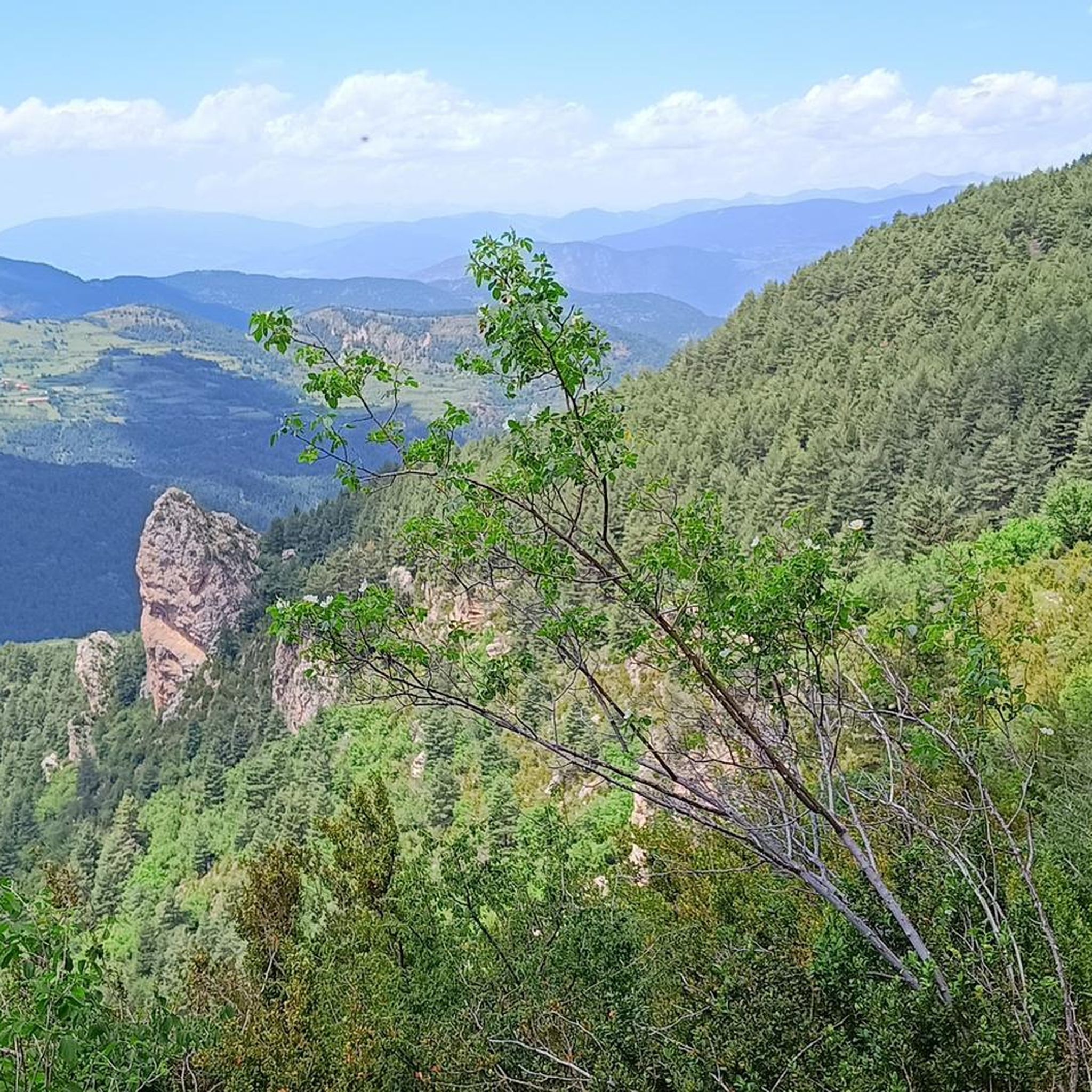
Gravel biking around Montellà I Martinet is characterized by its mountainous terrain, featuring high-altitude passes, forested sections, and expansive views. The region offers a network of gravel bike trails that traverse valleys and ascend towards elevated viewpoints. Riders can expect varied surfaces, including unpaved roads and forest tracks, typical of the Pyrenean foothills.
Best gravel bike trails around Montellà I Martinet
- The most popular gravel bike trail is Ski station viewpoint – Refugi de la Feixa (2,160 m) loop from…
Last updated: July 8, 2026
44
riders
65.9km
05:33
1,790m
1,790m
Hard gravel ride. Very good fitness required. You may need to push your bike for some segments of this route.
5.0
(2)
84
riders
58.6km
04:28
1,350m
1,350m
Hard gravel ride. Very good fitness required. Mostly paved surfaces. Suitable for all skill levels.

Sign up for free
5.0
(2)
34
riders
50.6km
04:23
1,400m
1,400m
Hard gravel ride. Very good fitness required. Mostly paved surfaces. Suitable for all skill levels.
5.0
(1)
29
riders
Hard gravel ride. Very good fitness required. Mostly paved surfaces. Suitable for all skill levels.
13
riders
38.7km
04:13
1,290m
1,290m
Hard gravel ride. Very good fitness required. Mostly paved surfaces. Suitable for all skill levels.
Get access to more routes and recommendations from other explorers.
Sign up for free
Already have an account?
Our route recommendations are based on thousands of hikes, rides, and runs completed by other people on komoot.
Start today with a free account
Your next adventure awaits.
Login or Signup
Popular around Montellà I Martinet

Other adventures around Montellà I Martinet

Tips from the Community

The ascent from Martinet to Cap del Rec is a real challenge: a route of only 16.5 km that accumulates almost 1,000 meters of positive elevation gain!
0
0

High mountain crossing point with spectacular views over the Cadí and the Pedraforca massif. The pass marks the boundary between black pine forests and alpine meadows, and is an ideal place to catch your breath before tackling the final climb to the summit. On a mountain bike, the climb is tough and with rocky sections that may require pushing the bike at some points. Tip: slow down and save your energy for the last section; the reward is a panoramic view that will make you forget your tiredness.
0
0
Small Romanesque church located on a plateau with open views of the Cadí and the Segre valley. It retains its original structure and exudes a beautiful simplicity, surrounded by meadows and silence. It is a perfect place to take a break and feel the calm of the mountain. By mountain bike, access is by track with some rocky sections but without excessive difficulty. Tip: take the opportunity to have a drink or take a photo before facing the next climb; the morning light here is especially beautiful.
0
0
A magnificent example of rural Romanesque architecture from the Cerdà region, surrounded by fields and with the Cadí River as a backdrop. The building retains the original apse and a sober charm that conveys calm and authenticity. It is an ideal place to stop for a few minutes and breathe in the silence. By mountain bike, you can reach it by a smooth, well-marked track from Bellver; the final stretch may have some loose gravel, but it is easily cycled. Tip: if you go there in the afternoon, the golden light illuminates the stone and turns the visit into a small Pyrenean postcard.
0
0
Aransa Station Parking (Lles de Cerdanya). The perfect starting point for mountain biking and hiking routes through the Cadí-Moixeró Natural Park. Located at approximately 1,550 meters, the parking area offers ample space, nearby water fountains, and open views of the valley. In summer, it's quiet and ideal for starting climbs towards the Pradell Refuge or the Estanys de la Pera lakes. For mountain biking, the start is direct and somewhat demanding: a wide track with a continuous incline. Tip: warm up well before leaving the pavement, pace yourself, and conserve energy, as the initial climbs can be punishing if you start too fast.
0
0
Located at an altitude of 1,960 meters, this refuge is a key point for cyclists and hikers heading towards the Tossa Plana de Lles or the Nordic ski slopes. The refuge combines a mountain atmosphere with comfortable amenities: a bar, a dining room, and a terrace with open views of the Cadí mountain range. It's a good place to stop, have a hot meal, or adjust your bike before continuing the climb. For mountain biking, the track from Lles has an uneven surface and rocky sections; tires with good grip are recommended, as is maintaining a constant cadence, especially on the final bends where the gradient is noticeable.
0
0
Font de Viliella (Lles de Cerdanya). A small hidden gem in the heart of the village, under a stone porch with a tiled roof, so typical of the Cerdanya region. Fresh water flows between ancient walls, with a half-erased inscription that hints at its history. Ideal for filling your water bottle and taking a breath of fresh air before continuing your ride up the slopes of the Pyrenees. If you're on a mountain bike, be careful on the uphill section from Prullans: it's short but steep and has loose stones; it's best to take it easy and at a leisurely pace, as the spring deserves to be enjoyed when you arrive with plenty of breath.
0
0
From this pass, a rather technical trail leads to the village of Gósol. Getting here is quite difficult; it's a very long and arduous climb.
1
0
Frequently Asked Questions
How many gravel bike trails are available in Montellà I Martinet?
There are over 25 gravel bike trails around Montellà I Martinet listed on komoot, offering a variety of experiences for different skill levels.
What is the general difficulty level of gravel bike trails in Montellà I Martinet?
The gravel bike trails in Montellà I Martinet are predominantly challenging. You'll find 8 moderate routes and 19 difficult routes, characterized by significant elevation changes and varied terrain typical of the Pyrenean foothills.
Are there any beginner-friendly gravel bike routes in Montellà I Martinet?
While the region is known for its more challenging terrain, with most routes rated moderate to difficult, there are no specifically designated easy gravel bike trails. Riders new to gravel biking should be prepared for ascents and varied surfaces.
Where can I find challenging gravel bike routes in Montellà I Martinet?
For experienced riders seeking a challenge, routes like the Les Bassotes Pass – Coll de Josa (1620 m) loop from Gósol offer significant climbs and technical sections. Another demanding option is the Aransa – Mountain Road to Prullans loop from Bellver de Cerdanya, which features substantial elevation gain.
What kind of views can I expect on the gravel bike trails around Montellà I Martinet?
The trails offer expansive views of the Pyrenean landscape, including high-altitude passes and forested sections. Many routes ascend to elevated viewpoints, providing panoramic vistas. For example, the Trail 816 – View from Corriol del Gonec loop from Isòvol provides stunning outlooks.
Are there any interesting landmarks or points of interest along the gravel bike routes?
Yes, many routes traverse areas with notable landmarks. You might encounter mountain passes like Gosolans Pass or Coll de Josa (1620 m). Some trails also pass by mountain huts such as Prat d'Aguiló Refuge, offering a glimpse into the region's alpine culture.
Are there circular gravel bike routes available in Montellà I Martinet?
Yes, many of the gravel bike routes in the area are designed as loops, allowing you to start and finish in the same location. Examples include the Path from Llívia to Ur – Path from Llivia to Ur loop from Bellver de Cerdanya and the Ski station viewpoint – Refugi de la Feixa (2,160 m) loop from Isòvol.
What is the best time of year for gravel biking in Montellà I Martinet?
Given the mountainous terrain and high-altitude passes, late spring through early autumn (May to October) generally offers the most favorable conditions. During these months, you can expect milder temperatures and less chance of snow at higher elevations.
What are the conditions like for gravel biking in Montellà I Martinet during winter?
Winter conditions (November to April) can be challenging due to snow and ice, especially on higher passes and shaded forest tracks. Some routes may become impassable or require specialized equipment. It's advisable to check local weather and trail conditions before planning a winter ride.
Is parking available near the gravel bike trailheads in Montellà I Martinet?
Yes, parking is generally available in the towns and villages that serve as starting points for these routes, such as Isòvol, Gósol, and Bellver de Cerdanya. Specific parking information can often be found on individual route pages on komoot.
Are there places to stop for refreshments or food along the gravel bike trails?
While many routes venture into remote mountain areas, you'll find opportunities for refreshments in the larger towns and villages at the start or end of routes. Some mountain huts, like Prat d'Aguiló Refuge, may also offer services, but it's always wise to carry sufficient water and snacks, especially on longer rides.
What do other gravel bikers enjoy most about the trails in Montellà I Martinet?
The area is highly rated by the komoot community, with an average score of 5.0 stars. Reviewers often praise the challenging ascents, the rewarding high-altitude views, and the diverse unpaved roads and forest tracks that characterize the Pyrenean foothills.
Most popular routes around Montellà I Martinet
Most popular attractions around Montellà I Martinet

Get inspired with the komoot mobile app


Explore more
Browse the best Gravel rides in other regions.
