The best road cycling routes around Montellà I Martinet
4.4
(34)
2,122
riders
36
rides
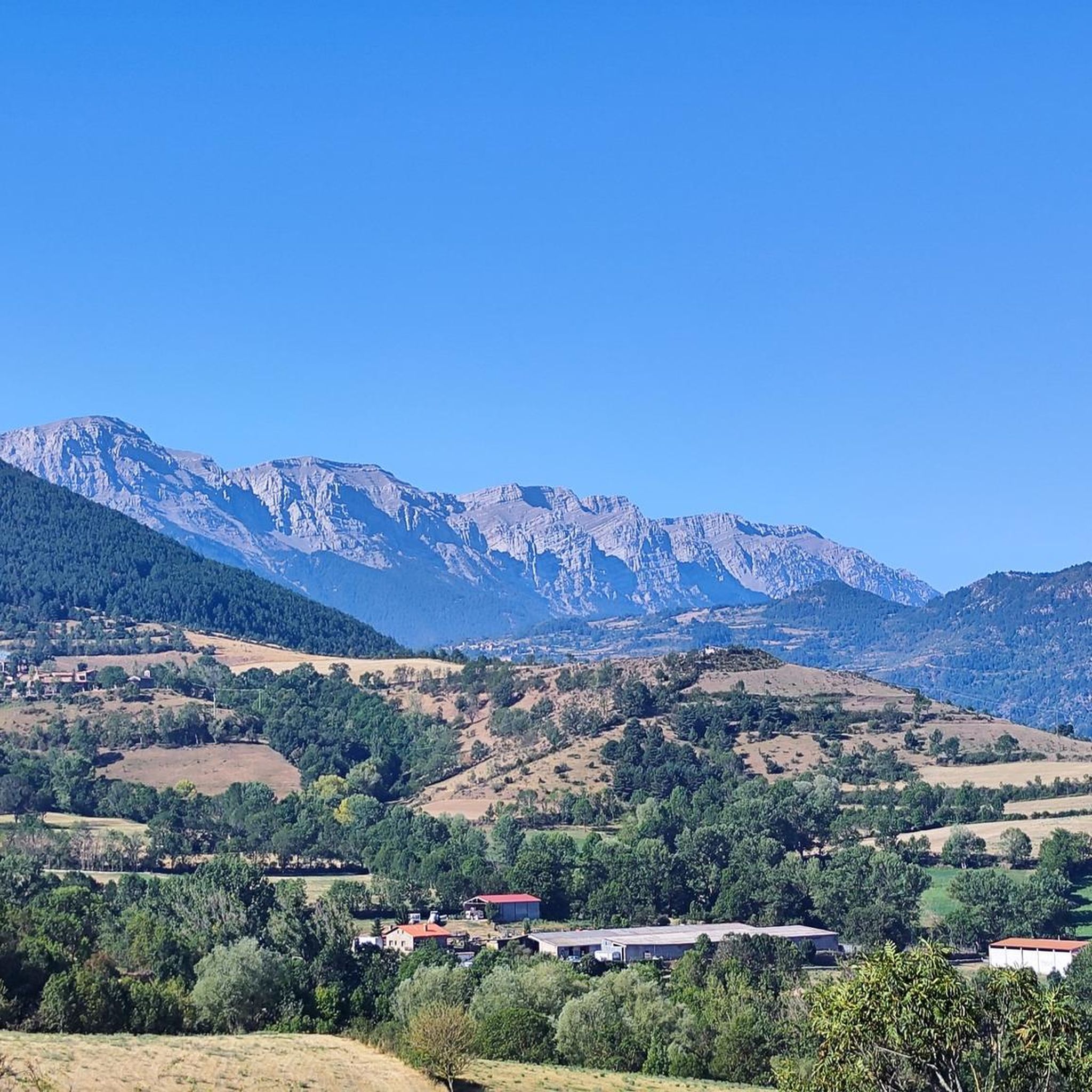
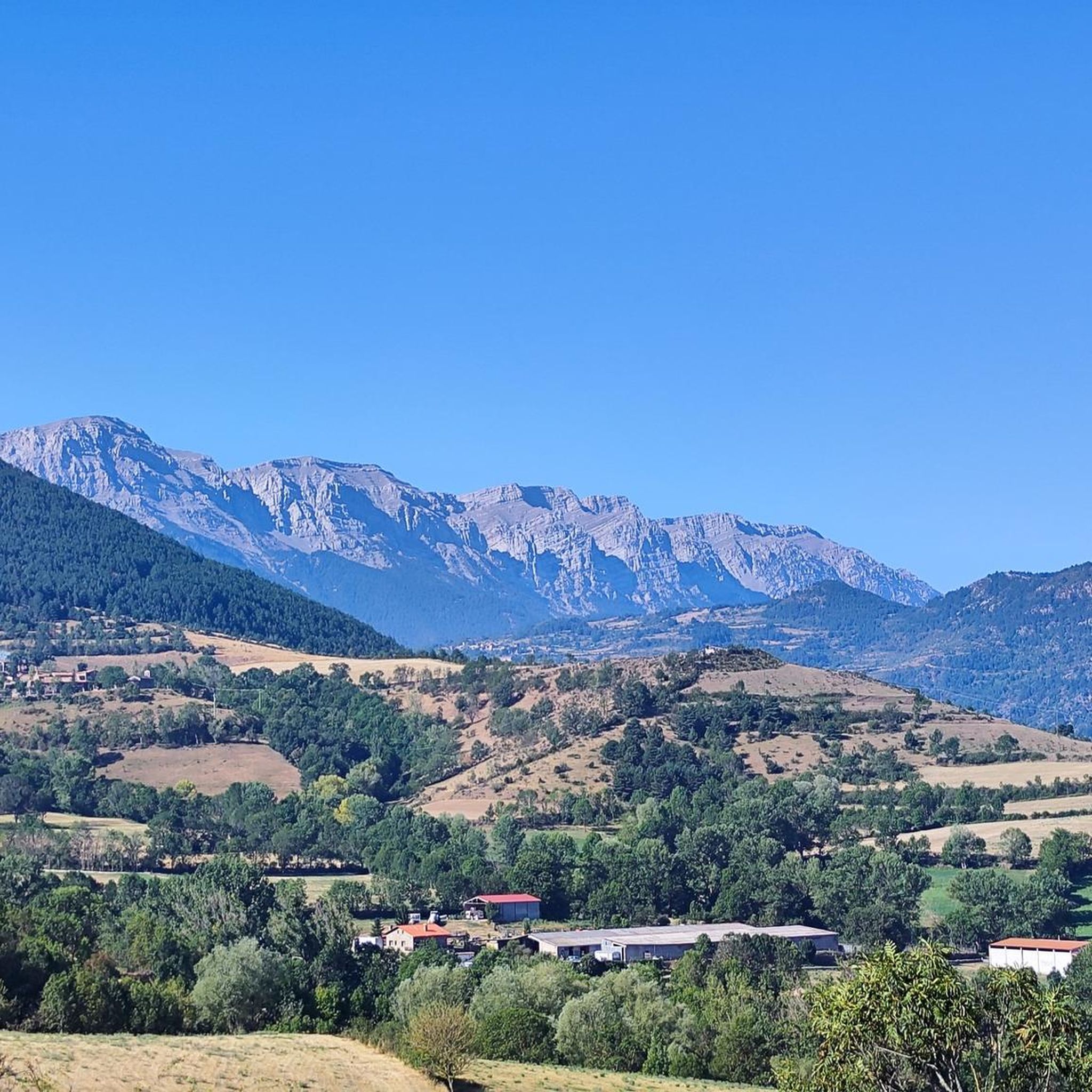
Road cycling around Montellà I Martinet is characterized by its location within the Cadí-Moixeró Natural Park, offering a mountainous backdrop. The region features rugged orography, lush paths, and verdant valleys, with the Segre River flowing through. Significant elevation changes are common, providing opportunities for challenging climbs and descents across its diverse terrain.
Best road cycling routes around Montellà I Martinet
- The most popular road cycling route is Bellver de Cerdanya – Collada de Toses Pass loop from Prullans, a…
Last updated: July 10, 2026
127
riders
96.5km
05:02
1,560m
1,550m
Hard road ride. Very good fitness required. Mostly well-paved surfaces and easy to ride.
51
riders
98.7km
05:05
1,660m
1,660m
Hard road ride. Very good fitness required. Mostly well-paved surfaces and easy to ride.

Sign up for free
4.5
(2)
23
riders
40.1km
02:07
670m
670m
Moderate road ride. Good fitness required. Mostly well-paved surfaces and easy to ride.
23
riders
46.3km
02:48
1,050m
1,050m
Hard road ride. Very good fitness required. Mostly well-paved surfaces and easy to ride.
5.0
(1)
22
riders
41.5km
01:54
440m
440m
Moderate road ride. Good fitness required. Mostly well-paved surfaces and easy to ride.
Get access to more routes and recommendations from other explorers.
Sign up for free
Already have an account?
Our route recommendations are based on thousands of hikes, rides, and runs completed by other people on komoot.
Start today with a free account
Your next adventure awaits.
Login or Signup
Popular around Montellà I Martinet

Other adventures around Montellà I Martinet

Tips from the Community

Bugaedria d'autoservei, molt pràctica i bon preus. Bona ubicació per travesses al llarg del Pirineu
0
0


Regular asphalt if it's downhill Bones vistas
0
0

This is an old road leading up to the Puigmal ski resort from the village of Err. For many years, this road was abandoned until it was resurfaced in 2023. The result is a narrow, perfectly maintained road that takes us from Err to the Cotzé area, where the first remotes of the old ski resort are located, and where it connects with the main climb from St. Leocadie. This section is approximately 5 km at 8.5% uneven terrain, combining steep slopes with rest areas. It traces three beautiful hairpin bends, one of which offers wonderful panoramic views of the French Cerdanya.
0
0

Second port of the 4cims. Long but very laid out. It is worth enjoying its views without putting down the big plate at many times. :)
0
0
It is a beautiful chapel next to the town of Bolvir, which in turn is next to one of the best hotels in Spanish Cerdanya. This chapel marks the beginning of one of the 2 variants (the hardest, along a narrow but in perfect condition road) to reach Guils, and later to the Guils - Fontanera cross-country ski resort.
1
0

Mountain pass where the last 7km are closed to traffic, the feeling of pedaling through there with such silence and calm is that of almost hiking at high altitudes. The paved summit is 2204m.
0
0
Together with Puigcerdà (capital of the Cerdanya region), Alp and Martinet de Cerdaña, it is one of the 4 large towns in the Cerdaña region. It is an urban center with all kinds of services and shops and very pleasant to walk quietly (although steep in its historic center). In my opinion, it is a good place to set up a base camp for routes through Cerdanya and the Catalan Pre-Pyrenees; I do not recommend it as a base camp if you want to go to France or even Andorra since there would be better alternatives for it.
2
0
Frequently Asked Questions
What is the overall terrain like for road cycling around Montellà i Martinet?
The region is characterized by its mountainous backdrop within the Cadí-Moixeró Natural Park, featuring rugged orography, lush paths, and verdant valleys. You'll encounter significant elevation changes, providing opportunities for both challenging climbs and exhilarating descents. The Segre River also flows through the area, adding to the picturesque scenery.
How many road cycling routes are available around Montellà i Martinet, and what are their difficulty levels?
There are 43 road cycling routes available around Montellà i Martinet. These routes cater to various fitness levels, with 2 easy, 21 moderate, and 20 difficult options, ensuring there's a suitable ride for almost every cyclist.
Are there any easy or beginner-friendly road cycling routes in the area?
Yes, there are 2 easy road cycling routes available. While specific names aren't highlighted as beginner-specific, these routes offer a gentler introduction to the region's cycling opportunities compared to the more challenging mountainous terrain.
What kind of challenging road cycling routes can I expect around Montellà i Martinet?
The area offers 20 difficult road cycling routes, featuring substantial elevation gains and demanding climbs. For example, the Prullans loop from Prullans covers 48.3 km with over 1,100 meters of elevation gain, providing a significant challenge for experienced cyclists.
What do other road cyclists say about their experiences in Montellà i Martinet?
The road cycling routes in Montellà i Martinet are highly rated by the komoot community, with an average score of 4.5 stars from over 35 reviews. More than 2,000 road cyclists have used komoot to explore the varied terrain, often praising the stunning natural landscapes and the opportunities for challenging rides.
Are there any circular road cycling routes in Montellà i Martinet?
Yes, many of the routes are designed as loops, allowing you to start and finish in the same location. An example of a moderate circular route is the Bellver de Cerdanya Old Town – Bellver de Cerdanya loop from Martinet, which is 40 km long and takes you through historic areas.
What are some scenic viewpoints or landmarks I can see while road cycling in the region?
The region offers numerous scenic vistas, particularly of the Cadí, Moixeró, and Puigmal mountain ranges. You might pass by historical sites like the churches of Sant Martí de Víllec and Sant Genís de Montellà. For panoramic views, consider routes that offer glimpses of the Penyes Altes del Moixeró or the dramatic Sierra del Cadí.
Are there any mountain passes accessible by road bike in Montellà i Martinet?
Absolutely. The mountainous terrain means you'll find several passes. Notable ones include Gosolans Pass and Coll de Josa (1620 m), which are popular destinations for cyclists seeking challenging climbs and rewarding views.
What is the best time of year for road cycling in Montellà i Martinet?
Given its location in the Catalan Pyrenees, the best time for road cycling is typically from late spring through early autumn (May to October). During these months, the weather is generally more stable, and mountain passes are clear of snow, offering optimal conditions for exploring the diverse terrain.
Are there any family-friendly road cycling options in Montellà i Martinet?
While the region is known for its challenging mountainous terrain, the presence of 2 easy routes suggests there are options suitable for families or those looking for a less strenuous ride. These routes would likely stick to flatter valley sections or well-maintained, less-trafficked roads.
Can I find places to stop for refreshments or food along the road cycling routes?
Montellà i Martinet and surrounding traditional mountain villages offer opportunities for cafe stops. The region's focus on tourism, including mountain sports, means you can often find local establishments to refuel and experience local products, especially in commercial hubs like Baridà Cerdà.
What cultural or historical sites can I explore near the road cycling routes?
Beyond the natural beauty, you can explore traditional mountain villages with their distinctive stone architecture. Historical sites include the churches of Sant Martí de Víllec and Sant Genís de Montellà. The Martinet i Montellà Bunker Park also provides a historical perspective on strategic constructions from the Second World War.
Most popular routes around Montellà I Martinet
Most popular attractions around Montellà I Martinet

Get inspired with the komoot mobile app


Explore more
Browse the best Road cycling routes in other regions.
