The best mountain hikes around Montellà I Martinet
5.0
(5)
133
hikers
9
hikes
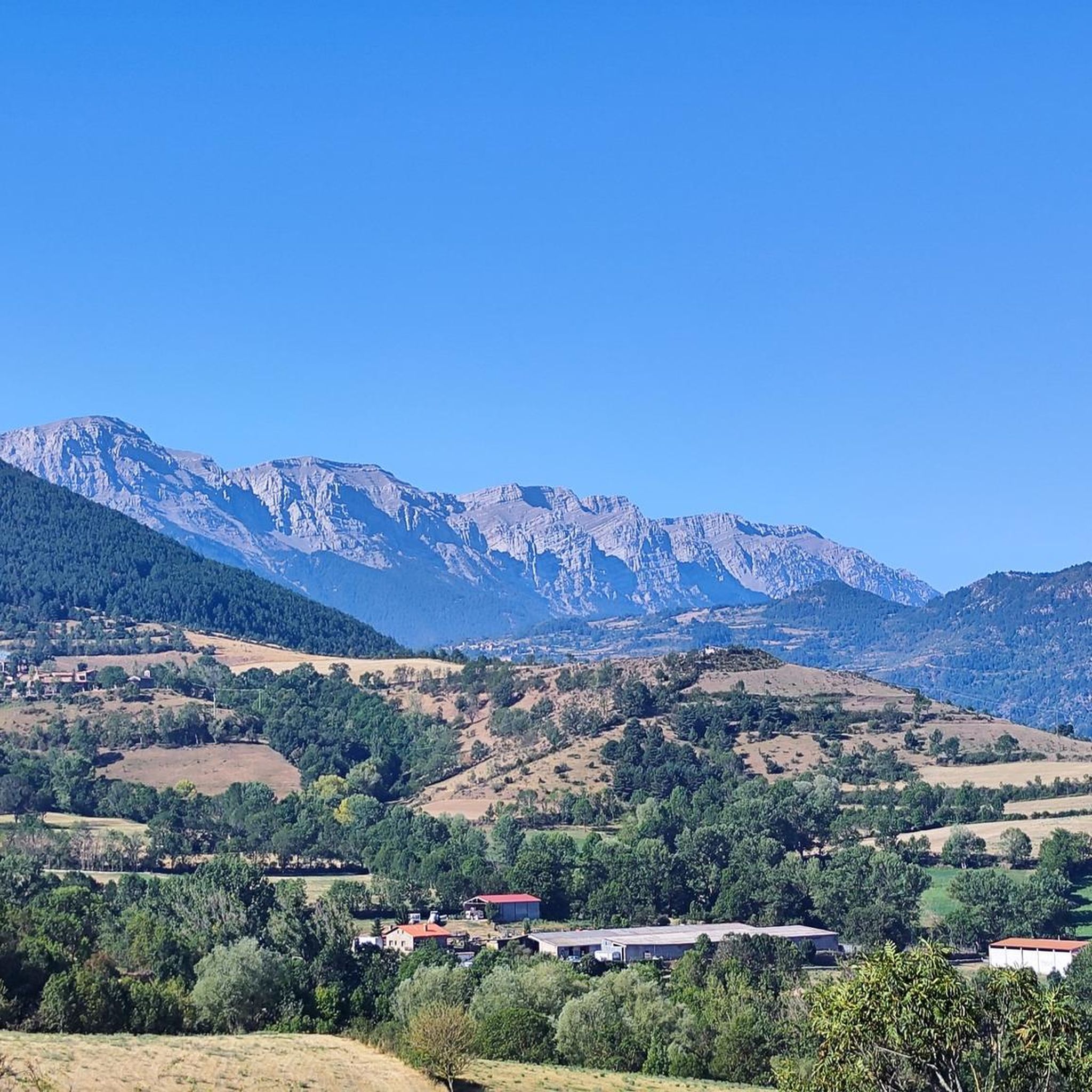
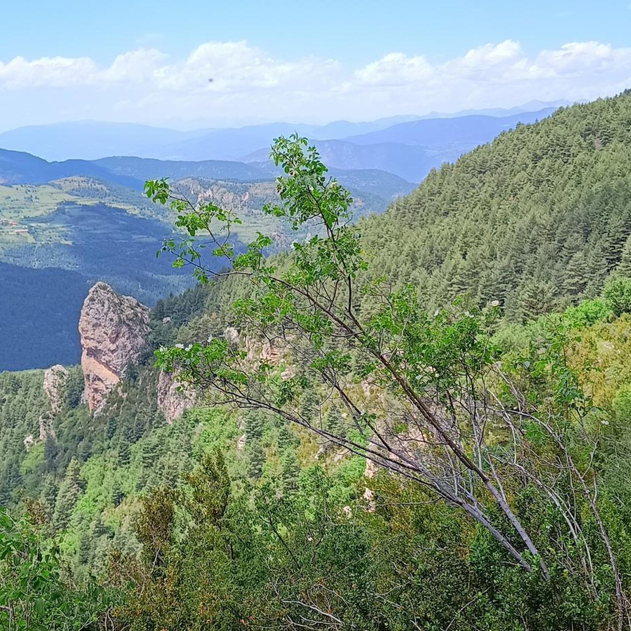
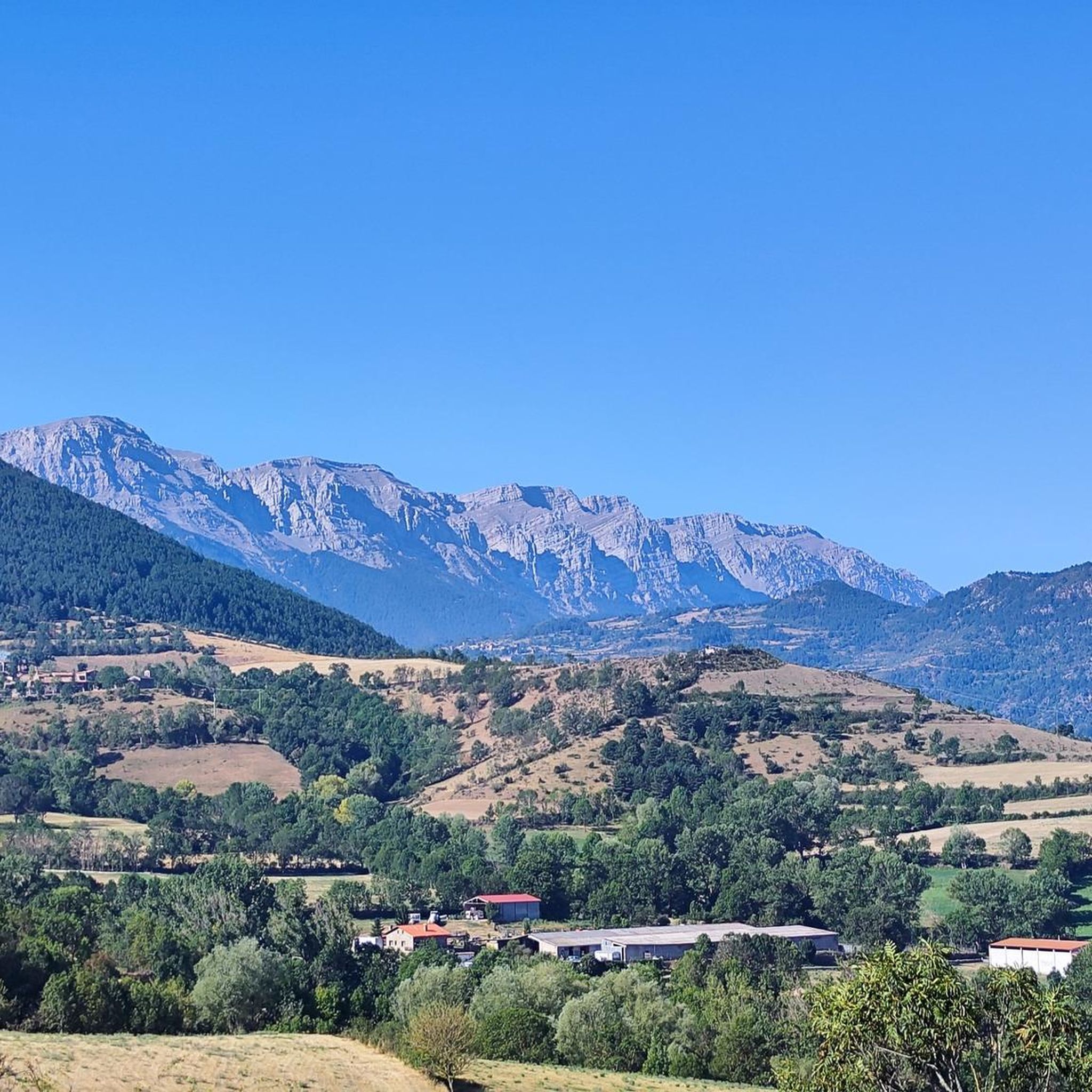
Mountaineering routes Montellà I Martinet are situated in the heart of the Catalan Pyrenees, offering a diverse and rugged landscape within the Cadí-Moixeró Natural Park. The region is characterized by dramatic rock formations, majestic peaks such as Penyes Altes del Moixeró (2,276 meters) and Comabona (2,547 meters), and significant mountain passes. High valleys and picturesque meadows like Prat de Cadí (1,880 meters) further define the challenging terrain for mountaineers.
Best mountaineering routes around Montellà I Martinet
- The most popular mountaineering…
Last updated: July 1, 2026
66
hikers
Hard mountaineering route. Very good fitness required. Sure-footedness, sturdy shoes and alpine experience required.
5.0
(2)
13
hikers
16.9km
05:35
560m
560m
Hard mountaineering route. Very good fitness required. Mostly accessible paths. Sure-footedness required.

Sign up for free
7
hikers
17.4km
07:10
1,130m
1,130m
Hard mountaineering route. Very good fitness required. Mostly accessible paths. Sure-footedness required.
7
hikers
9.15km
05:58
950m
950m
Hard mountaineering route. Very good fitness required. Sure-footedness, sturdy shoes and alpine experience required.
4
hikers
10.6km
04:48
710m
710m
Moderate mountaineering route. Good fitness required. Mostly accessible paths. Sure-footedness required.
Get access to more routes and recommendations from other explorers.
Sign up for free
Already have an account?
Our route recommendations are based on thousands of hikes, rides, and runs completed by other people on komoot.
Start today with a free account
Your next adventure awaits.
Login or Signup
Popular around Montellà I Martinet
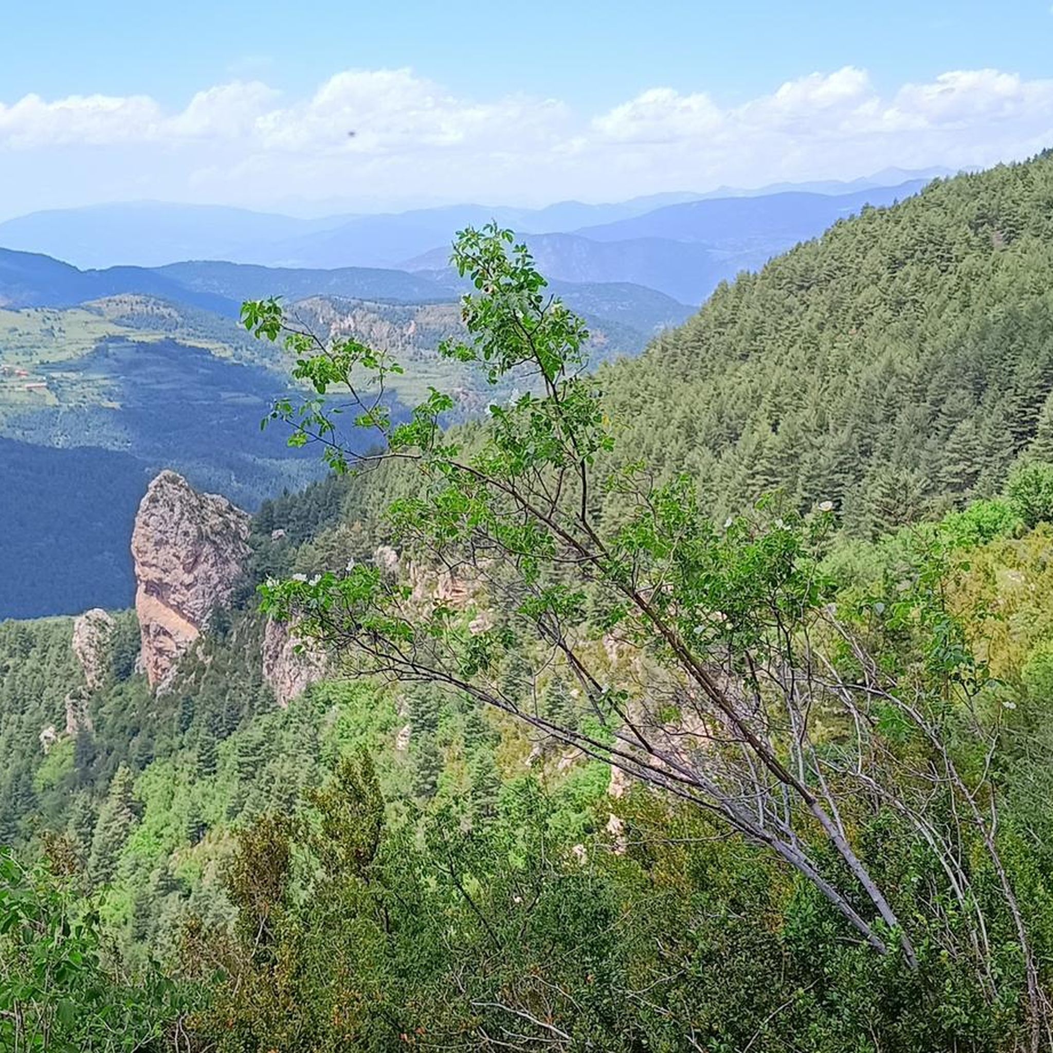
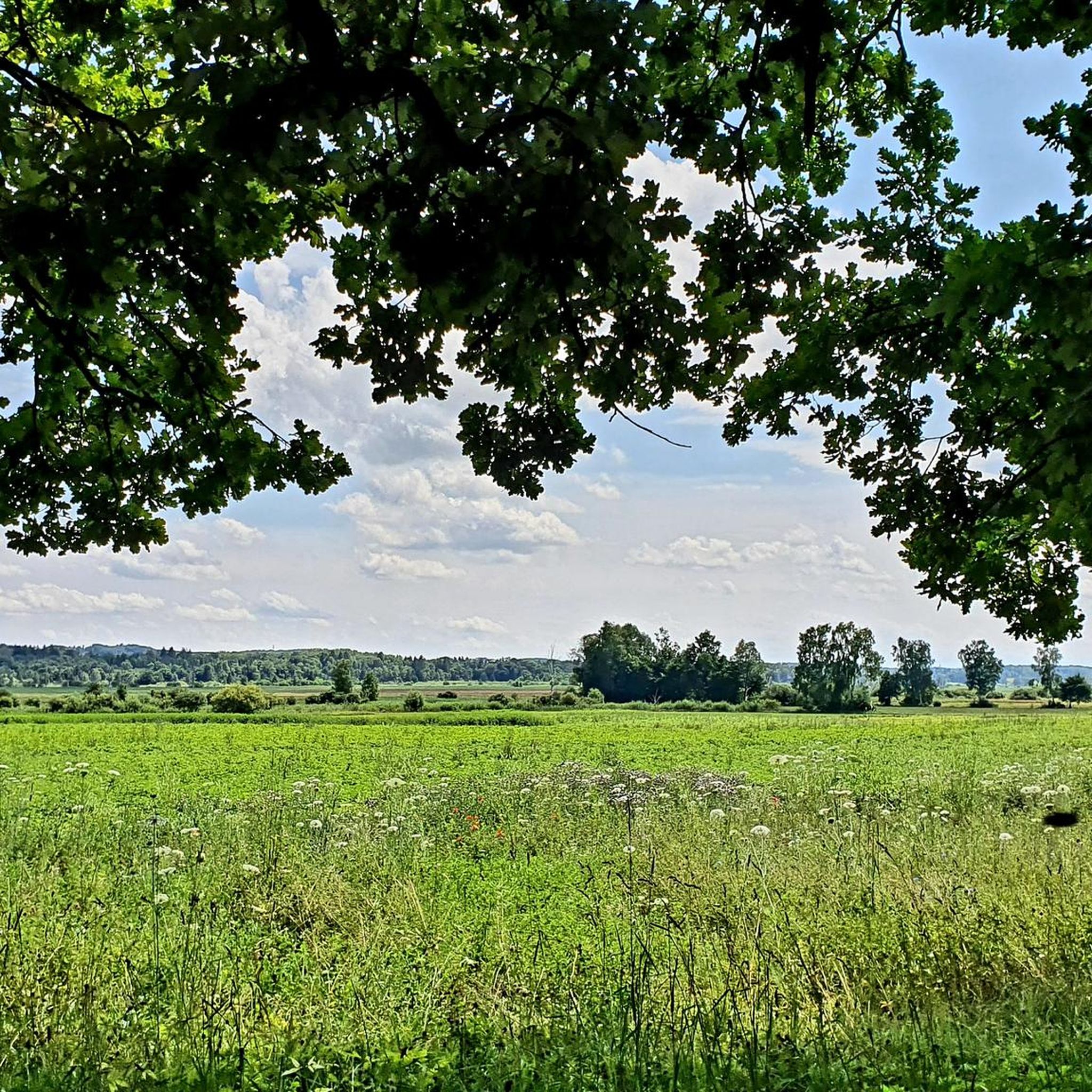
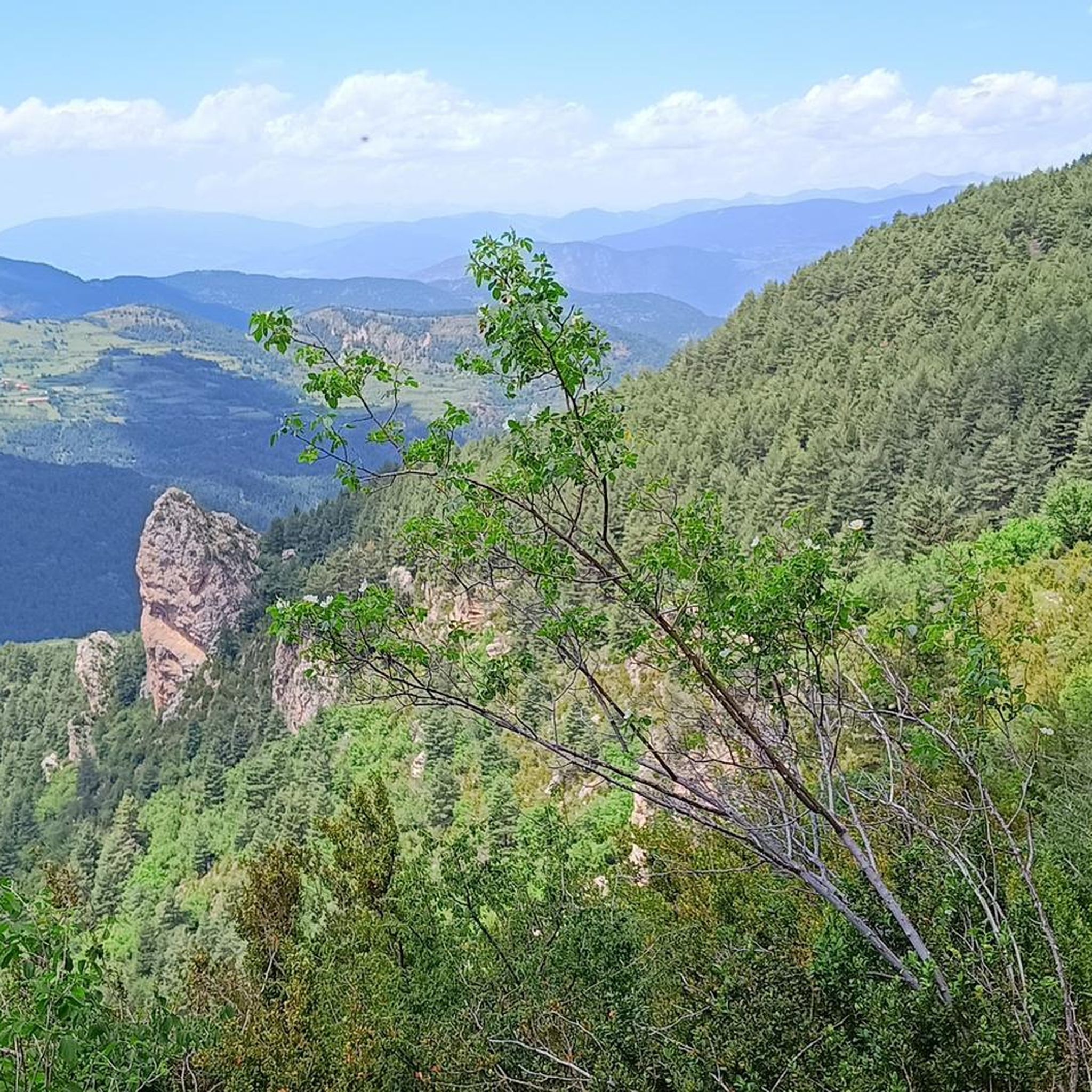
Other adventures around Montellà I Martinet

Tips from the Community

Located at the foot of the majestic Pedraforca, it is one of the most emblematic refuges in the Pyrenees. Starting point for classic ascents to the summit and ideal place to enjoy the high mountain atmosphere. The building, surrounded by meadows and forests, offers imposing views and an impressive calm. By mountain bike, the final access from Saldes is demanding, with a steep slope and loose stone; it is best to tackle it with patience and good traction. Tip: if you get there in the afternoon, stay for a few minutes — the light over Pedraforca is pure magic.
0
0
A free mountain refuge nestled among black pine forests and high meadows, with sweeping views of the Segre Valley. It's a peaceful spot, ideal for sheltering from the wind or taking a break on routes that connect to Cap del Rec or Tossa Plana. The surroundings retain the pure silence of the upper Cerdanya region. By mountain bike, the final approach is via a stony track with a slight incline; it's advisable to lower the saddle and maintain control on the subsequent descent, as ruts and loose stones can be treacherous if you're riding too fast.
0
0
Located at an altitude of 1,960 meters, this refuge is a key point for cyclists and hikers heading towards the Tossa Plana de Lles or the Nordic ski slopes. The refuge combines a mountain atmosphere with comfortable amenities: a bar, a dining room, and a terrace with open views of the Cadí mountain range. It's a good place to stop, have a hot meal, or adjust your bike before continuing the climb. For mountain biking, the track from Lles has an uneven surface and rocky sections; tires with good grip are recommended, as is maintaining a constant cadence, especially on the final bends where the gradient is noticeable.
0
0

A beautiful refuge at the foot of the north face of Pedradorca, it's worth the climb to discover it.
1
0

One of the essential climbs in Cerdaña. It is hard, long and beautiful. The views of Cadí, the valley and the mountains are spectacular from Travesseres. It is a MUST without a doubt!! There are 2 alternatives to get there, mainly 2: from Martinet, it is the most direct climb; from Prullans, along a quieter road with some rest sections
0
0

If you are passing through, do not hesitate to visit the 11th century castle and its famous Picasso Center, where you can see some of the works he created during the time he lived in this town.
0
0

Pas dels Gosolans, where the people of Cerdanya used to pass with their flocks to reach Ripollès
0
0

After about an hour's climb from Prat d'Aguilo you reach this pass with its incredibly beautiful, barren landscape.
0
0
Frequently Asked Questions
What kind of terrain can I expect on mountaineering routes around Montellà I Martinet?
The terrain in Montellà I Martinet, situated within the Cadí-Moixeró Natural Park, is rugged and diverse. You'll encounter dramatic rock formations, significant elevation changes, and majestic peaks like Penyes Altes del Moixeró (2,276 meters) and Comabona (2,547 meters). Many routes traverse challenging mountain passes and high valleys, offering a true mountaineering experience.
Are there any easier mountaineering routes available in the Montellà I Martinet area?
While many routes in Montellà I Martinet are classified as difficult, there are some moderate options for those looking for a less strenuous challenge. For example, the guide features 3 moderate routes out of a total of 11. These routes still offer significant elevation and beautiful scenery but are designed to be more accessible.
What are some notable landmarks or natural features I might encounter on these routes?
The region is rich in natural beauty. You can expect to see impressive peaks such as Penyes Altes del Moixeró and Comabona. The picturesque Prat de Cadí meadow, at 1,880 meters, offers spectacular views of the Sierra del Cadí. You might also pass through significant mountain passes like Gosolans Pass or Coll de Josa. The area is also known for its valleys and rivers, including the high valley of the Segre River.
Are there any circular mountaineering routes around Montellà I Martinet?
Yes, several routes in the area are designed as loops, allowing you to start and finish at the same point. For instance, the Pollegó Superior Summit loop from Paratge Natural d'Interès Nacional del Massís del Pedraforca and the El Calderer – Coll de la Cabana loop from Paratge Natural d'Interès Nacional del Massís del Pedraforca are both popular circular options for experienced mountaineers.
What is the best time of year for mountaineering in Montellà I Martinet?
The Catalan Pyrenees, where Montellà I Martinet is located, offer varied conditions throughout the year. While specific recommendations depend on the route and your experience, generally, late spring to early autumn (June to September) provides the most favorable weather for high-altitude mountaineering, with less snow and more stable conditions. Winter mountaineering is possible but requires specialized equipment and expertise due to snow and ice.
Are there any refuges or shelters along the mountaineering routes?
Yes, the region is equipped with essential shelters for mountaineers. The El Collell Pass – Lluís Estasen Refuge loop from Gósol, for example, passes by the crucial Refugio Lluís Estasen, which has served hikers and climbers for over two decades. These refuges provide important rest stops and services, especially on longer or multi-day excursions.
What are the options for parking when accessing mountaineering routes?
Many mountaineering routes in the Montellà I Martinet area, particularly those within the Cadí-Moixeró Natural Park, have designated parking areas at trailheads. For instance, routes originating from Paratge Natural d'Interès Nacional del Massís del Pedraforca or Gósol typically have accessible parking. It's always advisable to check specific route details for parking information before your trip.
Can I find any waterfalls or gorges near the mountaineering trails?
Yes, the area around Montellà I Martinet features several beautiful gorges and natural water features. You can explore highlights such as Els Empedrats Waterfall and Gorge, Escriu Gorge, and Canal de Cristal. These spots offer stunning natural scenery and can be a refreshing addition to your mountaineering adventure.
What do other mountaineers say about the routes in Montellà I Martinet?
The mountaineering routes in Montellà I Martinet are highly regarded by the komoot community, holding an average rating of 5.0 stars from over 5 reviews. More than 120 mountaineers have used komoot to explore this region, often praising the dramatic peaks, diverse ecosystems of the Cadí-Moixeró Natural Park, and the challenging mountain passes that define the area.
Are there any routes that offer particularly extensive views?
Absolutely. The region is known for its panoramic vistas. Peaks like Penyes Altes del Moixeró (2,276 meters) offer extensive 360-degree views of the surrounding landscape. Additionally, the Viewpoint Routes d'Estana within the Cadí-Moixeró Natural Park are specifically designed to provide breathtaking views of the Pyrenees and La Cerdanya.
Are there any historical or cultural attractions near the mountaineering routes?
Beyond the natural beauty, the area offers cultural insights. You can find charming traditional mountain villages with characteristic stone houses and reddish roofs, reflecting local heritage. For those interested in history, the Martinet i Montellà Bunker Park provides a unique museum tour through strategic constructions from World War II, set within a protected natural area.
How many mountaineering routes are featured in this guide for Montellà I Martinet?
This guide features 11 distinct mountaineering routes around Montellà I Martinet, offering a range of challenges primarily for experienced mountaineers. These routes are highly rated by the komoot community, with an average score of 5.0 stars.
Most popular routes around Montellà I Martinet
Most popular attractions around Montellà I Martinet

Get inspired with the komoot mobile app


Explore more
Browse the best Mountain Hikes & Routes in other regions.
