The best gravel rides around Becerril De La Sierra
4.5
(38)
1,037
riders
105
rides
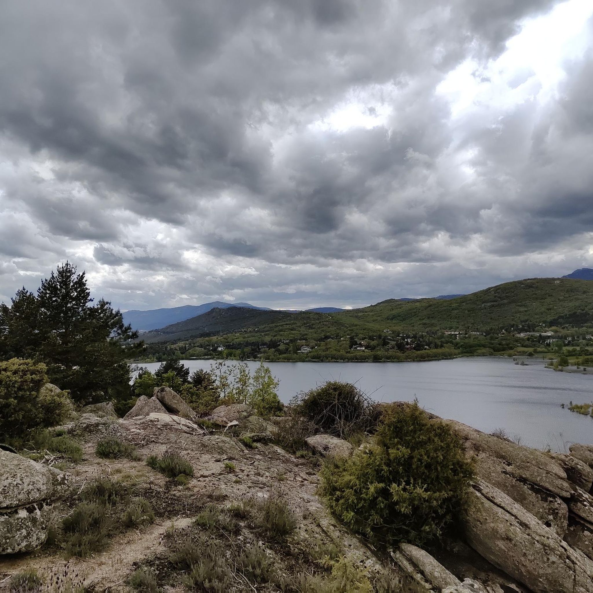
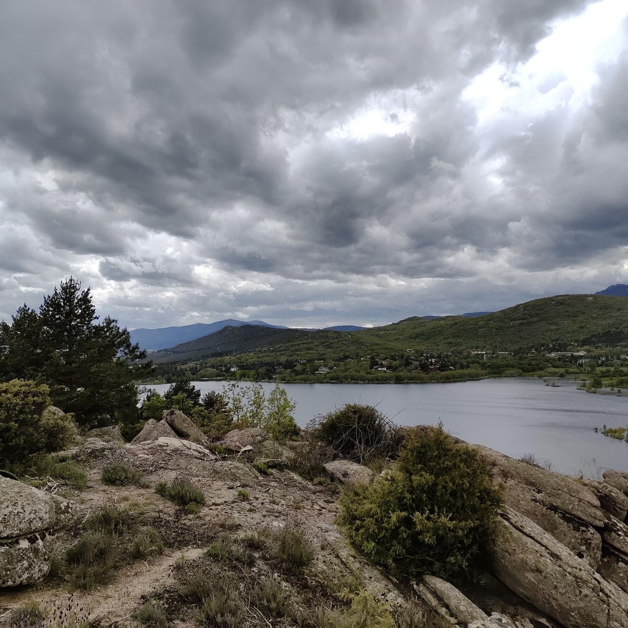
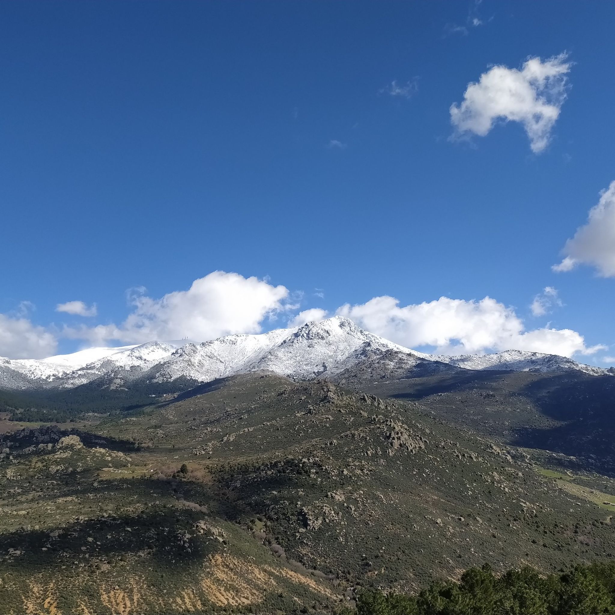
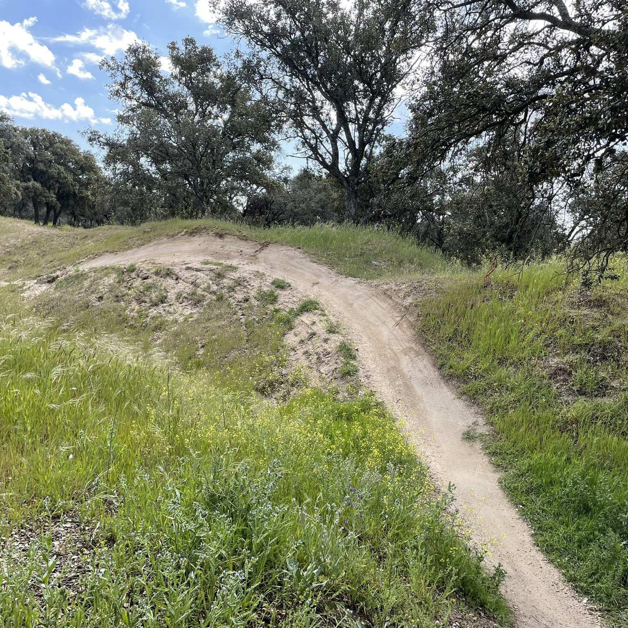
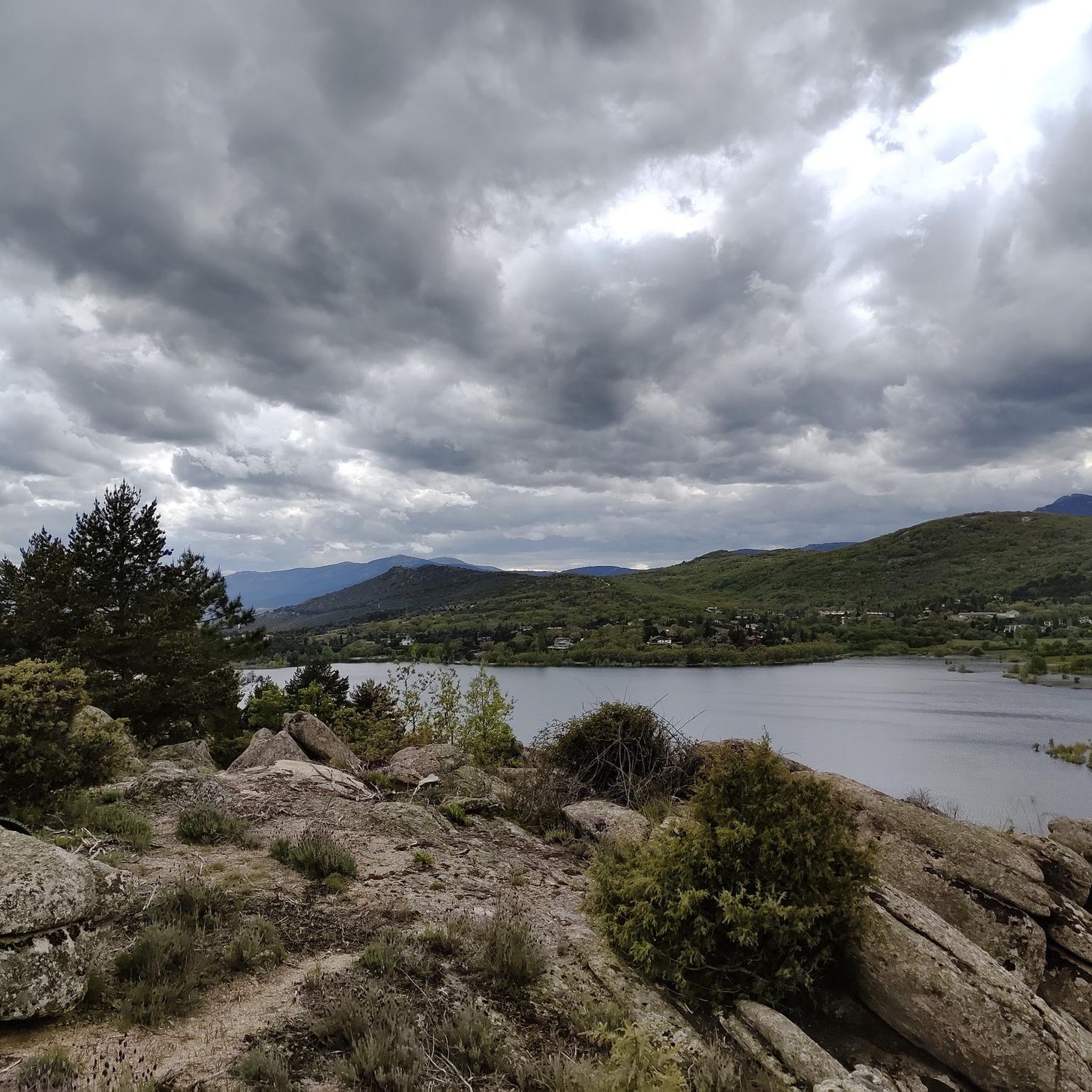
Gravel biking around Becerril de la Sierra offers diverse landscapes within the Sierra de Guadarrama National Park. The region features mountainous terrain with prominent peaks and hills, alongside extensive networks of gravel tracks and dirt paths. Cyclists can explore varied ecosystems, including oak groves, pine forests, and striking granite formations. Water bodies like the Navacerrada and Maliciosa Reservoirs provide scenic routes.
Best gravel bike trails around Becerril De La Sierra
- The most popular gravel bike trail is The Seven Gates…
Last updated: July 8, 2026
5.0
(1)
21
riders
Moderate gravel ride. Good fitness required. Mostly paved surfaces. Suitable for all skill levels.
5.0
(2)
14
riders
Moderate gravel ride. Good fitness required. Mostly paved surfaces. Suitable for all skill levels.

Sign up for free
12
riders
33.7km
02:50
650m
650m
Hard gravel ride. Very good fitness required. Mostly paved surfaces. Suitable for all skill levels.
7
riders
48.5km
04:00
550m
550m
Hard gravel ride. Very good fitness required. Mostly paved surfaces. Suitable for all skill levels.
13
riders
27.6km
02:15
520m
530m
Hard gravel ride. Very good fitness required. Mostly paved surfaces. Suitable for all skill levels.
Get access to more routes and recommendations from other explorers.
Sign up for free
Already have an account?
Our route recommendations are based on thousands of hikes, rides, and runs completed by other people on komoot.
Start today with a free account
Your next adventure awaits.
Login or Signup
Tips from the Community

Beautiful viewpoint with views of the Santillana reservoir before descending to Manzanares.
0
0

Beautiful place full of history.
0
0

The view of La Maliciosa from the bridge is spectacular. A short break before starting the climb to Alto del Enebrillo.
0
0
Reservoir located in the beautiful town of Manzanares el Real.
0
0

Last parking lot open to cars (limited). There's a bar. From here, it's all uphill.
0
0

There is a nice viewpoint where you can see the Pedriza
0
0
For the moment, this bar is still standing, the cantocochino ones were recently removed.
0
0
At this point you can cross the stream that normally carries a lot of water, to reach the Batán Bridge.
0
0
Frequently Asked Questions
How many gravel bike trails are available around Becerril de la Sierra?
There are over 100 gravel bike trails around Becerril de la Sierra, offering a wide range of options for all skill levels. The komoot community has explored nearly 1,000 routes in the area.
What kind of terrain can I expect on the gravel bike trails in Becerril de la Sierra?
The terrain around Becerril de la Sierra is incredibly diverse, featuring mountainous landscapes with prominent peaks like La Maliciosa, extensive networks of gravel tracks, and dirt paths. You'll encounter varied ecosystems, including oak groves, pine forests, and striking granite formations, especially within the Sierra de Guadarrama National Park.
Are there any easy gravel bike trails suitable for beginners or families?
While many routes offer a moderate to difficult challenge, there are options for easier rides. The region's extensive network includes paths suitable for different skill levels. For a moderate ride, consider The Seven Gates – Guadarrama River Bridge loop from Moralzarzal, which is 30.5 miles long and offers varied terrain.
What are the best times of year for gravel biking in Becerril de la Sierra?
Spring and autumn are generally the best seasons for gravel biking in Becerril de la Sierra. In spring, the area is adorned with blooming flowers, adding to the scenic beauty. The weather is typically milder and more pleasant for cycling during these periods, avoiding the intense heat of summer or the potential for snow in winter at higher altitudes.
Are there any circular gravel bike routes in the area?
Yes, many of the gravel bike routes around Becerril de la Sierra are circular, allowing you to start and end at the same point. An example is the Manzanares el Real Castle – Santillana Reservoir loop from Becerril de la Sierra, a 34.6-mile moderate path that circles the Santillana Reservoir.
What can I see along the gravel bike trails around Becerril de la Sierra?
Many routes offer stunning natural beauty and points of interest. You can cycle around water bodies like the Navacerrada and Maliciosa Reservoirs, or enjoy views of the Santillana Reservoir. Some trails pass by historical sites like the Roman Road of Puerto de la Fuenfría. For specific landmarks, consider exploring highlights such as Navacerrada Pass or the various refuges like El Pingarrón Refuge.
Are there any challenging gravel bike routes for experienced riders?
Absolutely. Becerril de la Sierra is known for its mountainous terrain and offers numerous challenging routes. Over 60% of the trails are rated as difficult, featuring significant ascents and technical sections. For a demanding ride, try the Santillana Reservoir – Manzanares el Real Castle loop from Mataelpino, a 36.4-mile difficult trail with considerable elevation gain.
What do other gravel bikers enjoy most about Becerril de la Sierra?
The area is highly rated by the komoot community, with an average score of 4.3 stars from over 30 reviews. Reviewers often praise the diverse landscapes, the stunning views of the Sierra de Guadarrama, and the extensive network of trails that cater to various skill levels, from tranquil reservoir loops to demanding mountain ascents.
Are there any routes that pass by the Santillana Reservoir?
Yes, the Santillana Reservoir is a prominent feature in the region and several routes offer scenic views or loop around it. For example, the Santillana Reservoir Bridge – Santillana Reservoir loop from Cerceda is a 34.7-mile difficult route that explores this beautiful area.
Can I reach the gravel bike trails using public transport from Madrid?
Becerril de la Sierra is accessible by public transport from Madrid. The Camino de Santiago de Madrid, which passes through the town, indicates its connectivity. For specific routes and schedules, it's advisable to check local bus services that connect Madrid with towns in the Sierra de Guadarrama region, many of which are bike-friendly.
Are there any places to stop for refreshments or amenities along the trails?
Becerril de la Sierra and surrounding towns offer various cafes, pubs, and accommodations. While specific amenities directly on every trail might vary, routes often pass through or near villages where you can find places to refuel. Planning your route to include stops in towns like Moralzarzal, Mataelpino, or Cerceda is a good strategy.
What are the elevation gains like on the gravel bike trails?
The elevation gains vary significantly depending on the trail's difficulty. Moderate routes might have around 300-400 meters of ascent, while difficult trails can feature over 600 meters, and some even up to 1900 meters of climbing. The mountainous terrain of the Sierra de Guadarrama ensures plenty of challenging climbs for those seeking them.
Most popular routes around Becerril De La Sierra
Most popular attractions around Becerril De La Sierra

Get inspired with the komoot mobile app


Explore more
Browse the best Gravel rides in other regions.
