The best mountain hikes around Becerril De La Sierra
4.9
(9)
168
hikers
21
hikes
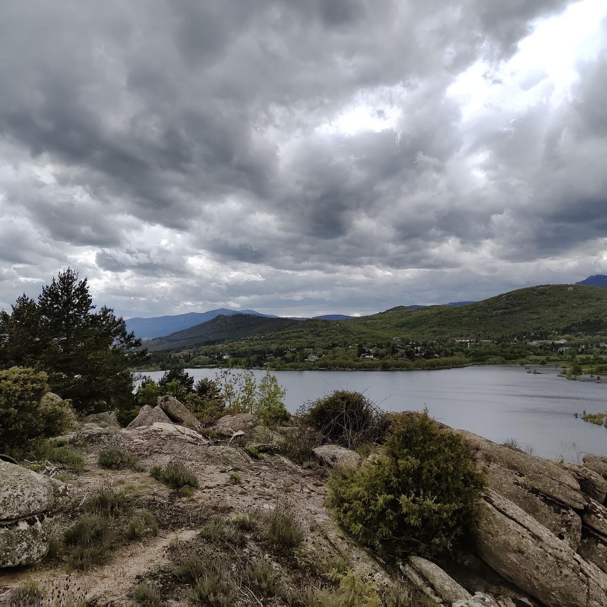
Mountaineering routes around Becerril de la Sierra are situated within the Sierra de Guadarrama National Park, offering access to diverse mountainous terrain. The region features significant granite formations, oak groves, and Mediterranean flora, with a distinct mountain climate. Prominent peaks such as La Maliciosa (2,227 meters) and La Bola del Mundo define the landscape, providing challenging ascents and panoramic views. The area also includes the Navacerrada Reservoir, adding varied scenery to the routes.
Best mountaineering routes around Becerril De La…
Last updated: June 28, 2026
5.0
(2)
37
hikers
11.0km
04:36
570m
570m
Hard mountaineering route. Good fitness required. Sure-footedness, sturdy shoes and alpine experience required.
5.0
(1)
36
hikers
11.0km
04:36
570m
570m
Hard mountaineering route. Good fitness required. Sure-footedness, sturdy shoes and alpine experience required.

Sign up for free
5.0
(1)
16
hikers
11.3km
05:35
740m
740m
Hard mountaineering route. Very good fitness required. Sure-footedness, sturdy shoes and alpine experience required.
5.0
(1)
16
hikers
Moderate mountaineering route. Good fitness required. Mostly accessible paths. Sure-footedness required.
11
hikers
Hard mountaineering route. Good fitness required. Sure-footedness, sturdy shoes and alpine experience required.
Get access to more routes and recommendations from other explorers.
Sign up for free
Already have an account?
Our route recommendations are based on thousands of hikes, rides, and runs completed by other people on komoot.
Start today with a free account
Your next adventure awaits.
Login or Signup
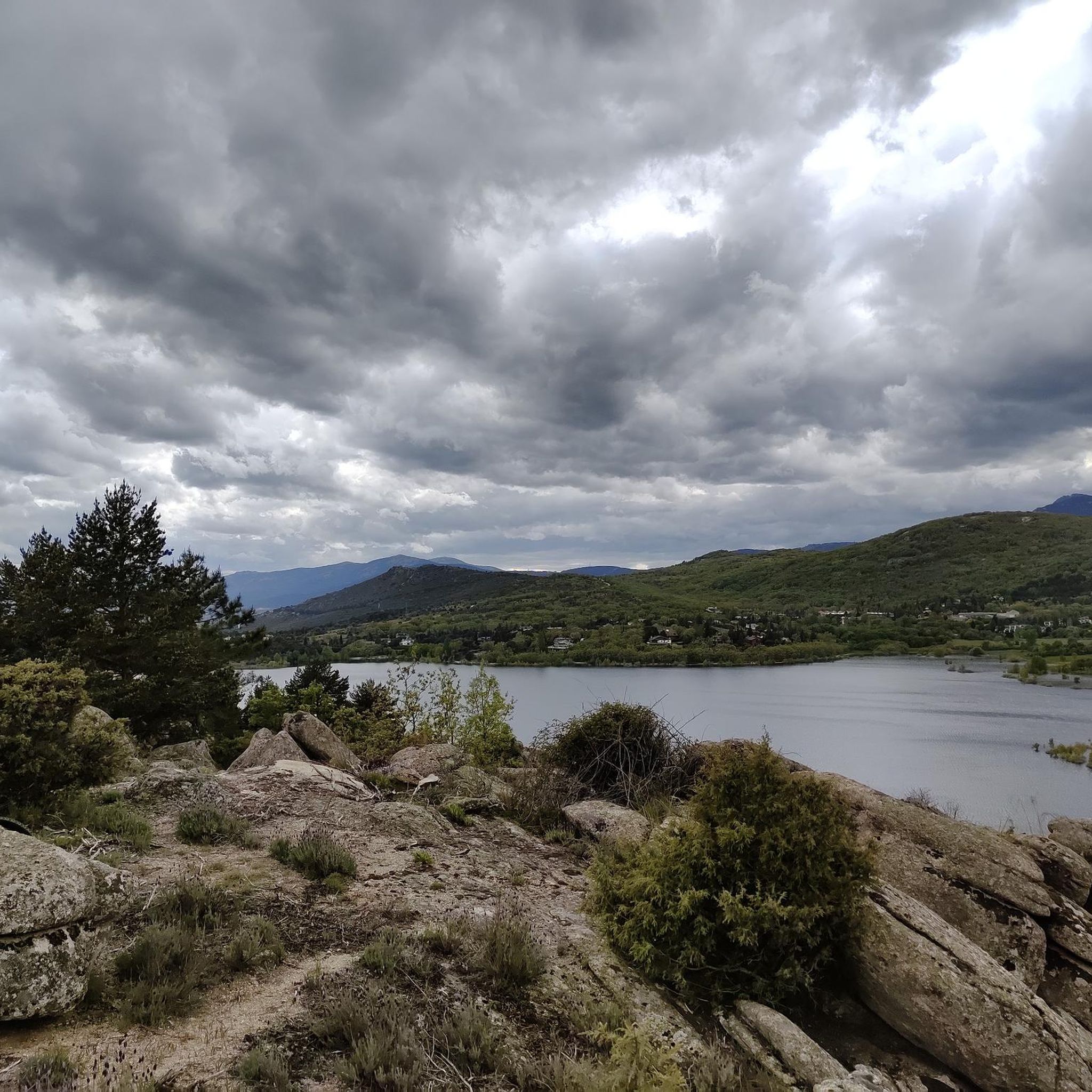
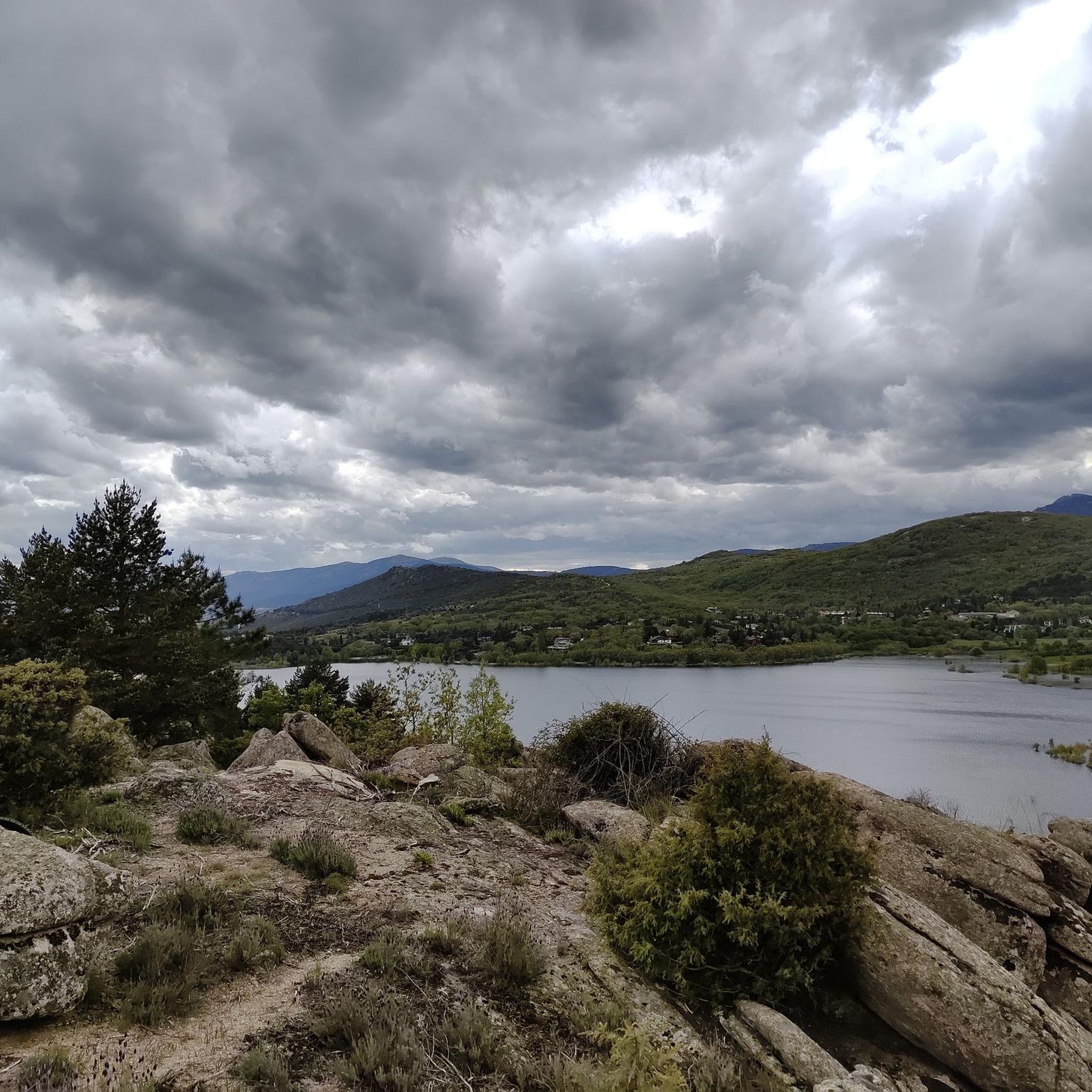
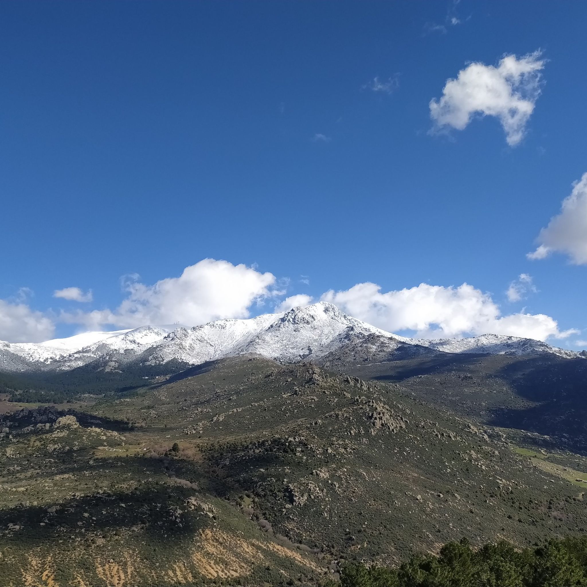
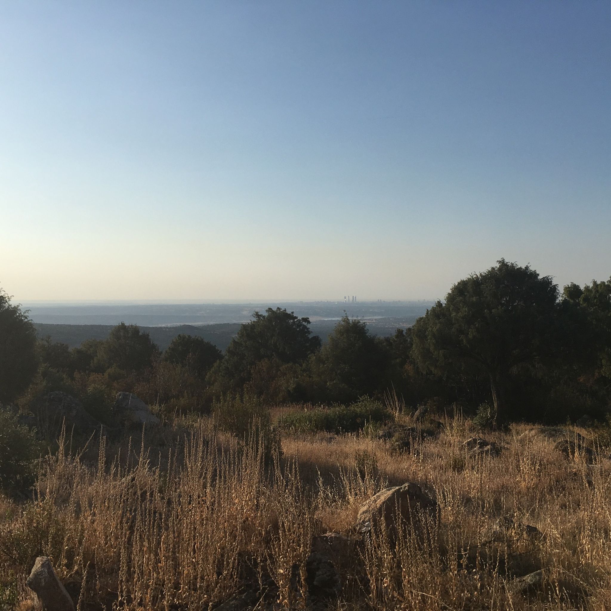

Tips from the Community

Highest peak between Madrid and Segovia.
0
0

To ascend it, you must carry the appropriate equipment in snow/ice, an ice axe and crampons. And be very careful with crevasses and cornices. You can also reach its summit from the normal route to Peñalara (Dos Hermanas).
0
0

The name comes from the stone boundary markers erected in the 18th century to demarcate lands acquired by Charles III for hunting. During the Spanish Civil War, it was a strategic area with a Republican detachment stationed there. It formerly housed the Valcotos ski resort, which no longer exists.
1
0

There's a fountain as you reach the top on the right. Follow the cobblestone path.
0
1
Tired from the climb, you sit down sheltered from the wind and eat a snack. If it's not windy or cold, look toward Peñalara and make out the landscapes and lagoons. Look toward the Bola del Mundo and admire the scenery. Look toward La Cuerda Larga and explore its grandeur.
1
0
Very special place in Spring.
0
0

True! A good place to observe the peaks of the Cuerda Larga and learn the names of the peaks. The route along the Cuerda Larga is spectacular, but you can see how much snow there is now. The route is very beautiful, but it does involve some risk, but when it thaws, the route is safer. But with good equipment, the snow is incredibly attractive.
0
0

stop and learn, of course, you have to know what peaks are.
0
0
Frequently Asked Questions
How many mountaineering routes are available around Becerril De La Sierra?
There are over 25 mountaineering routes around Becerril De La Sierra, offering a wide range of options for different skill levels. The komoot community has explored these diverse trails more than 200 times.
What are the difficulty levels of mountaineering routes in Becerril De La Sierra?
The routes around Becerril De La La Sierra cater to various experience levels. You'll find approximately 8 moderate routes and 19 difficult routes, providing options from steady ascents to challenging mountain expeditions within the Sierra de Guadarrama National Park.
Are there any circular mountaineering routes in the area?
Yes, many routes in Becerril De La Sierra are circular, allowing you to start and end at the same point. For example, you could try the La Maliciosa (2,227 m) loop from Antiguo Apeadero de Dos Castillas, which offers panoramic views, or the Mountaineering loop from Antiguo Apeadero de Dos Castillas, which takes you through pine forests.
What kind of natural features can I expect to see on these routes?
The mountaineering routes in Becerril De La Sierra are set within the stunning Sierra de Guadarrama National Park. You'll encounter majestic granite formations, diverse Mediterranean flora, oak groves, and pine forests. Prominent peaks like La Maliciosa and La Bola del Mundo offer breathtaking panoramic views, and the Navacerrada Reservoir adds scenic water features to the landscape.
Are there any family-friendly or beginner mountaineering routes?
While many routes are moderate to difficult, the region offers some easier options. The 'Ruta de la Romería' is an easy 4.2 km circular trail mentioned in regional research, ideal for relaxed walks and families. For a slightly more challenging but still accessible option, the Mountaineering loop from Antiguo Apeadero de Dos Castillas is a moderate 7.3 km route through pine forests.
What are some notable landmarks or attractions along the mountaineering trails?
As you explore, you might encounter several interesting landmarks. The Navacerrada Pass is a significant point, and you can also find historical sites like the Roman Road of Puerto de la Fuenfría. Natural formations include the impressive Peñalara Glacial Cirque and the unique El Elefantito rock formation.
What do other mountaineers enjoy most about the routes in Becerril De La Sierra?
The routes in Becerril De La Sierra are highly rated by the komoot community, with an average score of 4.8 stars from over 10 reviews. Mountaineers often praise the diverse terrain, from granite formations to pine forests, and the stunning panoramic views from peaks like La Maliciosa.
What is the best time of year for mountaineering in Becerril De La Sierra?
The Sierra de Guadarrama National Park, where Becerril De La Sierra is located, experiences a distinct mountain climate. Spring and autumn are generally ideal for mountaineering, offering pleasant temperatures and vibrant landscapes. Spring brings blooming jaras (cistus shrubs), while autumn showcases beautiful foliage. Summer can be warm, and winter offers opportunities for snow sports in nearby areas, but requires appropriate gear and awareness of conditions.
Are there any challenging routes for experienced mountaineers?
Absolutely. For experienced mountaineers, routes like Siete Picos – Second Peak – Collado Ventoso loop from Antiguo Apeadero de Dos Castillas offer a difficult 10 km path traversing mountainous terrain. Another challenging option is the Sanctuary with Jesus' Manger – Snail-Shaped Rock loop from Manzanares el Real, which involves significant elevation gain.
Is public transport available to access the mountaineering trails?
Becerril De La Sierra is situated just 50 kilometers from Madrid, making it relatively accessible. While specific public transport details for trailheads are not provided, the proximity to Madrid suggests regional bus services might connect to the town, from where some trailheads could be reached. It's advisable to check local transport schedules for the most up-to-date information.
Are there any routes that offer views of the Navacerrada Reservoir?
Yes, the Navacerrada Reservoir is a significant natural attraction in the area. The 'Ruta de la Maliciosa Baja' offers impressive views of the reservoir and La Maliciosa peak. Additionally, the View of the Reservoir loop from Cantocochino is a difficult 9.8 km route specifically designed to showcase these scenic water views.
What are the highest peaks accessible from Becerril De La Sierra?
The region is home to several prominent peaks within the Sierra de Guadarrama National Park. You can ascend La Maliciosa Summit (2,227 meters) for breathtaking panoramic views. Other notable summits include Seven Peaks and Alto de las Guarramillas (Bola del Mundo).
Most popular routes around Becerril De La Sierra
Most popular attractions around Becerril De La Sierra

Get inspired with the komoot mobile app


Explore more
Browse the best Mountain Hikes & Routes in other regions.
