The best gravel rides around Bagnone
4.9
(17)
199
riders
12
rides
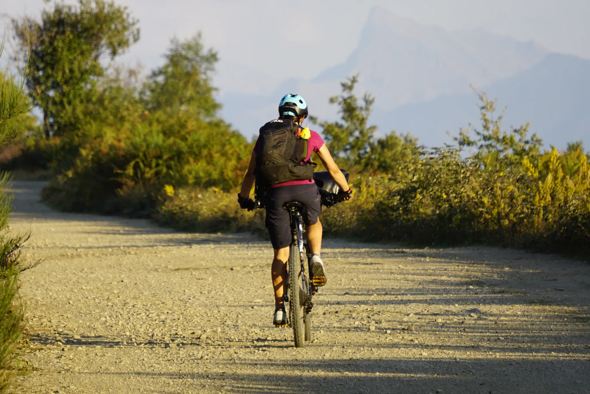
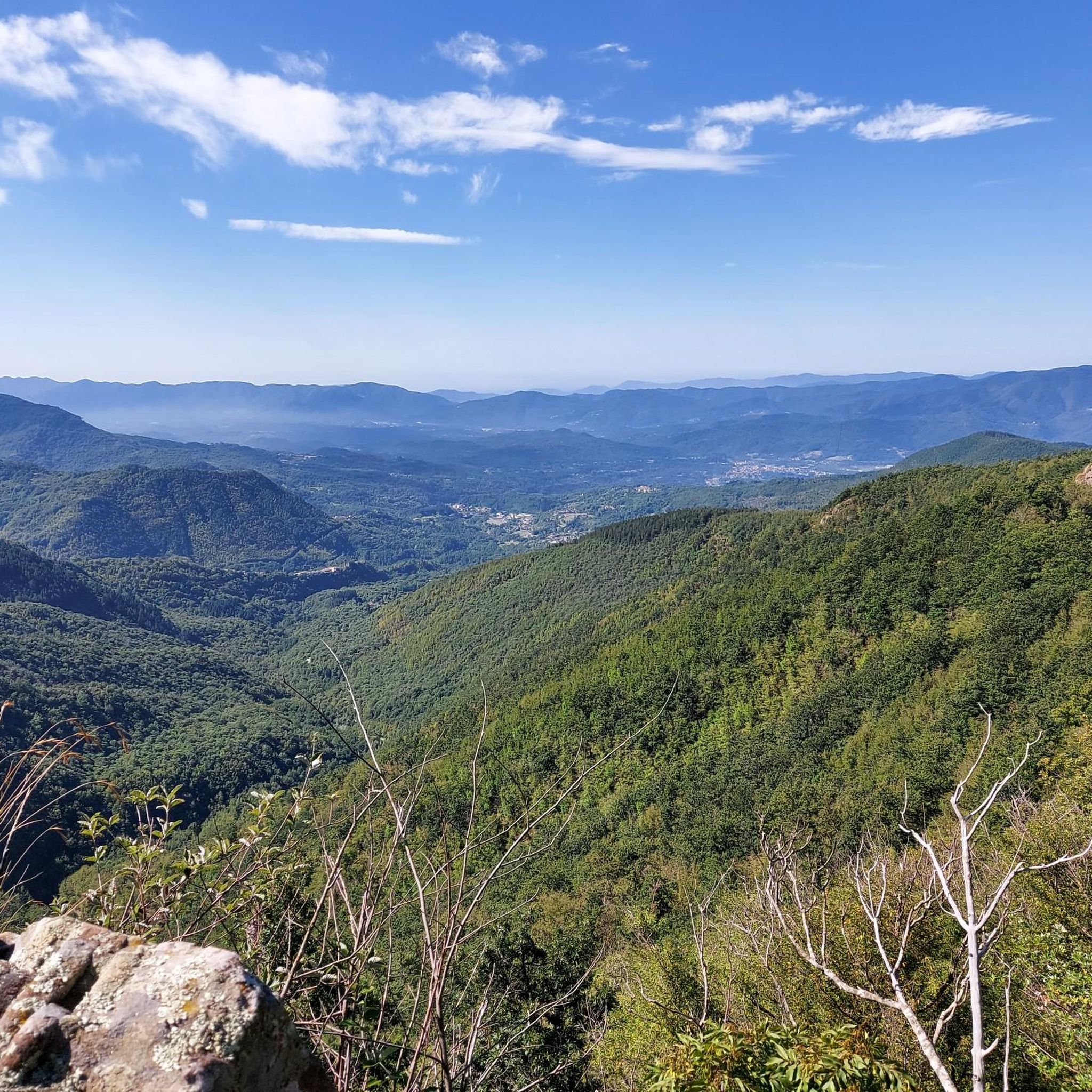
Gravel biking around Bagnone offers diverse landscapes within Italy's Lunigiana region, characterized by unpaved roads, ancient tracks, and significant elevation changes. The area is situated in the pre-Apennine Tuscan-Emilian zone, bordering the Apuan Alps, providing a mix of rolling hills and mountainous terrain. Riders can expect routes that traverse medieval villages, alongside streams, and through varied natural features. The region's gravel bike trails often include rough dirt tracks and require suitable equipment due to their challenging nature.
Best gravel bike…
Last updated: October 21, 2026
4.8
(5)
105
riders
90.1km
06:59
1,990m
1,990m
Hard gravel ride. Very good fitness required. Mostly paved surfaces. Suitable for all skill levels.
4.8
(5)
48
riders
114km
08:06
2,130m
2,120m
Hard gravel ride. Very good fitness required. Mostly paved surfaces. Suitable for all skill levels.

5.0
(1)
8
riders
28.2km
02:21
840m
840m
Hard gravel ride. Very good fitness required. You may need to push your bike for some segments of this route.
9
riders
89.4km
06:45
2,220m
2,220m
Hard gravel ride. Very good fitness required. Mostly paved surfaces. Suitable for all skill levels.
5.0
(2)
13
riders
36.2km
02:45
930m
930m
Hard gravel ride. Very good fitness required. Mostly paved surfaces. Suitable for all skill levels.
Get access to more routes and recommendations from other explorers.
Already have an account?
Our route recommendations are based on thousands of hikes, rides, and runs completed by other people on komoot.
Start today with a free account
Your next adventure awaits.

Other adventures around Bagnone

Tips from the Community

Pontremoli lies on the historic Via Francigena pilgrimage route, which leads from Canterbury/Southern England to Rome. A medieval gem in northern Tuscany.
1
0
A beautiful church with a huge dome and opulent baroque architecture
0
0
The Concattedrale di Santa Maria Assunta impresses inside with a huge dome and opulent Baroque architecture
1
0
The historic center captivates with stately Baroque palaces and elegant squares
1
0

The new cycle-pedestrian track of Aulla is built on the route of the former Pontremolese railway, of which a first section of 665 meters has been inaugurated (part of an overall route of over 1.2 km). Route characteristics Route: Built on the site of the old wall of the disused railway. Dimensions: 3.50 meters wide, with a double cycle lane and a dedicated pedestrian path. Lighting: Fully illuminated for the entire inaugurated section. Connections: It connects to the green routes of Lunigiana and to the sections near the Via Francigena cycle path and the Greenway of the River Magra. You can find maps and detailed tracks of the surroundings on the Aulla cycle path guide on Komoot.
0
0
The Torre del Castello Malaspina in the municipality of Villafranca in Lunigiana mainly refers to the imposing and famous cylindrical structure of the Castello Malaspina di Malgrate, although in the municipal capital there are also the ruins of the Castello di Malnido, the historic Dantesque residence of the Malaspina marquises, which was also originally equipped with a control tower. The best-preserved and famous fortification with its slender tower is located precisely in the hamlet of Malgrate. The cylindrical keep towers over the valley and is an unmistakable symbol of the Lunigiana landscape.
0
0
Torre del Casotto (historically also known as Torre dei Seratti) is one of the ancient fortified structures of Pontremoli, located in the evocative region of Lunigiana. Built at the beginning of the 14th century by the noble Ghibelline family of the Seratti, the tower stands in a highly strategic position: it is located close to the confluence between the Verde stream and the Magra river. Together with the characteristic Ponte del Casotto (also called Ponte di San Francesco) and the nearby Porta di Imoborgo, this defensive structure supervised the western access to the medieval village and the commercial flows directed towards the Ligurian coast along the historic Via dei Monti. The combined image of the Tower and the Ponte del Casotto is so deeply rooted in the local identity that for centuries it has constituted the official core of the coat of arms of the Municipality of Pontremoli.
0
0
Il Ponte della Crësa is an ancient 14th-century stone bridge located in Pontremoli, Tuscany. It connects the medieval historic village and joins the Sommoborgo area to the Verde stream. It is also known as the San Francesco bridge Built in the 14th century (around 1219 as the original core near the church of San Francesco). Also called the San Francesco di sopra bridge because it leads to the nearby church of San Francesco. It united the ancient parts of the city divided by historical rivalries and served as access to the fortified village
0
0
Frequently Asked Questions
How many gravel bike trails are available around Bagnone?
There are over 14 gravel bike routes available around Bagnone, offering diverse experiences through the Lunigiana region. These trails are generally challenging, designed for riders seeking significant elevation changes and varied terrain.
What kind of terrain can I expect on gravel bike trails near Bagnone?
Gravel biking around Bagnone features a mix of unpaved roads, ancient tracks, and less-trafficked paved sections. You'll encounter rolling hills that transition into mountainous terrain, especially as you approach the pre-Apennine Tuscan-Emilian zone and the Apuan Alps. Riders should be prepared for rough dirt tracks and significant elevation changes.
What is the typical difficulty level of gravel bike routes in the Bagnone area?
The gravel bike routes around Bagnone are generally considered difficult. They often involve substantial elevation gains and cover long distances, requiring good fitness and suitable equipment. For example, routes like the Passo Alpicella (710 m) – Alta Via dei Monti Liguri loop from Villafranca-Bagnone feature over 1900 meters of elevation gain.
What do other gravel bikers say about the trails around Bagnone?
The gravel biking routes in Bagnone are highly rated by the komoot community, with an average score of 5.0 stars from over 11 reviews. More than 130 gravel bikers have used komoot to explore Bagnone's varied terrain, often praising the challenging nature, extensive views, and the unique experience of riding through medieval villages and natural landscapes.
When is the best time of year to go gravel biking in Bagnone?
The Lunigiana region, including Bagnone, is ideal for outdoor activities for much of the year. Spring and autumn generally offer the most pleasant temperatures for gravel biking, avoiding the peak summer heat and potential winter snows in higher elevations. Always check local weather conditions before heading out.
Are there options for parking when accessing gravel trails around Bagnone?
While specific parking areas for each trail are not detailed, Bagnone and its surrounding villages are generally accessible by car. Many routes start from or pass through towns where public parking may be available. It's advisable to check parking options in the specific starting village for your chosen route.
What historical landmarks or natural attractions can I see along the gravel routes?
The Bagnone area is rich in history and natural beauty. Many gravel routes will take you past medieval villages and castles. You can explore highlights such as the Historic Center of Pontremoli, the Piagnaro Castle, or the Lusuolo Castle and Medieval Village. The region is known as the 'land of a hundred castles,' offering numerous historical points of interest.
Are there any routes that feature water elements like streams or waterfalls?
Yes, the Bagnone Valley is characterized by its namesake stream, which features small jumps and waterfalls visible from ancient bridges. The crystal-clear waters of the Bagnone stream and its tributaries offer refreshing sights. While not explicitly marked on all gravel routes, many trails will traverse or offer views of these natural water features, especially in the lower valley areas.
Are there any longer, multi-day gravel biking challenges near Bagnone?
Yes, the broader Lunigiana region is home to the multi-stage "Lunigiana Gravel," a 210-kilometer circular itinerary designed for gravel or e-gravel bikes. This challenging route winds through medieval villages, past ancient castles, and alongside streams. While not a single komoot route in this guide, Bagnone is integrated into this network, and you can find more information about the broader route on Visit Tuscany.
Are there any family-friendly gravel biking options in Bagnone?
The gravel bike routes listed for Bagnone are generally rated as difficult due to significant elevation changes and challenging terrain. While the region offers diverse outdoor activities, specific easy, family-friendly gravel biking options are not prominent in this selection. Families with older, experienced riders might find some sections manageable, but beginners or young children may find these routes too demanding.
Can I bring my dog on gravel bike trails in Bagnone?
While there are no specific restrictions mentioned for dogs on the gravel trails themselves, the Bagnone area is part of the Tuscan-Emilian Apennines National Park and a UNESCO MAB Reserve. It's always best to keep dogs on a leash, especially in protected areas, to protect local wildlife and ensure a safe experience for all trail users. Be mindful of other cyclists and hikers.
What are some notable natural features or viewpoints accessible by gravel bike?
The region offers breathtaking landscapes, from the pre-Apennine Tuscan-Emilian area to views towards the dramatic Apuan Alps. Routes like the Cycle path to Aulla – Passo Alpicella (710 m) loop from Aulla provide extensive views. You might also encounter the Mount Sillara area or the Lagastrello Dam, offering scenic vistas and natural beauty.
Most popular routes around Bagnone
Most popular attractions around Bagnone

Get inspired with the komoot mobile app


Explore more
Browse the best Gravel rides in other regions.
