The best gravel rides around Østensjøvannet
4.5
(138)
1,860
riders
83
rides
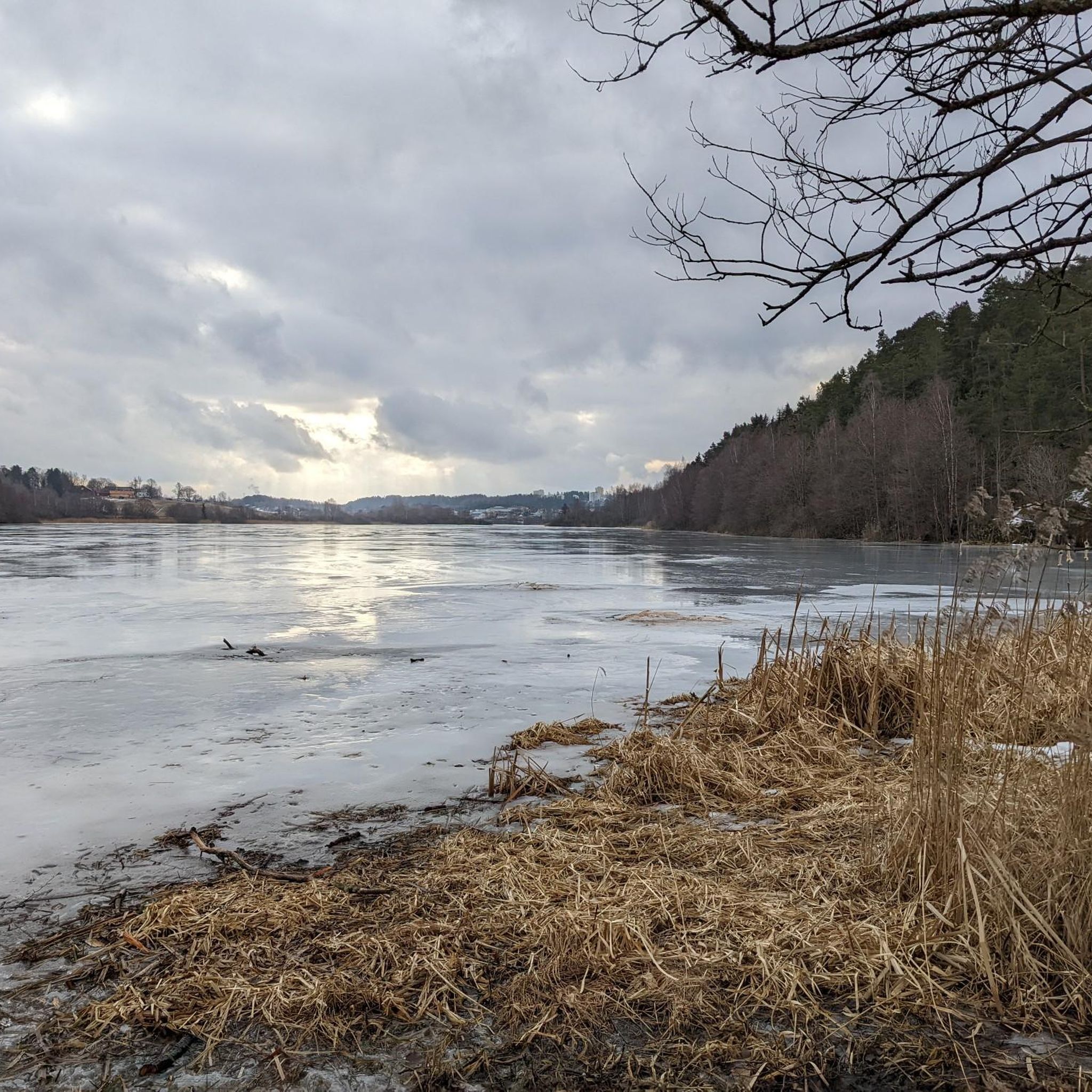
Gravel biking around Østensjøvannet offers a network of trails through varied terrain in the eastern part of Oslo. The region is characterized by its central lake, Østensjøvannet, surrounded by woodlands and open landscapes. Riders can expect a mix of forest paths, gravel roads, and some paved sections, with routes often featuring moderate elevation changes. This area provides accessible gravel biking experiences close to urban centers.
Best gravel bike trails around Østensjøvannet
- The most popular gravel bike trail is Sarabråten Ruins…
Last updated: July 3, 2026
5.0
(1)
40
riders
30.9km
02:14
570m
570m
Hard gravel ride. Very good fitness required. Mostly paved surfaces. Suitable for all skill levels.
5.0
(2)
54
riders
51.6km
03:15
780m
780m
Hard gravel ride. Very good fitness required. Mostly paved surfaces. Suitable for all skill levels.

Sign up for free
3.0
(4)
9
riders
19.0km
01:24
300m
300m
Moderate gravel ride. Good fitness required. Mostly paved surfaces. Suitable for all skill levels.
16
riders
19.4km
01:20
310m
310m
Moderate gravel ride. Good fitness required. Mostly paved surfaces. Suitable for all skill levels.
5.0
(1)
11
riders
29.9km
01:59
450m
450m
Hard gravel ride. Very good fitness required. Mostly paved surfaces. Suitable for all skill levels.
Get access to more routes and recommendations from other explorers.
Sign up for free
Already have an account?
Our route recommendations are based on thousands of hikes, rides, and runs completed by other people on komoot.
Start today with a free account
Your next adventure awaits.
Login or Signup
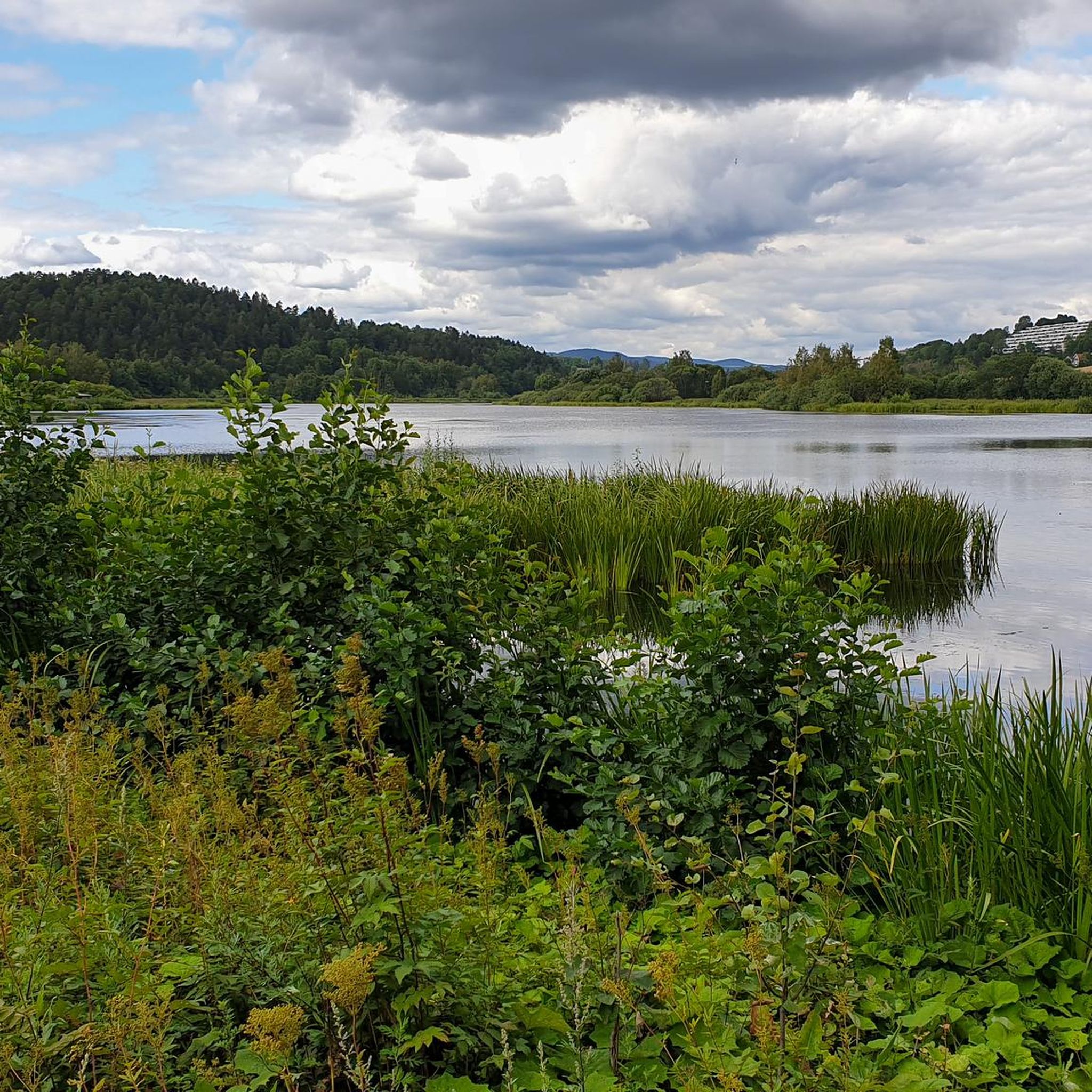
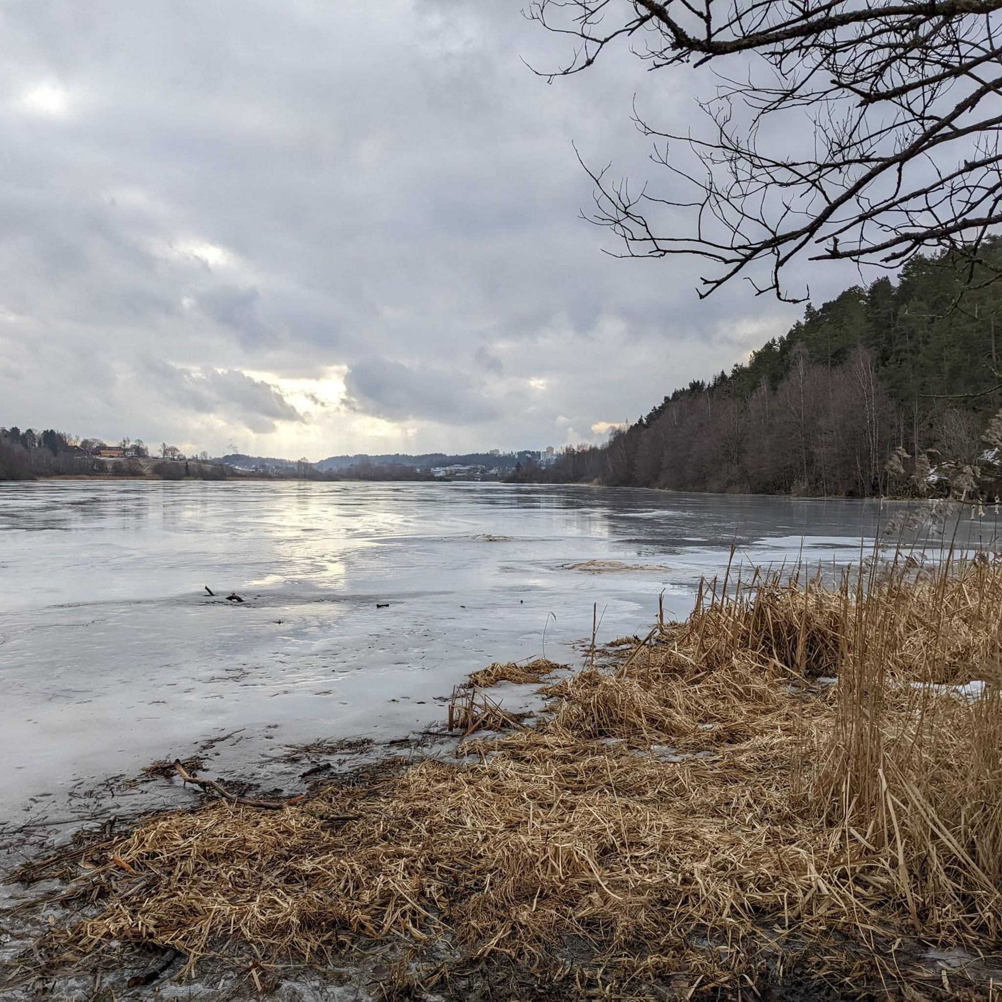
Tips from the Community

It is closed now
0
0


A worthwhile stopover… even in (late) summer
0
0


Along the path is this small but beautiful waterfall. There is also a bridge over the river and a small cafe where you can eat sweets
0
0

Cosy cabin café tucked into the forest, a perfect stop for a coffee or waffle after a walk around the lake.
0
0

Nestled in the forest above Nøklevann, Sarabråten was once the summer estate of Christiania’s 19th-century elite, hosted by timber baron Thorvald Meyer. Today, only a few ruins remain, but the place still carries a quiet grandeur, perfect for a reflective pause in the woods.
0
0
Frequently Asked Questions
How many gravel bike trails are available around Østensjøvannet?
There are over 90 gravel bike trails documented around Østensjøvannet on komoot, offering a wide range of options for different skill levels. The area is known for its varied terrain, including forest paths and gravel roads.
Are there any easy or beginner-friendly gravel bike routes in the Østensjøvannet area?
While many routes are moderate to difficult, there are some easier options. For instance, the area features trails suitable for those new to gravel biking, often with less elevation gain. You can find one easy route and 36 moderate routes in the region.
What is the best season for gravel biking around Østensjøvannet?
The best season for gravel biking around Østensjøvannet is typically from spring through autumn, when the trails are dry and the weather is mild. During these months, you can fully enjoy the woodlands and lake views. Winter conditions can bring snow and ice, making some trails challenging or inaccessible.
Are there any challenging gravel bike trails for experienced riders?
Yes, Østensjøvannet offers numerous challenging routes. For example, the Skjærsjø Dam – Skjennungen viewpoint loop from Bøler is a difficult 31.9-mile (51.5 km) path with significant elevation gain, featuring extensive forest trails and a viewpoint overlooking Skjennungen. There are 60 difficult routes in total.
Can I reach the gravel bike trails around Østensjøvannet using public transport?
Yes, the Østensjøvannet area is well-connected to Oslo's public transport network. Many trailheads are accessible via bus or metro, making it convenient to start your ride without a car. Check local transport schedules for the most direct routes to areas like Oppsal, Bøler, or Skullerud.
Are there any scenic viewpoints or interesting landmarks along the gravel bike routes?
Absolutely. Many routes offer scenic views of Lake Ulsrud and Skjennungen. You can also explore historical sites like the Sarabråten Ruins. The Sarabråten Ruins – View of Lake Ulsrud loop from Oppsal is a popular option that combines historical exploration with lake views.
Are there any cafes or places to stop for refreshments along the trails?
While the guide doesn't list specific cafes for every route, the region around Østensjøvannet, being close to urban areas, does have options. For example, the Rustadsaga Café – Lakeside Rest Area at Østmarka loop from Lambertseter specifically mentions Rustadsaga Café, indicating that some routes pass by or near places offering refreshments.
What kind of elevation gain can I expect on gravel bike routes in Østensjøvannet?
Elevation gain varies significantly across routes. While some moderate trails might have around 300 meters of ascent, more challenging routes like the Skjærsjø Dam – Skjennungen viewpoint loop from Bøler can feature over 770 meters of elevation gain, providing a good workout for experienced riders.
Are there any family-friendly gravel biking options in the area?
For families, it's best to look for the shorter, less technical routes with minimal elevation. While specific 'family-friendly' designations aren't always explicit, focusing on the easier or moderate-rated trails will provide a more enjoyable experience for all ages. Always check the route details for distance and difficulty before heading out.
What do other gravel bikers enjoy most about the Østensjøvannet trails?
The area is highly rated by the komoot community, with an average score of 4.7 stars from over 150 reviews. Reviewers often praise the varied terrain, the mix of forest paths and gravel roads, and the beautiful lake views. The accessibility from urban centers is also a frequently mentioned positive aspect.
Are there any circular gravel bike routes available?
Yes, many of the gravel bike routes around Østensjøvannet are designed as loops, allowing you to start and end at the same point. Examples include the Sarabråten Ruins – View of Lake Ulsrud loop from Bergkrystallen, which is a moderate 19.3 km loop, and the Sarabråten Ruins – View of Lake Ulsrud loop from Skullerud.
What should I bring for a gravel biking trip in Østensjøvannet?
Given the varied terrain and potential for longer rides, it's advisable to bring a well-maintained gravel bike, appropriate safety gear including a helmet, water, snacks, a repair kit, and navigation tools. Layered clothing is recommended as weather conditions can change, especially in forested areas.
Most popular routes around Østensjøvannet

Get inspired with the komoot mobile app


Explore more
Browse the best Gravel rides in other regions.
