The best walks and hikes around Østensjøvannet
4.5
(1596)
14,943
hikers
585
hikes
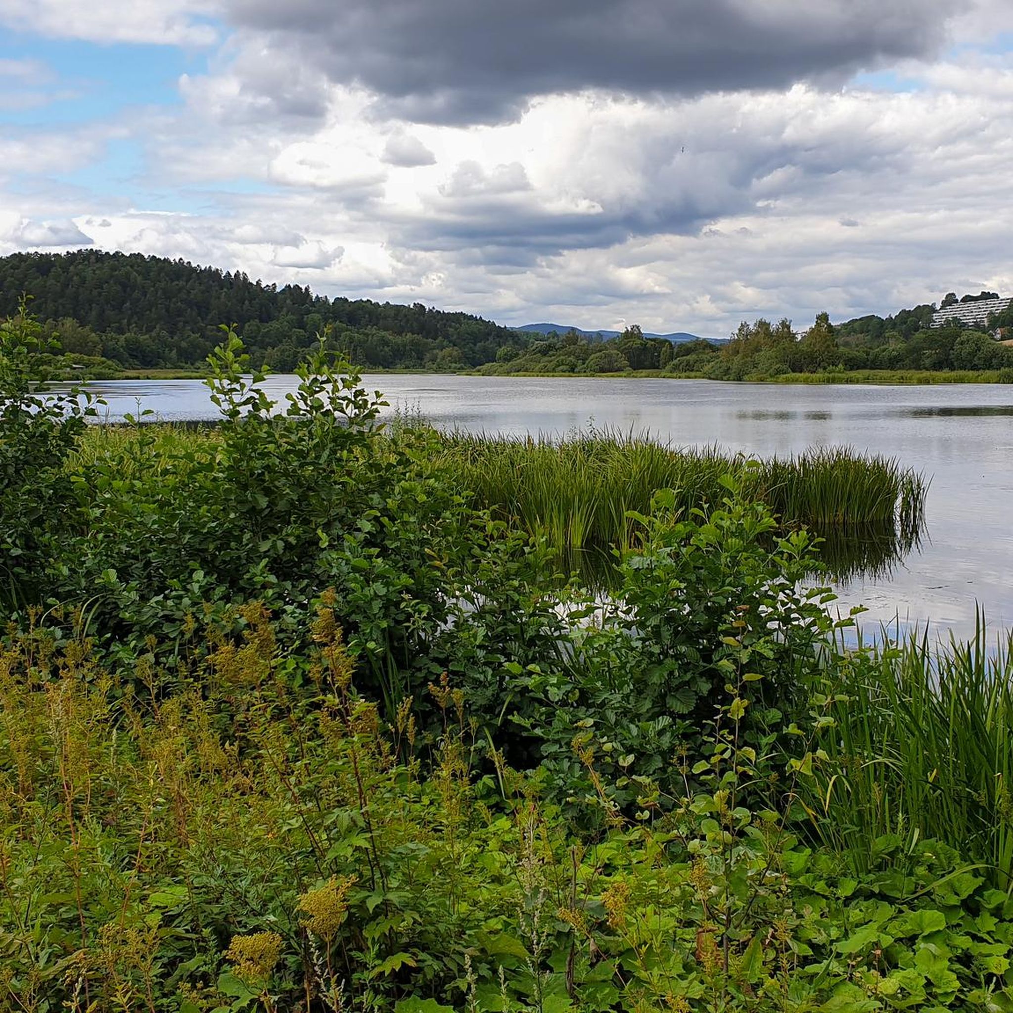
Hiking trails around Østensjøvannet are situated just five kilometers from Oslo's city center, offering an accessible natural escape. The region is characterized by the lake itself, a rich wetland and bird reserve, surrounded by diverse habitats including cultivated land, swamps, lawns, streams, and forests. This mosaic of natural environments provides varied scenery for hikers.
Best hiking trails around Østensjøvannet
- The most popular hiking route is Easy walk around Østensjøvannet, a 2.8 miles (4.4 km) trail that takes 1 hour 9 minutes to complete. This path encircles the lake and is suitable for all fitness levels.
- Another top favourite among local hikers is Sarabråten Ruins – View of Nøklevann loop from Skøyenåsen, a moderate 10.3 miles (16.6 km) path. This route connects to a larger network of trails within the Oslo forests, offering varied landscapes.
- Local hikers also love the Østensjøvannet Trail – View of Østensjøvannet loop from Manglerud, a 5.7 miles (9.2 km) trail leading through diverse habitats including wetlands and forests, often completed in about 2 hours 26 minutes.
- Hiking around Østensjøvannet is defined by its rich wetland, diverse forests, and varied terrain including cultivated land and streams. The network offers options for easy walks and more challenging excursions.
- The routes in Østensjøvannet are highly rated by the komoot community with an average score of 4.5 stars from over 1,400 reviews. More than 13,000 hikers have used komoot to explore Østensjøvannet's varied terrain.
Last updated: June 25, 2026
5.0
(2)
139
hikers
4.45km
01:09
30m
30m
Easy hike. Great for any fitness level. Easily-accessible paths. Suitable for all skill levels.
5.0
(1)
19
hikers
16.3km
04:28
260m
260m
Moderate hike. Good fitness required. Easily-accessible paths. Suitable for all skill levels.

Sign up for free
65
hikers
9.29km
02:27
90m
90m
Moderate hike. Good fitness required. Easily-accessible paths. Suitable for all skill levels.
5.0
(1)
11
hikers
17.9km
04:59
330m
330m
Moderate hike. Good fitness required. Easily-accessible paths. Suitable for all skill levels.
4.0
(1)
16
hikers
11.9km
03:15
180m
180m
Moderate hike. Good fitness required. Easily-accessible paths. Suitable for all skill levels.
Get access to more routes and recommendations from other explorers.
Sign up for free
Already have an account?
Our route recommendations are based on thousands of hikes, rides, and runs completed by other people on komoot.
Start today with a free account
Your next adventure awaits.
Login or Signup

Tips from the Community

This small bridge is always interesting to look at because it blends in well with the surroundings. The two elements on the left and right are made of solid stone, while the bridge itself is constructed of wood.
0
0

Nestled in the forest above Nøklevann, Sarabråten was once the summer estate of Christiania’s 19th-century elite, hosted by timber baron Thorvald Meyer. Today, only a few ruins remain, but the place still carries a quiet grandeur, perfect for a reflective pause in the woods.
0
0
A calm and scenic place to pause on the shore of Nøklevann. With flat rocks, benches, and space to relax, it's ideal for lunch with a view.
0
1
This open area along the Østensjøvannet is ideal for a quiet picnic. A few tables are scattered, offering a stunning view over the lake. Birdsong, calm waters, and the occasional duck make it a peaceful place to take a break and enjoy the scenery.
0
0
A gentle path runs along the Østensjøvannet, offering peaceful views across the water. Keep an eye out for ducks gliding by and sheep grazing near the trail, a quiet reminder that nature and city life blend seamlessly here.
1
0
A charming stretch along the edge of the Østensjøvannet Nature Reserve. The trail winds through the trees with a root-covered path that keeps things playful. Watch your step and enjoy the calm !
0
0

Nice as a stage stop. A nice little stone staircase down into the water, which is very decorative. Here there is also runoff from the Ulsrudvannet in a stream under the road. If you are observant enough, you will see that there are a lot of fugitive boxes hung up in the trees around here.
0
0

Very popular area in the summer. Good for grilling or for a swim in the lake.
0
0
Frequently Asked Questions
How many hiking trails are there in Østensjøvannet?
The Østensjøvannet area offers a wide variety of hiking opportunities, with over 580 different routes available. These range from easy strolls around the lake to more challenging excursions into the surrounding forests.
Are there easy or family-friendly hiking options around Østensjøvannet?
Yes, Østensjøvannet is very suitable for families and beginners. The most popular route is the Easy walk around Østensjøvannet, a 4.4 km (2.8 miles) path that encircles the lake. It's graveled and paved, making it accessible for all fitness levels and typically takes just over an hour to complete.
Can I find circular hiking routes in the Østensjøvannet area?
Absolutely. Many of the trails around Østensjøvannet are circular, allowing you to start and end at the same point. The lake itself is encircled by a popular 4.4 km loop. For a slightly longer option, consider the Østensjøvannet Trail – View of Østensjøvannet loop from Manglerud, which is 9.2 km (5.7 miles) and offers diverse scenery.
What kind of wildlife can I expect to see while hiking around Østensjøvannet?
Østensjøvannet is renowned as Oslo's richest wetland and bird reserve. Hikers can expect to see a remarkable variety of wildlife, including over 200 different bird species, more than 20 mammal species, and various amphibians. There's even a dedicated bird hide on the west side of the lake for optimal viewing.
What makes hiking around Østensjøvannet unique compared to other areas near Oslo?
Its unique appeal lies in its status as a rich wetland and bird reserve, just five kilometers from Oslo's city center. The landscape features a mosaic of habitats including the lake, swamps, forests, and cultivated land, offering continually changing scenery and exceptional biodiversity. It's a designated wildlife preserve and a national wetland center.
What is the best time of year to go hiking in Østensjøvannet?
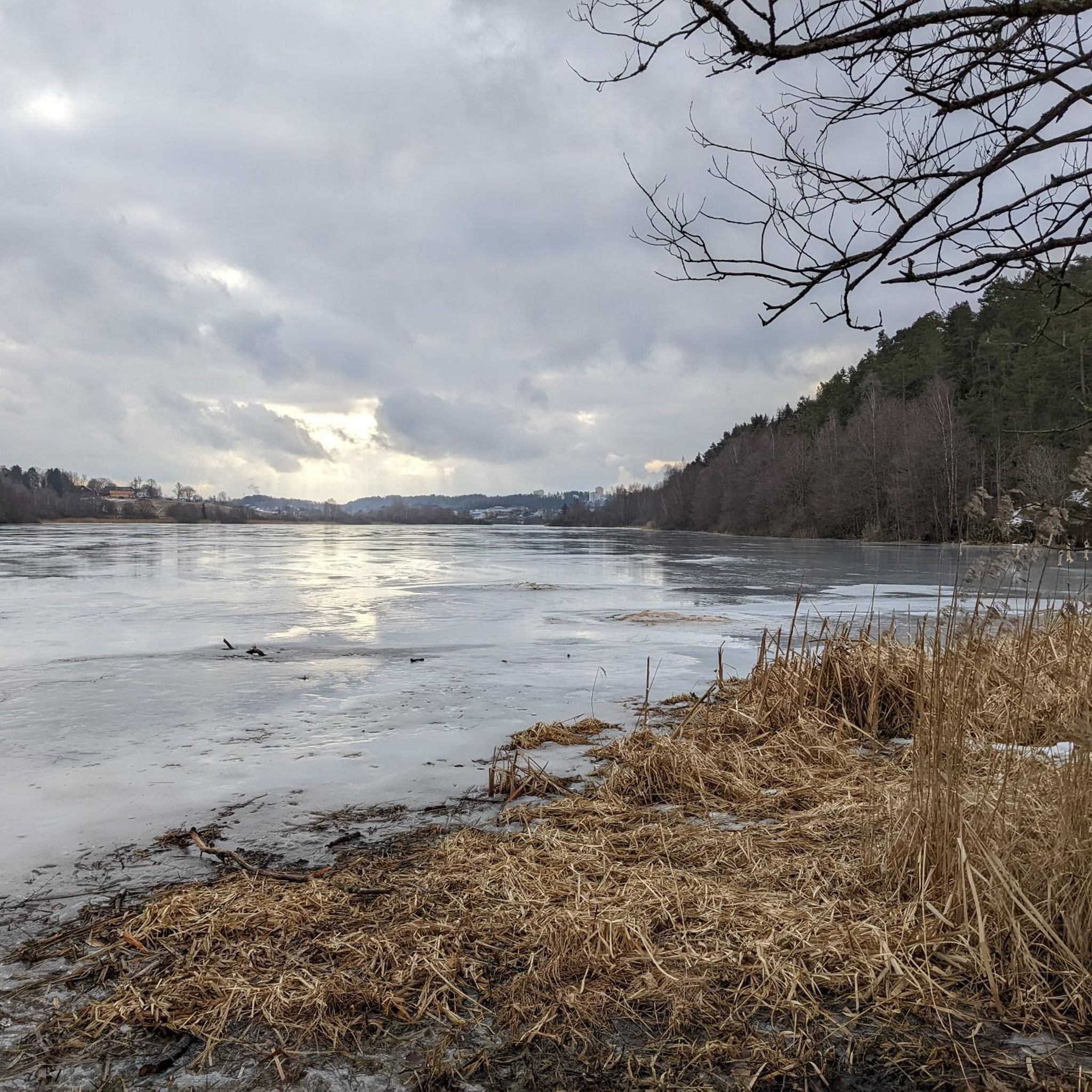
Østensjøvannet is a year-round destination, offering different experiences with each season. It's particularly enchanting in spring and early summer when migratory birds return and the surroundings are verdant. However, the well-maintained trails make it accessible even in winter, with opportunities for ice-fishing.
Are dogs allowed on the hiking trails around Østensjøvannet?
Generally, dogs are permitted on trails in Norway, but they must be kept on a leash, especially in protected areas like Østensjøvannet, which is a wildlife preserve. Always ensure your dog is under control to protect the local fauna, particularly during nesting seasons.
How can I get to the hiking trails around Østensjøvannet using public transport?
Østensjøvannet is easily accessible by public transport from Oslo city center. Various bus and tram lines serve the area, with stops conveniently located near different entry points to the lake's trail network. Check local public transport schedules for the most up-to-date information.
Is there parking available for hikers at Østensjøvannet?
Yes, there are several parking options available around the Østensjøvannet area, making it convenient for those who prefer to drive. Specific parking lots can be found near popular trailheads, though availability might vary during peak times.
Are there any longer or more challenging hikes available that connect to the Østensjøvannet area?
For those seeking more strenuous experiences, the loop trail around Østensjøvannet connects to a larger network of trails within the Oslo forests. You can extend your hike towards areas like Østmarka or Skullerud. An example is the Sarabråten Ruins – View of Nøklevann loop from Skøyenåsen, a moderate 16.6 km (10.3 miles) route that offers varied landscapes and greater elevation gain.
What do other hikers enjoy most about the trails in Østensjøvannet?
The trails in Østensjøvannet are highly rated by the komoot community, with an average score of 4.5 stars from over 1,400 reviews. Hikers often praise the area for its easily accessible natural escape, the rich biodiversity, and the well-maintained paths that offer continually changing scenery, from wetlands to forests.
Are there any cafes or places to eat near the hiking trails?
While Østensjøvannet itself is a natural reserve, there are cafes and eateries in the surrounding residential areas of Oslo, just a short walk or drive from the trailheads. These provide options for refreshments before or after your hike.
What are some interesting historical or cultural sites to see while hiking?
The area around Østensjøvannet has a rich cultural history. Finds suggest human habitation as far back as the Stone Age, with farming starting around 500 AD, and burial mounds from the Viking Age. Old farmsteads are also visible, contributing to the historical heritage of the surroundings as you hike.
Most popular routes around Østensjøvannet

Get inspired with the komoot mobile app


Explore more
Browse the best Hikes in other regions.
