The best gravel rides around Lac d'Antre
4.3
(16)
65
riders
13
rides
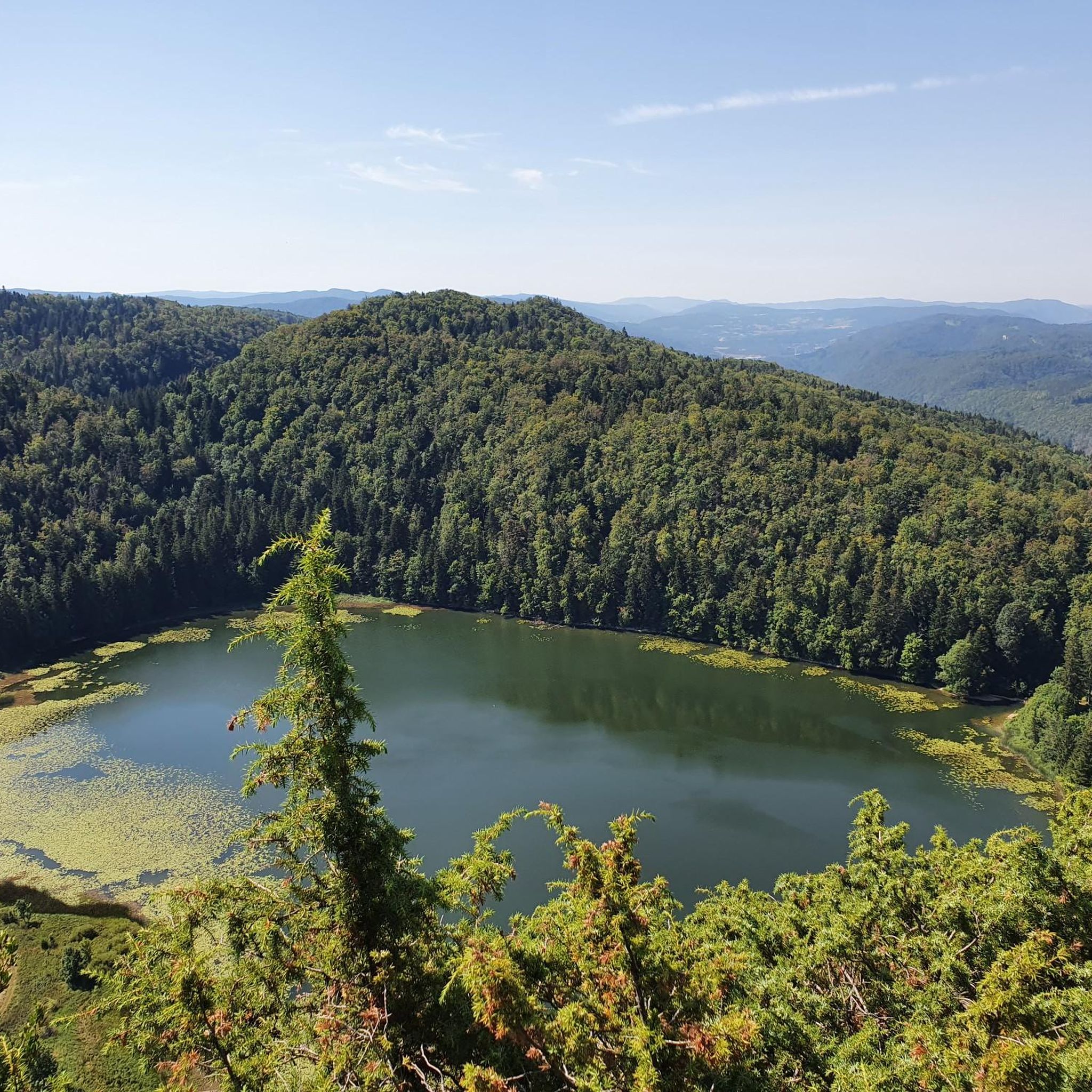
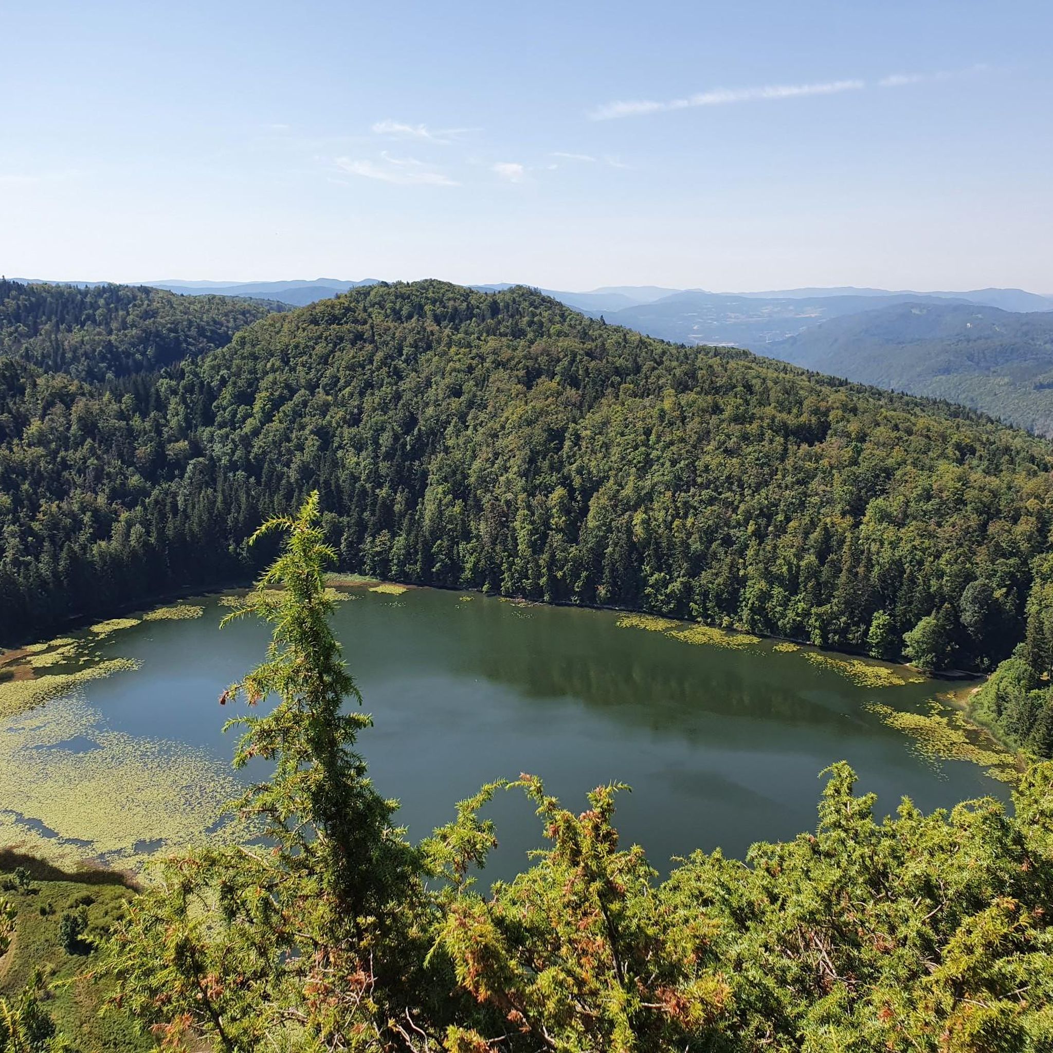
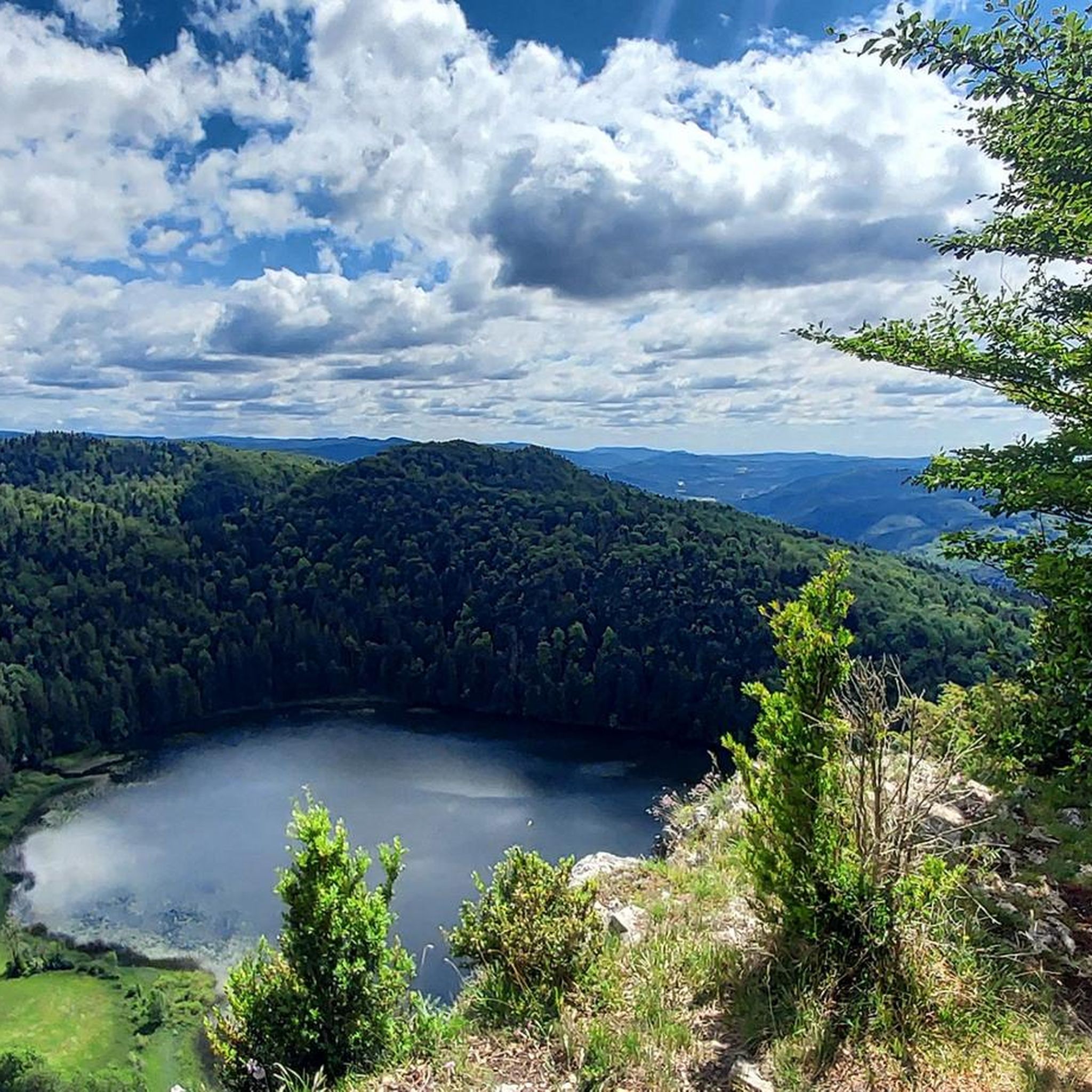
Gravel biking around Lac d'Antre offers routes through the distinctive landscapes of the Jura Mountains in France. The region features a small glacial lake situated at 800 meters altitude, surrounded by a rocky cirque and dominated by the La Roche d'Antre cliff. Riders can expect varied terrain including spruce forests, deciduous trees, and areas with unique hydrogeological features. The broader Jura region is known for its unspoilt nature and diverse surfaces suitable for gravel cycling.
Best gravel bike trails around Lac d'Antre
- The most popular gravel bike trail is Regardoir Viewpoint loop from Moirans-en-Montagne, a 15.1 miles (24.3 km) trail that takes 2 hours 14 minutes to complete. This route offers panoramic views from the Regardoir viewpoint.
- Another top favourite among local gravel bikers is View of the Ain at Pont-de-Poitte – Pyle Bridge loop from Maisod, a difficult 24.9 miles (40.2 km) path. This route features views of the Ain river and the historic Pyle Bridge.
- Local gravel bikers also love the Beautiful view of the Grand Lac – Lac de Clairvaux-les-Lacs loop from Maisod, a 28.8 miles (46.4 km) trail leading through forested areas and offering lake views, often completed in about 4 hours 17 minutes.
- Gravel biking around Lac d'Antre is defined by glacial lake scenery, dense forests, and varied terrain of the Jura Mountains. The network offers options for moderate to difficult ability levels.
- The routes in Lac d'Antre are highly rated by the komoot community with an average score of 4.2 stars from 9 reviews. More than 40 gravel bikers have used komoot to explore Lac d'Antre's varied terrain.
Last updated: July 2, 2026
4.0
(4)
8
riders
Moderate gravel ride. Good fitness required. Mostly paved surfaces. Suitable for all skill levels.
4.5
(4)
17
riders
Hard gravel ride. Very good fitness required. Mostly paved surfaces. Suitable for all skill levels.

Sign up for free
7
riders
Hard gravel ride. Very good fitness required. Mostly paved surfaces. Suitable for all skill levels.
4.0
(1)
6
riders
25.4km
01:56
350m
350m
Moderate gravel ride. Good fitness required. Mostly paved surfaces. Suitable for all skill levels.
4.5
(2)
3
riders
20.2km
01:28
360m
360m
Moderate gravel ride. Good fitness required. Mostly paved surfaces. Suitable for all skill levels.
Get access to more routes and recommendations from other explorers.
Sign up for free
Already have an account?
Our route recommendations are based on thousands of hikes, rides, and runs completed by other people on komoot.
Start today with a free account
Your next adventure awaits.
Login or Signup
Tips from the Community

The Saut de la Saisse is a waterfall in France located in the Jura massif, at the point where the Ain river flows into the Vouglans reservoir at Pont-de-Poitte and Patornay, between Lons-le-Saunier and Clairvaux-les-Lacs. A "marmite du diable", "marmite de géant" or "marmite glaciaire" in Switzerland (or simply "marmite" or "chaudron") is a more or less cylindrical natural cavity carved into the rock by ancient, generally torrential watercourses, carrying pebbles or gravel, which promotes swirling erosion (a phenomenon called "marmitage").
0
0


Unfortunately the stones are not always easy to see, today I had a lot of water.
0
0
Great view of the Ain, this is where the Lac de Vouglans begins. When the water level is high, the stones are of course not so easy to see.
0
0

The impressive panorama of the Ain River at one of its widest points. The Ain is a river full of fish where trout are caught. Many birds populate the banks of the river: ducks, egrets, swans, herons, snipes. Beavers are also present, particularly in the lower reaches (Lower Ain valley).
3
0
The Saint-Nithier church in Clairvaux-les-Lacs is a Romanesque style church with a double-decker dome bell tower dedicated to Saint Nithier. It is open every day from 10 a.m. to 6 p.m. and closed on Mondays. Masses are not very frequent, if you want to see one, it is better to consult the schedule here: https://theodia.org/fr?place=6327
1
0
Frequently Asked Questions
How many gravel bike trails are available around Lac d'Antre?
There are over a dozen gravel bike trails around Lac d'Antre, offering a mix of moderate and difficult routes through the Jura Mountains. You'll find 7 moderate and 6 difficult routes to explore.
What kind of terrain can I expect on gravel bike trails near Lac d'Antre?
Gravel biking around Lac d'Antre features varied terrain typical of the Jura Mountains. You can expect a mix of forest roads, tracks, and paths through spruce and deciduous forests, with some routes offering ascents to viewpoints. The region is known for its unspoilt nature and diverse surfaces suitable for gravel cycling.
Are there any routes that offer panoramic views or notable landmarks?
Yes, several routes provide excellent views and pass by significant landmarks. For instance, the Regardoir Viewpoint loop from Moirans-en-Montagne offers panoramic vistas. Another route, View of the Ain at Pont-de-Poitte – Pyle Bridge loop from Maisod, features views of the Ain river and the historic Pyle Bridge. You can also find routes like the Beautiful trail with belvedere – Ain Viewpoint loop from Maisod for scenic overlooks.
What is the best time of year for gravel biking in the Lac d'Antre region?
The Jura Mountains, including the Lac d'Antre area, are generally excellent for gravel biking during the warmer months when trails are clear of snow and ice. Spring and autumn offer pleasant temperatures and beautiful scenery with changing foliage, while summer provides longer daylight hours. Always check local weather conditions before heading out.
Are there any family-friendly gravel bike routes around Lac d'Antre?
While specific 'easy' routes are not highlighted, the region offers a range of moderate trails that could be suitable for families with some biking experience. The general character of the Jura, with its forest roads and paths, can provide enjoyable rides. Consider routes like La Mercantine Beach loop from Maisod for a moderate option.
What are the difficulty levels of the gravel bike trails in this area?
The gravel bike trails around Lac d'Antre are categorized as moderate to difficult. You'll find 7 moderate routes and 6 difficult routes, catering to riders looking for both enjoyable and challenging experiences. Routes can involve significant elevation changes, so be prepared for climbs.
Can I find circular gravel bike routes near Lac d'Antre?
Yes, many of the gravel bike routes in the Lac d'Antre area are designed as loops, allowing you to start and finish at the same point. Examples include the Regardoir Viewpoint loop from Moirans-en-Montagne and the Beautiful view of the Grand Lac – Lac de Clairvaux-les-Lacs loop from Maisod, which offer varied scenery and return to their starting points.
What do other gravel bikers say about the trails around Lac d'Antre?
The gravel biking routes around Lac d'Antre are highly rated by the komoot community, with an average score of 4.2 stars from 9 reviews. Riders often praise the diverse terrain, the beautiful glacial lake scenery, and the dense forests of the Jura Mountains.
Are there any lakes or water features to see on the gravel bike routes?
Yes, the region is defined by its glacial lake scenery. You can expect views of Lac d'Antre itself, and routes like the Beautiful view of the Grand Lac – Lac de Clairvaux-les-Lacs loop from Maisod will lead you through forested areas offering lake views. The unique hydrogeological system where the lake's waters resurface as the Héria river is also a notable natural feature of the area.
What are some of the longer gravel biking options in the area?
For a longer ride, consider the Beautiful view of the Grand Lac – Lac de Clairvaux-les-Lacs loop from Maisod, which is a difficult 46.4 km trail. Another challenging option is the View of the Ain at Pont-de-Poitte – Pyle Bridge loop from Maisod, covering 40.2 km.
Is there a specific route for bikepacking in the Jura Mountains?
While not directly around Lac d'Antre, the broader Jura Mountains are popular for bikepacking. The Grande Traversée du Jura (GTJ) trail has a 384 km variant specifically designed for gravel bikes, incorporating tracks and forest lanes, and offering diverse scenery across valleys, mountains, plateaus, lakes, and forests. This highlights the region's suitability for longer gravel adventures.
Most popular routes around Lac d'Antre

Get inspired with the komoot mobile app


Explore more
Browse the best Gravel rides in other regions.
