The best road cycling routes around Lac d'Antre
4.6
(112)
2,935
riders
90
rides
Road cycling around Lac d'Antre is characterized by its setting within the Jura Mountains, featuring a small glacial lake at 800 meters altitude. The region includes a rocky cirque, dense spruce forests, and the imposing Roche d'Antre cliff, which rises to 960 meters. Cyclists encounter varied topography, including ascents and descents through the Héria river valley, providing challenging terrain. This mountainous backdrop offers numerous roads with elevation changes and panoramic views.
Best road cycling routes around Lac d'Antre
- The most…
Last updated: July 11, 2026
9
riders
59.6km
02:50
780m
780m
Moderate road ride. Good fitness required. Mostly well-paved surfaces and easy to ride.
5.0
(1)
42
riders
161km
08:28
2,570m
2,570m
Hard road ride. Very good fitness required. Some segments of this route may be unpaved and difficult to ride.

Sign up for free
24
riders
164km
08:59
3,000m
3,000m
Hard road ride. Very good fitness required. Some segments of this route may be unpaved and difficult to ride.
44
riders
71.4km
03:29
1,050m
1,050m
Hard road ride. Very good fitness required. Mostly well-paved surfaces and easy to ride.
24
riders
95.9km
05:23
2,060m
2,060m
Hard road ride. Very good fitness required. Mostly well-paved surfaces and easy to ride.
Get access to more routes and recommendations from other explorers.
Sign up for free
Already have an account?
Our route recommendations are based on thousands of hikes, rides, and runs completed by other people on komoot.
Start today with a free account
Your next adventure awaits.
Login or Signup

Tips from the Community

The bridge separates two departments, the Jura and the Ain. "Iron bridge. For several centuries, the Ain was crossed at Thoirette by means of a ferry, known as the bac de Christouphe, the name of the commune where the passenger resided. From 1808 to 1811, the riparian communes clubbed together to build a bridge in place of this ferry. The project had been drawn up by Mr. Cordier, of Orgelet, an engineer then in charge of the direction of the Simplon road works. Various obstacles opposed the execution of this work. It was only in 1829 that an iron bridge was built, which collapsed in 1843. The department of Ain has just replaced it with an iron bridge currently open to traffic". Statistique de la France - 1855 - Ministère de l'Agriculture par Imprimerie Impériale à Paris - p53.
0
0
Lavoir de Maisod and Chapel of Saint-Etienne
0
0
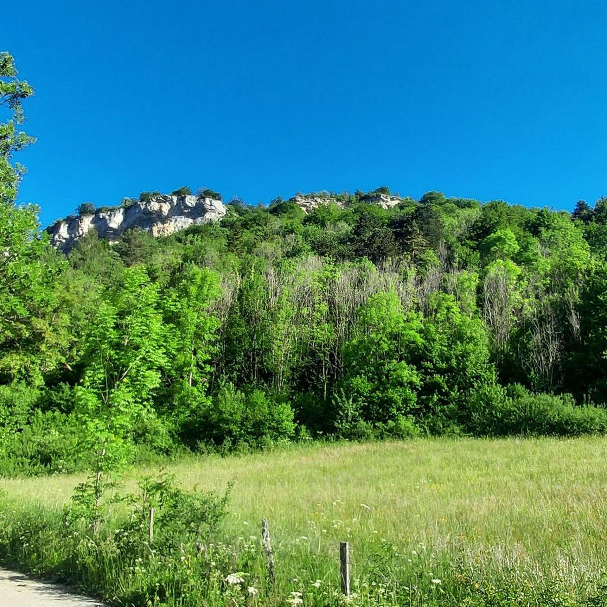
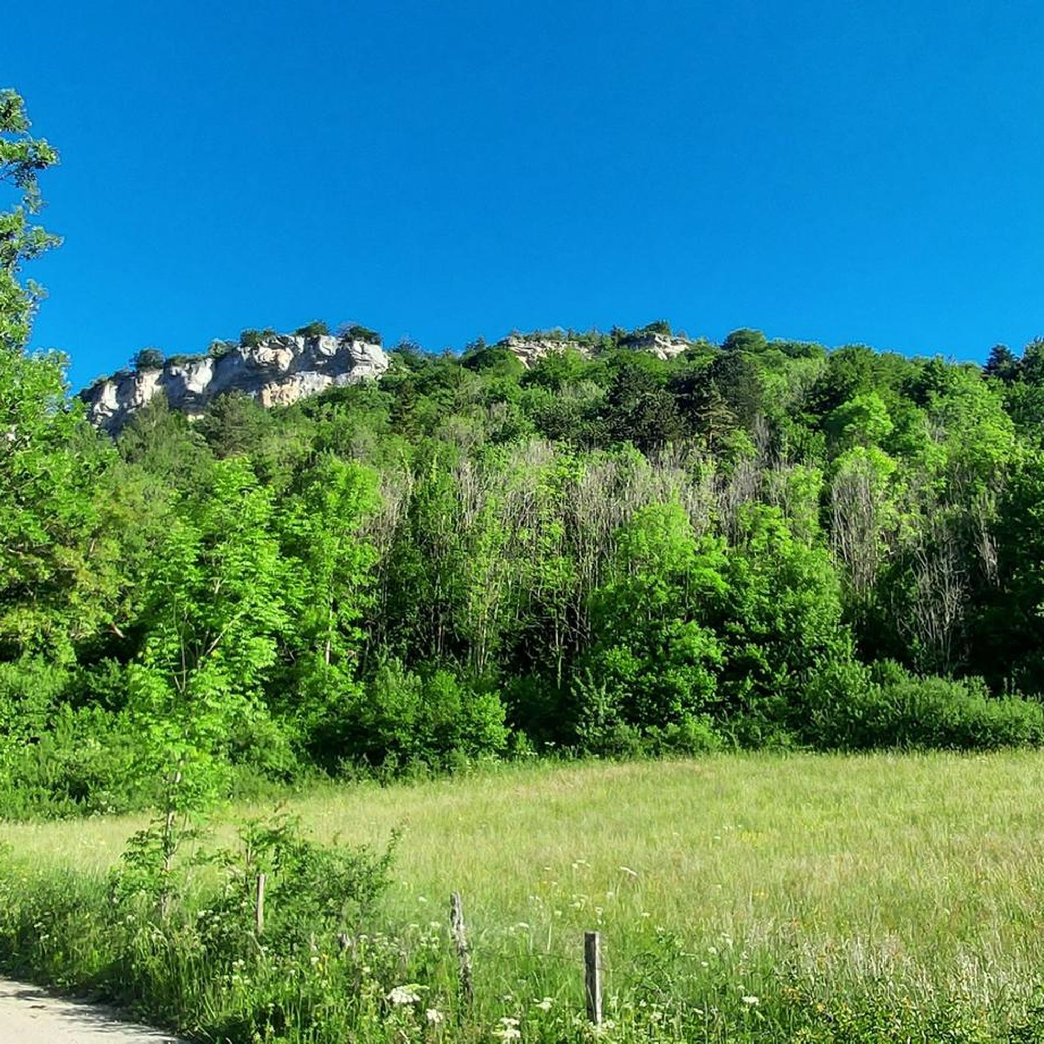
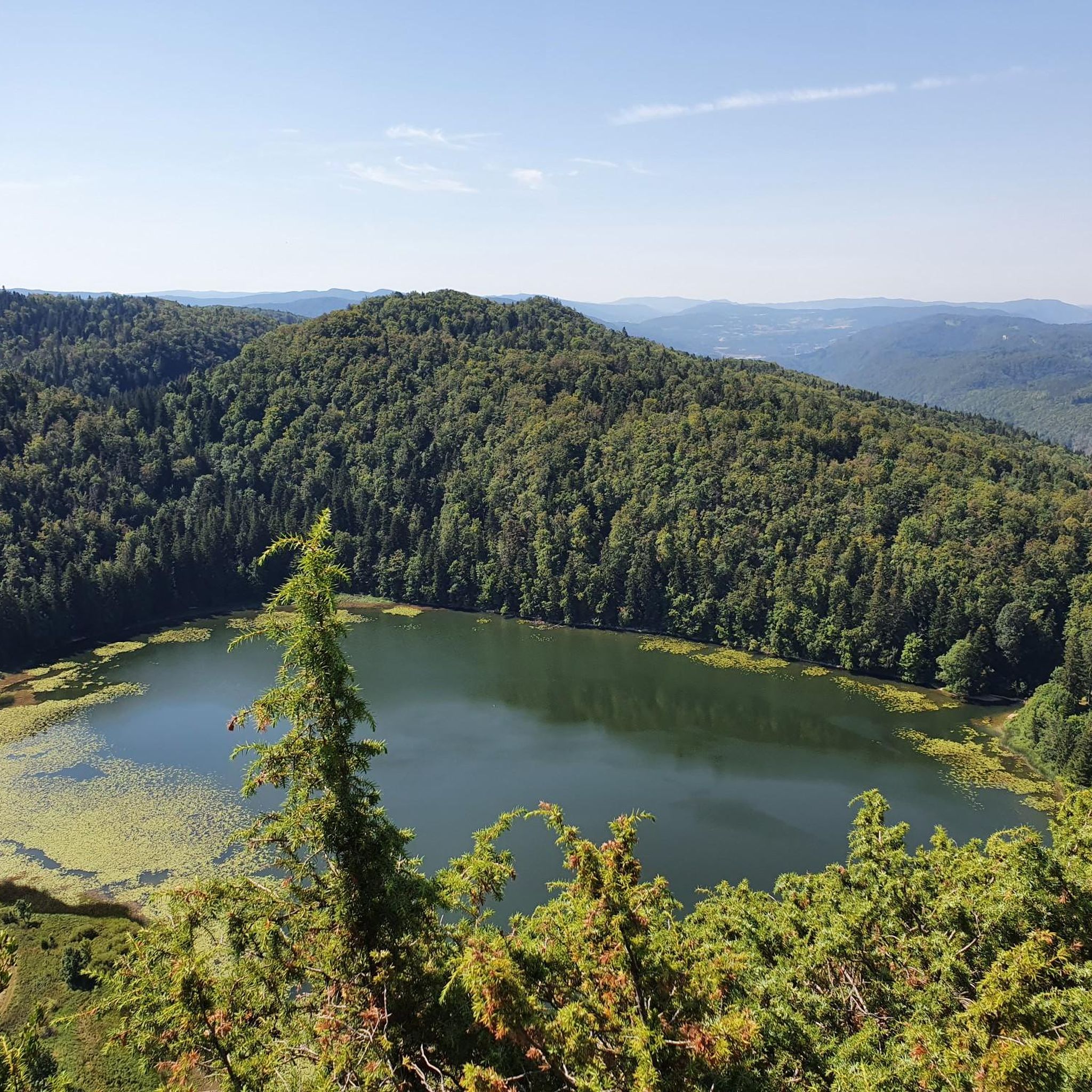
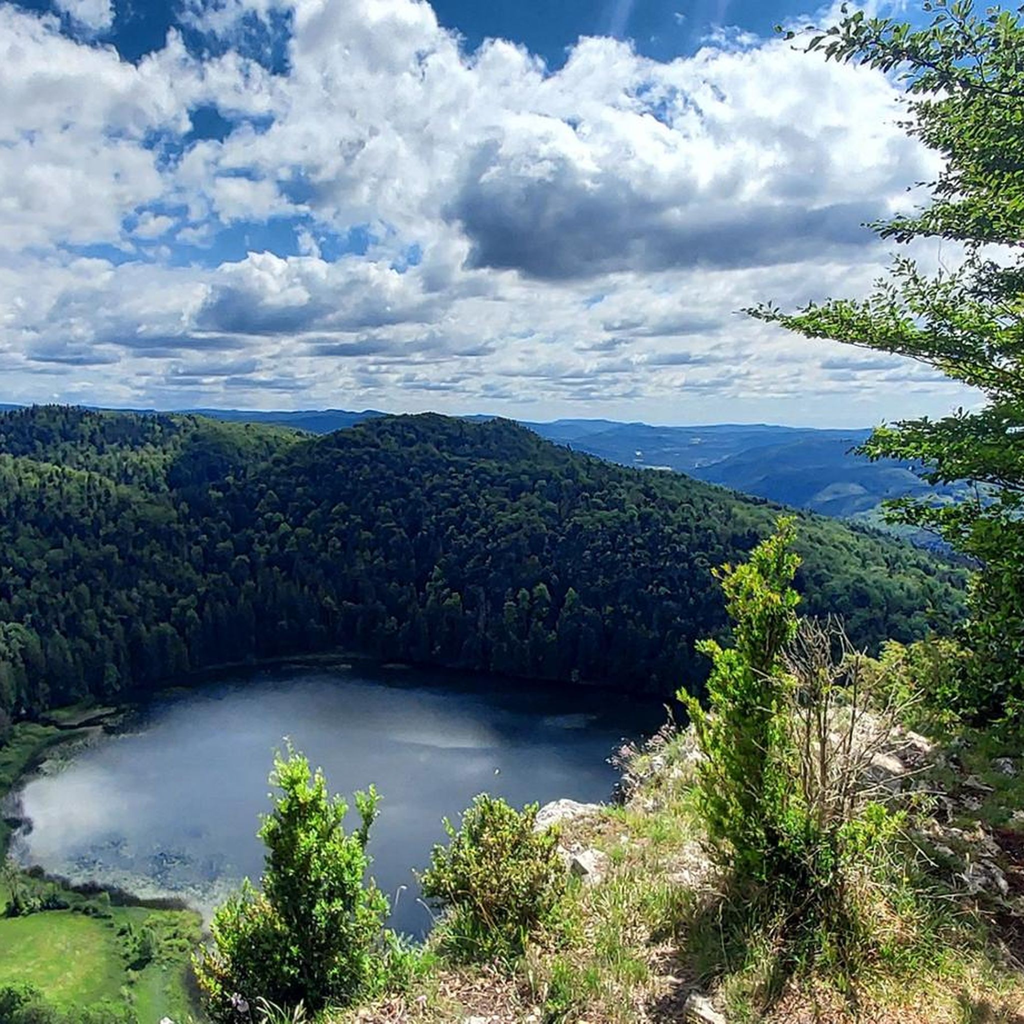
Viewpoint with a picnic table in the shade and a nice view of the lake.
0
0
This fountain was renovated in 2004 by a craftsman from Orgelet, Elias Rodriguez. Now, the water falls into the round basin from a basin adorned with four sculptures: a woman's hand, a man's hand, an oak leaf, and a cascade. "The whole, made of blue marble from Savoy, is very effective and deserves a stop" This fountain was originally located on rue Royale, near a chapel. The location considerably hindered traffic on this narrow street. In 1742, a notarial act indicates that the inhabitants of the village decide to replace the old wooden fountain with a cut stone construction. In an act dated 1770, it is decided to rebuild the fountain, at the current location, a place less detrimental to traffic and more convenient. https://www.leprogres.fr/edition-jura-sud/2020/02/29/la-tour-du-meix-la-fontaine-a-double-vasque https://actu.fr/bourgogne-franche-comte/lons-le-saunier_39300/la-tour-du-meix-la-fontaine-fait-peau-neuve_14136706.html
0
0


Climbed it today (17-8-25); it's open, and there are signs along the road showing your progress. Traffic is quiet, and a beautiful green climb, especially further on.
0
0

Frequently Asked Questions
What kind of terrain can I expect when road cycling around Lac d'Antre?
Road cycling around Lac d'Antre, nestled in the Jura Mountains, offers a varied and often challenging terrain. You'll encounter significant elevation changes, including ascents and descents through the Héria river valley, and roads leading up to viewpoints like La Roche d'Antre. The region is characterized by its mountainous backdrop, glacial lakes, rocky cirques, and dense spruce forests, providing both challenging climbs and scenic stretches.
Are there road cycling routes suitable for beginners or those seeking an easier ride?
Yes, while the region is known for its challenging terrain, there are options for various ability levels. The komoot guide lists 78 road cycling tours in total, with 2 routes specifically rated as easy and 34 as moderate. This ensures that cyclists of different experience levels can find suitable paths to explore the area.
What are the typical distances and elevations for road cycling routes in this area?
The routes around Lac d'Antre vary significantly. For instance, a challenging route like the View of Lake Vouglans – Thoirette on the Ain River loop from Villards-d'Héria covers nearly 160 km with over 2,500 meters of elevation gain. A more moderate option, such as the Lect Climb – Lect Climb loop from Moirans-en-Montagne, is around 40 km with about 650 meters of ascent. You'll find a range of distances and elevations to match your fitness and time availability.
What natural features and viewpoints can I expect to see along the road cycling routes?
The region is rich in natural beauty. You'll cycle past the serene Lac d'Antre itself, surrounded by dense spruce forests. The imposing La Roche d'Antre cliff offers exceptional views over the lake and the surrounding Jura Mountains from its lookout point. Many routes also provide panoramic views of other glacial lakes like Lac de Vouglans and the picturesque Héria river valley.
What do other road cyclists say about their experience in Lac d'Antre?
The road cycling routes around Lac d'Antre are highly rated by the komoot community, with an average score of 4.6 stars from over 70 reviews. Cyclists often praise the varied terrain, the stunning natural landscapes, and the rewarding panoramic views, especially those overlooking the lakes and valleys of the Jura Mountains.
Are there any circular road cycling routes available?
Yes, many of the routes in the area are designed as loops, allowing you to start and finish in the same location. Examples include the challenging Vouglans Dam – View of Lac de Vouglans loop from Villards-d'Héria and the Crozatons Pass – Lect Climb loop from Villards-d'Héria. These circular routes are ideal for exploring the diverse landscapes without retracing your path.
What is the best time of year for road cycling around Lac d'Antre?
Given its location in the Jura Mountains at an altitude of 800 meters, the best time for road cycling is typically from late spring through early autumn. During these months, the weather is generally more stable, and the temperatures are pleasant for cycling. Summer offers lush green landscapes, while autumn provides vibrant foliage, making both seasons highly scenic. Always check local weather conditions before heading out.
Are there any historical sites or cultural points of interest near the cycling routes?
Yes, the area around Lac d'Antre has historical significance. There is evidence of Roman occupation and remains of temples near the lake, likely due to its unique hydrogeological features. While not directly on every cycling route, these historical elements add a cultural dimension to the region's natural beauty and can be explored as part of your visit.
Where can I find parking for road cycling routes around Lac d'Antre?
Many routes, particularly those starting from villages like Villards-d'Héria or Moirans-en-Montagne, will have designated parking areas. It's advisable to check the specific route details on komoot for recommended starting points and parking information, as options can vary depending on the exact location of your chosen route.
Are there any family-friendly road cycling options around Lac d'Antre?
While many routes in the Jura Mountains are challenging, there are easier and moderate options available. For families, it's best to look for routes specifically rated as 'easy' or 'moderate' with less elevation gain and shorter distances. These might be found on quieter roads or sections away from the main mountain passes, offering a more relaxed experience for all ages.
What is the total number of road cycling routes available in the Lac d'Antre region?
There are over 70 road cycling routes available for exploration in the Lac d'Antre region. This extensive network provides a wide variety of options, from shorter, less strenuous rides to demanding, long-distance tours with significant elevation.
Most popular routes around Lac d'Antre

Get inspired with the komoot mobile app


Explore more
Browse the best Road cycling routes in other regions.
