The best gravel rides around Alta Garrotxa-Massís de les Salines
4.7
(68)
1,566
riders
139
rides
Gravel biking around Alta Garrotxa-Massís de les Salines offers a diverse landscape characterized by rugged terrain, deep gorges, and dense forests. The region features distinctive karst topography with jagged peaks, deep valleys, cliffs, and rock walls, resulting from limestone erosion. Elevations vary significantly, with terrain transitioning to steeper mountain slopes towards the western edge. This environment provides a challenging yet rewarding experience for gravel cyclists.
Best gravel bike trails around Alta Garrotxa-Massís de les Salines
- The most popular gravel bike…
Last updated: July 16, 2026
63.5km
07:00
1,720m
1,720m
Hard gravel ride. Very good fitness required. Some segments of this route may be unpaved and difficult to ride.
4.5
(2)
64
riders
51.5km
03:44
1,300m
1,300m
Hard gravel ride. Very good fitness required. Mostly paved surfaces. Suitable for all skill levels.

Sign up for free
20
riders
91.7km
06:01
1,240m
1,240m
Hard gravel ride. Very good fitness required. Mostly paved surfaces. Suitable for all skill levels.
4.3
(3)
20
riders
Hard gravel ride. Very good fitness required. Mostly paved surfaces. Suitable for all skill levels.
5.0
(1)
27
riders
Hard gravel ride. Very good fitness required. Mostly paved surfaces. Suitable for all skill levels.
Get access to more routes and recommendations from other explorers.
Sign up for free
Already have an account?
Our route recommendations are based on thousands of hikes, rides, and runs completed by other people on komoot.
Start today with a free account
Your next adventure awaits.
Login or Signup
Popular around Alta Garrotxa-Massís de les Salines
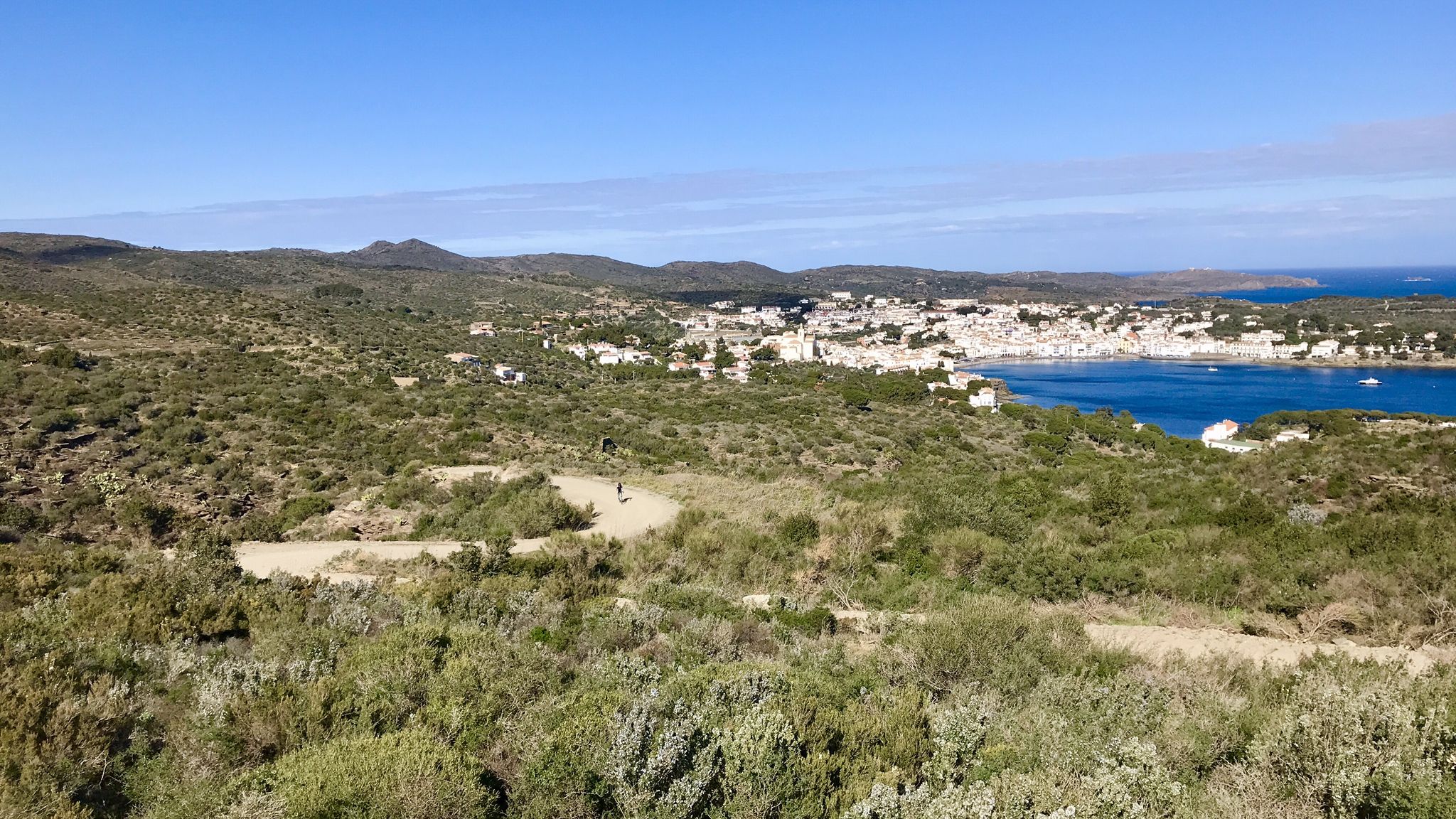
Garrotxa, Olot and Cap de Creus – gravel paradise in Spain

Catalonia and Andorra on the Pyrenean Trail – GR 11
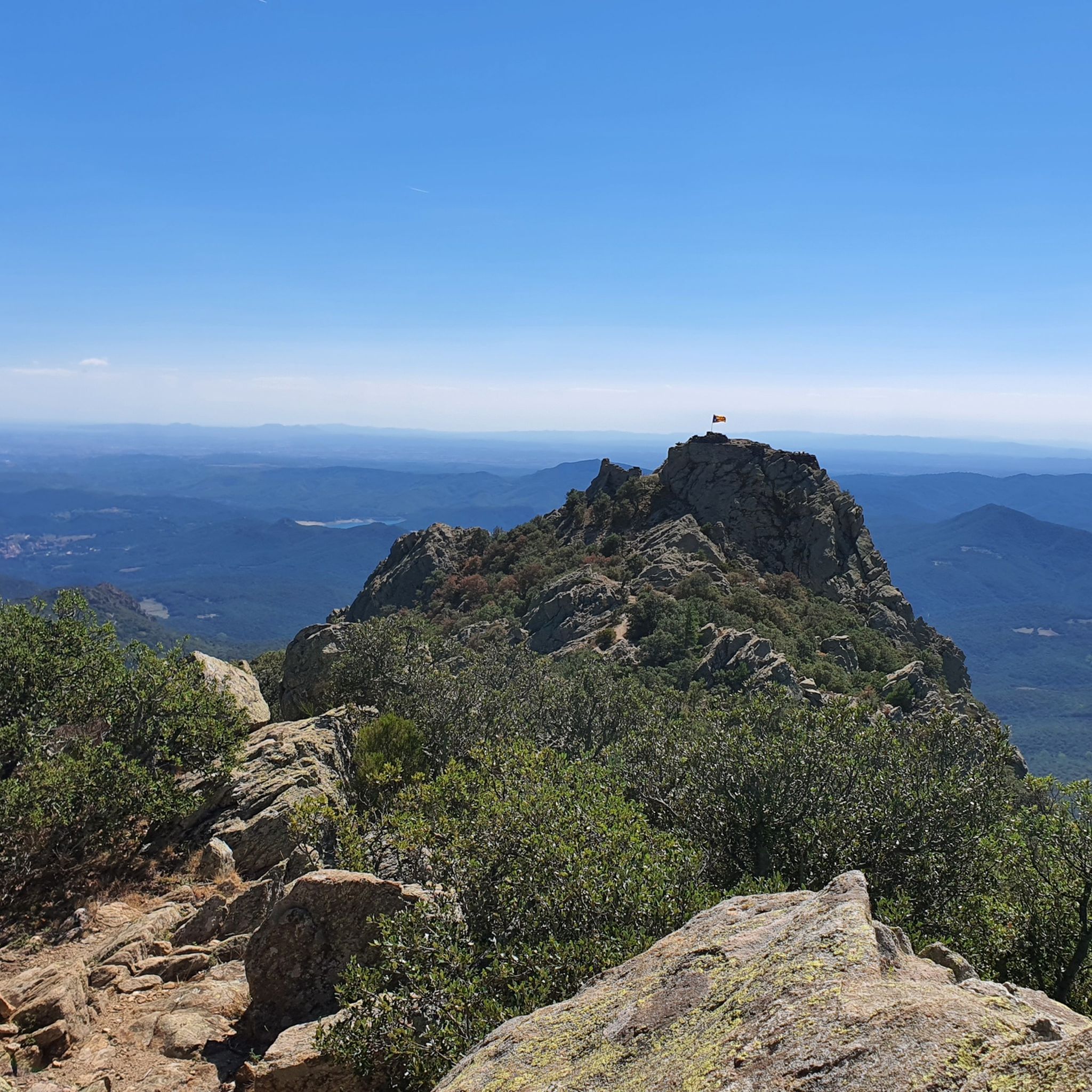
MTB Trails around Alta Garrotxa-Massís de les Salines
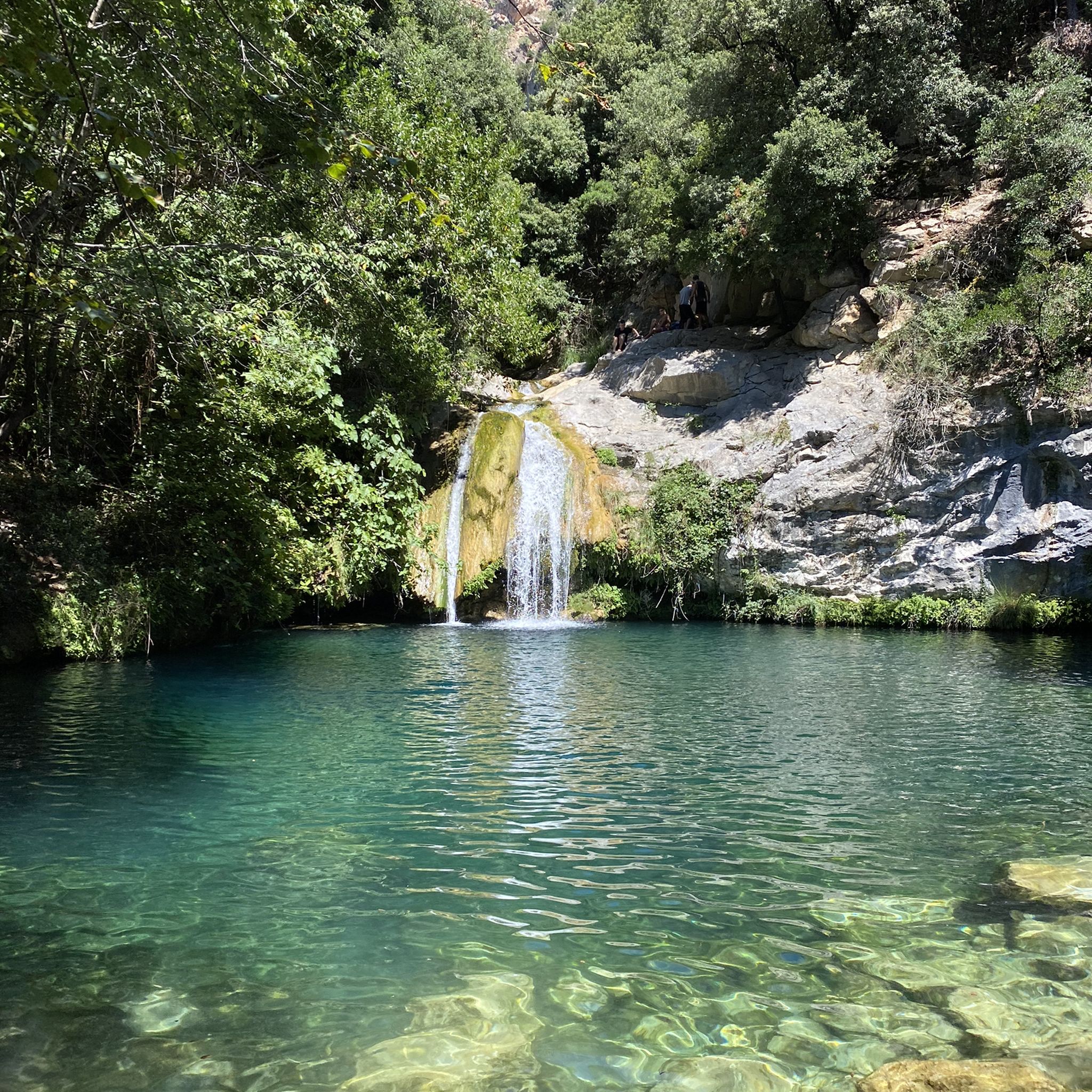
Hiking around Alta Garrotxa-Massís de les Salines
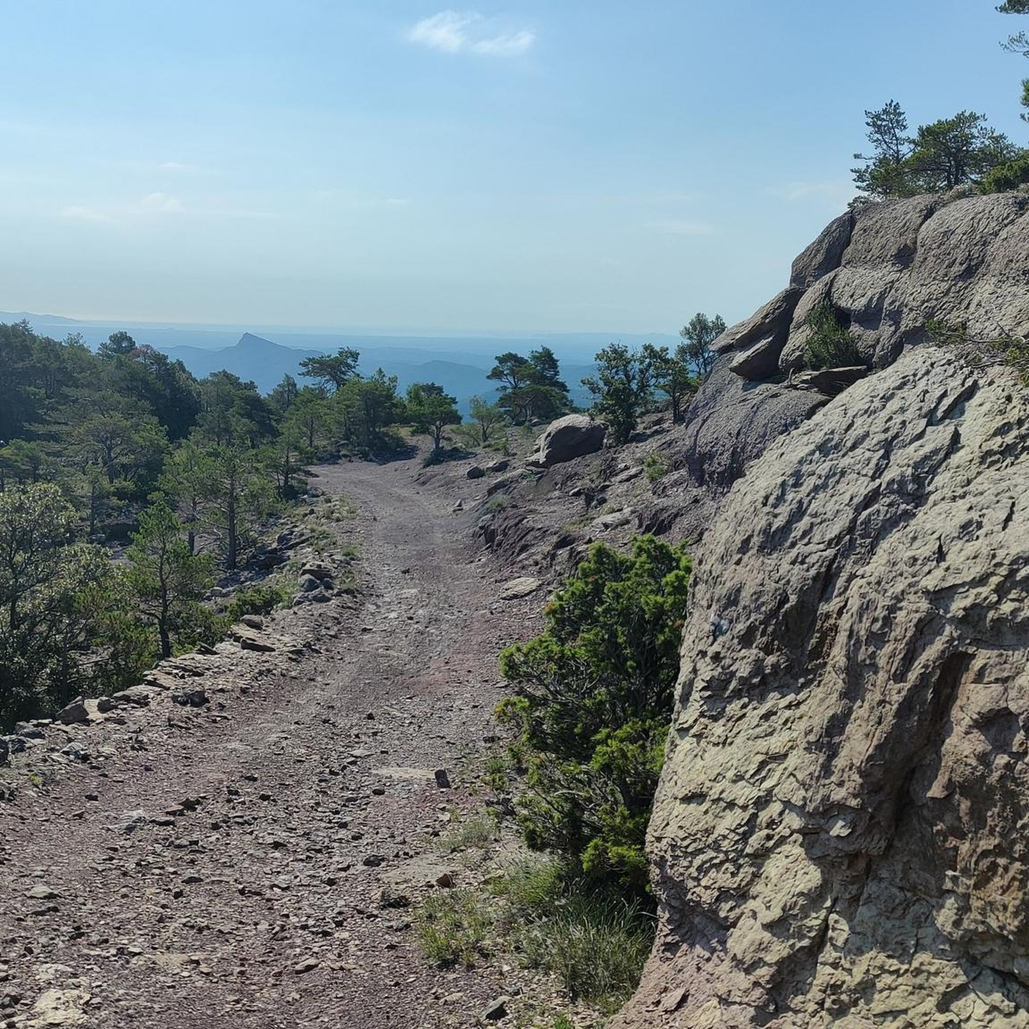
Cycling around Alta Garrotxa-Massís de les Salines
Road Cycling Routes around Alta Garrotxa-Massís de les Salines
Running Trails around Alta Garrotxa-Massís de les Salines

Mountain Hikes around Alta Garrotxa-Massís de les Salines
Other adventures around Alta Garrotxa-Massís de les Salines


Tips from the Community

In other places, a road leads right through the village….
0
0
View of the impressive bridge.
0
0

Interessant recinte històric que s’alça al voltant del castell —d’estructura quadrada i construït als segles xiii-xiv— i la plaça Major, amb personalitat medieval. Per a més informació: https://costabrava.org/on-anar/comarques/garrotxa/santa-pau/
0
0

Small cut through a volcano. You can clearly see the masses of rock that have been moved.
1
0

The monastery of Sant Pere was founded in 977 by Bishop-Count Miró I and consecrated in 1003 by Count Bernhard I, also known as Taillefer. A Benedictine community of twelve monks lived there. However, with Count Taillefer's death in 1020, the decline of the count's rule began, culminating in its final demise in 1111. From then on, the abbot of the monastery became the highest authority over the population, which gave the Church considerable political influence in the 12th and 13th centuries.
5
0

This village had great historical significance: in the Middle Ages, its castle was key in the Remensa Wars and in the control of the region, passing through the hands of various noble families. The manor remained until the mid-19th century, when it disappeared with the state expropriation of 1854.
0
0

It is a way to cross the river without going through the old road (national 270) to Olot. Despite having rained yesterday the passage is easy, some stones allow you to cross on foot.
0
0
Frequently Asked Questions
How challenging are the gravel bike trails in Alta Garrotxa-Massís de les Salines?
The region offers a wide range of difficulties. While there are a few easy routes, the majority of the 139 gravel bike trails are considered moderate to difficult. For instance, the Gravel tour of the high Garrotxa from Albanyà is a difficult 63.5 km route with significant climbs.
Are there any beginner-friendly gravel bike trails in Alta Garrotxa-Massís de les Salines?
Yes, while many routes are challenging, there are a few options suitable for beginners. Out of the 139 available routes, 3 are classified as easy. These typically feature less elevation gain and shorter distances, providing a good introduction to gravel biking in the region.
What are some challenging gravel bike routes for experienced riders?
Experienced riders will find plenty of demanding routes. Over 100 trails are rated as difficult. A notable example is the Castellfollit de la Roca – Can Jordà Farmhouse loop from l'Hostalnou de Bianya, a difficult 70.1 km path navigating varied terrain including forest sections and open landscapes.
When is the best time of year to go gravel biking in Alta Garrotxa-Massís de les Salines?
The region's rugged terrain and significant elevation changes mean that spring and autumn generally offer the most pleasant conditions for gravel biking, with milder temperatures. Summers can be hot, especially in exposed areas, while winters might bring colder temperatures and potentially snow at higher elevations in the Massís de les Salines.
Are there notable viewpoints or scenic spots along the gravel bike routes?
Absolutely. The region is rich in natural beauty and historical sites. You can find stunning views from peaks like Mare de Déu del Mont Summit or Puig de Bassegoda. Many routes also pass by historical landmarks such as Panissars Ruins or Bac Grillera Castle.
Can I find family-friendly gravel biking options in Alta Garrotxa-Massís de les Salines?
While the region is known for its challenging terrain, there are a few easier routes that could be suitable for families with some biking experience. Look for the 3 routes classified as 'easy' in the guide, which will have less demanding climbs and shorter distances.
Are there circular gravel bike routes available?
Yes, many of the gravel bike routes in Alta Garrotxa-Massís de les Salines are designed as loops, allowing you to start and end at the same point. An example is the Castellfollit de la Roca – Castellfollit de la Roca loop from Castellfollit de la Roca, which explores the volcanic landscape.
What do other gravel bikers enjoy the most about gravel biking in Alta Garrotxa-Massís de les Salines?
The area is highly rated by the komoot community, with an average score of 4.7 stars from over 50 reviews. Reviewers often praise the diverse landscape, from rugged terrain and deep gorges to dense forests, and the challenging yet rewarding experience on varied surfaces.
Are there any historical sites or castles to explore along the gravel routes?
Yes, the region is dotted with historical points of interest. You can cycle past ancient structures like Cabrera Castle or the Castell de Rocabruna, offering a glimpse into the area's rich past amidst your ride.
Where can I find parking for gravel biking in Alta Garrotxa-Massís de les Salines?
Many routes start from towns or villages that offer public parking facilities. For example, routes like the Gravel tour of the high Garrotxa from Albanyà typically begin in accessible locations where parking is available, though it's always advisable to check specific starting points for detailed parking information.
Are there any routes that offer a mix of terrain, including river valleys?
Yes, the region's gravel biking is defined by rugged mountain passes, river valleys, and dense woodlands. The Llierca Bridge – Entrance to the Sadernes congost loop from El Serrat del Pont is an example of a route that takes you through varied landscapes, likely including river sections.
Most popular routes around Alta Garrotxa-Massís de les Salines
Most popular attractions around Alta Garrotxa-Massís de les Salines

Get inspired with the komoot mobile app


Explore more
Browse the best Gravel rides in other regions.
