The best walks and hikes around Alta Garrotxa-Massís de les Salines
4.4
(4021)
24,477
hikers
77
hikes
Hiking trails around Alta Garrotxa-Massís de les Salines traverse a landscape characterized by rugged foothills, deep valleys, and impressive limestone peaks, showcasing distinct karst topography. Elevations range up to 1,557 meters (5,108 ft) at Comanegra, offering panoramic views. The region features dense forests of Scots pine, beech, oak, and holm oak, alongside prominent rivers like the Llierca. This diverse terrain provides varied hiking experiences.
Best hiking trails around Alta Garrotxa-Massís de les Salines
- The most popular hiking route is Gorges…
Last updated: July 7, 2026
4.8
(31)
91
hikers
7.05km
01:55
100m
100m
Easy hike. Great for any fitness level. Easily-accessible paths. Suitable for all skill levels.
4.6
(9)
50
hikers
20.3km
07:17
1,150m
1,150m
Hard hike. Very good fitness required. Sure-footedness, sturdy shoes and alpine experience required.

Sign up for free
4.7
(11)
111
hikers
9.42km
02:58
190m
190m
Moderate hike. Good fitness required. Mostly accessible paths. Sure-footedness required.
4.0
(12)
61
hikers
9.51km
02:50
280m
280m
Moderate hike. Good fitness required. Easily-accessible paths. Suitable for all skill levels.
5.0
(3)
61
hikers
19.7km
07:41
1,120m
1,120m
Hard hike. Very good fitness required. Sure-footedness, sturdy shoes and alpine experience required.
Get access to more routes and recommendations from other explorers.
Sign up for free
Already have an account?
Our route recommendations are based on thousands of hikes, rides, and runs completed by other people on komoot.
Start today with a free account
Your next adventure awaits.
Login or Signup
Popular around Alta Garrotxa-Massís de les Salines

Catalonia and Andorra on the Pyrenean Trail – GR 11
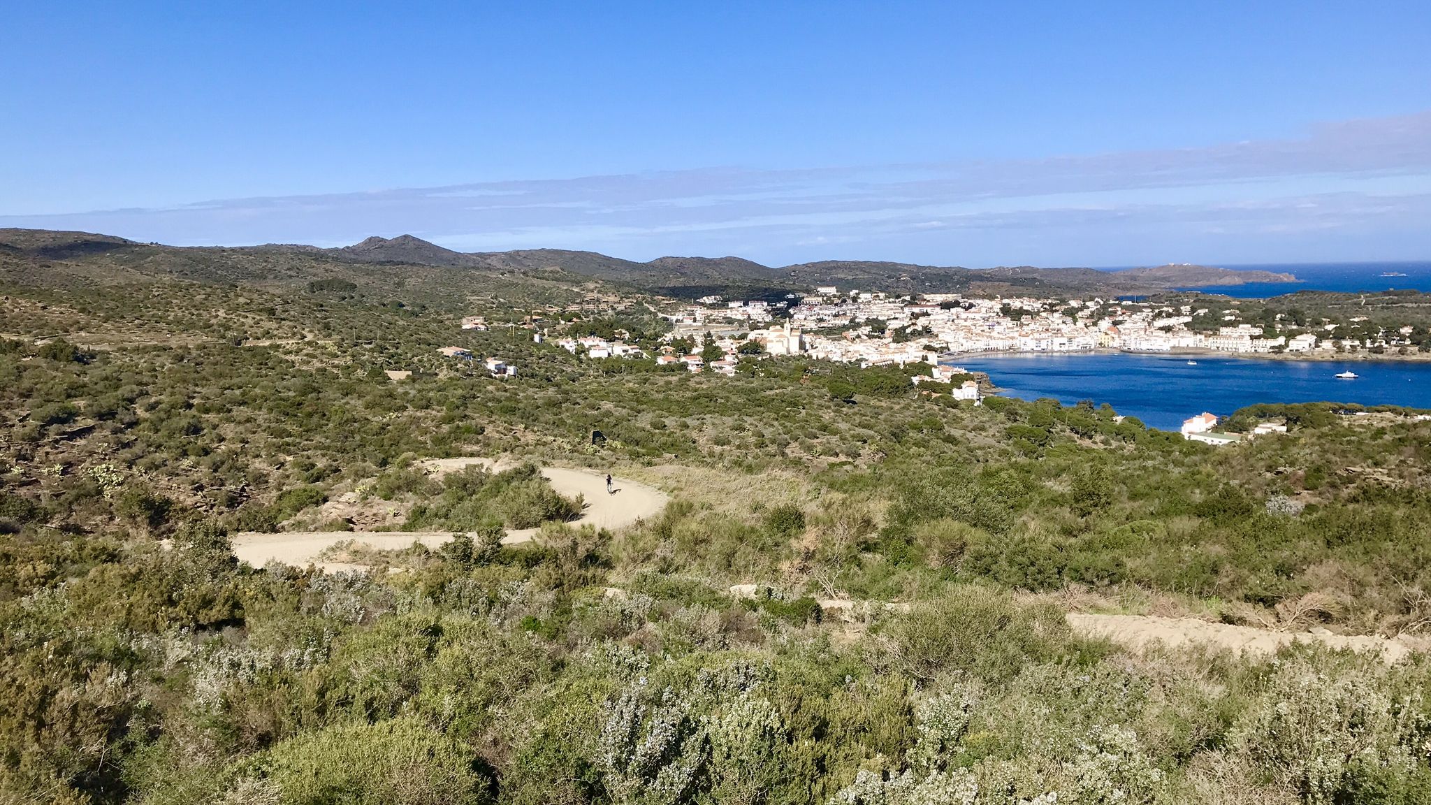
Garrotxa, Olot and Cap de Creus – gravel paradise in Spain
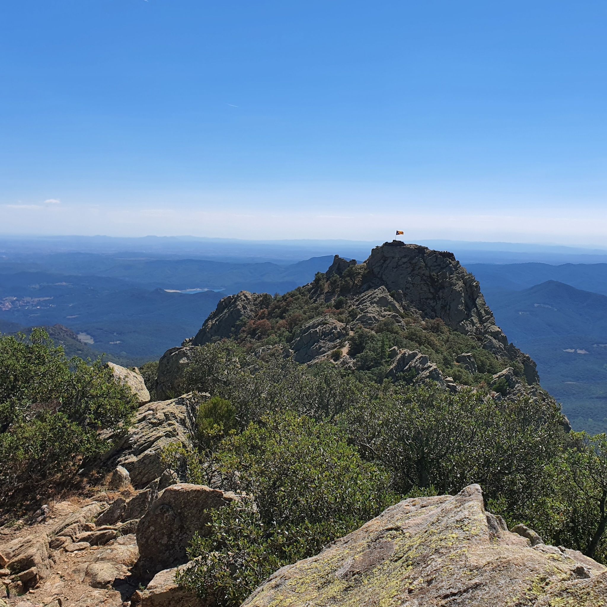
MTB Trails around Alta Garrotxa-Massís de les Salines
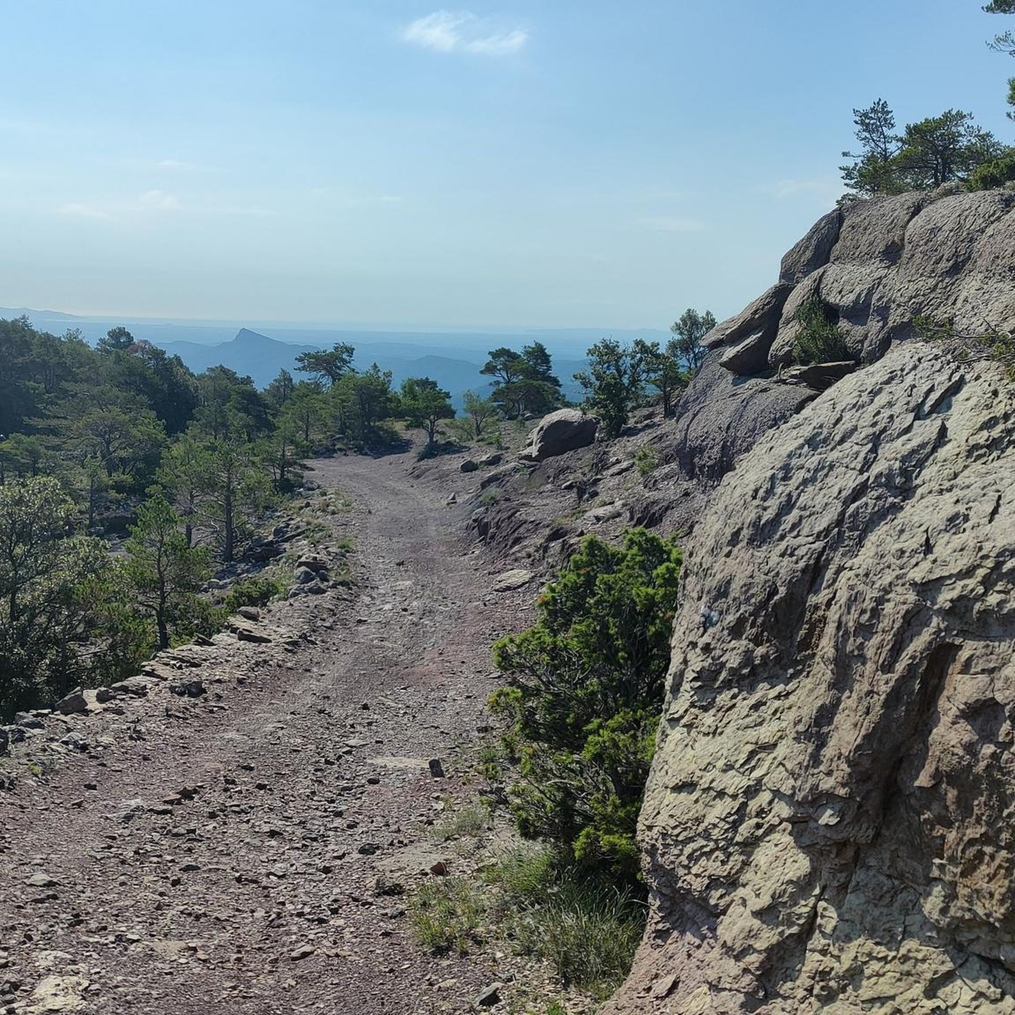
Cycling around Alta Garrotxa-Massís de les Salines
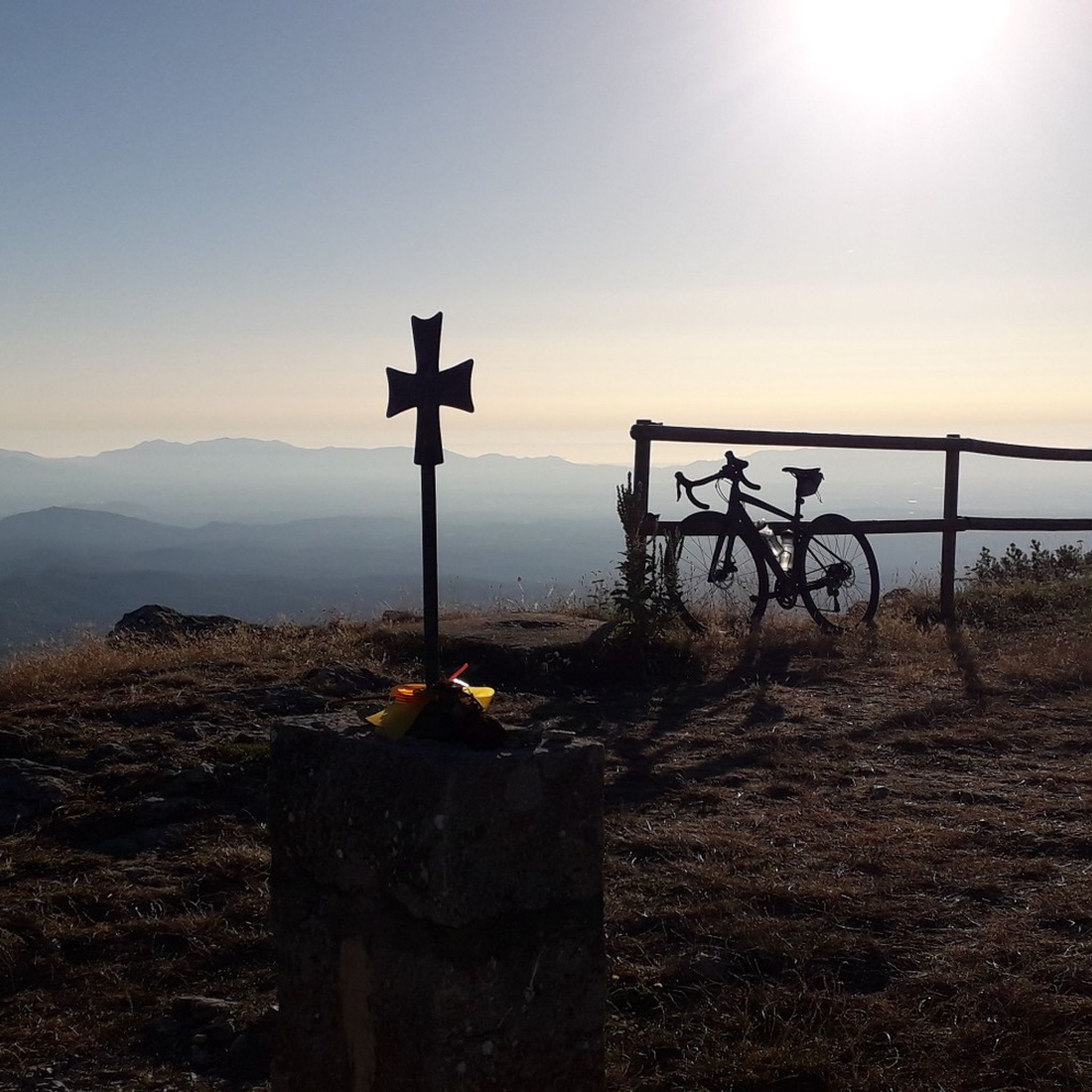
Road Cycling Routes around Alta Garrotxa-Massís de les Salines
Running Trails around Alta Garrotxa-Massís de les Salines

Gravel biking around Alta Garrotxa-Massís de les Salines

Mountain Hikes around Alta Garrotxa-Massís de les Salines
Other adventures around Alta Garrotxa-Massís de les Salines


Tips from the Community

Hello, I wanted to save money for a new silicone basting brush because my old brush lost bristles in the sauce. After weeks of losses on the usual sites, I took a big gamble at https://ivy-bets.com.de/ when my balance was almost zero. A wild feature with a sudden multiplier brought me an amount that was more than enough for two silicone brushes, a marinating container, and even a bowl. For players from Germany, the verification here went pleasantly quickly.
0
2

It is a haven where you will be treated well and eat very well.
0
0

You can't just drive to Sadernes and park at the moment. You need a QR code to reserve a parking space. You can download this in advance via a website or at a checkpoint on one of the access roads. The cost was 6 euros. The best thing is to do it in advance, because the first time we came in the weekend everything was already occupied and we had to go back.
1
0

Fantastic gorges that today have enough water to immerse yourself in with your whole body. Today I was the only one who swam in them, but it was a "tasty" after almost 50 km and 1400 meters of elevation gain.
1
0

Nice place to rest for a while.
0
0

plouffffff
0
0

Beautiful place. In construction next door to open a new Shelter (attended). There is a source.
0
1
Frequently Asked Questions
How many hiking trails are available in Alta Garrotxa-Massís de les Salines?
There are over 80 hiking trails in Alta Garrotxa-Massís de les Salines, offering a wide range of experiences from easy riverside walks to challenging mountain ascents. The komoot community has explored these routes over 8,000 times.
What kind of terrain and landscapes can I expect on hikes in Alta Garrotxa-Massís de les Salines?
The region is characterized by rugged foothills, deep valleys, and impressive limestone peaks, showcasing distinct karst topography. You'll find dense forests of Scots pine, beech, oak, and holm oak, alongside prominent rivers like the Llierca. Panoramic views stretching to the ocean and southern France are common from higher elevations.
Are there any family-friendly hiking options in Alta Garrotxa-Massís de les Salines?
Yes, there are several easy routes suitable for families. For instance, the Gorges of the Muga Trail is an easy 7 km path that follows the Muga River through scenic gorges, perfect for a leisurely outing. The region's diverse trails include 13 easy routes, many of which are suitable for families.
What are some notable natural features or landmarks to see while hiking?
Hikers can discover a wealth of natural and historical landmarks. The area features impressive gorges like the Gorges of Albanyà and the scenic pools of Sant Aniol d'Aguja. You can also find historical structures such as the Valentí Bridge, a medieval bridge crossing the Llierca River.
Are there any circular hiking routes in the area?
Yes, many routes in Alta Garrotxa-Massís de les Salines are circular. An example is the Gorges of Albanyà – View of the Muga River loop from Albanyà, a moderate 9.4 km trail that takes you through river gorges and forested areas, offering a complete loop experience.
What is the best time of year to go hiking in Alta Garrotxa-Massís de les Salines?
The region's moderate climate makes it suitable for hiking for much of the year. Spring and autumn generally offer the most pleasant temperatures and vibrant scenery, with blooming wildflowers or rich autumnal colors. Summer can be warm, especially at lower elevations, while winter hiking is possible but may require appropriate gear for higher, more exposed areas.
Are there any challenging hikes for experienced trekkers?
Absolutely. For experienced hikers, the Puig de Bassegoda Loop from Albanyà is a difficult 20.3 km path that ascends to Puig de Bassegoda, offering extensive views of the surrounding peaks and valleys. There are 25 difficult routes in total, providing plenty of options for a strenuous adventure.
What kind of wildlife might I encounter on the trails?
The dense forests and rugged terrain provide habitat for diverse wildlife. You might spot wild boar, roe deer, polecats, otters, and wildcats. The area is also known for its abundant birdlife, particularly birds of prey, and is home to threatened white-clawed crayfish populations and amphibians like the Pyrenean brook salamander.
Can I find any historical sites or cultural heritage along the hiking routes?
Yes, the natural beauty is complemented by a rich cultural heritage. The region features numerous archaeological sites, traditional farmhouses, and over forty Romanesque hermitages and sanctuaries, such as Mare de Déu del Mont. Picturesque villages like Beget, Rocabruna, and Sadernes are also nestled within the landscape.
What do other hikers enjoy most about hiking in Alta Garrotxa-Massís de les Salines?
The area is highly rated by the komoot community, with an average score of 4.4 stars from over 1,200 reviews. Hikers often praise the dramatic landscapes, the diversity of trails for all skill levels, and the opportunity to explore both natural wonders and historical sites like medieval bridges and Romanesque hermitages.
Are there any routes that feature waterfalls?
Yes, you can find routes that lead to beautiful water features. The Sant Aniol Waterfall – Valentí Bridge loop from Sant Feliu de Riu is a challenging 9.3 km hike that includes the Sant Aniol Waterfall, offering a rewarding natural spectacle.
Is public transport available to reach trailheads in Alta Garrotxa-Massís de les Salines?
While the region is rugged, some villages like Sadernes, Albanyà, and Beget serve as starting points for trails. Public transport options to these more remote areas can be limited, so it's advisable to check local bus schedules in advance or consider driving to access trailheads.
Most popular routes around Alta Garrotxa-Massís de les Salines
Most popular attractions around Alta Garrotxa-Massís de les Salines

Get inspired with the komoot mobile app


Explore more
Browse the best Hikes in other regions.
