The best running trails around Alta Garrotxa-Massís de les Salines
4.7
(3)
316
runners
25
runs
Jogging around Alta Garrotxa-Massís de les Salines offers exploration of a diverse landscape characterized by rugged peaks, deep valleys, and extensive forests. The region features dramatic gorges, crystal-clear streams, and distinct karst topography, providing varied terrain for running. Its proximity to the Volcanic Zone of La Garrotxa adds unique geological features to the area.
Best jogging routes around Alta Garrotxa-Massís de les Salines
- The most popular jogging route is Puig de Bassegoda Loop, a 11.8 miles (19.1 km) trail…
Last updated: July 7, 2026
33
runners
19.1km
03:12
1,080m
1,080m
Hard run. Very good fitness required. Sure-footedness, sturdy shoes and alpine experience required.
50
runners
19.2km
03:32
1,320m
1,310m
Hard run. Very good fitness required. Sure-footedness, sturdy shoes and alpine experience required.

Sign up for free
27
runners
9.42km
01:25
430m
440m
Hard run. Very good fitness required. Mostly paved surfaces. Suitable for all skill levels.
20
runners
11.0km
01:19
380m
380m
Hard run. Very good fitness required. Mostly paved surfaces. Suitable for all skill levels.
22
runners
10.7km
01:52
670m
670m
Hard run. Very good fitness required. Sure-footedness, sturdy shoes and alpine experience required.
Get access to more routes and recommendations from other explorers.
Sign up for free
Already have an account?
Our route recommendations are based on thousands of hikes, rides, and runs completed by other people on komoot.
Start today with a free account
Your next adventure awaits.
Login or Signup
Popular around Alta Garrotxa-Massís de les Salines
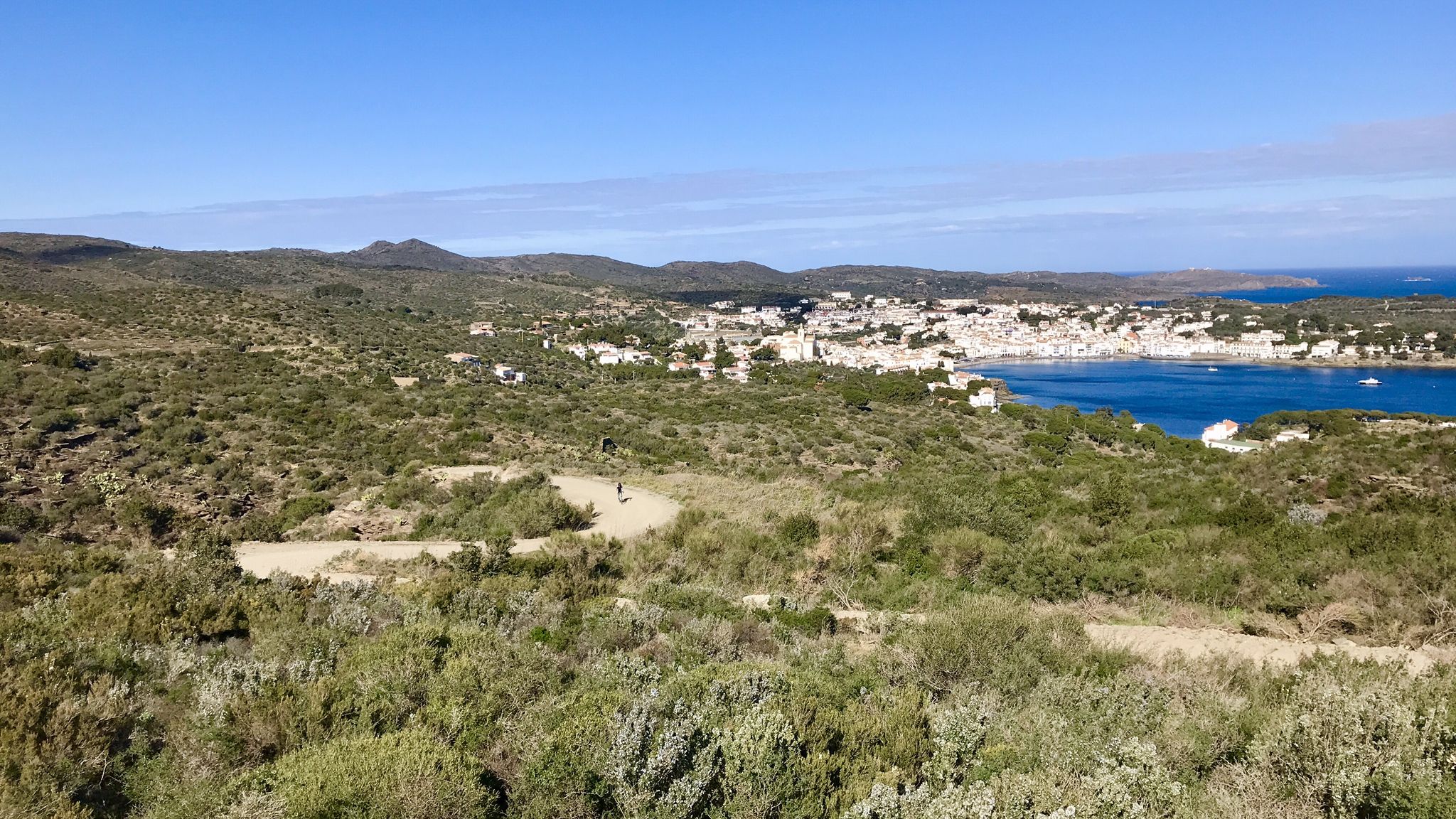
Garrotxa, Olot and Cap de Creus – gravel paradise in Spain

Catalonia and Andorra on the Pyrenean Trail – GR 11
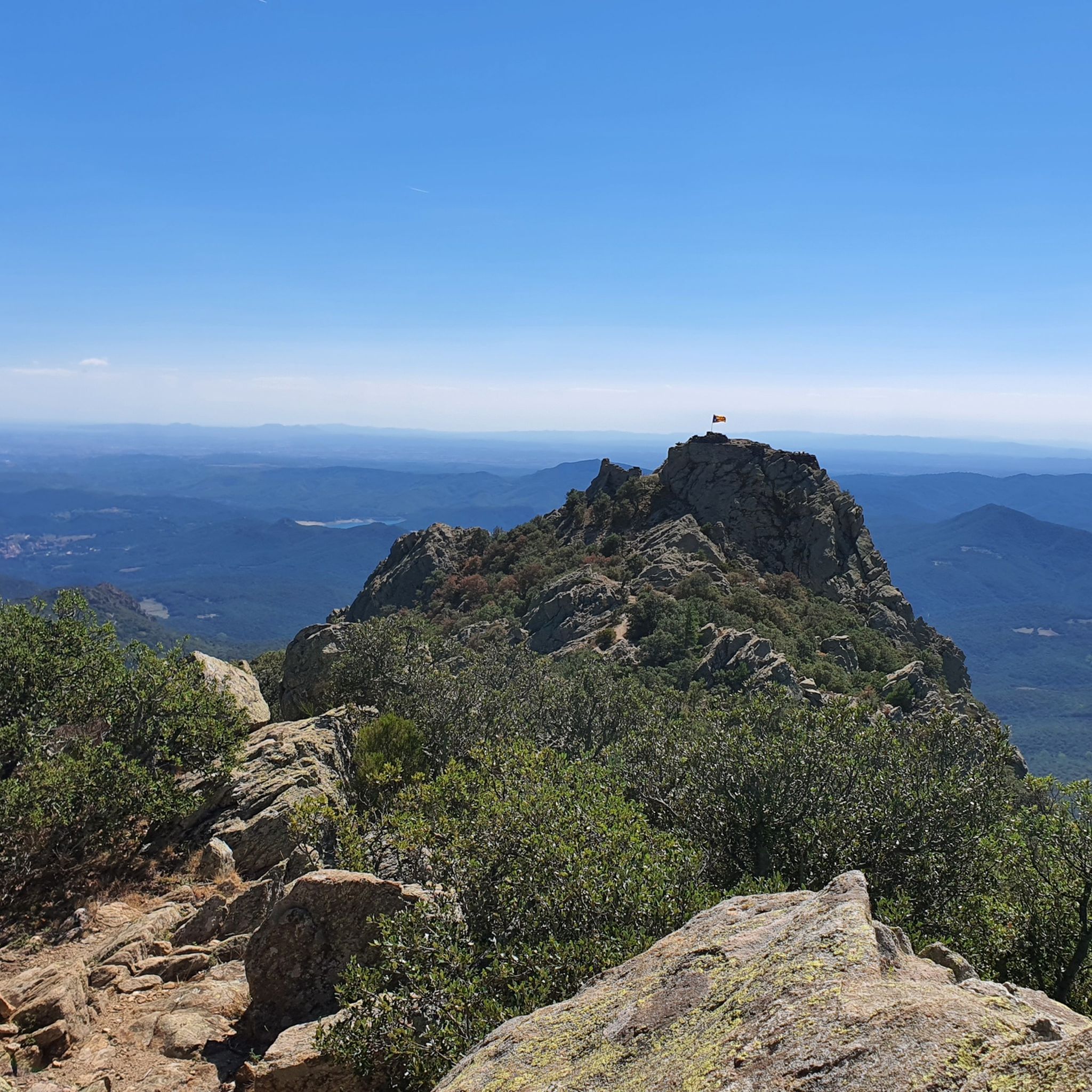
MTB Trails around Alta Garrotxa-Massís de les Salines
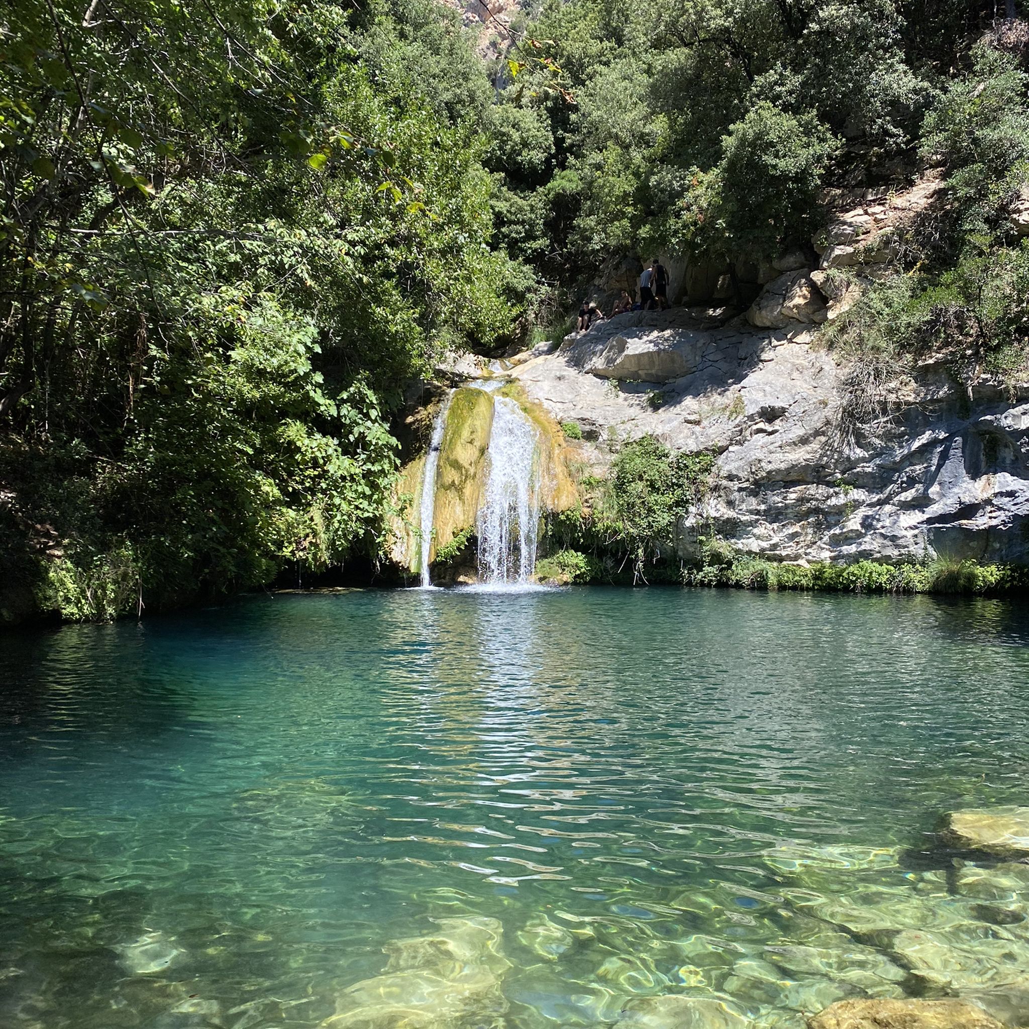
Hiking around Alta Garrotxa-Massís de les Salines
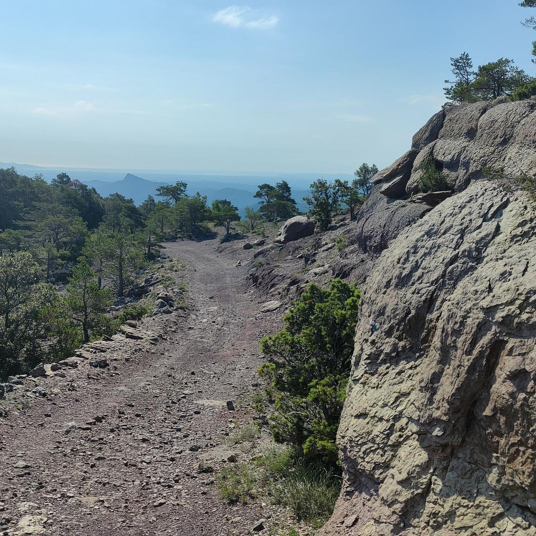
Cycling around Alta Garrotxa-Massís de les Salines
Road Cycling Routes around Alta Garrotxa-Massís de les Salines

Gravel biking around Alta Garrotxa-Massís de les Salines

Mountain Hikes around Alta Garrotxa-Massís de les Salines
Other adventures around Alta Garrotxa-Massís de les Salines


Tips from the Community


You can drive up, but I recommend walking up from Beuda, a beautiful hike of moderate difficulty.
0
0
The bar is closed on Mondays and Tuesdays. The restaurant is closed from Monday to Thursday, Spectacular 360° views of the Pyrenees, Garrotxa, Montseny Banyoles and the Pla de l'Estany.
0
0

You can't just drive to Sadernes and park at the moment. You need a QR code to reserve a parking space. You can download this in advance via a website or at a checkpoint on one of the access roads. The cost was 6 euros. The best thing is to do it in advance, because the first time we came in the weekend everything was already occupied and we had to go back.
1
0

On the side of the road there are 10-15 steps into the forest where you can find a cold water top
0
0

Beautiful place. In construction next door to open a new Shelter (attended). There is a source.
0
1

Spectacular views of the Garrotxa and Ripolles Pyrenees peaks. From October to April, the bar-restaurant is only open at weekends (Friday, Saturday and Sunday).
3
0

The sanctuary is located on the summit of a mountain, Mont, and enjoys privileged views over the Empordà plain and the mountains of Alta Garrotxa and the southern slopes of the Girona Pyrenees. The adjoining church dates from the late Romanesque period, built in the early 14th century, with a pointed barrel vault. In the 18th century, an inn was built, famous for having hosted the poet Jacint Verdaguer, who wrote one of his most famous poems here, "Canigó" (a mountain in the Pyrenees visible from here). In 2008, a public subscription funded a two-meter-high bronze statue of the poet. The inn currently operates as a restaurant and hotel.
0
0
Frequently Asked Questions
How many running routes are available in Alta Garrotxa-Massís de les Salines?
There are over 29 dedicated running routes in Alta Garrotxa-Massís de les Salines, offering a wide range of options for all fitness levels. The region's rugged peaks, diverse forests, and dramatic gorges provide varied and scenic terrain for your runs.
What kind of terrain can I expect on the jogging trails in Alta Garrotxa-Massís de les Salines?
The terrain is quite varied and often rugged, characterized by the eastern Pyrenean foothills. You'll encounter deep valleys, imposing cliffs, and extensive forests of Scots pine, beech, and oak. The region's karst topography also contributes to its unique, sometimes jagged, landscape. Many routes feature significant elevation changes, providing a challenging yet rewarding experience.
Are there any easy or beginner-friendly running routes in the area?
While many routes in Alta Garrotxa-Massís de les Salines are rated as difficult, there are options for less strenuous runs. The extensive trail network includes paths suitable for various ability levels, from leisurely jogs to more challenging ascents. For example, the Clot de Can Tenys loop from la Bassa d'en Camps is a 5.8-mile (9.4 km) trail through forested valleys, offering a more moderate experience.
Can I find running routes with scenic views or landmarks?
Absolutely! The region is rich in natural beauty and cultural heritage. Many running routes offer stunning vistas of rugged peaks and lush valleys. You can also encounter historical sites like the Romanesque Llierca Bridge, medieval bridges such as Valentí Bridge, and various hermitages and sanctuaries, including the Sant Aniol d'Aguja Hermitage and the Sanctuary of Mare de Déu de les Salines.
Are there any circular running routes in Alta Garrotxa-Massís de les Salines?
Yes, many of the running routes in the region are circular, allowing you to start and finish at the same point. A popular example is the Puig de Bassegoda Loop, an 11.8-mile (19.1 km) trail that offers a challenging circular experience with significant elevation gain. Another option is the Sant Aniol d'Aguja Ruins – Rocapastora Cliff loop from la Bassa d'en Camps, which is also a challenging circular path.
What do other runners enjoy most about jogging in Alta Garrotxa-Massís de les Salines?
The running routes in Alta Garrotxa-Massís de les Salines are highly rated by the komoot community, with an average score of 4.7 stars. Runners often praise the diverse and rugged landscape, the stunning natural beauty, and the challenging yet rewarding trails that lead through forests, past gorges, and up to scenic viewpoints.
Are there any specific attractions or natural features to look out for while running?
Beyond the general stunning scenery, you can look for specific natural features like the dramatic Gorges of Albanyà or the unique karst formations. The region is also known for its extensive and healthy oak forests, providing shaded and picturesque sections for your run. Keep an eye out for the Refugi Bassegoda Can Galan, a hut that can serve as a point of interest on longer routes.
Are there any running routes that pass by rivers or water features?
Yes, the region features crystal-clear streams and dramatic gorges, offering opportunities for waterside trails. The Fluvià river crosses through the nearby city of Olot, and the Gorges of the Muga Trail (mentioned in regional research) are known for natural pools and scenic river views, providing beautiful backdrops for your run.
What is the best time of year to go running in Alta Garrotxa-Massís de les Salines?
The region's diverse forests and varied topography make it suitable for running across different seasons. Spring and autumn generally offer pleasant temperatures and vibrant natural colors, while the extensive forests provide welcome shade during warmer summer months. Always check local weather conditions before heading out, especially for higher elevations.
Are there any longer, more challenging running routes for experienced athletes?
Absolutely. Alta Garrotxa-Massís de les Salines is known for its challenging routes. The Puig de Bassegoda Loop, at 11.8 miles (19.1 km) with over 1000 meters of elevation gain, is a difficult route perfect for experienced runners. Another demanding option is the Sant Aniol d'Aguja Ruins – Rocapastora Cliff loop from la Bassa d'en Camps, which is 11.9 miles (19.3 km) and includes challenging climbs.
Can I combine my run with exploring the nearby Volcanic Zone of La Garrotxa?
While this guide focuses on Alta Garrotxa-Massís de les Salines, its southern border is adjacent to the Parc Natural de la Zona Volcànica de la Garrotxa. This neighboring park offers a unique landscape with volcanic cones and lava flows, providing additional options for exploration and varied terrain if you wish to extend your running adventures into a different geological setting.
Most popular routes around Alta Garrotxa-Massís de les Salines
Most popular attractions around Alta Garrotxa-Massís de les Salines

Get inspired with the komoot mobile app


Explore more
Browse the best Running Trails & Routes in other regions.
