Saratoga Gap Open Space Preserve
Saratoga Gap Open Space Preserve
Attractions and Places To See in Saratoga Gap Open Space Preserve - Top 4
Best attractions and places to see in Saratoga Gap Open Space Preserve, located in the Santa Cruz Mountains, spans approximately 1,600 acres and connects to a larger trail network. The preserve features diverse landscapes, including evergreen forests, oak-madrone woodlands, and high grasslands, with elevations reaching over 2,500 feet. Notable geological formations like tufa and sculpted sandstone are present, alongside the prominent Castle Rock Falls. Historically, the area included the Saratoga Toll Road, now a trail, and was used for tannin…
Last updated: October 10, 2026
Route 9
Highlight (Segment) • Climb
Tip by

Skyline Boulevard
Highlight (Segment) • Trail
Tip by

Sign up now to discover places like this
Get recommendations on the best single tracks, peaks, & plenty of other exciting outdoor places.
Saratoga Gap Trail
Highlight (Segment) • Trail
Tip by
Saratoga Summit Ranger and Fire Station ⛲️
Highlight • Rest Area
Tip by

Start today with a free account
Your next adventure awaits.
Popular around Saratoga Gap Open Space Preserve


Tips from the Community

This long climb starts pretty easy, then gets more challenging. The last 1.5 miles are taxing on the legs. On the other hand, riding down is exhilarating; you have the road for yourself since cars either dare go fast or can't handle the turns as bikes do. If you leave in the South Bay, CA-9 is something you want to experience.
1
0

Great climb to access either Skyline or the amazing descent through the Giant Redwoods into Big Basin.
0
0

Saratoga Summit Ranger and Fire Station is at the highest point on Skyline Blvd Hwy 35, worth the short detour off Saratoga gap trail to refill with refreshing cold water and use their picnic facilities.
0
0
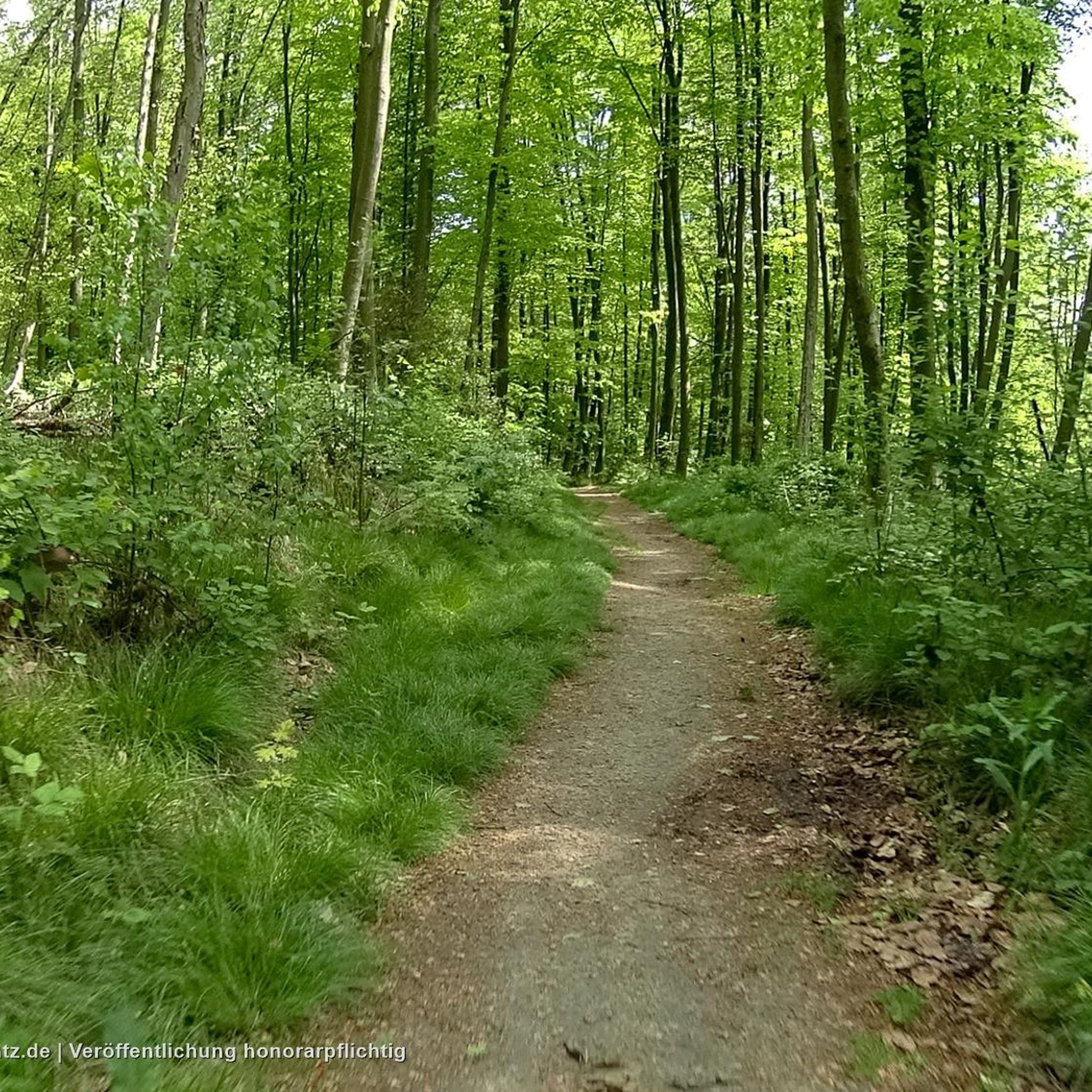
Except for two areas near the middle of the trail where a deep, rooty drop and nearby some gnarly eroded rocks force even experienced bikers to walk/carry their bike, Saratoga Gap Trail is a mostly sweet flowy singletrack along the Northeast side of Skyline ridge, paralleling the Skyline Road. This track marks the nifty connection to Skyline Road where the Saratoga Summit Ranger and Fire Station provides a delicious and possibly life-saving drinking water fountain ⛲ ! Good place to refill water and snack at the shady picnic table.
0
0

Saratoga Gap Trail has enough technical features to entertain any mountain biker. I wouldn't recommend this trail to a beginner.
0
0
The Saratoga Gap Trail has enough technical features to entertain any mountain biker.
0
0
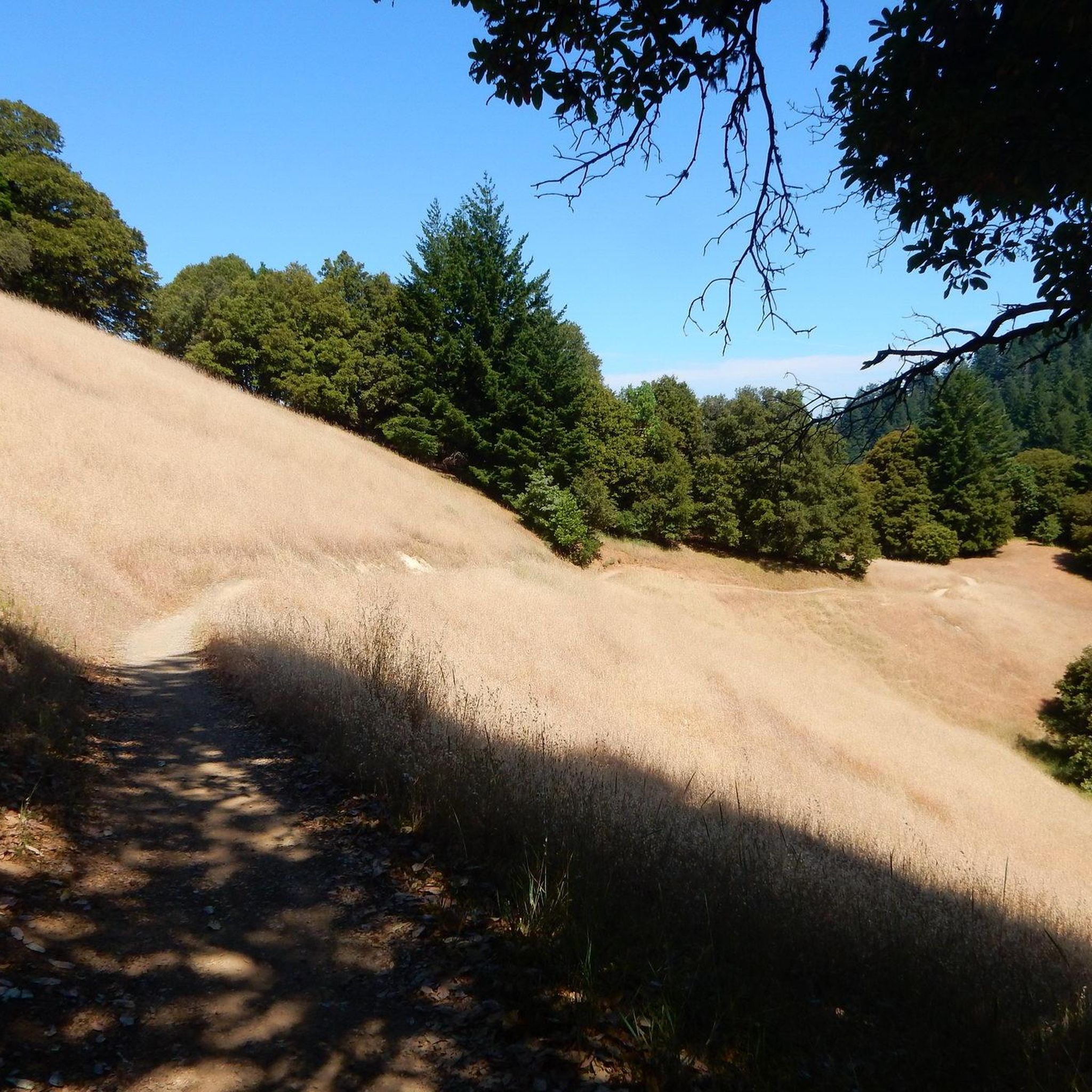
Skyline is, at first, partially open to some surrounding views as it snakes along a ridge with plenty of twists and little elevation gain. This is a very enjoyable segment. But, the road then suddenly betrays you by including a small selection of very short, extra-steep stretches. This portion of Skyline slaps you with grades like 14% and even 18% a few times without any apparent reason.
2
0
The grade of the climb is very steady overall. After gradually ramping up over the first 2.5 miles of the climb, the grade settles at a very even 6.5% for a while. Over the last third of the climb, it inches up slightly to 7%. But, you're much more likely to notice the local fluctuations of the grade around some of the tighter curves, than you are to feel this miniscule change in the average.
0
0
Frequently Asked Questions
What are the best trails for cycling in Saratoga Gap Open Space Preserve?
For road cycling, Route 9 offers a challenging climb with a steady grade and access to Skyline. Skyline Boulevard provides a trail that snakes along a ridge with twists and minimal elevation gain, though it does include some very steep sections. For mountain biking, the Saratoga Gap Trail is known for its technical features and is a sweet flowy singletrack along the Northeast side of Skyline ridge. You can find more cycling routes in the area, including options for road, mountain, and touring bikes, by visiting the Road Cycling Routes, MTB Trails, and Cycling guides for Saratoga Gap Open Space Preserve.
Are there any facilities available for visitors in the preserve?
Yes, the Saratoga Summit Ranger and Fire Station is located at the highest point on Skyline Boulevard (Highway 35). It's a convenient spot to refill water and use picnic facilities.
What kind of natural features can I expect to see in Saratoga Gap Open Space Preserve?
The preserve boasts diverse landscapes, including moist evergreen forests, oak-madrone woodlands, and high grasslands. You can encounter unique geological formations such as tufa formations and intricately sculpted sandstone. A prominent water feature is Castle Rock Falls. The area is also rich in plant life, with moss-covered trees and lichen-covered boulders adding to the scenic beauty.
Are there any historical sites or points of interest within the preserve?
While primarily known for its natural beauty, the preserve does have historical significance. The Saratoga Toll Road, now a trail, was a main artery from Santa Cruz to the Santa Clara Valley in the late 19th century. The land itself was historically used for extracting tannins and producing charcoal before its protection.
What are the difficulty levels of trails in Saratoga Gap Open Space Preserve?
The preserve offers an extensive network of trails catering to various ability levels, with options for easy, moderate, and difficult routes. For example, Route 9 is a challenging climb, and Saratoga Gap Trail has technical features that are not recommended for beginners.
Are there family-friendly activities or trails in Saratoga Gap Open Space Preserve?
The Saratoga Summit Ranger and Fire Station is considered family-friendly, offering facilities like water and picnic tables. For an easier trail experience, the Peter's Creek Section features a relatively flat trail with direct access to a creek, which might be suitable for families.
What is the best time to visit Saratoga Gap Open Space Preserve for wildflowers?
While the preserve is beautiful year-round, spring is generally the best season for wildflower viewing. The varied landscapes support abundant plant life, and spring brings out vibrant blooms.
Where can I find panoramic views in the preserve?
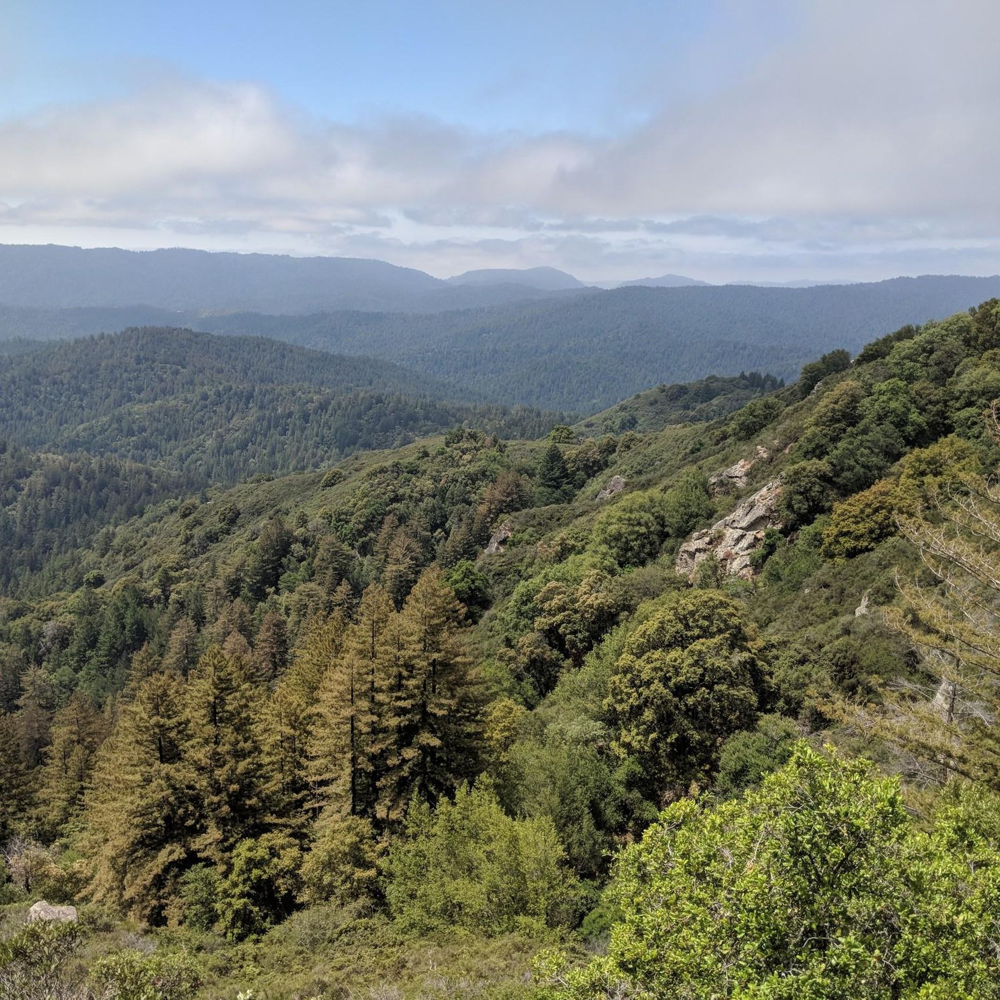
Skyline Boulevard offers sections with surrounding views as it snakes along a ridge. The varied elevations within the preserve, reaching up to 2600 feet, also provide opportunities for scenic vistas across the diverse landscapes.
What are some popular hiking opportunities in Saratoga Gap Open Space Preserve?
Popular hiking routes include the Skyline Trail, Travertine Springs Trail & Saratoga Toll Road loop (9.2 miles), and the challenging Castle Rock Falls – Inner Connector Trail loop (9.5 miles). The Saratoga Gap Trail also offers a 4.7-mile loop through woodlands and open areas.
Is there public transport available to Saratoga Gap Open Space Preserve?
The provided information does not detail specific public transport routes or bus services directly to Saratoga Gap Open Space Preserve trailheads. Visitors typically access the preserve by car, with parking available at various trailheads along Skyline Boulevard (Highway 35) and near the Saratoga Summit Ranger and Fire Station.
What makes the Saratoga Gap Trail unique for mountain bikers?
The Saratoga Gap Trail is highly regarded by mountain bikers for its technical features. It's described as a mostly sweet flowy singletrack along the Northeast side of the Skyline ridge, paralleling Skyline Road. However, it does have a few challenging sections with deep, rooty drops and gnarly eroded rocks that may require even experienced riders to dismount.
Can I connect to other parks from Saratoga Gap Open Space Preserve?
Yes, Saratoga Gap Open Space Preserve serves as a vital link in the Bay Area's extensive trail network. Its strategic location allows for the creation of longer, interconnected routes with adjoining parks such as Sanborn-Skyline County Park, Castle Rock State Park, Long Ridge Open Space Preserve, Upper Stevens Creek County Park, and Monte Bello Open Space Preserve.
Most popular routes in Saratoga Gap Open Space Preserve

Get inspired with the komoot mobile app


Explore more
Still not found the Highlight you’re looking for? See guides of the top attractions in other regions:
