The best running trails in Saratoga Gap Open Space Preserve
4.6
(20)
1,194
runners
75
runs
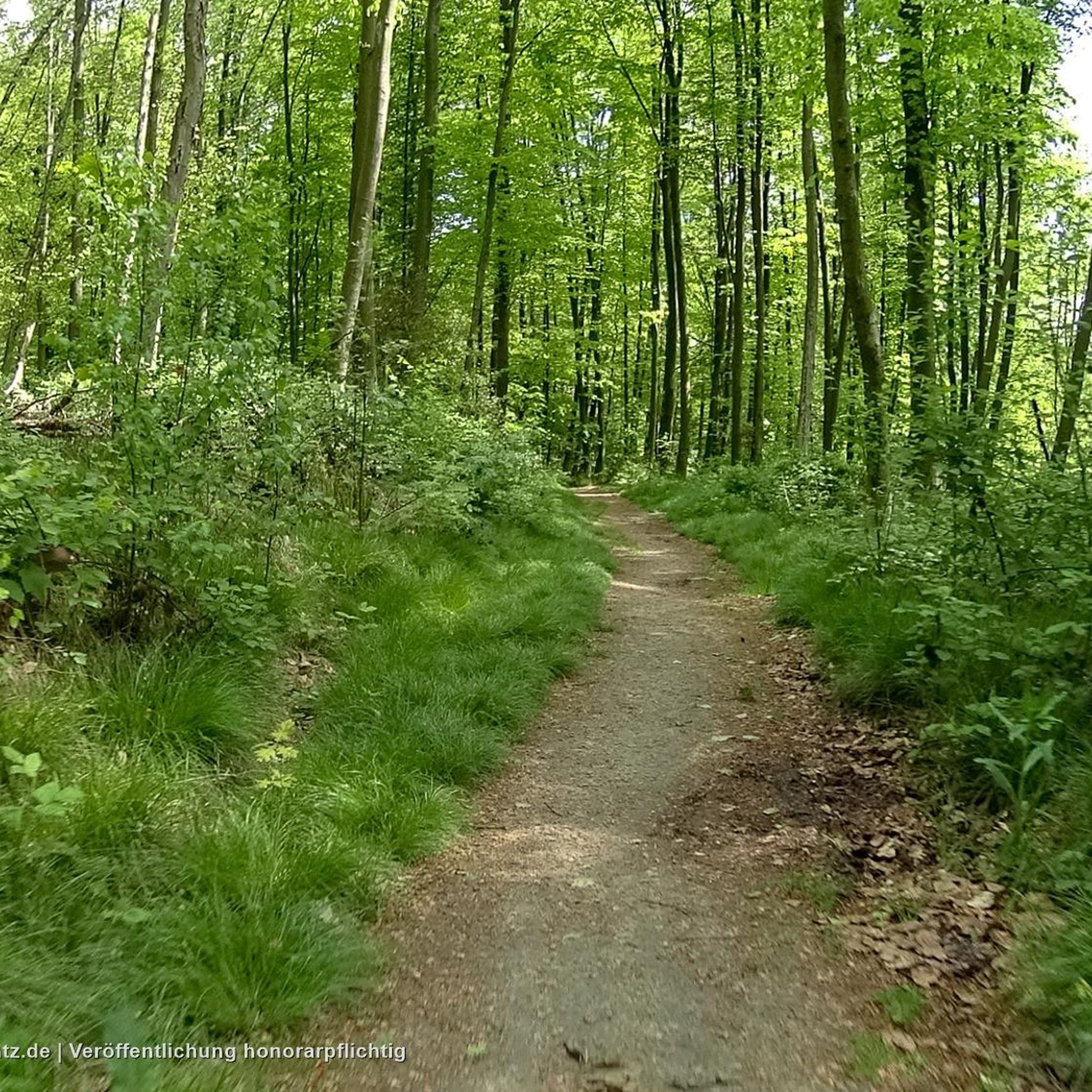
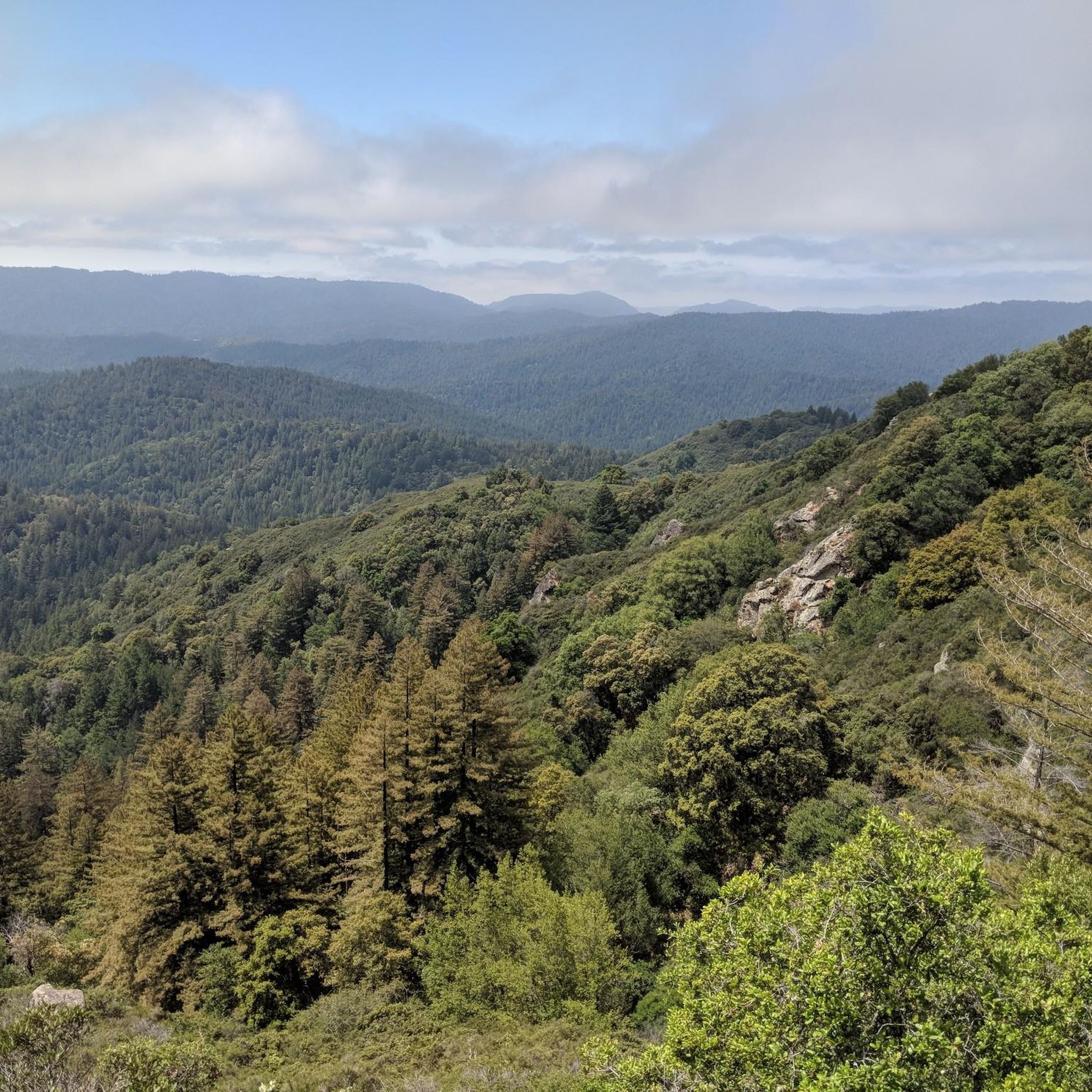
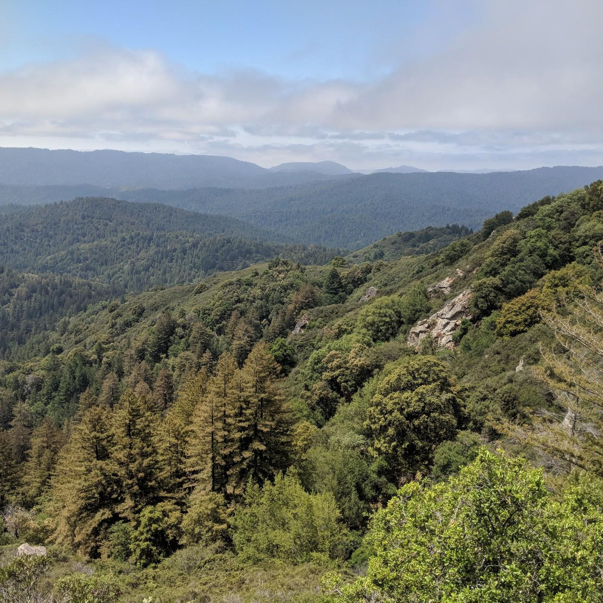
Jogging in Saratoga Gap Open Space Preserve offers access to a diverse network of trails within the Santa Cruz Mountains. The preserve features lush forests of oak and evergreen trees, including Douglas fir, providing ample shade. Joggers can encounter unique sandstone rock formations and experience varied terrain, from moist evergreen forests and oak-madrone woodlands to high grasslands with coastal mountain views. The preserve includes sections like Peter's Creek, which offers flatter trails, contrasting with steeper mountain paths.
Best jogging routes…
Last updated: July 7, 2026
8
runners
7.35km
00:53
150m
150m
Moderate run. Good fitness required. Mostly paved surfaces. Suitable for all skill levels.
1
runners
12.0km
01:20
290m
290m
Moderate run. Good fitness required. Mostly paved surfaces. Suitable for all skill levels.

Sign up for free
6
runners
7.43km
00:59
180m
180m
Hard run. Good fitness required. Sure-footedness, sturdy shoes and alpine experience required.
3
runners
5.28km
00:43
210m
210m
Moderate run. Good fitness required. Mostly paved surfaces. Suitable for all skill levels.
11.6km
01:27
520m
520m
Hard run. Very good fitness required. Mostly paved surfaces. Suitable for all skill levels.
Get access to more routes and recommendations from other explorers.
Sign up for free
Already have an account?
Our route recommendations are based on thousands of hikes, rides, and runs completed by other people on komoot.
Start today with a free account
Your next adventure awaits.
Login or Signup

Tips from the Community

Turtle Rock is the highest and most prominent mountain in the area. From this viewpoint, you can enjoy a panoramic view of the surrounding mountains, especially stunning at sunset. Be cautious, as the trail is popular and often busy with hikers.
1
0

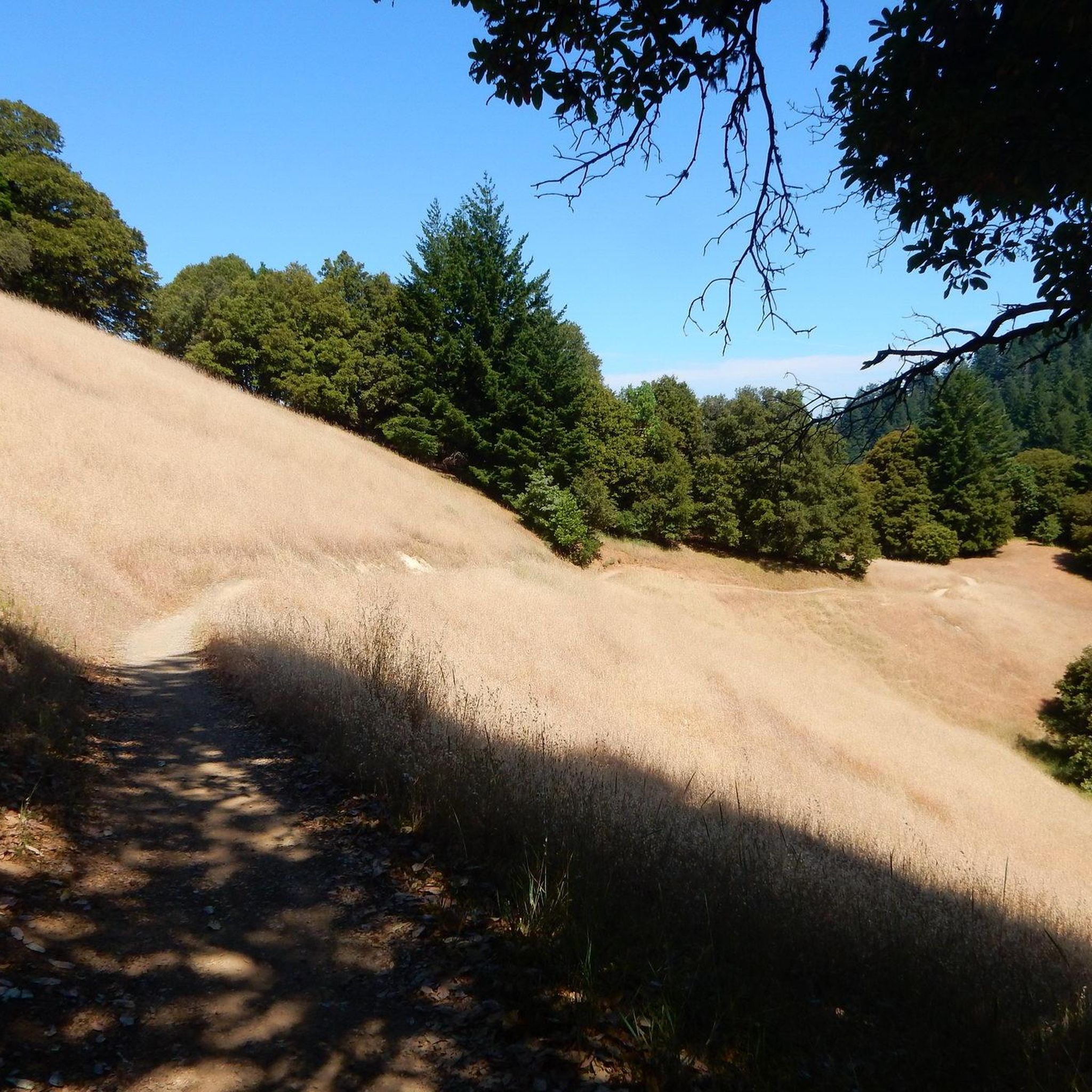
This beautiful trail passes through madrone and oak woods before emerging into grasslands peppered with very large old oak trees. The wooded areas on the route are a welcome relief on a hot day. The trail runs along Steven Creek and its tributaries, offering a lush forest floor ladened with wild rose, ferns and gooseberry under the California bay and big-leaf maple trees.
0
0

Table Mountain Trail winds through a valley with plenty of tree coverage, as well as a nice mix of exposed sections so you can see the rolling hills. There isn't any awe-inspiring overlook, so this isn't the best location if you want views, but great for if you just want a fast loop to train on.
0
0

Indian Rock, a natural climbing spot, is located at the entrance of the Sanborn-Skyline County Park. The rock consists of Sandstone, but don't have the red colors that are so commonly found in the American southwest.
0
0
Turtle Rock gets its name because it looks like a little turtle with its head sticking up. This is a stunning spot to take a break and enjoy the overlook of the rolling hills and clouds roaming through the valleys.
0
0
Indian Rock, natural climbing spot is located at the entrance of the Sanborn-Skyline County Park. The rock consists of Sandstone but don't have the red colors that are so commonly found in the American southwest.
1
0

Saratoga Gap Trail here meets Skyline Trail after crossing Canyon Springs Rd, just east of the big intersection. The road and trailhead parking are the only interruption in otherwise pure bliss single track trails.
0
1

Frequently Asked Questions
What kind of terrain and elevation changes can I expect on the running trails in Saratoga Gap Open Space Preserve?
The preserve offers a diverse range of terrain, from lush forests of oak and evergreen trees providing ample shade, to unique sandstone rock formations. You'll find moist evergreen forests, oak-madrone woodlands, and high grasslands with stunning coastal mountain views. While some paths, like sections near Peter's Creek, are relatively flat, many routes feature varied elevation changes, including steeper mountain paths, catering to different fitness levels.
Are there any notable landmarks or viewpoints along the running routes in Saratoga Gap Open Space Preserve?
Yes, runners can enjoy several interesting features. The preserve is known for its unique sandstone rock formations and offers stunning coastal mountain views from its high grasslands. You might encounter sections of the Saratoga Gap Trail or run parallel to Skyline Boulevard, which offers scenic vistas. The Route 9 area also presents interesting features for exploration.
Is parking available at Saratoga Gap Open Space Preserve trailheads?
Yes, parking is generally available at designated trailheads and access points throughout Saratoga Gap Open Space Preserve. Specific parking details can often be found on individual route pages or by checking local park information before your visit. The Saratoga Summit Ranger and Fire Station is also located within the vicinity, suggesting accessible facilities.
When is the best time of year to go running in Saratoga Gap Open Space Preserve?
Saratoga Gap Open Space Preserve is enjoyable year-round, but the best time often depends on personal preference. The lush forests provide ample shade, making it pleasant even on warmer days. Spring brings vibrant greenery, while fall offers cooler temperatures and beautiful foliage. Varying trail conditions depending on the season, from soft forest floors to firm grassland paths, add to the dynamic experience.
What do other runners enjoy the most about jogging in Saratoga Gap Open Space Preserve?
The area is highly rated by the komoot community, with an average score of 4.8 stars. Reviewers often praise the diverse landscapes, from shaded forests to open grasslands, and the varied elevation changes that offer options for all skill levels. The tranquility of the trails, free from motorized vehicles, is also frequently highlighted as a key enjoyment factor.
Are there any easy running routes suitable for beginners or a more relaxed pace?
Yes, while the preserve has challenging mountain paths, sections like the Peter's Creek area offer relatively flatter trails, ideal for an easier or more relaxed running experience. For a moderate option, the Achistaca Trail to Turtle Rock is a popular choice, covering 4.6 miles through varied forest landscapes.
Are there any longer running routes for experienced runners looking for a challenge?
Absolutely. The preserve's connectivity to a larger network, including Sanborn-Skyline County Park and other preserves, allows for extended journeys. Routes like Canyon Trail — Monte Bello Open Space Preserve offer a longer 7.5-mile experience with significant elevation changes. For a difficult challenge, consider the Grizzly Flat Trail to Table Mountain Loop, which is over 7 miles with substantial elevation gain.
Can I find loop trails for running in Saratoga Gap Open Space Preserve?
Yes, loop trails are available, providing a convenient way to experience the preserve's beauty without retracing your steps. A popular option is the Summit Rock Loop Trail, a 3.3-mile route through forested areas that also offers panoramic views. Another challenging loop is the Castle Rock Falls – Loughry Woods Trail loop from Whalen.
Are dogs allowed on the running trails in Saratoga Gap Open Space Preserve?
According to the preserve's guidelines, dogs are generally not permitted on the trails within Saratoga Gap Open Space Preserve. This policy helps maintain a peaceful environment for wildlife and other visitors. It's always best to check the most current regulations before planning your run.
Are the running trails in Saratoga Gap Open Space Preserve suitable for families with children?
While some trails feature steeper ascents, the preserve does offer options that can be suitable for families. Flatter sections, such as those along Peter's Creek, provide an easier experience. When running with children, it's advisable to choose shorter, less strenuous routes and be mindful of the varied terrain and elevation changes.
How many running routes are available in Saratoga Gap Open Space Preserve?
There are over 80 running routes available in Saratoga Gap Open Space Preserve, catering to a wide range of abilities. This includes approximately 9 easy routes, 51 moderate routes, and 21 difficult routes, ensuring there's something for every runner.
Most popular routes in Saratoga Gap Open Space Preserve
Most popular attractions in Saratoga Gap Open Space Preserve

Get inspired with the komoot mobile app


Explore more
Browse the best Running Trails & Routes in other regions.
