The best running trails in Coyote Valley Open Space Preserve
4.3
(7)
384
runners
41
runs
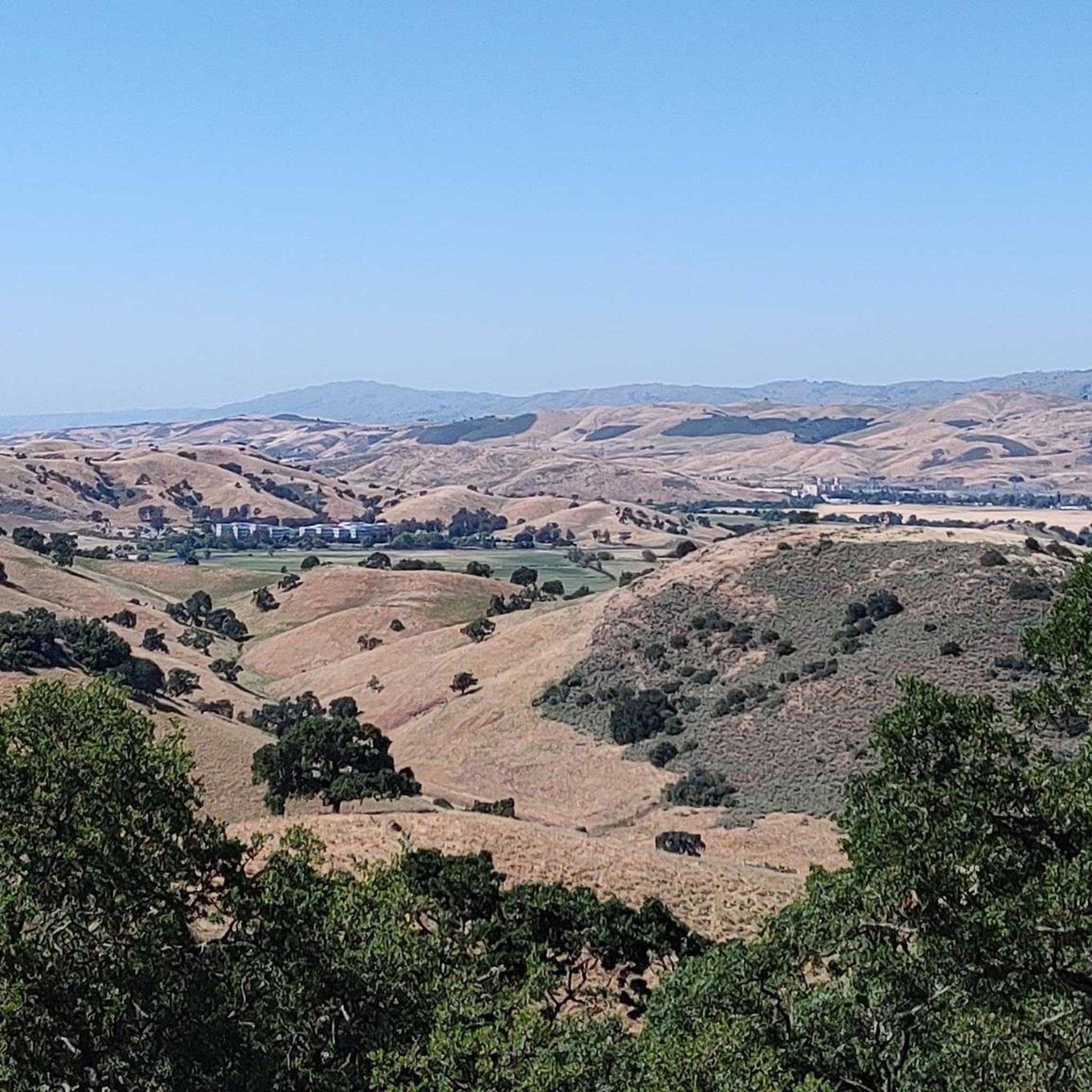
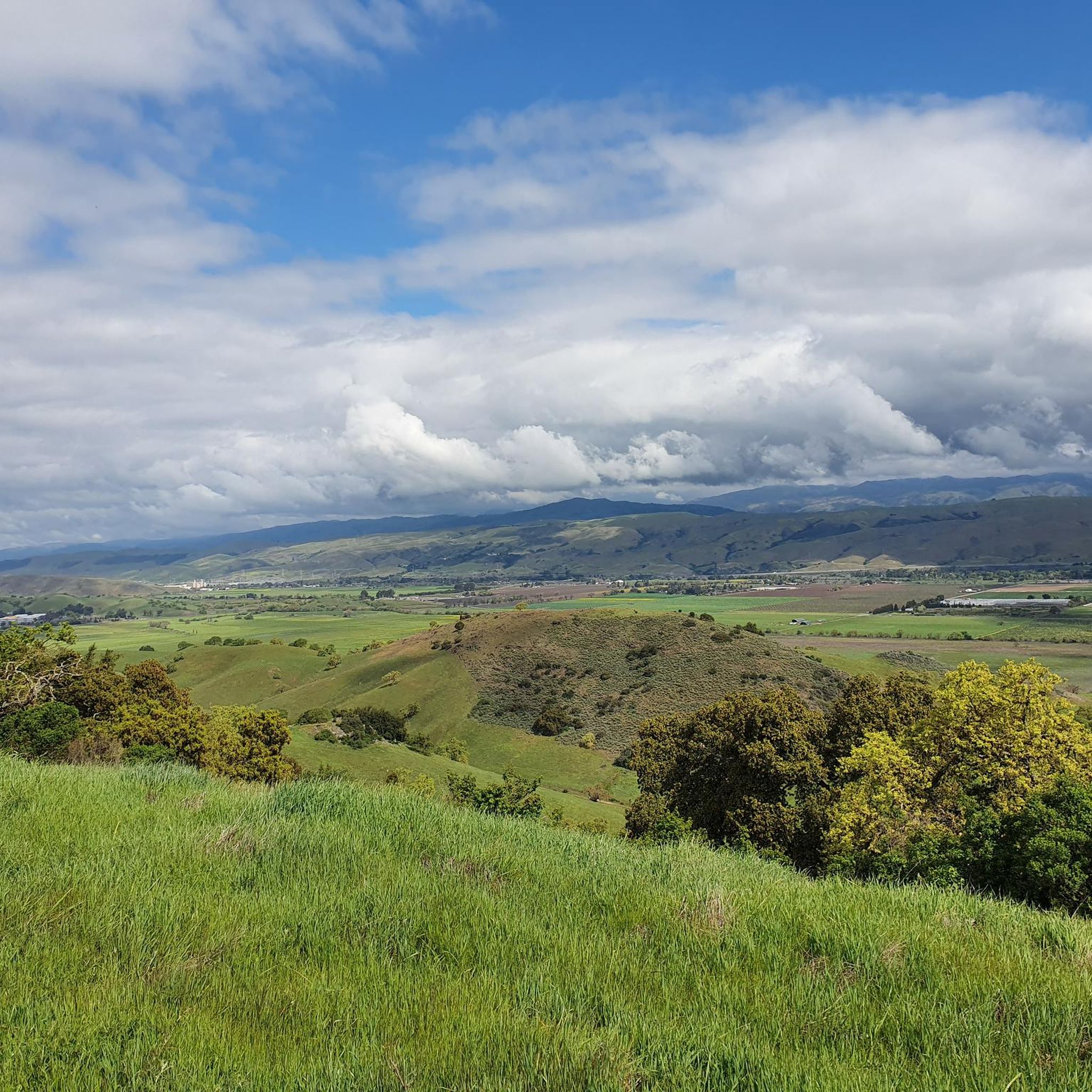
Jogging in Coyote Valley Open Space Preserve offers a diverse outdoor experience within easy reach of urban areas. The preserve features varied terrain, including open grasslands, oak forests, and distinctive serpentine rock outcroppings. Jogging routes here provide panoramic views of the Coyote Valley, the Diablo Range, and Mount Umunhum. This area serves as a critical wildlife corridor, enhancing the natural experience for runners.
Best jogging routes in Coyote Valley Open Space Preserve
- The most popular jogging route is Arrowhead Loop…
Last updated: August 31, 2026
16
runners
6.27km
00:49
170m
170m
The Arrowhead Loop Trail provides a moderate jogging experience, covering 3.9 miles (6.3 km) with an elevation gain of 549 feet (167 metres), typically completed in about 49 minutes. As…
2.94km
00:20
40m
40m
Enjoy an easy 1.8-mile (2.9 km) jog on the Figueroa Trail Loop in Calero County Park, passing Los Cerritos Pond.

Sign up for free
1
runners
8.13km
00:59
170m
170m
Jog this 5.1-mile loop in Calero County Park, featuring reservoir views and challenging steep sections.
4.37km
00:27
10m
10m
This easy 2.7-mile jogging loop in Morgan Hill uses Hale and Dougherty Avenues, offering a paved path and suburban views.
18
runners
Hard run. Very good fitness required. Mostly paved surfaces. Suitable for all skill levels.
Get access to more routes and recommendations from other explorers.
Sign up for free
Already have an account?
Our route recommendations are based on thousands of hikes, rides, and runs completed by other people on komoot.
Start today with a free account
Your next adventure awaits.
Login or Signup
Tips from the Community


Here, you can buy fresh fruit, including prunes, pears, apricots, and cherries, depending on the season.
0
0

Calero County Park 4,400 acres park that features Calero Reservoir, a huge lake on the northern side of the park. This is the main entrance to the park with a big parking area, a visitor center, restrooms, picnic tables, and access to the Oak Cove Trail.
0
0

Los Cerritos Pond is just off the side of the Oak Cove Trail and is a great spot for a pit-stop during your ride. You can get right up next to the banks of the water, or you can hang out under the shade trees closer to the main trail.
0
0

True to its name, Los Cerritos ("little hills") Pond is ringed by hills. You'll find a great network of looping walking trails here, and from March through May the wildflowers here are spectacular. Plan to be without shade for long stretches of your run.
0
0

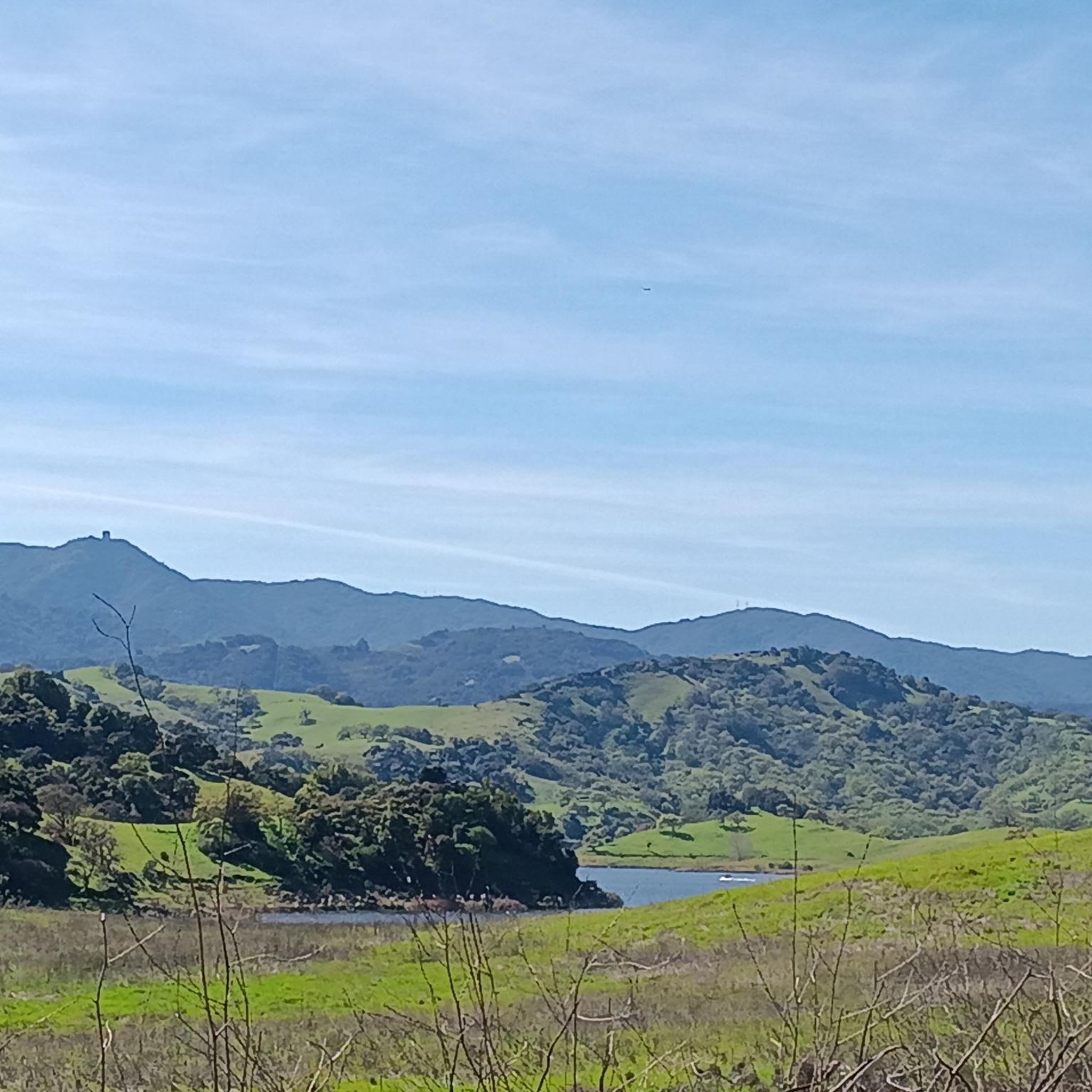
This is a beautiful spot just north of Morgan Hill. In the east you have farms and flat country roads, and in the west there is more mountainous open space preserves.
0
0

Though lower than Bald Peaks summit overlook, this viewpoint provides a beautiful view to the east and southeast toward Morgan Hill from a little above 1,400 feet of elevation.
0
0
Longwall Canyon Trail is a nicely marked trail that navigates through trees, fields, and has stunning views of the South Bay at points. The trail has a nice mix of terrain and scenery to keep things interesting.
0
0
Frequently Asked Questions
How many running routes are available in Coyote Valley Open Space Preserve?
Coyote Valley Open Space Preserve offers a wide selection of running routes, with over 45 different options to explore. These routes cater to various fitness levels, including easy, moderate, and difficult trails.
What kind of terrain can I expect on the jogging trails in Coyote Valley Open Space Preserve?
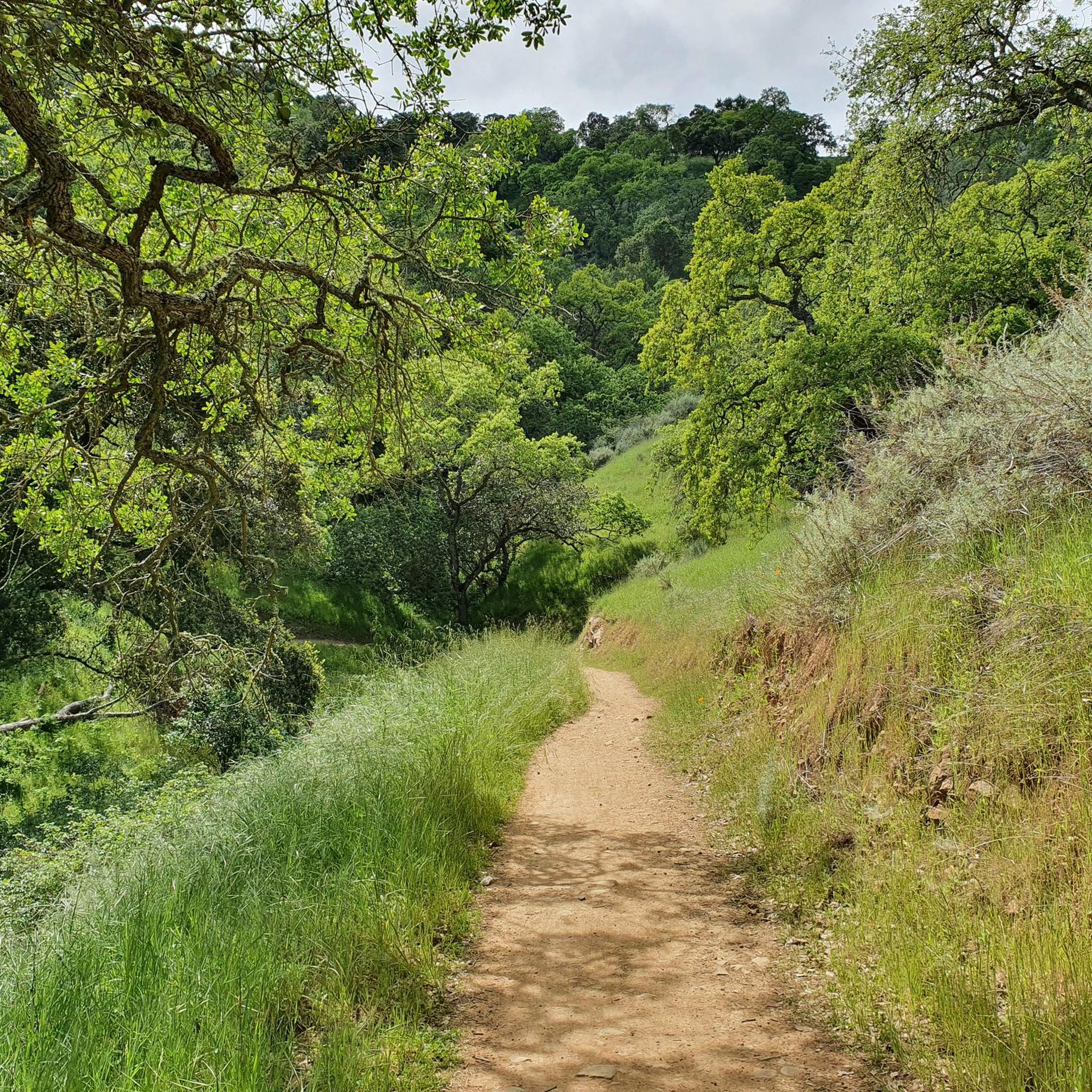
Joggers can expect a diverse range of terrain. Trails meander through open grasslands, which burst with wildflowers in spring, and pass under forest canopies of oaks and California bays. You'll also encounter distinctive serpentine rock outcroppings and seasonal creeks that come alive in winter.
Are there any easy or beginner-friendly running routes in the preserve?
Yes, there are several easy routes perfect for beginners or those looking for a lighter run. One excellent option is the Figueroa Trail Loop, an easy 1.8-mile (2.9 km) path featuring open grasslands and oak canopies. Another accessible choice is the Hale Avenue via Dougherty Avenue loop, which is 2.7 miles (4.4 km) and also rated easy.
Can I find circular running routes in Coyote Valley Open Space Preserve?
Absolutely. Many of the trails in the preserve are designed as loops, offering a continuous running experience. Popular circular routes include the Arrowhead Loop Trail, a 3.9-mile (6.3 km) moderate path, and the Oak Cove and Los Cerritos Trail Loop, which is 5.0 miles (8.1 km).
What scenic views or landmarks can I see while running in the preserve?
From higher points along the trails, you can enjoy panoramic vistas of the Coyote Valley and the surrounding mountains, including the Diablo Range, Mount Hamilton, and Mount Umunhum. The Arrowhead Loop Trail is also an official interpretive site of the historic Juan Bautista de Anza Trail, adding a historical dimension to your run.
Is Coyote Valley Open Space Preserve suitable for wildlife spotting during a run?
Yes, the preserve is a critical wildlife corridor and an excellent location for wildlife viewing. You might spot soaring red-tailed hawks, golden eagles, and yellow-billed magpies. Deer, coyotes, bobcats, and even mountain lions and foxes have also been sighted, especially during quieter times of the day.
Are the running trails in Coyote Valley Open Space Preserve dog-friendly?
Many trails in Coyote Valley Open Space Preserve are dog-friendly, but it's always best to check specific trail regulations before you go. Generally, dogs are welcome on leash, allowing you to enjoy your run with your canine companion.
What is the best time of year to go jogging in Coyote Valley Open Space Preserve?
Spring is particularly beautiful, with dazzling wildflower displays, especially orange poppies, blanketing the hillsides. Winter brings seasonal creeks to life. The preserve offers a rewarding experience year-round, but spring and fall generally provide the most comfortable temperatures for running.
Where can I find parking for the running trails?
Coyote Valley Open Space Preserve provides designated parking areas for visitors accessing the trails. Specific parking details can often be found on the preserve's official website or at the trailhead entrances.
What do other runners enjoy most about jogging in Coyote Valley Open Space Preserve?
The running routes in Coyote Valley Open Space Preserve are highly rated by the komoot community, with an average score of 4.0 stars. Reviewers often praise the diverse terrain, the stunning panoramic views, and the sense of a true rural and wild experience so close to urban areas.
Are there any particularly challenging running routes for experienced runners?
For experienced runners seeking a challenge, the preserve offers several difficult routes. One notable option is the Los Cerritos Pond – Bald Peaks Trail Viewpoint loop from Calero County Park, a demanding 13.2-mile (21.2 km) route with significant elevation gain, perfect for a longer, more strenuous run.
What should I wear for jogging on the trails in Coyote Valley Open Space Preserve?
Given the varied terrain and potential for sun exposure in open grasslands, it's advisable to wear layers, appropriate running shoes with good grip, and sun protection like a hat and sunscreen. Bringing sufficient water is also crucial, especially on longer routes or warmer days.
Most popular routes in Coyote Valley Open Space Preserve

Get inspired with the komoot mobile app


Explore more
Browse the best Running Trails & Routes in other regions.
