The best cycling routes in Coyote Valley Open Space Preserve
4.4
(44)
612
riders
24
rides
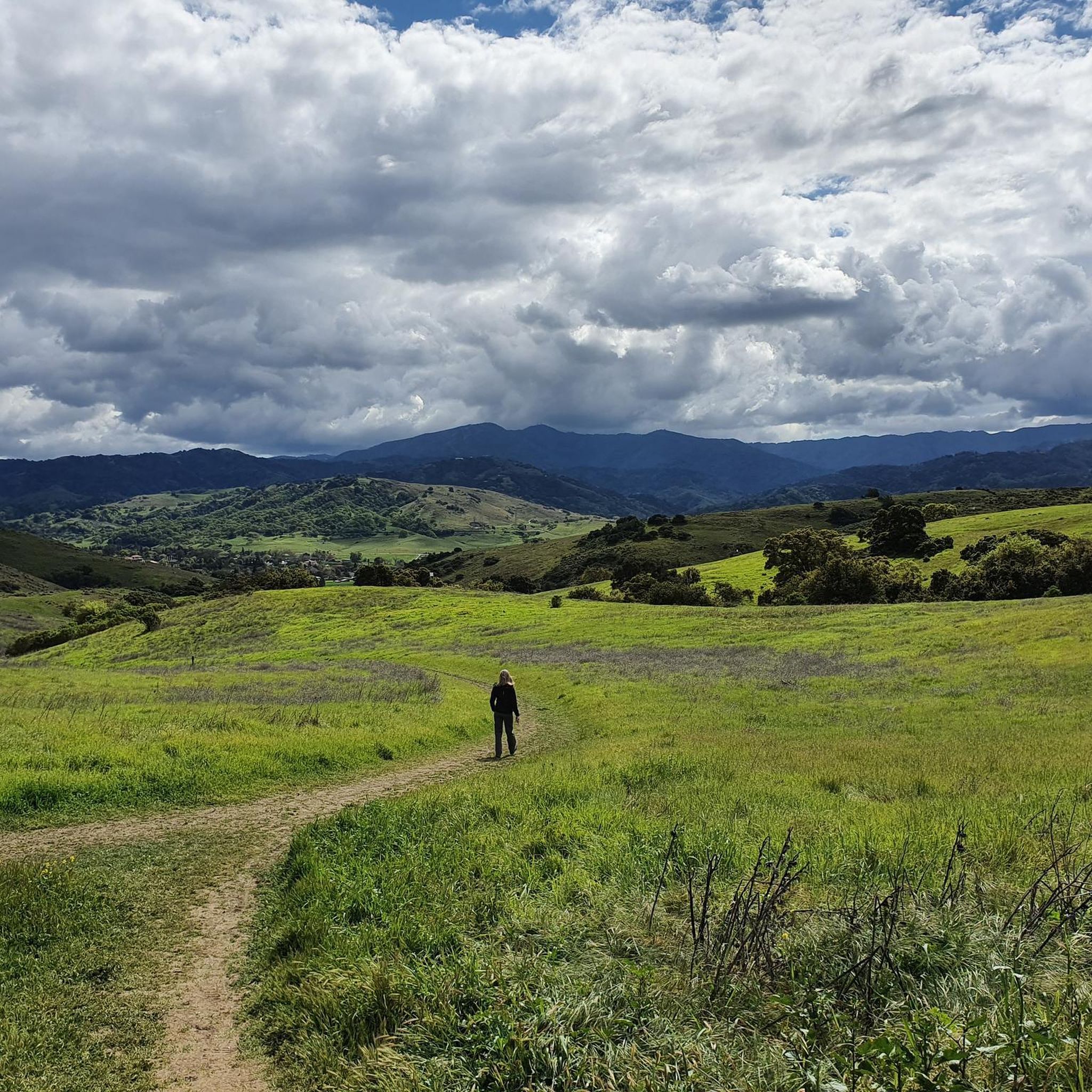
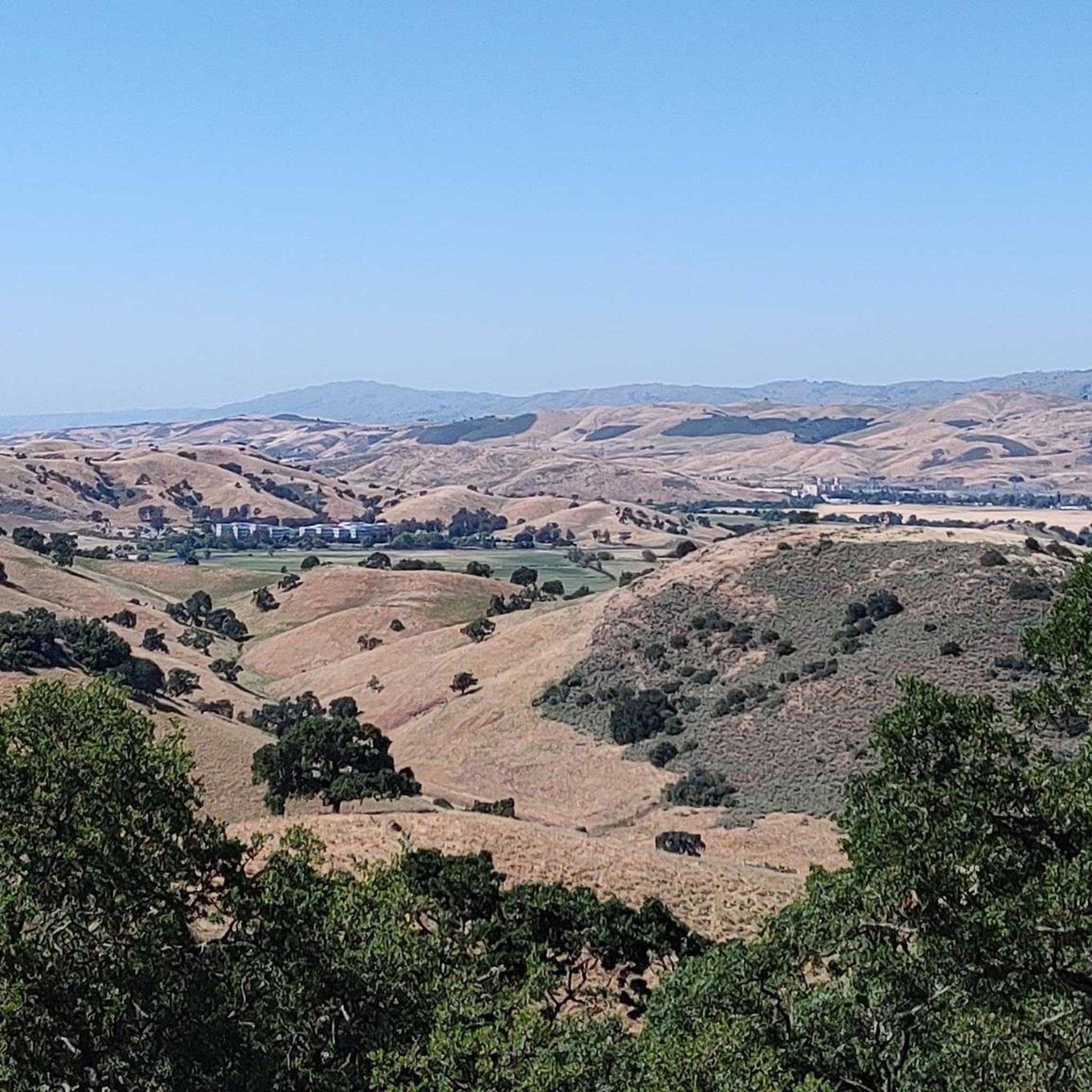
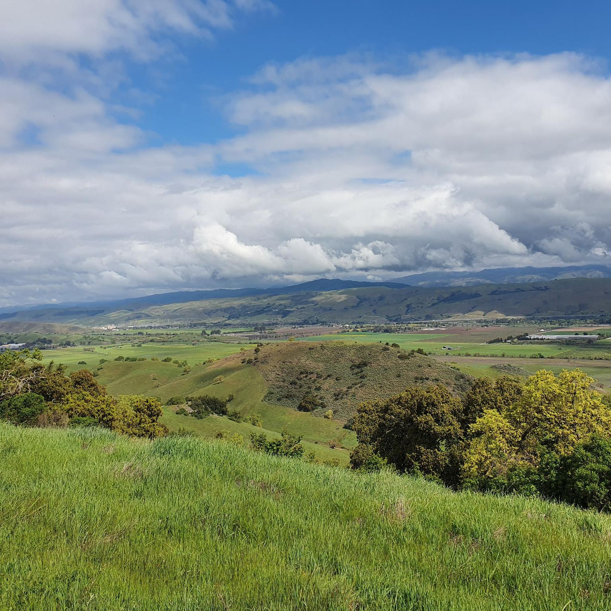
Touring cycling in Coyote Valley Open Space Preserve traverses a landscape characterized by open grasslands, rolling hills, and riparian corridors. The preserve features a network of trails that often follow creek beds and offer views of the surrounding valley, Mount Hamilton, and Mount Umunhum. Elevations are generally gentle, with some routes including moderate climbs, and the terrain is suitable for various touring bicycle types, providing a mix of paved and unpaved surfaces. Cyclists can navigate through rare serpentine rock outcroppings…
Last updated: July 9, 2026
4.6
(14)
82
riders
Moderate bike ride. Good fitness required. Mostly paved surfaces. Suitable for all skill levels.
33
riders
20.6km
01:47
230m
230m
Hard bike ride. Good fitness required. You may need to push your bike for some segments of this route.

Sign up for free
17
riders
36.6km
03:55
820m
820m
Hard bike ride. Very good fitness required. You may need to push your bike for some segments of this route.
11
riders
22.2km
01:18
60m
60m
Easy bike ride. Great for any fitness level. Mostly paved surfaces. Suitable for all skill levels.
3.0
(1)
12
riders
12.9km
01:31
440m
440m
Moderate bike ride. Good fitness required. Mostly paved surfaces. Suitable for all skill levels.
Get access to more routes and recommendations from other explorers.
Sign up for free
Already have an account?
Our route recommendations are based on thousands of hikes, rides, and runs completed by other people on komoot.
Start today with a free account
Your next adventure awaits.
Login or Signup
Tips from the Community


Hellyer Park Velodrome is Northern California’s only dedicated bicycle racing facility. Located in a car-free park along Coyote Creek, it’s perfect for cyclists of all levels, from beginners to pros, to train and race.
1
0

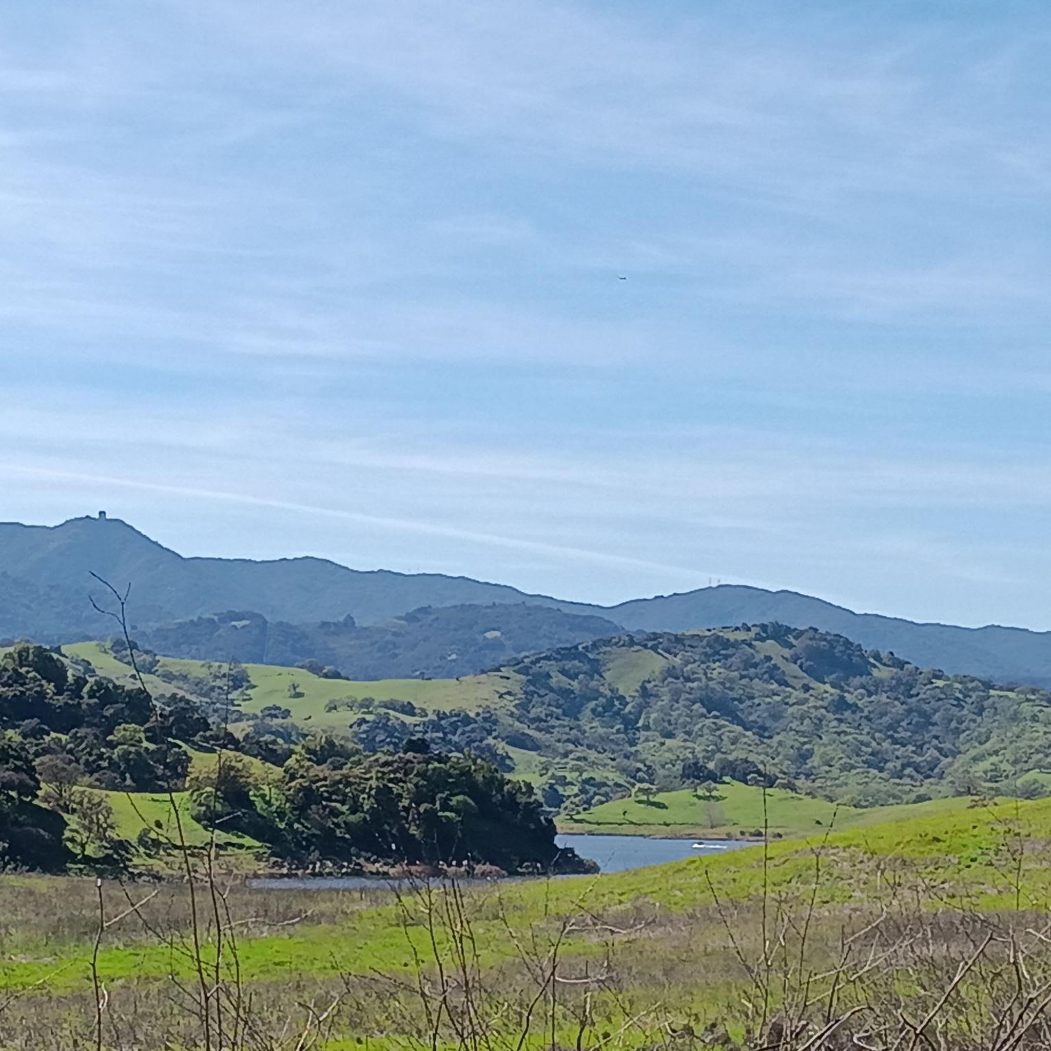
Calero County Park is 4,471 acres with a diverse topography. The main feature is Calero Reservoir, which doesn't allow swimming, but you can wade. Calero Reservoir is interestingly the only body of water in Santa Clara County Parks that allows for boating year round.
0
0

The Oak Cove Trail in Calero County Park is a 5.6-mile out-and-back trail open for mountain biking, hiking, and trail running. The trail offers a mix of flat sections and gentle hills, making it accessible for beginners and families. Riders can enjoy scenic views of the reservoir and surrounding landscapes. The trail connects with the Lisa Killough Trail, allowing for extended rides within the park. While the path is mostly flat, there are a few small hills that may require less experienced riders or kids to dismount. The first hill at the beginning (and the last hill on the return) is probably the most challenging.
0
0
Calero County Park 4,400 acres park that features Calero Reservoir, a huge lake on the northern side of the park. This is the main entrance to the park with a big parking area, a visitor center, restrooms, picnic tables, and access to the Oak Cove Trail.
0
0

Nice gravel trail that winds its way through the park. Some sections follow long the water giving you some great views.
0
0
Frequently Asked Questions
What are the difficulty levels of touring cycling routes in Coyote Valley Open Space Preserve?
Coyote Valley Open Space Preserve offers a range of touring cycling routes to suit different abilities. There are 7 easy routes, 15 moderate routes, and 6 more challenging routes available for exploration.
What is the typical length of touring cycling routes in the preserve?
Route lengths vary, but you'll find options from shorter loops to longer excursions. For example, the Coyote Pond – Coyote Ranch loop is an easy 14.1 miles (22.8 km) ride, while the Coyote Creek Trail – Coyote Ranch loop covers 27.9 miles (44.8 km).
Is there parking available for touring cyclists at Coyote Valley Open Space Preserve?
Yes, Coyote Valley Open Space Preserve typically provides designated parking areas for visitors, including those arriving with bicycles. It's advisable to check the preserve's official website for specific parking lot locations and any potential fees or restrictions before your visit.
Are there family-friendly touring cycling routes in Coyote Valley Open Space Preserve?
Absolutely. The preserve features several easy routes suitable for families. The Coyote Ranch – Ogier Ponds Bike Path loop is an excellent easy option, offering a relaxed ride through scenic areas.
What is the best time of year for touring cycling in Coyote Valley Open Space Preserve?
The best time for touring cycling in Coyote Valley Open Space Preserve is generally during the spring and fall. These seasons offer milder temperatures and pleasant conditions. Summer can be hot, especially in the afternoon, while winter may bring rain, making some unpaved sections muddy.
What should I bring for a touring cycling trip in Coyote Valley Open Space Preserve?
Given the open nature of the preserve, it's essential to bring plenty of water, sun protection (sunscreen, hat, sunglasses), and snacks. A basic bike repair kit, a map or GPS device, and appropriate layers of clothing are also recommended.
Are there any circular touring cycling routes in Coyote Valley Open Space Preserve?
Yes, many of the routes in the preserve are designed as loops, offering varied scenery without retracing your path. The Oak Cove Trail to Cottle Trail loop is a popular circular option, providing diverse terrain.
What kind of wildlife might I see while cycling in Coyote Valley Open Space Preserve?
Coyote Valley Open Space Preserve is home to diverse wildlife. Cyclists might spot various bird species, including raptors, as well as deer, coyotes, and other small mammals. Maintaining a respectful distance and staying on marked trails helps protect these animals.
What do other touring cyclists enjoy most about touring cycling in Coyote Valley Open Space Preserve?
The area is highly rated by the komoot community, with an average score of 4.4 stars from over 39 reviews. Reviewers often praise the preserve's open grasslands, rolling hills, and creek-side paths, as well as the variety of routes suitable for different ability levels.
Are there any advanced touring cycling routes for experienced riders?
Yes, for experienced touring cyclists seeking a challenge, routes like the Bald Peaks loop via Oak Cove Trail & Chisnantuk Peak Trail offer significant elevation gain and longer distances, providing a more demanding ride.
How many touring cycling routes are available in Coyote Valley Open Space Preserve?
There are 28 touring cycling routes available for exploration in Coyote Valley Open Space Preserve, offering a wide range of distances and difficulty levels.
Most popular routes in Coyote Valley Open Space Preserve

Get inspired with the komoot mobile app


Explore more
Browse the best Cycling routes in other regions.
