The best road cycling routes in Coyote Valley Open Space Preserve
4.7
(33)
1,481
riders
16
rides
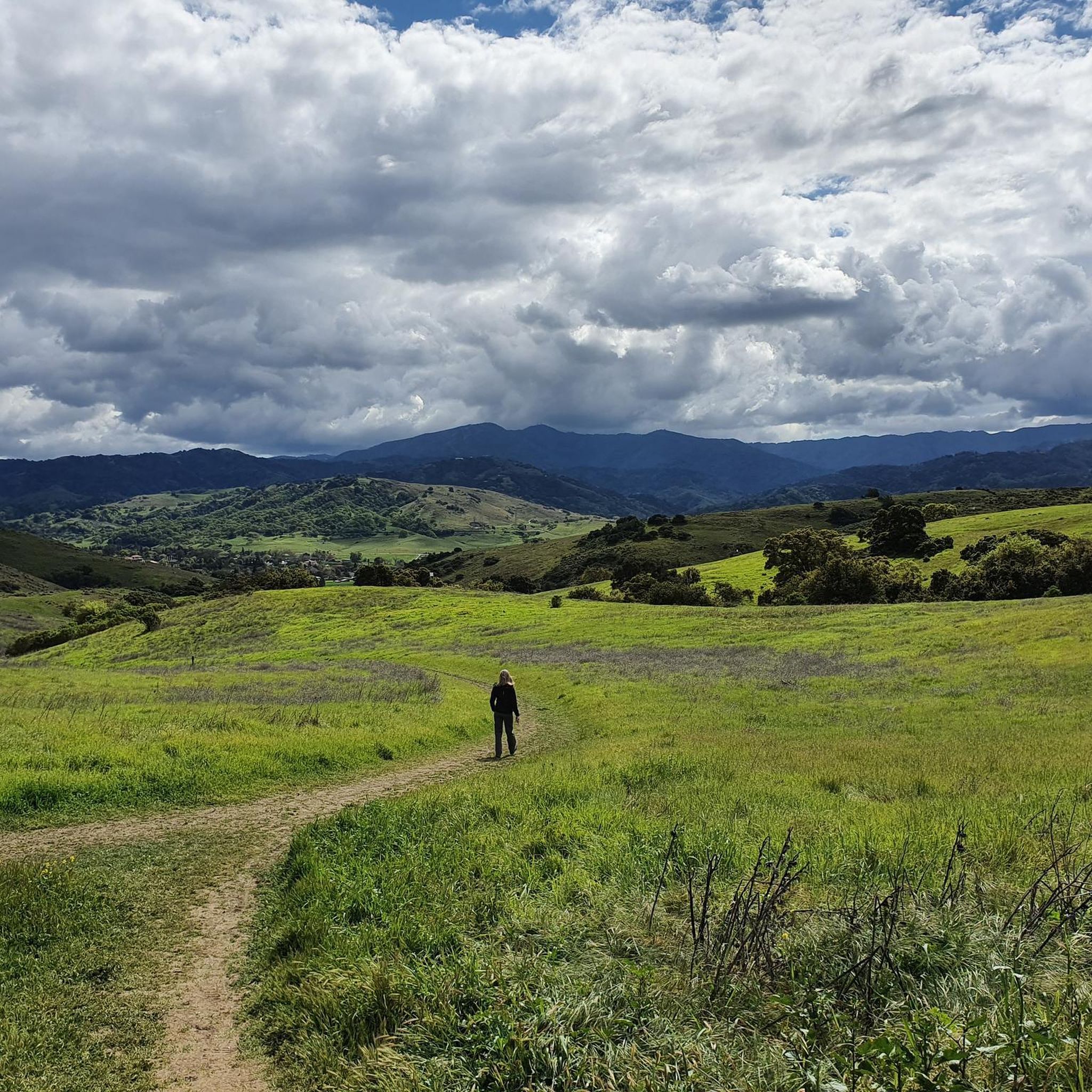
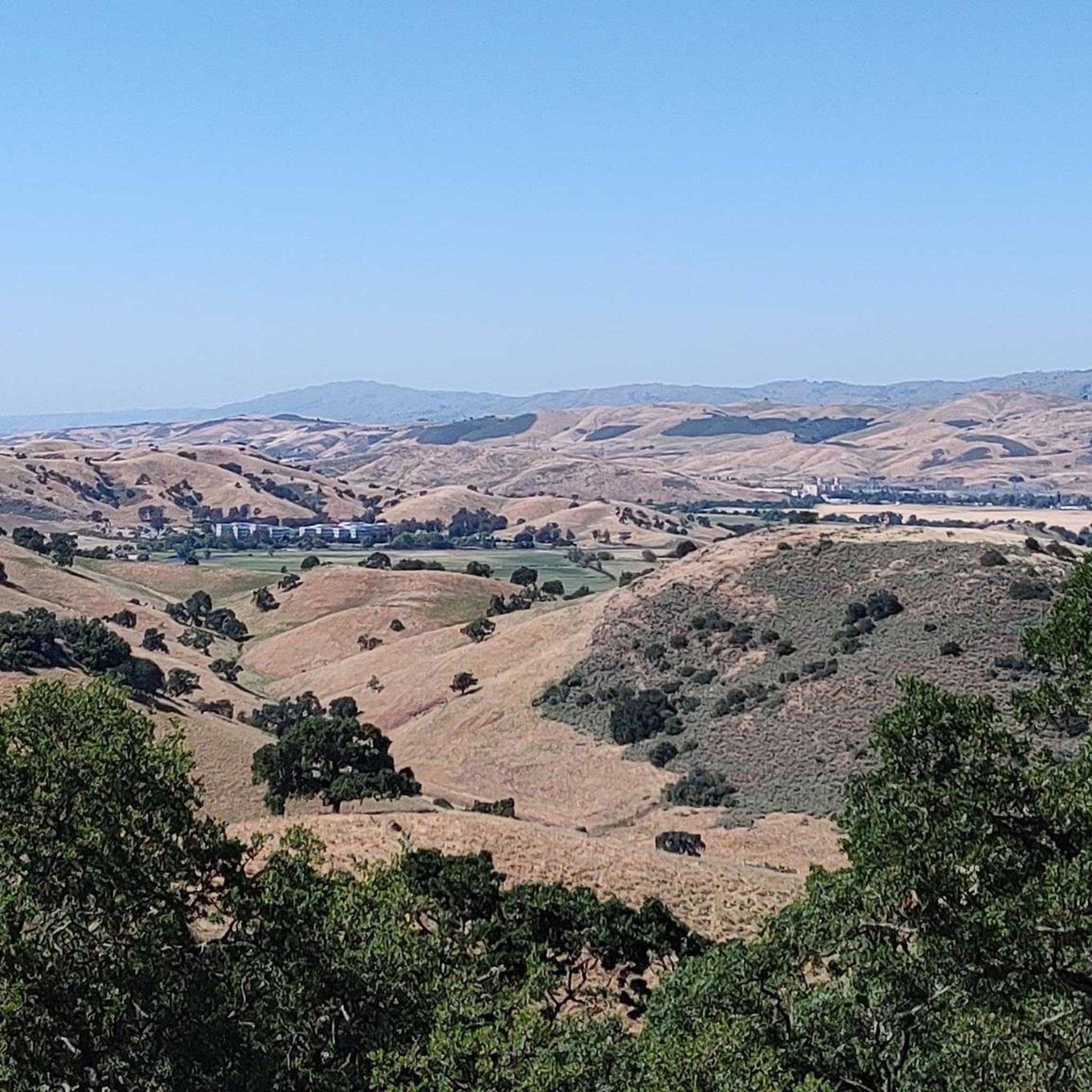
Road cycling in Coyote Valley Open Space Preserve traverses a landscape characterized by rolling hills, open grasslands, and oak and California bay forests. The broader Coyote Valley region offers touring roads with scenic views of Mount Hamilton and Mount Umunhum. While the preserve's internal trails are primarily multi-use and better suited for mountain or hybrid bikes, the surrounding area provides dedicated routes for road cyclists. This region serves as a critical ecological linkage between the Santa Cruz Mountains and the…
Last updated: October 18, 2026
5
riders
Moderate road ride. Good fitness required. Some segments of this route may be unpaved and difficult to ride.
18
riders
Easy road ride. Great for any fitness level. Mostly well-paved surfaces and easy to ride.

6
riders
16.6km
00:48
50m
50m
Easy road ride. Great for any fitness level. Mostly well-paved surfaces and easy to ride.
5.0
(2)
29
riders
Easy road ride. Great for any fitness level. Mostly well-paved surfaces and easy to ride.
9
riders
Easy road ride. Great for any fitness level. Mostly well-paved surfaces and easy to ride.
Get access to more routes and recommendations from other explorers.
Already have an account?
Our route recommendations are based on thousands of hikes, rides, and runs completed by other people on komoot.
Start today with a free account
Your next adventure awaits.
Tips from the Community

Here, you can buy fresh fruit, including prunes, pears, apricots, and cherries, depending on the season.
0
0

The Coyote Creek Trail passes through the heart of Coyote Ranch, which is lined with open pastures and hillsides. There are also a couple small reservoirs on the property that you get to walk by during your hike.
0
0

The Coyote Creek Trail, also called the Bay Area Ridge Trail, is a stunningly paved multi-use path that slowly transitions to gravel. The trail winds in between a number of ponds and has a little more shade at the turnaround loop.
0
0
Bailey Road is a nice gradual uphill section of tarmac with a dirt shoulder. This spot would be great for some intervals on the hill and you can enjoy some nice views at the top. On the sharp hairpin, there are some dirt trails you could tie in to extend your run.
0
0
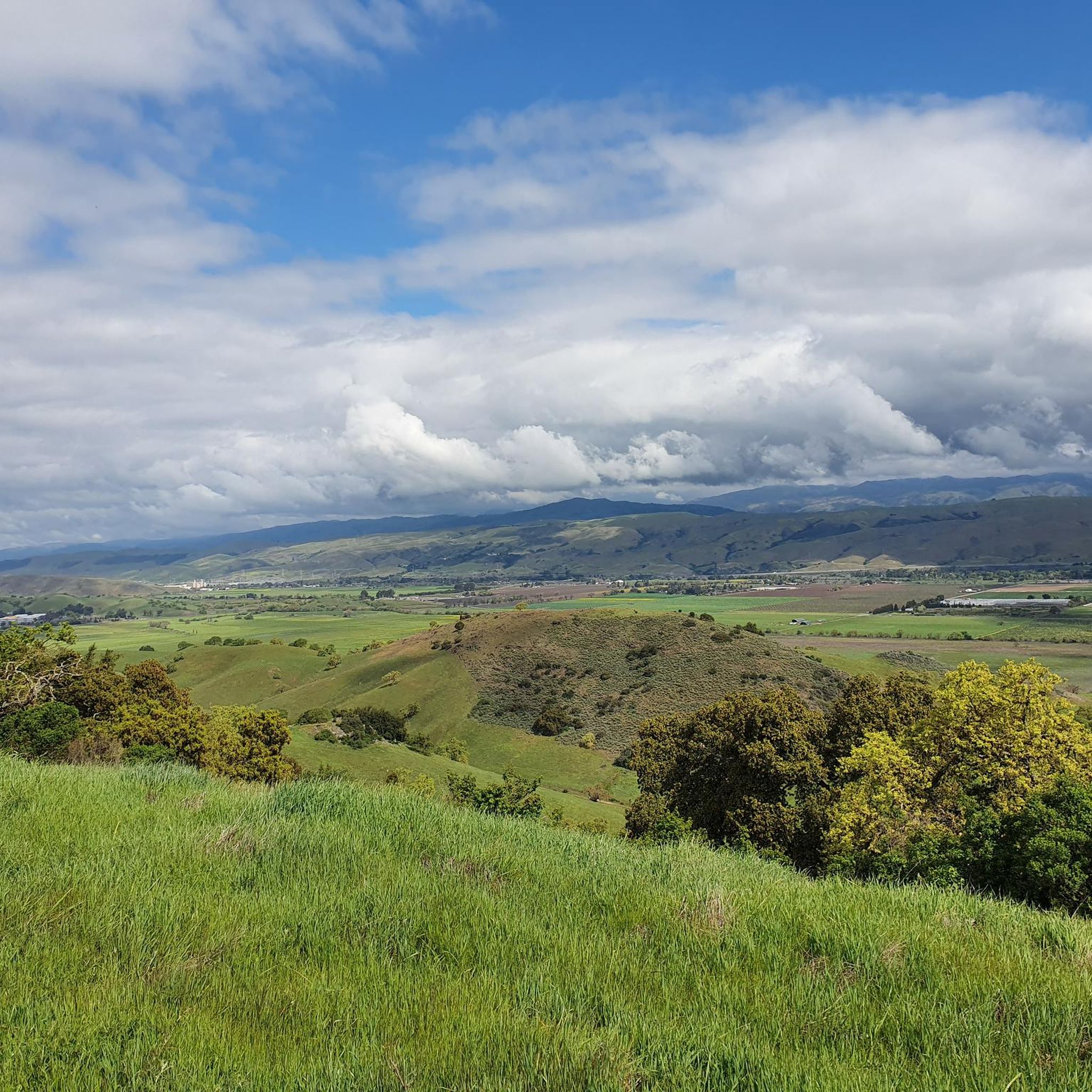
This is a beautiful spot just north of Morgan Hill. In the east you have farms and flat country roads, and in the west there is more mountainous open space preserves.
0
0
There is a cool bridge here located in a little canyon. This point is just about where Anderson Lake flows into Coyote Creek.
0
0
The Coyote Creek Trail, also called the Bay Area Ridge Trail, is a stunningly paved multi-use path that slowly transitions to gravel. The trail winds in between a number of ponds and has a little more shade at the turnaround loop.
0
0
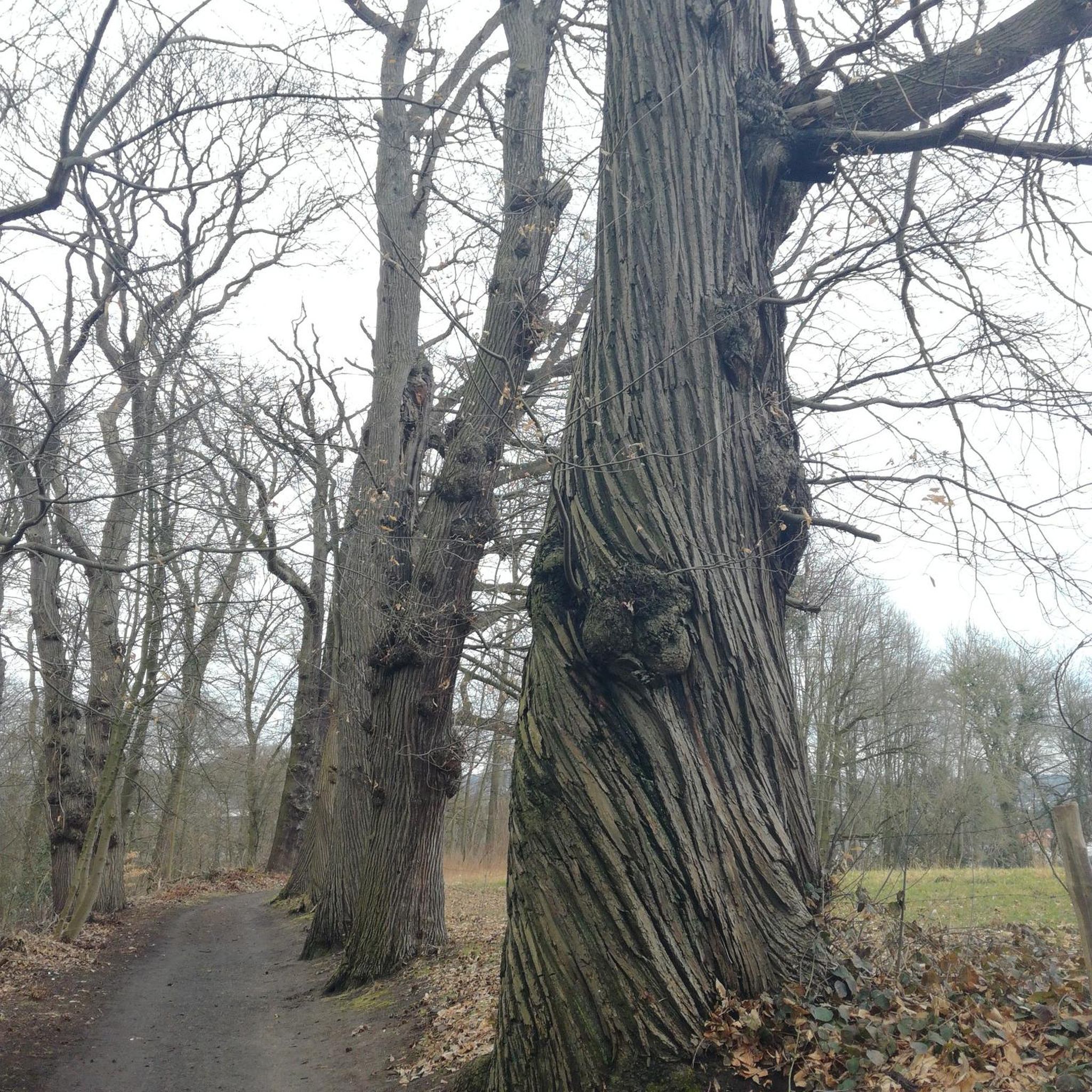
This is a great spot to stop along Coyote Creek to sit under the large oak trees and enjoy the sounds of the flowing water. There are picnic tables, a bridge, and plenty of grass area to play.
0
0
Frequently Asked Questions
How many road cycling routes are available in the Coyote Valley Open Space Preserve area?
There are over 15 road cycling routes available in the broader Coyote Valley area, offering diverse options for cyclists. These routes are highly rated by the komoot community, with an average score of 4.8 stars.
What kind of terrain can I expect on road cycling routes around Coyote Valley Open Space Preserve?
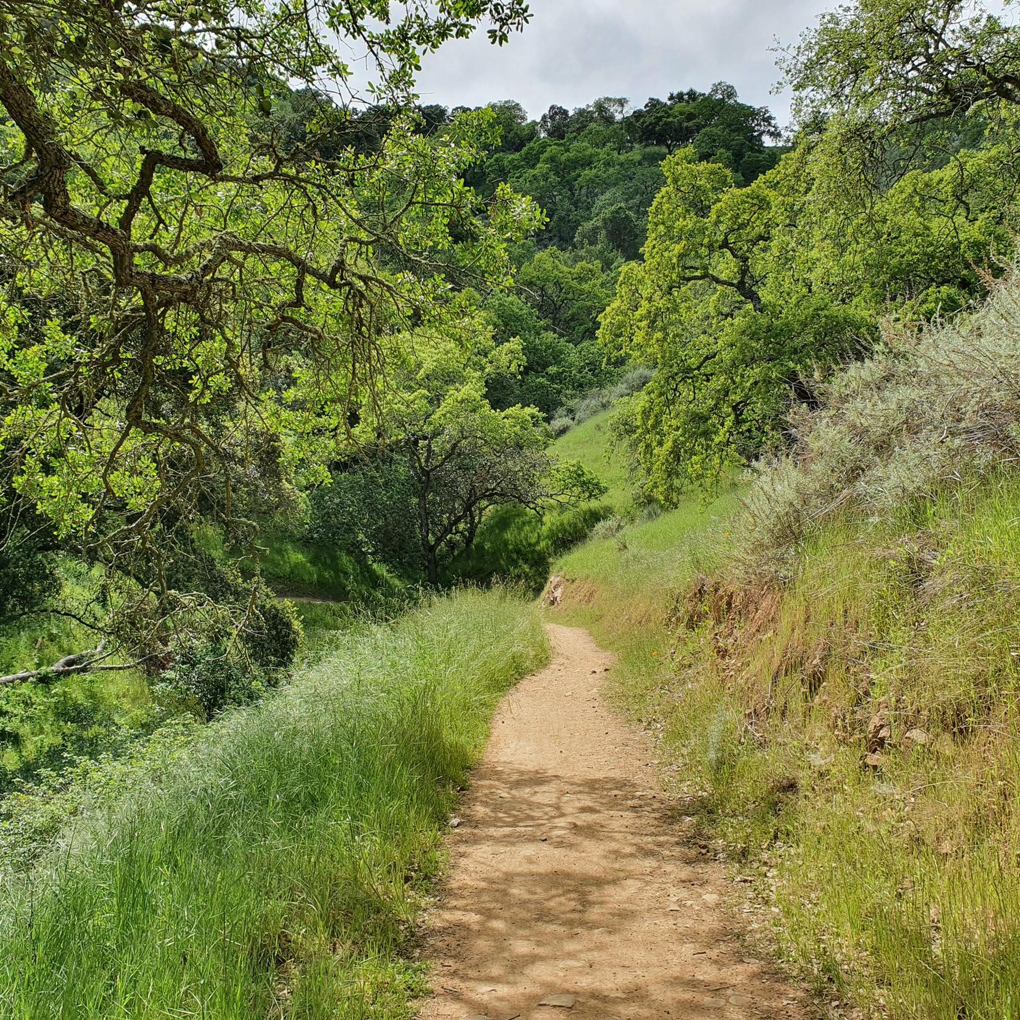
The road cycling routes in the Coyote Valley area are characterized by rolling hills, open grasslands, and sections that pass through oak and California bay forests. You'll find a mix of gentle gradients and more challenging ascents, with surfaces generally suitable for road bikes.
Are there road cycling routes suitable for beginners in the Coyote Valley area?
Yes, there are several easy road cycling routes perfect for beginners. For example, the Coyote Pond – Coyote Ranch loop from Hale Avenue & San Bruno Avenue is an easy 14.1-mile (22.8 km) trail featuring gentle gradients through open landscapes.
What are some moderate road cycling options in the region?
For a moderate challenge, consider the Coyote Creek Trail – Ogier Ponds Bike Path loop from Coyote Valley Open Space Preserve Entrance. This 27.2-mile (43.7 km) route offers varied terrain alongside the Coyote Creek Trail, passing through grasslands and near ponds. Another popular moderate option is the Calero Reservoir – View of Chesbro Reservoir loop from Rancho Cañada del Oro Open Space Preserve Entrance, which is 41.8 miles (67.2 km) and leads through rolling hills and past reservoirs.
Are there any challenging road cycling routes for experienced riders?
Experienced road cyclists can tackle more difficult routes such as the Calero Reservoir – Old Santa Cruz Highway loop from Rancho Cañada del Oro Open Space Preserve Entrance. This route spans 102.5 miles (165 km) and features significant elevation changes, making it suitable for advanced riders.
What scenic views or landmarks can I expect to see while road cycling in Coyote Valley?
Road cycling routes in the Coyote Valley offer stunning panoramic views of Mount Hamilton, Mount Umunhum, and the entire valley. You'll experience vast, calming open landscapes with rolling green hills, especially vibrant after rain. Some routes also pass by reservoirs like Calero and Chesbro, adding to the scenic beauty.
Is the Arrowhead Loop Trail within Coyote Valley Open Space Preserve suitable for road bikes?
The Arrowhead Loop Trail within the preserve is primarily a multi-use trail with a manicured gravel surface. While it has no technical sections, it is generally more suited for mountain bikes or hybrid bikes rather than traditional road bikes due to its surface type.
What is the best time of year to go road cycling in the Coyote Valley area?
Spring months are particularly beautiful for road cycling in Coyote Valley, as the meadows and hillsides come alive with dazzling displays of wildflowers, including orange poppies. The rolling green hills are also especially vibrant after winter rains. Fall offers opportunities to spot wildlife like tarantulas.
What wildlife might I encounter while cycling in the region?
The Coyote Valley is a critical ecological linkage, supporting a wide range of wildlife. Cyclists might spot various bird species like red-tailed hawks, golden eagles, and yellow-billed magpies. Deer, bobcats, and even tarantulas (in the fall) can also be observed in the area.
Are there family-friendly road cycling options near Coyote Valley Open Space Preserve?
While the preserve's internal trails are multi-use, the broader Coyote Valley offers easier road cycling routes with gentle gradients that can be suitable for families. The Coyote Pond – Coyote Ranch loop is an example of an easy route that could be enjoyed by families looking for a less strenuous ride.
Where can I find parking for road cycling routes in the Coyote Valley area?
Parking is generally available at various trailheads and access points for the road cycling routes in the Coyote Valley area, such as the Coyote Valley Open Space Preserve Entrance or Rancho Cañada del Oro Open Space Preserve Entrance. It's advisable to check specific route details for designated parking areas, as availability can be limited on busy weekends.
What do other road cyclists enjoy most about the routes in Coyote Valley?
The routes in the Coyote Valley area are highly rated by the komoot community, with an average score of 4.8 stars from over 20 reviews. Reviewers often praise the beautiful open landscapes, the variety of terrain from gentle to challenging, and the scenic views of the surrounding mountains and reservoirs.
Are there any nearby towns or amenities for cyclists near Coyote Valley Open Space Preserve?
The town of Morgan Hill is located nearby and offers various amenities such as cafes, pubs, and accommodation options. It's a convenient stop for refreshments or an overnight stay before or after your ride in the Coyote Valley area. You can find more information about local attractions and amenities on Visit Morgan Hill's website.
Most popular routes in Coyote Valley Open Space Preserve

Get inspired with the komoot mobile app


Explore more
Browse the best Road cycling routes in other regions.
