The best MTB trails in Gellibrand Point Nature Recreation Area
5.0
(1)
24
riders
3
rides
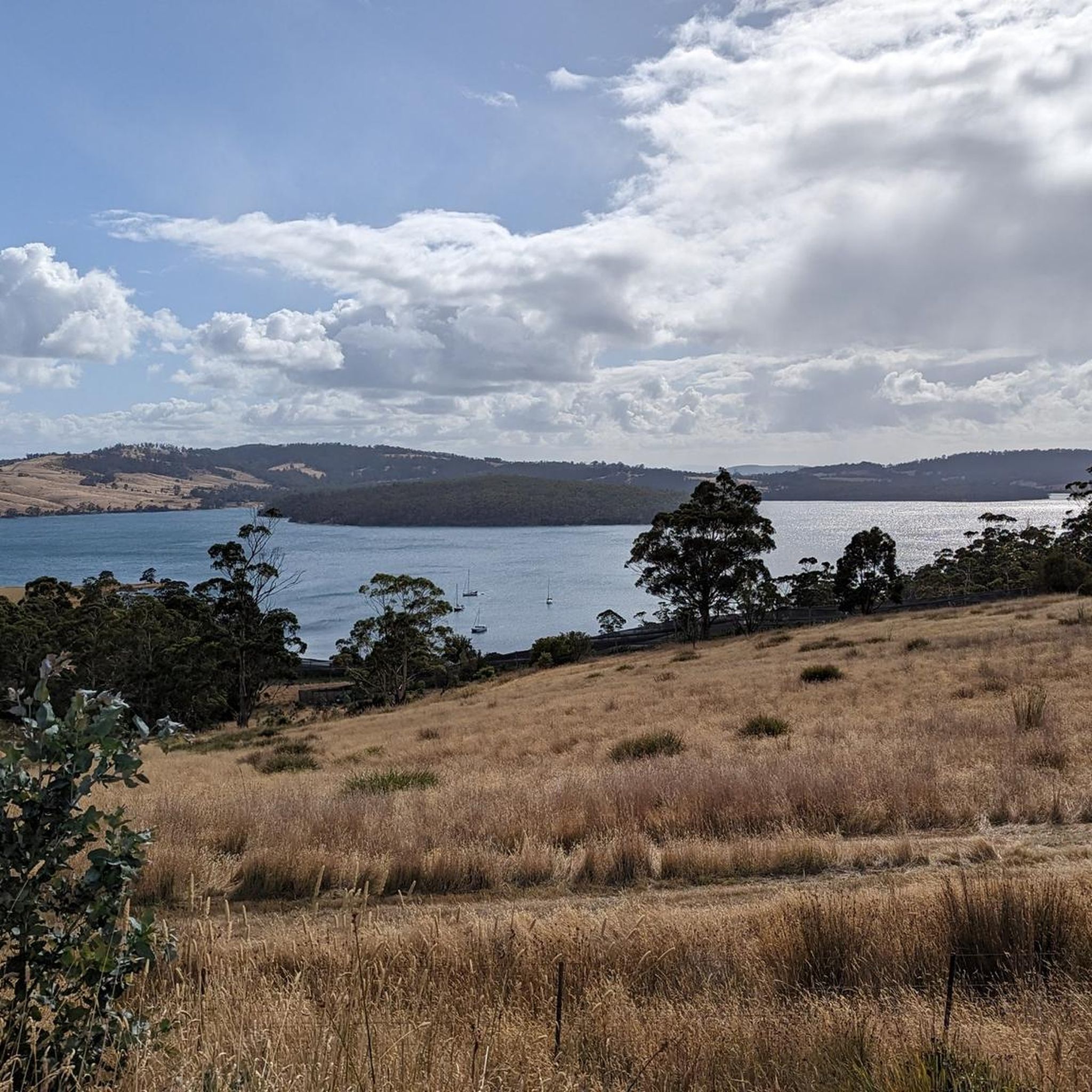
Mountain bike trails in Gellibrand Point Nature Recreation Area offer diverse landscapes for cycling. The region features coastal paths, forests, and elevated viewpoints providing expansive views of the Derwent estuary and kunanyi / Mount Wellington. This area, an intact headland on the south-east side of the Derwent River, combines natural recreation with historical points of interest. Its terrain includes sandy beaches, rocky shores, and paths through forests, suitable for various mountain biking skill levels.
Best mountain bike trails in Gellibrand…
Last updated: July 1, 2026
5.0
(1)
8
riders
26.6km
01:39
200m
200m
Easy mountain bike ride. Great for any fitness level. Suitable for all skill levels.
9
riders
17.3km
01:41
360m
360m
Moderate mountain bike ride. Good fitness required. Advanced riding skills necessary.

Sign up for free
5
riders
46.9km
03:34
990m
990m
Hard mountain bike ride. Very good fitness required. Advanced riding skills necessary.
2
riders
10.9km
00:56
190m
190m
Easy mountain bike ride. Great for any fitness level. Suitable for all skill levels.
Our route recommendations are based on thousands of hikes, rides, and runs completed by other people on komoot.
Start today with a free account
Your next adventure awaits.
Login or Signup


Tips from the Community

The Shot Tower Historic Site is one of the tallest buildings in Tasmania, a circular sandstone tower standing 58 metres high that was once used for producing lead shot. Today, anyone can ascend the 259 steps to the top for amazing views over the River Derwent and Hobart. There is also a café, tearoom, parking and toilets on site. It's free to climb the tower from 10:00 am to 5:00 pm.
0
0

Bellerive Beach is a beautiful stretch of sand with long views across the Derwent. Backed by open lawns and close to Bellerive’s village centre, the beach is an easy place to linger and watch sailboats and ferries moving across the river.
0
0
Wentworth Park is a spacious waterfront reserve with open green lawns and views across the River Derwent toward Hobart. There are picnic shelters, barbecues, toilets, and a playground, making it an ideal place to spend time by the water. Its foreshore setting, shaded areas, and easy access to the shoreline make it a popular spot for families and a relaxing break along the trail.
0
0

The Cascades Female Factory is the most significant site in Australia linked to female convicts, offering insight into a part of history that’s often overlooked. Set along the Hobart Rivulet Track, the preserved yards and ruins help explain how women and children lived here during the colonial period. It’s one of eleven locations included in the Australian Convict Sites World Heritage listing. Entry to the site requires a ticket, with interpretive displays and facilities available on site.
0
0

Beautiful track, plus the resident platypus is to be seen
0
0

Nice views of the Derwent river, Mt. Wellington, Hobart, Bruny Island etc
0
0

The Cascades Female Factory opened in 1828 taking over the premises of a failed brewery in the foothills of Mount Wellington, and operated until 1856. Convicts were marched from the docks in Hobart to the prison in full view of free citizens -- who could taunt and ridicule the women as they passed -- as a form of humiliation. Once inside, women spent their days washing endless amounts of linen, sewing uniforms, and unravelling tarred lengths of rope to be resold to the shipyards -- among other exhaustive tasks -- until they were considered reformed enough to be hired out as maids or nannies to free citizens. Described as a dark, damp, bitterly cold place, where women suffered needlessly and infants (most of whom were conceived during work releases) died from malnutrition and neglect, the Cascades Female Factory now serves to educate the public about its tragic history and the horrific abuse that convicts endured.
1
0
Frequently Asked Questions
How many mountain bike trails are available in Gellibrand Point Nature Recreation Area?
There are 4 mountain bike trails documented on komoot for the Gellibrand Point Nature Recreation Area, offering a range of experiences for different skill levels.
Are there any easy mountain bike trails suitable for beginners or families?
Yes, the area features several easy trails. For a family-friendly option, consider the Howrah Beach – Rosny Point Reserve loop from Tranmere, which is 25.9 km long. Another easy route is the Peter Murrell State Reserve loop from Maranoa Heights, covering 10.9 km.
What kind of terrain can I expect on the mountain bike trails in Gellibrand Point Nature Recreation Area?
You can expect diverse terrain, including coastal paths, sections through forests, and elevated viewpoints. The landscape features sandy beaches, rocky shores, and paths that accommodate various skill levels, from easy singletracks to more challenging routes.
Are there any challenging mountain bike routes for experienced riders?
Yes, for experienced riders seeking a challenge, the area offers difficult routes. The Stone Stairs Through the Gully loop from University of Tasmania is a demanding 45.0 km trail, and the Bonnet Hill – Denison Street Reserve loop from Huntingfield is another difficult option spanning 31.6 km.
What natural features or viewpoints can I see while mountain biking in the area?
The trails offer fantastic views of the Derwent estuary, extending across the Derwent River towards Hobart city, with kunanyi / Mount Wellington as a dramatic backdrop. You'll also encounter beautiful paths through forests along the sea, coastal cliffs, and sandy beaches like Mitchells Beach and Mary Ann Bay.
Are there any historical or cultural landmarks along the trails?
Yes, the area is rich in history. You can find the Gellibrand Vault, the burial site of William Gellibrand, and public artworks such as 'Seals and Penguins' and 'The Bernacchi Tribute'. A plaque also commemorates explorer James Clark Ross. The area is recognized for its extensive Aboriginal landscape.
What is the best time of year to go mountain biking in Gellibrand Point Nature Recreation Area?
While specific seasonal recommendations aren't provided, the diverse landscapes and coastal nature suggest that spring and autumn would offer pleasant temperatures and vibrant scenery. Summer can be warm, and winter might bring cooler, potentially wetter conditions, but trails are generally accessible year-round.
Is Gellibrand Point Nature Recreation Area suitable for mountain biking with children?
Yes, the area is considered suitable for families. The 'Gellibrand - Storm Bay View Link Mountain Biking Trail' is specifically described as an easy, family-friendly singletrack. Additionally, komoot lists easy routes like the Howrah Beach – Rosny Point Reserve loop from Tranmere that are suitable for less experienced riders.
What do other mountain bikers say about the trails in Gellibrand Point Nature Recreation Area?
The routes in Gellibrand Point Nature Recreation Area are highly rated by the komoot community, with an average score of 5.0 stars. Users often praise the varied terrain and scenic views, making it a rewarding destination for mountain biking.
Are there any loop trails available for mountain biking?
Yes, many of the trails are designed as loops. Examples include the easy Howrah Beach – Rosny Point Reserve loop from Tranmere, the moderate Penrhyn Pond – Heron Pond loop from Blackmans Bay, and the difficult Stone Stairs Through the Gully loop from University of Tasmania.
What kind of wildlife might I encounter on the trails?
The area is home to a variety of bird life, including wedge-tailed eagles. There is also a sensitive bird breeding habitat on a spit on the eastern side of Gellibrand Point, so riders should be mindful of local wildlife.
Where can I find more information about the Arm End Circuit mentioned in the region research?
The 'Arm End Circuit' is a well-known trail in the area suitable for mountain biking and walking. You can find more details about it on the Clarence City Council website: ccc.tas.gov.au.
Most popular routes in Gellibrand Point Nature Recreation Area

Get inspired with the komoot mobile app


Explore more
Browse the best MTB trails in other regions.
